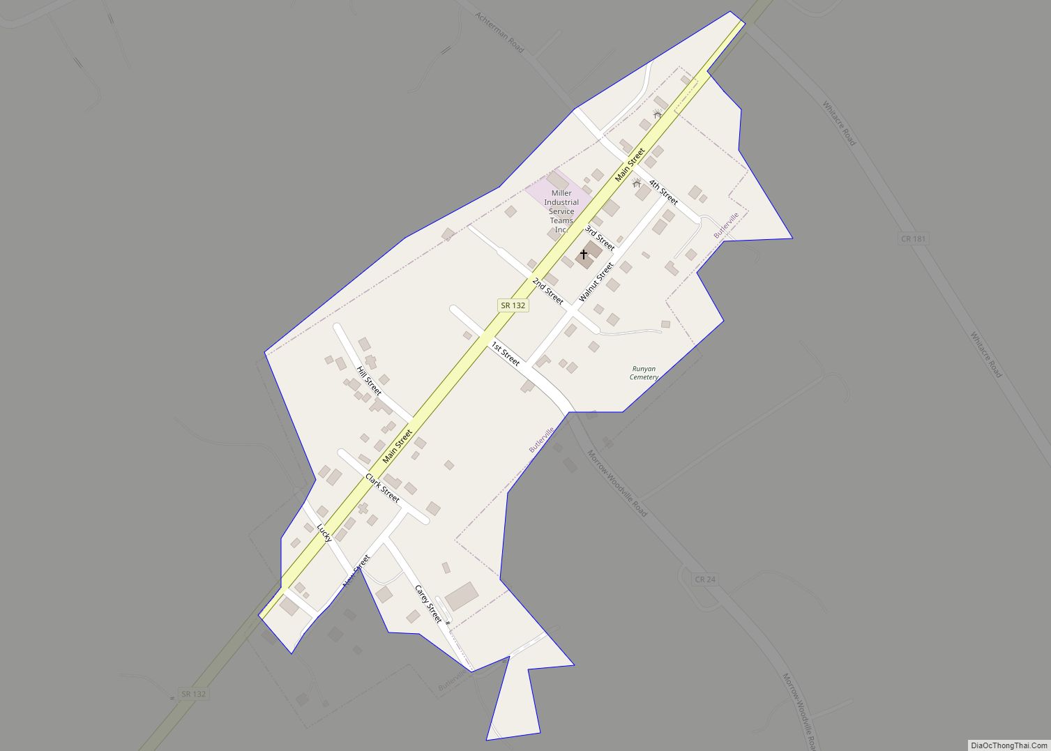
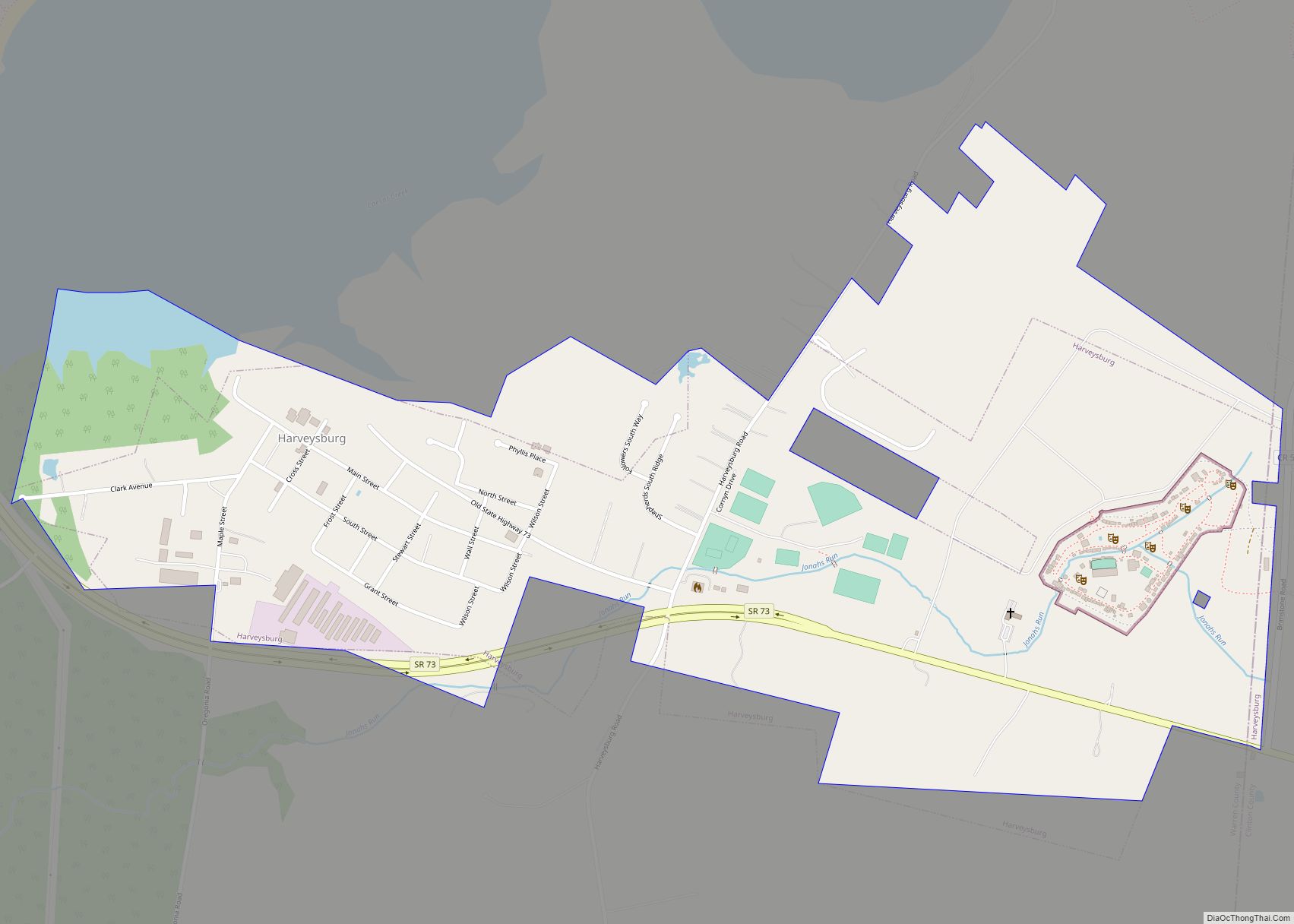
Harveysburg is a village in Massie Township, Warren County, Ohio, United States. The population was 554 at the 2020 census. It is best known as the home of the Ohio Renaissance Festival.
| Name: | Harveysburg village |
|---|---|
| LSAD Code: | 47 |
| LSAD Description: | village (suffix) |
| State: | Ohio |
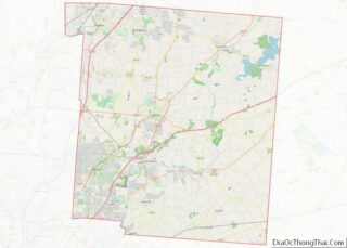
| County: | Warren County |
| Founded: | 1829 |
| Elevation: | 928 ft (283 m) |
| Total Area: | 1.02 sq mi (2.64 km²) |
| Land Area: | 0.99 sq mi (2.57 km²) |
| Water Area: | 0.02 sq mi (0.06 km²) |
| Total Population: | 554 |
| Population Density: | 557.34/sq mi (215.19/km²) |
| ZIP code: | 45032 |
| Area code: | 513 |
| FIPS code: | 3934384 |
| GNISfeature ID: | 1064810 |
| Website: | www.villageofharveysburg.org |
Online Interactive Map
Click on ![]() to view map in "full screen" mode.
to view map in "full screen" mode.
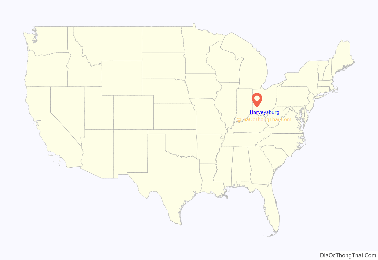
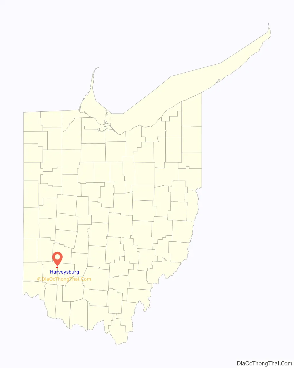
Harveysburg location map. Where is Harveysburg village?
History
Harveysburg was platted in 1829 by William Harvey, and named for him. Ardent abolitionists, the Harvey family established the Harvey Free Negro School in 1831. A post office has been in operation at Harveysburg since 1839.
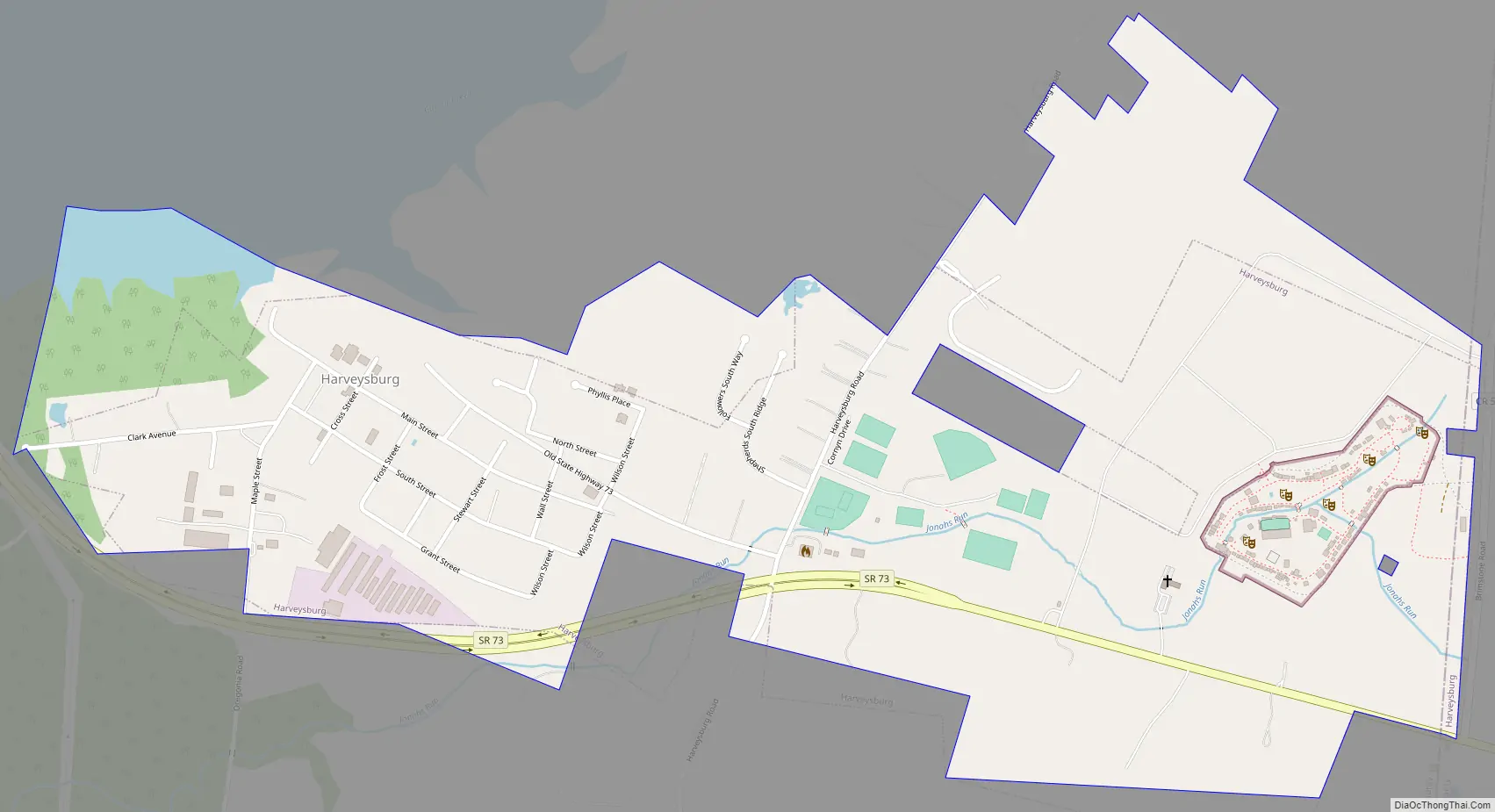
Harveysburg Road Map
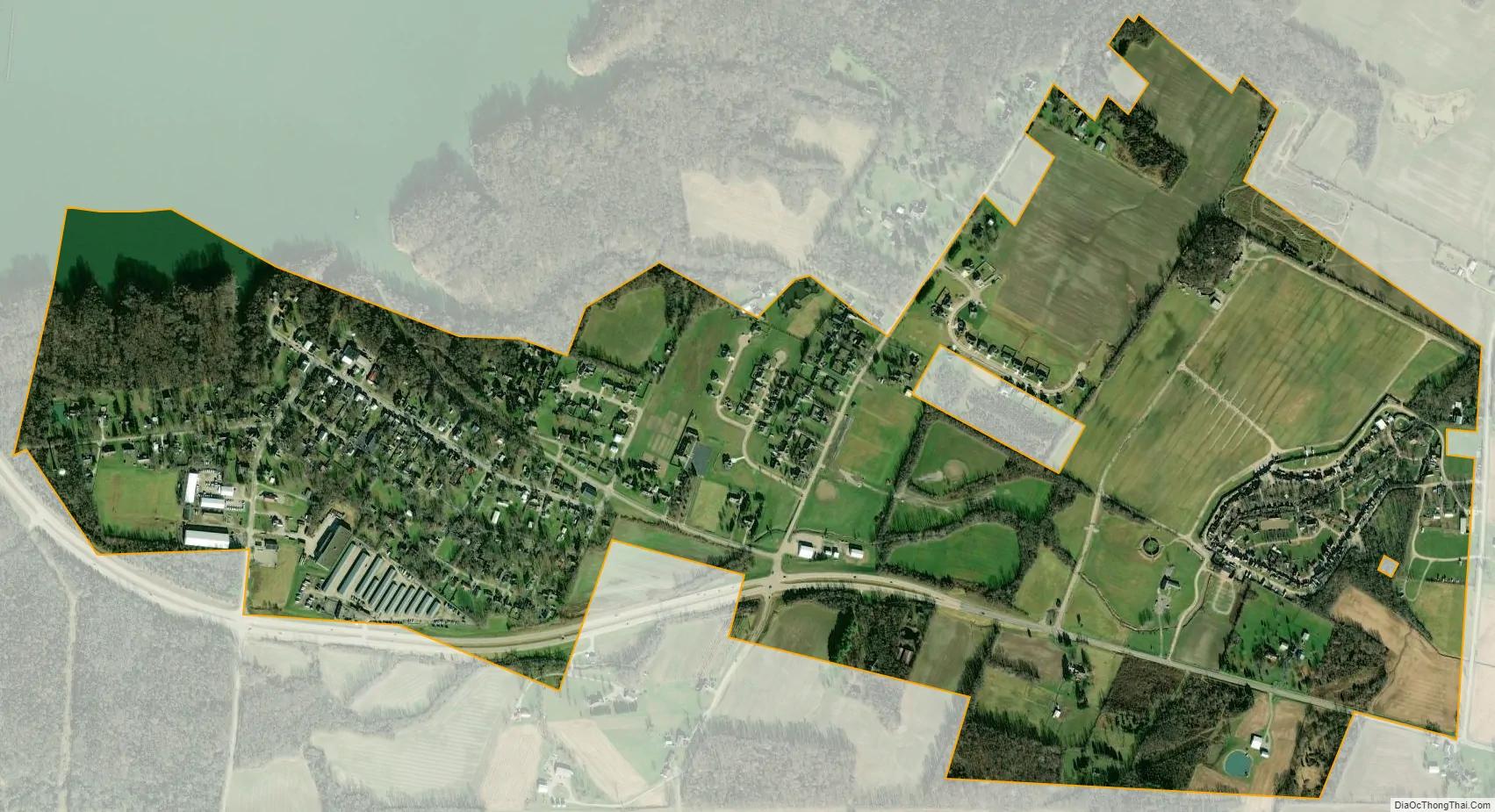
Harveysburg city Satellite Map
Geography
Harveysburg is located at 39°30′0″N 84°0′14″W / 39.50000°N 84.00389°W / 39.50000; -84.00389 (39.500100, −84.003915).
According to the United States Census Bureau, the village has a total area of 1.01 square miles (2.62 km), of which 0.99 square miles (2.56 km) is land and 0.02 square miles (0.05 km) is water.
See also
Map of Ohio State and its subdivision:- Adams
- Allen
- Ashland
- Ashtabula
- Athens
- Auglaize
- Belmont
- Brown
- Butler
- Carroll
- Champaign
- Clark
- Clermont
- Clinton
- Columbiana
- Coshocton
- Crawford
- Cuyahoga
- Darke
- Defiance
- Delaware
- Erie
- Fairfield
- Fayette
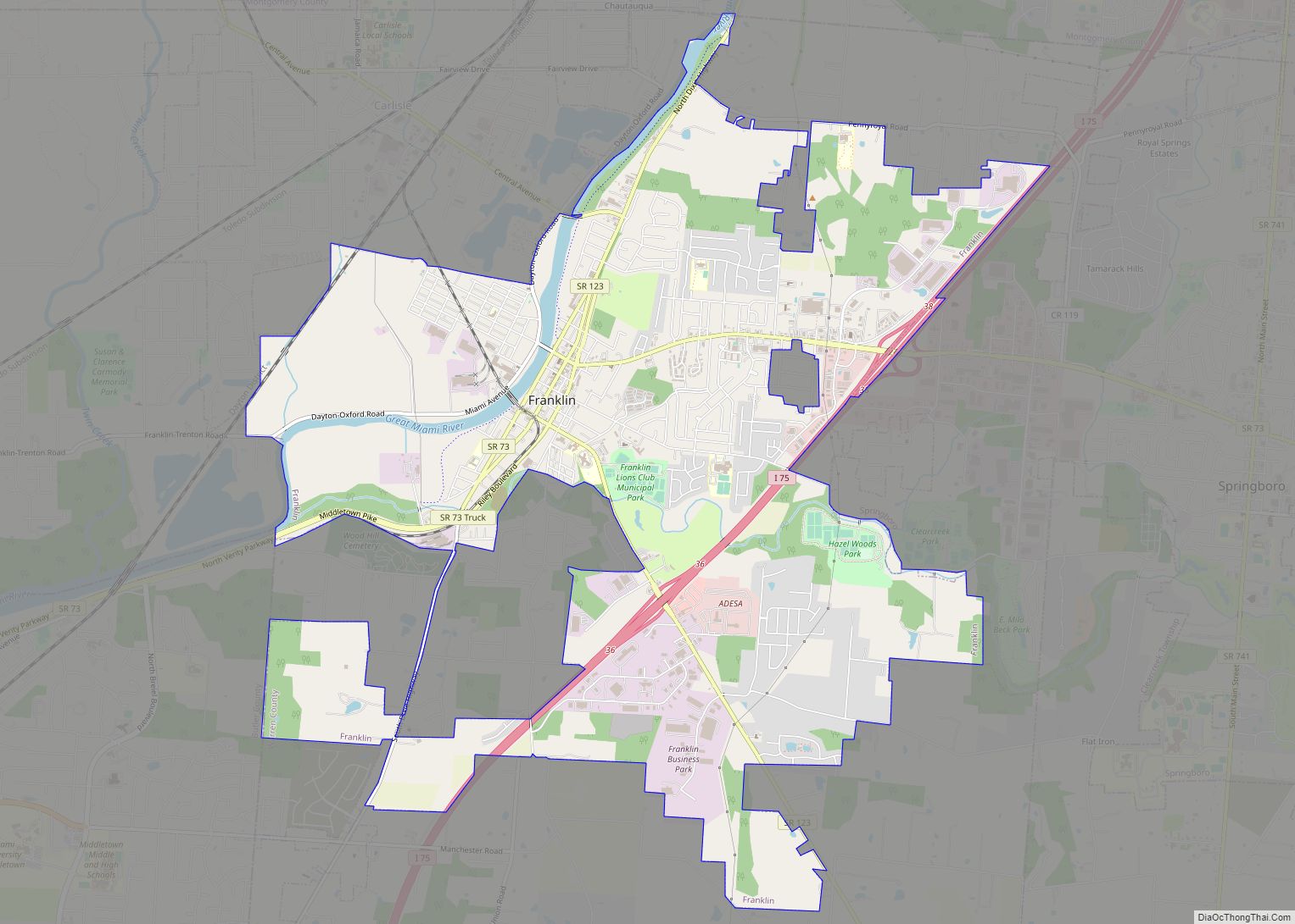
- Franklin
- Fulton
- Gallia
- Geauga
- Greene
- Guernsey
- Hamilton
- Hancock
- Hardin
- Harrison
- Henry
- Highland
- Hocking
- Holmes
- Huron
- Jackson
- Jefferson
- Knox
- Lake
- Lake Erie
- Lawrence
- Licking
- Logan
- Lorain
- Lucas
- Madison
- Mahoning
- Marion
- Medina
- Meigs
- Mercer
- Miami
- Monroe
- Montgomery
- Morgan
- Morrow
- Muskingum
- Noble
- Ottawa
- Paulding
- Perry
- Pickaway
- Pike
- Portage
- Preble
- Putnam
- Richland
- Ross
- Sandusky
- Scioto
- Seneca
- Shelby
- Stark
- Summit
- Trumbull
- Tuscarawas
- Union
- Van Wert
- Vinton
- Warren
- Washington
- Wayne
- Williams
- Wood
- Wyandot
- Alabama
- Alaska
- Arizona
- Arkansas
- California
- Colorado
- Connecticut
- Delaware
- District of Columbia
- Florida
- Georgia
- Hawaii
- Idaho
- Illinois
- Indiana
- Iowa
- Kansas
- Kentucky
- Louisiana
- Maine
- Maryland
- Massachusetts
- Michigan
- Minnesota
- Mississippi
- Missouri
- Montana
- Nebraska
- Nevada
- New Hampshire
- New Jersey
- New Mexico
- New York
- North Carolina
- North Dakota
- Ohio
- Oklahoma
- Oregon
- Pennsylvania
- Rhode Island
- South Carolina
- South Dakota
- Tennessee
- Texas
- Utah
- Vermont
- Virginia
- Washington
- West Virginia
- Wisconsin
- Wyoming