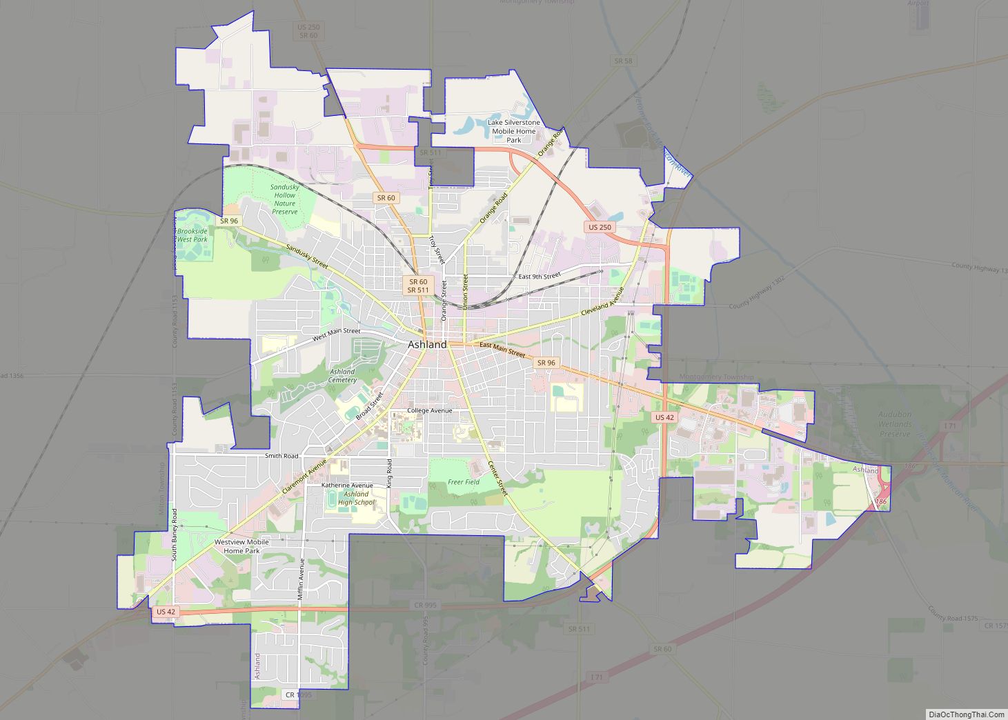
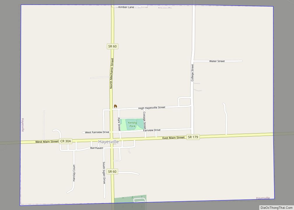
Hayesville is a village in Vermillion Township, Ashland County, Ohio, United States. The population was 447 at the 2020 census.
| Name: | Hayesville village |
|---|---|
| LSAD Code: | 47 |
| LSAD Description: | village (suffix) |
| State: | Ohio |
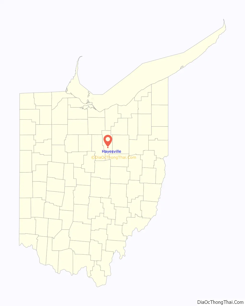
| County: | Ashland County |
| Elevation: | 1,240 ft (378 m) |
| Total Area: | 0.74 sq mi (1.92 km²) |
| Land Area: | 0.74 sq mi (1.91 km²) |
| Water Area: | 0.00 sq mi (0.01 km²) |
| Total Population: | 447 |
| Population Density: | 605.69/sq mi (233.88/km²) |
| ZIP code: | 44838 |
| Area code: | 419 |
| FIPS code: | 3934636 |
| GNISfeature ID: | 1064816 |
Online Interactive Map
Click on ![]() to view map in "full screen" mode.
to view map in "full screen" mode.
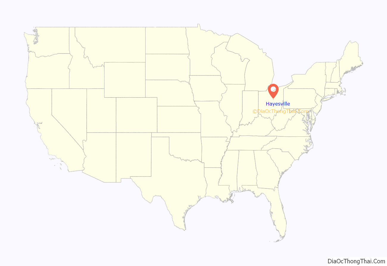
Hayesville location map. Where is Hayesville village?
History
Lemuel Boulter was the original owner of the land that the village of Hayesville was formed. Boulter sold his interest in the land to Linus Hayes. The first settlers came to the Hayesville area in 1817. A post office for the settlers was established in 1827 at Hayes Cross Roads. Hayesville was laid out in Vermillion Township and plots were recorded in Mansfield, Ohio on October 26, 1830. The village was named after Linus Hayes, proprietor. Hayes Cross Roads was later renamed Hayesville. The village of Hayesville was incorporated in 1849.
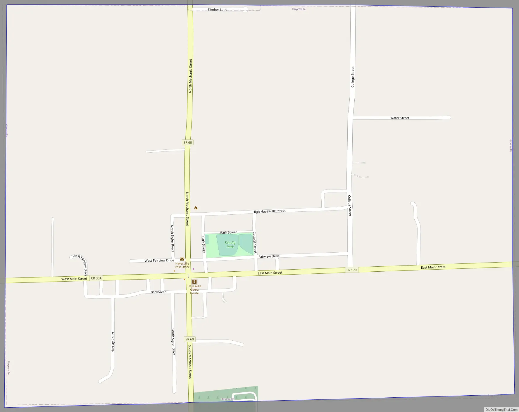
Hayesville Road Map
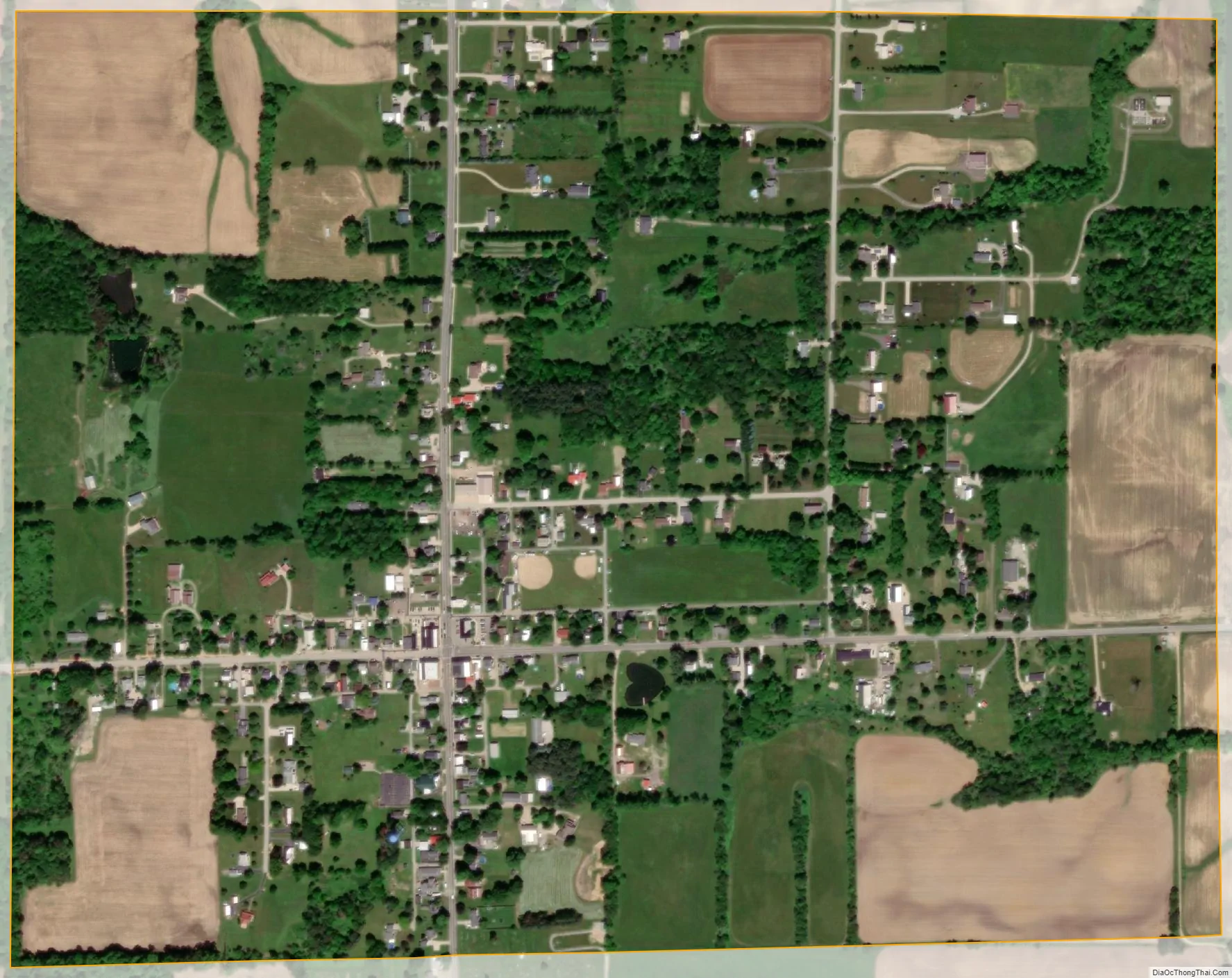
Hayesville city Satellite Map
Geography
Hayesville is located at 40°46′26″N 82°15′42″W / 40.77389°N 82.26167°W / 40.77389; -82.26167 (40.773853, -82.261753).
According to the United States Census Bureau, the village has a total area of 0.74 square miles (1.92 km), all land.
See also
Map of Ohio State and its subdivision:- Adams
- Allen
- Ashland
- Ashtabula
- Athens
- Auglaize
- Belmont
- Brown
- Butler
- Carroll
- Champaign
- Clark
- Clermont
- Clinton
- Columbiana
- Coshocton
- Crawford
- Cuyahoga
- Darke
- Defiance
- Delaware
- Erie
- Fairfield
- Fayette
- Franklin
- Fulton
- Gallia
- Geauga
- Greene
- Guernsey
- Hamilton
- Hancock
- Hardin
- Harrison
- Henry
- Highland
- Hocking
- Holmes
- Huron
- Jackson
- Jefferson
- Knox
- Lake
- Lake Erie
- Lawrence
- Licking
- Logan
- Lorain
- Lucas
- Madison
- Mahoning
- Marion
- Medina
- Meigs
- Mercer
- Miami
- Monroe
- Montgomery
- Morgan
- Morrow
- Muskingum
- Noble
- Ottawa
- Paulding
- Perry
- Pickaway
- Pike
- Portage
- Preble
- Putnam
- Richland
- Ross
- Sandusky
- Scioto
- Seneca
- Shelby
- Stark
- Summit
- Trumbull
- Tuscarawas
- Union
- Van Wert
- Vinton
- Warren
- Washington
- Wayne
- Williams
- Wood
- Wyandot
- Alabama
- Alaska
- Arizona
- Arkansas
- California
- Colorado
- Connecticut
- Delaware
- District of Columbia
- Florida
- Georgia
- Hawaii
- Idaho
- Illinois
- Indiana
- Iowa
- Kansas
- Kentucky
- Louisiana
- Maine
- Maryland
- Massachusetts
- Michigan
- Minnesota
- Mississippi
- Missouri
- Montana
- Nebraska
- Nevada
- New Hampshire
- New Jersey
- New Mexico
- New York
- North Carolina
- North Dakota
- Ohio
- Oklahoma
- Oregon
- Pennsylvania
- Rhode Island
- South Carolina
- South Dakota
- Tennessee
- Texas
- Utah
- Vermont
- Virginia
- Washington
- West Virginia
- Wisconsin
- Wyoming