Hide-A-Way Hills is a census-designated place (CDP) in Fairfield and Hocking counties in the U.S. state of Ohio. As of the 2010 census, the community had 688 residential units and a year-round population of 794.
| Name: | Hide-A-Way Hills CDP |
|---|---|
| LSAD Code: | 57 |
| LSAD Description: | CDP (suffix) |
| State: | Ohio |
| County: | Fairfield County, Hocking County |
| Elevation: | 960 ft (290 m) |
| Total Area: | 2.82 sq mi (7.31 km²) |
| Land Area: | 2.61 sq mi (6.75 km²) |
| Water Area: | 0.22 sq mi (0.56 km²) |
| Total Population: | 976 |
| Population Density: | 374.52/sq mi (144.61/km²) |
| FIPS code: | 3935126 |
| GNISfeature ID: | 1048834 |
| Website: | www.hideawayhillsclub.com |
Online Interactive Map
Click on ![]() to view map in "full screen" mode.
to view map in "full screen" mode.
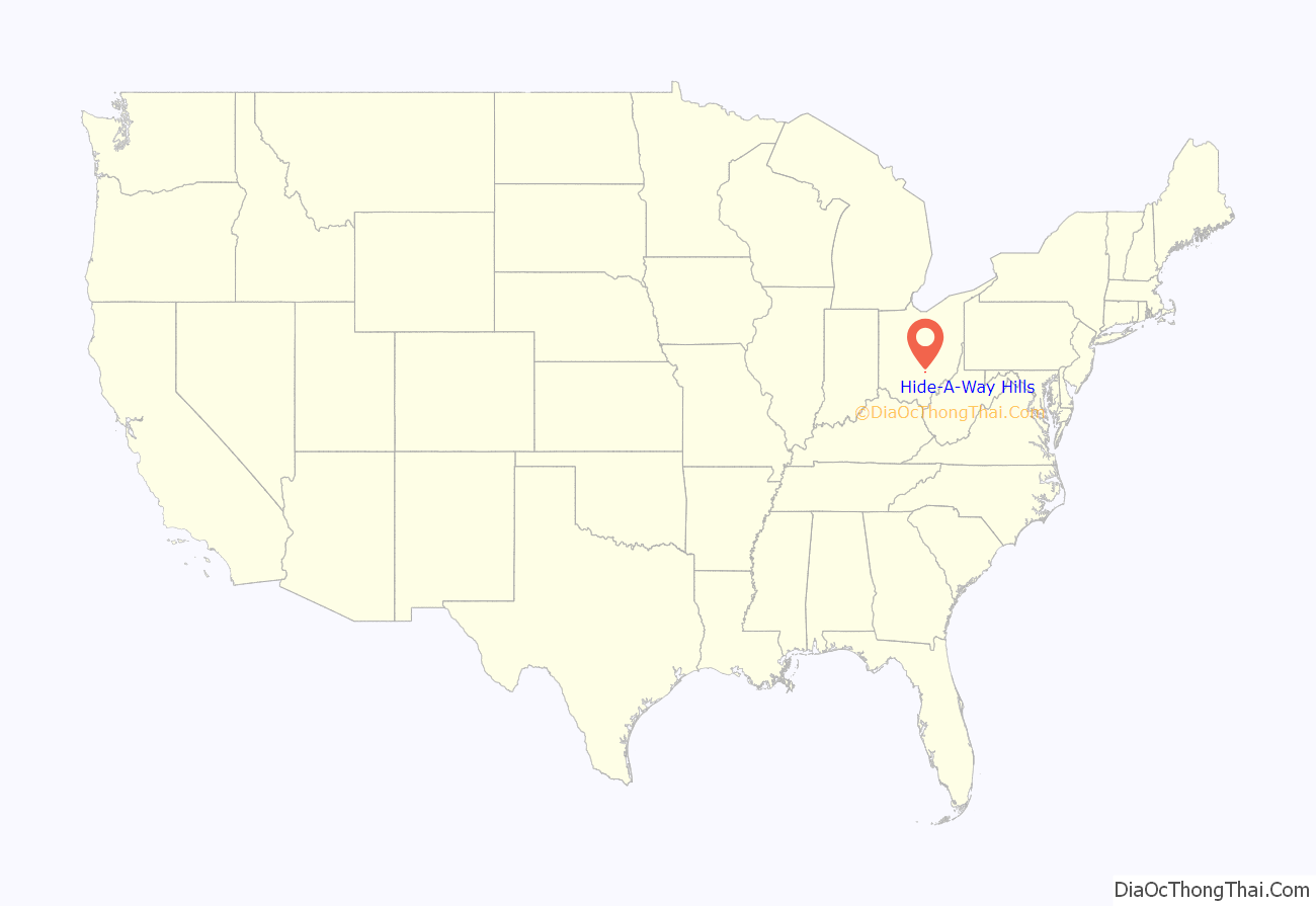
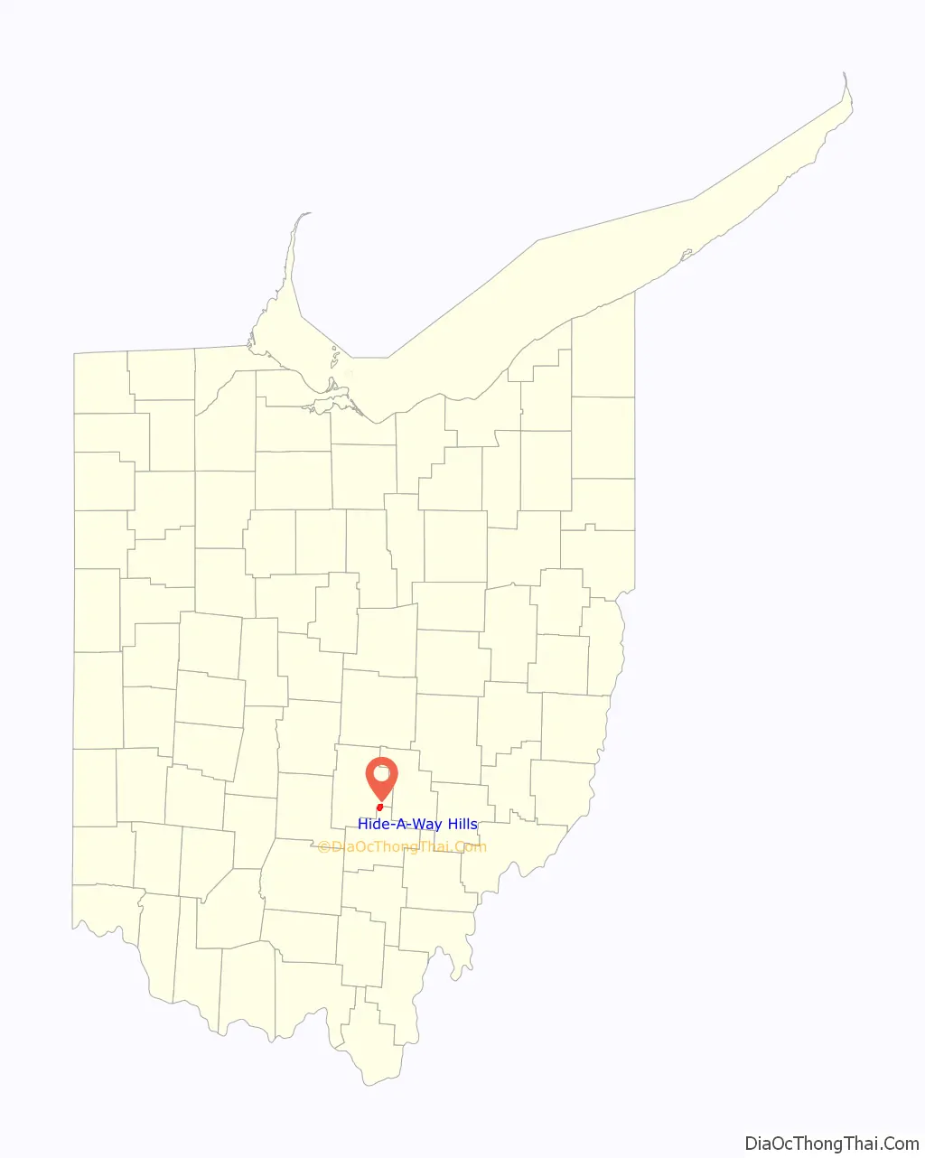
Hide-A-Way Hills location map. Where is Hide-A-Way Hills CDP?
History
Hide-A-Way Hills was founded in 1961 as a planned community. The 1,650-acre (670 ha) community was developed 10 miles (16 km) southeast of Lancaster, Ohio, and included a lodge, horse barn, and golf course. The original developer, Hide-A-Way Hills, Inc., controlled the development and the facilities of Hide-A-Way Hills until 1973.
In 1965, construction began on a dam that would create the 110-acre (45 ha) Lake of the Four Seasons. The dam cost about $500,000 and was completed in 1966. Five years after the completion of the dam, a marina, beach and playground were built on the north side of the lake.
The residents of Hide-A-Way Hills created a non-profit club in 1972, and on February 21, 1973, the club assumed ownership from the original developer. It was decided that the club would be operated by a nine-member Board of Trustees.
The community expanded its boundaries in 2004, when a 54-acre (22 ha) property adjacent to the community was offered for sale. The club purchased it in March of that year.
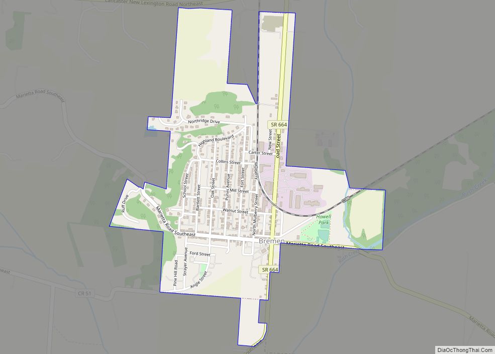
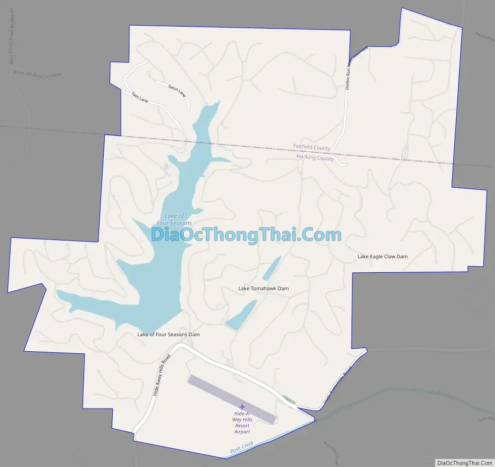
Hide-A-Way Hills Road Map
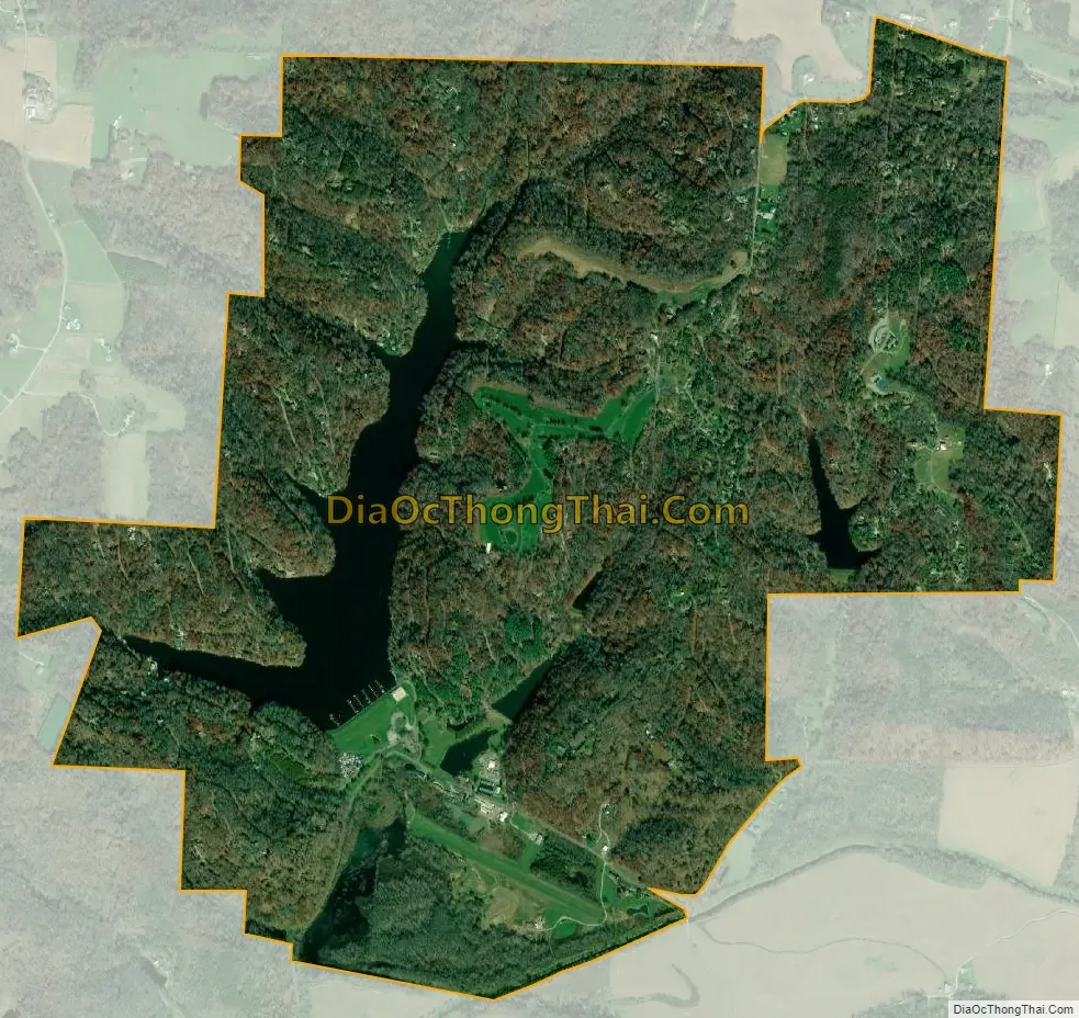
Hide-A-Way Hills city Satellite Map
Geography
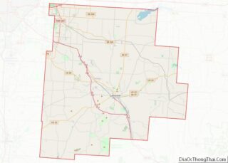
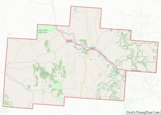
Hide-A-Way Hills is located in northern Hocking County and southeastern Fairfield County, surrounding Lake of the Four Seasons and several smaller lakes to the east, including Lake Eagle Claw, the easternmost. The lakes are built on several tributaries of Rush Creek, which in turn is a tributary of the Hocking River, which flows south to the Ohio River. About two-thirds of the community lies in northwestern Marion Township in Hocking County, while the remainder is in southern Rushcreek Township in Fairfield County.
Hide-A-Way Hills is 10 miles (16 km) southeast of Lancaster, the Fairfield County seat, and 12 miles (19 km) northwest of Logan, the seat of Hocking County. Columbus, the state capital, is 41 miles (66 km) to the northwest.
According to the United States Census Bureau, the Hide-A-Way Hills CDP has a total area of 2.8 square miles (7.3 km), of which 2.6 square miles (6.7 km) is land and 0.23 square miles (0.6 km), or 7.71%, is water.
See also
Map of Ohio State and its subdivision:- Adams
- Allen
- Ashland
- Ashtabula
- Athens
- Auglaize
- Belmont
- Brown
- Butler
- Carroll
- Champaign
- Clark
- Clermont
- Clinton
- Columbiana
- Coshocton
- Crawford
- Cuyahoga
- Darke
- Defiance
- Delaware
- Erie
- Fairfield
- Fayette
- Franklin
- Fulton
- Gallia
- Geauga
- Greene
- Guernsey
- Hamilton
- Hancock
- Hardin
- Harrison
- Henry
- Highland
- Hocking
- Holmes
- Huron
- Jackson
- Jefferson
- Knox
- Lake
- Lake Erie
- Lawrence
- Licking
- Logan
- Lorain
- Lucas
- Madison
- Mahoning
- Marion
- Medina
- Meigs
- Mercer
- Miami
- Monroe
- Montgomery
- Morgan
- Morrow
- Muskingum
- Noble
- Ottawa
- Paulding
- Perry
- Pickaway
- Pike
- Portage
- Preble
- Putnam
- Richland
- Ross
- Sandusky
- Scioto
- Seneca
- Shelby
- Stark
- Summit
- Trumbull
- Tuscarawas
- Union
- Van Wert
- Vinton
- Warren
- Washington
- Wayne
- Williams
- Wood
- Wyandot
- Alabama
- Alaska
- Arizona
- Arkansas
- California
- Colorado
- Connecticut
- Delaware
- District of Columbia
- Florida
- Georgia
- Hawaii
- Idaho
- Illinois
- Indiana
- Iowa
- Kansas
- Kentucky
- Louisiana
- Maine
- Maryland
- Massachusetts
- Michigan
- Minnesota
- Mississippi
- Missouri
- Montana
- Nebraska
- Nevada
- New Hampshire
- New Jersey
- New Mexico
- New York
- North Carolina
- North Dakota
- Ohio
- Oklahoma
- Oregon
- Pennsylvania
- Rhode Island
- South Carolina
- South Dakota
- Tennessee
- Texas
- Utah
- Vermont
- Virginia
- Washington
- West Virginia
- Wisconsin
- Wyoming