Hilliard is a city in Franklin County, Ohio, United States. The population was 37,114 at the 2020 census. It is a suburb of Columbus and part of Norwich Township. Hilliard is home to the Early Television Museum (the only one of its kind in United States), the second largest First Responders Park in the United States, and Heritage Rail Trail. Hilliard also has the only flag pole from the World Trade Center that is not in a museum. The flag pole is located in front of the fire department on Northwest Parkway. The Hilliard Historical Society maintains a historical village near the Franklin County Fairgrounds.
| Name: | Hilliard city |
|---|---|
| LSAD Code: | 25 |
| LSAD Description: | city (suffix) |
| State: | Ohio |
| County: | Franklin County |
| Elevation: | 935 ft (285 m) |
| Total Area: | 14.45 sq mi (37.42 km²) |
| Land Area: | 14.27 sq mi (36.96 km²) |
| Water Area: | 0.18 sq mi (0.46 km²) |
| Total Population: | 37,114 |
| Population Density: | 2,600.66/sq mi (1,004.11/km²) |
| ZIP code: | 43026 |
| Area code: | 614 and 380 |
| FIPS code: | 3935476 |
| GNISfeature ID: | 1056881 |
| Website: | www.hilliardohio.gov |
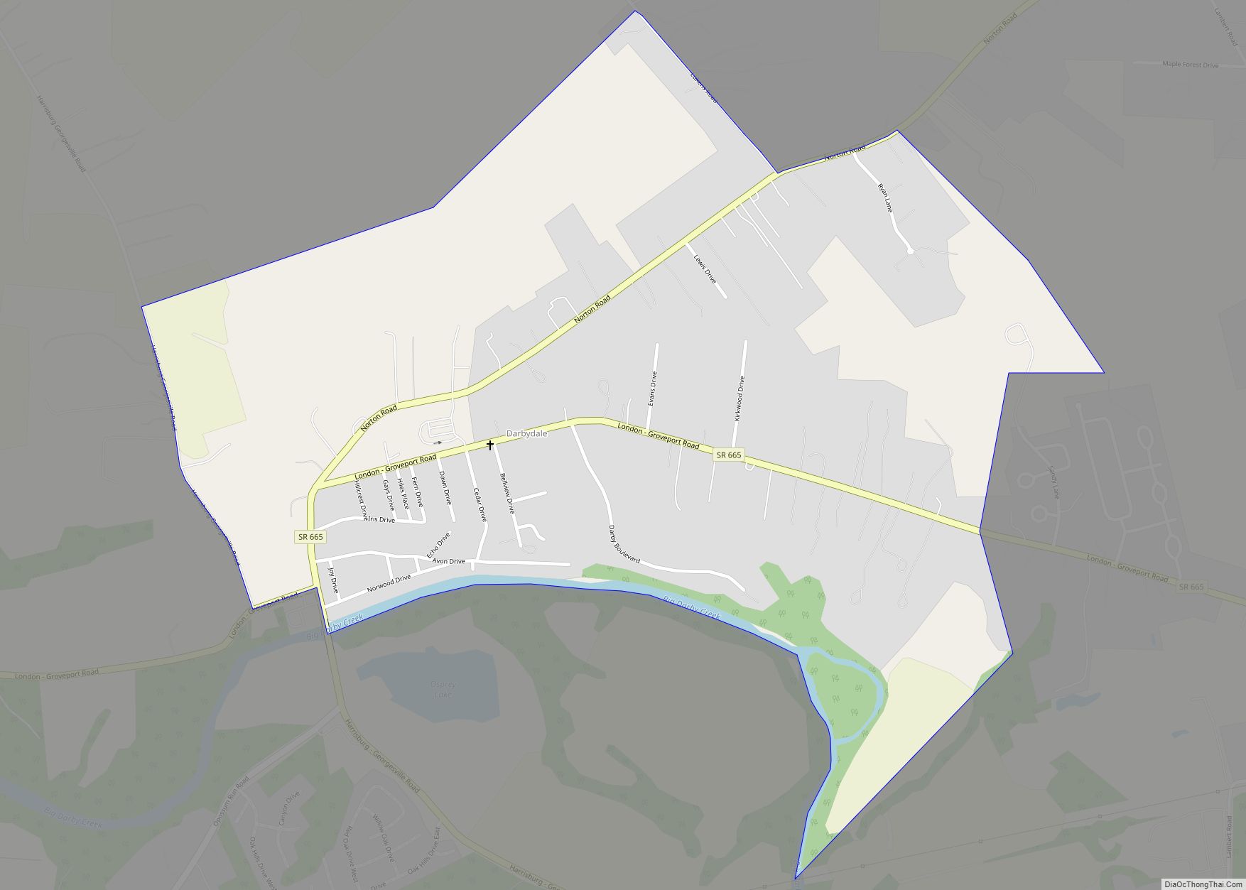
Online Interactive Map
Click on ![]() to view map in "full screen" mode.
to view map in "full screen" mode.
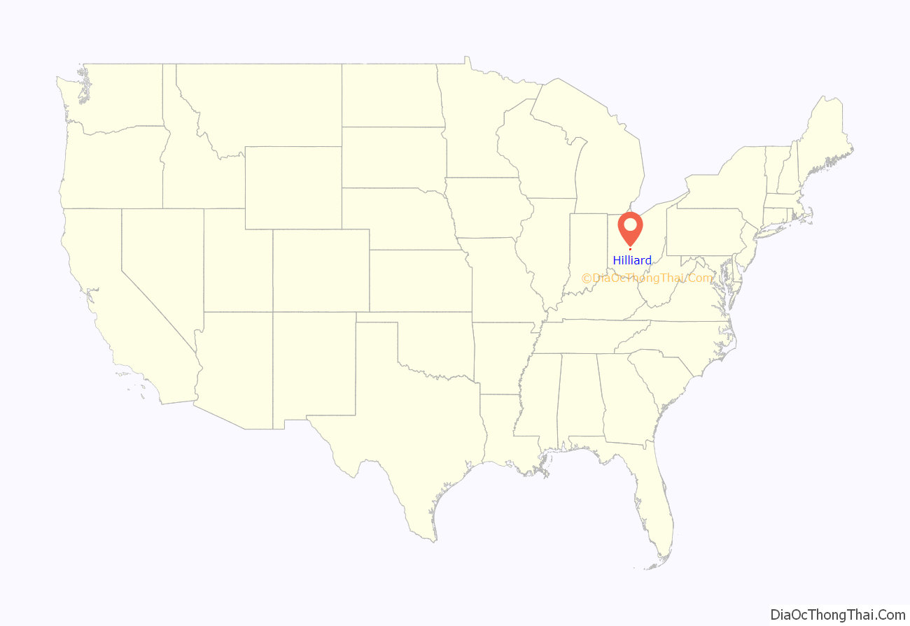
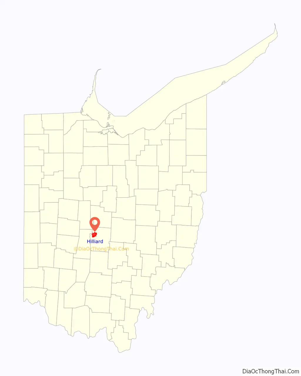
Hilliard location map. Where is Hilliard city?
History
In 1852, John Reed Hilliard bought 10 acres (40,000 m) of farmland in western Franklin County, Ohio from Hoseah High and Abraham Wendell. Geographically, the Hilliard area is between Big Darby Creek on the west and the Scioto River on the east. Originally called Hilliard’s Station, the town grew around the railroad route of the Piqua and Indiana Railroad station, which bisected the former Hilliard farmland. Hilliard’s Station served as an ideal shipping point for agricultural products going to market and supplies coming to the farmers in the area. The original Hilliard area was platted by John Hilliard on September 1, 1853.
Until the mid 20th century, the railroad station and Main Street were the town center. In 1854, a post office was established in Hilliard’s Station and the word Station was dropped from the town name. The Village of Hilliard became incorporated on July 13, 1869 with a population of 280 residents. In 1886 the first railroad station was located on the north side of the tracks, west of Main Street, and remained there until 1962 when all railroad services ceased. The original train station has been restored and remains in Hilliard’s historical Weaver Park. The original platted area contained a mix of residences and businesses of varying ages and architecture.
The construction of three large residential subdivisions in the 1950s brought explosive growth to Hilliard. The connection to the Columbus regional sewer and water systems in the 1960s opened up the area to development. The Village of Hilliard gained city status officially from the Ohio Secretary of State by attaining a population of 5,633 on December 12, 1960.
With the completion of the I-270 outerbelt in the early 1970s, a second wave of explosive growth came to the area. Land uses in Hilliard continue to be a mix of residential and commercial development. A rich heritage of residential structures and architectural styles can be found in the historic district along Norwich Street.
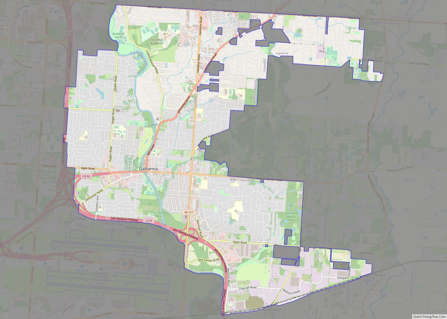
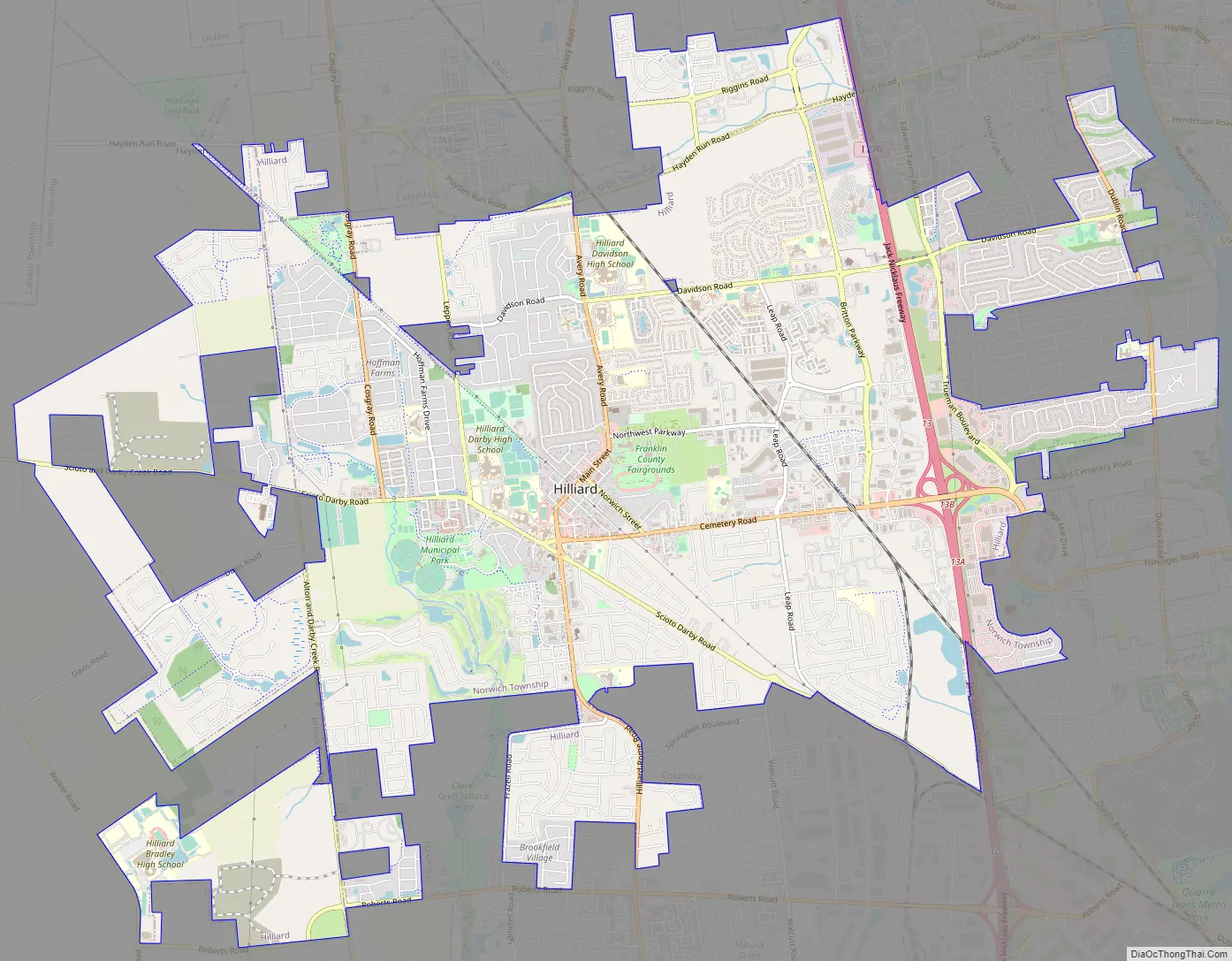
Hilliard Road Map
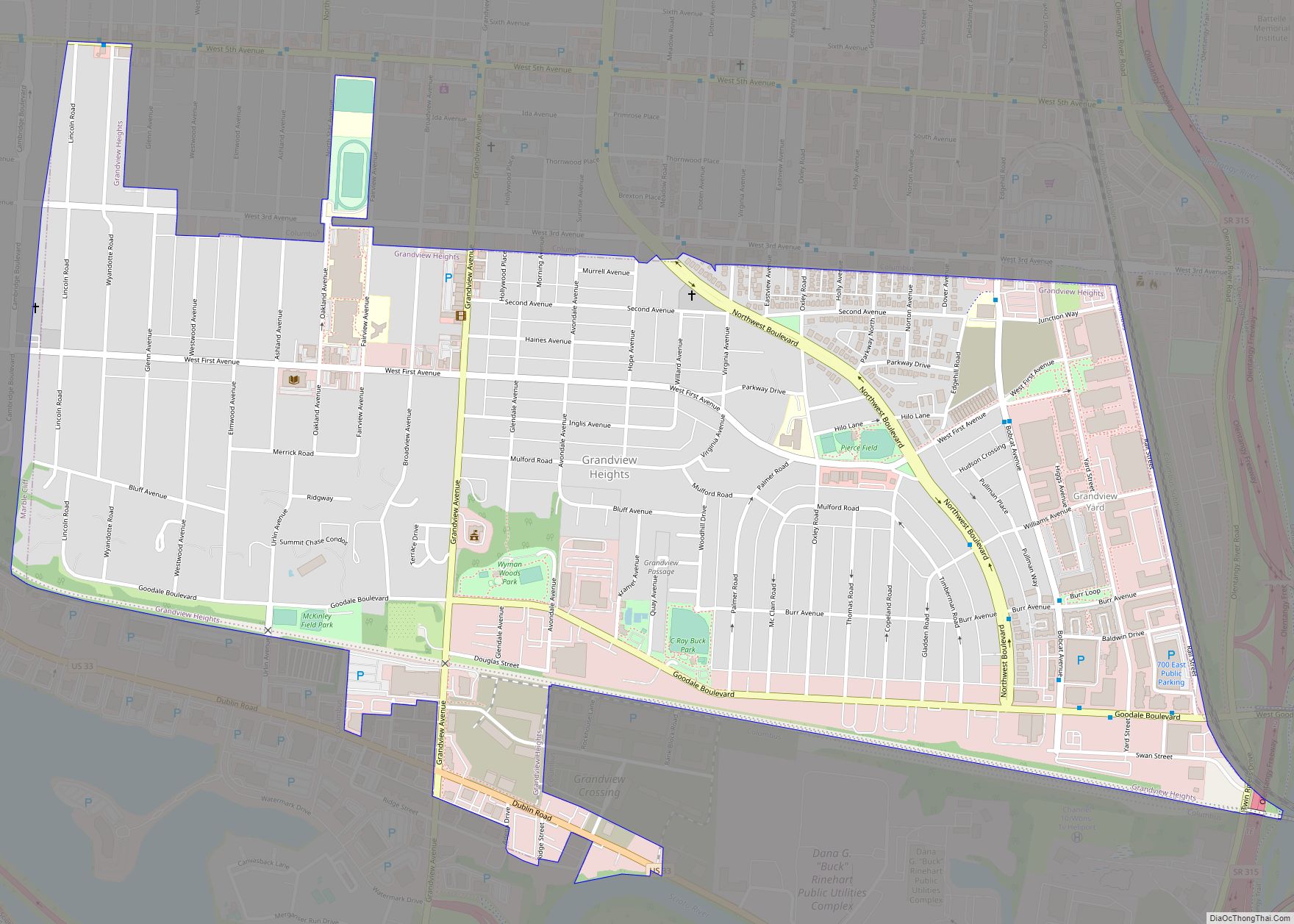
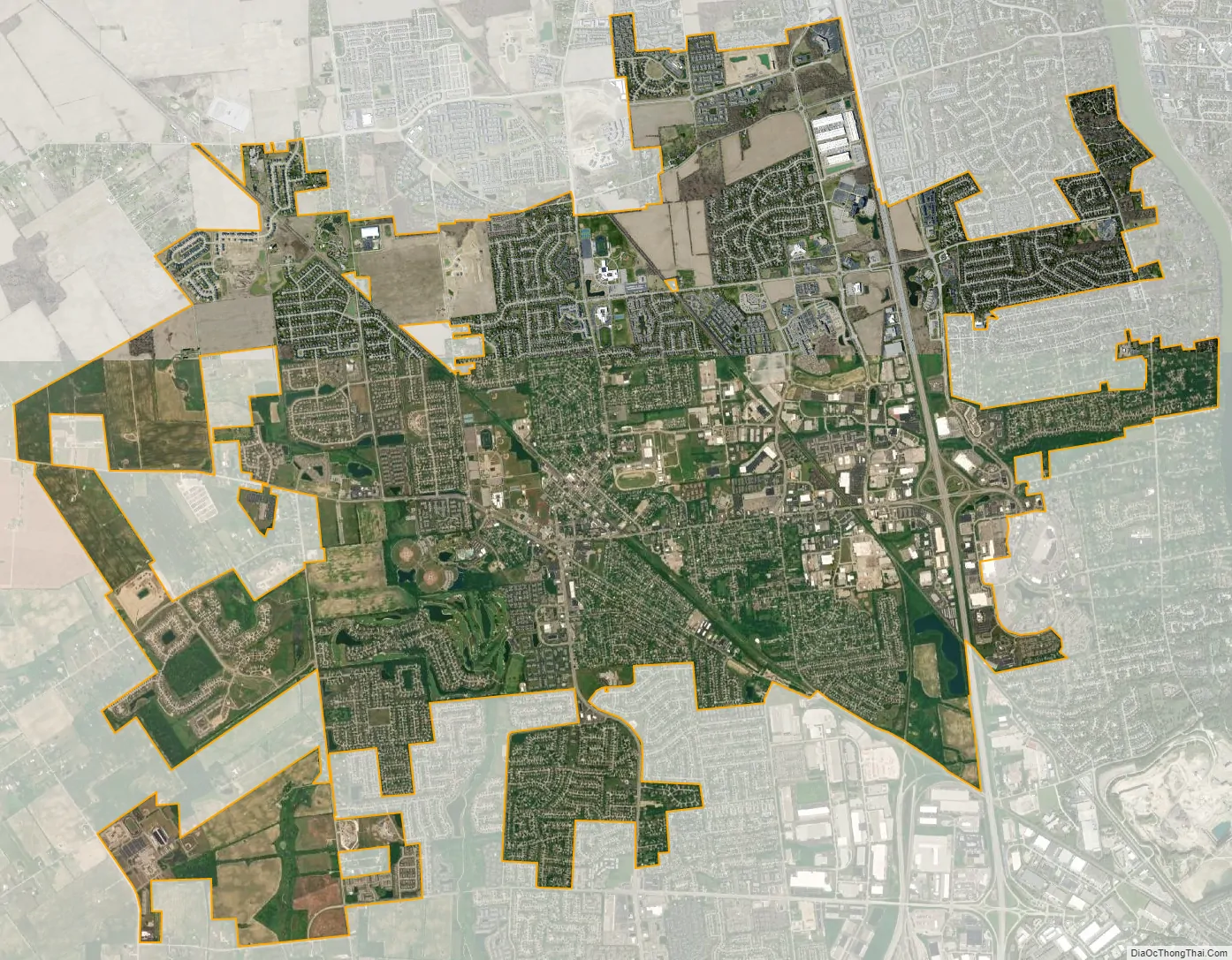
Hilliard city Satellite Map
Geography
Hilliard is located at 40°2′4″N 83°8′34″W / 40.03444°N 83.14278°W / 40.03444; -83.14278 (40.034310, -83.142678). It is bordered on the east by Columbus and Upper Arlington, on the north by Columbus and Dublin, on the south by Galloway and Columbus, and to the west lies open farmland. Downtown Columbus lies in a distance to the southeast, its skyline visible at times when crossing bridges.
According to the United States Census Bureau, the city has a total area of 13.34 square miles (34.55 km), of which 13.17 square miles (34.11 km) is land and 0.17 square miles (0.44 km) is water.
See also
Map of Ohio State and its subdivision:- Adams
- Allen
- Ashland
- Ashtabula
- Athens
- Auglaize
- Belmont
- Brown
- Butler
- Carroll
- Champaign
- Clark
- Clermont
- Clinton
- Columbiana
- Coshocton
- Crawford
- Cuyahoga
- Darke
- Defiance
- Delaware
- Erie
- Fairfield
- Fayette
- Franklin
- Fulton
- Gallia
- Geauga
- Greene
- Guernsey
- Hamilton
- Hancock
- Hardin
- Harrison
- Henry
- Highland
- Hocking
- Holmes
- Huron
- Jackson
- Jefferson
- Knox
- Lake
- Lake Erie
- Lawrence
- Licking
- Logan
- Lorain
- Lucas
- Madison
- Mahoning
- Marion
- Medina
- Meigs
- Mercer
- Miami
- Monroe
- Montgomery
- Morgan
- Morrow
- Muskingum
- Noble
- Ottawa
- Paulding
- Perry
- Pickaway
- Pike
- Portage
- Preble
- Putnam
- Richland
- Ross
- Sandusky
- Scioto
- Seneca
- Shelby
- Stark
- Summit
- Trumbull
- Tuscarawas
- Union
- Van Wert
- Vinton
- Warren
- Washington
- Wayne
- Williams
- Wood
- Wyandot
- Alabama
- Alaska
- Arizona
- Arkansas
- California
- Colorado
- Connecticut
- Delaware
- District of Columbia
- Florida
- Georgia
- Hawaii
- Idaho
- Illinois
- Indiana
- Iowa
- Kansas
- Kentucky
- Louisiana
- Maine
- Maryland
- Massachusetts
- Michigan
- Minnesota
- Mississippi
- Missouri
- Montana
- Nebraska
- Nevada
- New Hampshire
- New Jersey
- New Mexico
- New York
- North Carolina
- North Dakota
- Ohio
- Oklahoma
- Oregon
- Pennsylvania
- Rhode Island
- South Carolina
- South Dakota
- Tennessee
- Texas
- Utah
- Vermont
- Virginia
- Washington
- West Virginia
- Wisconsin
- Wyoming