Howland Center is an unincorporated community and census-designated place in south-central Trumbull County, Ohio, United States. The population was 6,351 at the 2020 census. A suburb consisting of unincorporated urban portions of Howland Township, it is part of the Youngstown–Warren metropolitan area.
| Name: | Howland Center CDP |
|---|---|
| LSAD Code: | 57 |
| LSAD Description: | CDP (suffix) |
| State: | Ohio |
| County: | Trumbull County |
| Elevation: | 892 ft (272 m) |
| Total Area: | 4.05 sq mi (10.49 km²) |
| Land Area: | 4.05 sq mi (10.49 km²) |
| Water Area: | 0.00 sq mi (0.00 km²) |
| Total Population: | 6,351 |
| Population Density: | 1,568.54/sq mi (605.67/km²) |
| FIPS code: | 3936557 |
| GNISfeature ID: | 1867457 |
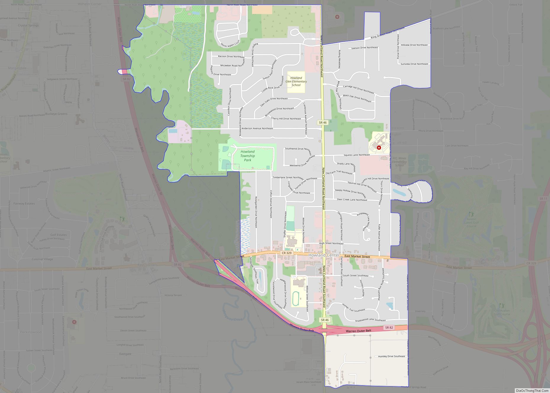
Online Interactive Map
Click on ![]() to view map in "full screen" mode.
to view map in "full screen" mode.
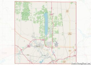
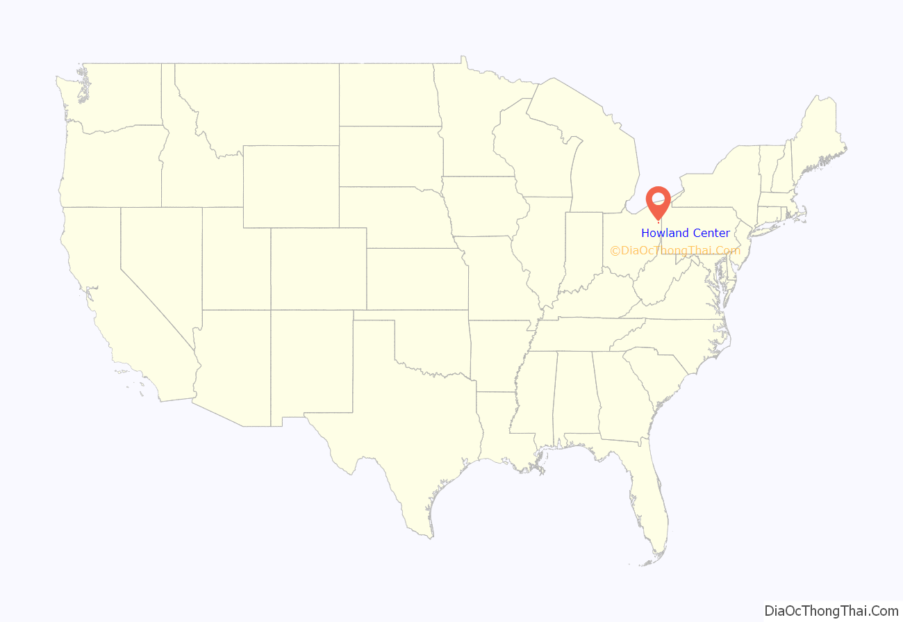
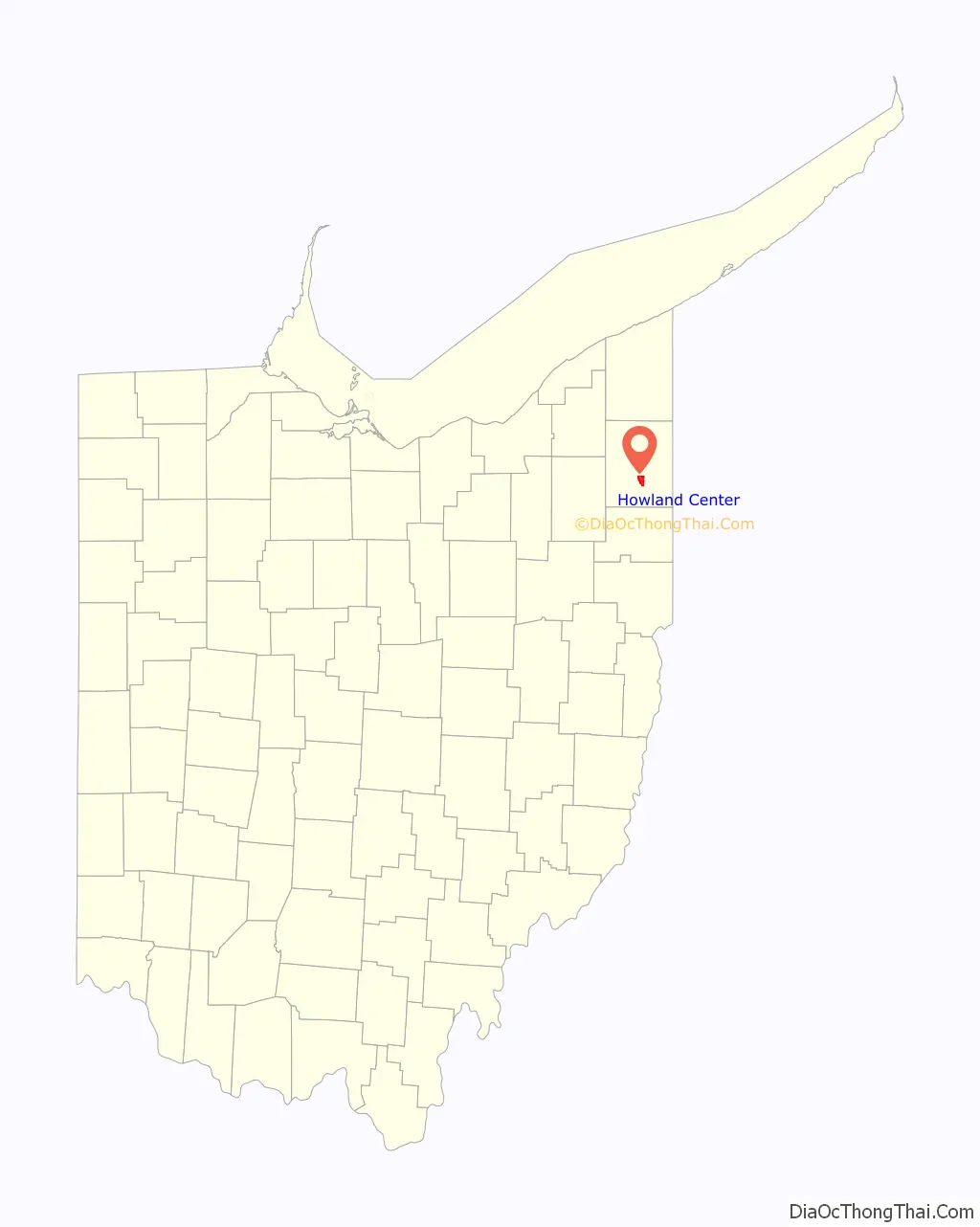
Howland Center location map. Where is Howland Center CDP?
History
In 1620, John Howland landed in Plymouth, Massachusetts aboard the Mayflower. A descendant of his, Joseph Howland, purchased the township from the Connecticut Land Company in 1795. The first settler arrived in 1799, and Howland Township was organized in 1812. A sawmill was constructed in Howland in 1814, with a gristmill constructed the following year. Circa 1830, Howland Springs began operation as a health spa; it operated in the township until it burned in 1882. The Howland Local School District was formed in 1917 from the consolidation of five one-room schools. The township was sparsely populated until 1953, when the Clifton-Hyde housing development was built. The township has seen sustained growth since that time, as the nearby cities of Warren and Youngstown have suburbanized the township.
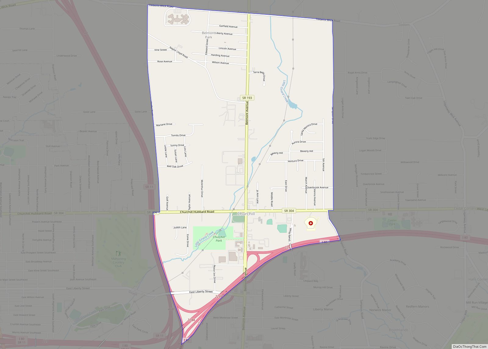
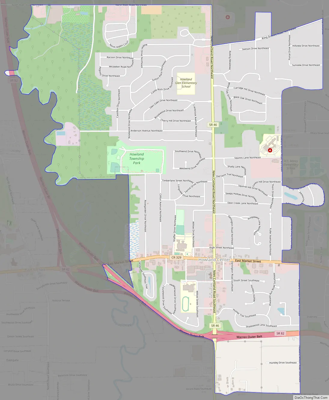
Howland Center Road Map
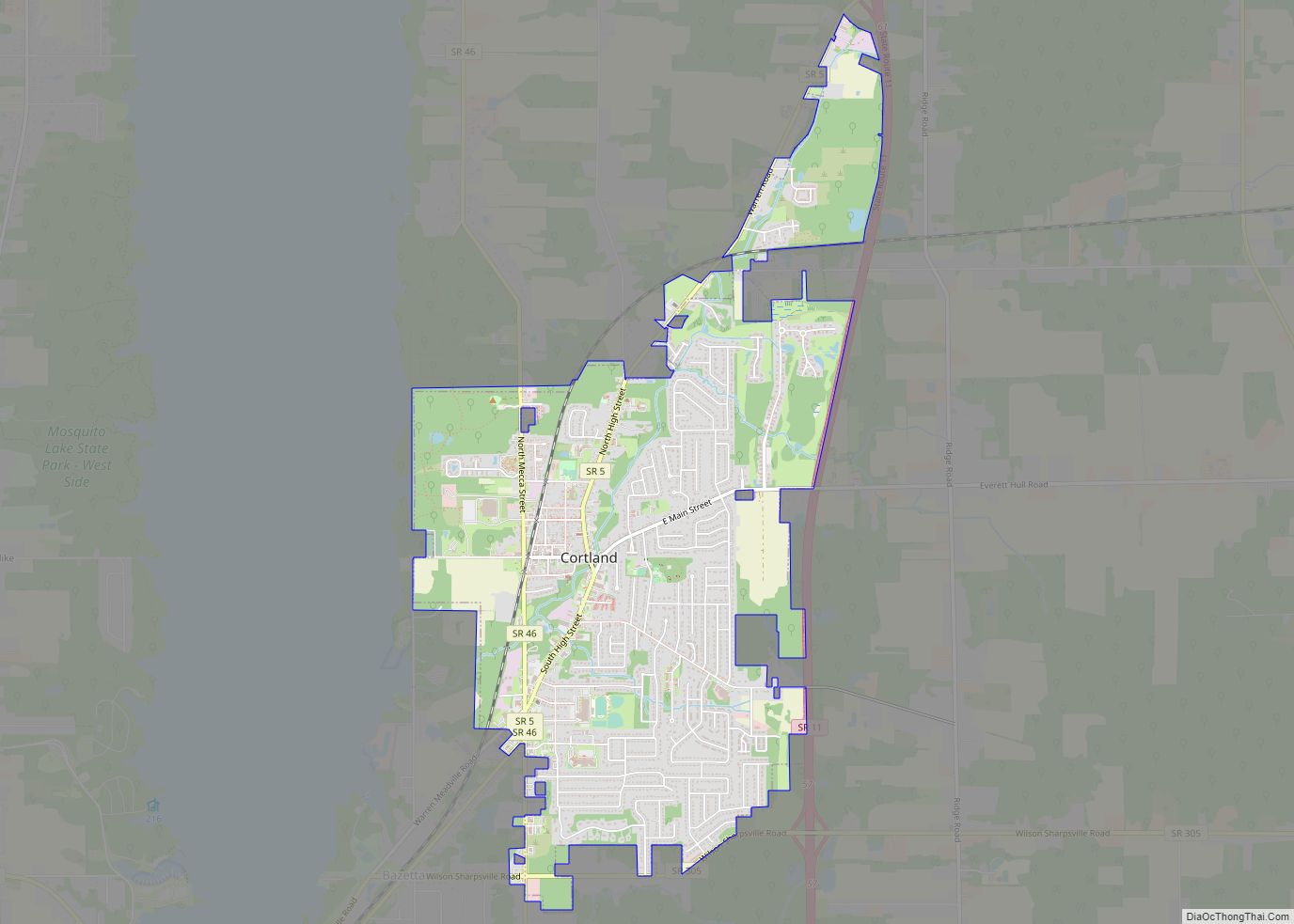
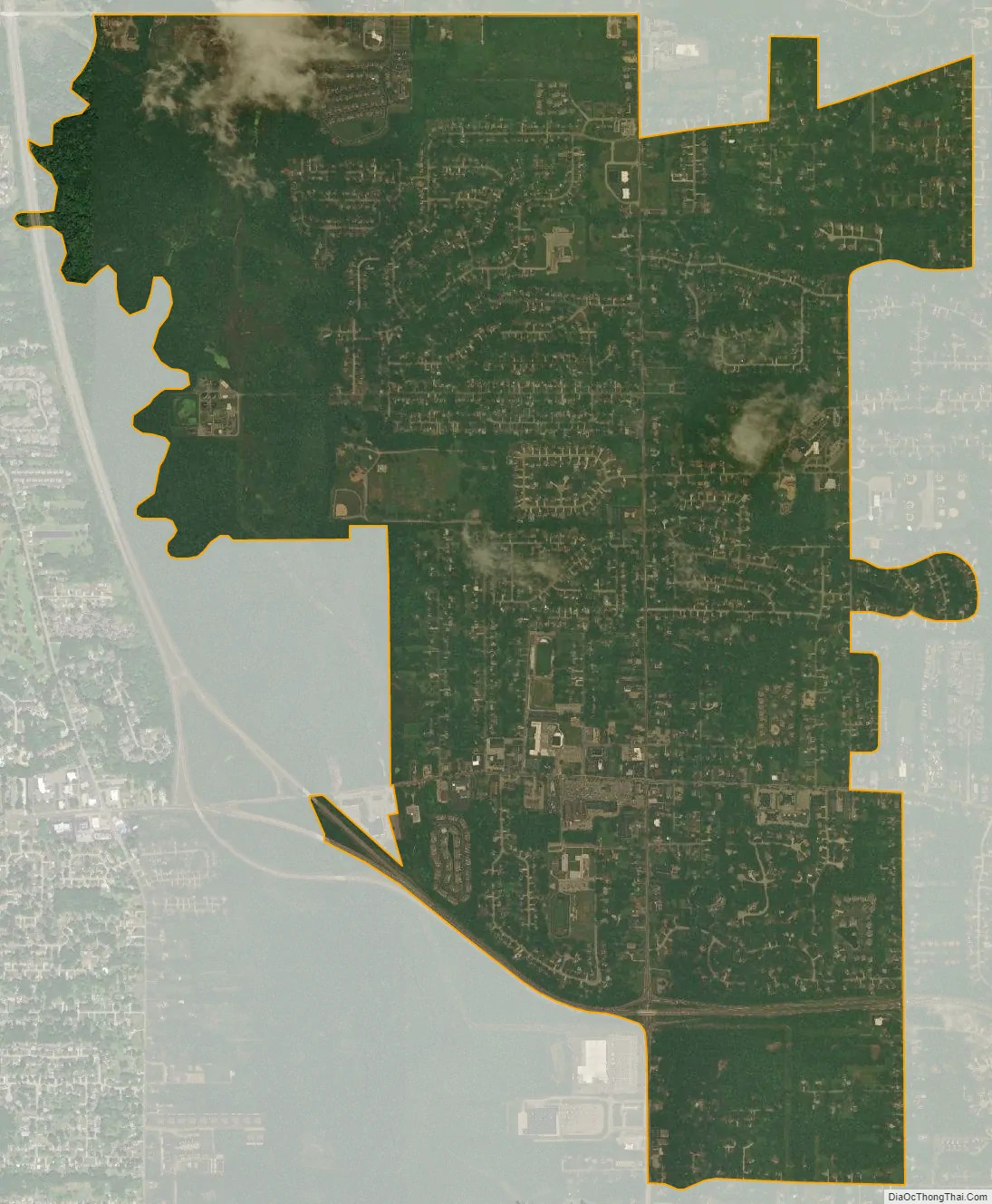
Howland Center city Satellite Map
Geography
Howland Center is located at 41°14′43″N 80°44′36″W / 41.24528°N 80.74333°W / 41.24528; -80.74333 (41.245206, -80.743315).
According to the United States Census Bureau, the CDP has a total area of 4.0 square miles (10.5 km), all land.
See also
Map of Ohio State and its subdivision:- Adams
- Allen
- Ashland
- Ashtabula
- Athens
- Auglaize
- Belmont
- Brown
- Butler
- Carroll
- Champaign
- Clark
- Clermont
- Clinton
- Columbiana
- Coshocton
- Crawford
- Cuyahoga
- Darke
- Defiance
- Delaware
- Erie
- Fairfield
- Fayette
- Franklin
- Fulton
- Gallia
- Geauga
- Greene
- Guernsey
- Hamilton
- Hancock
- Hardin
- Harrison
- Henry
- Highland
- Hocking
- Holmes
- Huron
- Jackson
- Jefferson
- Knox
- Lake
- Lake Erie
- Lawrence
- Licking
- Logan
- Lorain
- Lucas
- Madison
- Mahoning
- Marion
- Medina
- Meigs
- Mercer
- Miami
- Monroe
- Montgomery
- Morgan
- Morrow
- Muskingum
- Noble
- Ottawa
- Paulding
- Perry
- Pickaway
- Pike
- Portage
- Preble
- Putnam
- Richland
- Ross
- Sandusky
- Scioto
- Seneca
- Shelby
- Stark
- Summit
- Trumbull
- Tuscarawas
- Union
- Van Wert
- Vinton
- Warren
- Washington
- Wayne
- Williams
- Wood
- Wyandot
- Alabama
- Alaska
- Arizona
- Arkansas
- California
- Colorado
- Connecticut
- Delaware
- District of Columbia
- Florida
- Georgia
- Hawaii
- Idaho
- Illinois
- Indiana
- Iowa
- Kansas
- Kentucky
- Louisiana
- Maine
- Maryland
- Massachusetts
- Michigan
- Minnesota
- Mississippi
- Missouri
- Montana
- Nebraska
- Nevada
- New Hampshire
- New Jersey
- New Mexico
- New York
- North Carolina
- North Dakota
- Ohio
- Oklahoma
- Oregon
- Pennsylvania
- Rhode Island
- South Carolina
- South Dakota
- Tennessee
- Texas
- Utah
- Vermont
- Virginia
- Washington
- West Virginia
- Wisconsin
- Wyoming