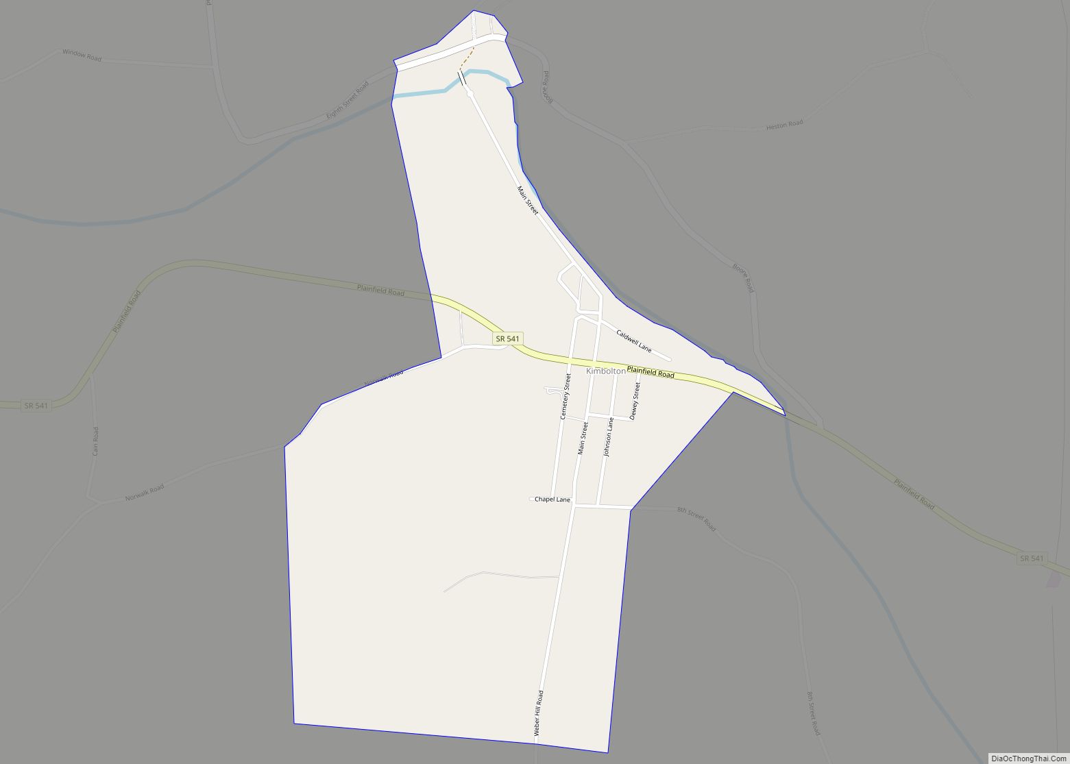
Kimbolton is an unincorporated community and census-designated place in Guernsey County, Ohio, United States, along Wills Creek. The population was 144 at the 2010 census, down from 190 at the 2000 census, at which time it was a village.
| Name: | Kimbolton CDP |
|---|---|
| LSAD Code: | 57 |
| LSAD Description: | CDP (suffix) |
| State: | Ohio |
| County: | Guernsey County |
| Elevation: | 801 ft (244 m) |
| Total Area: | 0.50 sq mi (1.29 km²) |
| Land Area: | 0.50 sq mi (1.29 km²) |
| Water Area: | 0.00 sq mi (0.00 km²) |
| Total Population: | 152 |
| Population Density: | 305.22/sq mi (117.93/km²) |
| ZIP code: | 43749 |
| Area code: | 740 |
| FIPS code: | 3940264 |
| GNISfeature ID: | 1064937 |
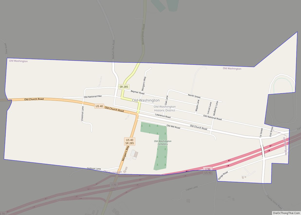
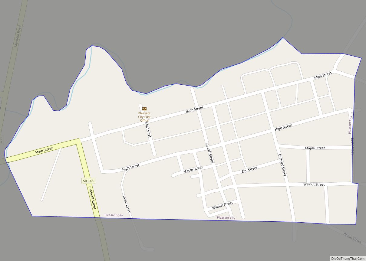
Online Interactive Map
Click on ![]() to view map in "full screen" mode.
to view map in "full screen" mode.
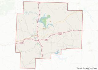
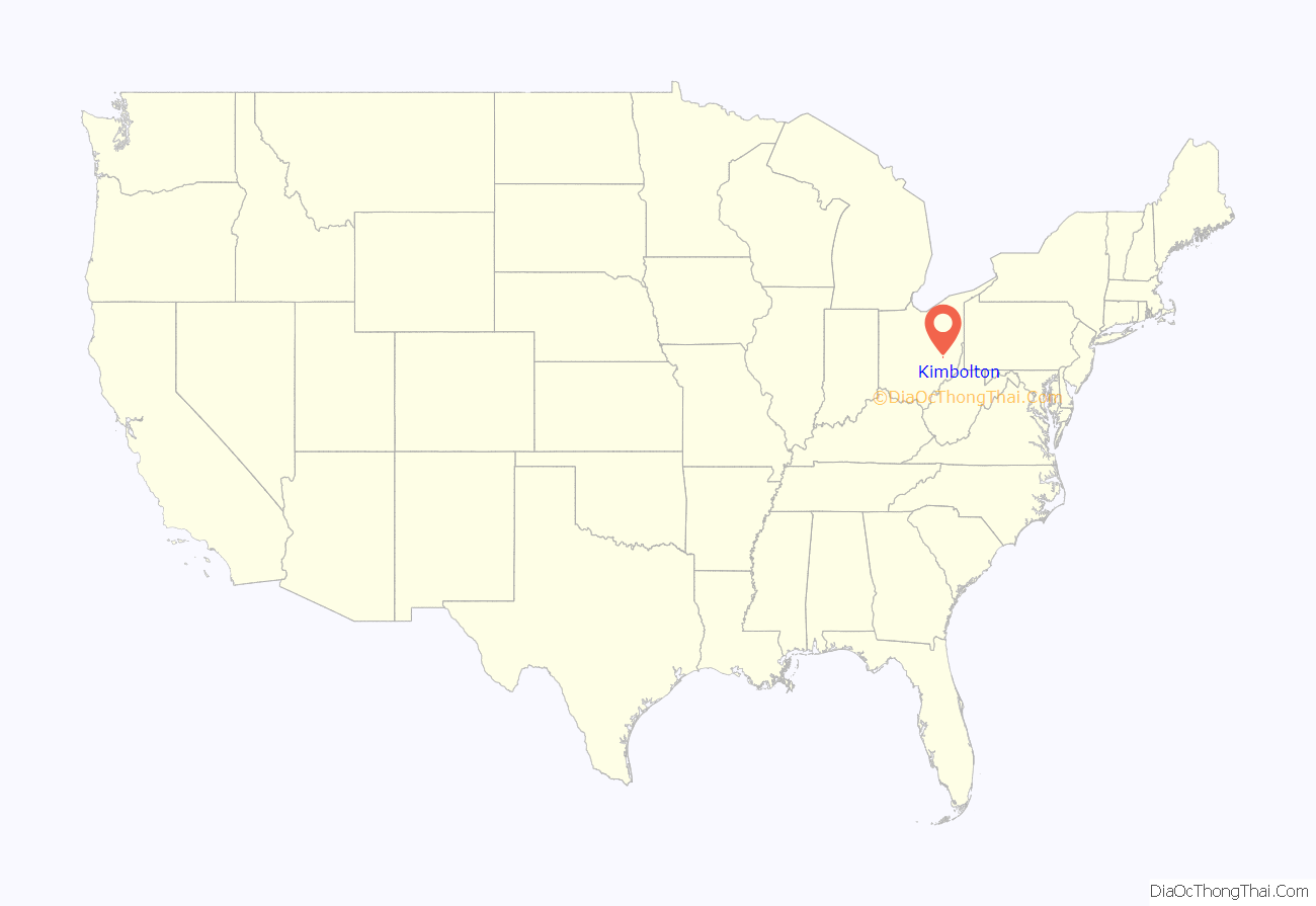
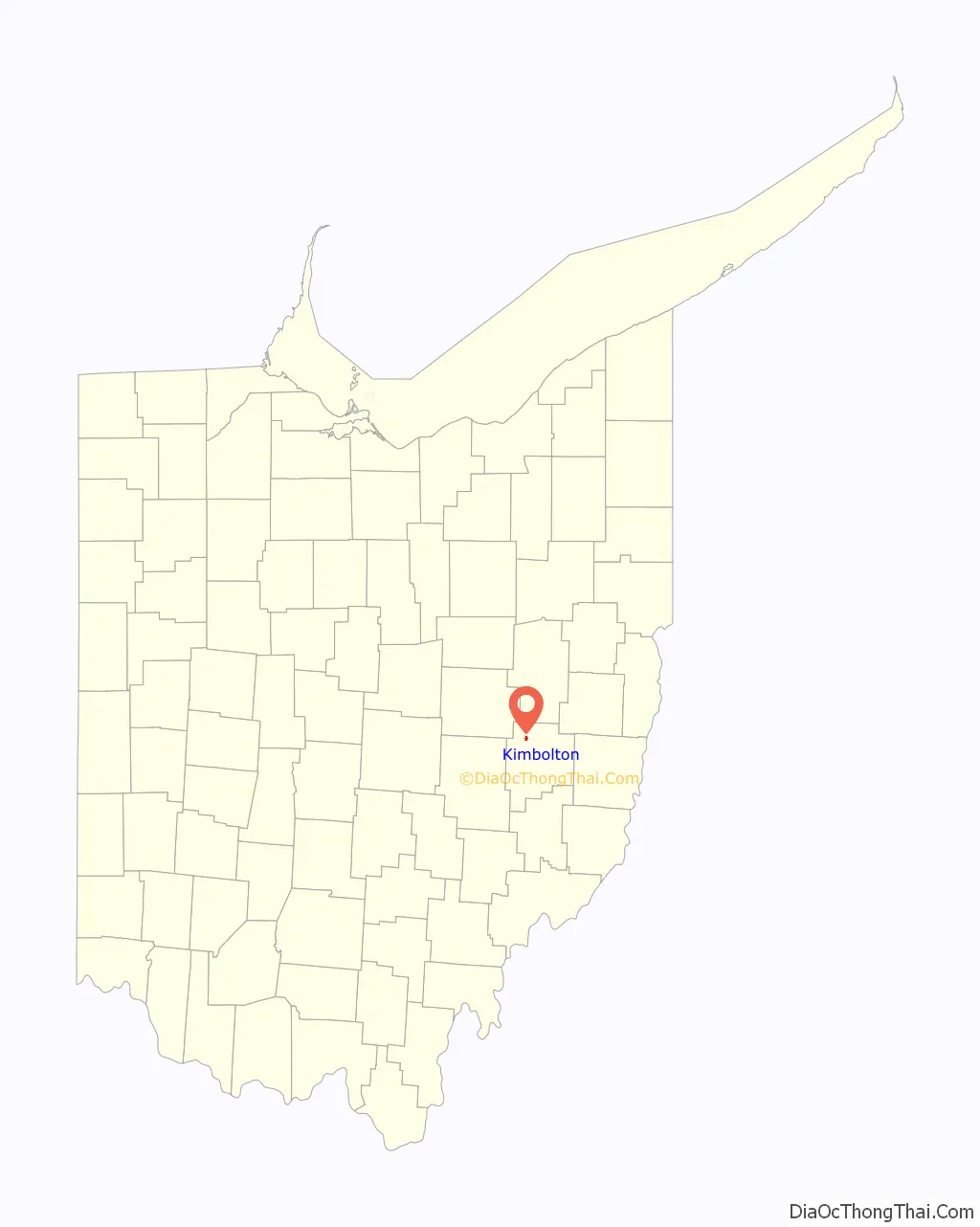
Kimbolton location map. Where is Kimbolton CDP?
History
Kimbolton was originally called “Liberty”, and under the latter name was platted in 1828. John Gibson, born 1795, was the first gentleman to lay out the city of Liberty on land given to him by his father.
A post office called Kimbolton has been in operation since 1837. The village was incorporated as Kimbolton in 1884. The present name is derived from Kimbolton, England, the native home of a local merchant.
In March 2004, the electorate voted to surrender the corporate powers of the Village of Kimbolton to the trustees of Liberty Township. The village was officially dissolved on April 30, 2005.
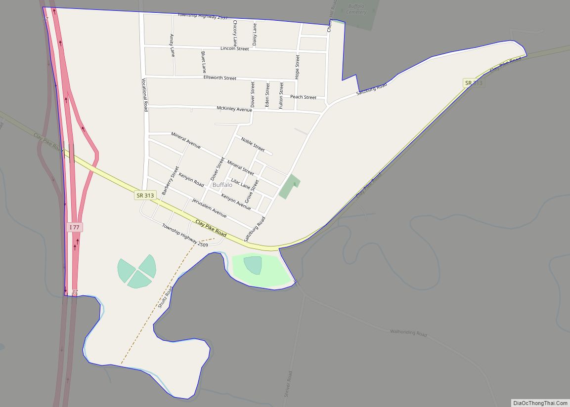
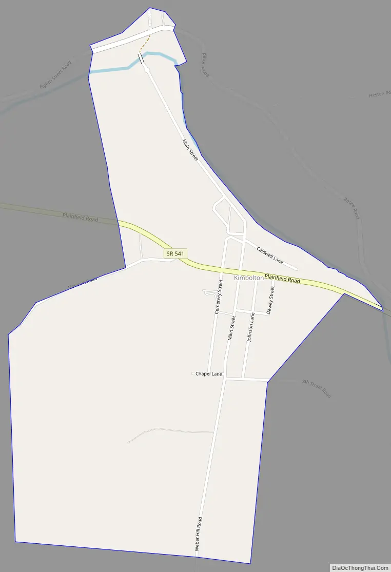
Kimbolton Road Map
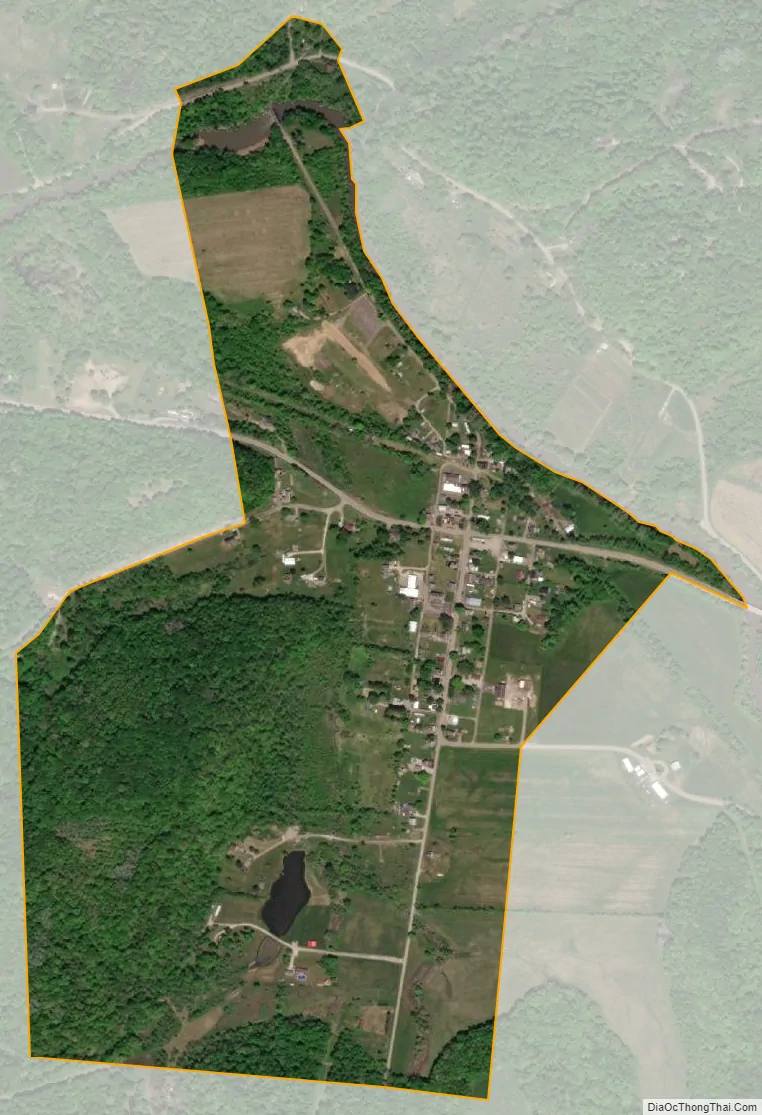
Kimbolton city Satellite Map
Geography
Kimbolton is located in northern Guernsey County at 40°9′18″N 81°34′24″W / 40.15500°N 81.57333°W / 40.15500; -81.57333 (40.155035, -81.573393), in the northern part of Liberty Township. It is on Ohio State Route 541, 1 mile (1.6 km) west of Interstate 77, which leads south 9 miles (14 km) to Cambridge, the Guernsey County seat, and north 28 miles (45 km) to New Philadelphia.
According to the United States Census Bureau, the Kimbolton CDP has an area of 0.50 square miles (1.3 km), all land.
See also
Map of Ohio State and its subdivision:- Adams
- Allen
- Ashland
- Ashtabula
- Athens
- Auglaize
- Belmont
- Brown
- Butler
- Carroll
- Champaign
- Clark
- Clermont
- Clinton
- Columbiana
- Coshocton
- Crawford
- Cuyahoga
- Darke
- Defiance
- Delaware
- Erie
- Fairfield
- Fayette
- Franklin
- Fulton
- Gallia
- Geauga
- Greene
- Guernsey
- Hamilton
- Hancock
- Hardin
- Harrison
- Henry
- Highland
- Hocking
- Holmes
- Huron
- Jackson
- Jefferson
- Knox
- Lake
- Lake Erie
- Lawrence
- Licking
- Logan
- Lorain
- Lucas
- Madison
- Mahoning
- Marion
- Medina
- Meigs
- Mercer
- Miami
- Monroe
- Montgomery
- Morgan
- Morrow
- Muskingum
- Noble
- Ottawa
- Paulding
- Perry
- Pickaway
- Pike
- Portage
- Preble
- Putnam
- Richland
- Ross
- Sandusky
- Scioto
- Seneca
- Shelby
- Stark
- Summit
- Trumbull
- Tuscarawas
- Union
- Van Wert
- Vinton
- Warren
- Washington
- Wayne
- Williams
- Wood
- Wyandot
- Alabama
- Alaska
- Arizona
- Arkansas
- California
- Colorado
- Connecticut
- Delaware
- District of Columbia
- Florida
- Georgia
- Hawaii
- Idaho
- Illinois
- Indiana
- Iowa
- Kansas
- Kentucky
- Louisiana
- Maine
- Maryland
- Massachusetts
- Michigan
- Minnesota
- Mississippi
- Missouri
- Montana
- Nebraska
- Nevada
- New Hampshire
- New Jersey
- New Mexico
- New York
- North Carolina
- North Dakota
- Ohio
- Oklahoma
- Oregon
- Pennsylvania
- Rhode Island
- South Carolina
- South Dakota
- Tennessee
- Texas
- Utah
- Vermont
- Virginia
- Washington
- West Virginia
- Wisconsin
- Wyoming