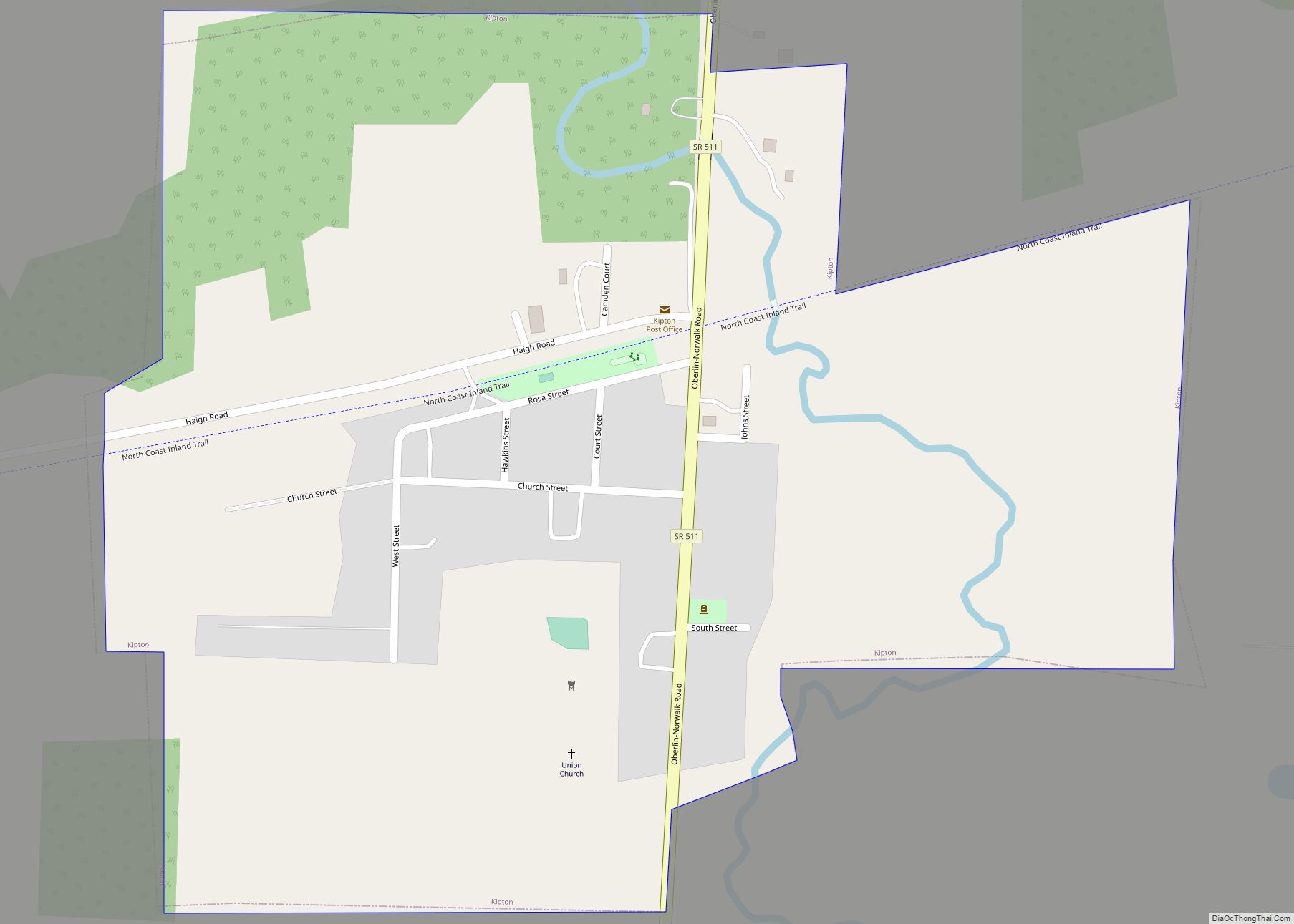
Kipton is a village in Lorain County, Ohio, United States. The population was 243 at the 2010 census.
| Name: | Kipton village |
|---|---|
| LSAD Code: | 47 |
| LSAD Description: | village (suffix) |
| State: | Ohio |
| County: | Lorain County |
| Elevation: | 850 ft (259 m) |
| Total Area: | 0.45 sq mi (1.15 km²) |
| Land Area: | 0.44 sq mi (1.14 km²) |
| Water Area: | 0.01 sq mi (0.01 km²) |
| Total Population: | 209 |
| Population Density: | 475.00/sq mi (183.22/km²) |
| ZIP code: | 44049 |
| Area code: | 440 |
| FIPS code: | 3940544 |
| GNISfeature ID: | 1064946 |
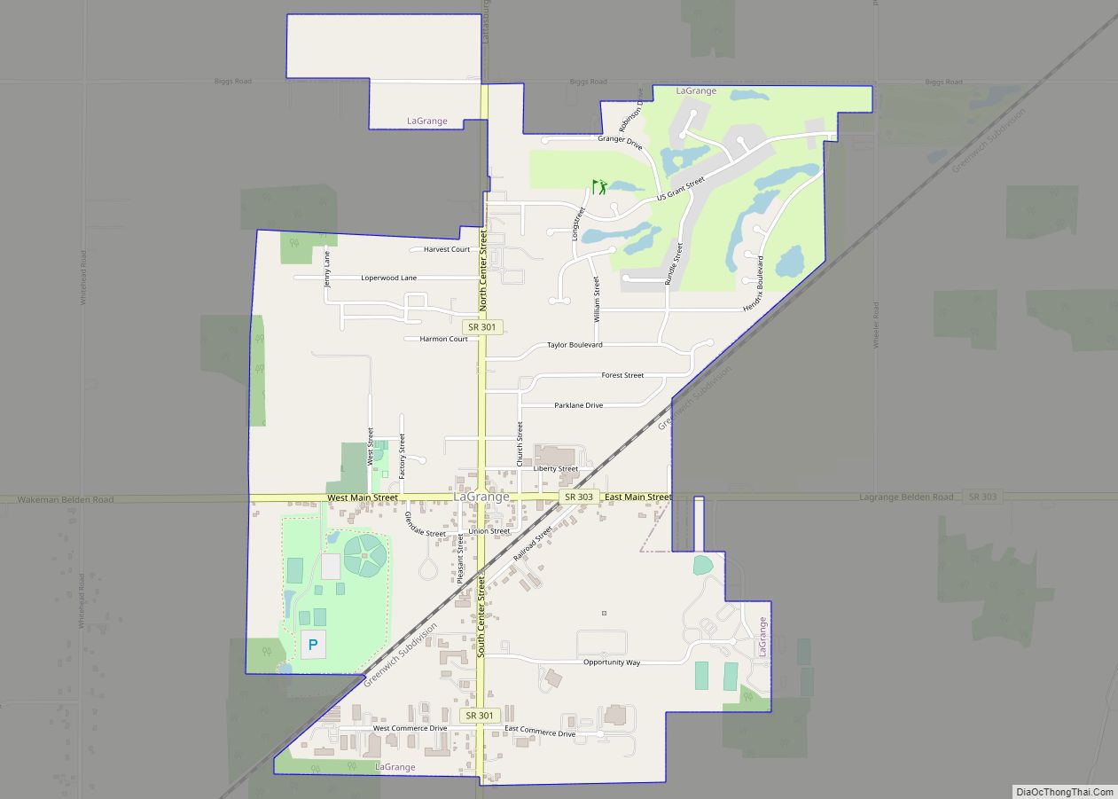
Online Interactive Map
Click on ![]() to view map in "full screen" mode.
to view map in "full screen" mode.
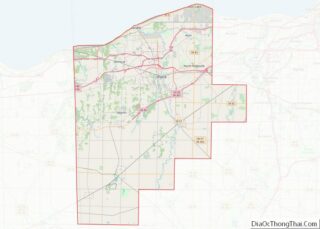
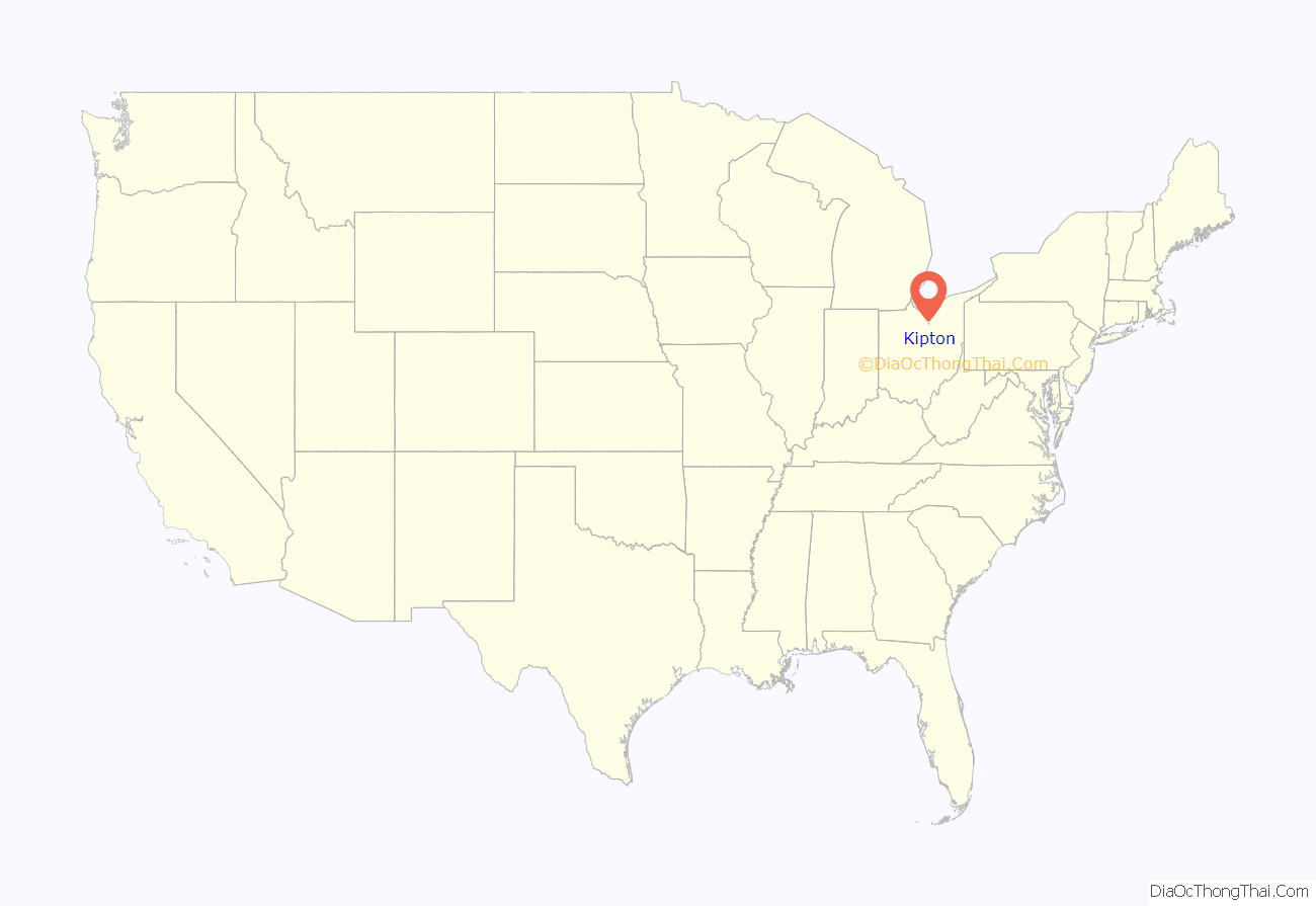
Kipton location map. Where is Kipton village?
History
Kipton was platted around 1852 by Wm.W.Whitney in anticipation of a new railroad route being laid out through his farm. He initially named his new village “Binghamton”, in honor of his former home of Binghamton, NY. However, the name “Camden Station” would instead be used until 1862, when its name was changed to “Kipton Station” (and later becoming known simply as ‘Kipton’).
For many years, Kipton continued as a stop along the Southern Division of the Lake Shore and Michigan Southern Railroad; however, the line was abandoned and pulled up in 1976. This former railroad route is now a part of a rail trail, the North Coast Inland Trail.
Kipton was the site of a famous train wreck on April 18, 1891, which was caused by railroad engineers’ watches not being in sync; and led to the adoption of stringent quality-control standards for railroad chronometers in 1893. An Ohio Historical marker in Kipton Community Park notes the details of the collision.
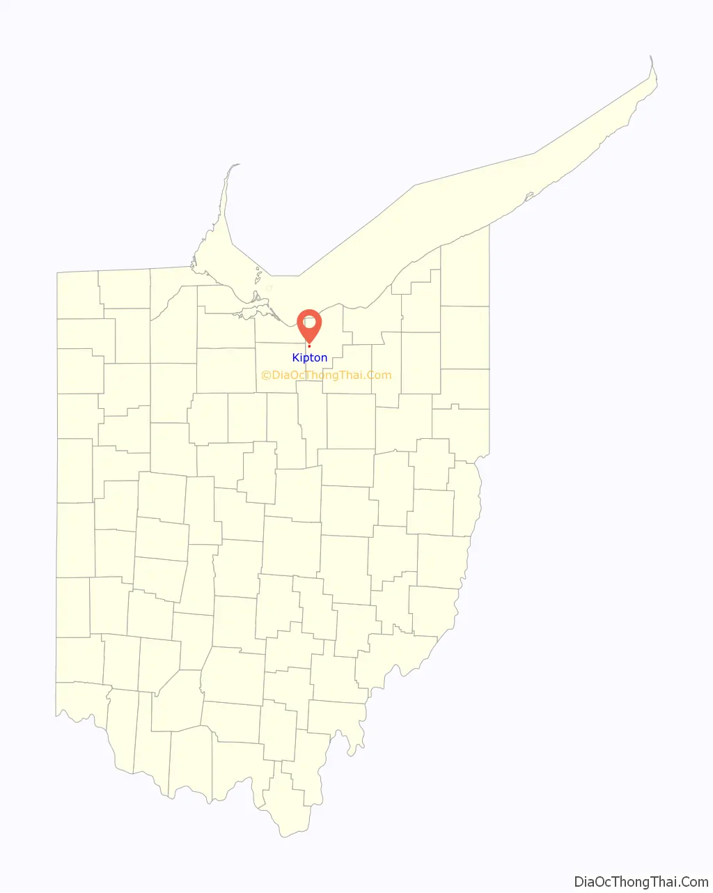
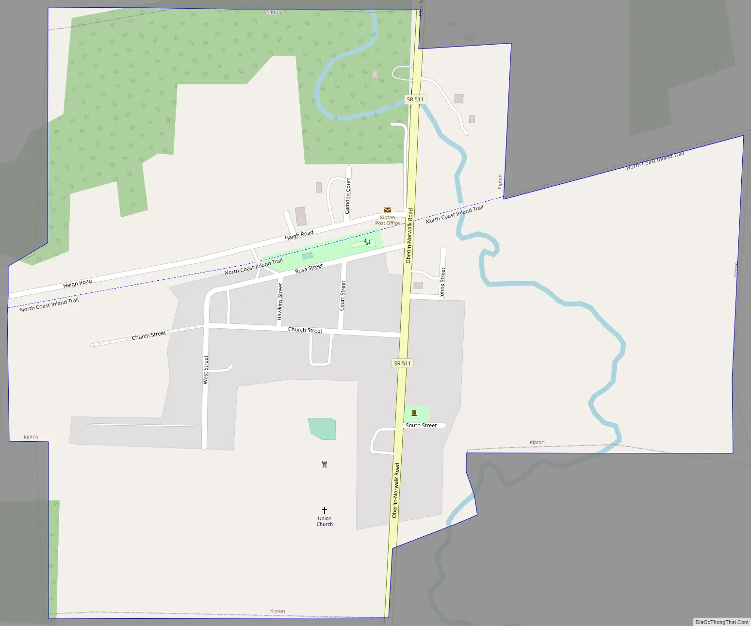
Kipton Road Map
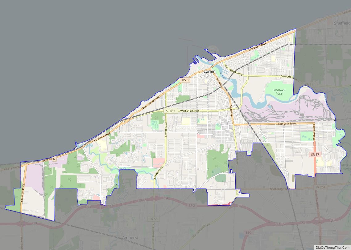
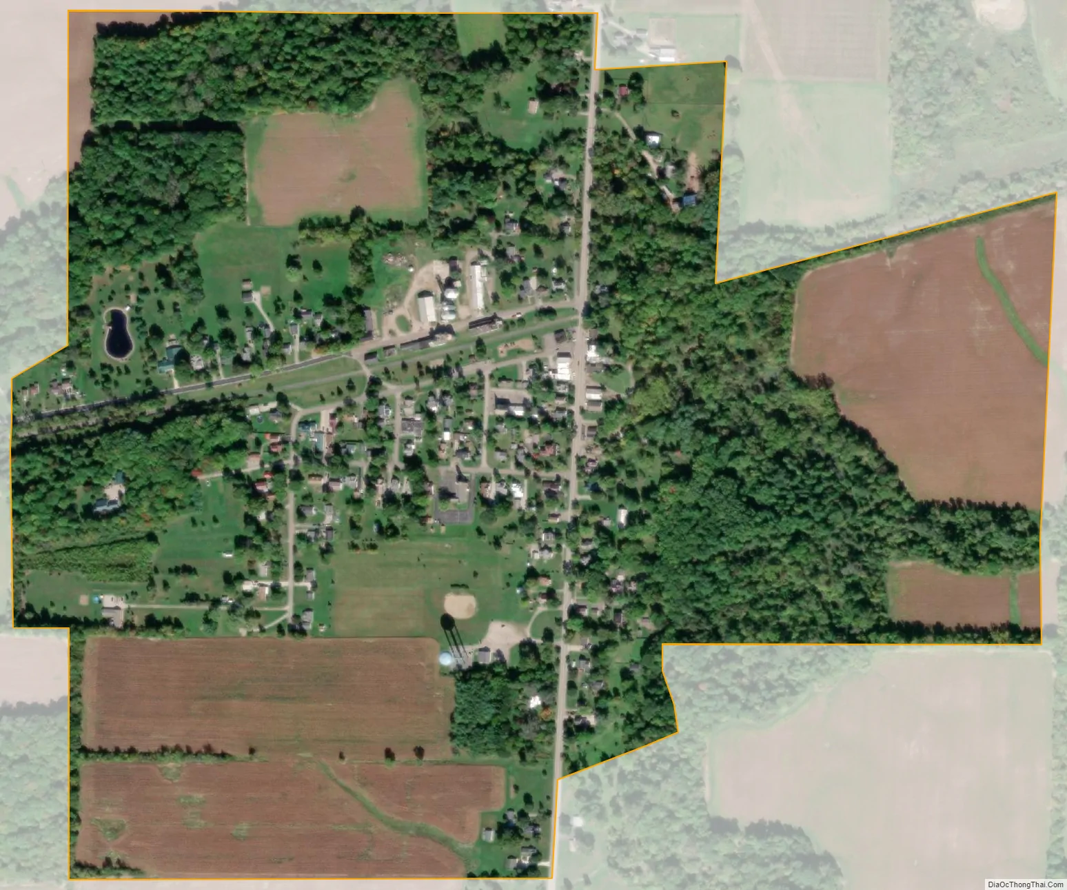
Kipton city Satellite Map
Geography
Kipton is located at 41°16′2″N 82°18′12″W / 41.26722°N 82.30333°W / 41.26722; -82.30333 (41.267101, -82.303337).
According to the United States Census Bureau, the village has a total area of 0.45 square miles (1.17 km), of which 0.44 square miles (1.14 km) is land and 0.01 square miles (0.03 km) is water.
See also
Map of Ohio State and its subdivision:- Adams
- Allen
- Ashland
- Ashtabula
- Athens
- Auglaize
- Belmont
- Brown
- Butler
- Carroll
- Champaign
- Clark
- Clermont
- Clinton
- Columbiana
- Coshocton
- Crawford
- Cuyahoga
- Darke
- Defiance
- Delaware
- Erie
- Fairfield
- Fayette
- Franklin
- Fulton
- Gallia
- Geauga
- Greene
- Guernsey
- Hamilton
- Hancock
- Hardin
- Harrison
- Henry
- Highland
- Hocking
- Holmes
- Huron
- Jackson
- Jefferson
- Knox
- Lake
- Lake Erie
- Lawrence
- Licking
- Logan
- Lorain
- Lucas
- Madison
- Mahoning
- Marion
- Medina
- Meigs
- Mercer
- Miami
- Monroe
- Montgomery
- Morgan
- Morrow
- Muskingum
- Noble
- Ottawa
- Paulding
- Perry
- Pickaway
- Pike
- Portage
- Preble
- Putnam
- Richland
- Ross
- Sandusky
- Scioto
- Seneca
- Shelby
- Stark
- Summit
- Trumbull
- Tuscarawas
- Union
- Van Wert
- Vinton
- Warren
- Washington
- Wayne
- Williams
- Wood
- Wyandot
- Alabama
- Alaska
- Arizona
- Arkansas
- California
- Colorado
- Connecticut
- Delaware
- District of Columbia
- Florida
- Georgia
- Hawaii
- Idaho
- Illinois
- Indiana
- Iowa
- Kansas
- Kentucky
- Louisiana
- Maine
- Maryland
- Massachusetts
- Michigan
- Minnesota
- Mississippi
- Missouri
- Montana
- Nebraska
- Nevada
- New Hampshire
- New Jersey
- New Mexico
- New York
- North Carolina
- North Dakota
- Ohio
- Oklahoma
- Oregon
- Pennsylvania
- Rhode Island
- South Carolina
- South Dakota
- Tennessee
- Texas
- Utah
- Vermont
- Virginia
- Washington
- West Virginia
- Wisconsin
- Wyoming