LaGrange is a village in Lorain County, Ohio, United States. The population was 2,103 at the 2010 census.
The village derives its name from Château de la Grange-Bléneau, the French home of Gilbert du Motier, Marquis de Lafayette, an officer in the American Revolutionary War.
| Name: | LaGrange village |
|---|---|
| LSAD Code: | 47 |
| LSAD Description: | village (suffix) |
| State: | Ohio |
| County: | Lorain County |
| Elevation: | 820 ft (250 m) |
| Total Area: | 1.91 sq mi (4.93 km²) |
| Land Area: | 1.90 sq mi (4.92 km²) |
| Water Area: | 0.00 sq mi (0.01 km²) |
| Total Population: | 2,595 |
| Population Density: | 1,365.07/sq mi (527.07/km²) |
| ZIP code: | 44050 |
| Area code: | 440 |
| FIPS code: | 3941230 |
| GNISfeature ID: | 1064961 |
| Website: | lagrangeohio.net |
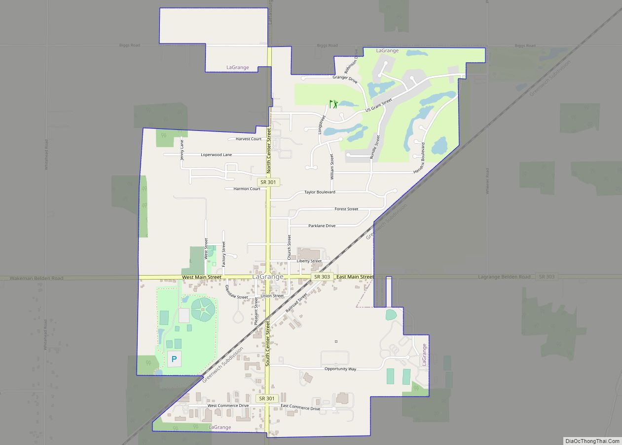
Online Interactive Map
Click on ![]() to view map in "full screen" mode.
to view map in "full screen" mode.
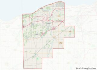
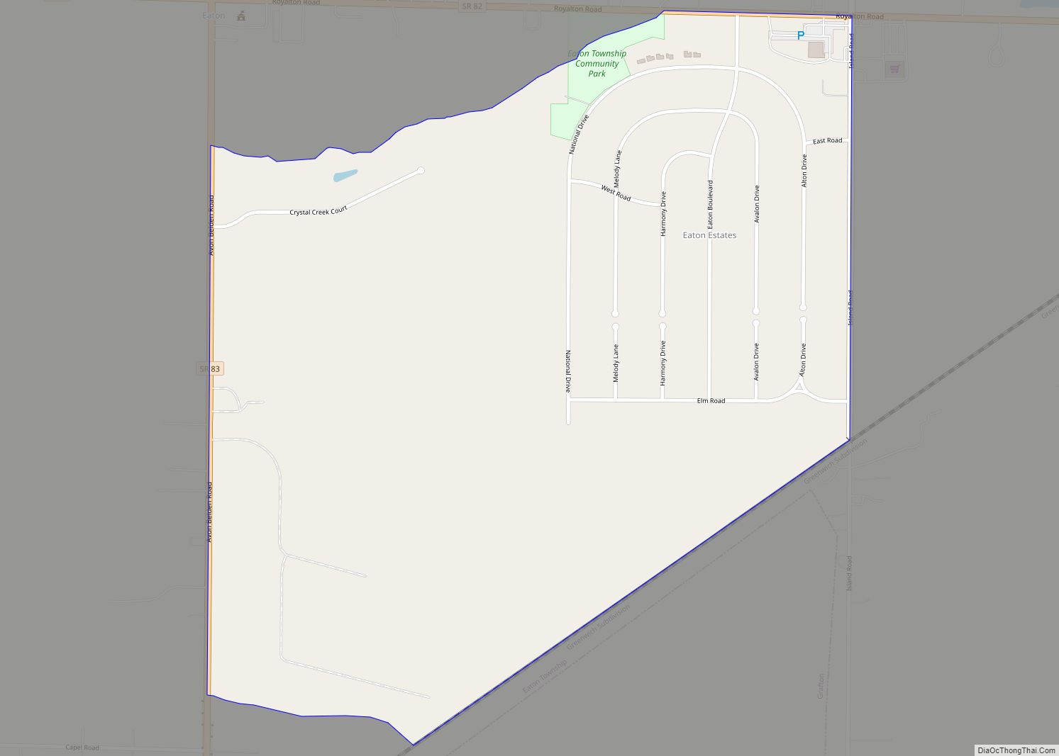
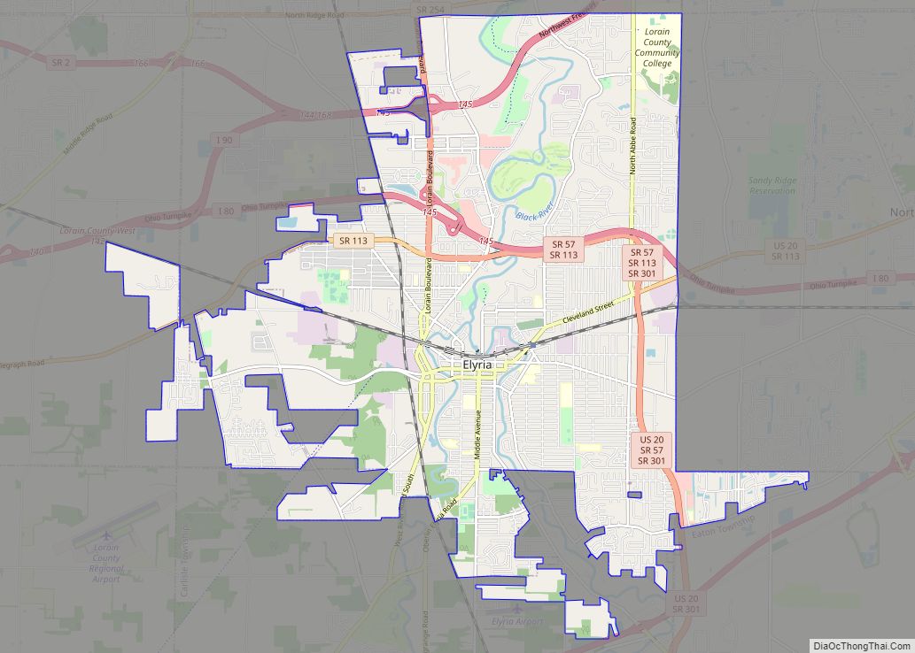
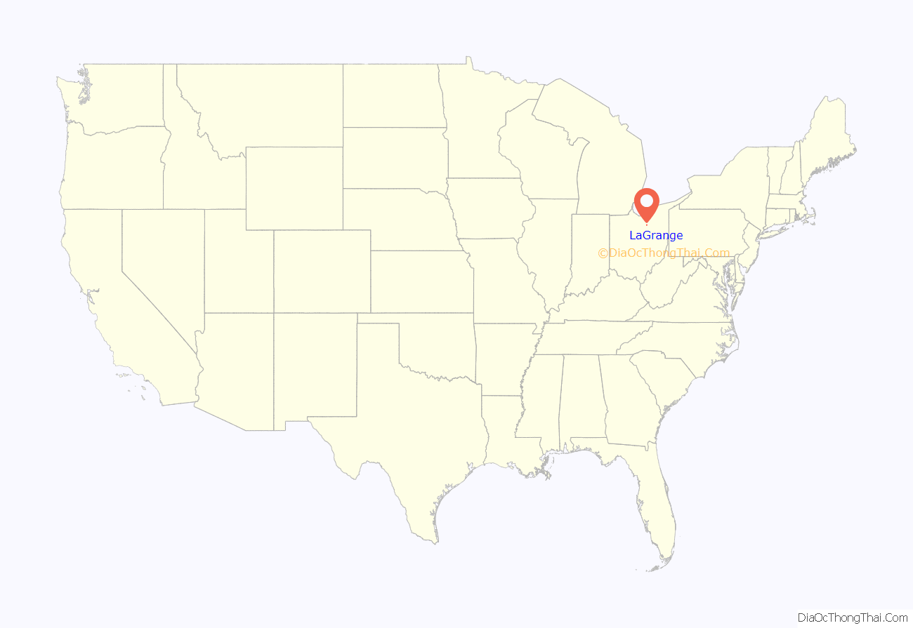
LaGrange location map. Where is LaGrange village?
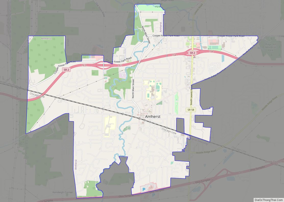
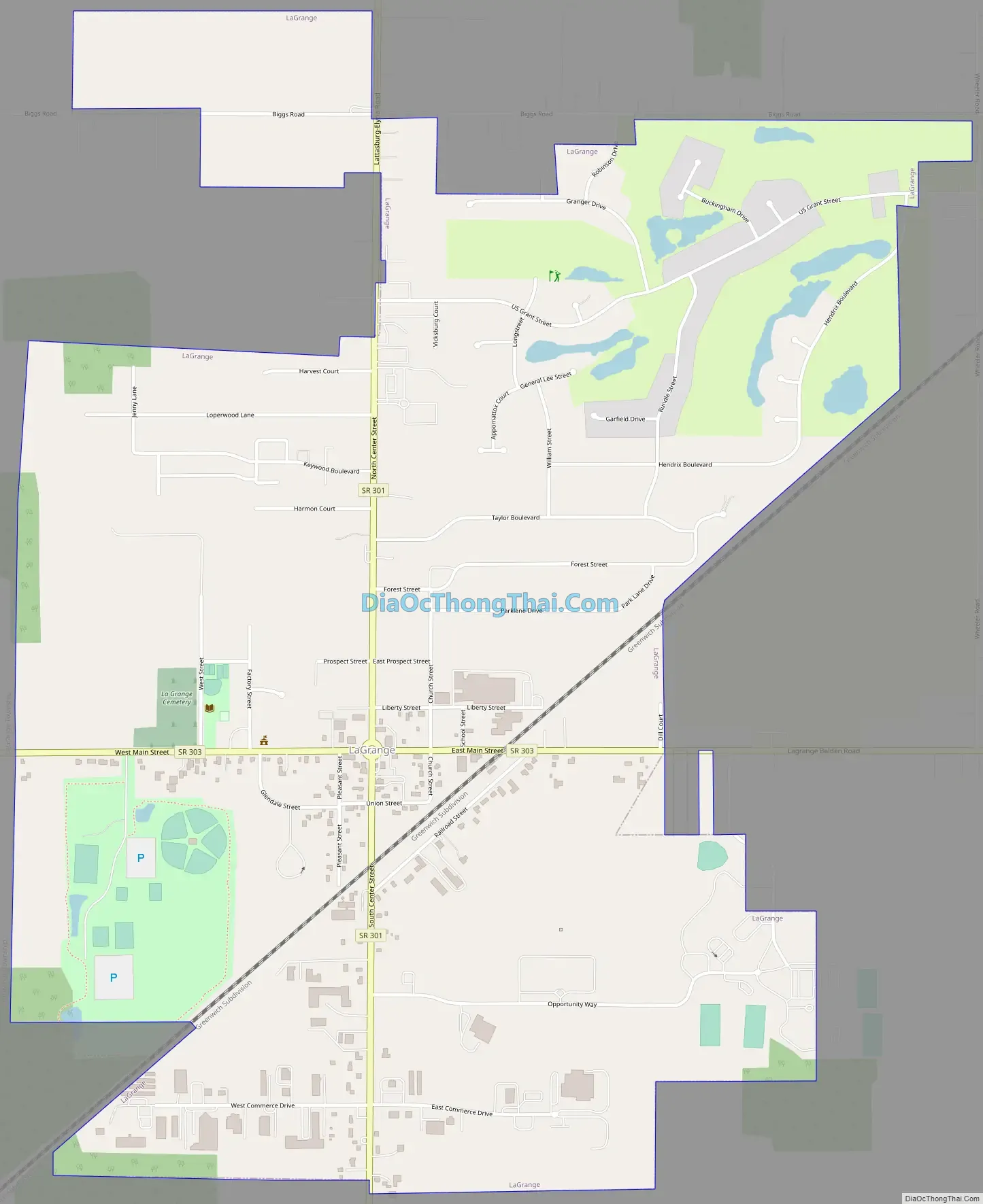
LaGrange Road Map
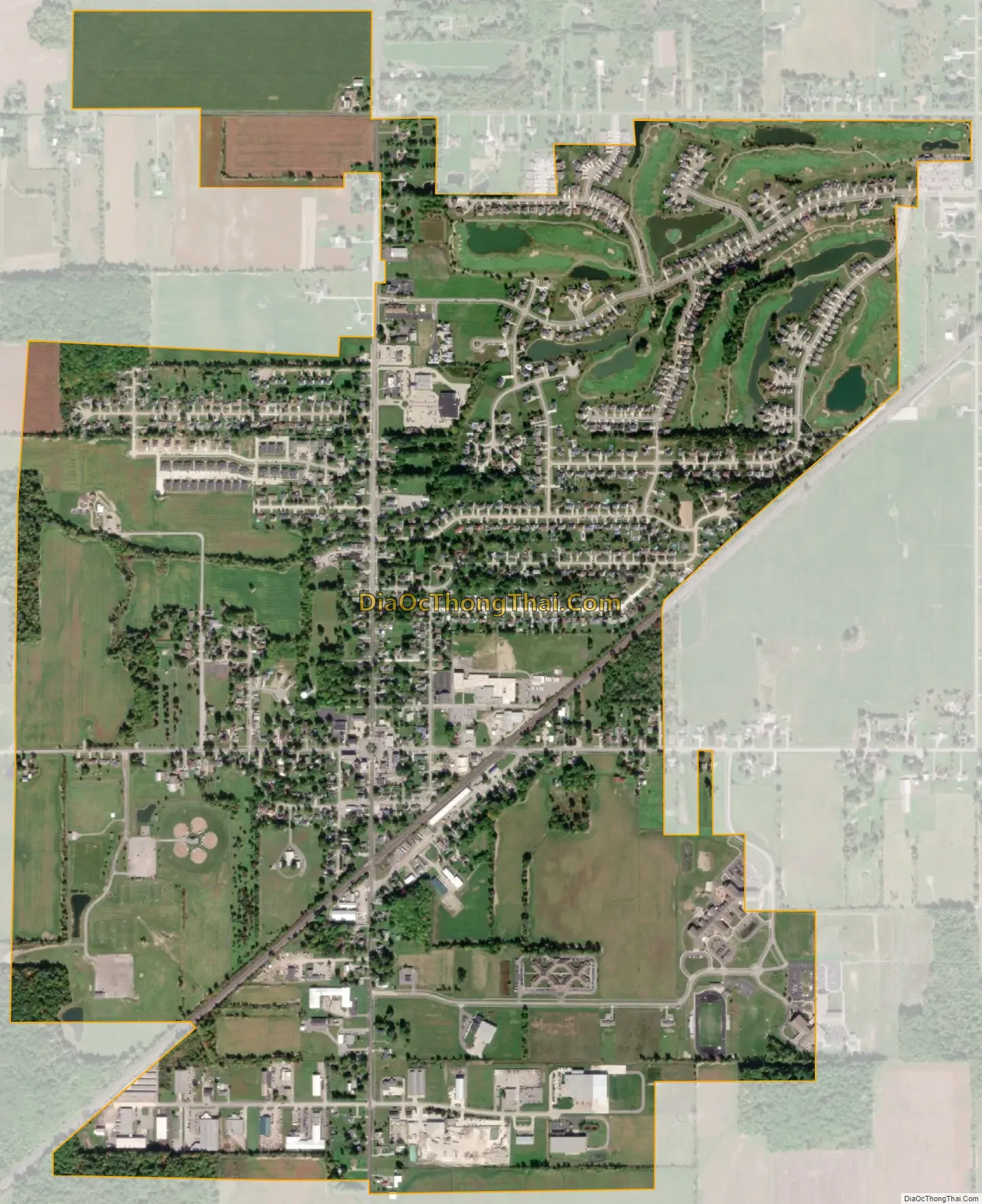
LaGrange city Satellite Map
Geography
LaGrange is located at 41°14′20″N 82°7′13″W / 41.23889°N 82.12028°W / 41.23889; -82.12028 (41.238903, -82.120371).
According to the United States Census Bureau, the village has a total area of 2.01 square miles (5.21 km), all land.
See also
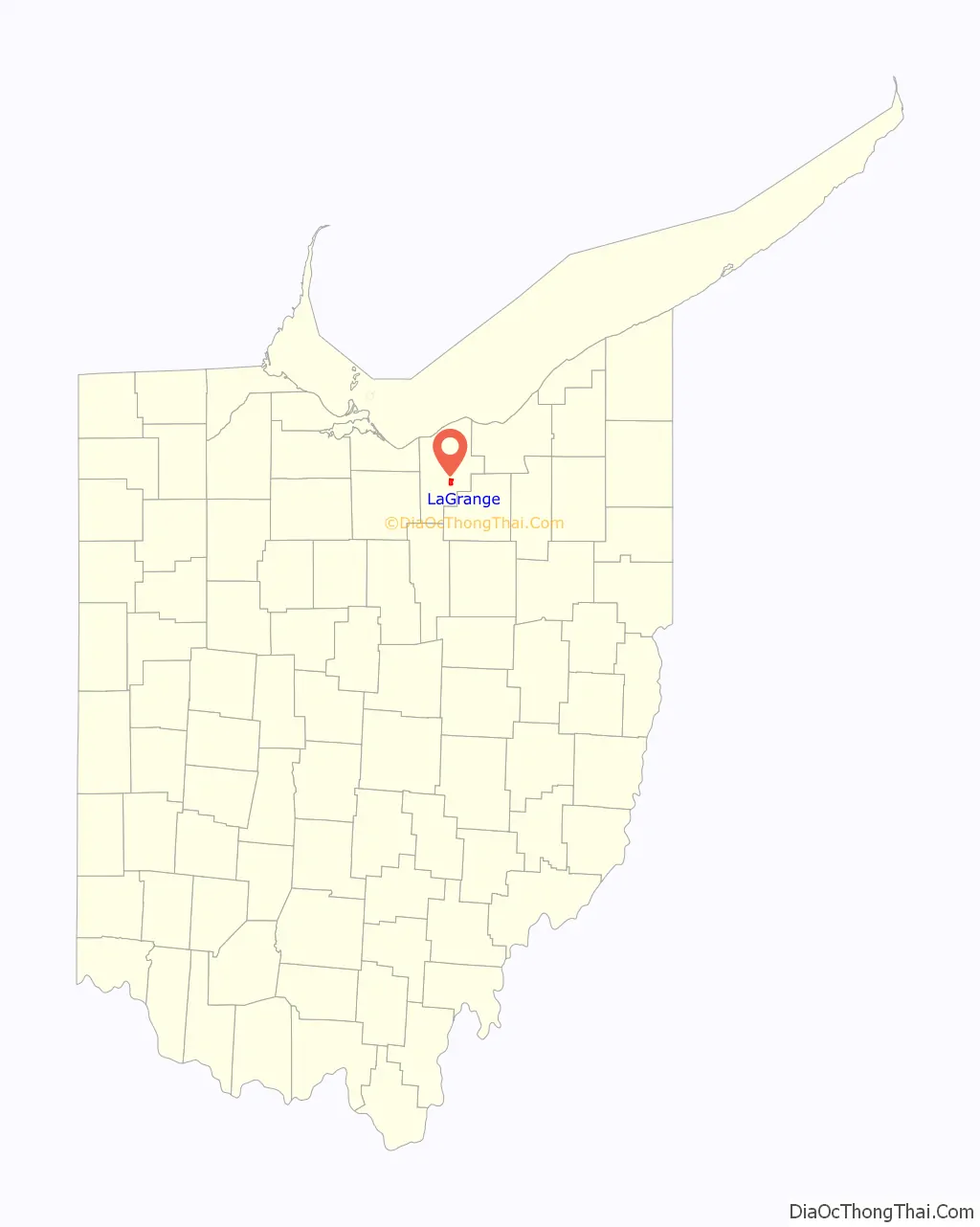
Map of Ohio State and its subdivision:- Adams
- Allen
- Ashland
- Ashtabula
- Athens
- Auglaize
- Belmont
- Brown
- Butler
- Carroll
- Champaign
- Clark
- Clermont
- Clinton
- Columbiana
- Coshocton
- Crawford
- Cuyahoga
- Darke
- Defiance
- Delaware
- Erie
- Fairfield
- Fayette
- Franklin
- Fulton
- Gallia
- Geauga
- Greene
- Guernsey
- Hamilton
- Hancock
- Hardin
- Harrison
- Henry
- Highland
- Hocking
- Holmes
- Huron
- Jackson
- Jefferson
- Knox
- Lake
- Lake Erie
- Lawrence
- Licking
- Logan
- Lorain
- Lucas
- Madison
- Mahoning
- Marion
- Medina
- Meigs
- Mercer
- Miami
- Monroe
- Montgomery
- Morgan
- Morrow
- Muskingum
- Noble
- Ottawa
- Paulding
- Perry
- Pickaway
- Pike
- Portage
- Preble
- Putnam
- Richland
- Ross
- Sandusky
- Scioto
- Seneca
- Shelby
- Stark
- Summit
- Trumbull
- Tuscarawas
- Union
- Van Wert
- Vinton
- Warren
- Washington
- Wayne
- Williams
- Wood
- Wyandot
- Alabama
- Alaska
- Arizona
- Arkansas
- California
- Colorado
- Connecticut
- Delaware
- District of Columbia
- Florida
- Georgia
- Hawaii
- Idaho
- Illinois
- Indiana
- Iowa
- Kansas
- Kentucky
- Louisiana
- Maine
- Maryland
- Massachusetts
- Michigan
- Minnesota
- Mississippi
- Missouri
- Montana
- Nebraska
- Nevada
- New Hampshire
- New Jersey
- New Mexico
- New York
- North Carolina
- North Dakota
- Ohio
- Oklahoma
- Oregon
- Pennsylvania
- Rhode Island
- South Carolina
- South Dakota
- Tennessee
- Texas
- Utah
- Vermont
- Virginia
- Washington
- West Virginia
- Wisconsin
- Wyoming