Leavittsburg is a census-designated place in Trumbull County, Ohio, United States. The population was 1,571 at the 2020 census. Located directly west of Warren, Ohio, it is part of the Youngstown–Warren metropolitan area.
| Name: | Leavittsburg CDP |
|---|---|
| LSAD Code: | 57 |
| LSAD Description: | CDP (suffix) |
| State: | Ohio |
| County: | Trumbull County |
| Elevation: | 909 ft (277 m) |
| Total Area: | 1.56 sq mi (4.03 km²) |
| Land Area: | 1.48 sq mi (3.84 km²) |
| Water Area: | 0.07 sq mi (0.19 km²) |
| Total Population: | 1,571 |
| Population Density: | 1,058.63/sq mi (408.86/km²) |
| ZIP code: | 44430 |
| Area code: | 234/330 |
| FIPS code: | 3942308 |
| GNISfeature ID: | 1064978 |
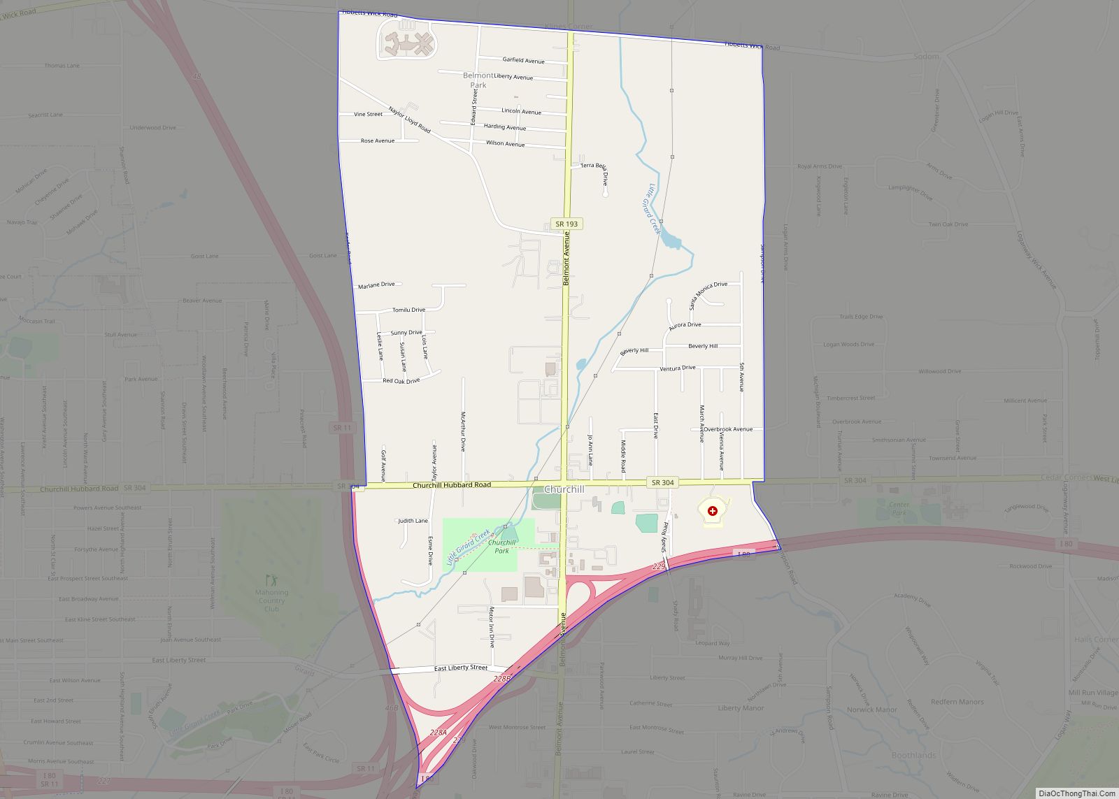
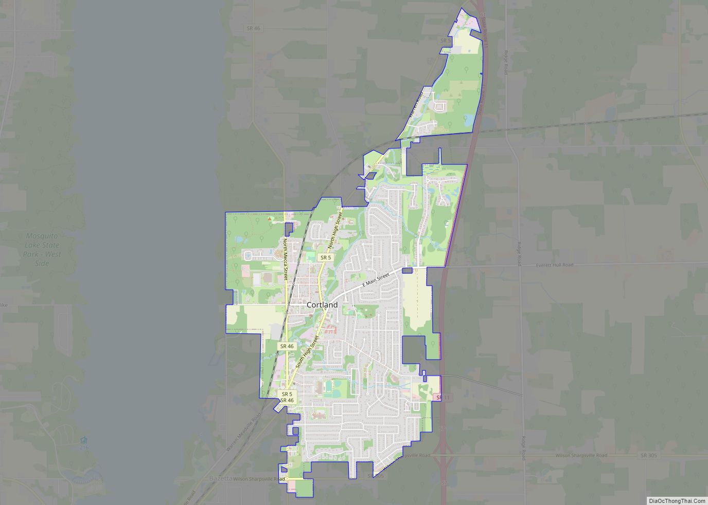
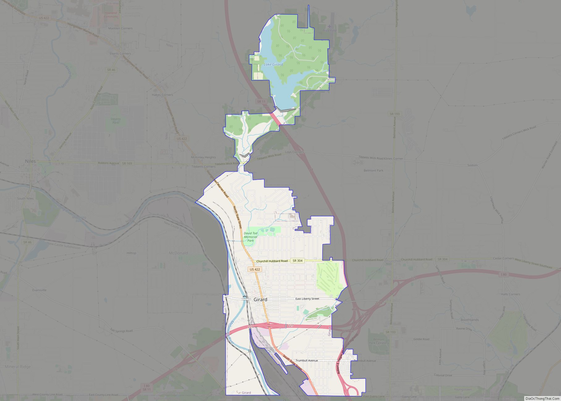
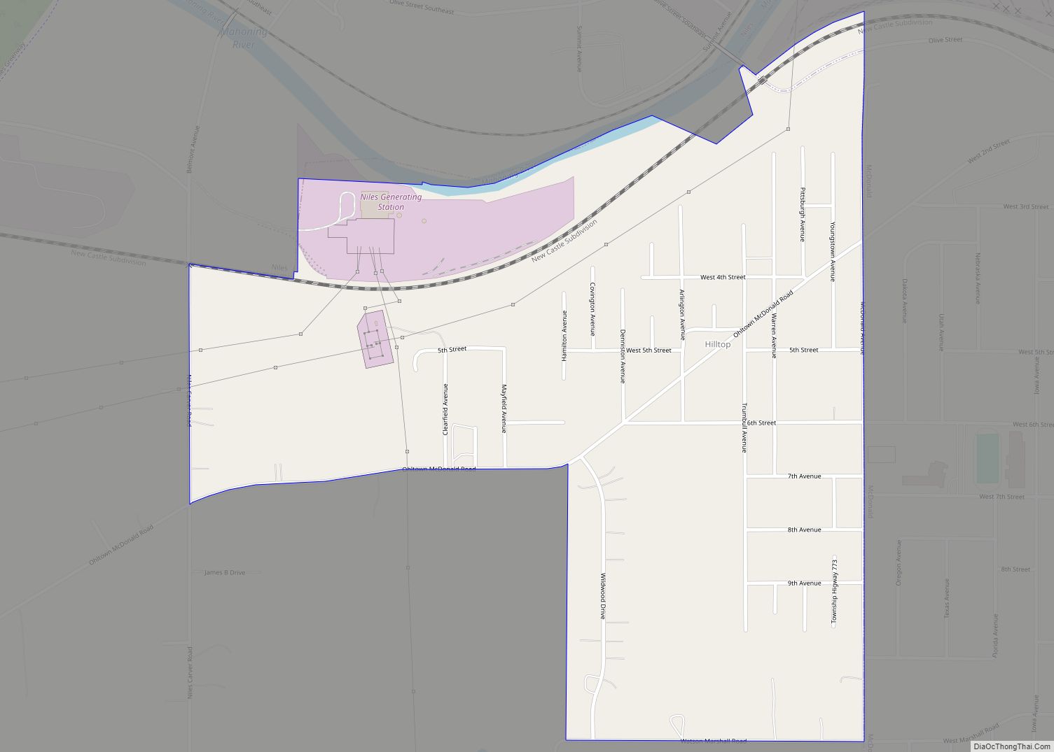
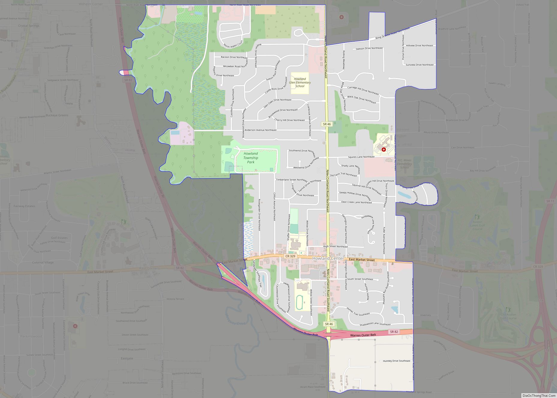
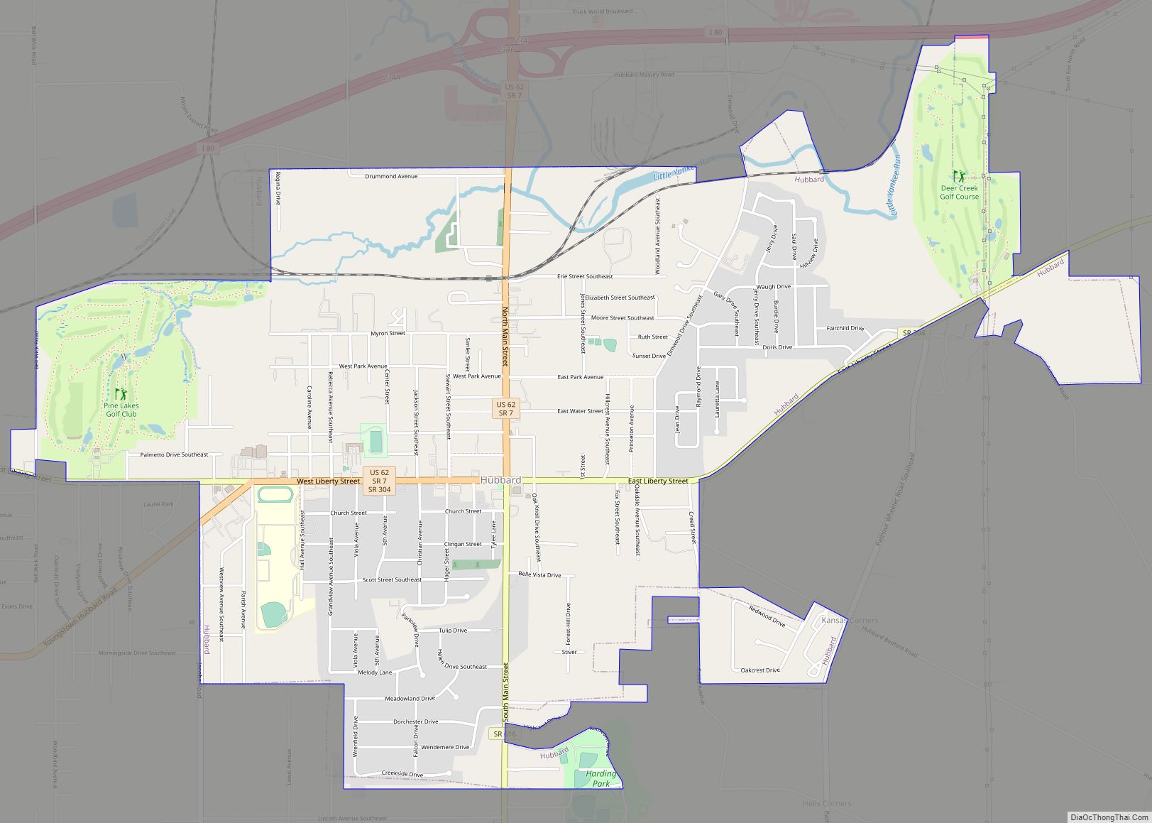
Online Interactive Map
Click on ![]() to view map in "full screen" mode.
to view map in "full screen" mode.
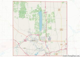
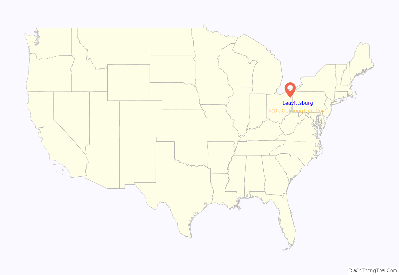
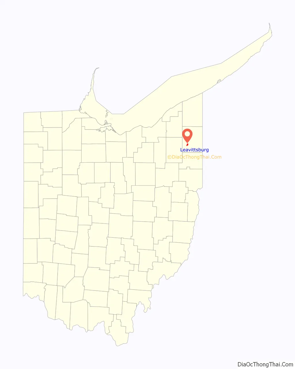
Leavittsburg location map. Where is Leavittsburg CDP?
History
Leavittsburg is named for the Leavitt family of Suffield, Connecticut, a prominent early mercantile New England family originally from Hingham, Massachusetts. Thaddeus Leavitt Esq. was one of the eight original purchasers of the Western Reserve lands from the state of Connecticut. (Leavitt and Suffield businessmen Oliver Phelps, Gideon Granger, Luther Loomis and Asahel Hatheway owned between them one-quarter of all the lands in the Western Reserve assigned to Connecticut.) Leavitt was married to Elizabeth King, the daughter of William King and Lucy (Hatheway), two prominent Suffield families. Leavitt had a fleet of ships that traded as far afield as the British West Indies and was a selectman for the town of Suffield. He was also the inventor of an early cotton gin.
Humphrey H. Leavitt, a U.S. congressman from Ohio born in Suffield, was a member of this family, as was John Leavitt, the owner of the first inn in Warren. Another member of the extended family was Henry Leavitt Ellsworth who traveled to Ohio in 1811 to investigate family lands in the region. (Ellsworth’s father Oliver Ellsworth had purchased over 41,000 acres (170 km) in the Western Reserve, including most of present-day Cleveland.) The resulting volume was entitled A Tour to New Connecticut in 1811, and was published later after the manuscript was discovered in the Yale University library. A young Yale graduate of 19 when he made his first trip to New Connecticut (Ohio), Ellsworth went on to make several more trips to the west. Author Washington Irving accompanied Ellsworth on a subsequent trip over 20 years later, calling his journal A Tour on the Prairies.
A post office with the name Leavittsburgh was established March 15, 1864; the spelling was amended to Leavittsburg with effect from July 19, 1893. Leavittsburg was designated as the market town of Trumbull County, but Warren supplanted Leavittsburg, which remains mostly woodland.
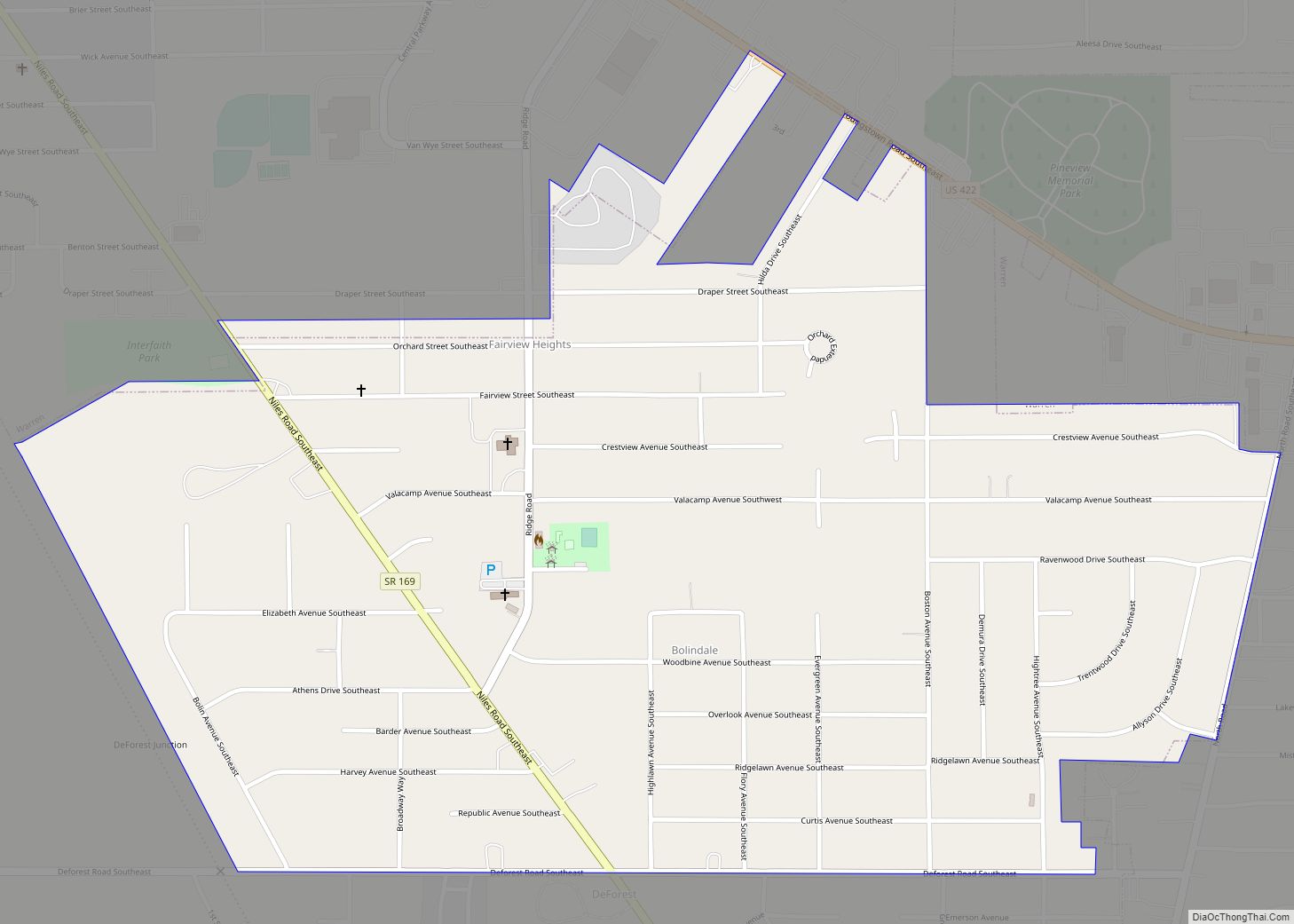
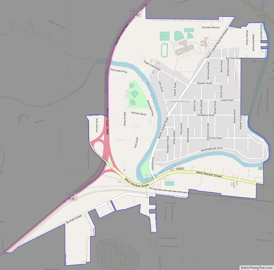
Leavittsburg Road Map
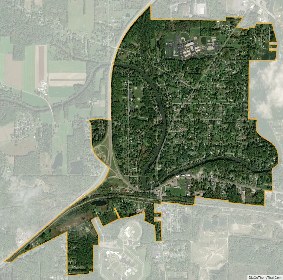
Leavittsburg city Satellite Map
Geography
Leavittsburg is located at 41°14′42″N 80°52′37″W / 41.24500°N 80.87694°W / 41.24500; -80.87694 (41.245024, -80.877070).
According to the United States Census Bureau, the CDP has a total area of 1.7 square miles (4.4 km), of which 1.7 square miles (4.4 km) is land and 0.1 square miles (0.26 km) (3.47%) is water.
See also
Map of Ohio State and its subdivision:- Adams
- Allen
- Ashland
- Ashtabula
- Athens
- Auglaize
- Belmont
- Brown
- Butler
- Carroll
- Champaign
- Clark
- Clermont
- Clinton
- Columbiana
- Coshocton
- Crawford
- Cuyahoga
- Darke
- Defiance
- Delaware
- Erie
- Fairfield
- Fayette
- Franklin
- Fulton
- Gallia
- Geauga
- Greene
- Guernsey
- Hamilton
- Hancock
- Hardin
- Harrison
- Henry
- Highland
- Hocking
- Holmes
- Huron
- Jackson
- Jefferson
- Knox
- Lake
- Lake Erie
- Lawrence
- Licking
- Logan
- Lorain
- Lucas
- Madison
- Mahoning
- Marion
- Medina
- Meigs
- Mercer
- Miami
- Monroe
- Montgomery
- Morgan
- Morrow
- Muskingum
- Noble
- Ottawa
- Paulding
- Perry
- Pickaway
- Pike
- Portage
- Preble
- Putnam
- Richland
- Ross
- Sandusky
- Scioto
- Seneca
- Shelby
- Stark
- Summit
- Trumbull
- Tuscarawas
- Union
- Van Wert
- Vinton
- Warren
- Washington
- Wayne
- Williams
- Wood
- Wyandot
- Alabama
- Alaska
- Arizona
- Arkansas
- California
- Colorado
- Connecticut
- Delaware
- District of Columbia
- Florida
- Georgia
- Hawaii
- Idaho
- Illinois
- Indiana
- Iowa
- Kansas
- Kentucky
- Louisiana
- Maine
- Maryland
- Massachusetts
- Michigan
- Minnesota
- Mississippi
- Missouri
- Montana
- Nebraska
- Nevada
- New Hampshire
- New Jersey
- New Mexico
- New York
- North Carolina
- North Dakota
- Ohio
- Oklahoma
- Oregon
- Pennsylvania
- Rhode Island
- South Carolina
- South Dakota
- Tennessee
- Texas
- Utah
- Vermont
- Virginia
- Washington
- West Virginia
- Wisconsin
- Wyoming