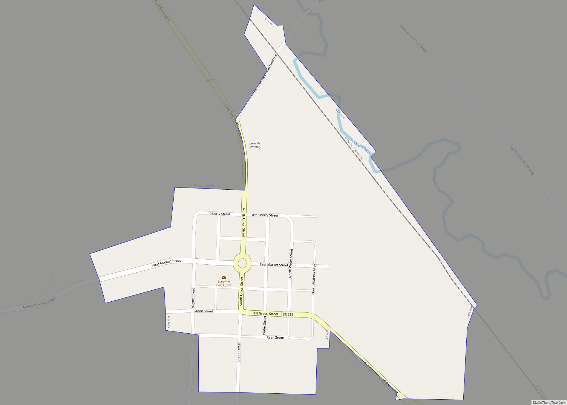
Leesville is a village in southwestern Carroll County, Ohio, United States. The population was 127 at the 2020 census. It is part of the Canton–Massillon metropolitan area.
| Name: | Leesville village |
|---|---|
| LSAD Code: | 47 |
| LSAD Description: | village (suffix) |
| State: | Ohio |
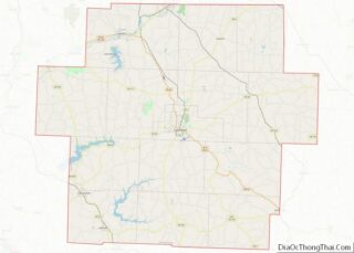
| County: | Carroll County |
| Elevation: | 997 ft (304 m) |
| Total Area: | 0.26 sq mi (0.66 km²) |
| Land Area: | 0.26 sq mi (0.66 km²) |
| Water Area: | 0.00 sq mi (0.00 km²) |
| Total Population: | 127 |
| Population Density: | 494.16/sq mi (190.98/km²) |
| ZIP code: | 44639 |
| Area code: | 740 |
| FIPS code: | 3942518 |
| GNISfeature ID: | 1064981 |
Online Interactive Map
Click on ![]() to view map in "full screen" mode.
to view map in "full screen" mode.
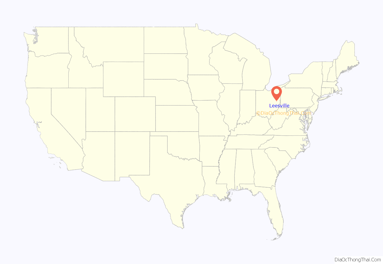
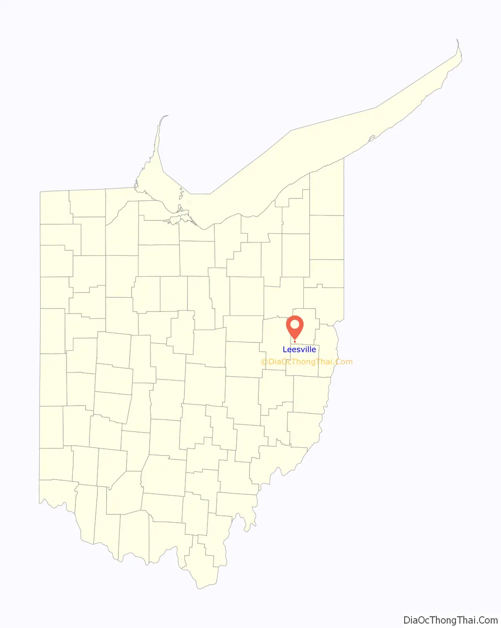
Leesville location map. Where is Leesville village?
History
Leesville was platted August 1, 1812, as Leesburg in what was then One Leg Township, Tuscarawas County, by Thomas Price and Peter Saunders. By the 1820 census it had 131 residents. By 1880, the population was 408, mostly involved in farming and coal mining, and the post office was named Leesville to avoid confusion with a Leesburg in Highland county. At some later point the village name was changed.
Eckley and Perry state of Leesville: “It was one of the stations on the Underground Railroad, and in those days its little public hall at times was visited by such bright and shining abolition lights as William Lloyd Garrison, Frederick Douglass, Wendell Phillips, Parker Pillsbury.”
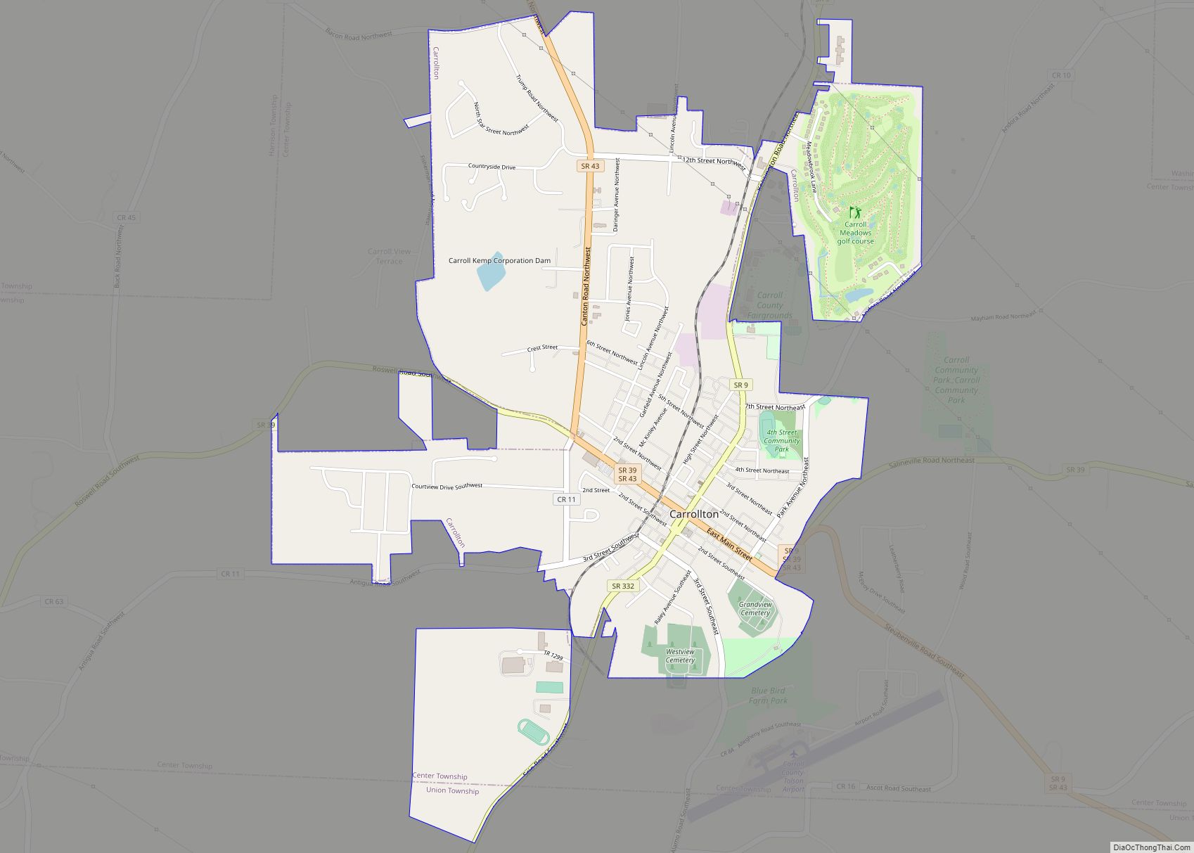
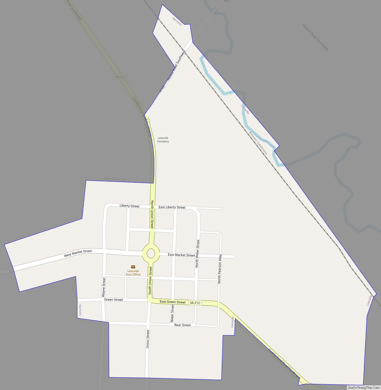
Leesville Road Map
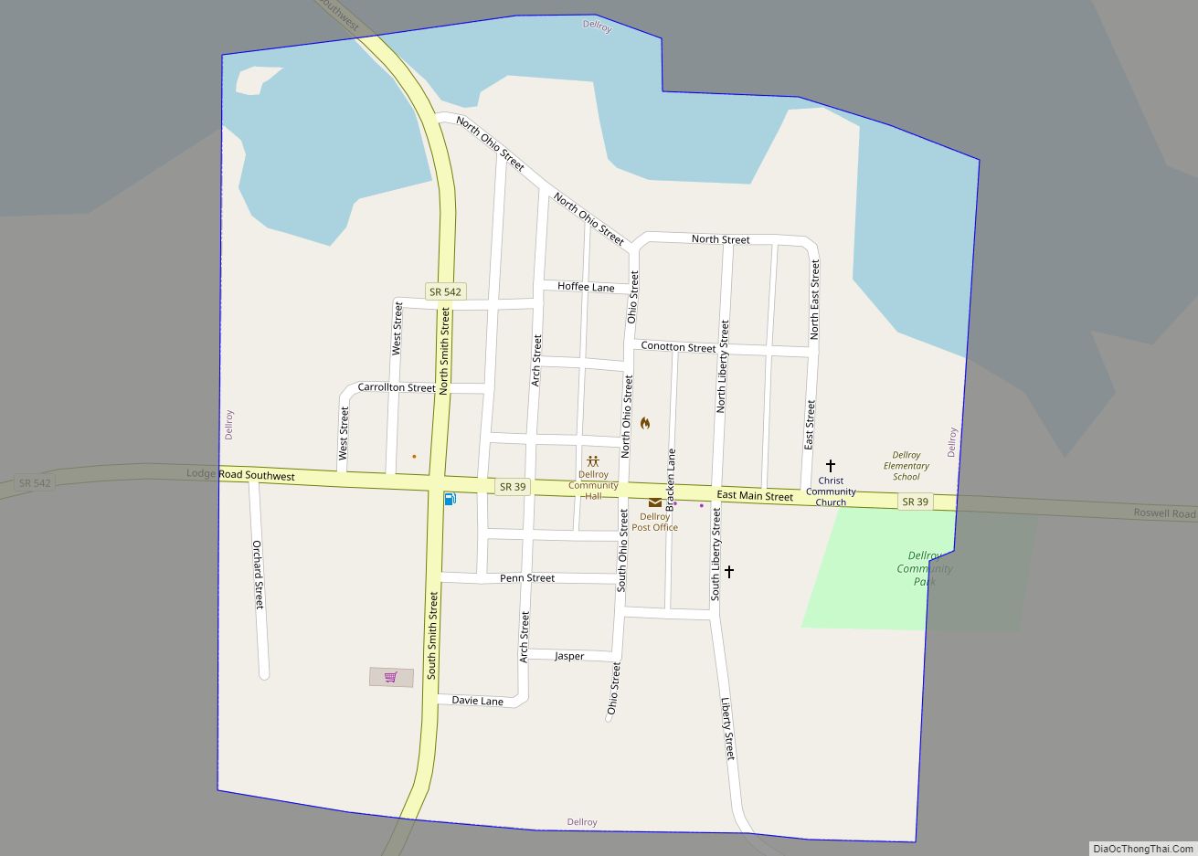
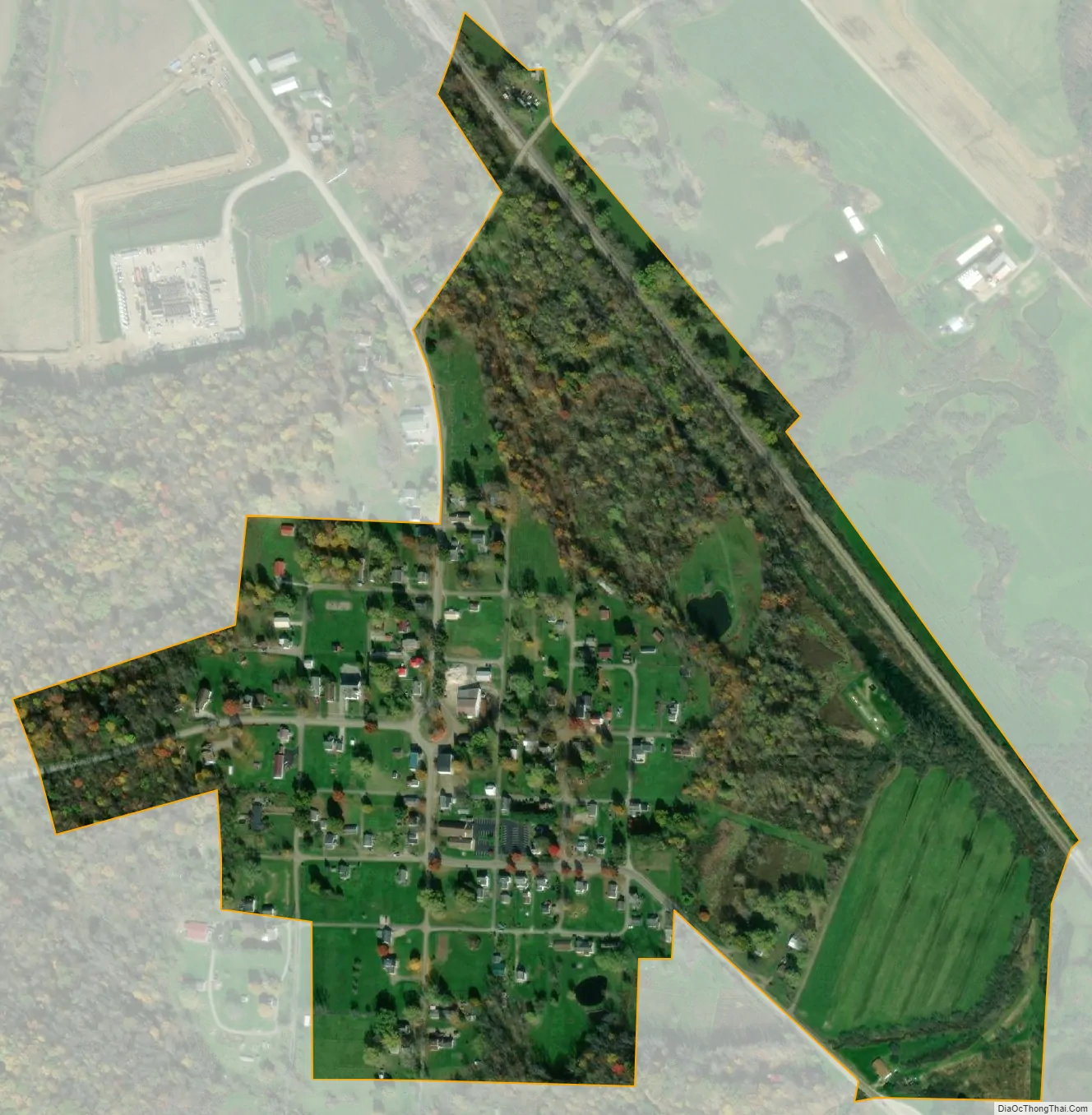
Leesville city Satellite Map
Geography
Leesville is located along Conotton Creek at 40°27′4″N 81°12′38″W / 40.45111°N 81.21056°W / 40.45111; -81.21056 (40.451249, -81.210453).
According to the United States Census Bureau, the village has a total area of 0.26 square miles (0.67 km), all land.
Leesville is on State Route 212 near the terminus of State Route 164.
The Wheeling and Lake Erie Railway previously the New York, Chicago and St. Louis Railroad passes through the town.
See also
Map of Ohio State and its subdivision:- Adams
- Allen
- Ashland
- Ashtabula
- Athens
- Auglaize
- Belmont
- Brown
- Butler
- Carroll
- Champaign
- Clark
- Clermont
- Clinton
- Columbiana
- Coshocton
- Crawford
- Cuyahoga
- Darke
- Defiance
- Delaware
- Erie
- Fairfield
- Fayette
- Franklin
- Fulton
- Gallia
- Geauga
- Greene
- Guernsey
- Hamilton
- Hancock
- Hardin
- Harrison
- Henry
- Highland
- Hocking
- Holmes
- Huron
- Jackson
- Jefferson
- Knox
- Lake
- Lake Erie
- Lawrence
- Licking
- Logan
- Lorain
- Lucas
- Madison
- Mahoning
- Marion
- Medina
- Meigs
- Mercer
- Miami
- Monroe
- Montgomery
- Morgan
- Morrow
- Muskingum
- Noble
- Ottawa
- Paulding
- Perry
- Pickaway
- Pike
- Portage
- Preble
- Putnam
- Richland
- Ross
- Sandusky
- Scioto
- Seneca
- Shelby
- Stark
- Summit
- Trumbull
- Tuscarawas
- Union
- Van Wert
- Vinton
- Warren
- Washington
- Wayne
- Williams
- Wood
- Wyandot
- Alabama
- Alaska
- Arizona
- Arkansas
- California
- Colorado
- Connecticut
- Delaware
- District of Columbia
- Florida
- Georgia
- Hawaii
- Idaho
- Illinois
- Indiana
- Iowa
- Kansas
- Kentucky
- Louisiana
- Maine
- Maryland
- Massachusetts
- Michigan
- Minnesota
- Mississippi
- Missouri
- Montana
- Nebraska
- Nevada
- New Hampshire
- New Jersey
- New Mexico
- New York
- North Carolina
- North Dakota
- Ohio
- Oklahoma
- Oregon
- Pennsylvania
- Rhode Island
- South Carolina
- South Dakota
- Tennessee
- Texas
- Utah
- Vermont
- Virginia
- Washington
- West Virginia
- Wisconsin
- Wyoming