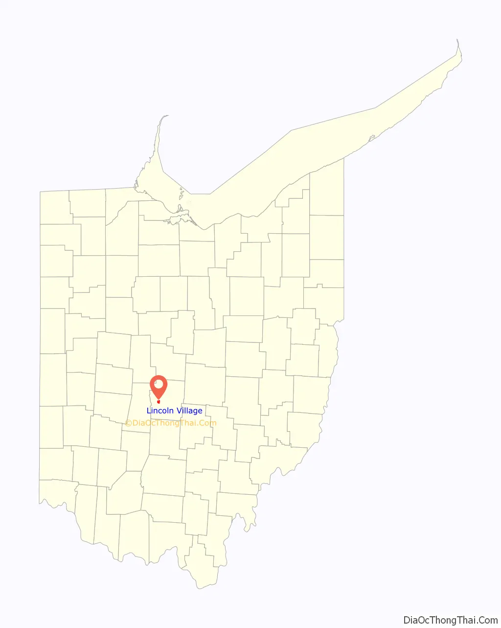
Lincoln Village is a census-designated place (CDP) in Prairie Township, Franklin County, Ohio, United States. It is centered near the intersection of US 40 and I-270 on the west side of Columbus. As of the 2010 census, the population was 9,032, down from 9,482 at the 2000 census.
Lincoln Village was started in 1955 as a planned community by a real estate subsidiary of Nationwide Insurance. The community was developed to have all the essentials, such as a shopping center, schools, and parks, and to incorporate safety considerations such as not positioning the homes on street corners to eliminate blind intersections.
| Name: | Lincoln Village CDP |
|---|---|
| LSAD Code: | 57 |
| LSAD Description: | CDP (suffix) |
| State: | Ohio |
| County: | Franklin County |
| Elevation: | 909 ft (277 m) |
| Total Area: | 1.82 sq mi (4.73 km²) |
| Land Area: | 1.82 sq mi (4.73 km²) |
| Water Area: | 0.00 sq mi (0.00 km²) |
| Total Population: | 9,702 |
| Population Density: | 5,316.16/sq mi (2,052.34/km²) |
| FIPS code: | 3943792 |
| GNISfeature ID: | 1867459 |
Online Interactive Map
Click on ![]() to view map in "full screen" mode.
to view map in "full screen" mode.
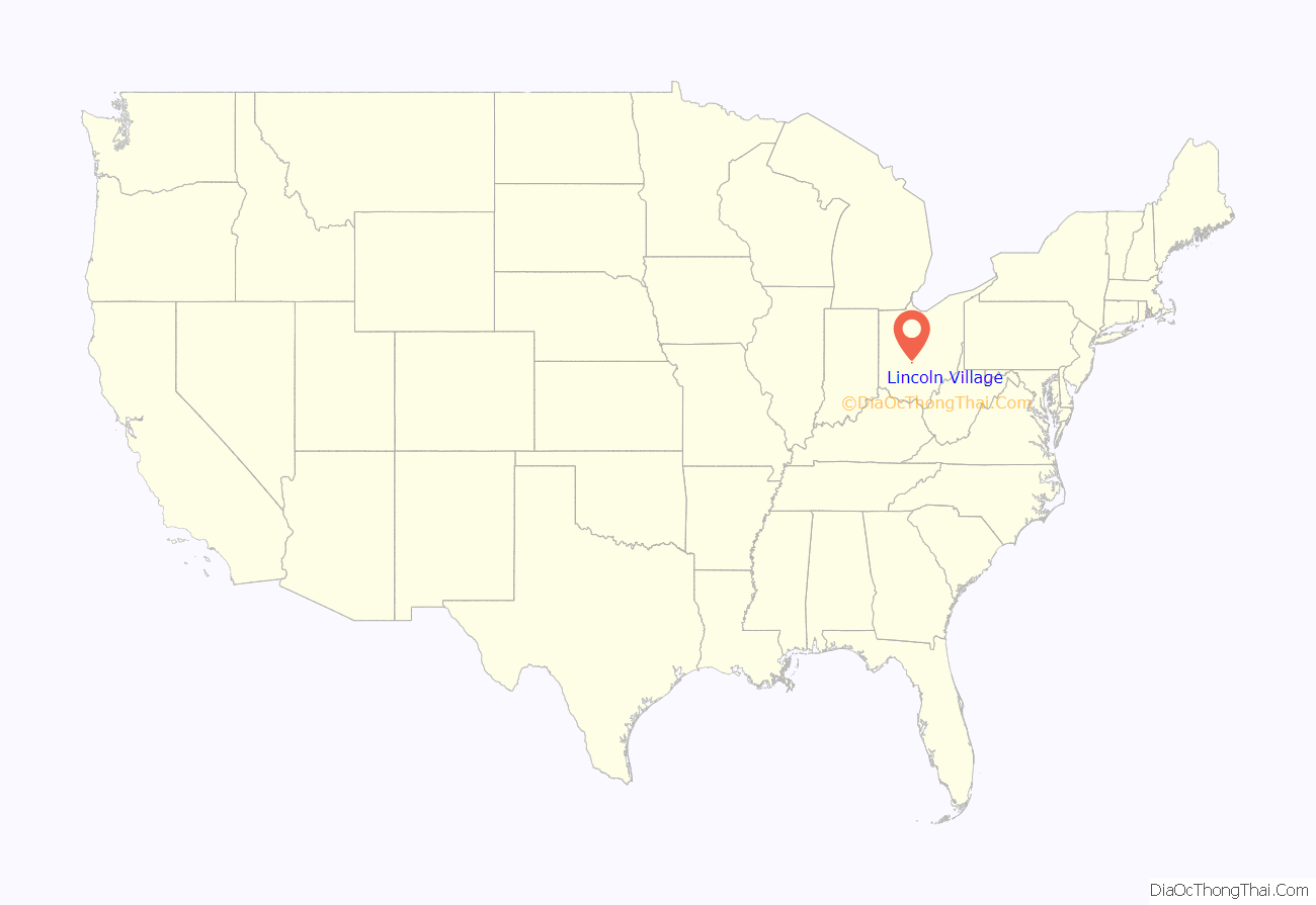
Lincoln Village location map. Where is Lincoln Village CDP?
History
Ohio Farm Bureau Federation President and CEO Murray Lincoln had aspired to create a suburban “village” since the early 1940s. Lincoln, as the head of what would become Nationwide Insurance from 1920 to 1948, initiated work on the Lincoln Village project in the early 1950s with the support of the U.S. Cooperative Movement. Lincoln was able to “sell” the Cooperative ideology to Ohio individual farmers, and viewed co-ops as “an answer to Communism in Europe and Asia, and as a balance wheel against unfettered private enterprise in the U.S.” After founding several co-op and non co-op enterprises, Lincoln was able to fund the development of Lincoln Village with assets made from these corporations (which totaled $133,510,000). Lincoln’s People’s Development Corporation was formed to build Lincoln Village. The price of this project was about $30,000,000 USD. The plan for Lincoln Village included 9 miles (14 km) of streets, sewers, a pumping station, and a million-gallon water pump. Lincoln Village was built for 10,000 inhabitants, and was set around a 20-acre (8.1 ha) civic center. In 1953, bulldozers completed grading of 1,270 acres (510 ha) of farmland in western Columbus for the construction of Lincoln Village, with churches, a school, wooded park, playgrounds, and a library. A shopping center would also be built. Housing in the village was to include apartment buildings and single family homes priced between $9,000 to $16,000.
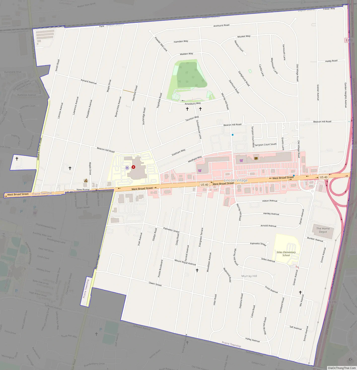
Lincoln Village Road Map
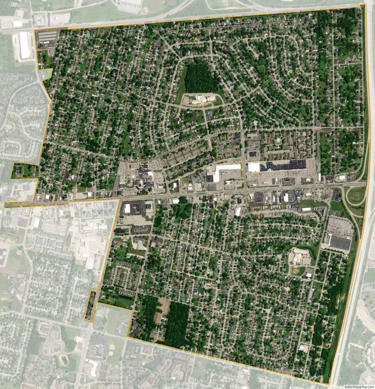
Lincoln Village city Satellite Map
Geography
Lincoln Village is located in west-central Franklin County at 39°57′10″N 83°7′57″W / 39.95278°N 83.13250°W / 39.95278; -83.13250 (39.952696, -83.132598).
The Pennsylvania Railroad borders Lincoln Village to the north, Sullivant Avenue to the south, and Interstate 270 to the east. The western border of Lincoln Village follows Hilliard Rome Road and Norton Road, the larger northwest portion by Hilliard-Rome Road and the smaller southwest portion by Norton Road. U.S. Route 40 (the National Road, known as W. Broad Street within the community) runs through the center of town, leading east 9 miles (14 km) to the center of Columbus. The city of Columbus borders Lincoln Village to the north, west, and south; a portion of Franklin Township is to the east, across I-270.
According to the United States Census Bureau, Lincoln Village has a total area of 1.83 square miles (4.75 km), all land.
Adjacent neighborhoods include New Rome, Rome Heights, Cherry Creek, and National Pike Little Farms.
See also
Map of Ohio State and its subdivision:- Adams
- Allen
- Ashland
- Ashtabula
- Athens
- Auglaize
- Belmont
- Brown
- Butler
- Carroll
- Champaign
- Clark
- Clermont
- Clinton
- Columbiana
- Coshocton
- Crawford
- Cuyahoga
- Darke
- Defiance
- Delaware
- Erie
- Fairfield
- Fayette
- Franklin
- Fulton
- Gallia
- Geauga
- Greene
- Guernsey
- Hamilton
- Hancock
- Hardin
- Harrison
- Henry
- Highland
- Hocking
- Holmes
- Huron
- Jackson
- Jefferson
- Knox
- Lake
- Lake Erie
- Lawrence
- Licking
- Logan
- Lorain
- Lucas
- Madison
- Mahoning
- Marion
- Medina
- Meigs
- Mercer
- Miami
- Monroe
- Montgomery
- Morgan
- Morrow
- Muskingum
- Noble
- Ottawa
- Paulding
- Perry
- Pickaway
- Pike
- Portage
- Preble
- Putnam
- Richland
- Ross
- Sandusky
- Scioto
- Seneca
- Shelby
- Stark
- Summit
- Trumbull
- Tuscarawas
- Union
- Van Wert
- Vinton
- Warren
- Washington
- Wayne
- Williams
- Wood
- Wyandot
- Alabama
- Alaska
- Arizona
- Arkansas
- California
- Colorado
- Connecticut
- Delaware
- District of Columbia
- Florida
- Georgia
- Hawaii
- Idaho
- Illinois
- Indiana
- Iowa
- Kansas
- Kentucky
- Louisiana
- Maine
- Maryland
- Massachusetts
- Michigan
- Minnesota
- Mississippi
- Missouri
- Montana
- Nebraska
- Nevada
- New Hampshire
- New Jersey
- New Mexico
- New York
- North Carolina
- North Dakota
- Ohio
- Oklahoma
- Oregon
- Pennsylvania
- Rhode Island
- South Carolina
- South Dakota
- Tennessee
- Texas
- Utah
- Vermont
- Virginia
- Washington
- West Virginia
- Wisconsin
- Wyoming