Lucas is a village in southeastern Richland County, Ohio, United States. Lucas is part of the Mansfield, Ohio Metropolitan Statistical Area.
| Name: | Lucas village |
|---|---|
| LSAD Code: | 47 |
| LSAD Description: | village (suffix) |
| State: | Ohio |
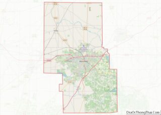
| County: | Richland County |
| Elevation: | 1,093 ft (333 m) |
| Total Area: | 0.68 sq mi (1.76 km²) |
| Land Area: | 0.68 sq mi (1.75 km²) |
| Water Area: | 0.00 sq mi (0.00 km²) |
| Total Population: | 589 |
| Population Density: | 870.01/sq mi (335.81/km²) |
| ZIP code: | 44843 |
| Area code: | 419 |
| FIPS code: | 3945276 |
| GNISfeature ID: | 1048396 |
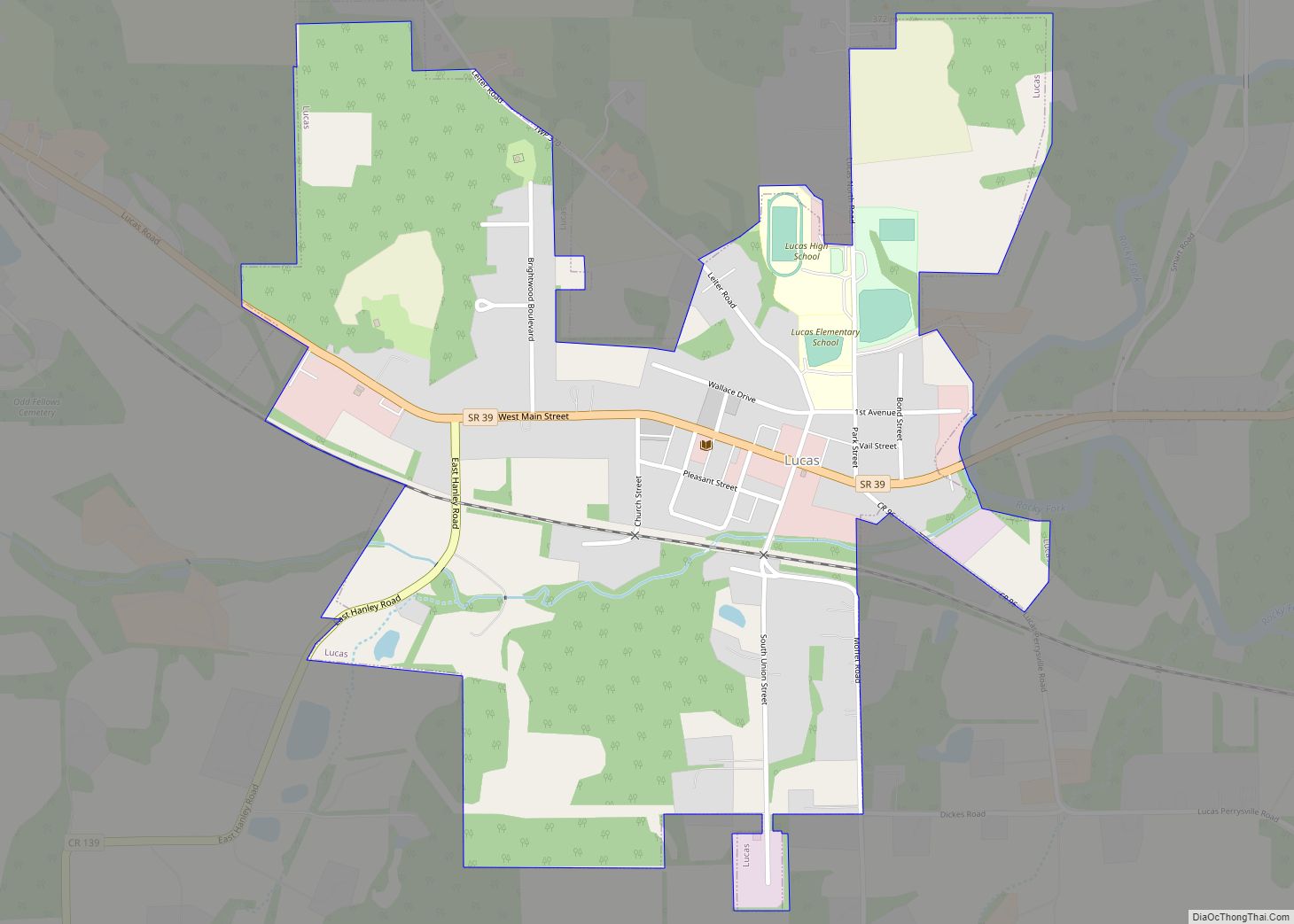
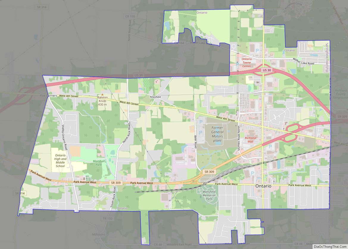
Online Interactive Map
Click on ![]() to view map in "full screen" mode.
to view map in "full screen" mode.
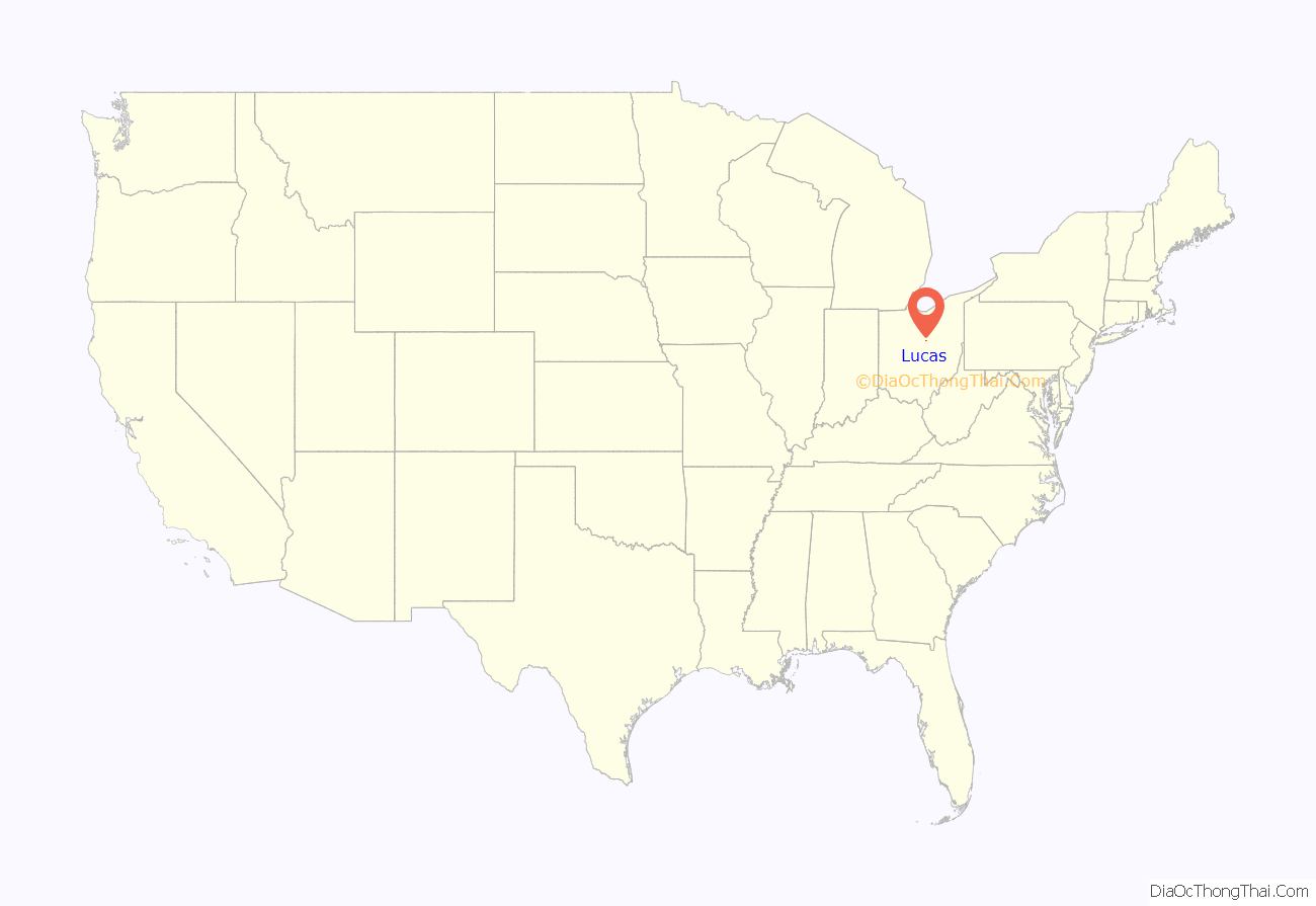
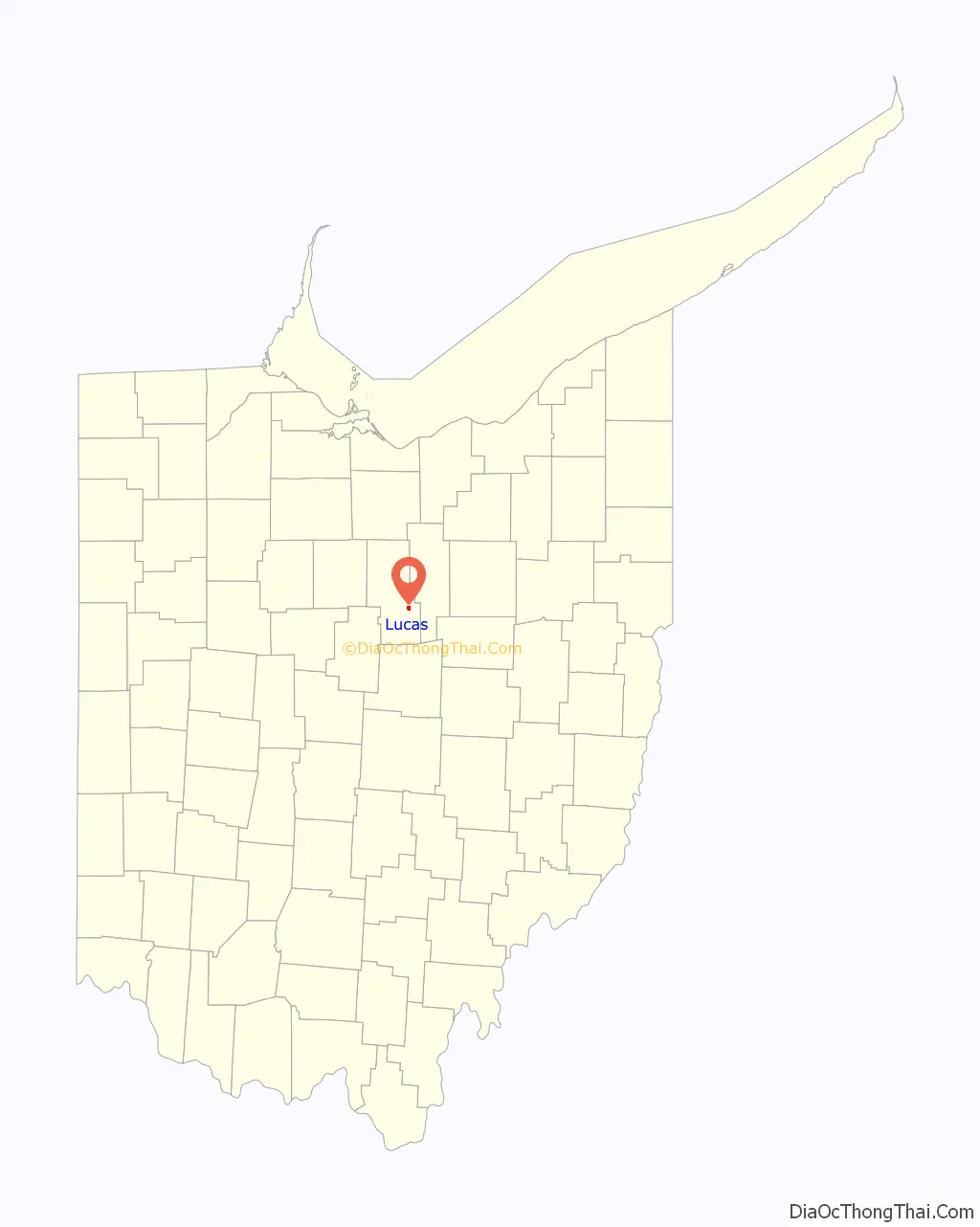
Lucas location map. Where is Lucas village?
History
David Tucker, a New Hampshire resident, moved to Richland County in 1819, where he set in a proposal to buy land in the rural country of the county. He was granted this proposal in 1824, allowing him to buy land from the state at $1.25 per acre. After purchasing a mass quantity of land from the state, Tucker hired Mr. Steward to survey the land for auctioning out. David’s brother, John, was placed in charge as the head attorney authored to sell land to incoming settlers and pioneers in 1829. The auction was advertised in the local handbill “The Mansfield Shield and Banner”, in which the land was described as “as good as a wheat growing country as the state can have.” In response to this statement, the land for three major wheat mills was bought that year and mills were built in the following months. The town officially built and commissioned a postal office later that year. In 1830, the Chicago Railroad Company paid for tracks to be laid down on the south side of town of the town as well as a depot. By 1834, the Lucas area was full of houses and shops, becoming a major rural center for Richland County, mostly due to being the first town in the county to receive federal aid in its building because the land where Lucas presided was a campsite of General John Brooks (governor) as he marched north from Mansfield during the War of 1812, thus qualifying it as a historical site at the time. Currently three theories exist on how the Village of Lucas acquired its name:
- The town was named after the current at the time and 12th governor of Ohio, Robert Lucas.
- The town was named in honor of Governor Lucas’s brother, a major land owner for the town.
- The town was named in honor of the Tucker brothers’ mother’s maiden name, Lucas.
However the name came to be, the town of Lucas was officially established according to Ohio standards at the time in 1836.
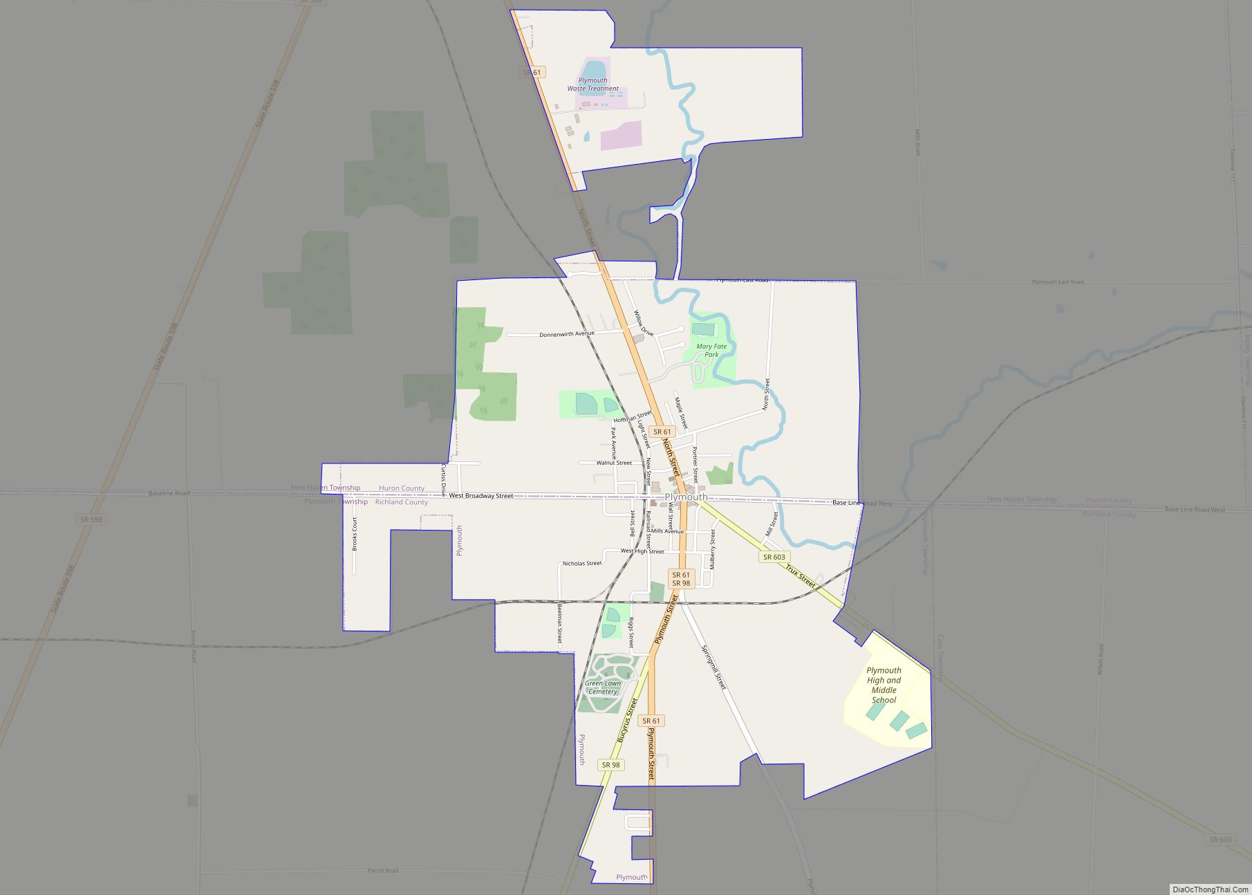
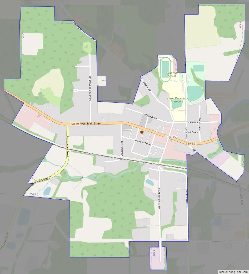
Lucas Road Map
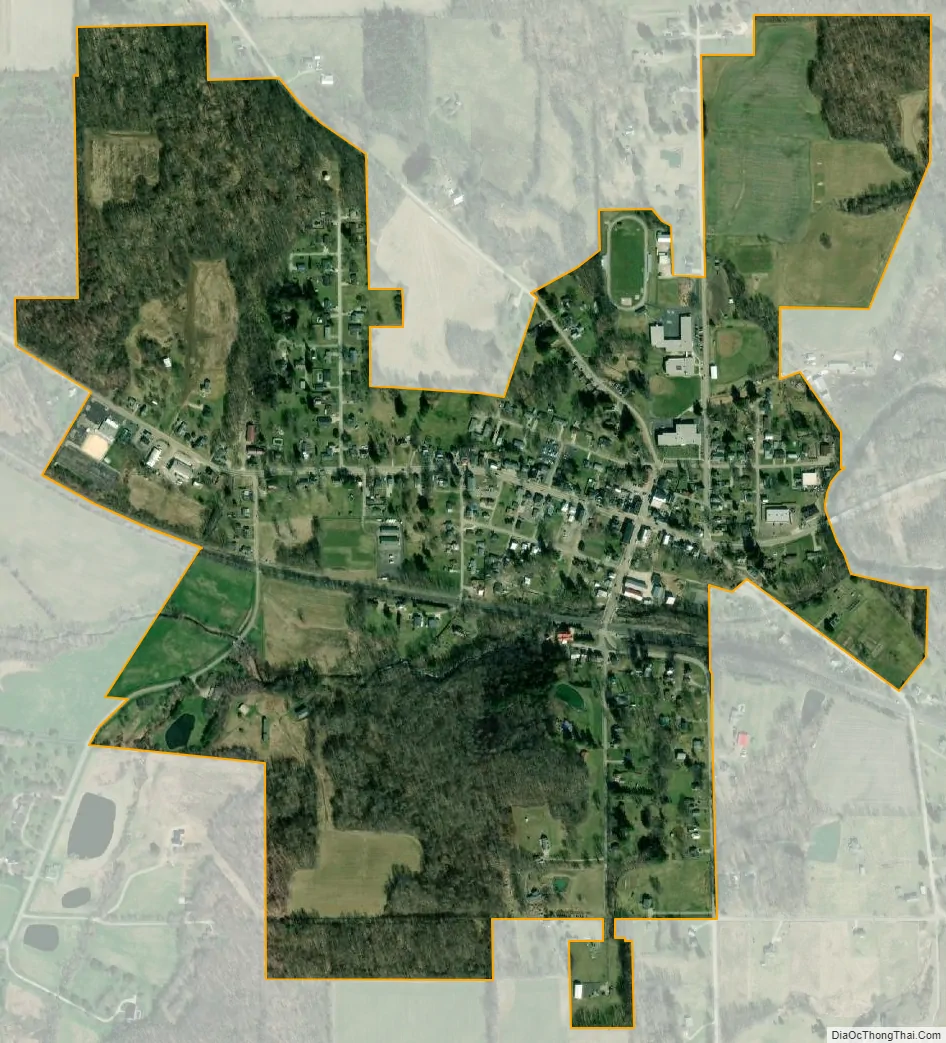
Lucas city Satellite Map
Geography
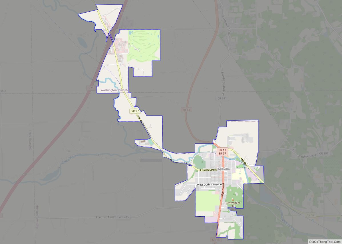
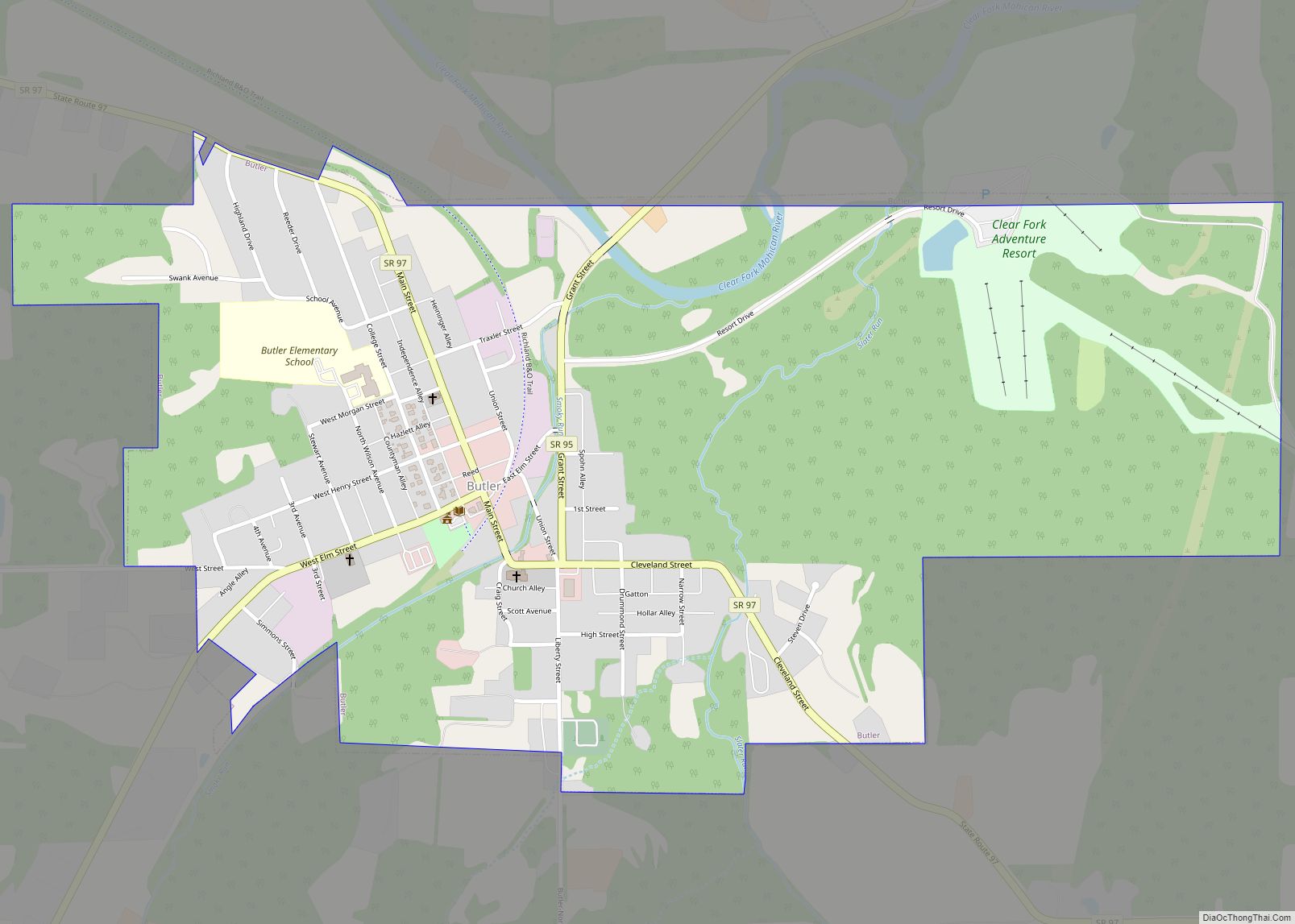
Lucas is located at 40°42′14″N 82°25′12″W / 40.70389°N 82.42000°W / 40.70389; -82.42000 (40.703773, -82.420024). It lies southeast of Mansfield, a few miles from Interstate 71 on State Route 39. Lucas is surrounded by the Rocky Fork and Black Fork rivers, and the Charles Mill Lake to the east, and the Pleasant Hill Lake to the south. Lucas has many hills and forests and is part of the Mohican Valley area, along with Loudonville, Perrysville, Butler and Bellville. According to the United States Census Bureau, the village has a total area of 0.69 square miles (1.79 km), all land.
See also
Map of Ohio State and its subdivision:- Adams
- Allen
- Ashland
- Ashtabula
- Athens
- Auglaize
- Belmont
- Brown
- Butler
- Carroll
- Champaign
- Clark
- Clermont
- Clinton
- Columbiana
- Coshocton
- Crawford
- Cuyahoga
- Darke
- Defiance
- Delaware
- Erie
- Fairfield
- Fayette
- Franklin
- Fulton
- Gallia
- Geauga
- Greene
- Guernsey
- Hamilton
- Hancock
- Hardin
- Harrison
- Henry
- Highland
- Hocking
- Holmes
- Huron
- Jackson
- Jefferson
- Knox
- Lake
- Lake Erie
- Lawrence
- Licking
- Logan
- Lorain
- Lucas
- Madison
- Mahoning
- Marion
- Medina
- Meigs
- Mercer
- Miami
- Monroe
- Montgomery
- Morgan
- Morrow
- Muskingum
- Noble
- Ottawa
- Paulding
- Perry
- Pickaway
- Pike
- Portage
- Preble
- Putnam
- Richland
- Ross
- Sandusky
- Scioto
- Seneca
- Shelby
- Stark
- Summit
- Trumbull
- Tuscarawas
- Union
- Van Wert
- Vinton
- Warren
- Washington
- Wayne
- Williams
- Wood
- Wyandot
- Alabama
- Alaska
- Arizona
- Arkansas
- California
- Colorado
- Connecticut
- Delaware
- District of Columbia
- Florida
- Georgia
- Hawaii
- Idaho
- Illinois
- Indiana
- Iowa
- Kansas
- Kentucky
- Louisiana
- Maine
- Maryland
- Massachusetts
- Michigan
- Minnesota
- Mississippi
- Missouri
- Montana
- Nebraska
- Nevada
- New Hampshire
- New Jersey
- New Mexico
- New York
- North Carolina
- North Dakota
- Ohio
- Oklahoma
- Oregon
- Pennsylvania
- Rhode Island
- South Carolina
- South Dakota
- Tennessee
- Texas
- Utah
- Vermont
- Virginia
- Washington
- West Virginia
- Wisconsin
- Wyoming