Ludlow Falls is a village in Miami County, Ohio, United States. The population was 208 at the 2010 census. It is part of the Dayton Metropolitan Statistical Area. Ludlow Falls is named after surveyor Israel Ludlow.
| Name: | Ludlow Falls village |
|---|---|
| LSAD Code: | 47 |
| LSAD Description: | village (suffix) |
| State: | Ohio |
| County: | Miami County |
| Elevation: | 902 ft (275 m) |
| Total Area: | 0.18 sq mi (0.46 km²) |
| Land Area: | 0.18 sq mi (0.46 km²) |
| Water Area: | 0.00 sq mi (0.00 km²) |
| Total Population: | 175 |
| Population Density: | 977.65/sq mi (378.51/km²) |
| ZIP code: | 45339 |
| Area code: | 937, 326 |
| FIPS code: | 3945374 |
| GNISfeature ID: | 1061451 |
Online Interactive Map
Click on ![]() to view map in "full screen" mode.
to view map in "full screen" mode.
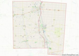
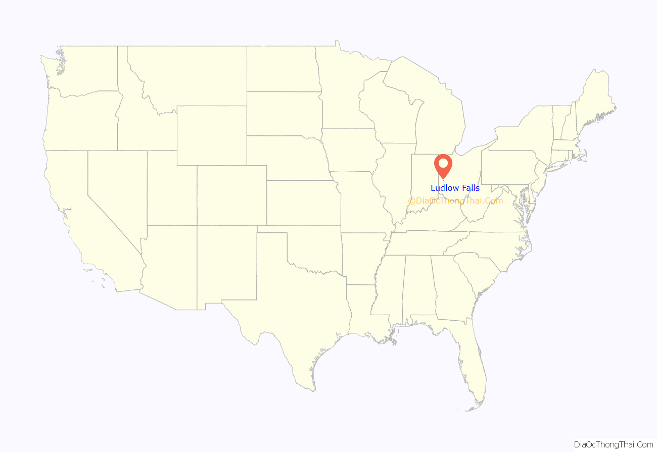
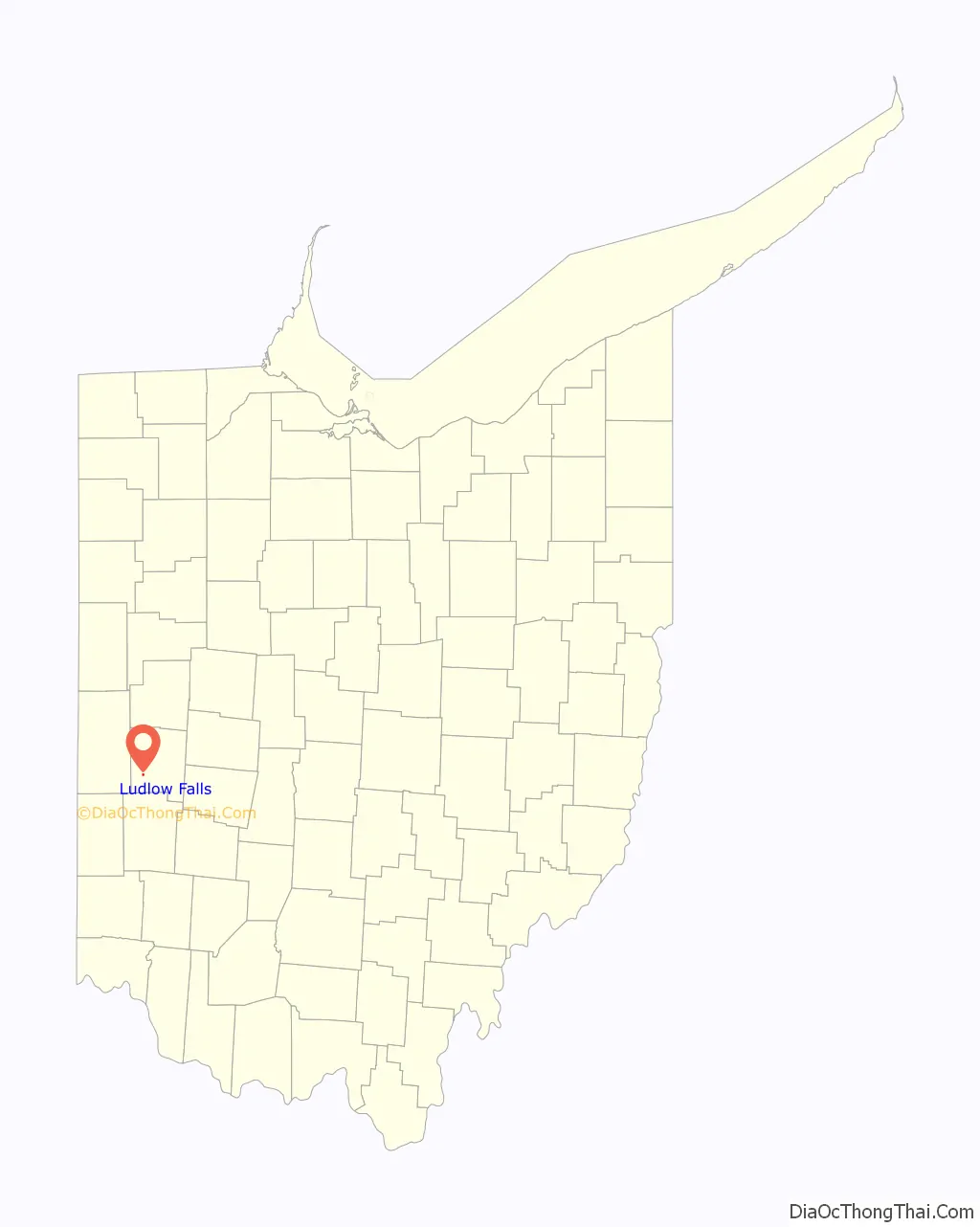
Ludlow Falls location map. Where is Ludlow Falls village?
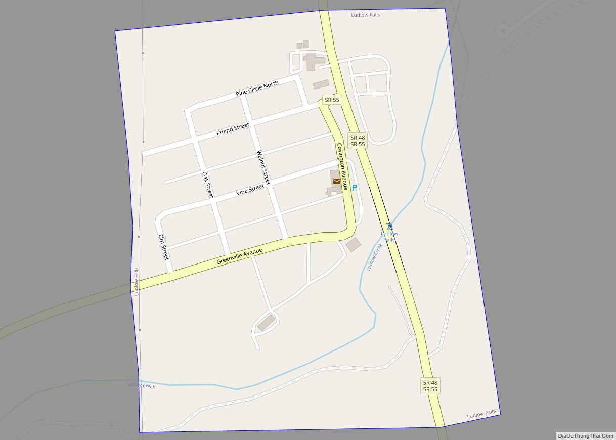
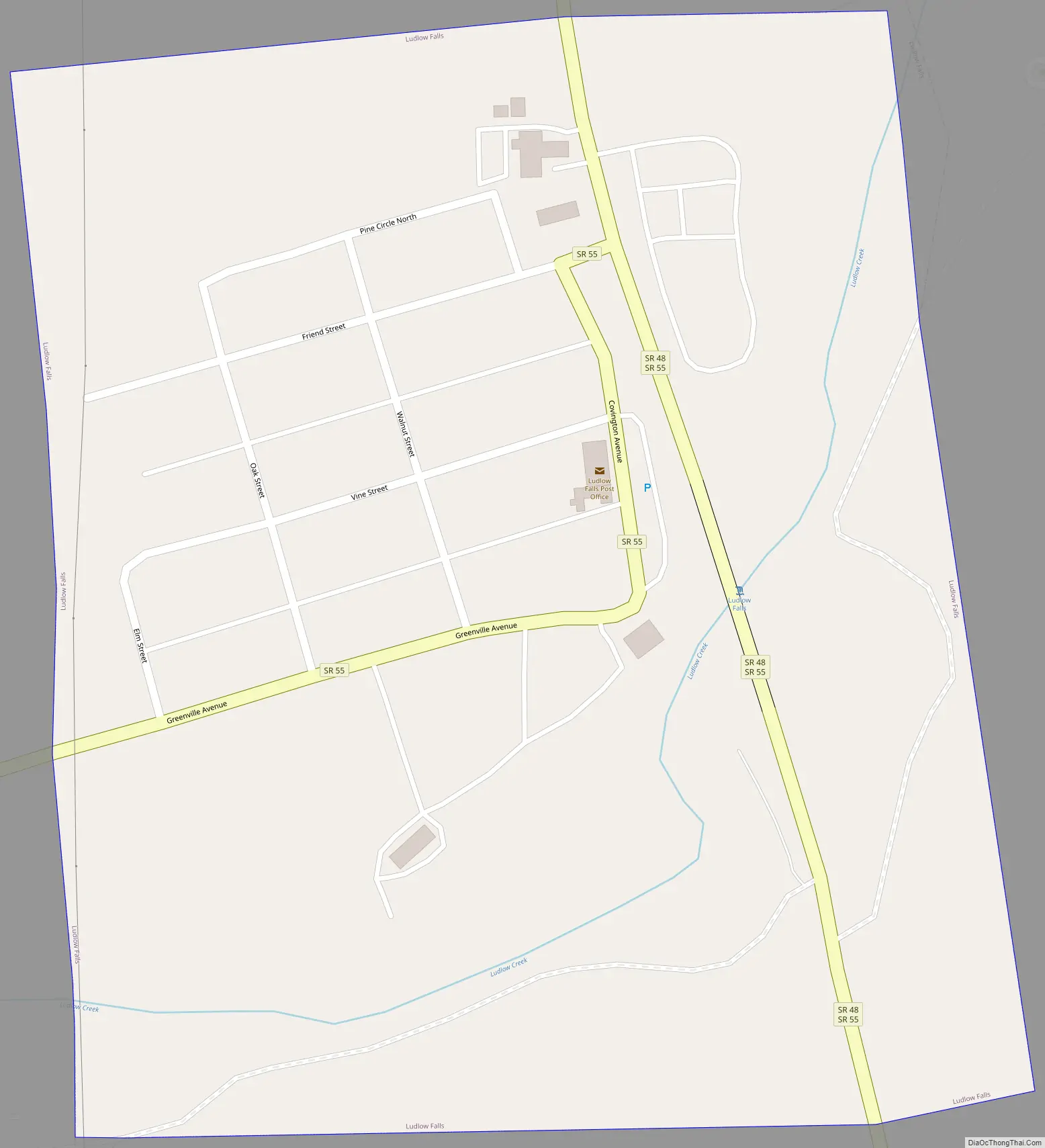
Ludlow Falls Road Map
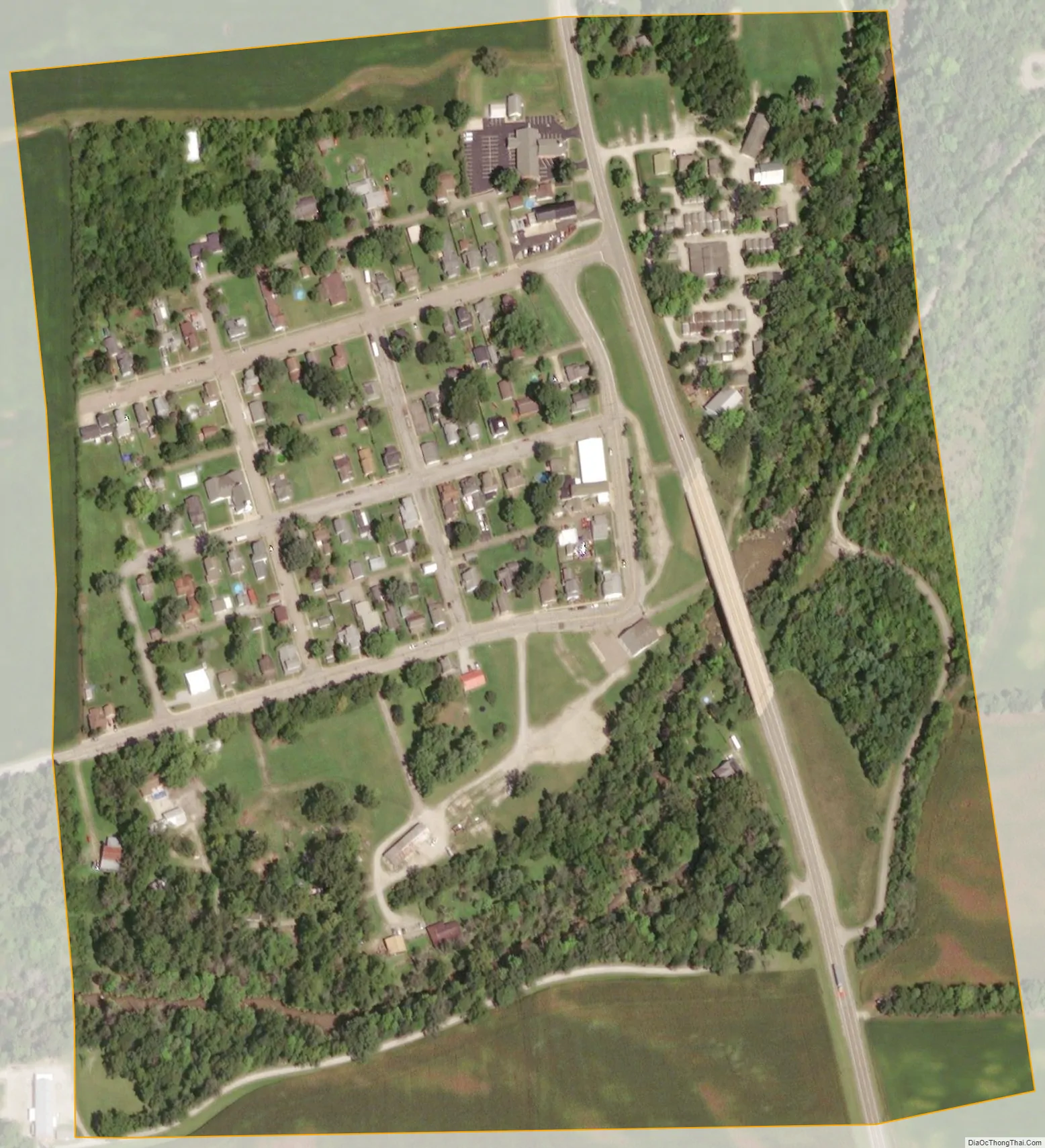
Ludlow Falls city Satellite Map
Geography
Ludlow Falls is located at 39°59′53″N 84°20′25″W / 39.99806°N 84.34028°W / 39.99806; -84.34028 (39.998172, -84.340320).
According to the United States Census Bureau, the village has a total area of 0.18 square miles (0.47 km), all land.
Ludlow Falls is a part of the Milton-Union School district located in the neighboring West Milton.
Ludlow Creek, a tributary of the Stillwater River, flows through Ludlow Falls. The village’s name is derived from the waterfall of the stream located in the village.
There was a railroad line through Ludlow Falls that was built in 1881 from Springfield, Ohio to Indianapolis, Indiana. It was later owned by the New York Central Railroad. There was very little on-line traffic and the line was lightly used by the 1970s. The line was not included in the 1976 makeup of Conrail and the last train ran on March 31, 1976. The tracks were pulled up shortly thereafter.
See also
Map of Ohio State and its subdivision:- Adams
- Allen
- Ashland
- Ashtabula
- Athens
- Auglaize
- Belmont
- Brown
- Butler
- Carroll
- Champaign
- Clark
- Clermont
- Clinton
- Columbiana
- Coshocton
- Crawford
- Cuyahoga
- Darke
- Defiance
- Delaware
- Erie
- Fairfield
- Fayette
- Franklin
- Fulton
- Gallia
- Geauga
- Greene
- Guernsey
- Hamilton
- Hancock
- Hardin
- Harrison
- Henry
- Highland
- Hocking
- Holmes
- Huron
- Jackson
- Jefferson
- Knox
- Lake
- Lake Erie
- Lawrence
- Licking
- Logan
- Lorain
- Lucas
- Madison
- Mahoning
- Marion
- Medina
- Meigs
- Mercer
- Miami
- Monroe
- Montgomery
- Morgan
- Morrow
- Muskingum
- Noble
- Ottawa
- Paulding
- Perry
- Pickaway
- Pike
- Portage
- Preble
- Putnam
- Richland
- Ross
- Sandusky
- Scioto
- Seneca
- Shelby
- Stark
- Summit
- Trumbull
- Tuscarawas
- Union
- Van Wert
- Vinton
- Warren
- Washington
- Wayne
- Williams
- Wood
- Wyandot
- Alabama
- Alaska
- Arizona
- Arkansas
- California
- Colorado
- Connecticut
- Delaware
- District of Columbia
- Florida
- Georgia
- Hawaii
- Idaho
- Illinois
- Indiana
- Iowa
- Kansas
- Kentucky
- Louisiana
- Maine
- Maryland
- Massachusetts
- Michigan
- Minnesota
- Mississippi
- Missouri
- Montana
- Nebraska
- Nevada
- New Hampshire
- New Jersey
- New Mexico
- New York
- North Carolina
- North Dakota
- Ohio
- Oklahoma
- Oregon
- Pennsylvania
- Rhode Island
- South Carolina
- South Dakota
- Tennessee
- Texas
- Utah
- Vermont
- Virginia
- Washington
- West Virginia
- Wisconsin
- Wyoming