Marble Cliff is a village in Franklin County, Ohio, United States. The population was 634 at the 2020 census.
Marble Cliff was one of the first suburbs of Columbus, Ohio, settled as a community in 1890 and incorporated as the “Hamlet of Marble Cliff” in 1901. It took its name from the Marble Cliff Quarry Co. (still in use today), and at this time stretched all the way from the Scioto River to the Olentangy River. In 1902, it detached all land but its present area, and the area that separated became Grandview Heights in 1906. The village was named “Arlington” for a short time, which led its new neighbor to the north, incorporated in 1918, to name itself Upper Arlington. Marble Cliff is bordered by the cities of Upper Arlington, Grandview Heights, and Columbus.
Most of the village’s public services are provided by contract with Grandview Heights, including police and fire, and it is included in the Grandview Heights School District and public library system.
| Name: | Marble Cliff village |
|---|---|
| LSAD Code: | 47 |
| LSAD Description: | village (suffix) |
| State: | Ohio |
| County: | Franklin County |
| Elevation: | 797 ft (243 m) |
| Total Area: | 0.28 sq mi (0.73 km²) |
| Land Area: | 0.28 sq mi (0.73 km²) |
| Water Area: | 0.00 sq mi (0.00 km²) |
| Total Population: | 634 |
| Population Density: | 2,256.23/sq mi (872.23/km²) |
| ZIP code: | 43212 |
| Area code: | 614 |
| FIPS code: | 3947474 |
| GNISfeature ID: | 1061471 |
| Website: | www.marblecliff.org |
Online Interactive Map
Click on ![]() to view map in "full screen" mode.
to view map in "full screen" mode.
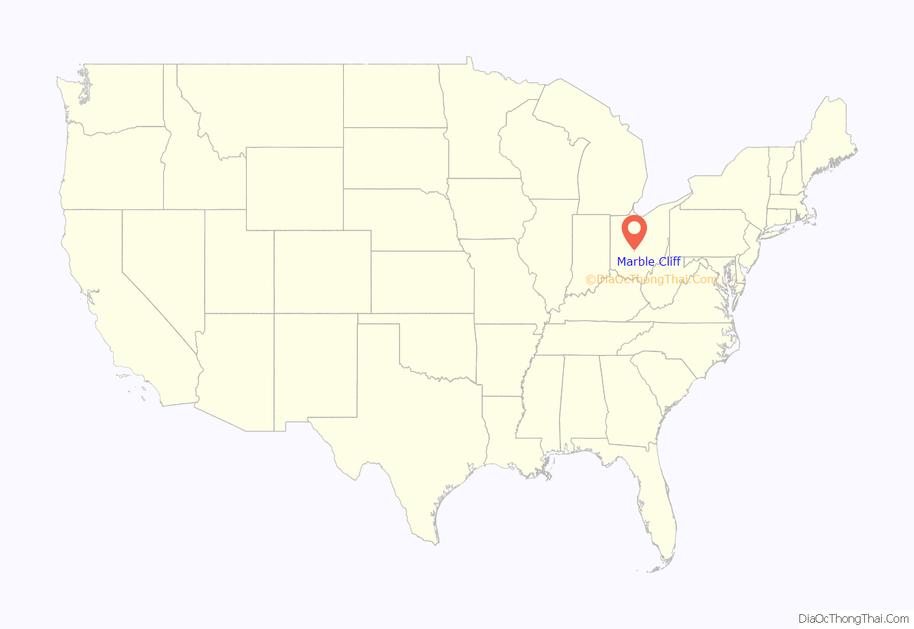
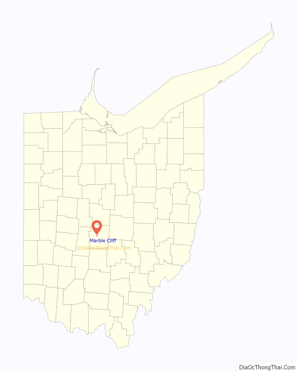
Marble Cliff location map. Where is Marble Cliff village?
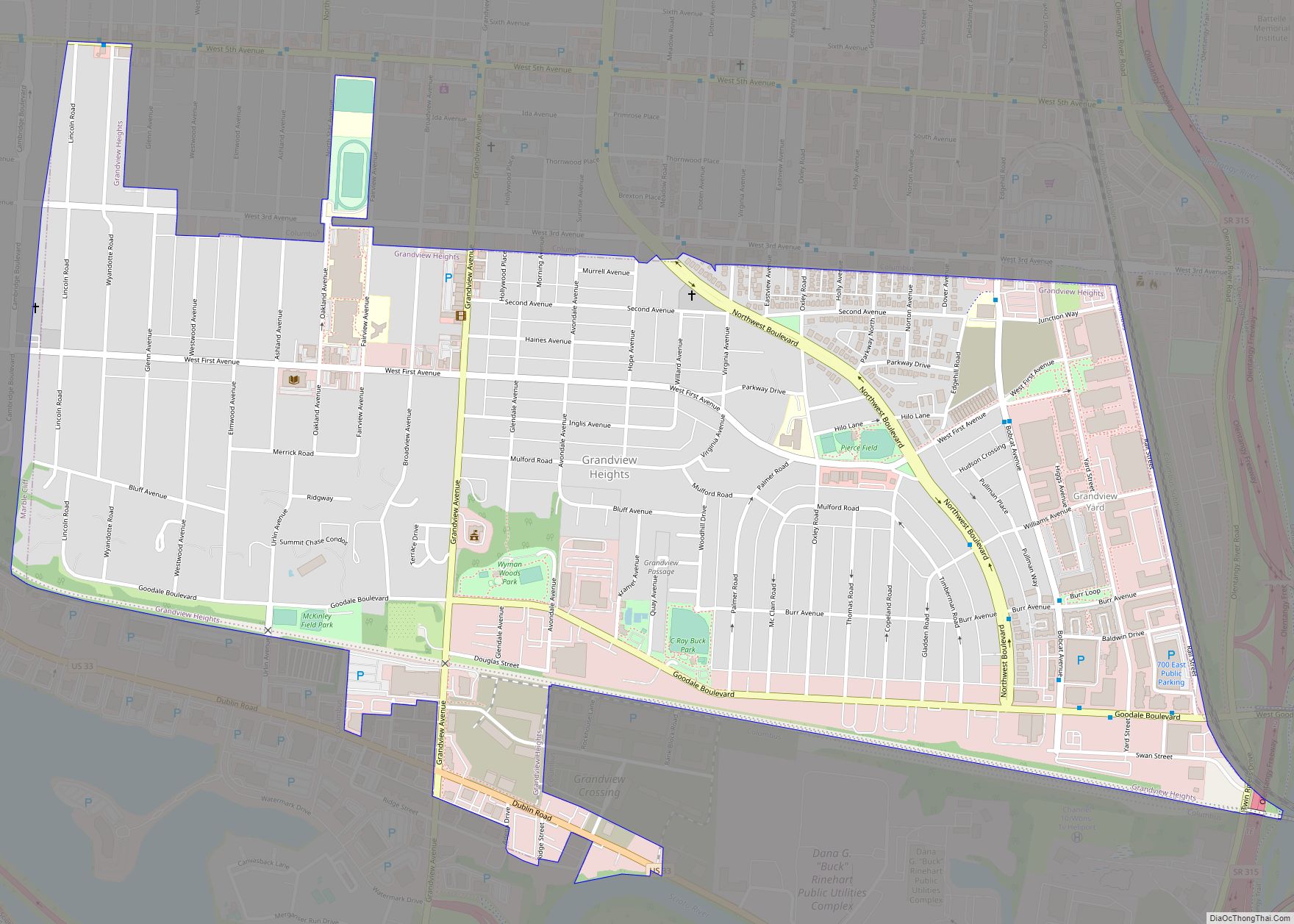
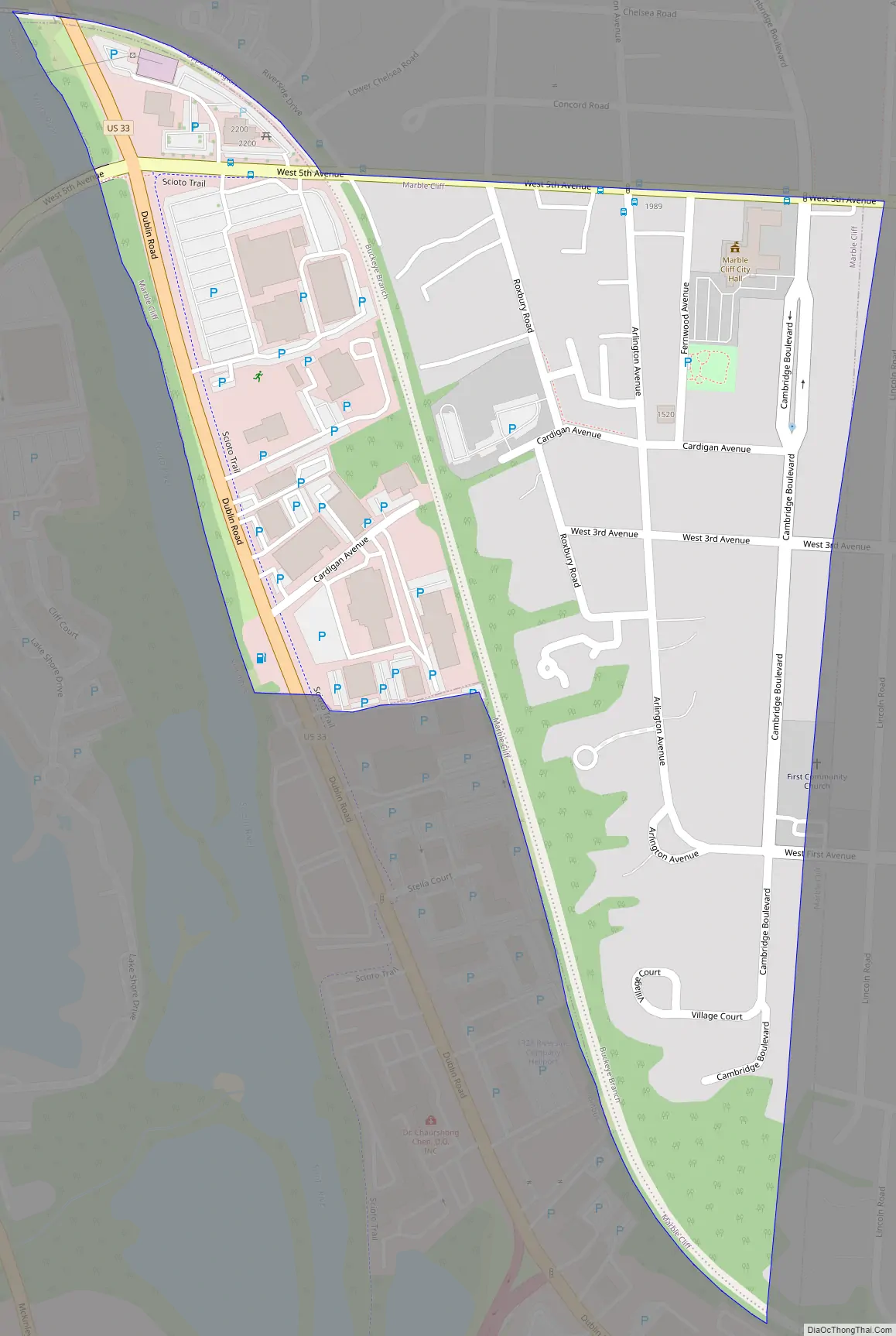
Marble Cliff Road Map
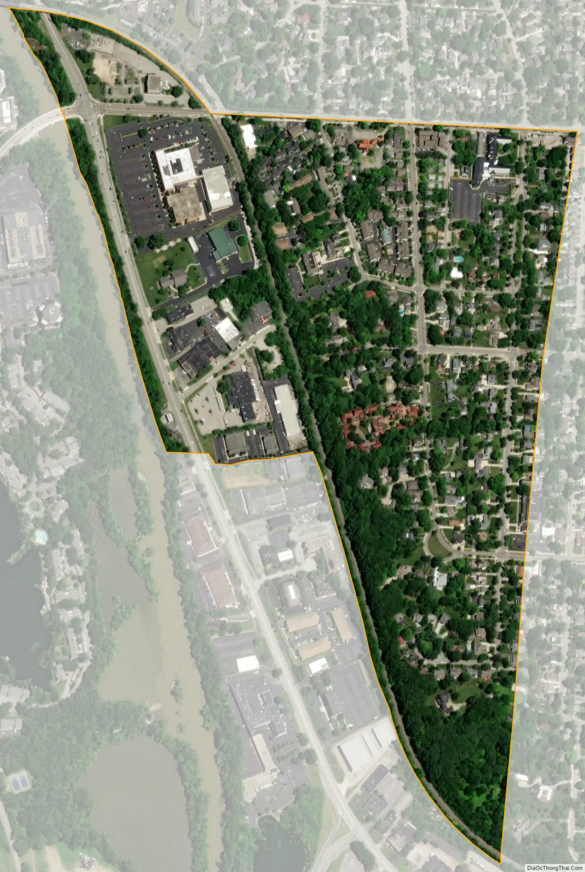
Marble Cliff city Satellite Map
Geography
Marble Cliff is located at 39°59′7″N 83°3′37″W / 39.98528°N 83.06028°W / 39.98528; -83.06028 (39.985213, -83.060403).
According to the United States Census Bureau, the village has a total area of 0.27 square miles (0.70 km), all land.
One notable landmark located in Marble Cliff, scarcely known outside of central Ohio, is the Bush mansion. This structure was built with stone quarried from the nearby Marble Cliff Quarry Co., and was once a residence of local industrialist and U.S. Senator Samuel Prescott Bush, grandfather and great-grandfather of U.S. Presidents George H. W. Bush and George W. Bush respectively. The Bush mansion itself was sold and converted to non-residential use (as a group home for the elderly). As of May 2007, it was renovated into upscale condominiums (Prescott Place).
See also
Map of Ohio State and its subdivision:- Adams
- Allen
- Ashland
- Ashtabula
- Athens
- Auglaize
- Belmont
- Brown
- Butler
- Carroll
- Champaign
- Clark
- Clermont
- Clinton
- Columbiana
- Coshocton
- Crawford
- Cuyahoga
- Darke
- Defiance
- Delaware
- Erie
- Fairfield
- Fayette
- Franklin
- Fulton
- Gallia
- Geauga
- Greene
- Guernsey
- Hamilton
- Hancock
- Hardin
- Harrison
- Henry
- Highland
- Hocking
- Holmes
- Huron
- Jackson
- Jefferson
- Knox
- Lake
- Lake Erie
- Lawrence
- Licking
- Logan
- Lorain
- Lucas
- Madison
- Mahoning
- Marion
- Medina
- Meigs
- Mercer
- Miami
- Monroe
- Montgomery
- Morgan
- Morrow
- Muskingum
- Noble
- Ottawa
- Paulding
- Perry
- Pickaway
- Pike
- Portage
- Preble
- Putnam
- Richland
- Ross
- Sandusky
- Scioto
- Seneca
- Shelby
- Stark
- Summit
- Trumbull
- Tuscarawas
- Union
- Van Wert
- Vinton
- Warren
- Washington
- Wayne
- Williams
- Wood
- Wyandot
- Alabama
- Alaska
- Arizona
- Arkansas
- California
- Colorado
- Connecticut
- Delaware
- District of Columbia
- Florida
- Georgia
- Hawaii
- Idaho
- Illinois
- Indiana
- Iowa
- Kansas
- Kentucky
- Louisiana
- Maine
- Maryland
- Massachusetts
- Michigan
- Minnesota
- Mississippi
- Missouri
- Montana
- Nebraska
- Nevada
- New Hampshire
- New Jersey
- New Mexico
- New York
- North Carolina
- North Dakota
- Ohio
- Oklahoma
- Oregon
- Pennsylvania
- Rhode Island
- South Carolina
- South Dakota
- Tennessee
- Texas
- Utah
- Vermont
- Virginia
- Washington
- West Virginia
- Wisconsin
- Wyoming