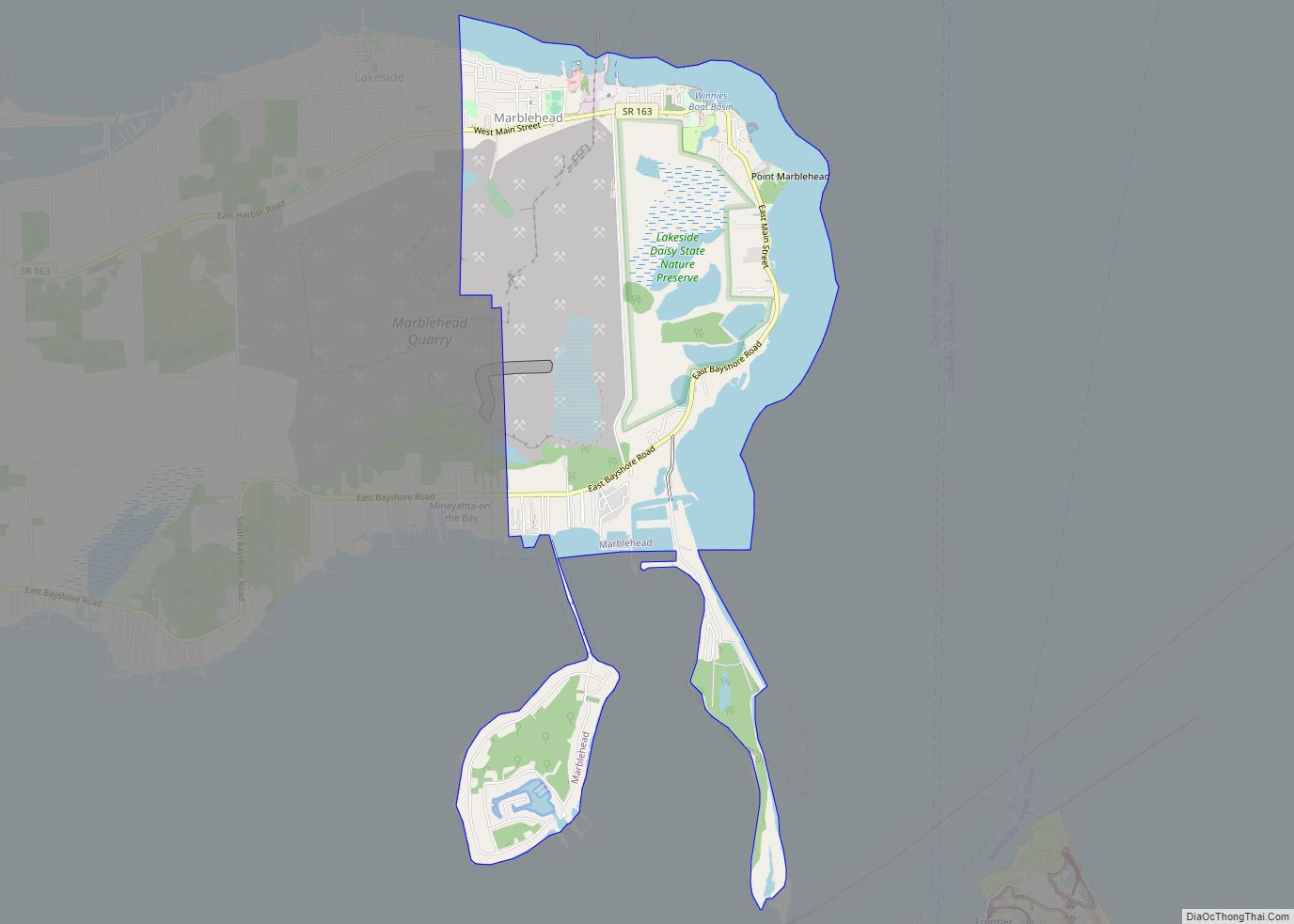
Marblehead is a village in Ottawa County, Ohio, United States. The population was 865 at the 2020 census. It sits at the tip of the Marblehead Peninsula, which divides Lake Erie proper from Sandusky Bay.Marblehead is part of the area that is referred to regionally as Vacationland (which includes nearby Sandusky and the Lake Erie Islands), due to the large number of tourists who flock to the area in the summer months. It remains a popular vacation destination due to its lake frontage, ferry service to the Lake Erie Islands, quality sport fishery, the nearby Lakeside Chautauqua, and the Cedar Point amusement park. Marblehead is also home to the Lakeside Daisy State Nature Preserve, home to the only natural U.S. population of the Lakeside Daisy, an endangered species.
Marblehead is home to the Marblehead Lighthouse, the oldest continuously-operating lighthouse on the American side of the Great Lakes. The lighthouse is a part of the Marblehead Lighthouse State Park located within the village. Marblehead is also home to a United States Coast Guard station. Nearby, in Sandusky Bay, is Johnson’s Island, a former Confederate officer prisoner of war camp during the Civil War.
Marblehead is also commercially important as a major limestone producer. The limestone is mined in nearby quarries and transported by conveyor belt to the Marblehead loading dock, where it is loaded on commercial lake freighters. The blocks of stone used to construct the Stannard Rock Light on Lake Superior were cut at Marblehead and hauled to the site from 1877 to 1881.
| Name: | Marblehead village |
|---|---|
| LSAD Code: | 47 |
| LSAD Description: | village (suffix) |
| State: | Ohio |
| County: | Ottawa County |
| Elevation: | 627 ft (191 m) |
| Total Area: | 4.16 sq mi (10.77 km²) |
| Land Area: | 3.17 sq mi (8.21 km²) |
| Water Area: | 0.99 sq mi (2.56 km²) |
| Total Population: | 865 |
| Population Density: | 272.87/sq mi (105.35/km²) |
| ZIP code: | 43440 |
| Area code: | 419 |
| FIPS code: | 3947502 |
| GNISfeature ID: | 1065723 |
| Website: | www.marbleheadvillageohio.com |
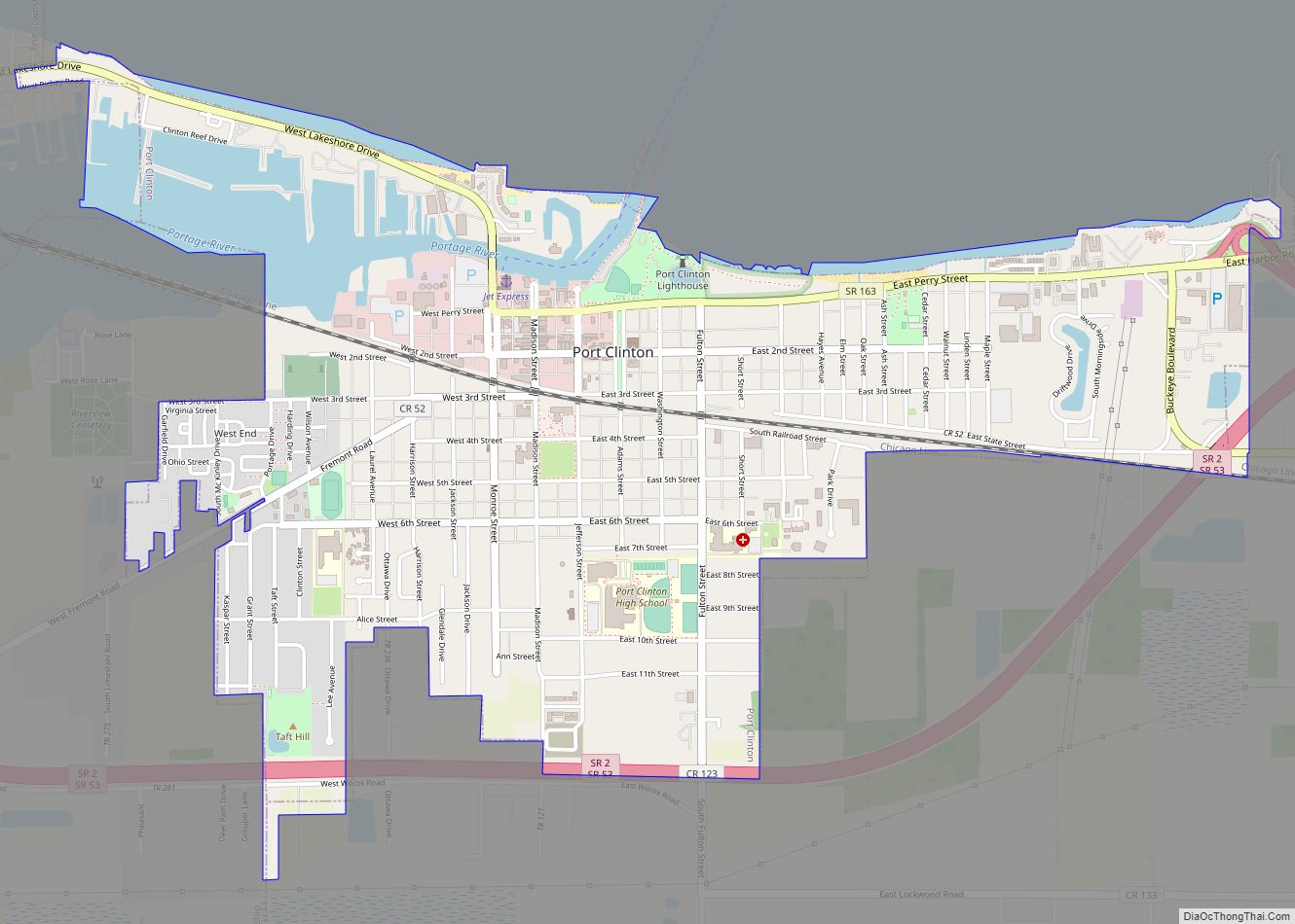
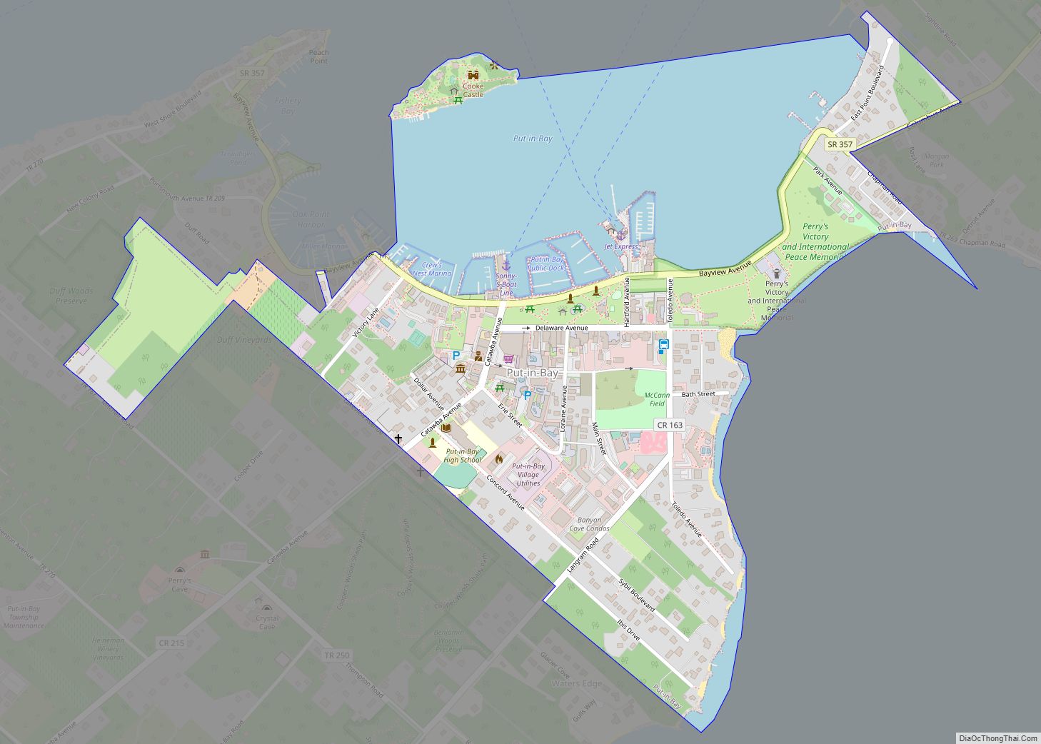
Online Interactive Map
Click on ![]() to view map in "full screen" mode.
to view map in "full screen" mode.
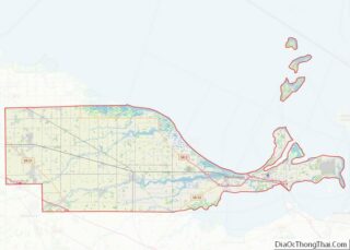
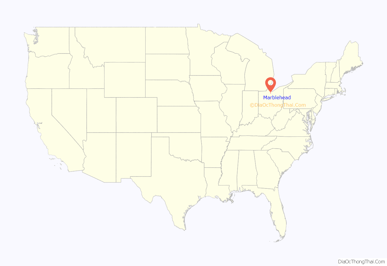
Marblehead location map. Where is Marblehead village?
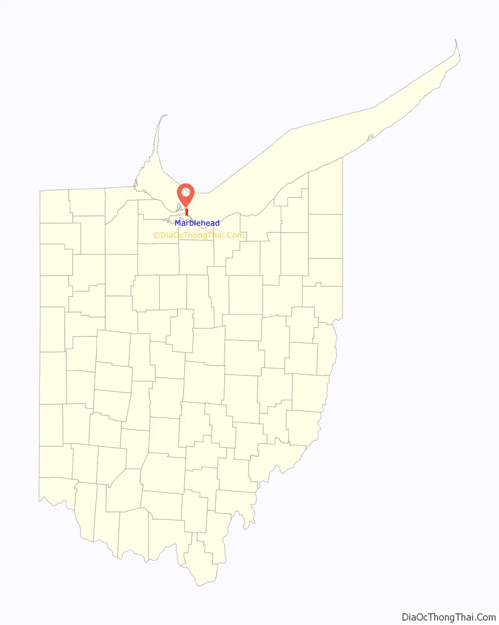
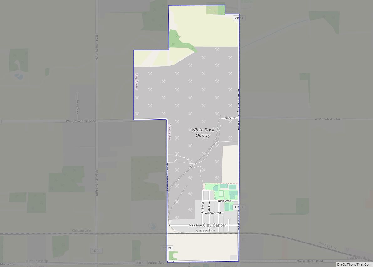
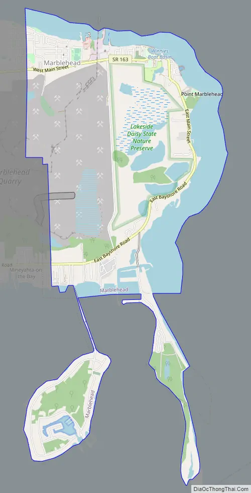
Marblehead Road Map
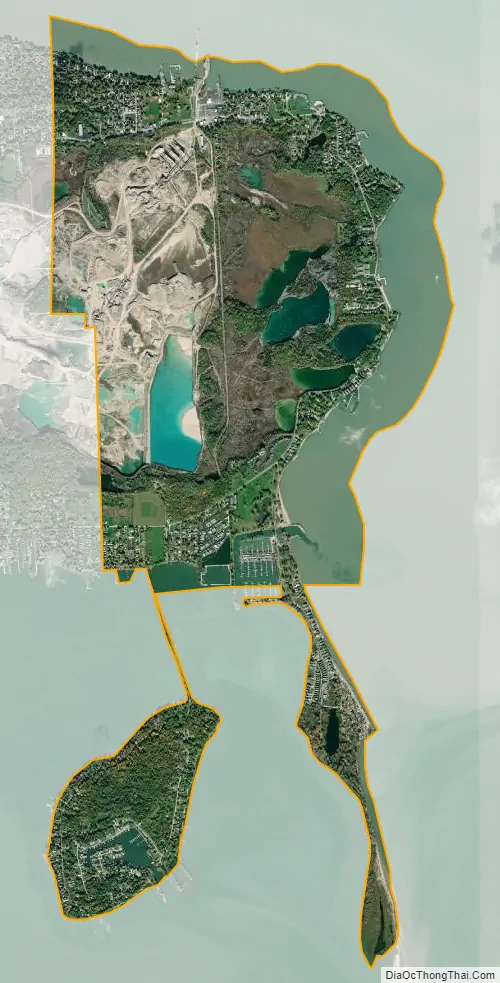
Marblehead city Satellite Map
Geography
Marblehead is located at 41°32′05″N 82°43′45″W / 41.534668°N 82.729119°W / 41.534668; -82.729119.
According to the United States Census Bureau, the village has a total area of 4.31 square miles (11.16 km), of which 3.31 square miles (8.57 km) is land and 1.00 square mile (2.59 km) is water.
Climate
Marblehead, as with much of the Great Lakes region, has a humid continental climate (Köppen Dfa), characterized by four distinct seasons. Lake Erie moderates the climate, especially in late spring and fall, when air and water temperature differences are maximal. Fall temperatures tend to be warmer than the inland areas, while spring temperatures tend to be cooler than inland areas. However, this effect is lessened in the winter because Lake Erie (unlike the other Great Lakes) usually freezes over, coupled with prevailing winds that are often westerly.
The warmest month of the year is July, with an average temperature of 73.2 °F (22.9 °C). January has the lowest average temperature of the year of 24.6 °F (-4.1 °C). The driest month is February, with 1.7 inches (44 mm) of precipitation. With an average of 3.7 inches (94 mm), the most precipitation falls in June.
See also
Map of Ohio State and its subdivision:- Adams
- Allen
- Ashland
- Ashtabula
- Athens
- Auglaize
- Belmont
- Brown
- Butler
- Carroll
- Champaign
- Clark
- Clermont
- Clinton
- Columbiana
- Coshocton
- Crawford
- Cuyahoga
- Darke
- Defiance
- Delaware
- Erie
- Fairfield
- Fayette
- Franklin
- Fulton
- Gallia
- Geauga
- Greene
- Guernsey
- Hamilton
- Hancock
- Hardin
- Harrison
- Henry
- Highland
- Hocking
- Holmes
- Huron
- Jackson
- Jefferson
- Knox
- Lake
- Lake Erie
- Lawrence
- Licking
- Logan
- Lorain
- Lucas
- Madison
- Mahoning
- Marion
- Medina
- Meigs
- Mercer
- Miami
- Monroe
- Montgomery
- Morgan
- Morrow
- Muskingum
- Noble
- Ottawa
- Paulding
- Perry
- Pickaway
- Pike
- Portage
- Preble
- Putnam
- Richland
- Ross
- Sandusky
- Scioto
- Seneca
- Shelby
- Stark
- Summit
- Trumbull
- Tuscarawas
- Union
- Van Wert
- Vinton
- Warren
- Washington
- Wayne
- Williams
- Wood
- Wyandot
- Alabama
- Alaska
- Arizona
- Arkansas
- California
- Colorado
- Connecticut
- Delaware
- District of Columbia
- Florida
- Georgia
- Hawaii
- Idaho
- Illinois
- Indiana
- Iowa
- Kansas
- Kentucky
- Louisiana
- Maine
- Maryland
- Massachusetts
- Michigan
- Minnesota
- Mississippi
- Missouri
- Montana
- Nebraska
- Nevada
- New Hampshire
- New Jersey
- New Mexico
- New York
- North Carolina
- North Dakota
- Ohio
- Oklahoma
- Oregon
- Pennsylvania
- Rhode Island
- South Carolina
- South Dakota
- Tennessee
- Texas
- Utah
- Vermont
- Virginia
- Washington
- West Virginia
- Wisconsin
- Wyoming