Marne is an unincorporated community and census-designated place (CDP) in Licking County, Ohio, United States. As of the 2010 census it had a population of 783.
| Name: | Marne CDP |
|---|---|
| LSAD Code: | 57 |
| LSAD Description: | CDP (suffix) |
| State: | Ohio |
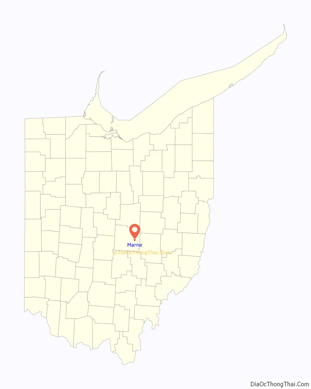
| County: | Licking County |
| Elevation: | 801 ft (244 m) |
| Total Area: | 0.88 sq mi (2.27 km²) |
| Land Area: | 0.88 sq mi (2.27 km²) |
| Water Area: | 0.00 sq mi (0.00 km²) |
| Total Population: | 772 |
| Population Density: | 880.27/sq mi (340.00/km²) |
| FIPS code: | 3947950 |
| GNISfeature ID: | 1061379 |
Online Interactive Map
Click on ![]() to view map in "full screen" mode.
to view map in "full screen" mode.
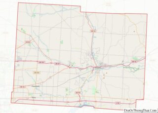
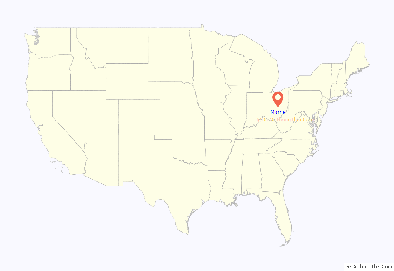
Marne location map. Where is Marne CDP?
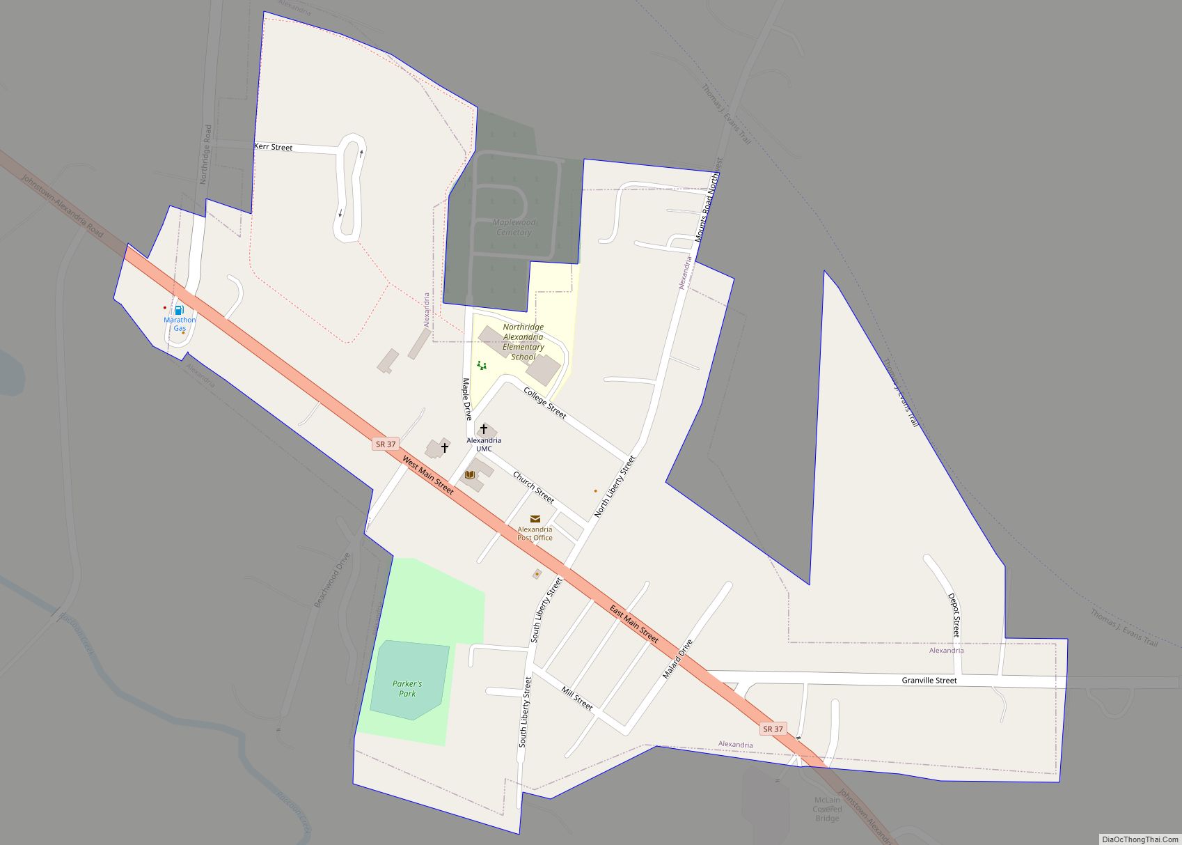
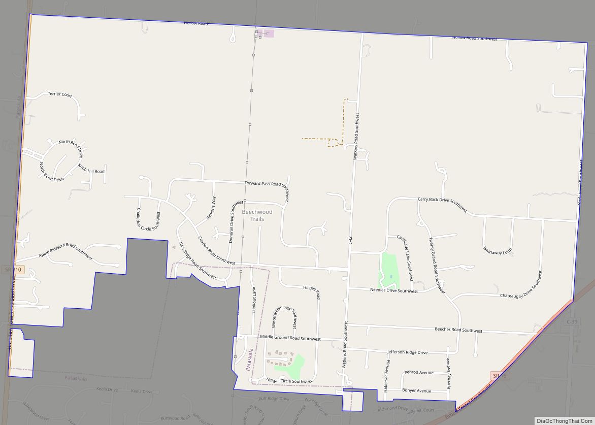
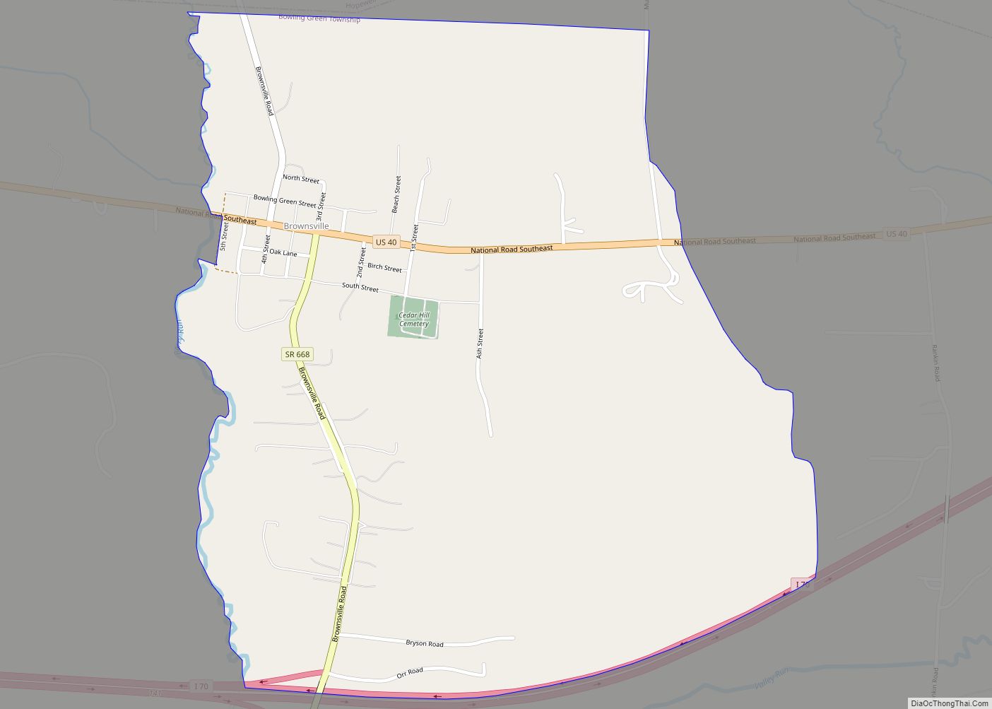
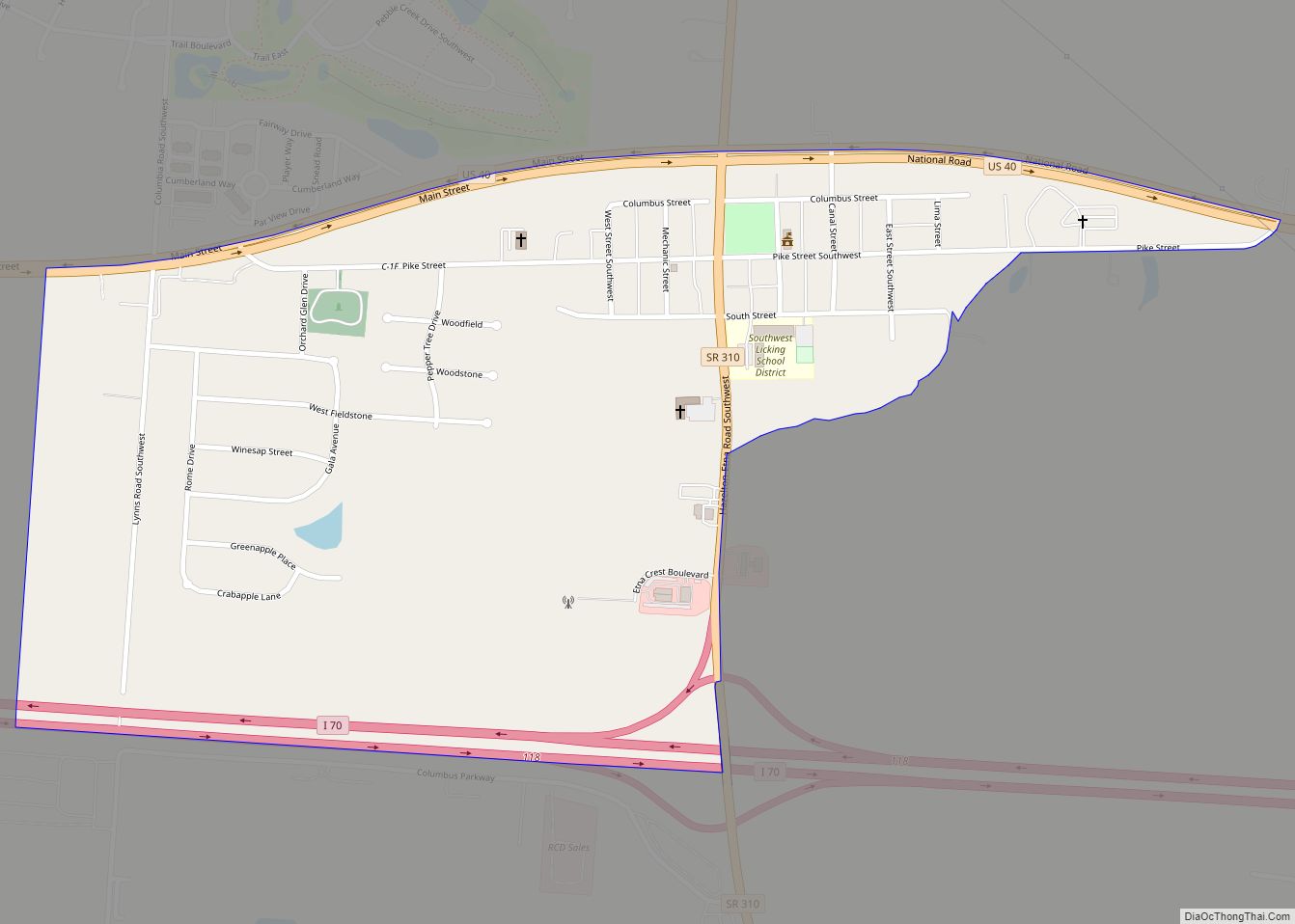
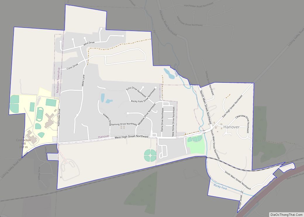
Marne Road Map
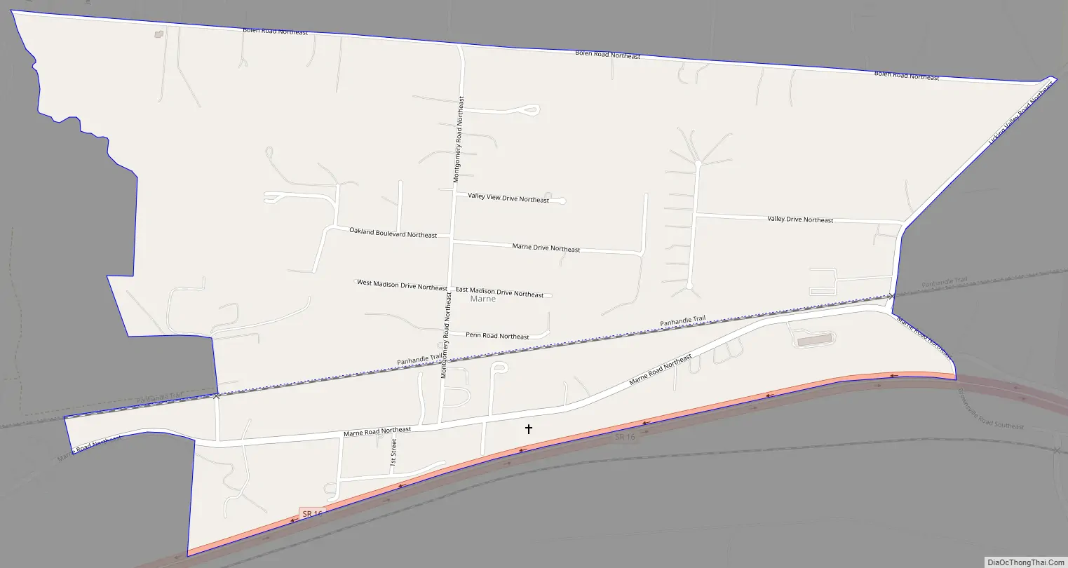
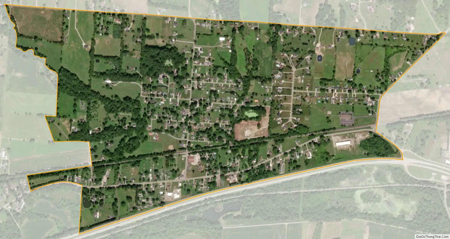
Marne city Satellite Map
Geography
Marne is in eastern Licking County, in the eastern part of Madison Township. Ohio State Route 16 forms the southern edge of the community, leading west 5 miles (8 km) to Newark, the Licking county seat, and northeast 32 miles (51 km) to Coshocton. Marne is in the valley of the Licking River, which passes to the south of State Route 16. The Licking is an east-flowing tributary of the Muskingum River and part of the Ohio River watershed.
According to the U.S. Census Bureau, the Marne CDP has a total area of 0.9 square miles (2.3 km), of which 0.9 acres (3,568 m), or 0.16%, are water.
See also
Map of Ohio State and its subdivision:- Adams
- Allen
- Ashland
- Ashtabula
- Athens
- Auglaize
- Belmont
- Brown
- Butler
- Carroll
- Champaign
- Clark
- Clermont
- Clinton
- Columbiana
- Coshocton
- Crawford
- Cuyahoga
- Darke
- Defiance
- Delaware
- Erie
- Fairfield
- Fayette
- Franklin
- Fulton
- Gallia
- Geauga
- Greene
- Guernsey
- Hamilton
- Hancock
- Hardin
- Harrison
- Henry
- Highland
- Hocking
- Holmes
- Huron
- Jackson
- Jefferson
- Knox
- Lake
- Lake Erie
- Lawrence
- Licking
- Logan
- Lorain
- Lucas
- Madison
- Mahoning
- Marion
- Medina
- Meigs
- Mercer
- Miami
- Monroe
- Montgomery
- Morgan
- Morrow
- Muskingum
- Noble
- Ottawa
- Paulding
- Perry
- Pickaway
- Pike
- Portage
- Preble
- Putnam
- Richland
- Ross
- Sandusky
- Scioto
- Seneca
- Shelby
- Stark
- Summit
- Trumbull
- Tuscarawas
- Union
- Van Wert
- Vinton
- Warren
- Washington
- Wayne
- Williams
- Wood
- Wyandot
- Alabama
- Alaska
- Arizona
- Arkansas
- California
- Colorado
- Connecticut
- Delaware
- District of Columbia
- Florida
- Georgia
- Hawaii
- Idaho
- Illinois
- Indiana
- Iowa
- Kansas
- Kentucky
- Louisiana
- Maine
- Maryland
- Massachusetts
- Michigan
- Minnesota
- Mississippi
- Missouri
- Montana
- Nebraska
- Nevada
- New Hampshire
- New Jersey
- New Mexico
- New York
- North Carolina
- North Dakota
- Ohio
- Oklahoma
- Oregon
- Pennsylvania
- Rhode Island
- South Carolina
- South Dakota
- Tennessee
- Texas
- Utah
- Vermont
- Virginia
- Washington
- West Virginia
- Wisconsin
- Wyoming