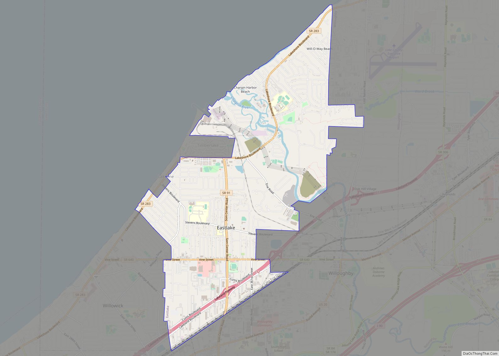
Mentor-on-the-Lake is a city in Lake County, Ohio, United States. The population was 7,131 at the 2020 census.
| Name: | Mentor-on-the-Lake city |
|---|---|
| LSAD Code: | 25 |
| LSAD Description: | city (suffix) |
| State: | Ohio |
| County: | Lake County |
| Elevation: | 620 ft (189 m) |
| Total Area: | 1.65 sq mi (4.28 km²) |
| Land Area: | 1.61 sq mi (4.18 km²) |
| Water Area: | 0.04 sq mi (0.10 km²) |
| Total Population: | 7,131 |
| Population Density: | 4,420.95/sq mi (1,706.79/km²) |
| ZIP code: | 44060 |
| Area code: | 440 |
| FIPS code: | 3949098 |
| GNISfeature ID: | 1056421 |
| Website: | www.citymol.org |
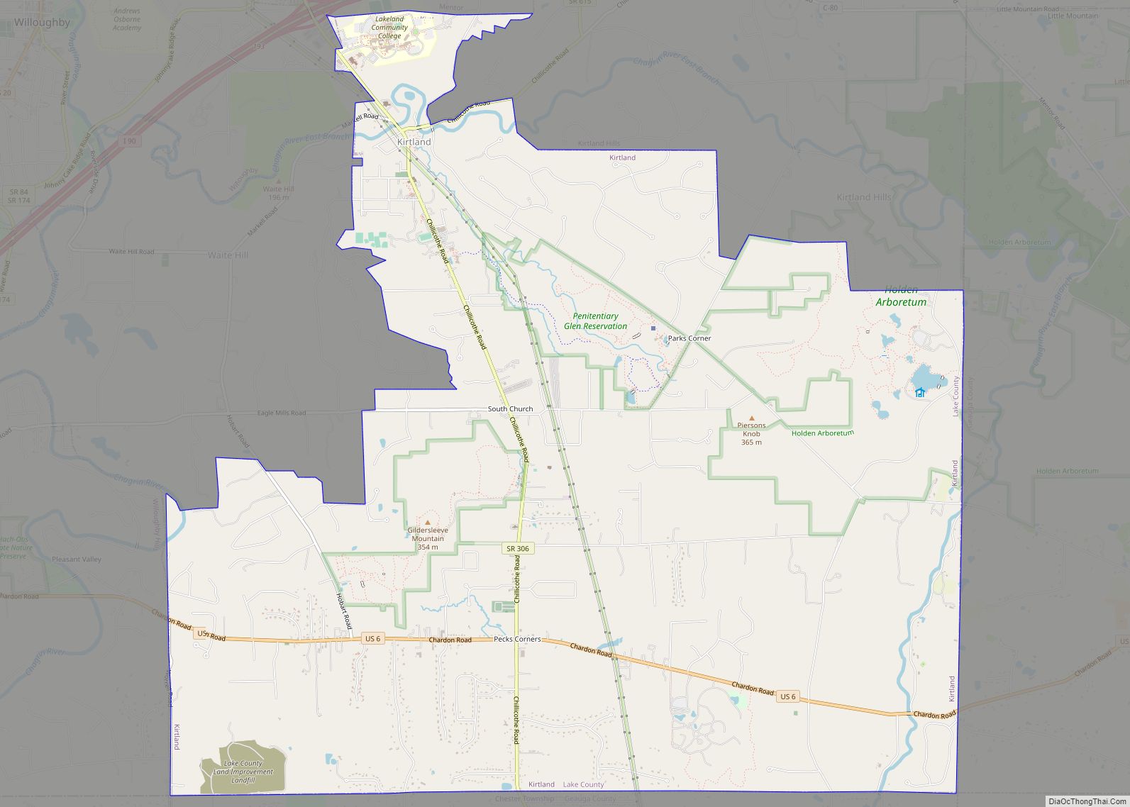
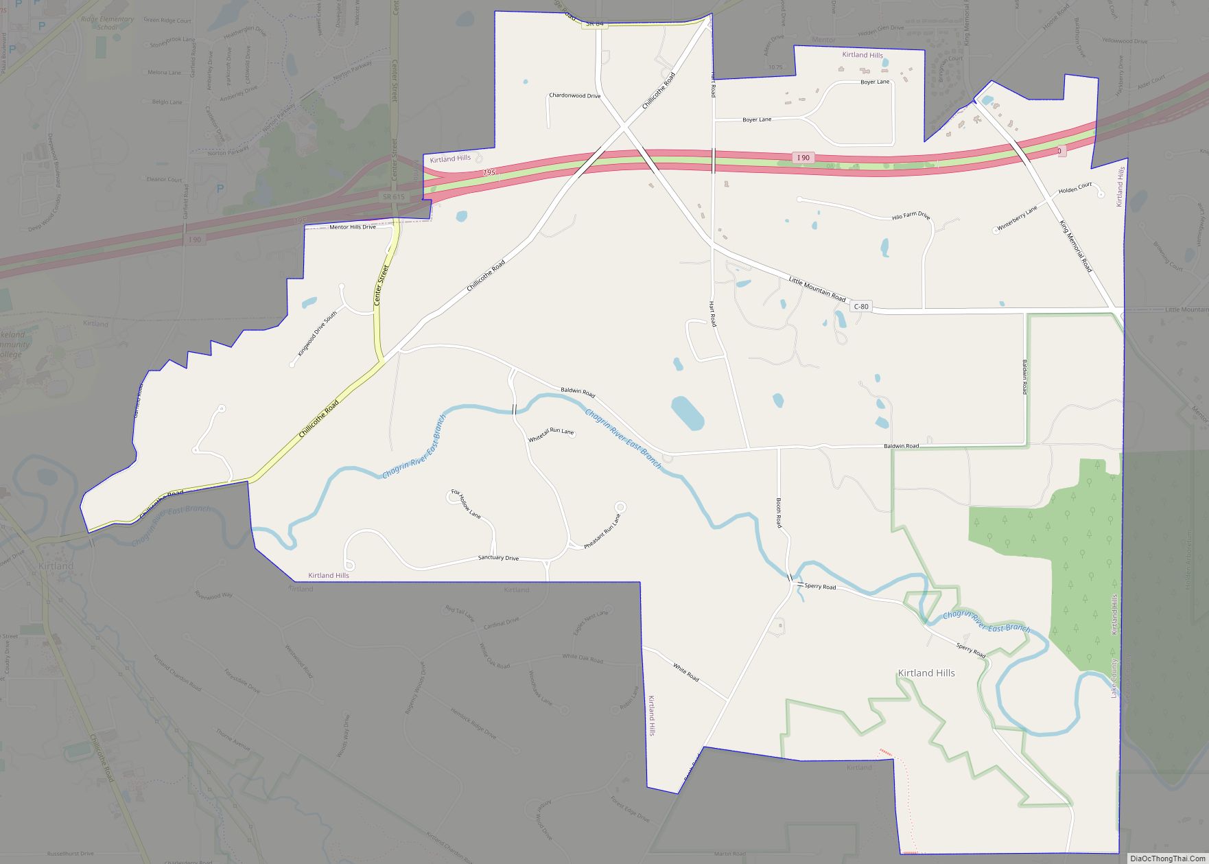
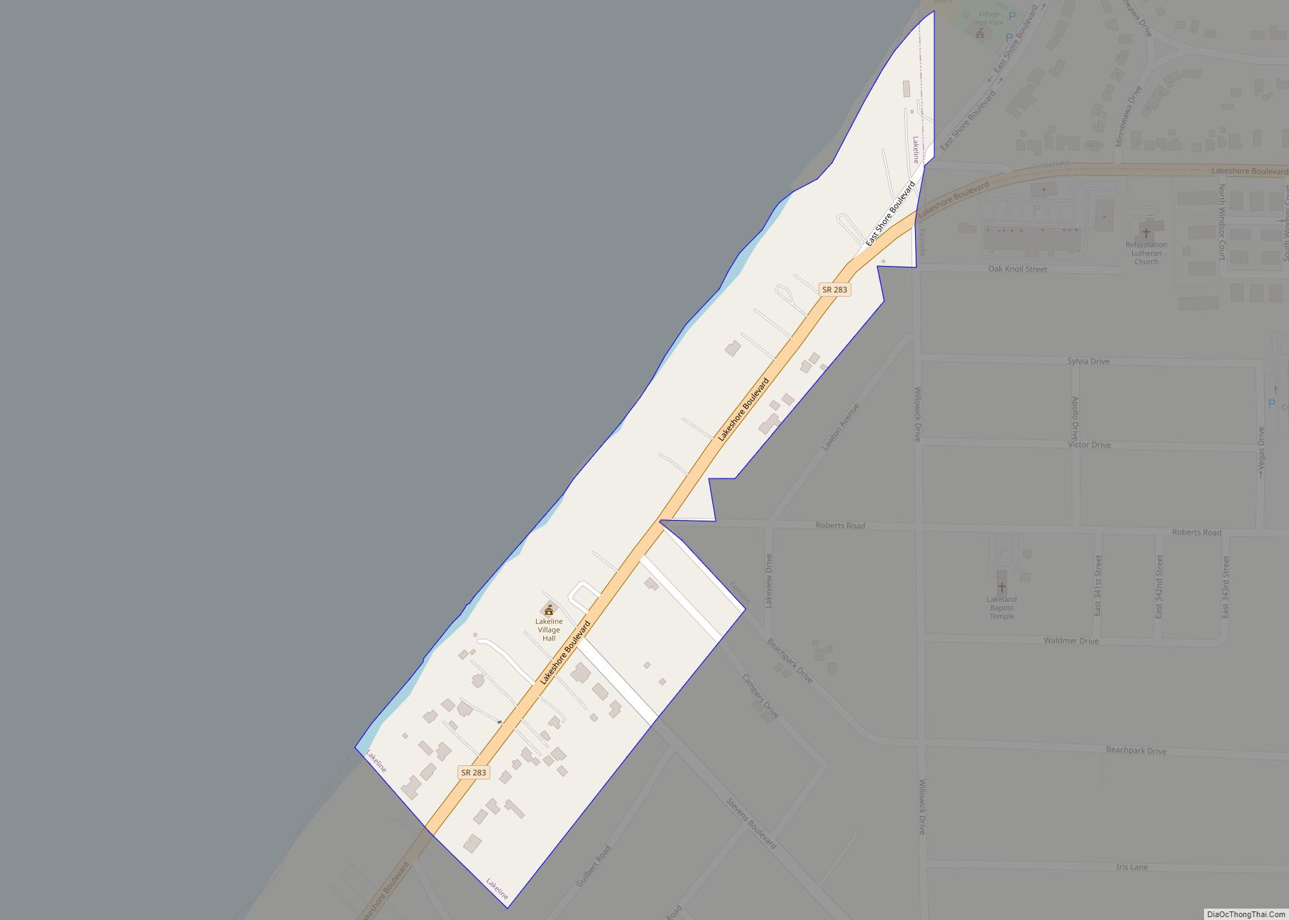
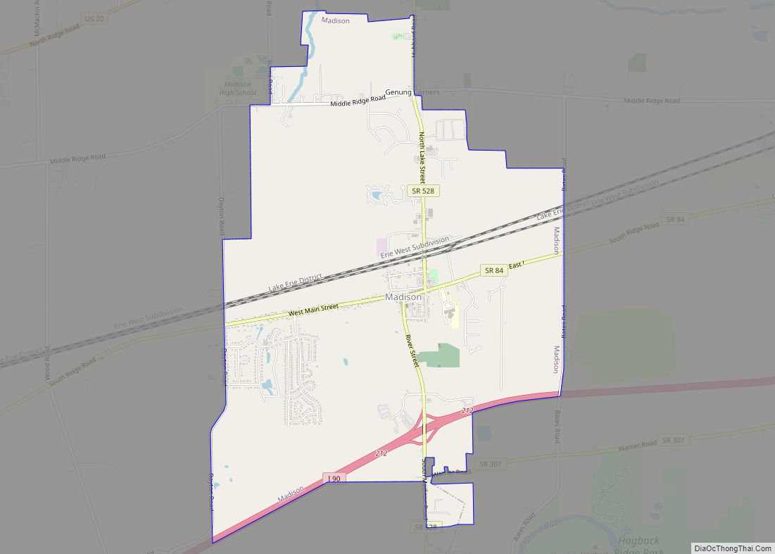
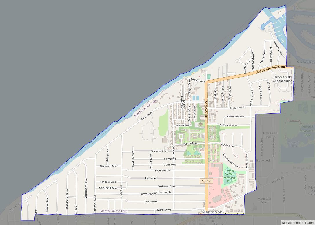
Online Interactive Map
Click on ![]() to view map in "full screen" mode.
to view map in "full screen" mode.
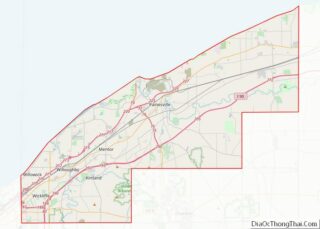
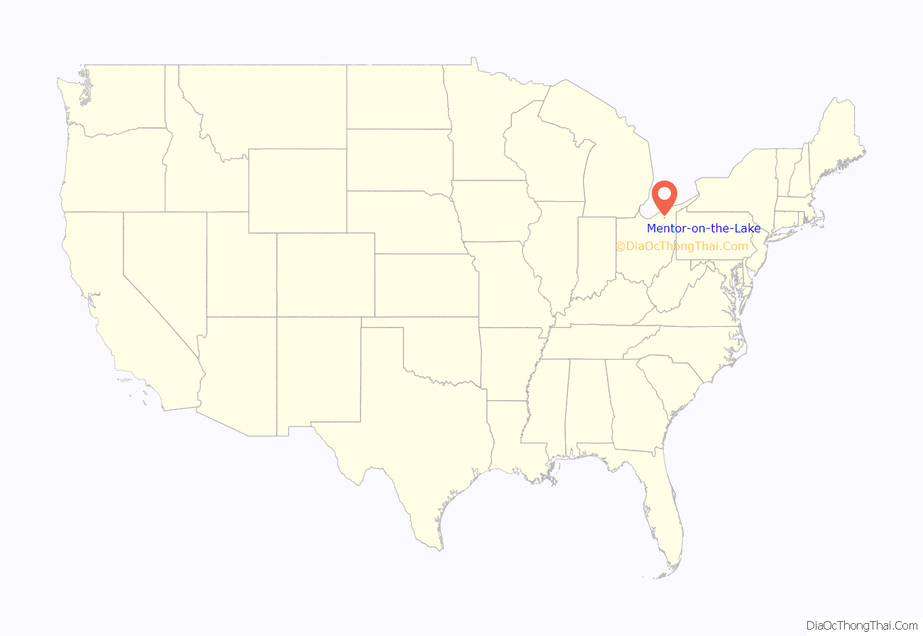
Mentor-on-the-Lake location map. Where is Mentor-on-the-Lake city?
History
Originally part of Mentor Township, the village was established October 22, 1924. The U.S. Census for 1970 recorded the official population as being over 5,000 and thus it became an incorporated city on February 12, 1971.
A vast majority of the land that comprises Mentor-On-The-Lake was originally owned and deeded as the Dickey-Moore tract and extended all the way south beyond U.S. Route 20 in the city of Mentor. A remnant of this era is a property known as Mooreland which was once owned by the Moore family and is situated on land that now houses Lakeland Community College.
Mentor-on-the-Lake shares many services with the nearby city of Mentor, including postal service.
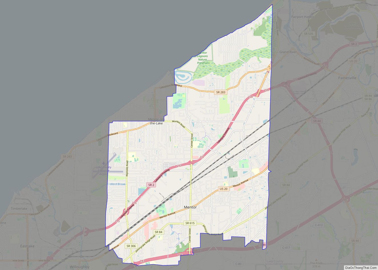
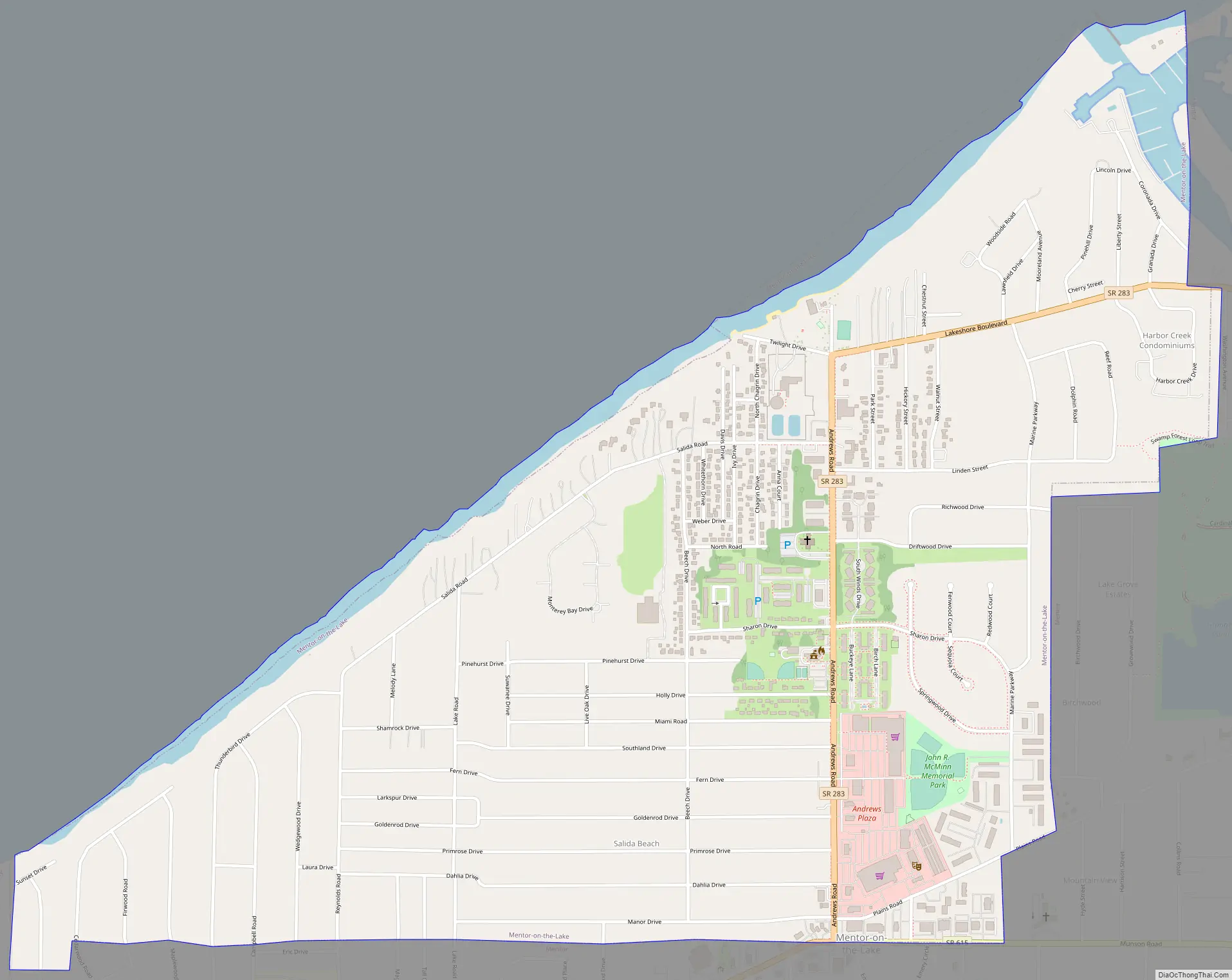
Mentor-on-the-Lake Road Map
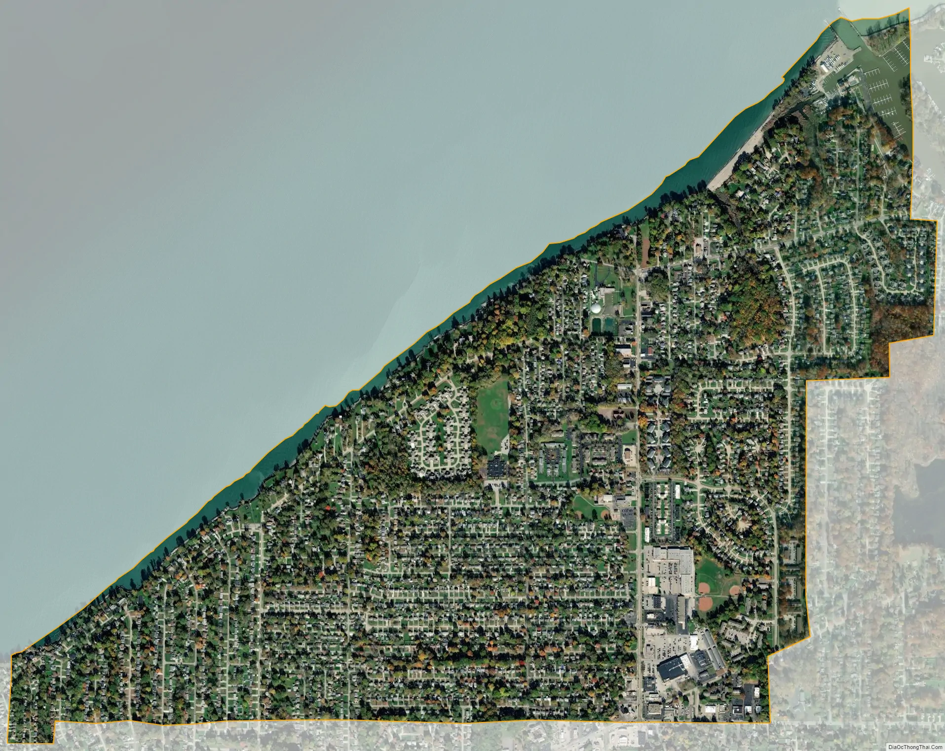
Mentor-on-the-Lake city Satellite Map
Geography
Mentor-on-the-Lake is located at 41°42′49″N 81°21′53″W / 41.71361°N 81.36472°W / 41.71361; -81.36472 (41.713746, -81.364702).
According to the United States Census Bureau, the city has a total area of 1.65 square miles (4.27 km), of which 1.61 square miles (4.17 km) is land and 0.04 square miles (0.10 km) is water.
See also
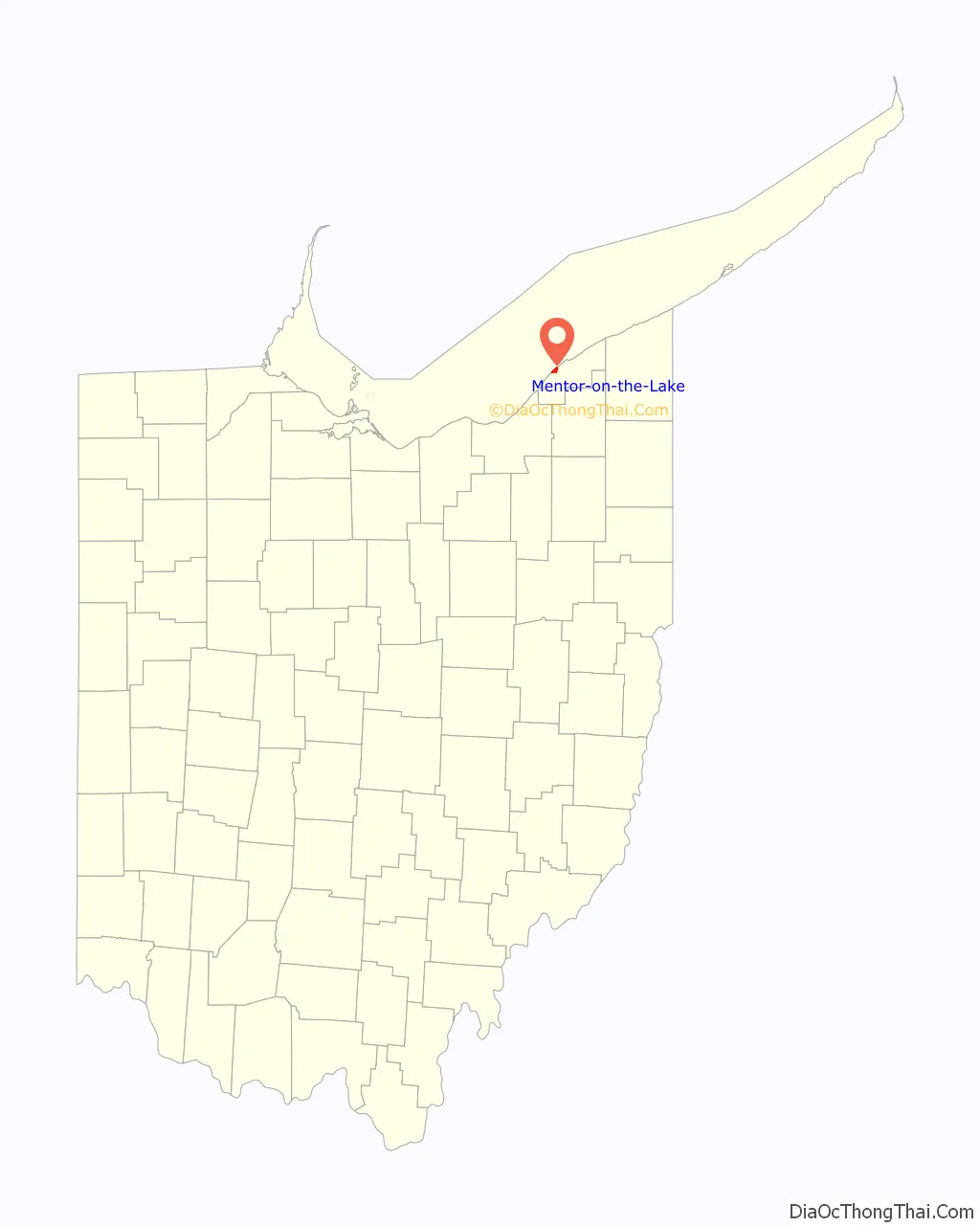
Map of Ohio State and its subdivision:- Adams
- Allen
- Ashland
- Ashtabula
- Athens
- Auglaize
- Belmont
- Brown
- Butler
- Carroll
- Champaign
- Clark
- Clermont
- Clinton
- Columbiana
- Coshocton
- Crawford
- Cuyahoga
- Darke
- Defiance
- Delaware
- Erie
- Fairfield
- Fayette
- Franklin
- Fulton
- Gallia
- Geauga
- Greene
- Guernsey
- Hamilton
- Hancock
- Hardin
- Harrison
- Henry
- Highland
- Hocking
- Holmes
- Huron
- Jackson
- Jefferson
- Knox
- Lake
- Lake Erie
- Lawrence
- Licking
- Logan
- Lorain
- Lucas
- Madison
- Mahoning
- Marion
- Medina
- Meigs
- Mercer
- Miami
- Monroe
- Montgomery
- Morgan
- Morrow
- Muskingum
- Noble
- Ottawa
- Paulding
- Perry
- Pickaway
- Pike
- Portage
- Preble
- Putnam
- Richland
- Ross
- Sandusky
- Scioto
- Seneca
- Shelby
- Stark
- Summit
- Trumbull
- Tuscarawas
- Union
- Van Wert
- Vinton
- Warren
- Washington
- Wayne
- Williams
- Wood
- Wyandot
- Alabama
- Alaska
- Arizona
- Arkansas
- California
- Colorado
- Connecticut
- Delaware
- District of Columbia
- Florida
- Georgia
- Hawaii
- Idaho
- Illinois
- Indiana
- Iowa
- Kansas
- Kentucky
- Louisiana
- Maine
- Maryland
- Massachusetts
- Michigan
- Minnesota
- Mississippi
- Missouri
- Montana
- Nebraska
- Nevada
- New Hampshire
- New Jersey
- New Mexico
- New York
- North Carolina
- North Dakota
- Ohio
- Oklahoma
- Oregon
- Pennsylvania
- Rhode Island
- South Carolina
- South Dakota
- Tennessee
- Texas
- Utah
- Vermont
- Virginia
- Washington
- West Virginia
- Wisconsin
- Wyoming