Millville is a village in Butler County, Ohio, United States. The population was 634 at the 2020 census. Millville sits between Oxford, Ohio and Cincinnati, Ohio along U.S. Route 27.
Millville is part of Greater Cincinnati, just west of Hamilton, Ohio.
| Name: | Millville village |
|---|---|
| LSAD Code: | 47 |
| LSAD Description: | village (suffix) |
| State: | Ohio |
| County: | Butler County |
| Elevation: | 620 ft (189 m) |
| Total Area: | 0.58 sq mi (1.51 km²) |
| Land Area: | 0.58 sq mi (1.51 km²) |
| Water Area: | 0.00 sq mi (0.00 km²) |
| Total Population: | 634 |
| Population Density: | 1,087.48/sq mi (419.65/km²) |
| ZIP code: | 45013 |
| Area code: | 513 |
| FIPS code: | 3950540 |
| GNISfeature ID: | 1061526 |
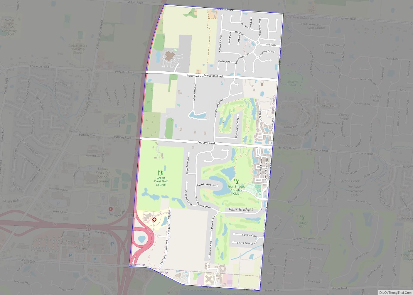
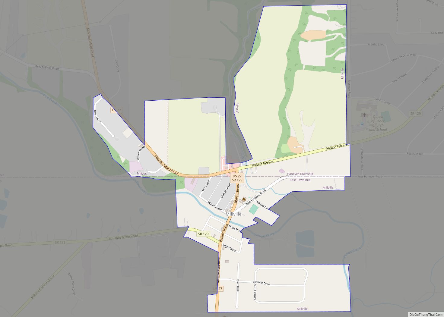
Online Interactive Map
Click on ![]() to view map in "full screen" mode.
to view map in "full screen" mode.
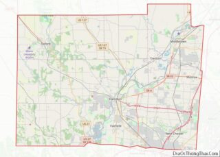
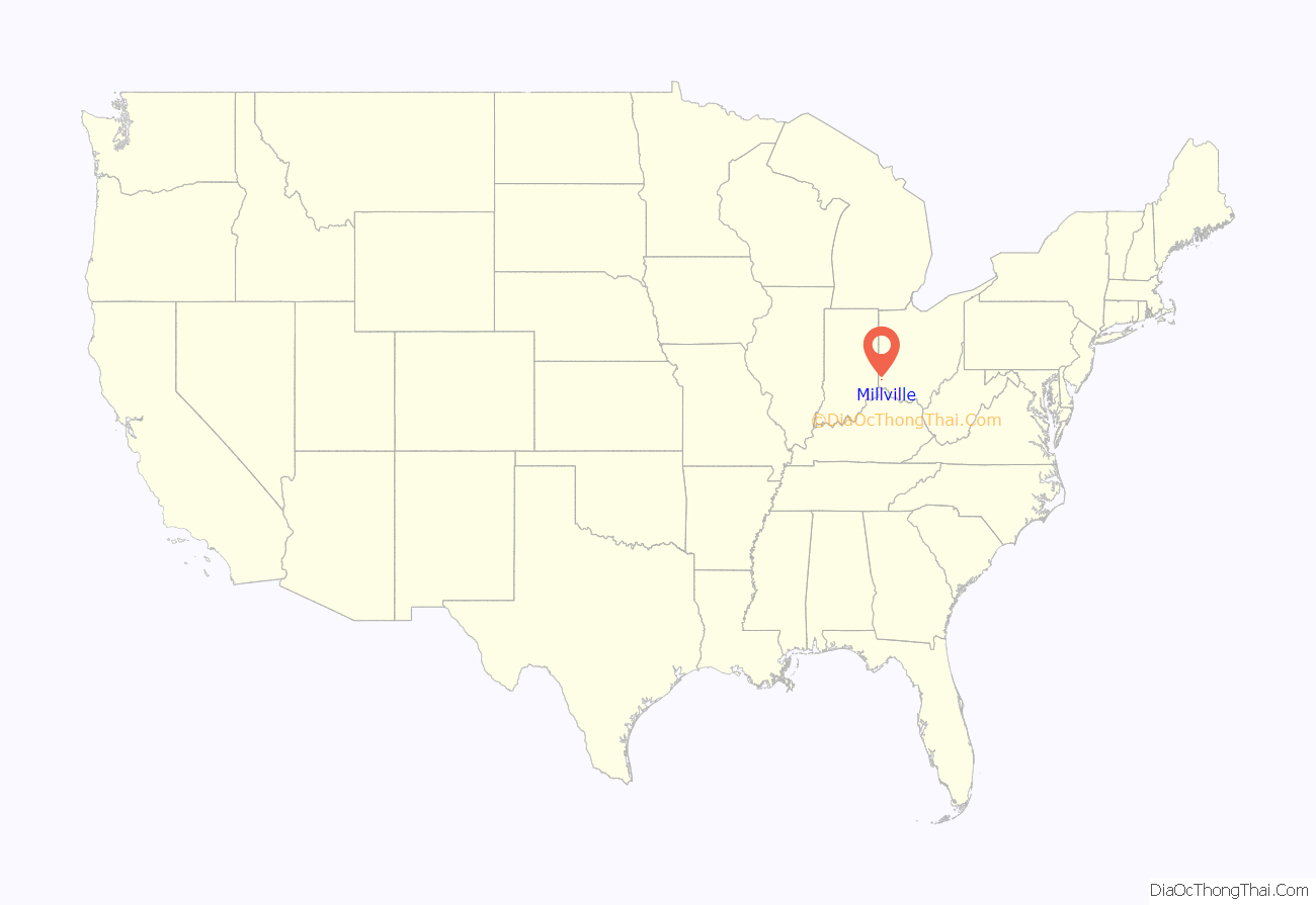
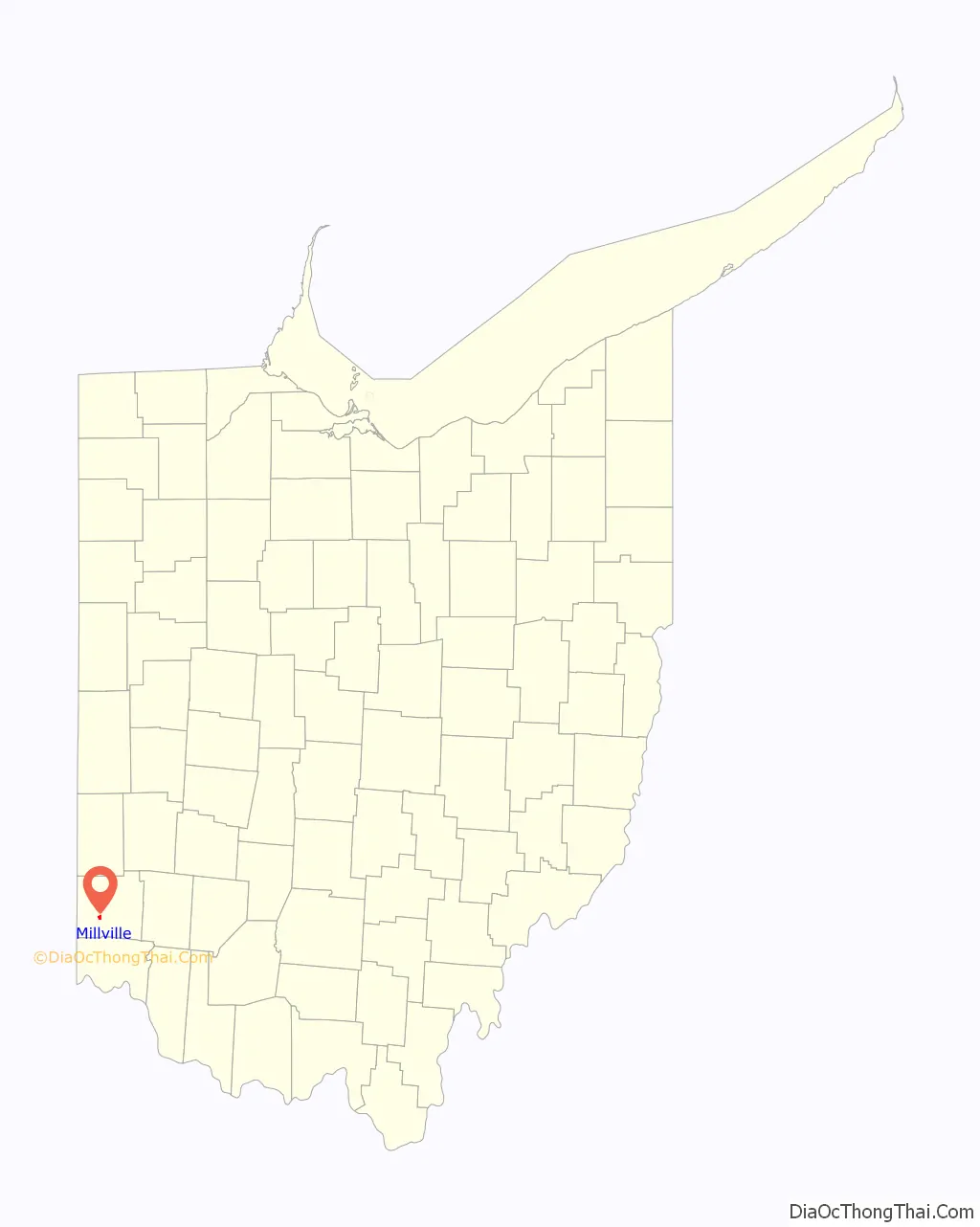
Millville location map. Where is Millville village?
History
The village was established in 1815 by Joseph Van Horn, who opened a grist mill there about 1805.
Approximately 5.5 miles to the north is the historic Presbyterian cemetery that includes graves of early pioneers including some who served in the revolutionary war. There are many graves of families with the name Ross, the name of nearby town Ross, Ohio.
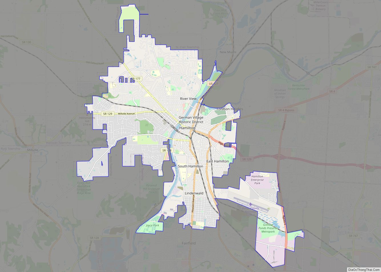
Millville Road Map
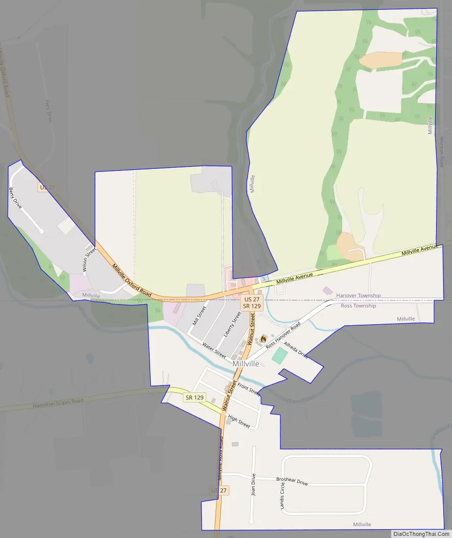
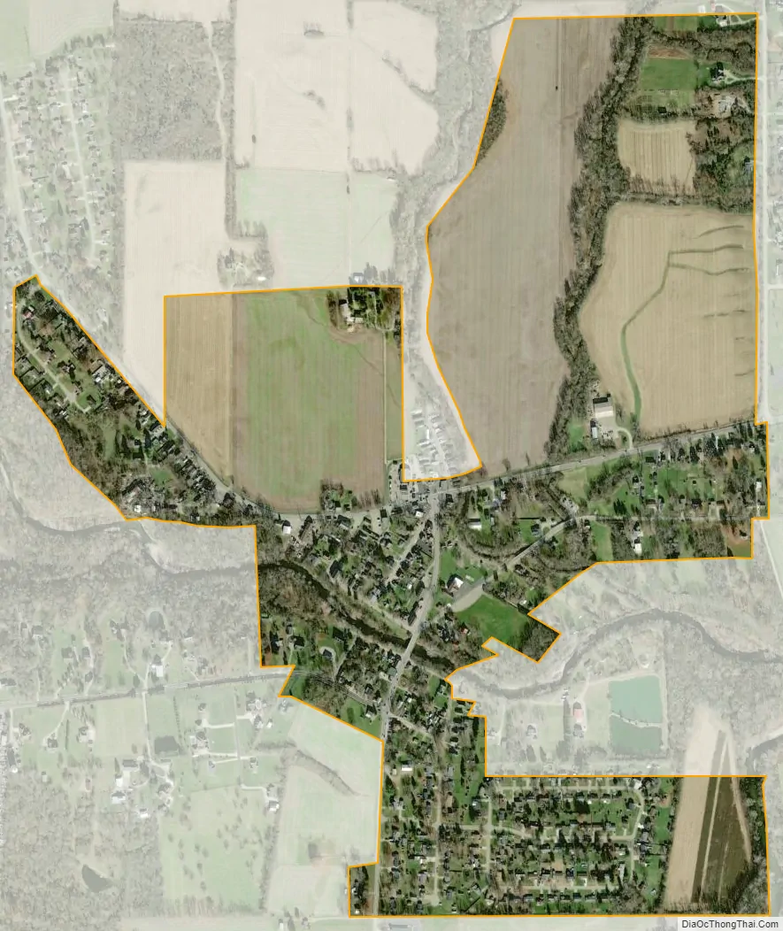
Millville city Satellite Map
Geography
Millville is located at 39°23′22″N 84°39′16″W / 39.38944°N 84.65444°W / 39.38944; -84.65444 (39.389327, -84.654500).
According to the United States Census Bureau, the village has a total area of 0.58 square miles (1.50 km), all land.
See also
Map of Ohio State and its subdivision:- Adams
- Allen
- Ashland
- Ashtabula
- Athens
- Auglaize
- Belmont
- Brown
- Butler
- Carroll
- Champaign
- Clark
- Clermont
- Clinton
- Columbiana
- Coshocton
- Crawford
- Cuyahoga
- Darke
- Defiance
- Delaware
- Erie
- Fairfield
- Fayette
- Franklin
- Fulton
- Gallia
- Geauga
- Greene
- Guernsey
- Hamilton
- Hancock
- Hardin
- Harrison
- Henry
- Highland
- Hocking
- Holmes
- Huron
- Jackson
- Jefferson
- Knox
- Lake
- Lake Erie
- Lawrence
- Licking
- Logan
- Lorain
- Lucas
- Madison
- Mahoning
- Marion
- Medina
- Meigs
- Mercer
- Miami
- Monroe
- Montgomery
- Morgan
- Morrow
- Muskingum
- Noble
- Ottawa
- Paulding
- Perry
- Pickaway
- Pike
- Portage
- Preble
- Putnam
- Richland
- Ross
- Sandusky
- Scioto
- Seneca
- Shelby
- Stark
- Summit
- Trumbull
- Tuscarawas
- Union
- Van Wert
- Vinton
- Warren
- Washington
- Wayne
- Williams
- Wood
- Wyandot
- Alabama
- Alaska
- Arizona
- Arkansas
- California
- Colorado
- Connecticut
- Delaware
- District of Columbia
- Florida
- Georgia
- Hawaii
- Idaho
- Illinois
- Indiana
- Iowa
- Kansas
- Kentucky
- Louisiana
- Maine
- Maryland
- Massachusetts
- Michigan
- Minnesota
- Mississippi
- Missouri
- Montana
- Nebraska
- Nevada
- New Hampshire
- New Jersey
- New Mexico
- New York
- North Carolina
- North Dakota
- Ohio
- Oklahoma
- Oregon
- Pennsylvania
- Rhode Island
- South Carolina
- South Dakota
- Tennessee
- Texas
- Utah
- Vermont
- Virginia
- Washington
- West Virginia
- Wisconsin
- Wyoming