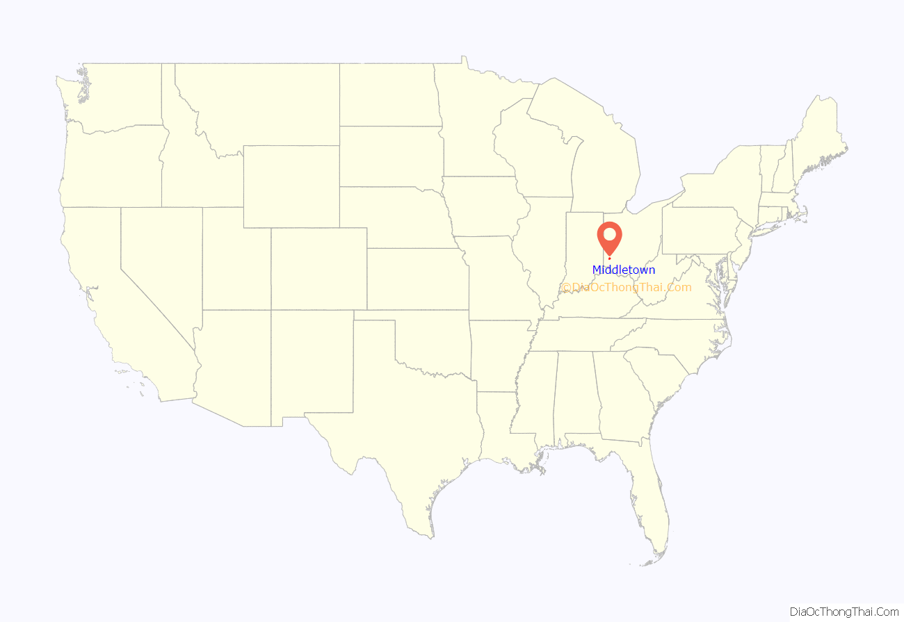
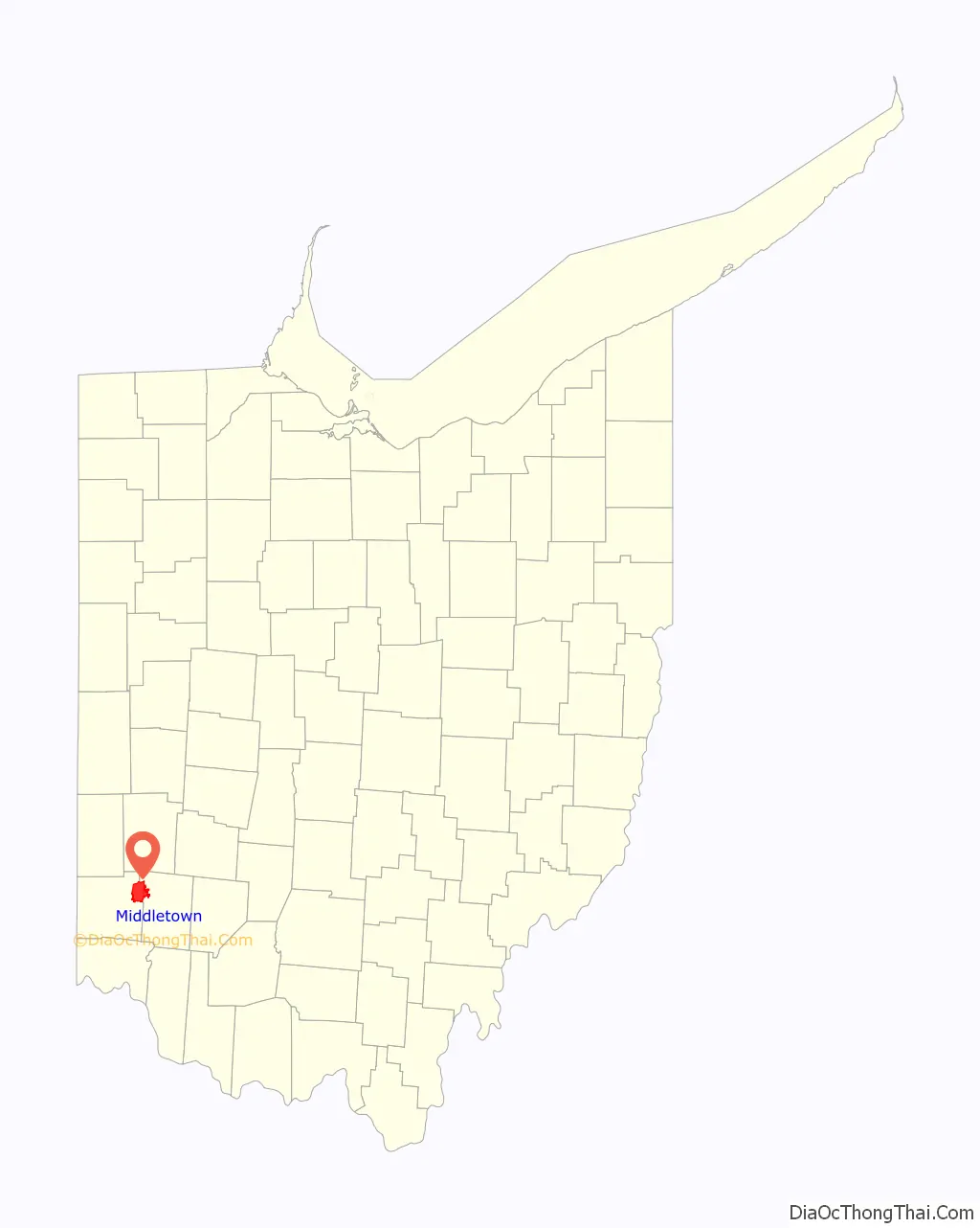
Middletown is a city located in Butler and Warren counties in the southwestern part of the U.S. state of Ohio, about 35 miles (47 km) north of Cincinnati. The population as of the 2020 census was 50,987. It is part of the Cincinnati metropolitan area.
Formerly in Lemon, Turtlecreek, and Franklin townships, Middletown was incorporated by the Ohio General Assembly on February 11, 1833, and became a city in 1886. The city was the home of AK Steel Holding Corporation (formerly Armco), a major steel works founded in 1900. Although offices were moved to nearby West Chester Township in 2007, the AK Steel factory is still in Middletown. Middletown is also home to Hook Field Municipal Airport (airport code MWO), which was formerly served by commercial airlines but is currently only for general aviation. A regional campus of Miami University is located in Middletown. In 1957, Middletown was designated as an All-America City.
| Name: | Middletown city |
|---|---|
| LSAD Code: | 25 |
| LSAD Description: | city (suffix) |
| State: | Ohio |
| County: | Butler County, Warren County |
| Elevation: | 656 ft (200 m) |
| Total Area: | 26.46 sq mi (68.54 km²) |
| Land Area: | 26.14 sq mi (67.70 km²) |
| Water Area: | 0.32 sq mi (0.84 km²) |
| Total Population: | 50,987 |
| Population Density: | 1,950.61/sq mi (753.13/km²) |
| ZIP code: | 45042-45044 |
| Area code: | 513 |
| FIPS code: | 3949840 |
| GNISfeature ID: | 1061519 |
| Website: | https://www.cityofmiddletown.org/ |
Online Interactive Map
Click on ![]() to view map in "full screen" mode.
to view map in "full screen" mode.
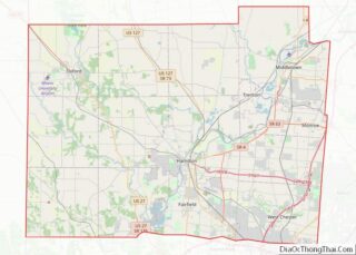
Middletown location map. Where is Middletown city?
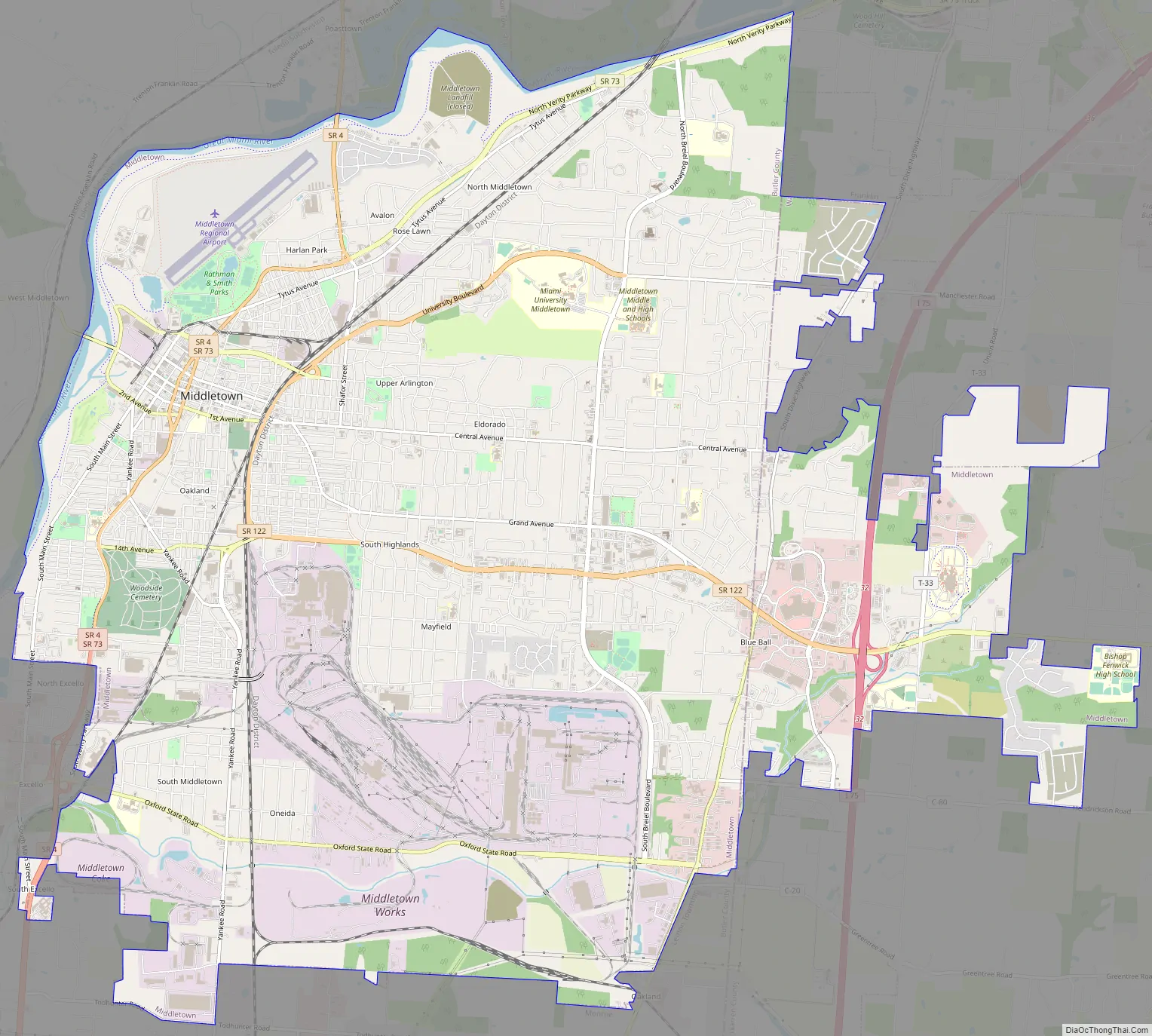
Middletown Road Map
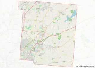
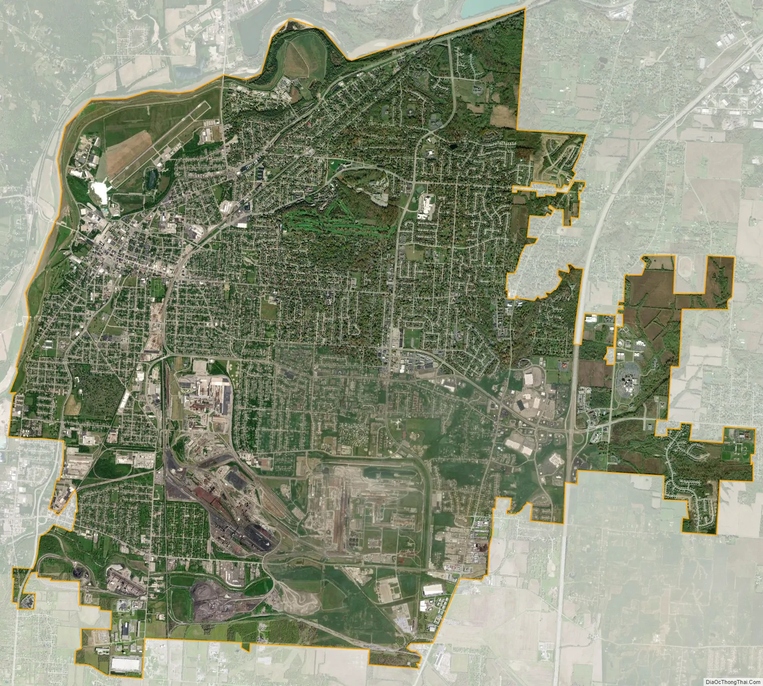
Middletown city Satellite Map
Geography
Middletown is located at 39°30′N 84°23′W (39.5060, -84.3759).
According to the United States Census Bureau, the city has a total area of 26.43 square miles (68.45 km), of which 26.19 square miles (67.83 km) is land and 0.24 square miles (0.62 km) is water.
Middletown adjoins the Great Miami River. Middletown also borders the cities of Franklin, Monroe, Trenton, and Liberty and Madison Townships.
See also
Map of Ohio State and its subdivision:- Adams
- Allen
- Ashland
- Ashtabula
- Athens
- Auglaize
- Belmont
- Brown
- Butler
- Carroll
- Champaign
- Clark
- Clermont
- Clinton
- Columbiana
- Coshocton
- Crawford
- Cuyahoga
- Darke
- Defiance
- Delaware
- Erie
- Fairfield
- Fayette
- Franklin
- Fulton
- Gallia
- Geauga
- Greene
- Guernsey
- Hamilton
- Hancock
- Hardin
- Harrison
- Henry
- Highland
- Hocking
- Holmes
- Huron
- Jackson
- Jefferson
- Knox
- Lake
- Lake Erie
- Lawrence
- Licking
- Logan
- Lorain
- Lucas
- Madison
- Mahoning
- Marion
- Medina
- Meigs
- Mercer
- Miami
- Monroe
- Montgomery
- Morgan
- Morrow
- Muskingum
- Noble
- Ottawa
- Paulding
- Perry
- Pickaway
- Pike
- Portage
- Preble
- Putnam
- Richland
- Ross
- Sandusky
- Scioto
- Seneca
- Shelby
- Stark
- Summit
- Trumbull
- Tuscarawas
- Union
- Van Wert
- Vinton
- Warren
- Washington
- Wayne
- Williams
- Wood
- Wyandot
- Alabama
- Alaska
- Arizona
- Arkansas
- California
- Colorado
- Connecticut
- Delaware
- District of Columbia
- Florida
- Georgia
- Hawaii
- Idaho
- Illinois
- Indiana
- Iowa
- Kansas
- Kentucky
- Louisiana
- Maine
- Maryland
- Massachusetts
- Michigan
- Minnesota
- Mississippi
- Missouri
- Montana
- Nebraska
- Nevada
- New Hampshire
- New Jersey
- New Mexico
- New York
- North Carolina
- North Dakota
- Ohio
- Oklahoma
- Oregon
- Pennsylvania
- Rhode Island
- South Carolina
- South Dakota
- Tennessee
- Texas
- Utah
- Vermont
- Virginia
- Washington
- West Virginia
- Wisconsin
- Wyoming