Mineral Ridge is an unincorporated community and census-designated place in southern Trumbull and northern Mahoning counties in the U.S. state of Ohio. The population was 3,951 at the 2020 census. It is a suburb of the Youngstown–Warren metropolitan area. Mineral Ridge was named for valuable coal deposits near the original town site.
| Name: | Mineral Ridge CDP |
|---|---|
| LSAD Code: | 57 |
| LSAD Description: | CDP (suffix) |
| State: | Ohio |
| County: | Mahoning County, Trumbull County |
| Elevation: | 1,004 ft (306 m) |
| Total Area: | 3.58 sq mi (9.28 km²) |
| Land Area: | 3.56 sq mi (9.23 km²) |
| Water Area: | 0.02 sq mi (0.05 km²) |
| Total Population: | 3,951 |
| Population Density: | 1,108.90/sq mi (428.12/km²) |
| ZIP code: | 44440 |
| Area code: | 234/330 |
| FIPS code: | 3950778 |
| GNISfeature ID: | 1065031 |
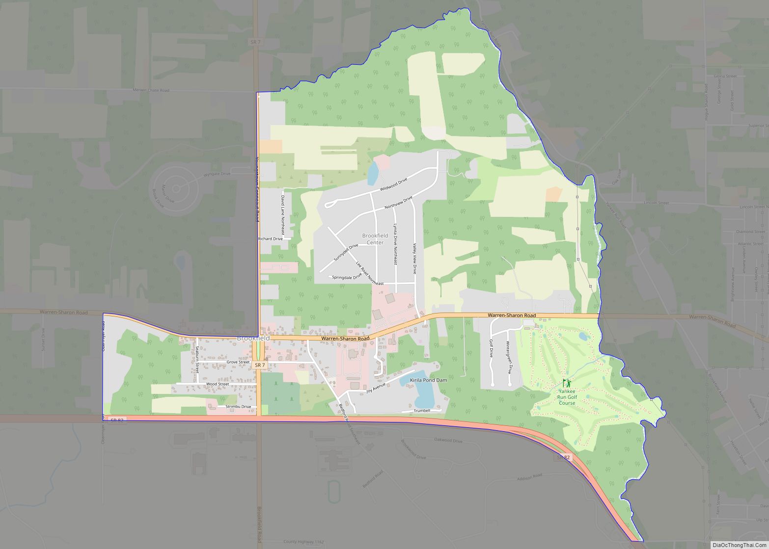
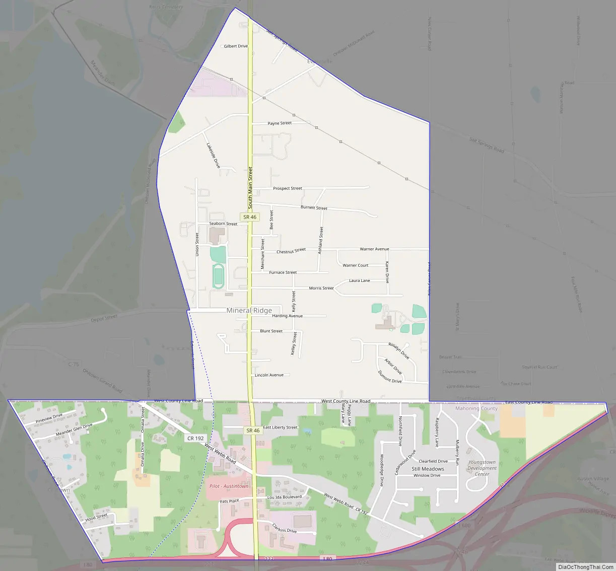
Online Interactive Map
Click on ![]() to view map in "full screen" mode.
to view map in "full screen" mode.
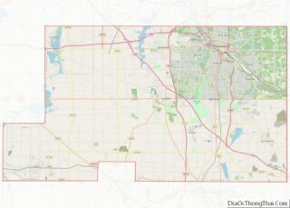
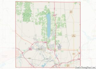
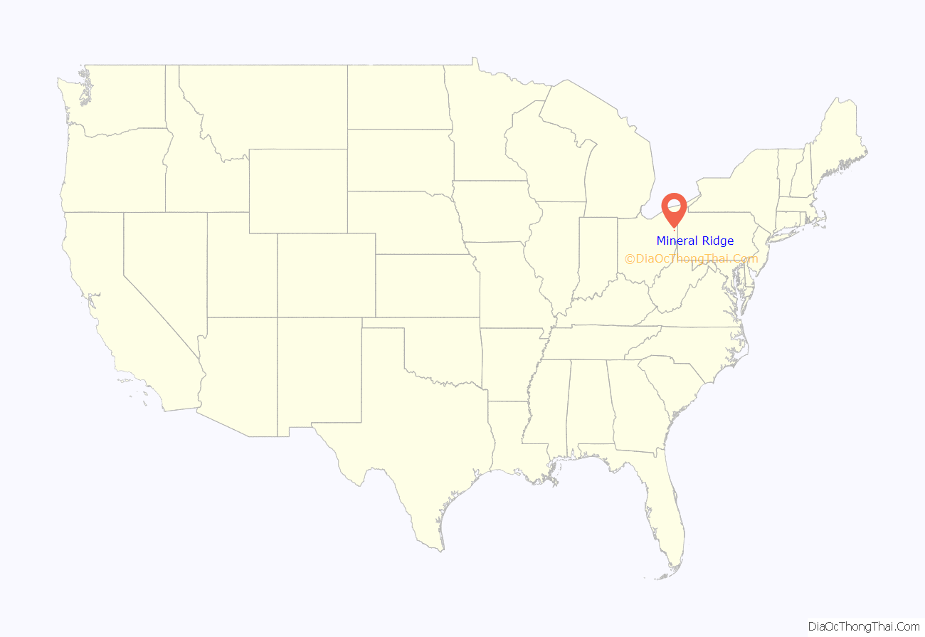
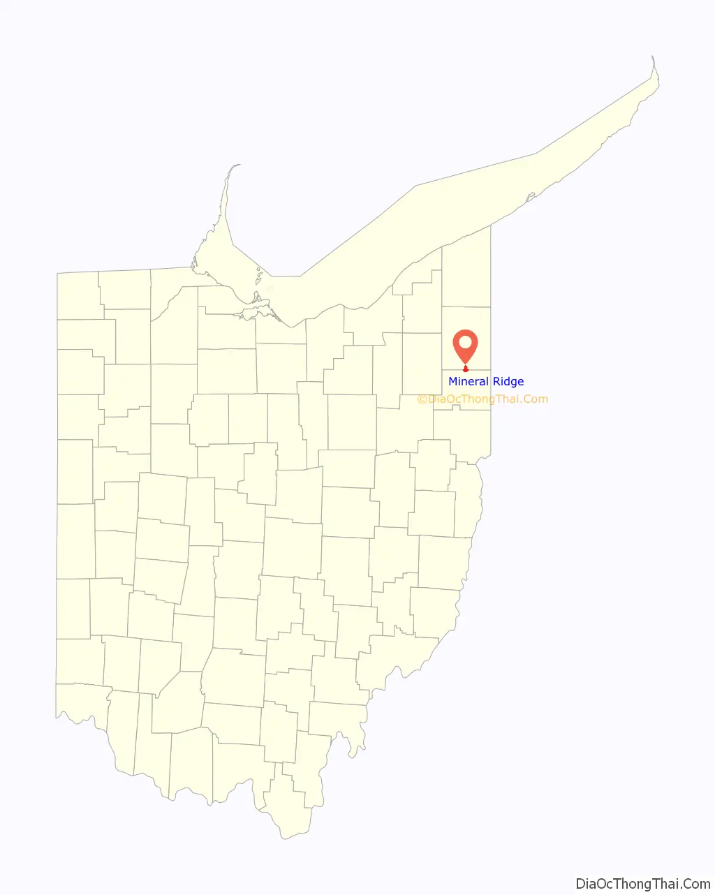
Mineral Ridge location map. Where is Mineral Ridge CDP?
History
The area of Mineral Ridge was primarily a farming community, with some coal mining in the 1830s. In the mid-1850s, John Lewis, superintendent of the Mineral Ridge Coal Mines, discovered black band iron ore beneath the layers of coal ore, leading to a boom of companies working with the blast furnaces of Brier Hill, Niles, and later, Mineral Ridge itself. The main deposit of iron for Youngstown’s growing steel industry, this iron was known as “American Scotch Pig” and “Warner’s Scotch Pig.”
By the late 19th century, the mining industry was largely in decline and Mineral Ridge disincorporated in 1917. However, some mines did still operate into the Great Depression.
Mineral Ridge Road Map
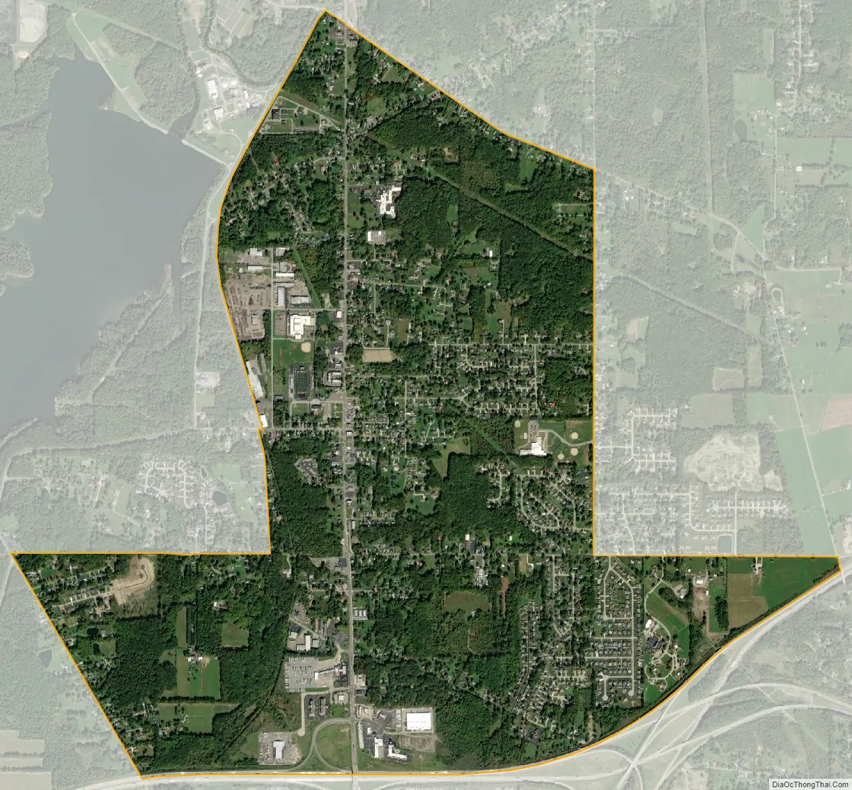
Mineral Ridge city Satellite Map
Geography
Mineral Ridge is located at 41°8′31″N 80°46′1″W / 41.14194°N 80.76694°W / 41.14194; -80.76694 (41.141888, -80.767075).
According to the United States Census Bureau, the CDP has a total area of 3.28 square miles (8.49 km), of which 3.26 square miles (8.45 km) is land and 0.015 square miles (0.04 km), or 0.51%, is water.
See also
Map of Ohio State and its subdivision:- Adams
- Allen
- Ashland
- Ashtabula
- Athens
- Auglaize
- Belmont
- Brown
- Butler
- Carroll
- Champaign
- Clark
- Clermont
- Clinton
- Columbiana
- Coshocton
- Crawford
- Cuyahoga
- Darke
- Defiance
- Delaware
- Erie
- Fairfield
- Fayette
- Franklin
- Fulton
- Gallia
- Geauga
- Greene
- Guernsey
- Hamilton
- Hancock
- Hardin
- Harrison
- Henry
- Highland
- Hocking
- Holmes
- Huron
- Jackson
- Jefferson
- Knox
- Lake
- Lake Erie
- Lawrence
- Licking
- Logan
- Lorain
- Lucas
- Madison
- Mahoning
- Marion
- Medina
- Meigs
- Mercer
- Miami
- Monroe
- Montgomery
- Morgan
- Morrow
- Muskingum
- Noble
- Ottawa
- Paulding
- Perry
- Pickaway
- Pike
- Portage
- Preble
- Putnam
- Richland
- Ross
- Sandusky
- Scioto
- Seneca
- Shelby
- Stark
- Summit
- Trumbull
- Tuscarawas
- Union
- Van Wert
- Vinton
- Warren
- Washington
- Wayne
- Williams
- Wood
- Wyandot
- Alabama
- Alaska
- Arizona
- Arkansas
- California
- Colorado
- Connecticut
- Delaware
- District of Columbia
- Florida
- Georgia
- Hawaii
- Idaho
- Illinois
- Indiana
- Iowa
- Kansas
- Kentucky
- Louisiana
- Maine
- Maryland
- Massachusetts
- Michigan
- Minnesota
- Mississippi
- Missouri
- Montana
- Nebraska
- Nevada
- New Hampshire
- New Jersey
- New Mexico
- New York
- North Carolina
- North Dakota
- Ohio
- Oklahoma
- Oregon
- Pennsylvania
- Rhode Island
- South Carolina
- South Dakota
- Tennessee
- Texas
- Utah
- Vermont
- Virginia
- Washington
- West Virginia
- Wisconsin
- Wyoming