Moraine is a city in Montgomery County, Ohio, United States. Situated on the banks of the Great Miami River, Moraine is an inner suburb of Dayton, Ohio and a part of the Dayton metropolitan area. The population was 6,393 at the 2020 census.
| Name: | Moraine city |
|---|---|
| LSAD Code: | 25 |
| LSAD Description: | city (suffix) |
| State: | Ohio |
| County: | Montgomery County |
| Elevation: | 738 ft (225 m) |
| Total Area: | 9.55 sq mi (24.73 km²) |
| Land Area: | 9.28 sq mi (24.04 km²) |
| Water Area: | 0.27 sq mi (0.69 km²) |
| Total Population: | 6,393 |
| Population Density: | 688.75/sq mi (265.94/km²) |
| ZIP code: | 45439 |
| Area code: | 937, 326 |
| FIPS code: | 3952010 |
| GNISfeature ID: | 1048984 |
| Website: | http://www.ci.moraine.oh.us |
Online Interactive Map
Click on ![]() to view map in "full screen" mode.
to view map in "full screen" mode.
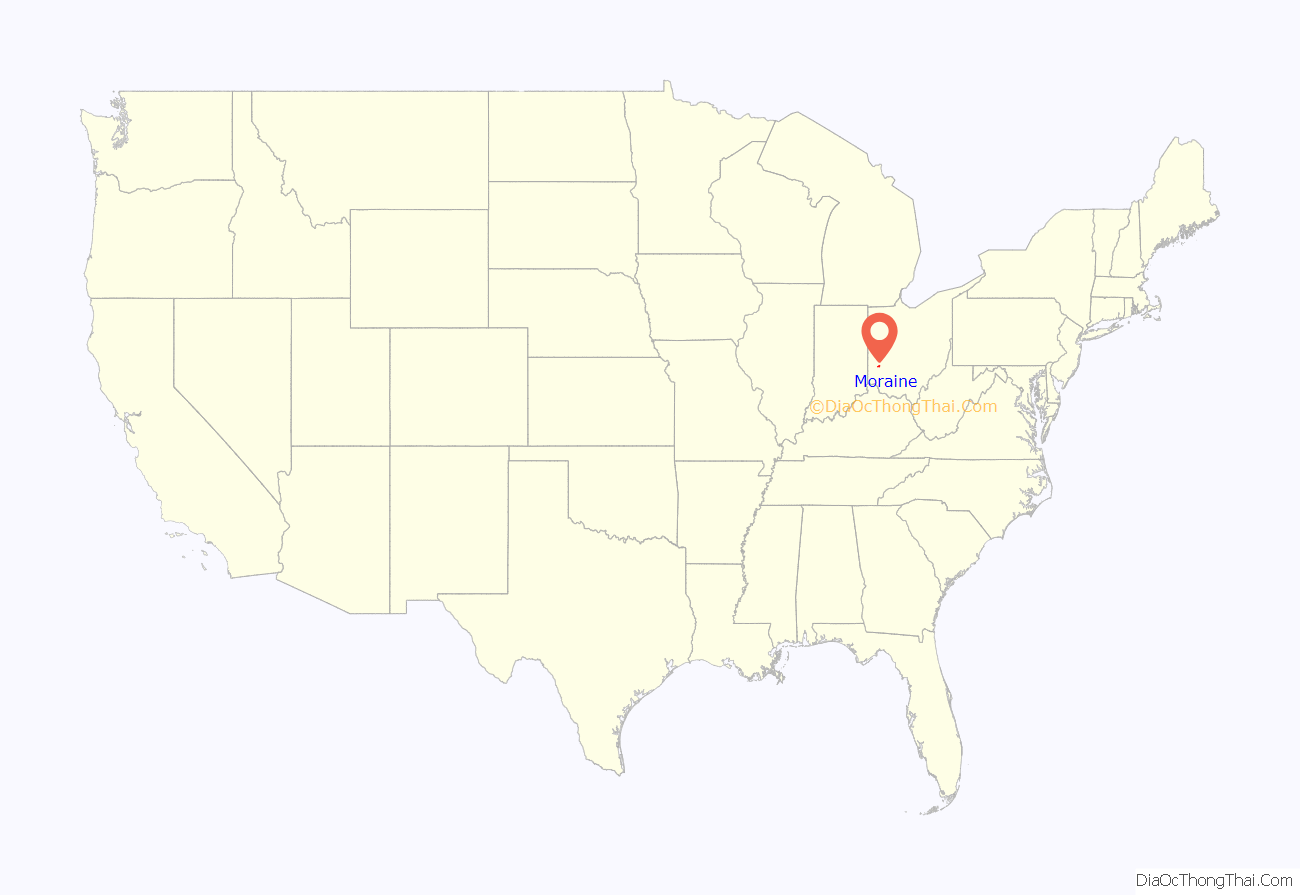
Moraine location map. Where is Moraine city?
History
What is now the city of Moraine was once a part of Van Buren Township followed by a brief period as a part of Kettering. Much of Kettering’s portion seceded in 1953 and formed the new Moraine Township. The township incorporated as a village in 1957. After annexing portions of Miami Township, Moraine incorporated as a city in 1965. Moraine later annexed parts of Jefferson Township.
Manufacturing
Moraine is known for its manufacturing history. From 1917 to 1923 the Dayton Wright Airplane company operated an aircraft manufacturing plant on the current site of the Moraine Assembly. During its years of operation over 4000 aircraft were built including the DeHavilland observer/bomber plane (a First World War British design).
Dayton-Wright was sold to General Motors in 1919 and GM exited the aircraft business in 1923. In 1926, General Motors enlarged and upgraded the plant and used it to build refrigerators. Frigidaire continued to manufacture appliances on the site until 1979 when GM sold Frigidaire.
However, General Motors decided to keep the plant and retool it to produce vehicles. In 1981 the plant reopened and manufactured the Chevrolet S-10 Blazer and GMC S-15 Jimmy. In the 1990s a paint shop, and the DMAX engine plant was added to the site as a joint venture with Isuzu. The plant continued to manufacture SUVs from the General Motors product line (Chevrolet, GMC, Oldsmobile, Buick) until 2008 when the plant closed. The DMAX engine plant still remains open as a separate facility, and has received a $60 million upgrade in 2014. Through 2008, the total history of the plant included 86 years of manufacturing.
In 2014, GM Moraine Assembly was purchased from IRG by China-based Fuyao Glass Industry Group Co. Ltd. Fuyao manufactures automotive glass for GM and other automakers. They began operations in late 2015, with plans to employ 800 people at the plant. The operations were the subject of the documentary American Factory.
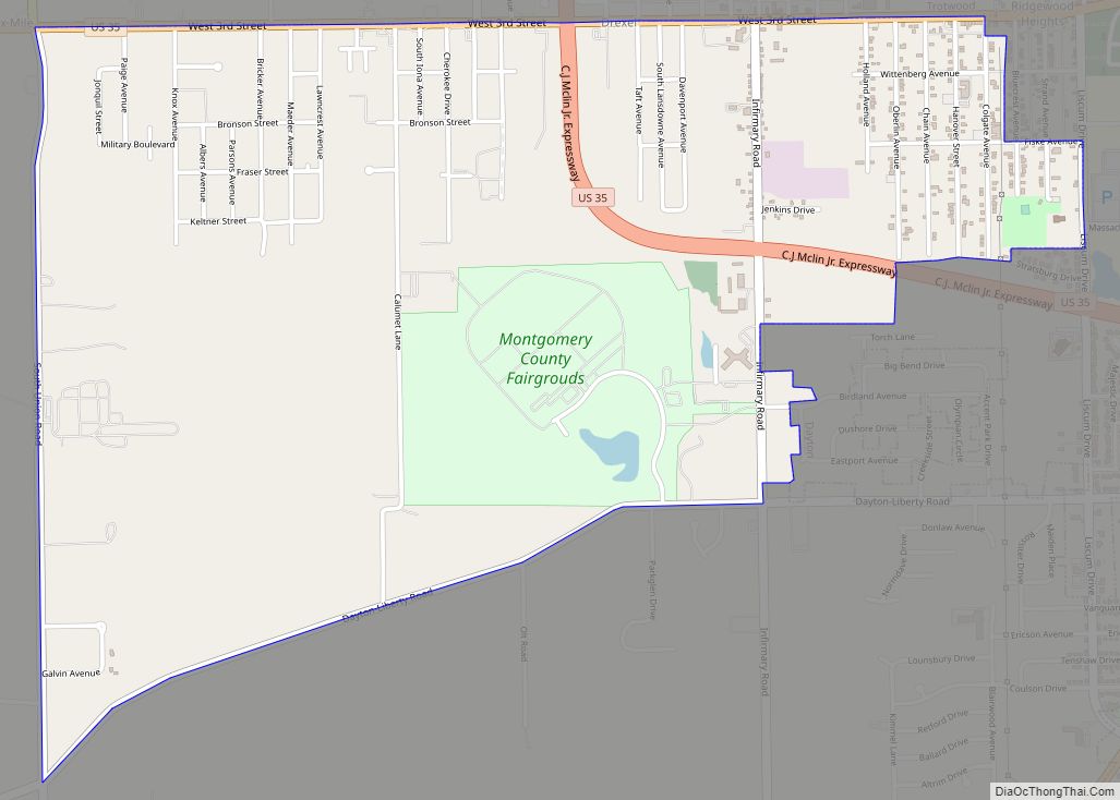
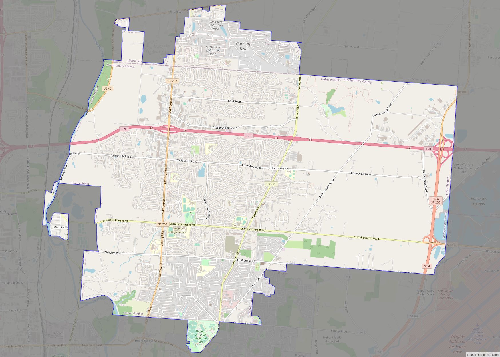
Moraine Road Map
Moraine city Satellite Map
Geography
Moraine is located at 39°41′44″N 84°13′40″W / 39.69556°N 84.22778°W / 39.69556; -84.22778 (39.695650, -84.227677).
According to the United States Census Bureau, the city has a total area of 9.52 square miles (24.66 km), of which 9.25 square miles (23.96 km) is land and 0.27 square miles (0.70 km) is water.
See also
Map of Ohio State and its subdivision:- Adams
- Allen
- Ashland
- Ashtabula
- Athens
- Auglaize
- Belmont
- Brown
- Butler
- Carroll
- Champaign
- Clark
- Clermont
- Clinton
- Columbiana
- Coshocton
- Crawford
- Cuyahoga
- Darke
- Defiance
- Delaware
- Erie
- Fairfield
- Fayette
- Franklin
- Fulton
- Gallia
- Geauga
- Greene
- Guernsey
- Hamilton
- Hancock
- Hardin
- Harrison
- Henry
- Highland
- Hocking
- Holmes
- Huron
- Jackson
- Jefferson
- Knox
- Lake
- Lake Erie
- Lawrence
- Licking
- Logan
- Lorain
- Lucas
- Madison
- Mahoning
- Marion
- Medina
- Meigs
- Mercer
- Miami
- Monroe
- Montgomery
- Morgan
- Morrow
- Muskingum
- Noble
- Ottawa
- Paulding
- Perry
- Pickaway
- Pike
- Portage
- Preble
- Putnam
- Richland
- Ross
- Sandusky
- Scioto
- Seneca
- Shelby
- Stark
- Summit
- Trumbull
- Tuscarawas
- Union
- Van Wert
- Vinton
- Warren
- Washington
- Wayne
- Williams
- Wood
- Wyandot
- Alabama
- Alaska
- Arizona
- Arkansas
- California
- Colorado
- Connecticut
- Delaware
- District of Columbia
- Florida
- Georgia
- Hawaii
- Idaho
- Illinois
- Indiana
- Iowa
- Kansas
- Kentucky
- Louisiana
- Maine
- Maryland
- Massachusetts
- Michigan
- Minnesota
- Mississippi
- Missouri
- Montana
- Nebraska
- Nevada
- New Hampshire
- New Jersey
- New Mexico
- New York
- North Carolina
- North Dakota
- Ohio
- Oklahoma
- Oregon
- Pennsylvania
- Rhode Island
- South Carolina
- South Dakota
- Tennessee
- Texas
- Utah
- Vermont
- Virginia
- Washington
- West Virginia
- Wisconsin
- Wyoming
