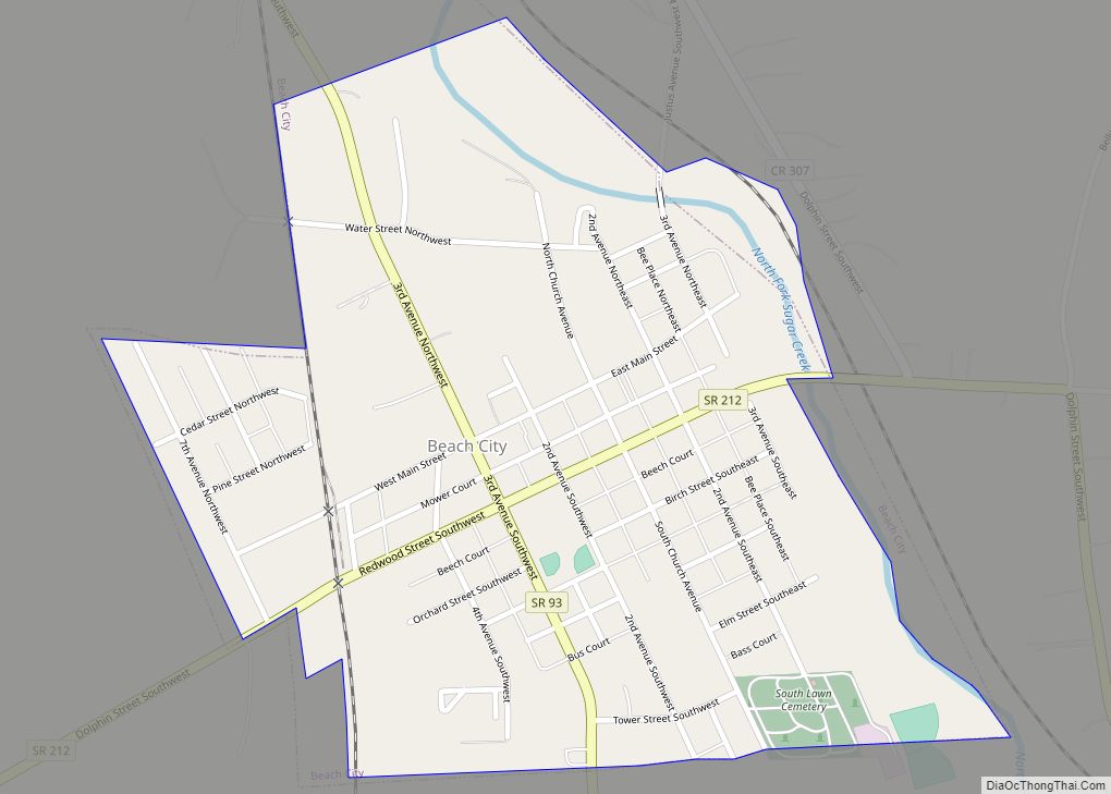
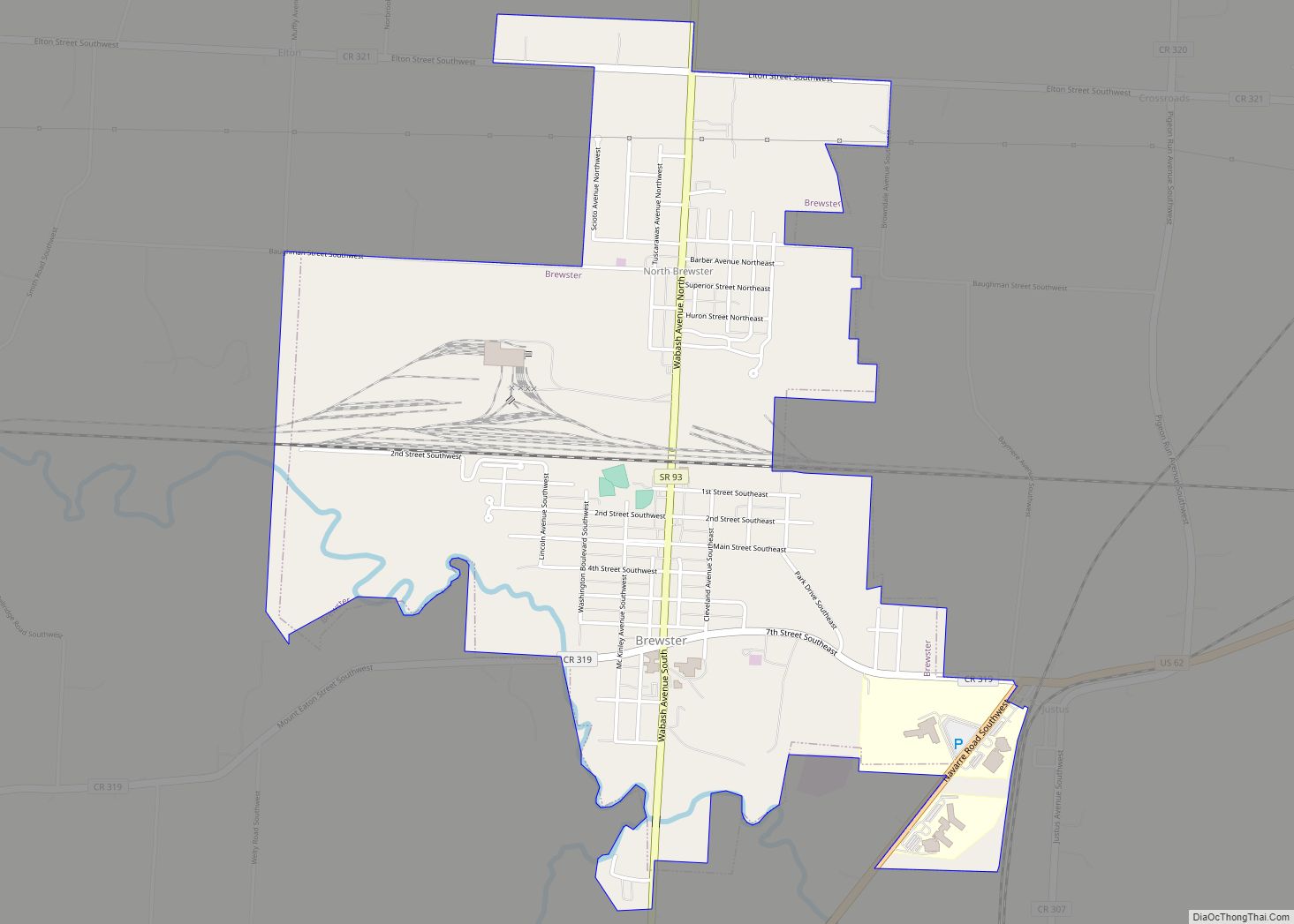
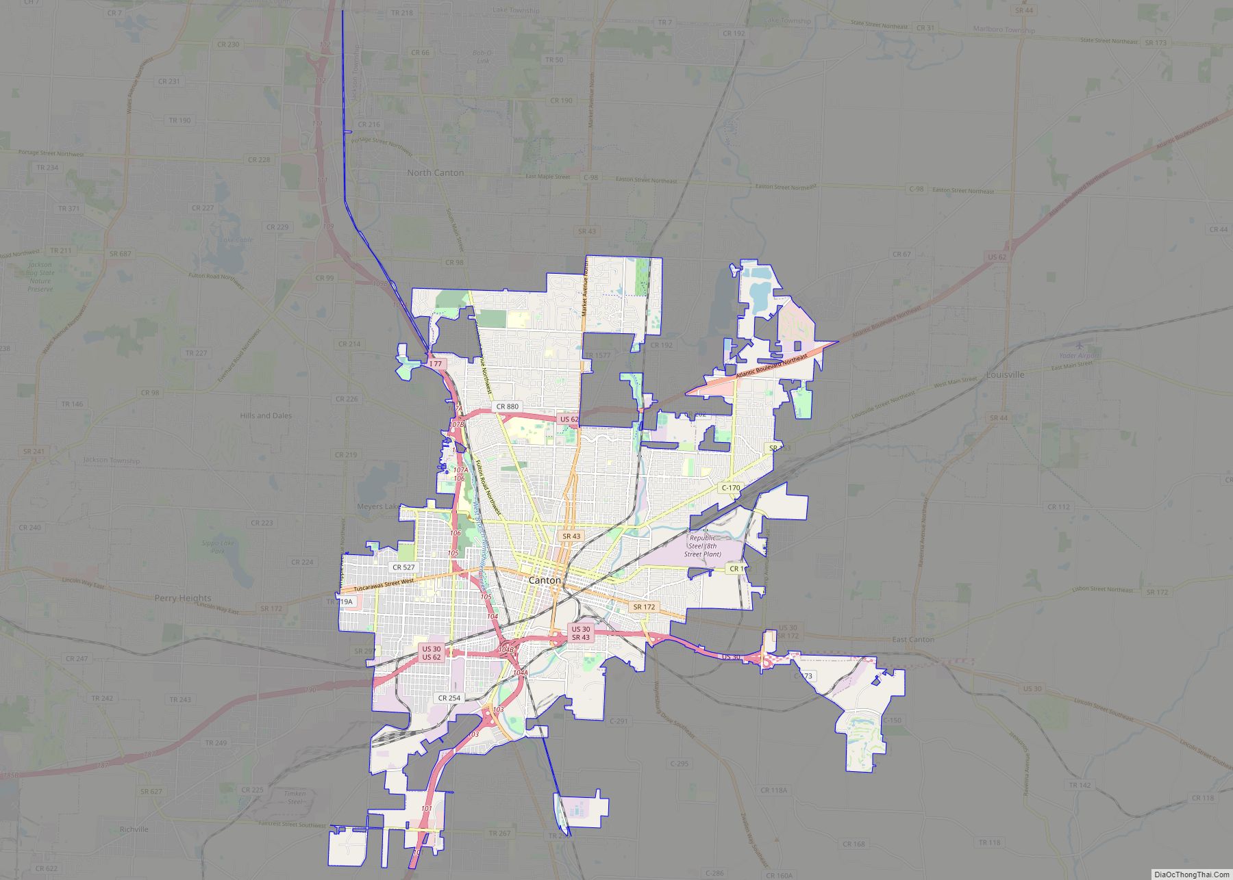
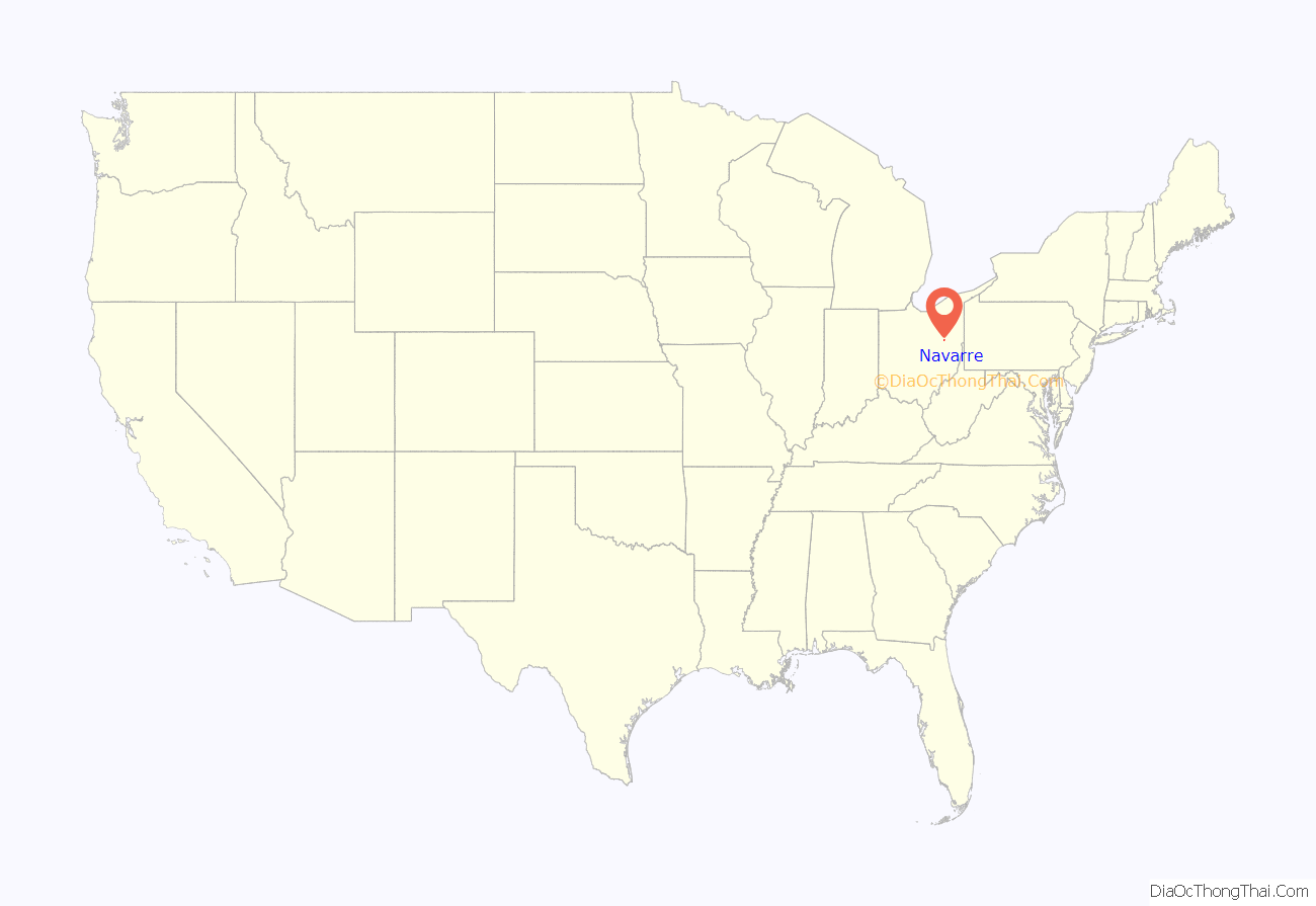
Navarre (named after the Navarre region in Spain) is a village in Stark County, Ohio, United States. The population was 1,957 at the 2010 census. It is part of the Canton-Massillon, OH Metropolitan Statistical Area.
Navarre was the home of Orlando Poe, a United States Army officer in the American Civil War and an engineer who was responsible for much of the early lighthouse construction on the Great Lakes. It was also the childhood home of Red House Painters/Sun Kil Moon singer-songwriter Mark Kozelek.
| Name: | Navarre village |
|---|---|
| LSAD Code: | 47 |
| LSAD Description: | village (suffix) |
| State: | Ohio |
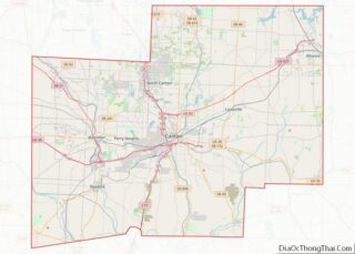
| County: | Stark County |
| Elevation: | 958 ft (292 m) |
| Total Area: | 1.78 sq mi (4.62 km²) |
| Land Area: | 1.78 sq mi (4.61 km²) |
| Water Area: | 0.00 sq mi (0.01 km²) |
| Total Population: | 1,846 |
| Population Density: | 1,037.66/sq mi (400.74/km²) |
| ZIP code: | 44662 |
| Area code: | 330 |
| FIPS code: | 3953690 |
| GNISfeature ID: | 1065094 |
| Website: | www.navarreohio.net |
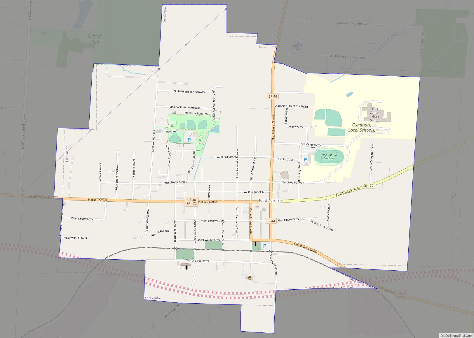
Online Interactive Map
Click on ![]() to view map in "full screen" mode.
to view map in "full screen" mode.

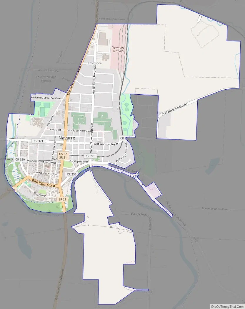
Geography
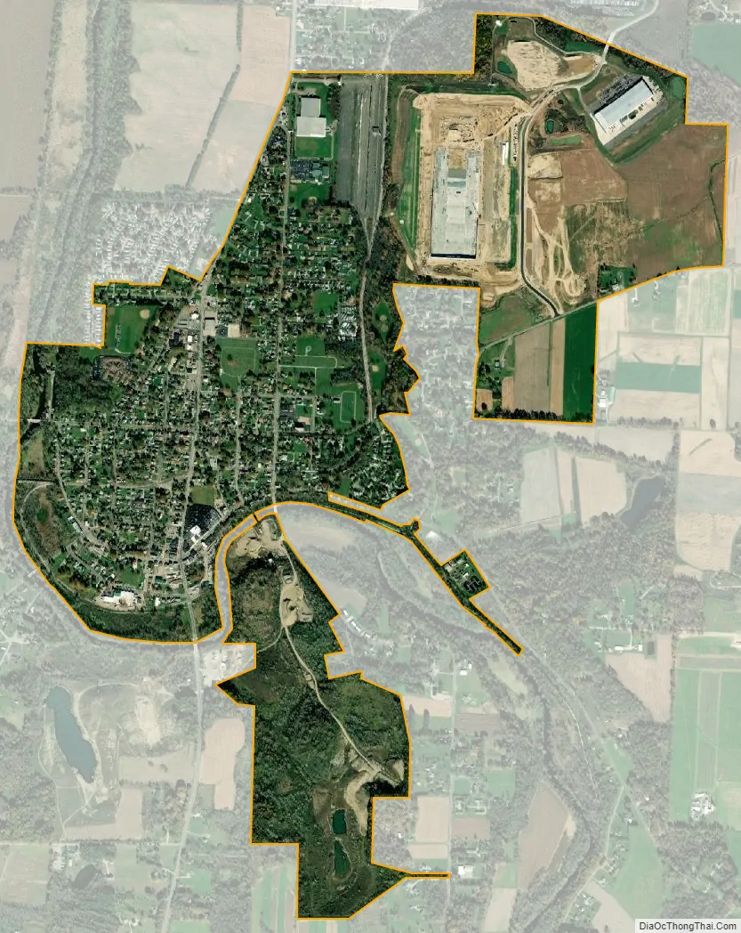
Navarre is located at 40°43′25″N 81°31′17″W / 40.72361°N 81.52139°W / 40.72361; -81.52139 (40.723708, -81.521449), along the Tuscarawas River.
According to the United States Census Bureau, the village has a total area of 2.05 square miles (5.31 km), all land.
See also
Map of Ohio State and its subdivision:- Adams
- Allen
- Ashland
- Ashtabula
- Athens
- Auglaize
- Belmont
- Brown
- Butler
- Carroll
- Champaign
- Clark
- Clermont
- Clinton
- Columbiana
- Coshocton
- Crawford
- Cuyahoga
- Darke
- Defiance
- Delaware
- Erie
- Fairfield
- Fayette
- Franklin
- Fulton
- Gallia
- Geauga
- Greene
- Guernsey
- Hamilton
- Hancock
- Hardin
- Harrison
- Henry
- Highland
- Hocking
- Holmes
- Huron
- Jackson
- Jefferson
- Knox
- Lake
- Lake Erie
- Lawrence
- Licking
- Logan
- Lorain
- Lucas
- Madison
- Mahoning
- Marion
- Medina
- Meigs
- Mercer
- Miami
- Monroe
- Montgomery
- Morgan
- Morrow
- Muskingum
- Noble
- Ottawa
- Paulding
- Perry
- Pickaway
- Pike
- Portage
- Preble
- Putnam
- Richland
- Ross
- Sandusky
- Scioto
- Seneca
- Shelby
- Stark
- Summit
- Trumbull
- Tuscarawas
- Union
- Van Wert
- Vinton
- Warren
- Washington
- Wayne
- Williams
- Wood
- Wyandot
- Alabama
- Alaska
- Arizona
- Arkansas
- California
- Colorado
- Connecticut
- Delaware
- District of Columbia
- Florida
- Georgia
- Hawaii
- Idaho
- Illinois
- Indiana
- Iowa
- Kansas
- Kentucky
- Louisiana
- Maine
- Maryland
- Massachusetts
- Michigan
- Minnesota
- Mississippi
- Missouri
- Montana
- Nebraska
- Nevada
- New Hampshire
- New Jersey
- New Mexico
- New York
- North Carolina
- North Dakota
- Ohio
- Oklahoma
- Oregon
- Pennsylvania
- Rhode Island
- South Carolina
- South Dakota
- Tennessee
- Texas
- Utah
- Vermont
- Virginia
- Washington
- West Virginia
- Wisconsin
- Wyoming