New Miami is a village in St. Clair Township, located in central Butler County in the southwestern part of the U.S. state of Ohio. The population was 2,217 at the 2020 census.
New Miami is a small village sitting north of Hamilton, Ohio. Originally known as Coke Otto, Otto or Kokotto for its large coal field and steel mill. It is notable for its involvement in the case of Barrow v. Village of New Miami as a potential speed trap community.
| Name: | New Miami village |
|---|---|
| LSAD Code: | 47 |
| LSAD Description: | village (suffix) |
| State: | Ohio |
| County: | Butler County |
| Elevation: | 594 ft (181 m) |
| Total Area: | 0.94 sq mi (2.43 km²) |
| Land Area: | 0.90 sq mi (2.34 km²) |
| Water Area: | 0.04 sq mi (0.09 km²) |
| Total Population: | 2,217 |
| Population Density: | 2,452.43/sq mi (946.83/km²) |
| ZIP code: | 45011 and 45013 West of Four Mile Creek |
| Area code: | 513 |
| FIPS code: | 3955104 |
| GNISfeature ID: | 1061169 |
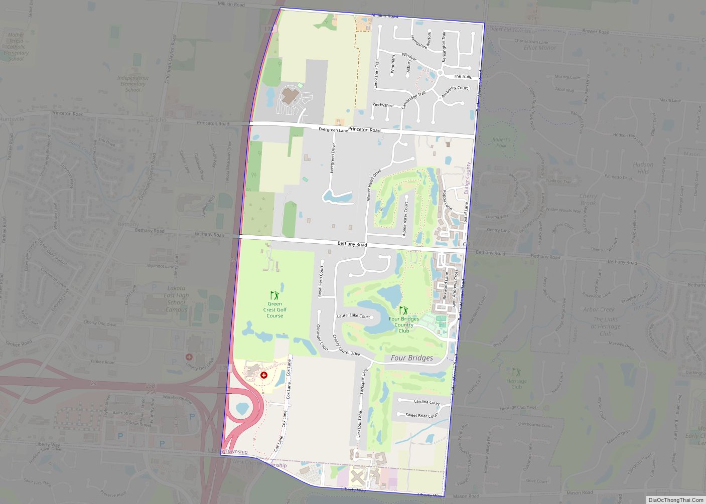
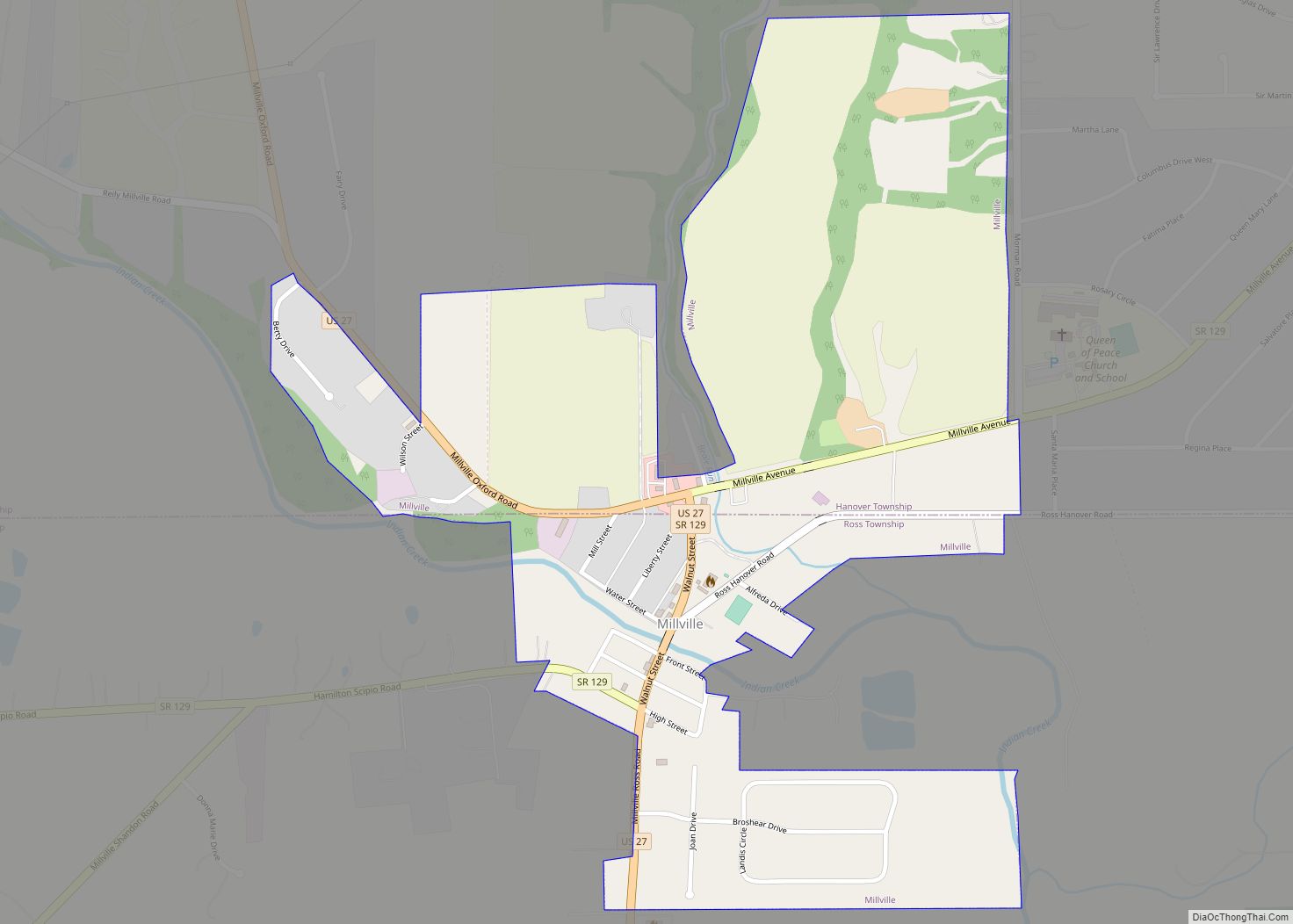
Online Interactive Map
Click on ![]() to view map in "full screen" mode.
to view map in "full screen" mode.
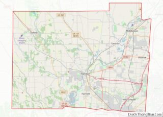
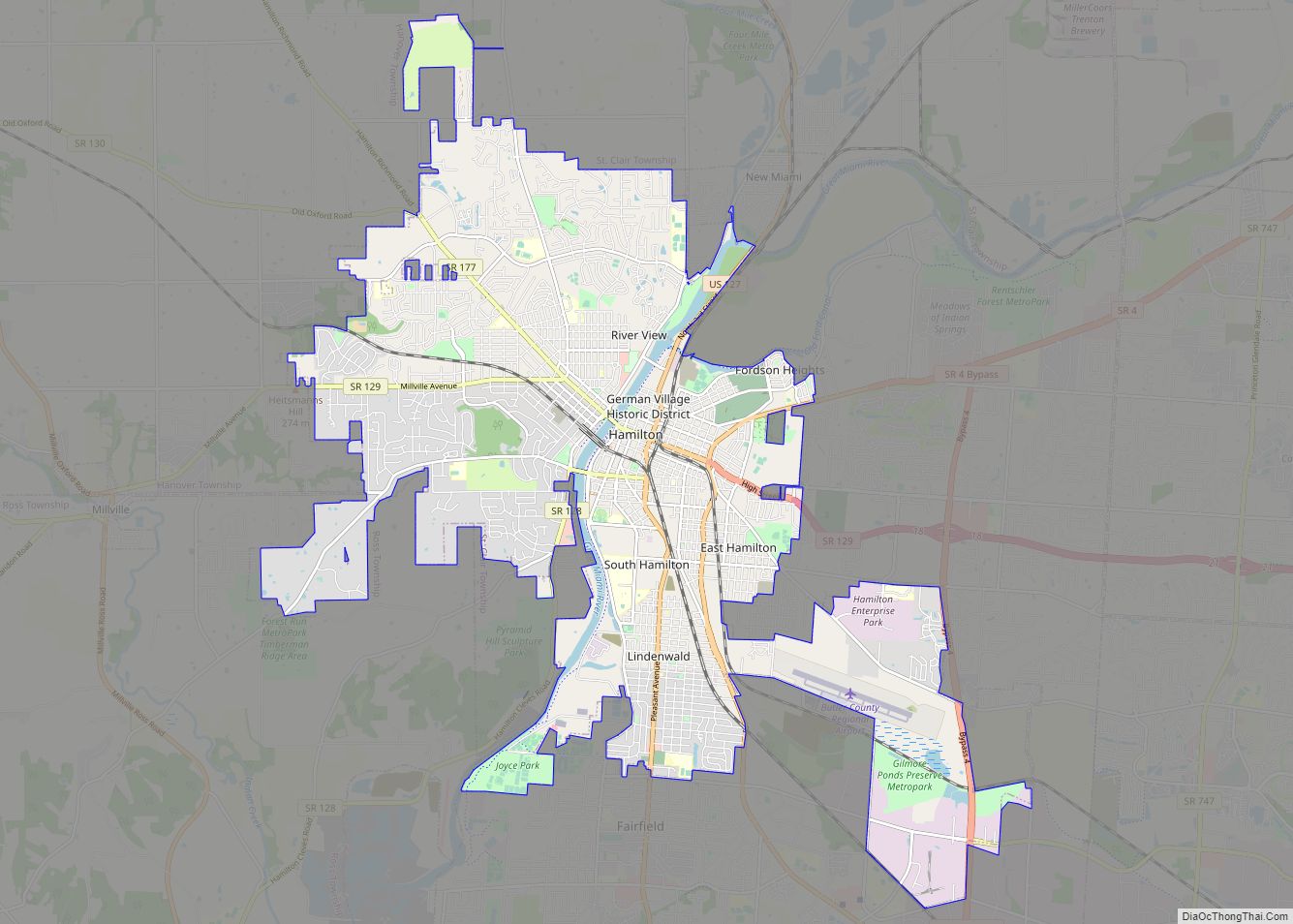
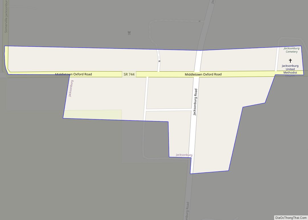
New Miami location map. Where is New Miami village?


History
The United Coke and Gas Company built a number of Otto-Hoffman type coke ovens circa 1905 for the Hamilton Otto Coke Company. The coke plant covered about 50 acres (200,000 m) with a battery of 120 coke ovens, thus New Miami was referred to as Coke Otto. The property was purchased in 1937 by The American Rolling Mill Company which changed its name to ARMCO in 1948. The company is now AK Steel Holdings in Middletown, Ohio. One of Armco’s best-known products may be the crash barriers installed around many auto-racing tracks, particularly in Formula One. These barriers are commonly called “Armco”. New Miami was incorporated as a village in 1929.
Around January 2013, New Miami entered into a contract with Optotraffic to fit the village with speed cameras around US-127. Those caught speeding in the area of the village would be force to pay a fee of ninety-five dollars, but would not result in points being added to their driver’s license. By February 2014, the camera system that was in place was stopped by a Butler County Judge. At the time, the village had reported that it had received at least one million dollars during the period the system was up. In December 2015, the village created a new system with Blue Line Solutions to allow officers to use the otherwise automatic speed cameras, which went into full effect in February 2016 with some modifications.
A lawsuit, Barrow v. Village of New Miami took place from 2014 to 2017 that would eventually force New Miami to pay back the close to two million the village received from the fines and the over one million that was paid to Optotraffic over the approximately forty-five thousand citations that were issued during the program.
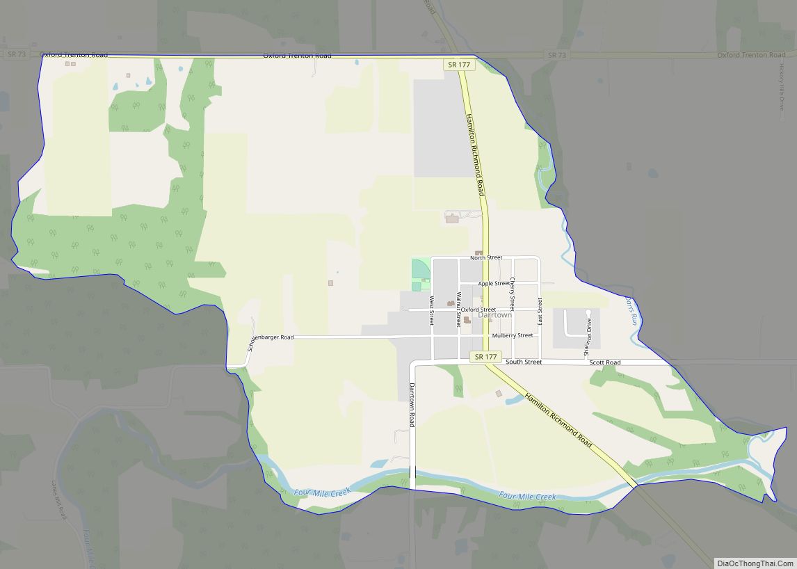
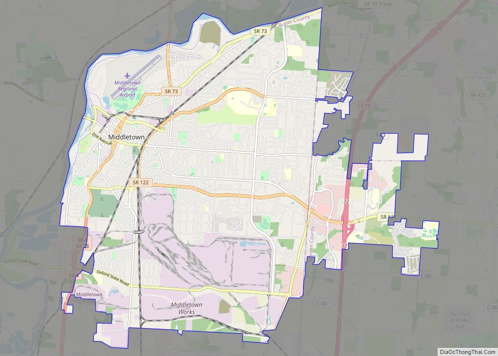
New Miami Road Map

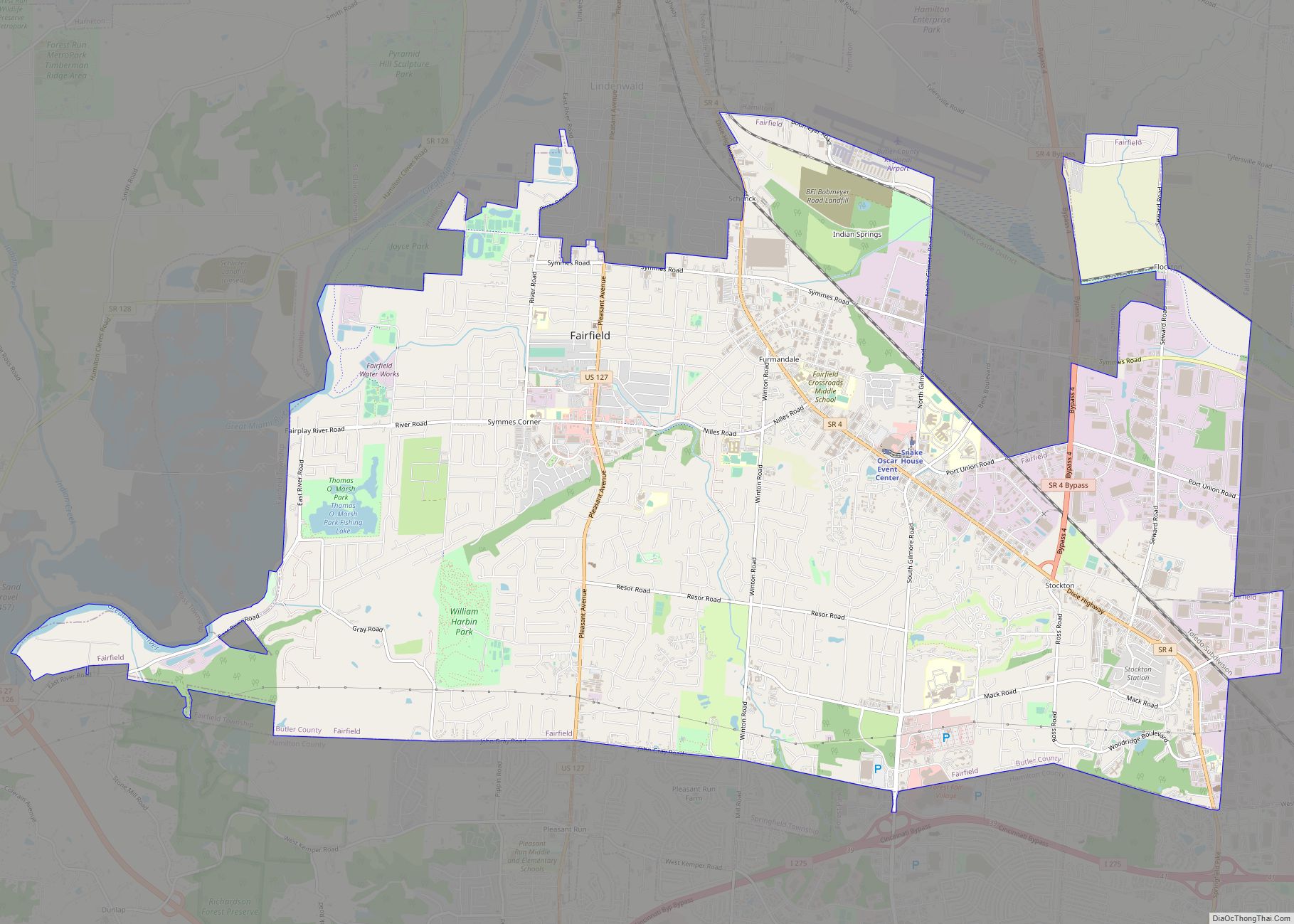
New Miami city Satellite Map

Geography
New Miami is located at 39°25′54″N 84°32′28″W / 39.43167°N 84.54111°W / 39.43167; -84.54111 (39.431556, -84.541056).
According to the United States Census Bureau, the village has a total area of 3.95 square miles (10.23 km), of which 3.91 square miles (10.13 km) is land and 0.04 square miles (0.10 km) is water.
See also
Map of Ohio State and its subdivision:- Adams
- Allen
- Ashland
- Ashtabula
- Athens
- Auglaize
- Belmont
- Brown
- Butler
- Carroll
- Champaign
- Clark
- Clermont
- Clinton
- Columbiana
- Coshocton
- Crawford
- Cuyahoga
- Darke
- Defiance
- Delaware
- Erie
- Fairfield
- Fayette
- Franklin
- Fulton
- Gallia
- Geauga
- Greene
- Guernsey
- Hamilton
- Hancock
- Hardin
- Harrison
- Henry
- Highland
- Hocking
- Holmes
- Huron
- Jackson
- Jefferson
- Knox
- Lake
- Lake Erie
- Lawrence
- Licking
- Logan
- Lorain
- Lucas
- Madison
- Mahoning
- Marion
- Medina
- Meigs
- Mercer
- Miami
- Monroe
- Montgomery
- Morgan
- Morrow
- Muskingum
- Noble
- Ottawa
- Paulding
- Perry
- Pickaway
- Pike
- Portage
- Preble
- Putnam
- Richland
- Ross
- Sandusky
- Scioto
- Seneca
- Shelby
- Stark
- Summit
- Trumbull
- Tuscarawas
- Union
- Van Wert
- Vinton
- Warren
- Washington
- Wayne
- Williams
- Wood
- Wyandot
- Alabama
- Alaska
- Arizona
- Arkansas
- California
- Colorado
- Connecticut
- Delaware
- District of Columbia
- Florida
- Georgia
- Hawaii
- Idaho
- Illinois
- Indiana
- Iowa
- Kansas
- Kentucky
- Louisiana
- Maine
- Maryland
- Massachusetts
- Michigan
- Minnesota
- Mississippi
- Missouri
- Montana
- Nebraska
- Nevada
- New Hampshire
- New Jersey
- New Mexico
- New York
- North Carolina
- North Dakota
- Ohio
- Oklahoma
- Oregon
- Pennsylvania
- Rhode Island
- South Carolina
- South Dakota
- Tennessee
- Texas
- Utah
- Vermont
- Virginia
- Washington
- West Virginia
- Wisconsin
- Wyoming