New Riegel is a village in Seneca County, Ohio, United States. The 2020 census enumerated 286 residents at that time.
| Name: | New Riegel village |
|---|---|
| LSAD Code: | 47 |
| LSAD Description: | village (suffix) |
| State: | Ohio |
| County: | Seneca County |
| Elevation: | 830 ft (253 m) |
| Total Area: | 0.20 sq mi (0.52 km²) |
| Land Area: | 0.20 sq mi (0.52 km²) |
| Water Area: | 0.00 sq mi (0.00 km²) |
| Total Population: | 286 |
| Population Density: | 1,430.00/sq mi (551.33/km²) |
| ZIP code: | 44853 |
| Area code: | 419 |
| FIPS code: | 3955398 |
| GNISfeature ID: | 1043846 |
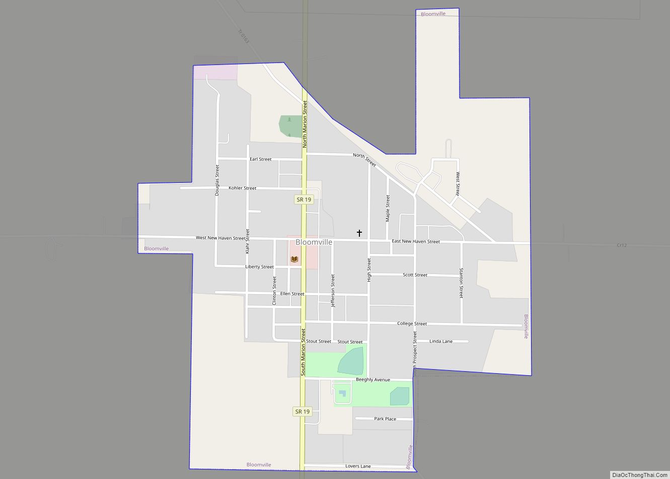
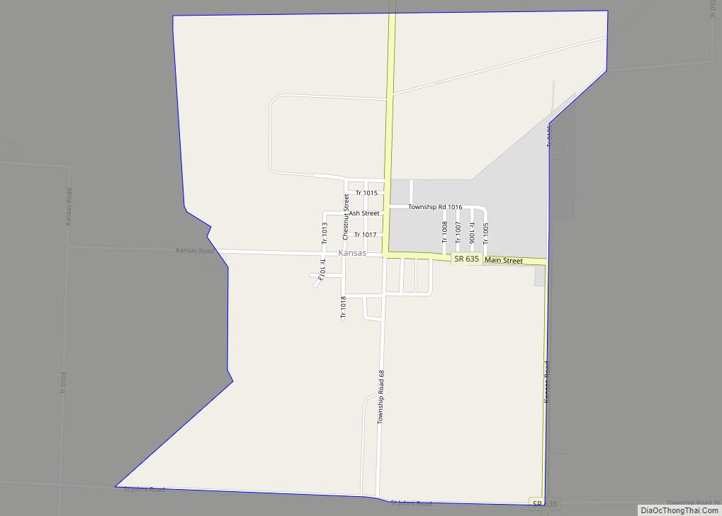
Online Interactive Map
Click on ![]() to view map in "full screen" mode.
to view map in "full screen" mode.
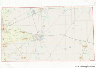
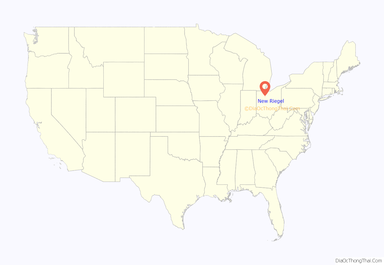
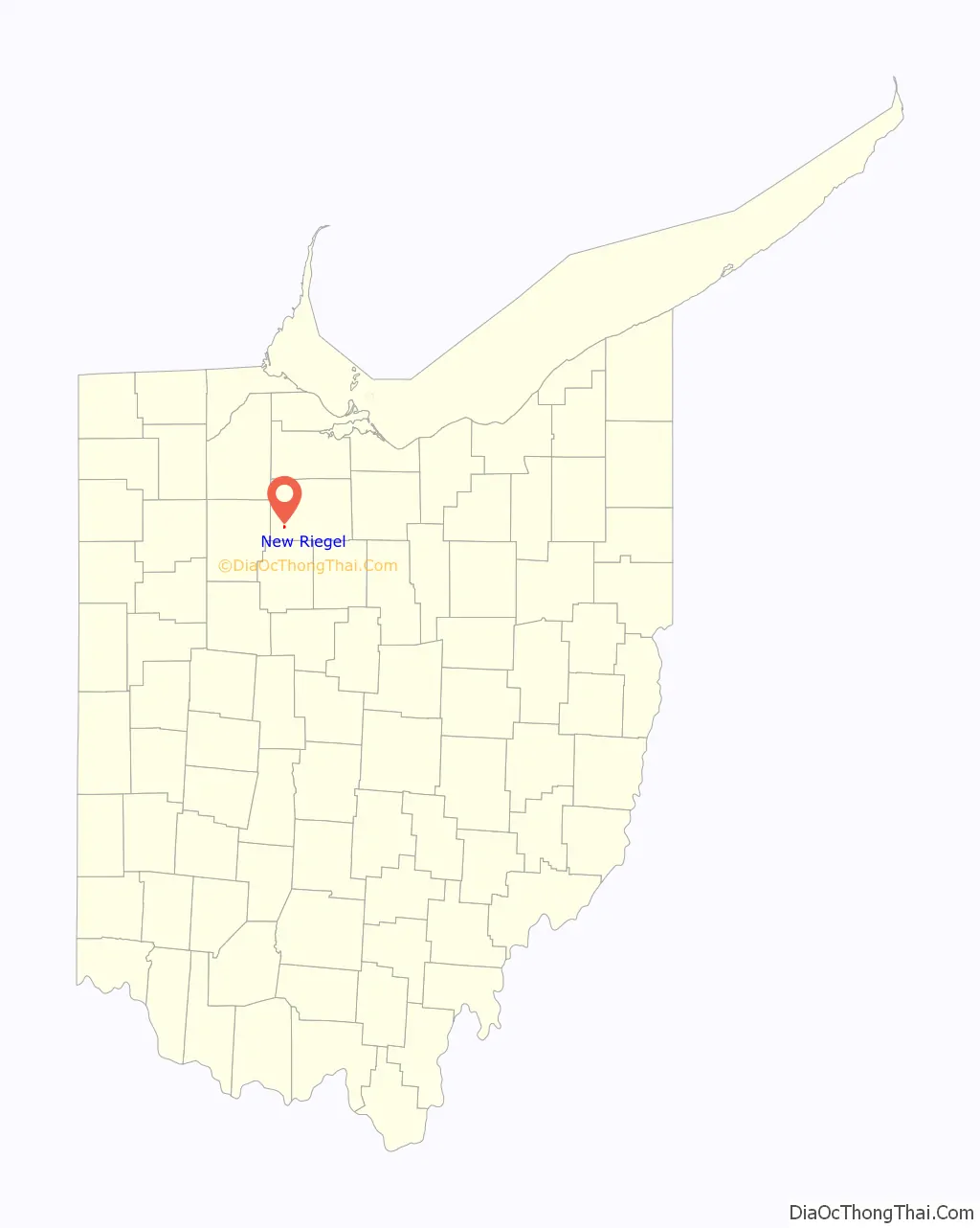
New Riegel location map. Where is New Riegel village?
History
Prior to 1850, New Riegel was variously known as Schindler (named for German immigrant Anton Schindler [1790-1851]) and as Wolf’s Creek (purportedly due to the large number of wolves that roamed local woodlands). In 1850, Schindler subdivided his land into 43 lots, which he collectively named for his hometown of Riegel, Germany. Historically, New Riegel was inhabited by Roman Catholic immigrants from Germany, who created a mission community under the patronage of the famous eighth-century Anglo Saxon missionary to present-day Germany, Boniface. Local Roman Catholic immigrants from Switzerland, France, Belgium and Luxembourg were also drawn to the mission prior to creating their own church communities in nearby Frenchtown and Alvada.
Beginning in 1844, the community was served for more than 150 years by the Precious Blood Missionaries and the Precious Blood Sisters of Switzerland. The latter began educating the children of the village in 1845 and continued that ministry for more than a century.
Completed in 1878, the present-day Saint Boniface Catholic Church (now a chapel of All Saints Catholic Church) is the tallest feature in the village and resembles many of the churches built throughout rural northwest Ohio in the late 19th-century, including the churches in nearby Frenchtown and Alvada.
For many years, Mary of the Crib Convent, an equally large structure occupied by the Precious Blood Sisters, stood to the north of the church, until it was destroyed by fire on June 24, 2001.
Many of the nuns and some of the priests and brothers who served the community are buried at St. Boniface Catholic Cemetery, which contains more than 2,750 marked graves. The priests lived in a red brick rectory built in 1904 to the south of the church, and the elementary school completed just south of the rectory in 1927, still stands as well. This school was built to replace the old school house to the north of the church (on the site of the present-day church parking lot), which was razed in 1927.
With the advent of public education in New Riegel in 1876, New Riegel Local Schools rented the church’s elementary school until January 2003, when a new PK-12 school was completed. Prior to renting the parish facility, the public school system operated a German school on the site of the present-day city hall (to which the village jail was later attached in 1883), then at a brick school house built in 1911 just west of the present-day American Legion hall. Until the 1990s, the children of New Riegel were bused to the parish facility at 8:00 a.m., for daily mass or religious education, followed by public school instruction in the same facility beginning at 8:30 a.m.
New Riegel Road Map
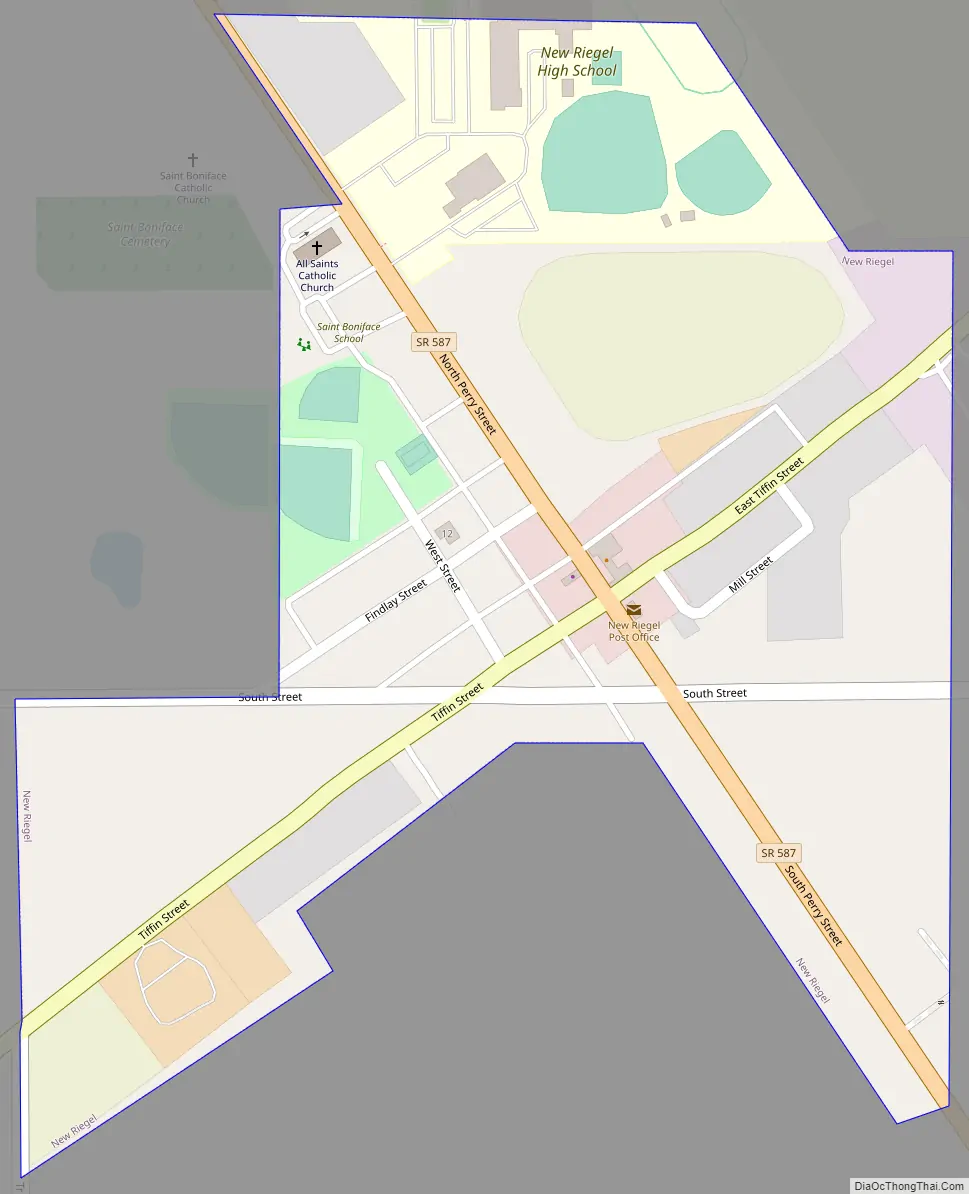
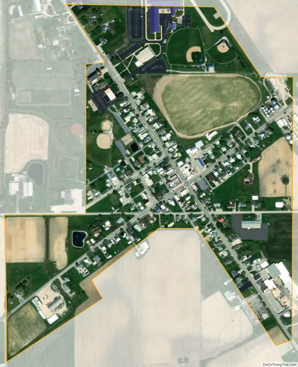
New Riegel city Satellite Map
Geography
New Riegel is located at 41°3′6″N 83°19′8″W / 41.05167°N 83.31889°W / 41.05167; -83.31889 (41.051536, -83.318946).
According to the United States Census Bureau, the village has a total area of 0.20 square miles (0.52 km), all land.
See also
Map of Ohio State and its subdivision:- Adams
- Allen
- Ashland
- Ashtabula
- Athens
- Auglaize
- Belmont
- Brown
- Butler
- Carroll
- Champaign
- Clark
- Clermont
- Clinton
- Columbiana
- Coshocton
- Crawford
- Cuyahoga
- Darke
- Defiance
- Delaware
- Erie
- Fairfield
- Fayette
- Franklin
- Fulton
- Gallia
- Geauga
- Greene
- Guernsey
- Hamilton
- Hancock
- Hardin
- Harrison
- Henry
- Highland
- Hocking
- Holmes
- Huron
- Jackson
- Jefferson
- Knox
- Lake
- Lake Erie
- Lawrence
- Licking
- Logan
- Lorain
- Lucas
- Madison
- Mahoning
- Marion
- Medina
- Meigs
- Mercer
- Miami
- Monroe
- Montgomery
- Morgan
- Morrow
- Muskingum
- Noble
- Ottawa
- Paulding
- Perry
- Pickaway
- Pike
- Portage
- Preble
- Putnam
- Richland
- Ross
- Sandusky
- Scioto
- Seneca
- Shelby
- Stark
- Summit
- Trumbull
- Tuscarawas
- Union
- Van Wert
- Vinton
- Warren
- Washington
- Wayne
- Williams
- Wood
- Wyandot
- Alabama
- Alaska
- Arizona
- Arkansas
- California
- Colorado
- Connecticut
- Delaware
- District of Columbia
- Florida
- Georgia
- Hawaii
- Idaho
- Illinois
- Indiana
- Iowa
- Kansas
- Kentucky
- Louisiana
- Maine
- Maryland
- Massachusetts
- Michigan
- Minnesota
- Mississippi
- Missouri
- Montana
- Nebraska
- Nevada
- New Hampshire
- New Jersey
- New Mexico
- New York
- North Carolina
- North Dakota
- Ohio
- Oklahoma
- Oregon
- Pennsylvania
- Rhode Island
- South Carolina
- South Dakota
- Tennessee
- Texas
- Utah
- Vermont
- Virginia
- Washington
- West Virginia
- Wisconsin
- Wyoming