Luxembourg, one of Europe’s smallest nations, has an area of only 2,586 sq. km (998 sq mi).
It is a landlocked country of thick, green forests that cover rolling hills and low mountains.
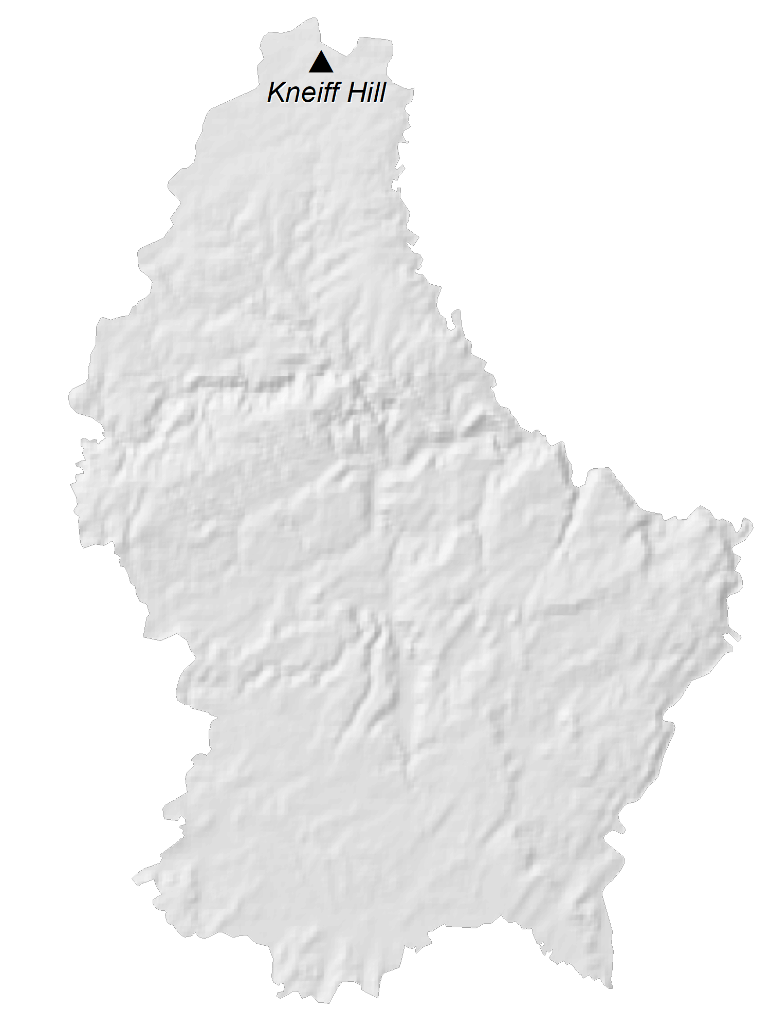
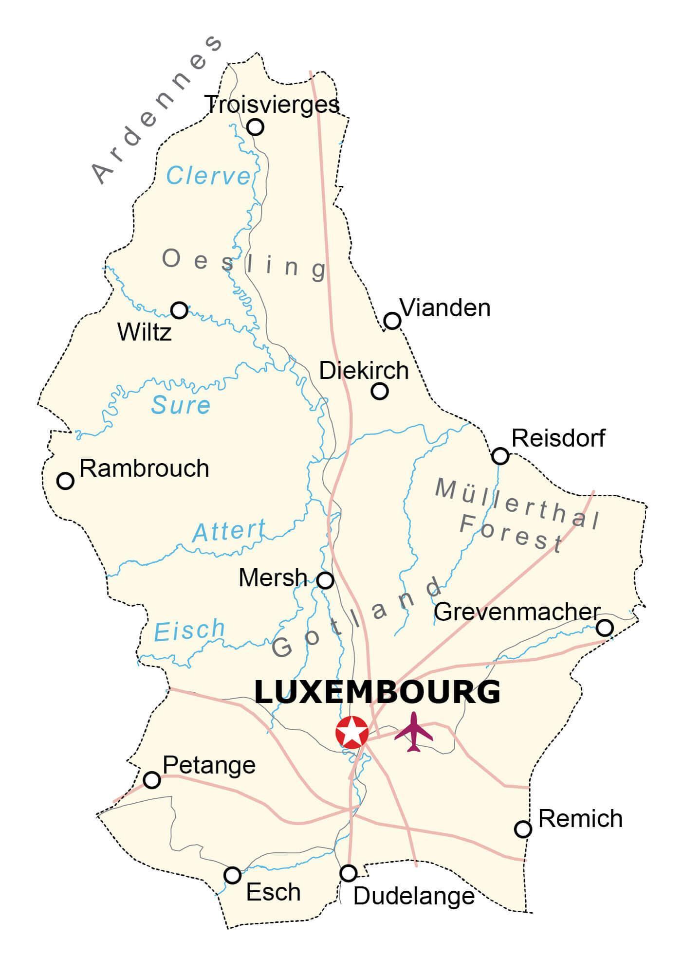
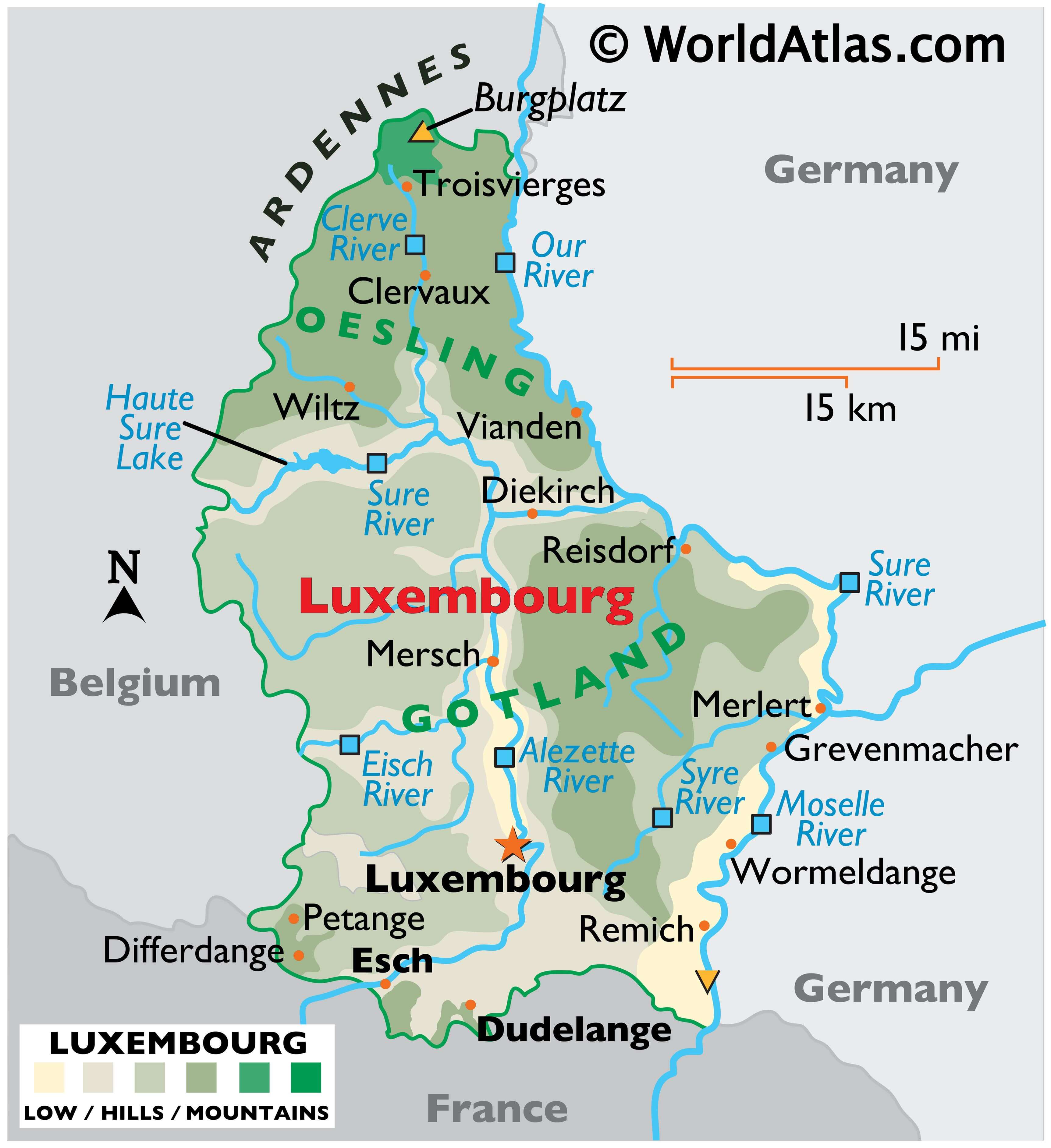
As can be observed on the physical map of Luxembourg, the country is divided into two regions, Oesling and Gotland.
The northern region, (Oesling) is a ridged plateau, with land that suffers from bad soil composition, and remains (for the most part) unproductive.
Slicing across the northern border with Belgium are the Andrennes (low mountains), while the southern region of Gotland is blessed with fertile soil and nourishing rivers.
Luxembourg’s highest point, Burgplatz, stands at 1,843 ft. (559m). A yellow upright triangle marks its position on the map. The lowest point (marked by an inverted triangle) is located at the confluence of Sauer and Moselle Rivers, in Wasserbillig and is 129.9 m above sea level.
Many rivers criss-cross the country. Important rivers include the Alzette, Eisch, Moselle, Our and Sure. The largest lake is Haute Sure.
| Flag: |  |
|---|---|
| Legal Name: | Grand Duchy of Luxembourg |
| Capital Value: | Luxembourg |
| Official languages: | National language: Luxembourgish
Language of legislation: French Administrative languages: Luxembourgish
|
| Demonym(s): |
|
| Government: | Unitary parliamentary constitutional monarchy |
| Legislature: | Chamber of Deputies |
| Total Area: | 2,586 km² |
| Land Area: | 2,586 km² |
| Population: | 619,896 |
| Density: | 242/km (626.8/sq mi) (58th) |
| GDP: | $71.10 Billion |
| GDP Per Capita: | $114,704.59 |
| Currency Value: | Euros (EUR) |
| Driving side: | right |
| Calling code: | +352 |
| Internet TLD: | .lu |
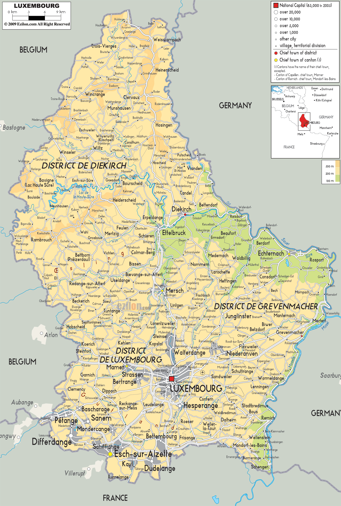
Explore the beauty of Luxembourg with this interactive map! Discover its populated places, rivers, and highways as well as its forests, hills, and built-up areas. Get a closer look at the topography of the country with this satellite and elevation map.
Online Interactive Political Map
Click on ![]() to view map in "full screen" mode.
to view map in "full screen" mode.
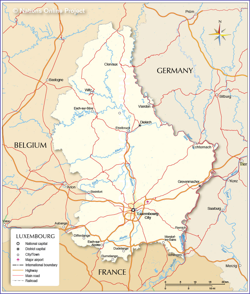
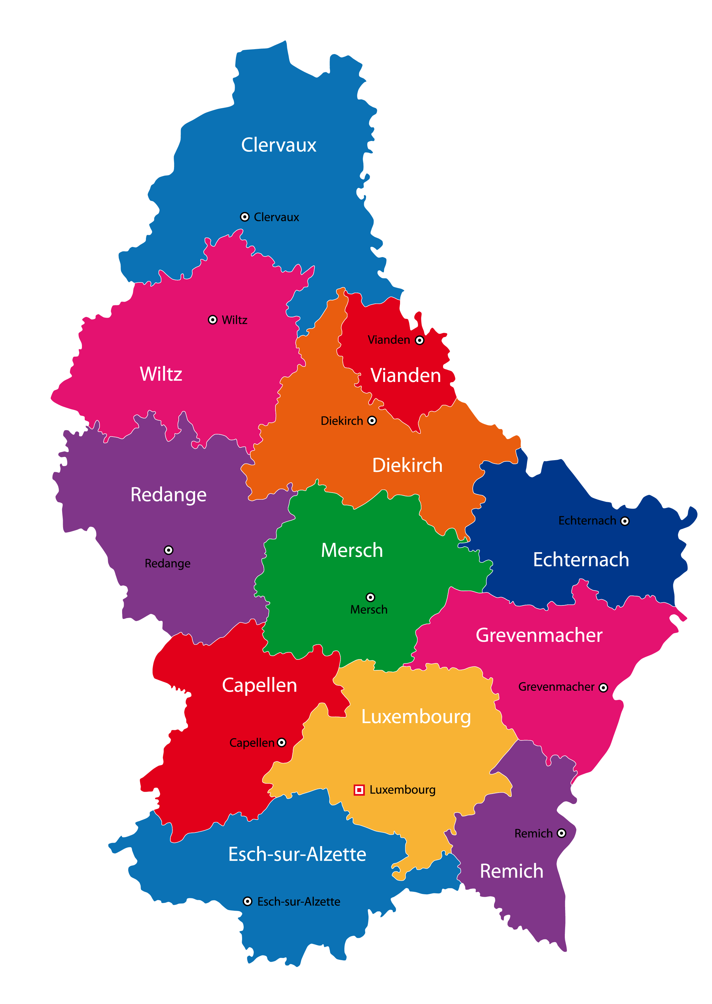
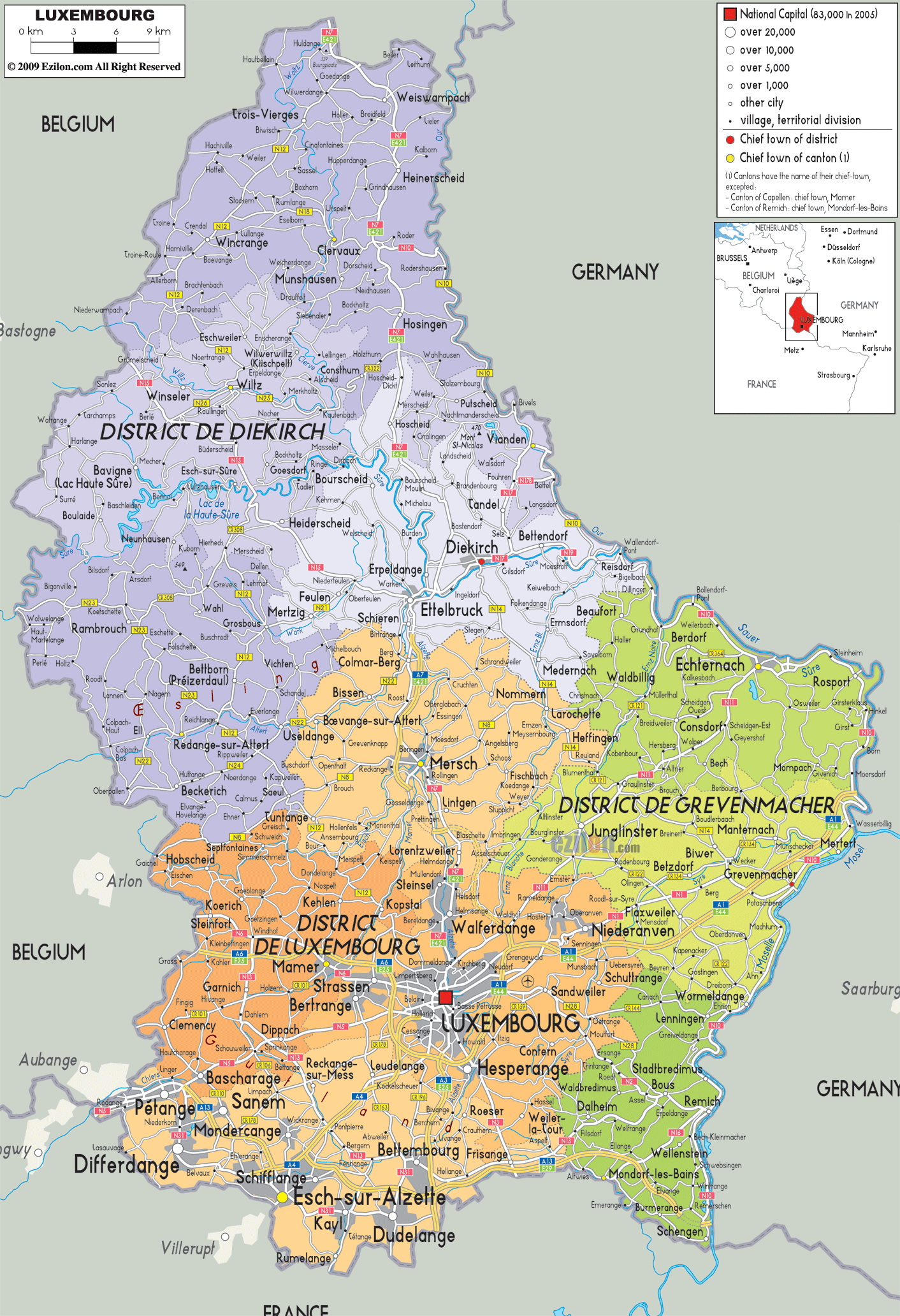
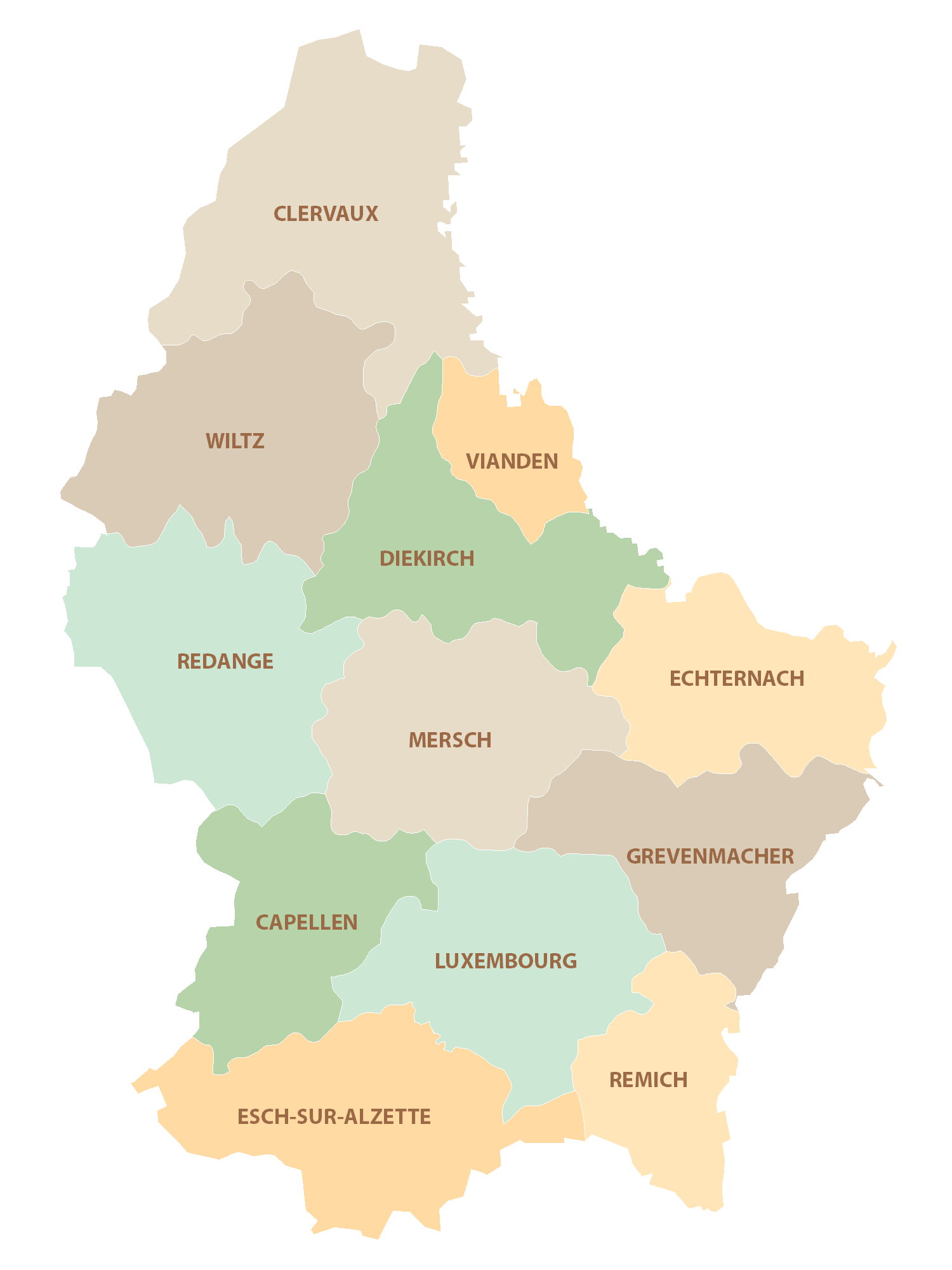
Luxembourg (officially, the Grand Duchy of Luxembourg) is divided into 12 cantons. In alphabetical order these cantons are: Capellen, Clervaux, Diekirch, Echternach, Esch-Sur-Alzette, Grevenmacher, Luxembourg, Mersch, Redange, Remich, Vianden and Wiltz. The cantons are subdivided into 102 communes (municipalities). Of these 102 communes, 12 communes have the status of cities.
With an area of 2,586 sq. km, Luxembourg is one of the smallest sovereign countries in Europe. With a population of 626,108 people, Luxembourg is one of the least populated countries in Europe. Located in Southern Luxembourg, at the confluence of Alzette and Petrusse Rivers, Luxembourg –City is the national capital, the largest city and the most populous commune of Luxembourg. It is also the cultural heart of the country. The City of Luxembourg is one of the 4 official capitals and the institutional seats of the EU.
Location Maps
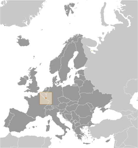
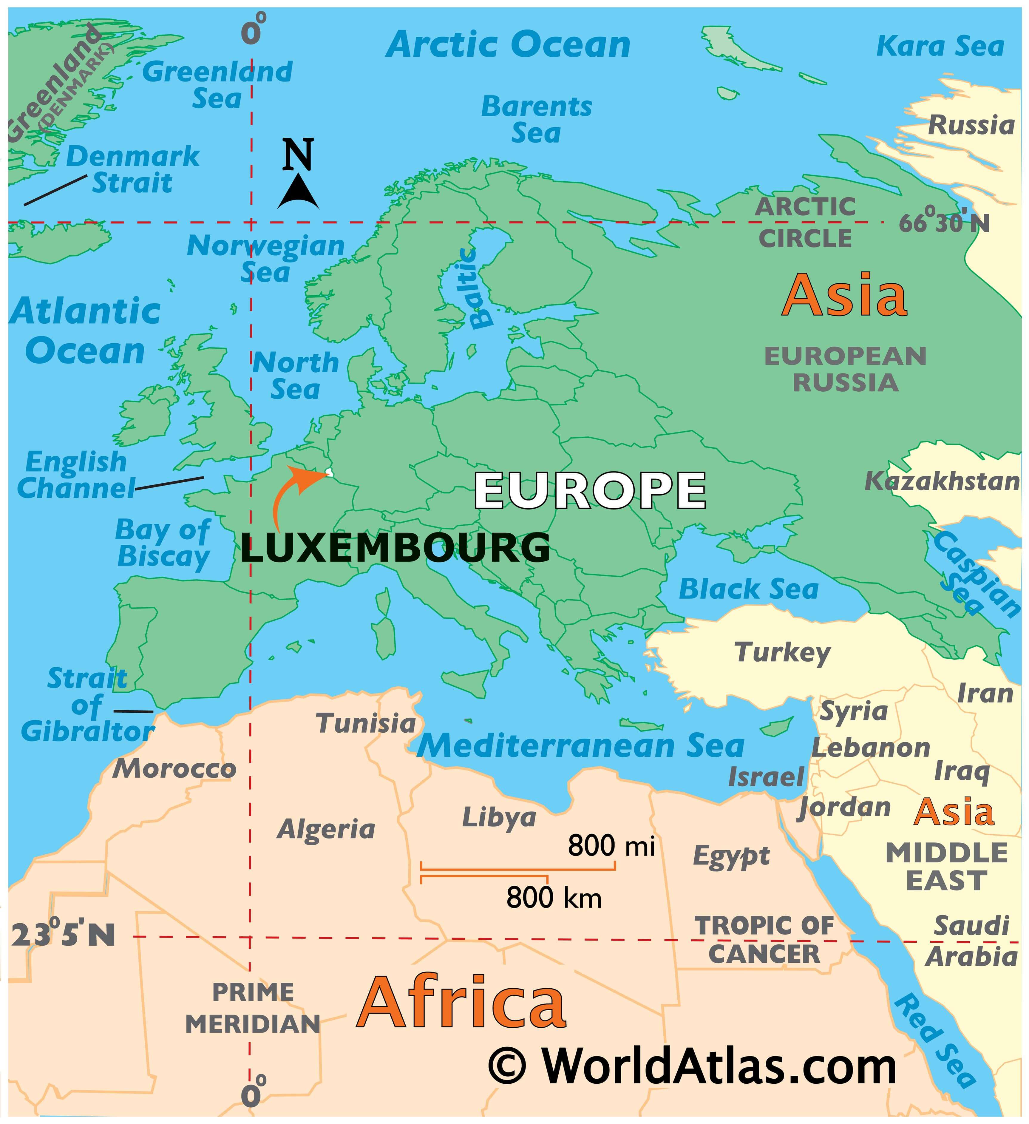
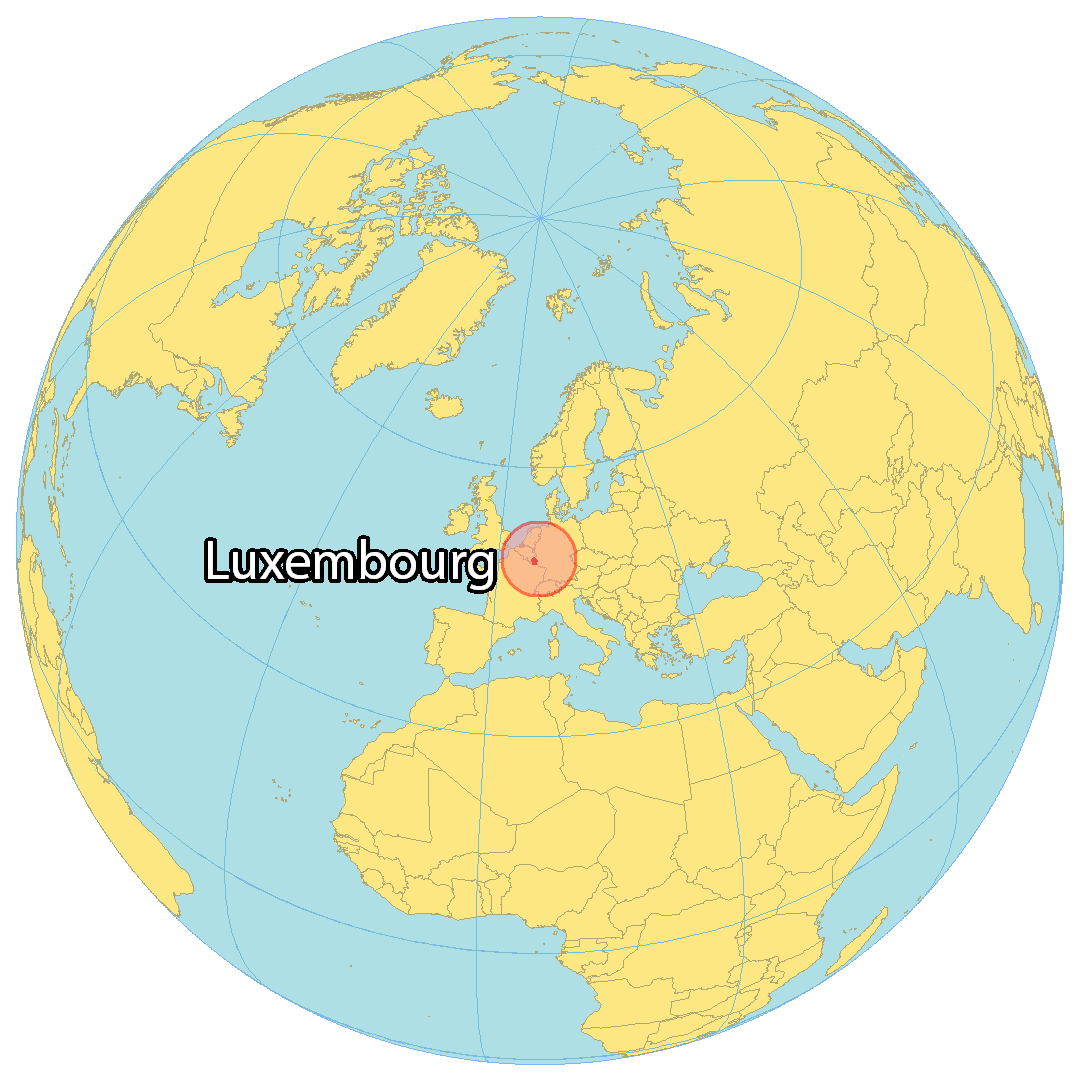
Where is Luxembourg?
Explore the Tiny Country of Luxembourg
Tucked away in the heart of Western Europe is the small, landlocked country of Luxembourg. Bordered by Belgium to the northwest, Germany to the northeast, and France to the south, this tiny country packs quite a punch! With an area of 2,586 square kilometers (999 sq mi), Luxembourg is one of the smallest countries in Europe, yet it is home to the capital and largest city, Luxembourg City, with a population of just over 600,000.
Situated at the intersection of the Alzette and Petrusse rivers, Luxembourg City is an important financial and cultural center in the European Union. It is also one of the wealthiest countries in the EU, with a high standard of living and a rich cultural history.
Whether you’re looking for a unique travel destination or a place to call home, Luxembourg is sure to have something for everyone. So come explore this tiny corner of Europe and discover all that it has to offer!
High Definition Political Map of Luxembourg
Luxembourg Administrative Map
Physical Map of Luxembourg
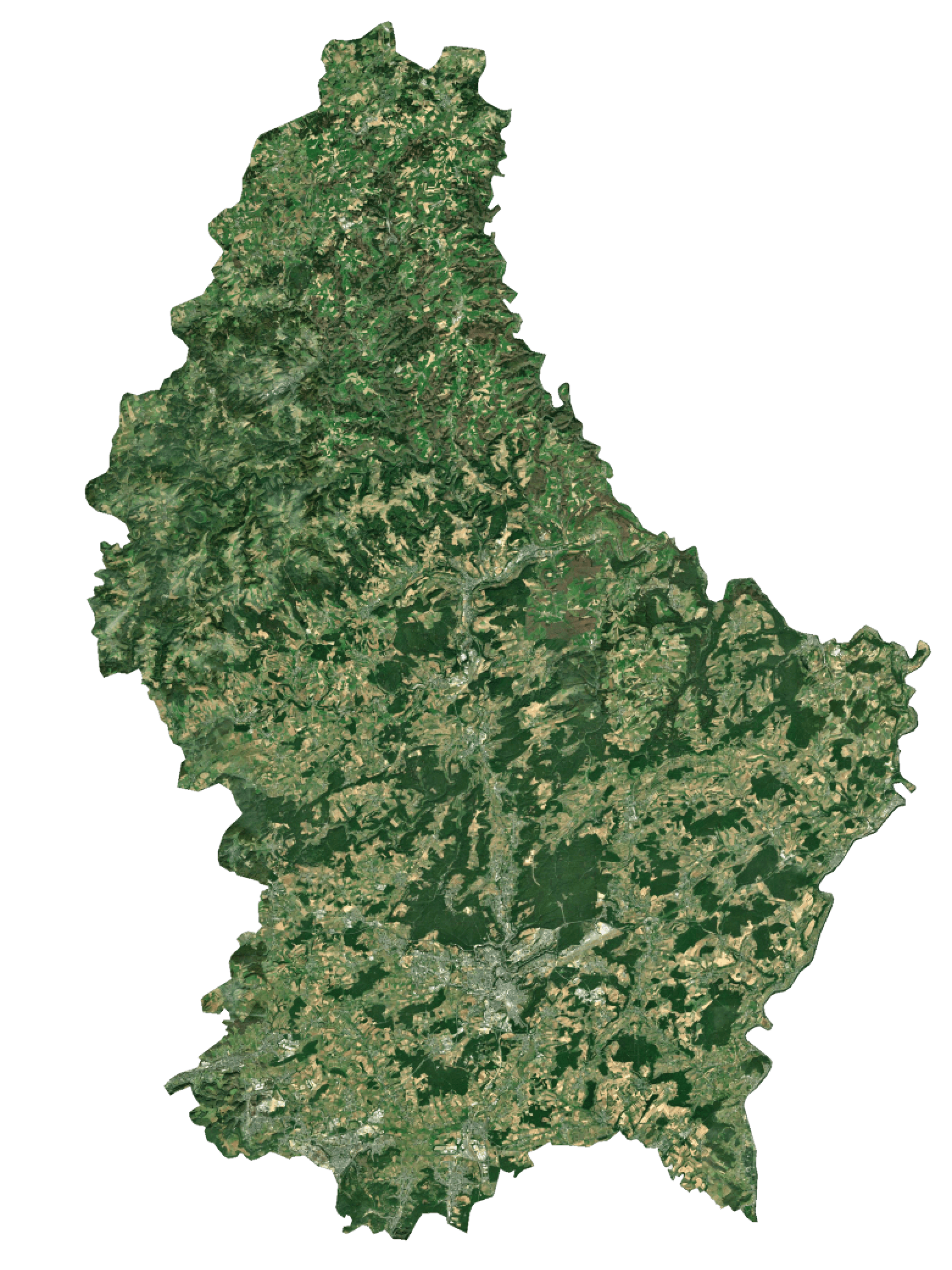
Luxembourg Satellite Map
Elevation Map