North Ridgeville is a city located along the eastern border of Lorain County, Ohio, United States. The city’s population was 35,280 as of the 2020 census. A part of the Cleveland metropolitan area, North Ridgeville is the fastest-growing city in northern Ohio. It has been ranked the 13th safest city in the United States and the safest in Ohio.
Located 8 miles (13 km) from Cleveland Hopkins International Airport, and 18 miles (29 km) west of downtown Cleveland, North Ridgeville is the third-largest city in Lorain County and the 37th most populous city in Ohio. North Ridgeville is home to a 350,000 square foot Riddell Sports Group production and distribution center, where National Football League and NCAA helmets and pads are produced. It is also home to a campus of Lorain County Community College and a branch of University Hospitals Cleveland Medical Center.
| Name: | North Ridgeville city |
|---|---|
| LSAD Code: | 25 |
| LSAD Description: | city (suffix) |
| State: | Ohio |
| County: | Lorain County |
| Elevation: | 728 ft (222 m) |
| Total Area: | 23.60 sq mi (61.12 km²) |
| Land Area: | 23.44 sq mi (60.72 km²) |
| Water Area: | 0.16 sq mi (0.40 km²) |
| Total Population: | 35,280 |
| Population Density: | 1,504.99/sq mi (581.07/km²) |
| ZIP code: | 44039 |
| Area code: | 440 |
| FIPS code: | 3956966 |
| GNISfeature ID: | 1065174 |
| Website: | www.nridgeville.org |
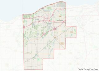
Online Interactive Map
Click on ![]() to view map in "full screen" mode.
to view map in "full screen" mode.
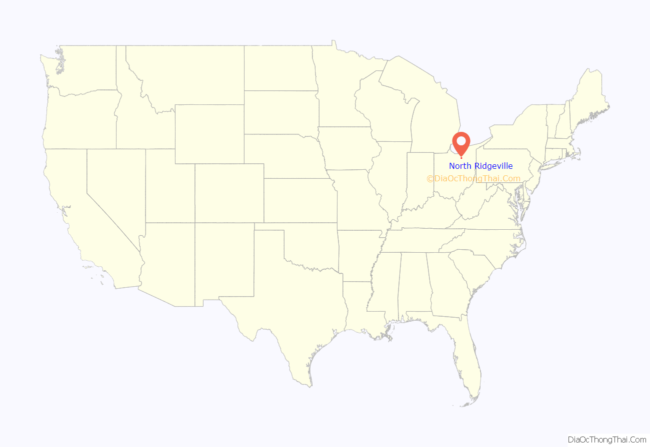
North Ridgeville location map. Where is North Ridgeville city?
History
The first settlement of what is now North Ridgeville was made in 1810. The village was named for a ridge near the original town site.
The former North Ridgeville Town Hall and Samuel C. Cahoon House are listed on the National Register of Historic Places.
North Ridgeville Road Map
North Ridgeville city Satellite Map
Geography
North Ridgeville is located in Northeast Ohio at 41°23′22″N 82°0′17″W / 41.38944°N 82.00472°W / 41.38944; -82.00472 (41.389546, -82.004605).
According to the United States Census Bureau, the city has an area of 23.58 square miles (61.07 km), of which 23.44 square miles (60.71 km) is land and 0.14 square miles (0.36 km) is water.
The city of North Ridgeville has a post office, with the zip code of 44039. This zip code covers most of the city. Some sections of the city use zip codes 44035, 44011 and 44044..
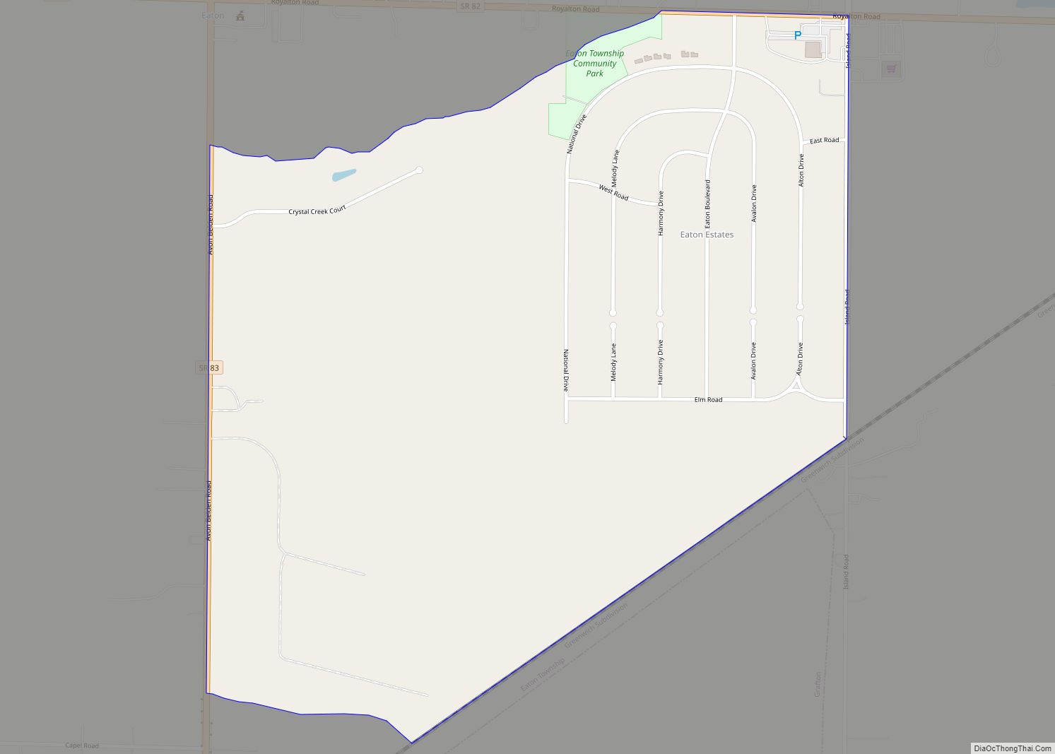
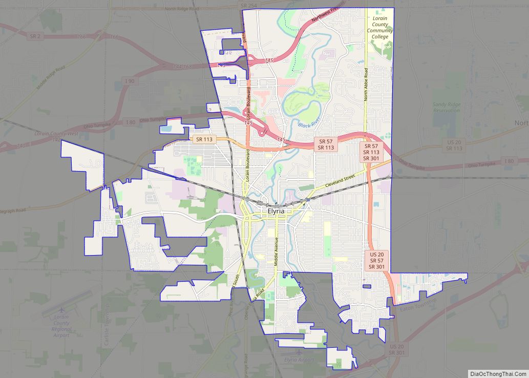
Located in eastern Lorain County, it borders the following municipalities and townships:
- Avon, Lorain County – north
- Westlake, Cuyahoga County – northeast
- North Olmsted, Cuyahoga County – east
- Olmsted Township, Cuyahoga County – southeast
- Columbia Township, Lorain County – southeast corner
- Eaton Township, Lorain County – south
- Elyria, Lorain County – west
- Sheffield, Lorain County – northwest corner
See also
Map of Ohio State and its subdivision:- Adams
- Allen
- Ashland
- Ashtabula
- Athens
- Auglaize
- Belmont
- Brown
- Butler
- Carroll
- Champaign
- Clark
- Clermont
- Clinton
- Columbiana
- Coshocton
- Crawford
- Cuyahoga
- Darke
- Defiance
- Delaware
- Erie
- Fairfield
- Fayette
- Franklin
- Fulton
- Gallia
- Geauga
- Greene
- Guernsey
- Hamilton
- Hancock
- Hardin
- Harrison
- Henry
- Highland
- Hocking
- Holmes
- Huron
- Jackson
- Jefferson
- Knox
- Lake
- Lake Erie
- Lawrence
- Licking
- Logan
- Lorain
- Lucas
- Madison
- Mahoning
- Marion
- Medina
- Meigs
- Mercer
- Miami
- Monroe
- Montgomery
- Morgan
- Morrow
- Muskingum
- Noble
- Ottawa
- Paulding
- Perry
- Pickaway
- Pike
- Portage
- Preble
- Putnam
- Richland
- Ross
- Sandusky
- Scioto
- Seneca
- Shelby
- Stark
- Summit
- Trumbull
- Tuscarawas
- Union
- Van Wert
- Vinton
- Warren
- Washington
- Wayne
- Williams
- Wood
- Wyandot
- Alabama
- Alaska
- Arizona
- Arkansas
- California
- Colorado
- Connecticut
- Delaware
- District of Columbia
- Florida
- Georgia
- Hawaii
- Idaho
- Illinois
- Indiana
- Iowa
- Kansas
- Kentucky
- Louisiana
- Maine
- Maryland
- Massachusetts
- Michigan
- Minnesota
- Mississippi
- Missouri
- Montana
- Nebraska
- Nevada
- New Hampshire
- New Jersey
- New Mexico
- New York
- North Carolina
- North Dakota
- Ohio
- Oklahoma
- Oregon
- Pennsylvania
- Rhode Island
- South Carolina
- South Dakota
- Tennessee
- Texas
- Utah
- Vermont
- Virginia
- Washington
- West Virginia
- Wisconsin
- Wyoming
