Oak Harbor is a village in Ottawa County, Ohio, United States. Oak Harbor is 30 miles east of Downtown Toledo. The population was 2,759 at the 2010 census. It lies a short distance southwest of the Davis-Besse Nuclear Power Station, one of two nuclear power plants in Ohio.
| Name: | Oak Harbor village |
|---|---|
| LSAD Code: | 47 |
| LSAD Description: | village (suffix) |
| State: | Ohio |
| County: | Ottawa County |
| Elevation: | 581 ft (177 m) |
| Total Area: | 1.71 sq mi (4.42 km²) |
| Land Area: | 1.55 sq mi (4.03 km²) |
| Water Area: | 0.15 sq mi (0.40 km²) |
| Total Population: | 2,821 |
| Population Density: | 1,815.32/sq mi (700.69/km²) |
| ZIP code: | 43449 |
| Area code: | 419 |
| FIPS code: | 3957582 |
| GNISfeature ID: | 1065474 |
| Website: | http://www.oakharbor.oh.us/ |
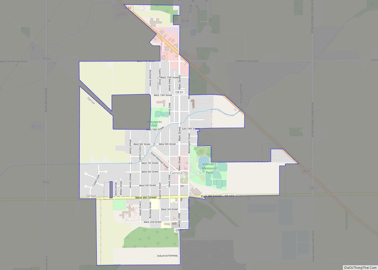
Online Interactive Map
Click on ![]() to view map in "full screen" mode.
to view map in "full screen" mode.
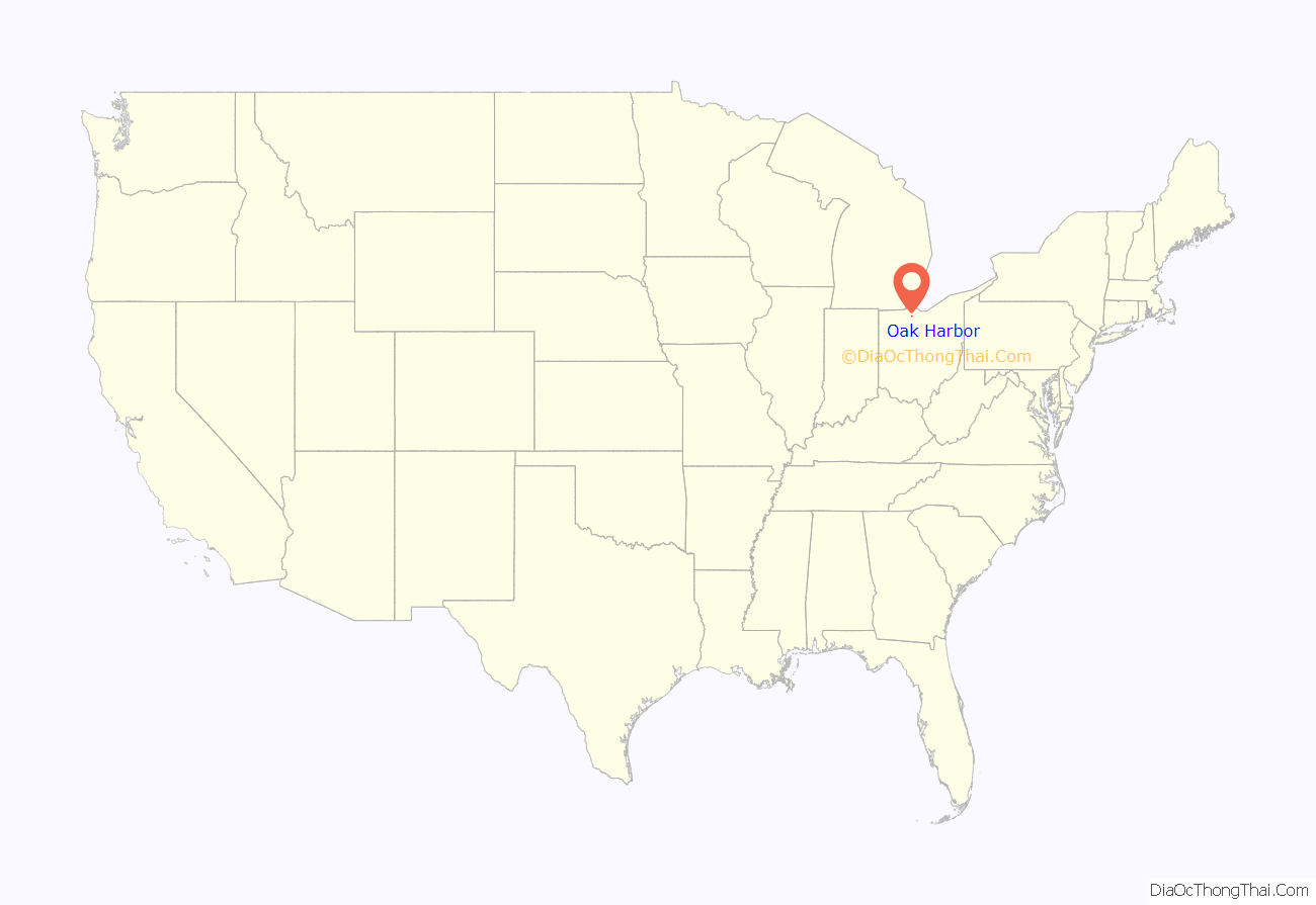
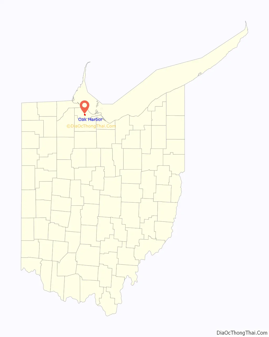
Oak Harbor location map. Where is Oak Harbor village?
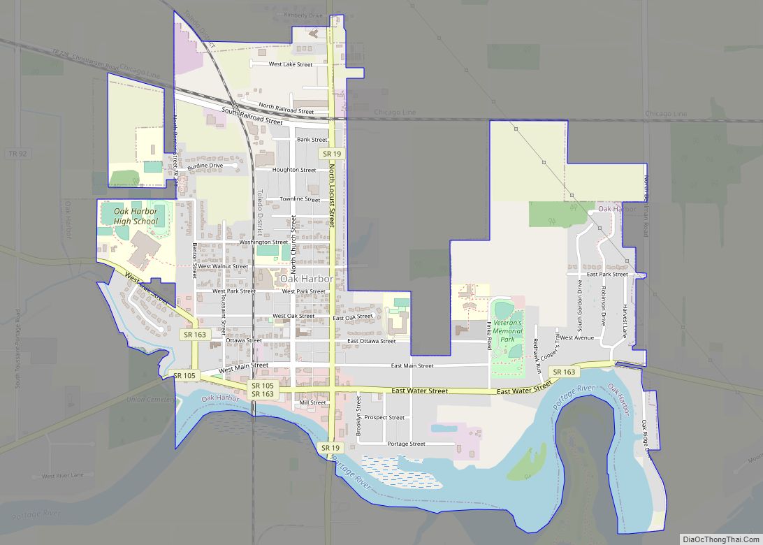
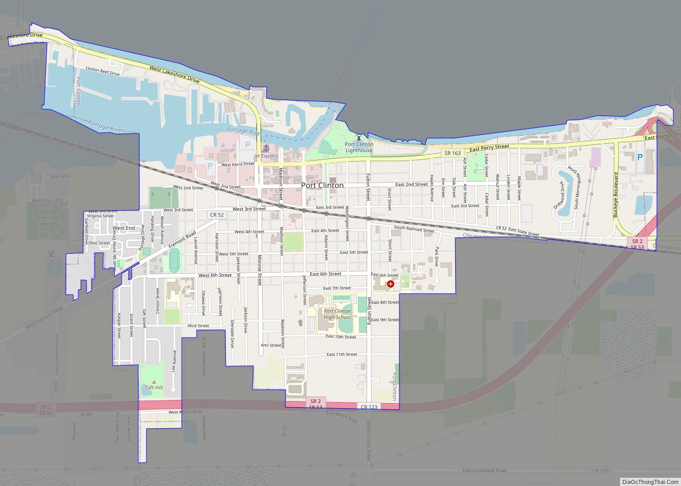
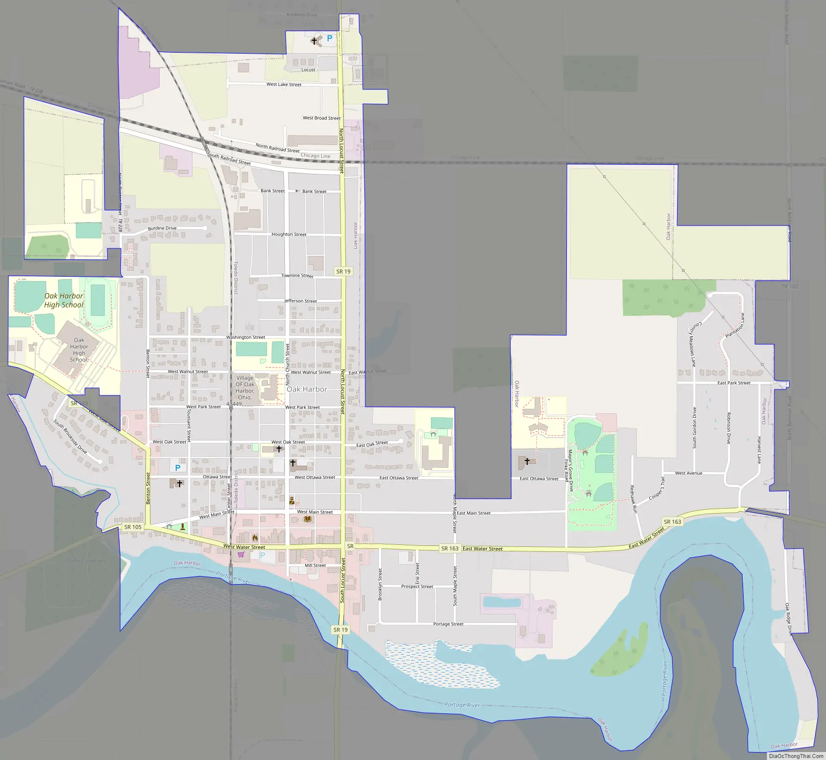
Oak Harbor Road Map
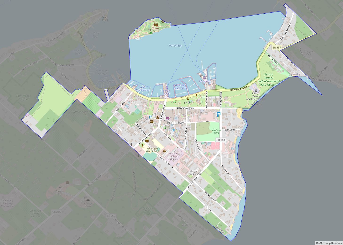
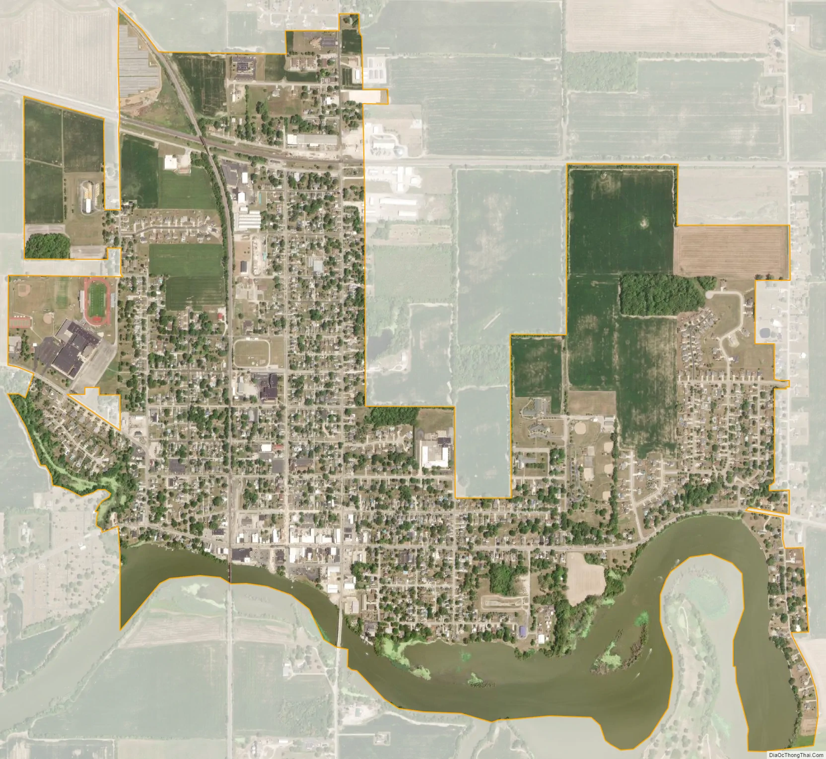
Oak Harbor city Satellite Map
Geography
Oak Harbor is located at 41°30′46″N 83°8′48″W / 41.51278°N 83.14667°W / 41.51278; -83.14667 (41.512773, -83.146578).
According to the United States Census Bureau, the village has a total area of 1.70 square miles (4.40 km), of which 1.55 square miles (4.01 km) is land and 0.15 square miles (0.39 km) is water.
The Portage River flows through Oak Harbor on its way to Lake Erie at Port Clinton.
See also
Map of Ohio State and its subdivision:- Adams
- Allen
- Ashland
- Ashtabula
- Athens
- Auglaize
- Belmont
- Brown
- Butler
- Carroll
- Champaign
- Clark
- Clermont
- Clinton
- Columbiana
- Coshocton
- Crawford
- Cuyahoga
- Darke
- Defiance
- Delaware
- Erie
- Fairfield
- Fayette
- Franklin
- Fulton
- Gallia
- Geauga
- Greene
- Guernsey
- Hamilton
- Hancock
- Hardin
- Harrison
- Henry
- Highland
- Hocking
- Holmes
- Huron
- Jackson
- Jefferson
- Knox
- Lake
- Lake Erie
- Lawrence
- Licking
- Logan
- Lorain
- Lucas
- Madison
- Mahoning
- Marion
- Medina
- Meigs
- Mercer
- Miami
- Monroe
- Montgomery
- Morgan
- Morrow
- Muskingum
- Noble
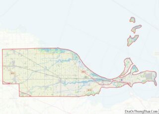
- Ottawa
- Paulding
- Perry
- Pickaway
- Pike
- Portage
- Preble
- Putnam
- Richland
- Ross
- Sandusky
- Scioto
- Seneca
- Shelby
- Stark
- Summit
- Trumbull
- Tuscarawas
- Union
- Van Wert
- Vinton
- Warren
- Washington
- Wayne
- Williams
- Wood
- Wyandot
- Alabama
- Alaska
- Arizona
- Arkansas
- California
- Colorado
- Connecticut
- Delaware
- District of Columbia
- Florida
- Georgia
- Hawaii
- Idaho
- Illinois
- Indiana
- Iowa
- Kansas
- Kentucky
- Louisiana
- Maine
- Maryland
- Massachusetts
- Michigan
- Minnesota
- Mississippi
- Missouri
- Montana
- Nebraska
- Nevada
- New Hampshire
- New Jersey
- New Mexico
- New York
- North Carolina
- North Dakota
- Ohio
- Oklahoma
- Oregon
- Pennsylvania
- Rhode Island
- South Carolina
- South Dakota
- Tennessee
- Texas
- Utah
- Vermont
- Virginia
- Washington
- West Virginia
- Wisconsin
- Wyoming