Obetz is a village in Franklin County, Ohio, United States. The population was 5,489 at the 2020 census.
| Name: | Obetz village |
|---|---|
| LSAD Code: | 47 |
| LSAD Description: | village (suffix) |
| State: | Ohio |
| County: | Franklin County |
| Elevation: | 800 ft (228 m) |
| Total Area: | 5.97 sq mi (15.47 km²) |
| Land Area: | 5.83 sq mi (15.09 km²) |
| Water Area: | 0.15 sq mi (0.39 km²) |
| Total Population: | 5,489 |
| Population Density: | 942.32/sq mi (363.84/km²) |
| ZIP code: | 43207 |
| Area code: | 614 and 380 |
| FIPS code: | 3957862 |
| GNISfeature ID: | 1065189 |
Online Interactive Map
Click on ![]() to view map in "full screen" mode.
to view map in "full screen" mode.
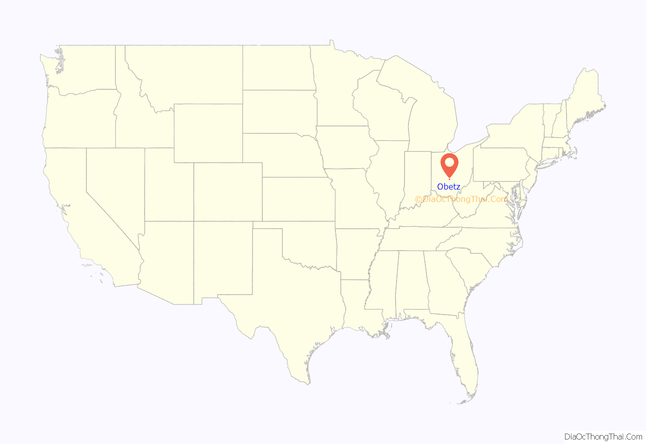
Obetz location map. Where is Obetz village?
History
The community (originally Obetz Junction, in honor of settler Charles Obetz) was formed in 1838 as a stagecoach junction, and incorporated in 1928. Nearby Reese Station served as the railroad station for the immediate area, while other adjacent communities such as Groveport, Lockbourne and Canal Winchester were part of the Ohio and Erie Canal canal and lock system. The close proximity of Obetz Junction to these towns transformed the area into a hub of commerce, travel and trade in the mid-19th century.
Obetz Road Map
Obetz city Satellite Map
Geography
Obetz is located at 39°52′36″N 82°56′30″W / 39.87667°N 82.94167°W / 39.87667; -82.94167 (39.876763, -82.941801).
According to the United States Census Bureau, the village has a total area of 5.92 square miles (15.33 km), of which 5.78 square miles (14.97 km) is land and 0.14 square miles (0.36 km) is water.
See also
Map of Ohio State and its subdivision:- Adams
- Allen
- Ashland
- Ashtabula
- Athens
- Auglaize
- Belmont
- Brown
- Butler
- Carroll
- Champaign
- Clark
- Clermont
- Clinton
- Columbiana
- Coshocton
- Crawford
- Cuyahoga
- Darke
- Defiance
- Delaware
- Erie
- Fairfield
- Fayette
- Franklin
- Fulton
- Gallia
- Geauga
- Greene
- Guernsey
- Hamilton
- Hancock
- Hardin
- Harrison
- Henry
- Highland
- Hocking
- Holmes
- Huron
- Jackson
- Jefferson
- Knox
- Lake
- Lake Erie
- Lawrence
- Licking
- Logan
- Lorain
- Lucas
- Madison
- Mahoning
- Marion
- Medina
- Meigs
- Mercer
- Miami
- Monroe
- Montgomery
- Morgan
- Morrow
- Muskingum
- Noble
- Ottawa
- Paulding
- Perry
- Pickaway
- Pike
- Portage
- Preble
- Putnam
- Richland
- Ross
- Sandusky
- Scioto
- Seneca
- Shelby
- Stark
- Summit
- Trumbull
- Tuscarawas
- Union
- Van Wert
- Vinton
- Warren
- Washington
- Wayne
- Williams
- Wood
- Wyandot
- Alabama
- Alaska
- Arizona
- Arkansas
- California
- Colorado
- Connecticut
- Delaware
- District of Columbia
- Florida
- Georgia
- Hawaii
- Idaho
- Illinois
- Indiana
- Iowa
- Kansas
- Kentucky
- Louisiana
- Maine
- Maryland
- Massachusetts
- Michigan
- Minnesota
- Mississippi
- Missouri
- Montana
- Nebraska
- Nevada
- New Hampshire
- New Jersey
- New Mexico
- New York
- North Carolina
- North Dakota
- Ohio
- Oklahoma
- Oregon
- Pennsylvania
- Rhode Island
- South Carolina
- South Dakota
- Tennessee
- Texas
- Utah
- Vermont
- Virginia
- Washington
- West Virginia
- Wisconsin
- Wyoming
