Oxford is a city in Butler County, Ohio, United States. The population was 23,035 at the 2020 census. A college town, Oxford was founded as a home for Miami University and lies in the southwestern portion of the state approximately 40 miles (64 km) northwest of Cincinnati and 40 miles (64 km) southwest of Dayton. In 2014, Oxford was rated by Forbes as the “Best College Town” in the United States, based on a high percentage of students per capita and part-time jobs, and a low occurrence of brain-drain. It is a part of the Cincinnati metropolitan area.
| Name: | Oxford city |
|---|---|
| LSAD Code: | 25 |
| LSAD Description: | city (suffix) |
| State: | Ohio |
| County: | Butler County |
| Elevation: | 928 ft (283 m) |
| Total Area: | 7.78 sq mi (20.15 km²) |
| Land Area: | 7.78 sq mi (20.14 km²) |
| Water Area: | 0.00 sq mi (0.01 km²) |
| Total Population: | 23,035 |
| Population Density: | 2,962.70/sq mi (1,143.90/km²) |
| ZIP code: | 45056 |
| Area code: | 513 |
| FIPS code: | 3959234 |
| GNISfeature ID: | 1044265 |
| Website: | www.cityofoxford.org |
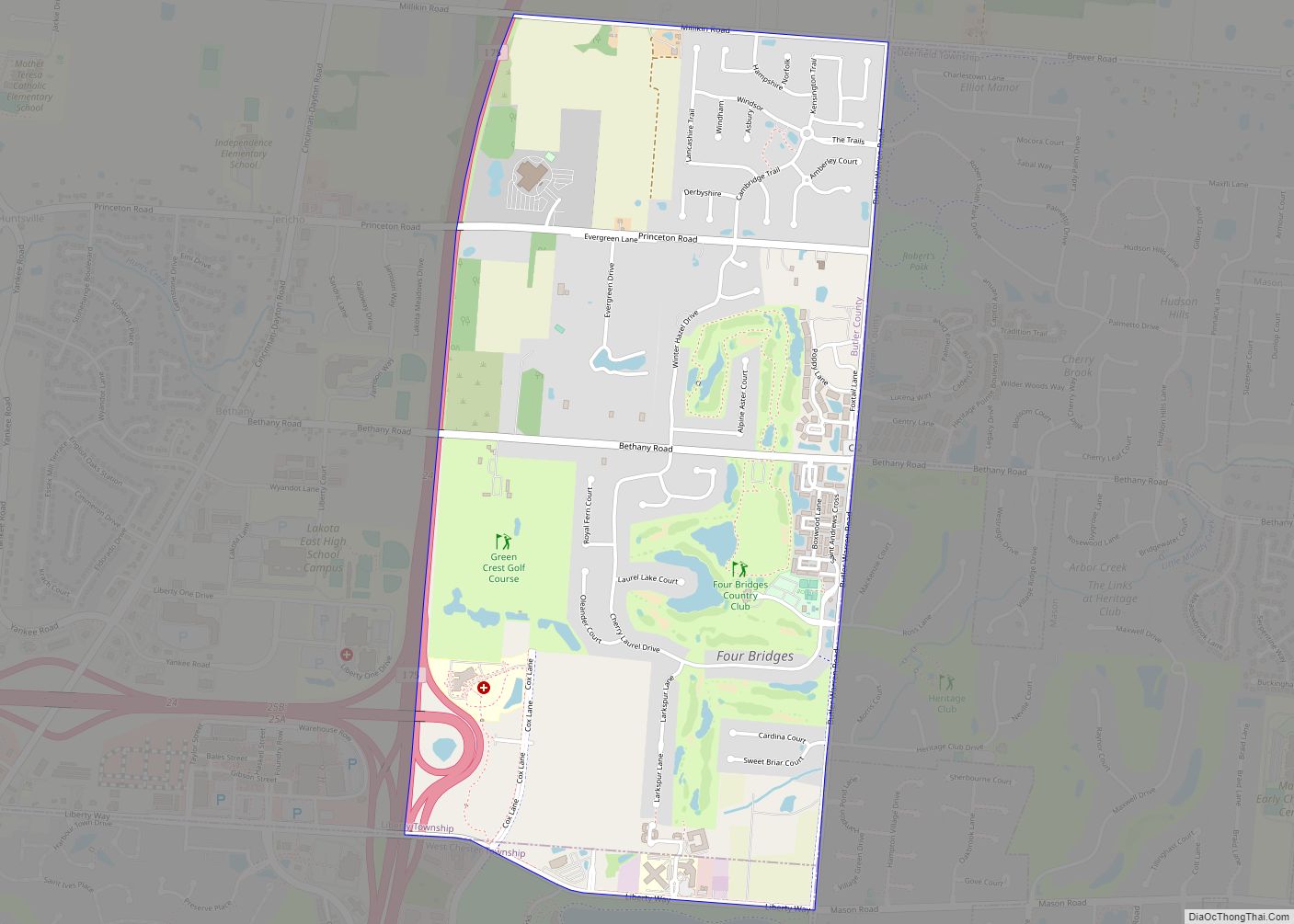
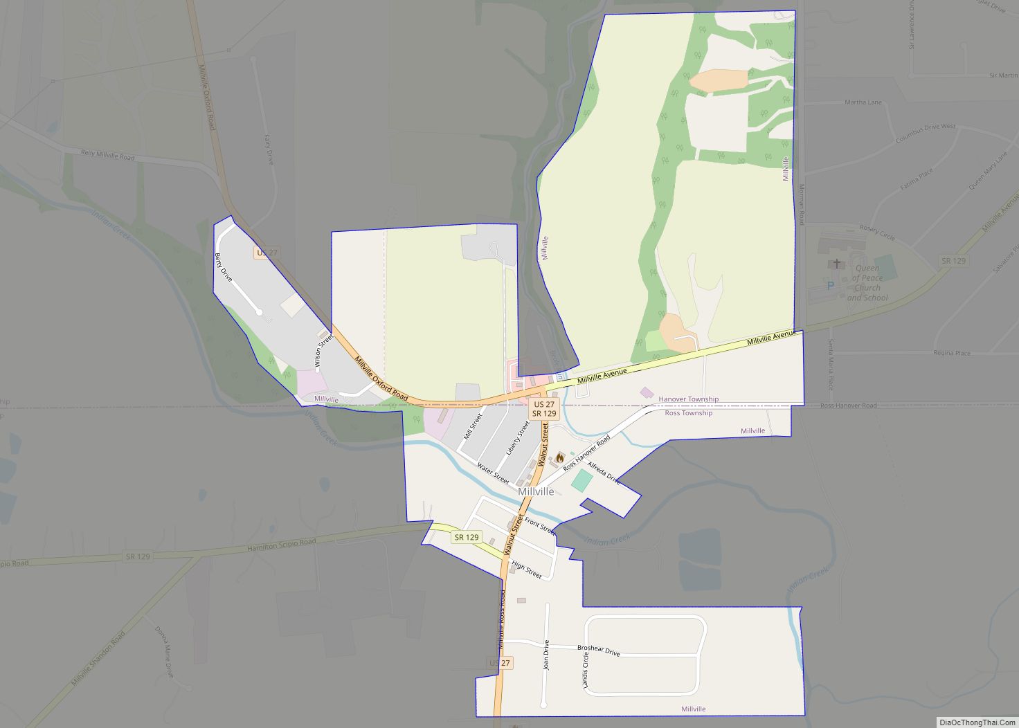
Online Interactive Map
Click on ![]() to view map in "full screen" mode.
to view map in "full screen" mode.
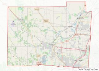
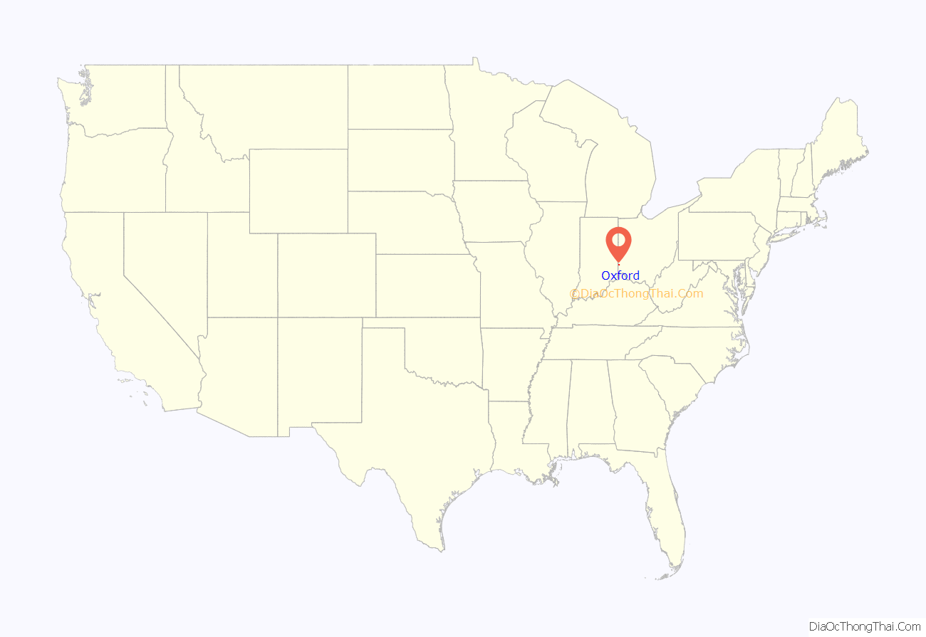
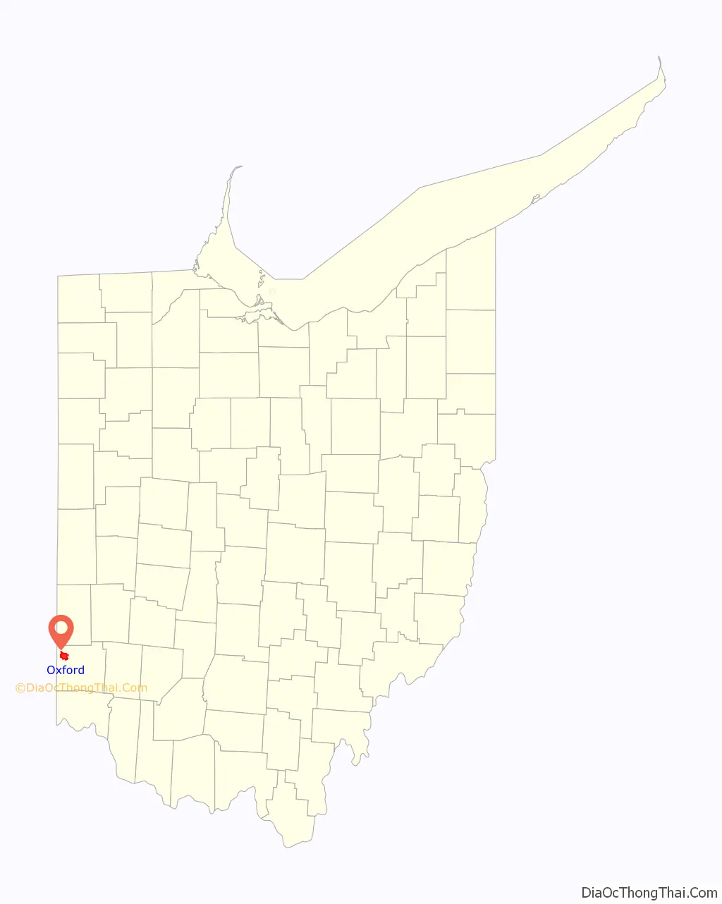
Oxford location map. Where is Oxford city?
History
Miami University was chartered in 1809, and Oxford was laid out by James Heaton on March 29, 1810, by the Ohio General Assembly’s order of February 6, 1810. It was established in Range 1 East, Town 5 North of the Congress Lands in the southeast quarter of Section 22, the southwest corner of Section 23, the northwest corner of Section 26, and the northeast corner of Section 27. The original village, consisting of 128 lots, was incorporated on February 23, 1830. Oxford was elevated to city status in 1971. Freedom Summer started with orientations at Western College for Women in June 1964. This event is commemorated near the Kumler Chapel on the Western campus, now a part of Miami University.
Oxford became a qualified Tree City USA as recognized by the National Arbor Day Foundation in 1996.
Freedom Summer
In the summer of 1964, a two-week orientation took place in Oxford at the Western College for Women (which later became part of Miami University in 1974) for Freedom Summer volunteers. The orientation, which took place from June 14 to June 27, included training in non-violent resistance for volunteers in preparation for their trip to Mississippi. Once in Mississippi, volunteers would be attempting to register as many black voters as possible amid the violent atmosphere of a racially segregated state. The orientation at Western was originally planned to take place at Kentucky’s Berea College, but pressure from Berea alumni who didn’t want the controversial volunteer campaign on their campus led organizers to find another space further up north so that “the ties to the South were not quite so strong.”
In 2000, a stone monument dedicated to Freedom Summer was built next to the Kumler Chapel on Western Campus. According to Miami University’s website,
The memorial tells the story of Freedom Summer with a chronological timeline of events engraved into each limestone bench.
In 2014, there was an addition to the memorial after three Miami University students (Nathan Foley, Jesse Thayer, and Brandon Lowery) built three steel treelike sculptures with wind chimes to fit over the existing trees lining the memorial. These sculptures were made with the intention to further memorialize the brave lives and tragic deaths of James Chaney, Andrew Goodman and Michael Schwerner, the three Freedom Summer volunteers who were murdered while in Mississippi.
2014 also marked the 50th anniversary of Freedom Summer and the volunteer’s training in Oxford. Miami University honored the occasion with a special conference and reunion, titled “50 Years After Freedom Summer: Understanding the Past, Building the Future.”
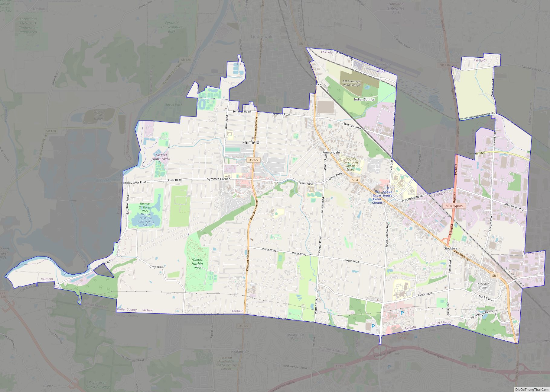
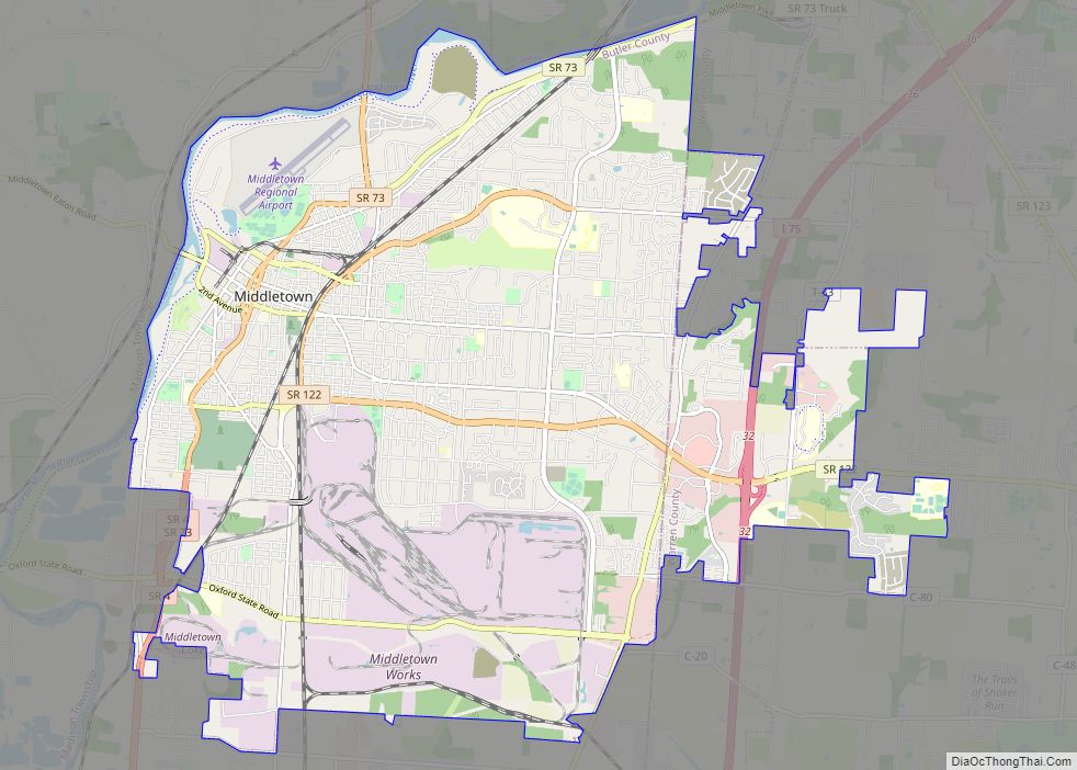
Oxford Road Map
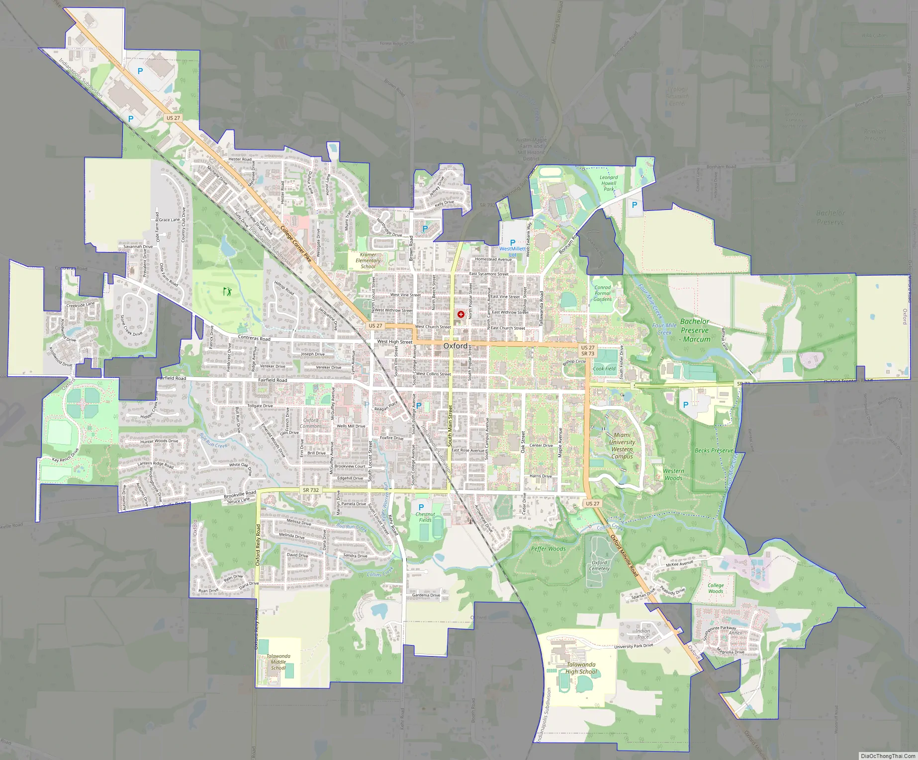
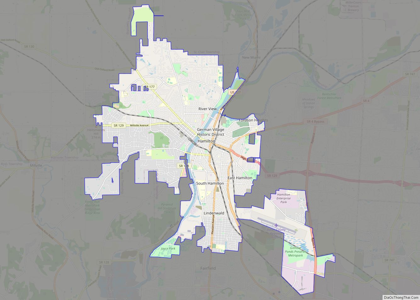
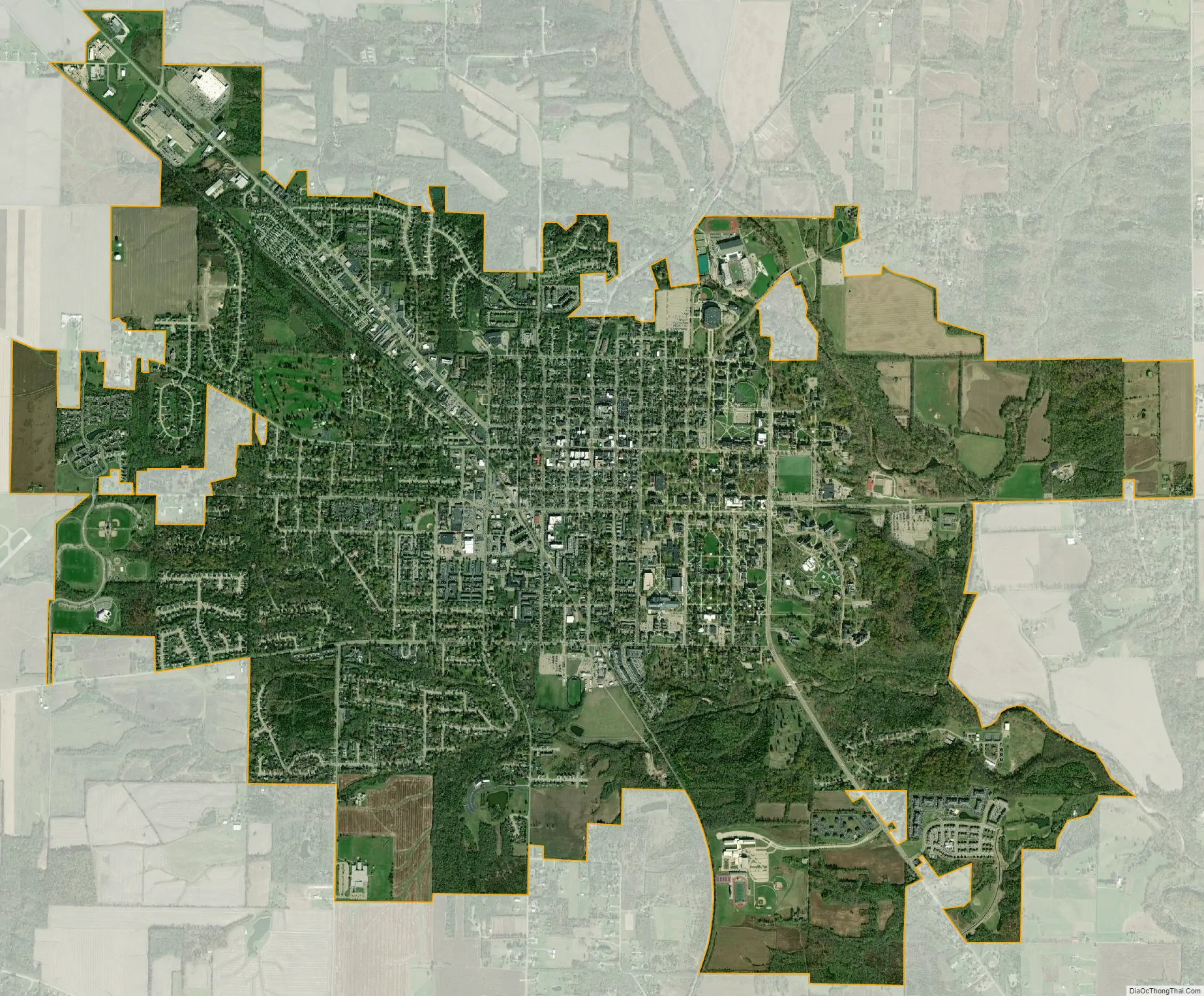
Oxford city Satellite Map
Geography
According to the United States Census Bureau, the city has a total area of 6.68 square miles (17.30 km), all land. Oxford is a part of Oxford Township, originally called the College Township.
See also
Map of Ohio State and its subdivision:- Adams
- Allen
- Ashland
- Ashtabula
- Athens
- Auglaize
- Belmont
- Brown
- Butler
- Carroll
- Champaign
- Clark
- Clermont
- Clinton
- Columbiana
- Coshocton
- Crawford
- Cuyahoga
- Darke
- Defiance
- Delaware
- Erie
- Fairfield
- Fayette
- Franklin
- Fulton
- Gallia
- Geauga
- Greene
- Guernsey
- Hamilton
- Hancock
- Hardin
- Harrison
- Henry
- Highland
- Hocking
- Holmes
- Huron
- Jackson
- Jefferson
- Knox
- Lake
- Lake Erie
- Lawrence
- Licking
- Logan
- Lorain
- Lucas
- Madison
- Mahoning
- Marion
- Medina
- Meigs
- Mercer
- Miami
- Monroe
- Montgomery
- Morgan
- Morrow
- Muskingum
- Noble
- Ottawa
- Paulding
- Perry
- Pickaway
- Pike
- Portage
- Preble
- Putnam
- Richland
- Ross
- Sandusky
- Scioto
- Seneca
- Shelby
- Stark
- Summit
- Trumbull
- Tuscarawas
- Union
- Van Wert
- Vinton
- Warren
- Washington
- Wayne
- Williams
- Wood
- Wyandot
- Alabama
- Alaska
- Arizona
- Arkansas
- California
- Colorado
- Connecticut
- Delaware
- District of Columbia
- Florida
- Georgia
- Hawaii
- Idaho
- Illinois
- Indiana
- Iowa
- Kansas
- Kentucky
- Louisiana
- Maine
- Maryland
- Massachusetts
- Michigan
- Minnesota
- Mississippi
- Missouri
- Montana
- Nebraska
- Nevada
- New Hampshire
- New Jersey
- New Mexico
- New York
- North Carolina
- North Dakota
- Ohio
- Oklahoma
- Oregon
- Pennsylvania
- Rhode Island
- South Carolina
- South Dakota
- Tennessee
- Texas
- Utah
- Vermont
- Virginia
- Washington
- West Virginia
- Wisconsin
- Wyoming