Phillipsburg is a village in Montgomery County, Ohio, United States. The population was 498 at the 2020 census. It is part of the Dayton Metropolitan Statistical Area.
| Name: | Phillipsburg village |
|---|---|
| LSAD Code: | 47 |
| LSAD Description: | village (suffix) |
| State: | Ohio |
| County: | Montgomery County |
| Elevation: | 1,037 ft (316 m) |
| Total Area: | 0.27 sq mi (0.69 km²) |
| Land Area: | 0.27 sq mi (0.69 km²) |
| Water Area: | 0.00 sq mi (0.00 km²) |
| Total Population: | 498 |
| Population Density: | 1,872.18/sq mi (721.58/km²) |
| ZIP code: | 45354 |
| Area code: | 937, 326 |
| FIPS code: | 3962414 |
| GNISfeature ID: | 1056916 |
Online Interactive Map
Click on ![]() to view map in "full screen" mode.
to view map in "full screen" mode.
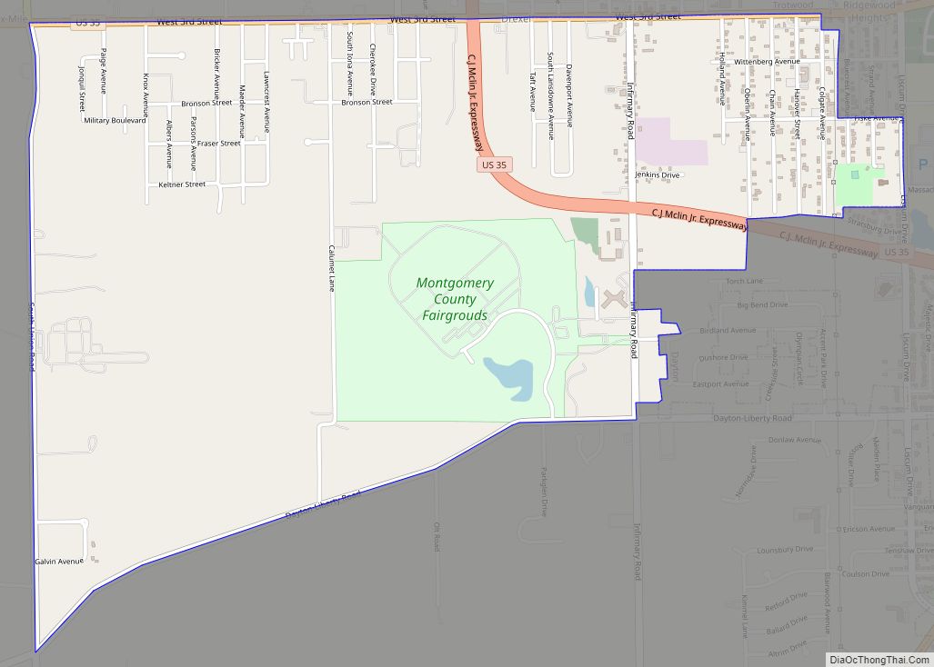
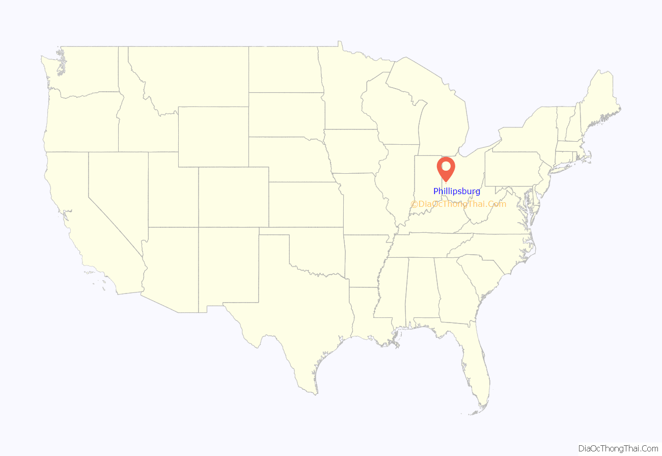
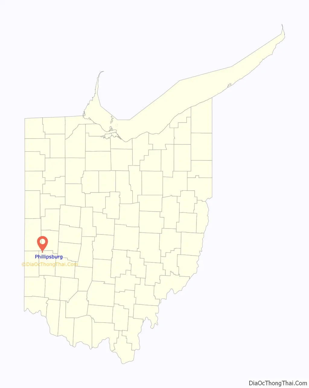
Phillipsburg location map. Where is Phillipsburg village?
History
Phillipsburg was platted in 1836, and named for Philip Studybaker, a member of the town company. A post office was established as Centre in 1848, the name was changed to Center in 1893, and changed again to Phillipsburg in 1903. Phillipsburg was incorporated as a village in 1899.
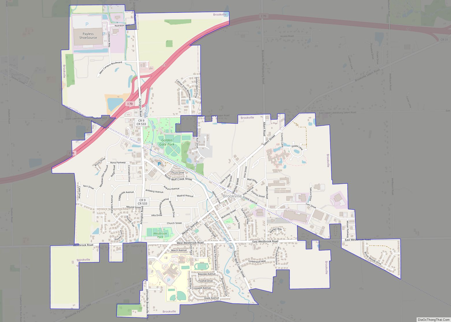
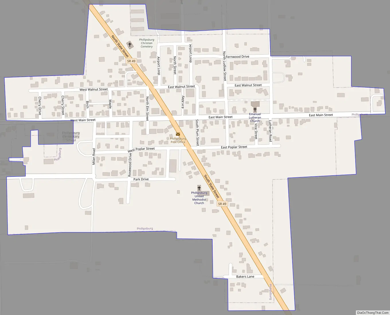
Phillipsburg Road Map
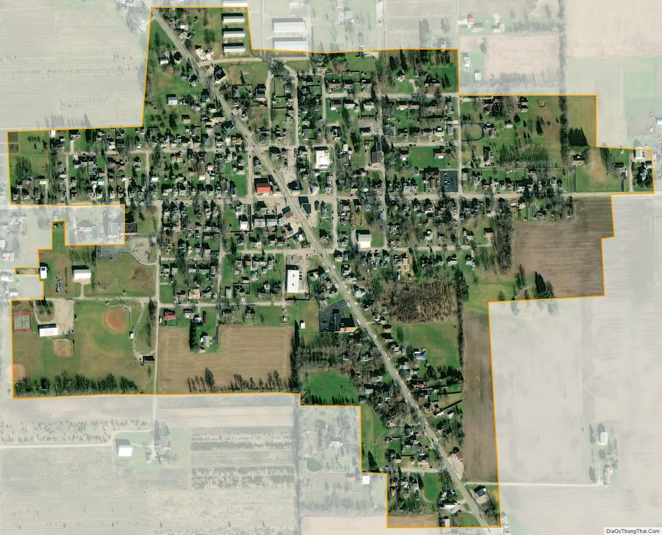
Phillipsburg city Satellite Map
Geography
Phillipsburg is located at 39°54′17″N 84°24′6″W / 39.90472°N 84.40167°W / 39.90472; -84.40167 (39.904603, -84.401630).
According to the United States Census Bureau, the village has a total area of 0.27 square miles (0.70 km), all land.
See also
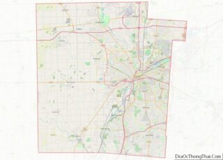
Map of Ohio State and its subdivision:- Adams
- Allen
- Ashland
- Ashtabula
- Athens
- Auglaize
- Belmont
- Brown
- Butler
- Carroll
- Champaign
- Clark
- Clermont
- Clinton
- Columbiana
- Coshocton
- Crawford
- Cuyahoga
- Darke
- Defiance
- Delaware
- Erie
- Fairfield
- Fayette
- Franklin
- Fulton
- Gallia
- Geauga
- Greene
- Guernsey
- Hamilton
- Hancock
- Hardin
- Harrison
- Henry
- Highland
- Hocking
- Holmes
- Huron
- Jackson
- Jefferson
- Knox
- Lake
- Lake Erie
- Lawrence
- Licking
- Logan
- Lorain
- Lucas
- Madison
- Mahoning
- Marion
- Medina
- Meigs
- Mercer
- Miami
- Monroe
- Montgomery
- Morgan
- Morrow
- Muskingum
- Noble
- Ottawa
- Paulding
- Perry
- Pickaway
- Pike
- Portage
- Preble
- Putnam
- Richland
- Ross
- Sandusky
- Scioto
- Seneca
- Shelby
- Stark
- Summit
- Trumbull
- Tuscarawas
- Union
- Van Wert
- Vinton
- Warren
- Washington
- Wayne
- Williams
- Wood
- Wyandot
- Alabama
- Alaska
- Arizona
- Arkansas
- California
- Colorado
- Connecticut
- Delaware
- District of Columbia
- Florida
- Georgia
- Hawaii
- Idaho
- Illinois
- Indiana
- Iowa
- Kansas
- Kentucky
- Louisiana
- Maine
- Maryland
- Massachusetts
- Michigan
- Minnesota
- Mississippi
- Missouri
- Montana
- Nebraska
- Nevada
- New Hampshire
- New Jersey
- New Mexico
- New York
- North Carolina
- North Dakota
- Ohio
- Oklahoma
- Oregon
- Pennsylvania
- Rhode Island
- South Carolina
- South Dakota
- Tennessee
- Texas
- Utah
- Vermont
- Virginia
- Washington
- West Virginia
- Wisconsin
- Wyoming