Pickerington is a city in Fairfield and Franklin counties in the central region of the U.S. state of Ohio. It is a suburb of Columbus. The population was 23,094 at the 2020 census. It was founded in 1815 as Jacksonville, named after Andrew Jackson. The name was changed in 1827 in honor of its founder, Abraham Pickering. As land annexation, development, and immigration into the Columbus area continues, the city of Pickerington (like many area suburbs) has generally followed suit. Pickerington is home to the Motorcycle Hall of Fame, located off of Interstate 70.
The Ohio Secretary of State certified Pickerington as a city in 1991 and it was designated as the “Violet Capital of Ohio” in 1996 by the Ohio Legislature. At 11.1 sq mi (29 km), Pickerington is the second-largest city in Fairfield County behind Lancaster. Pickerington is located just east of Columbus. The city features a historic downtown shopping area, while Violet Township is home to rolling hills, log houses, forests, and fields.
| Name: | Pickerington city |
|---|---|
| LSAD Code: | 25 |
| LSAD Description: | city (suffix) |
| State: | Ohio |
| County: | Fairfield County, Franklin County |
| Founded: | 1815 |
| Elevation: | 837 ft (255 m) |
| Total Area: | 10.19 sq mi (26.40 km²) |
| Land Area: | 10.19 sq mi (26.40 km²) |
| Water Area: | 0.00 sq mi (0.00 km²) |
| Total Population: | 23,094 |
| Population Density: | 2,265.67/sq mi (874.79/km²) |
| ZIP code: | 43147 |
| Area code: | 614, 380, 740, and 220 |
| FIPS code: | 3962498 |
| GNISfeature ID: | 1061537 |
| Website: | www.ci.pickerington.oh.us |
Online Interactive Map
Click on ![]() to view map in "full screen" mode.
to view map in "full screen" mode.
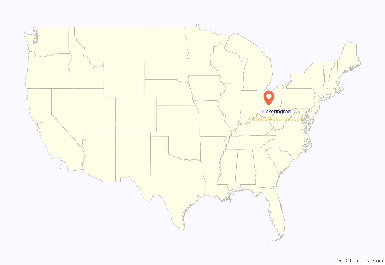
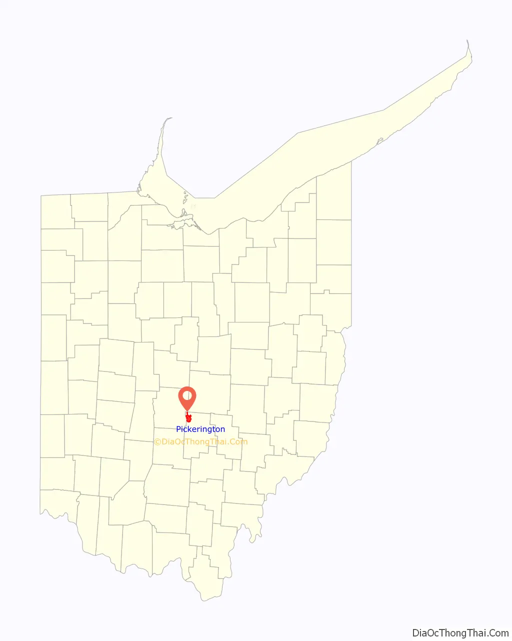
Pickerington location map. Where is Pickerington city?
Pickerington Road Map
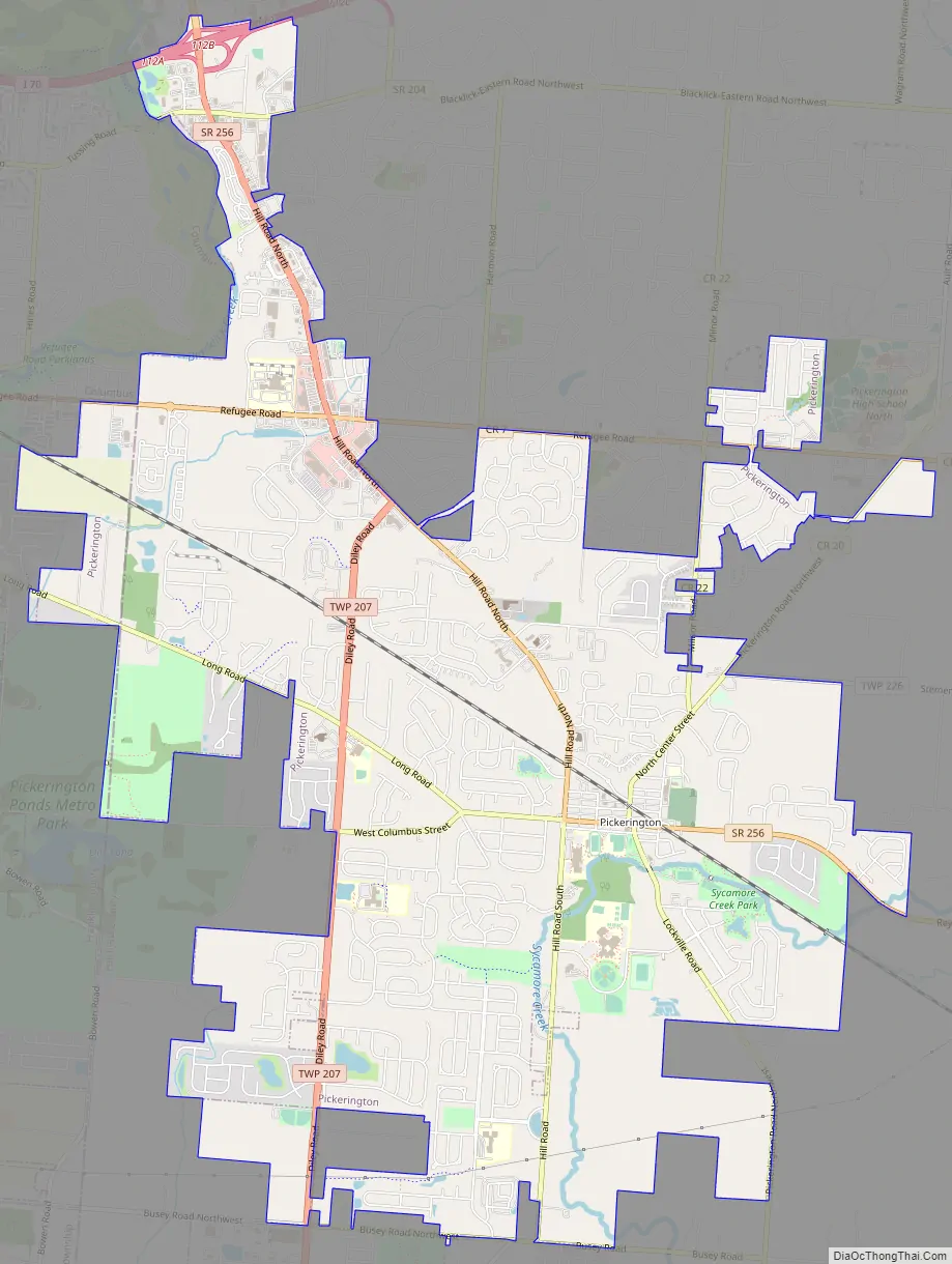
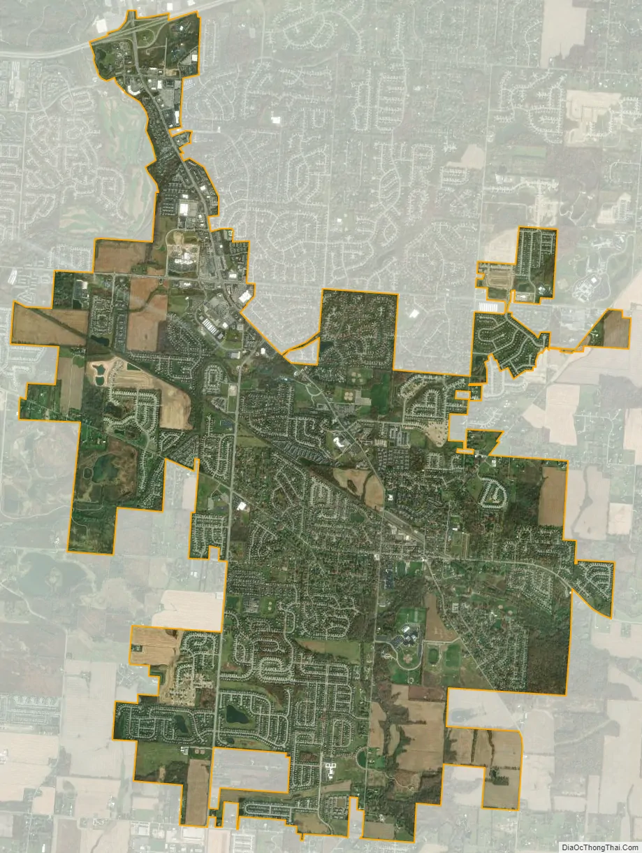
Pickerington city Satellite Map
Geography
Pickerington is located at 39°53′32″N 82°45′50″W / 39.89222°N 82.76389°W / 39.89222; -82.76389 (39.892168, −82.763837).
According to the United States Census Bureau, the city has a total area of 11.1 square miles (28.75 km), all land.
See also
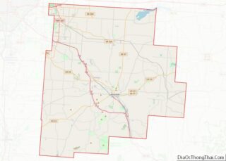
Map of Ohio State and its subdivision:- Adams
- Allen
- Ashland
- Ashtabula
- Athens
- Auglaize
- Belmont
- Brown
- Butler
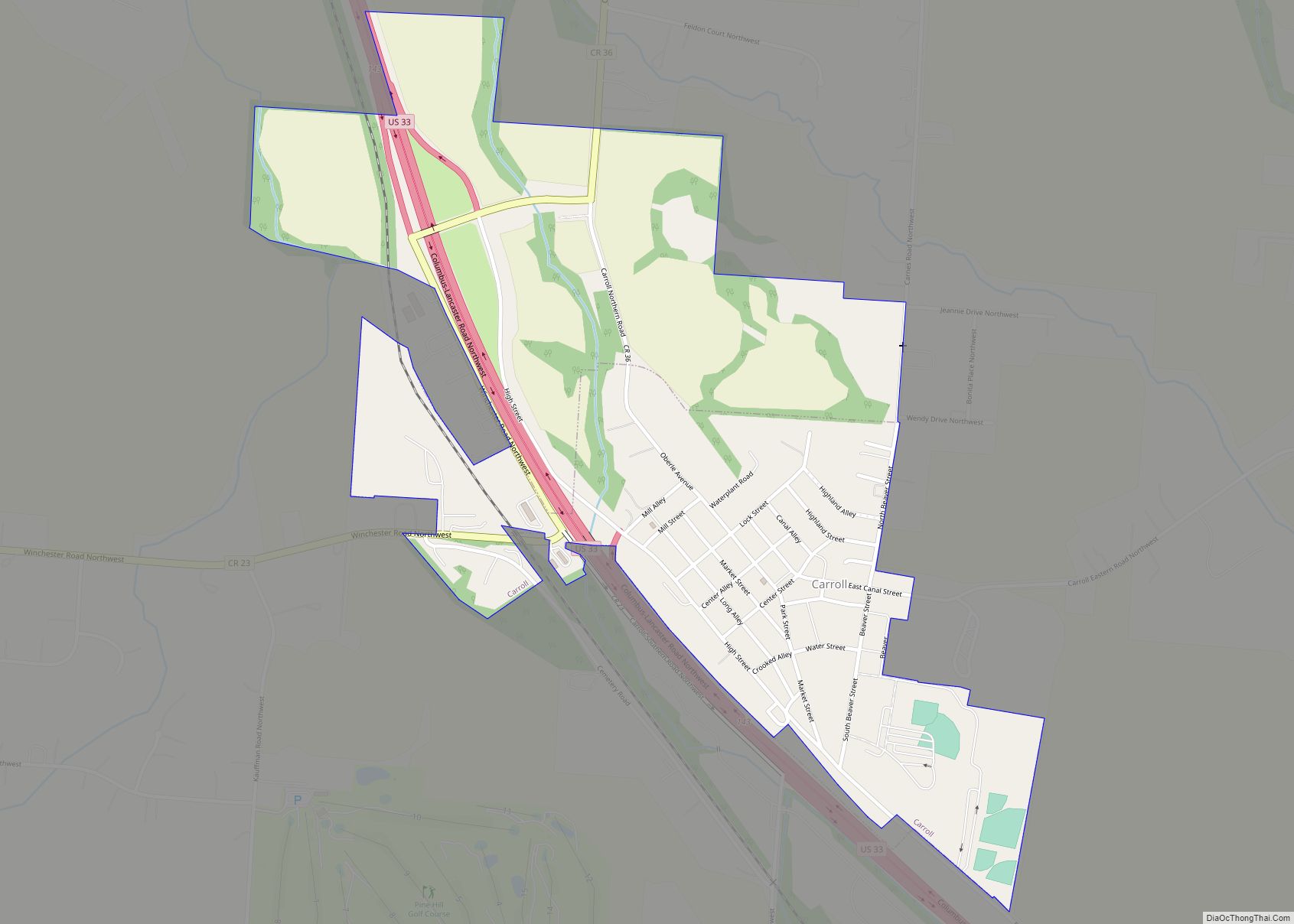
- Carroll
- Champaign
- Clark
- Clermont
- Clinton
- Columbiana
- Coshocton
- Crawford
- Cuyahoga
- Darke
- Defiance
- Delaware
- Erie
- Fairfield
- Fayette
- Franklin
- Fulton
- Gallia
- Geauga
- Greene
- Guernsey
- Hamilton
- Hancock
- Hardin
- Harrison
- Henry
- Highland
- Hocking
- Holmes
- Huron
- Jackson
- Jefferson
- Knox
- Lake
- Lake Erie
- Lawrence
- Licking
- Logan
- Lorain
- Lucas
- Madison
- Mahoning
- Marion
- Medina
- Meigs
- Mercer
- Miami
- Monroe
- Montgomery
- Morgan
- Morrow
- Muskingum
- Noble
- Ottawa
- Paulding
- Perry
- Pickaway
- Pike
- Portage
- Preble
- Putnam
- Richland
- Ross
- Sandusky
- Scioto
- Seneca
- Shelby
- Stark
- Summit
- Trumbull
- Tuscarawas
- Union
- Van Wert
- Vinton
- Warren
- Washington
- Wayne
- Williams
- Wood
- Wyandot
- Alabama
- Alaska
- Arizona
- Arkansas
- California
- Colorado
- Connecticut
- Delaware
- District of Columbia
- Florida
- Georgia
- Hawaii
- Idaho
- Illinois
- Indiana
- Iowa
- Kansas
- Kentucky
- Louisiana
- Maine
- Maryland
- Massachusetts
- Michigan
- Minnesota
- Mississippi
- Missouri
- Montana
- Nebraska
- Nevada
- New Hampshire
- New Jersey
- New Mexico
- New York
- North Carolina
- North Dakota
- Ohio
- Oklahoma
- Oregon
- Pennsylvania
- Rhode Island
- South Carolina
- South Dakota
- Tennessee
- Texas
- Utah
- Vermont
- Virginia
- Washington
- West Virginia
- Wisconsin
- Wyoming