Plymouth is a village in Huron and Richland counties in the U.S. state of Ohio. The population was 1,857 at the 2010 census.
The Richland County portion of Plymouth is part of the Mansfield Metropolitan Statistical Area, while the Huron County portion is part of the Norwalk Micropolitan Statistical Area.
| Name: | Plymouth village |
|---|---|
| LSAD Code: | 47 |
| LSAD Description: | village (suffix) |
| State: | Ohio |
| County: | Huron County, Richland County |
| Elevation: | 1,017 ft (310 m) |
| Total Area: | 2.56 sq mi (6.63 km²) |
| Land Area: | 2.53 sq mi (6.55 km²) |
| Water Area: | 0.03 sq mi (0.08 km²) |
| Total Population: | 1,707 |
| Population Density: | 675.50/sq mi (260.80/km²) |
| ZIP code: | 44865 |
| Area code: | 419 |
| FIPS code: | 3963800 |
| GNISfeature ID: | 1044654 |
| Website: | http://www.plymouthoh.org/ |
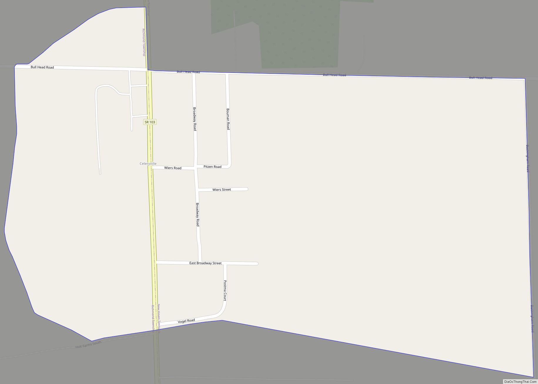
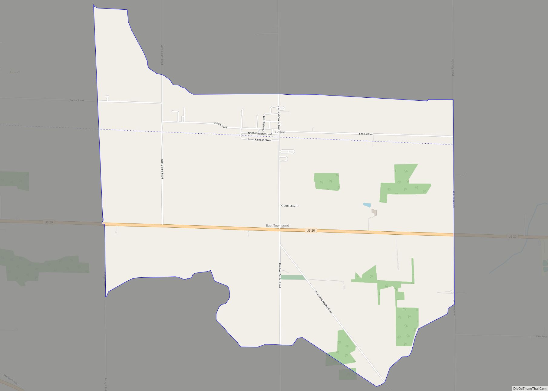
Online Interactive Map
Click on ![]() to view map in "full screen" mode.
to view map in "full screen" mode.
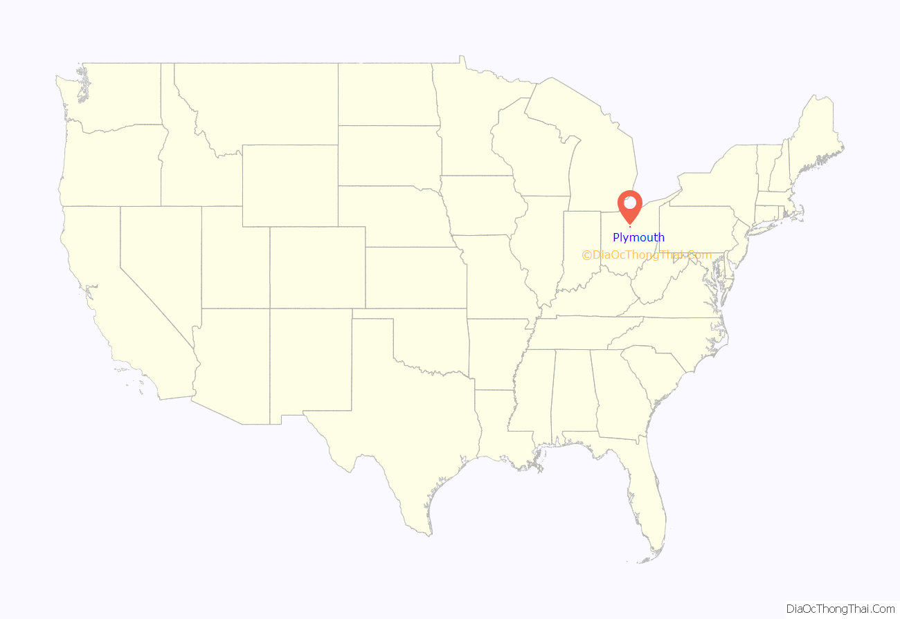
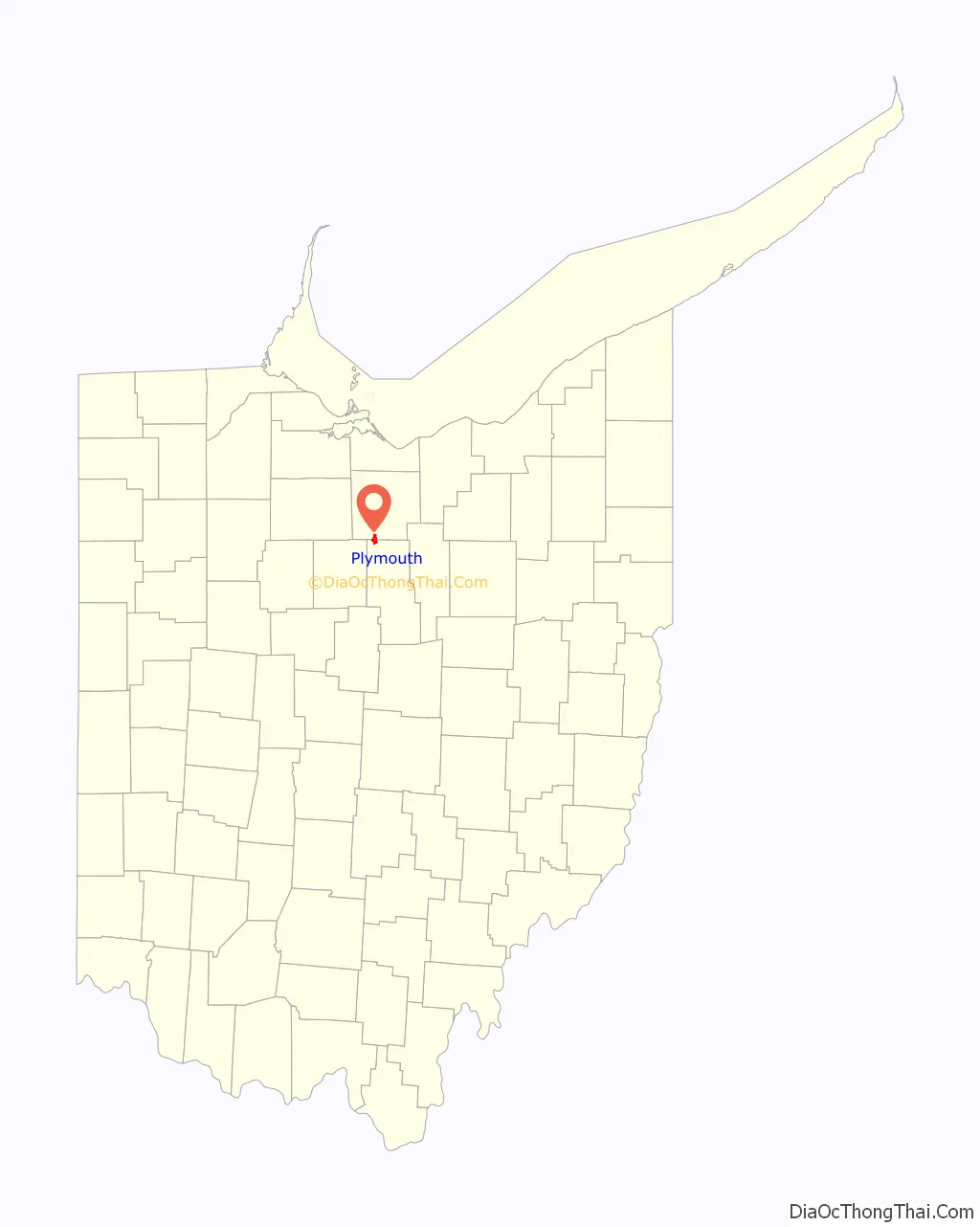
Plymouth location map. Where is Plymouth village?
History
Plymouth was laid out in 1825. The village was named after Plymouth Rock. Plymouth was incorporated in 1834.
Plymouth was formerly the headquarters of the Plymouth Locomotive Works, a builder of industrial railroad locomotives. The factory closed in 1999. The company designed and built an automobile named Plymouth in the early part of the century, but it was not mass-produced, but there were trucks and tractors produced by Commercial Motor Truck Company under the Plymouth name in the same period. Later, Chrysler Motors developed the Plymouth Automobile Division, but thought the Ohio company had infringed on their name. A court battle ensued over the ownership of the name Plymouth, which Chrysler lost when it was determined the original Plymouth car preceded Chrysler’s by several years.
The Fate-Root-Heath Company
During the Great Depression, the Fate-Root-Heath Company, later called the Plymouth Locomotive Works designed and built the famous Silver King (originally the Plymouth) tractor, a favorite of local farmers and known for its fast road gear. The tractors were produced until the 1954 when it was sold to Mountain State Engineering in West Virginia and then discontinued, and parts returned to Plymouth, OH. After the discontinuation of the Silver King Tractor, the many records, design plans, and many other important information was destroyed near by. Not much remains of primary sources documents, the few that were saved were done by factory employees who knew what this information could be used and needed in the future. From surviving records tractors where shipped to OH, IN, KY, PA, NY, NJ, NH and many other New England & Midwest states. About 200 Plymouth tractors, around 8,500 Silver King tractors were built in several models, styles, and sizes, and 75 Silver Kings were produced by the Mountain State Engineering Company.
In 2019 the Plymouth Tractor will be celebrating it 85th Anniversary.
The Silver Kings of Yesteryear Club (SKY) hosts the annual Silver King Festival during the first full weekend of August when restored Silver Kings & Plymouth tractors from around the world are displayed, this is held in conjunction with the local Volunteer Fireman’s Department Chicken BBQ Festival. The 2019 dates are August 1 thru the 3rd.
The Silver King tractor can also be seen at the National Tractor Pullers Association National Championship Tractor Pull each year in Bowling Green, OH. Where they serve as tow tractor to the start line. As stated by members, they were asked to become tow tractors because the association needed a “silver tractor” for the pull’s Silver Anniversary.
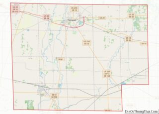
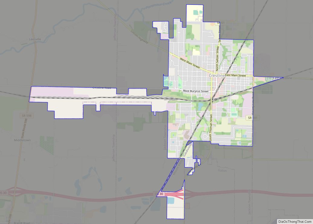
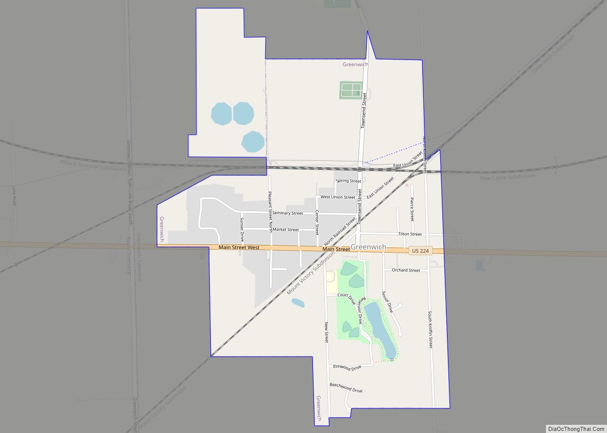
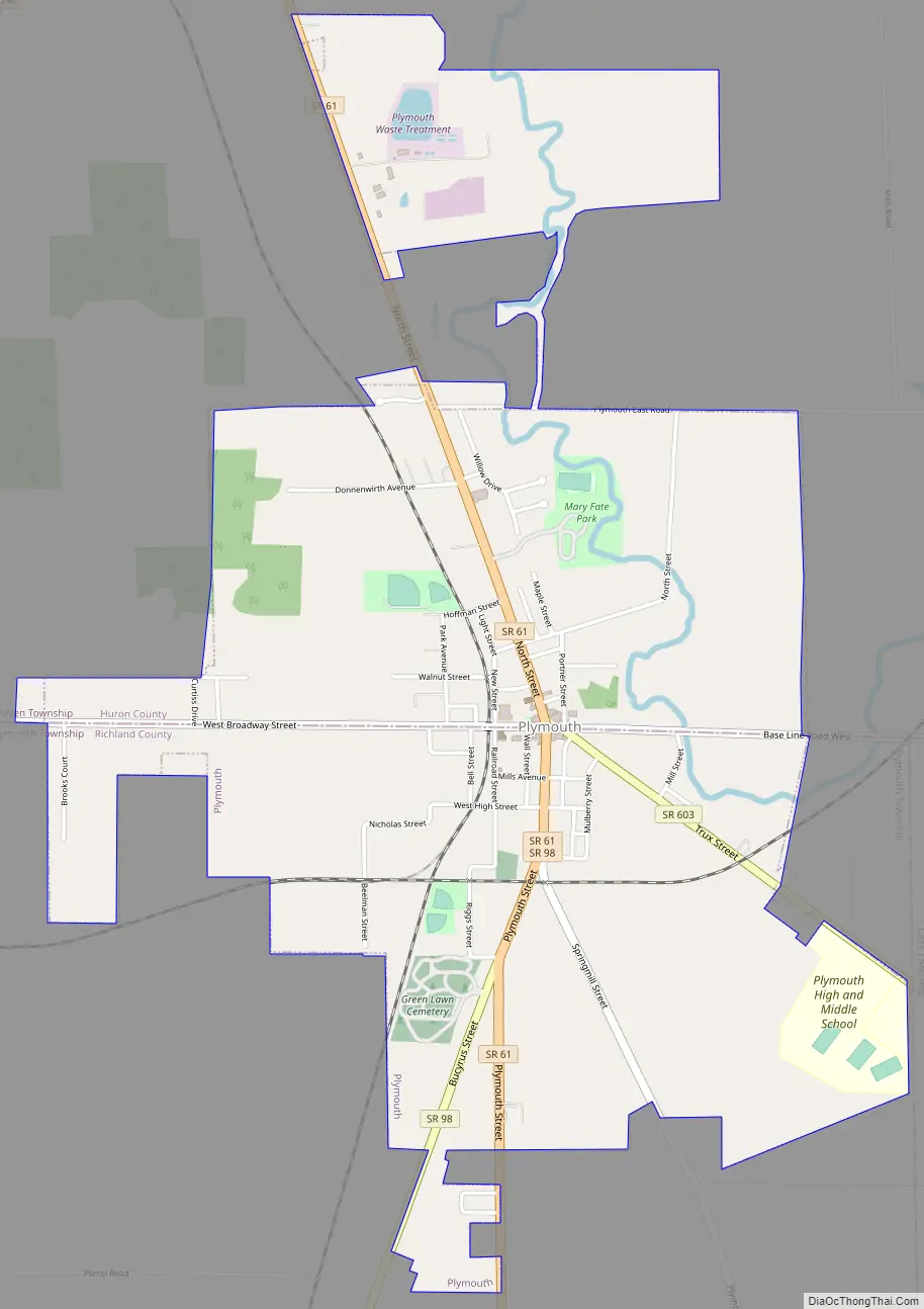
Plymouth Road Map
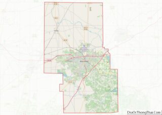
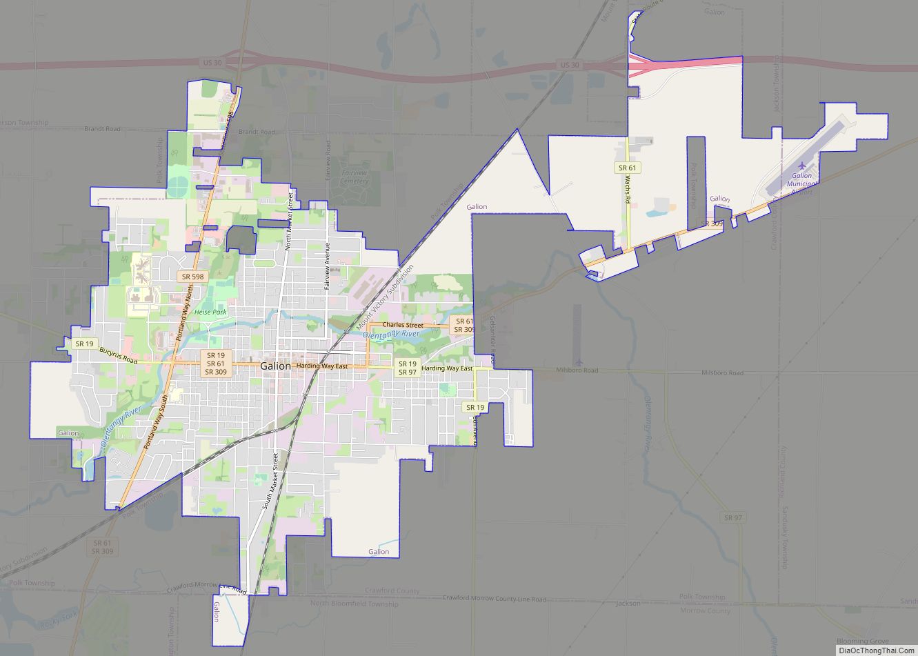
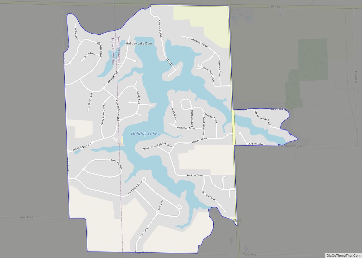
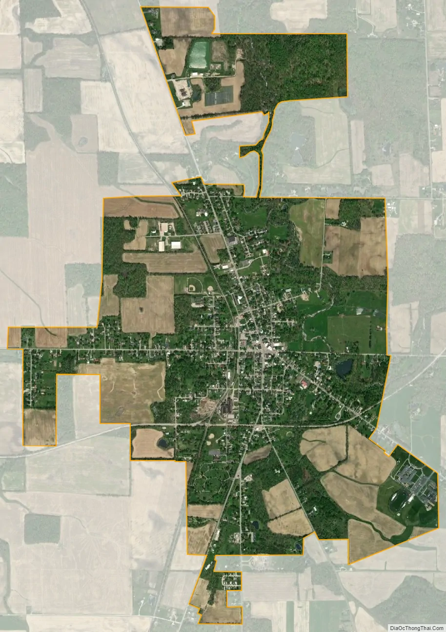
Plymouth city Satellite Map
Geography
Plymouth is located at 40°59′46″N 82°40′0″W / 40.99611°N 82.66667°W / 40.99611; -82.66667 (40.996121, -82.666746).
According to the United States Census Bureau, the village has a total area of 2.50 square miles (6.47 km), of which 2.47 square miles (6.40 km) is land and 0.03 square miles (0.08 km) is water.
The east/west main street in downtown Plymouth is known as East Main and West Broadway and in the surrounding unincorporated areas is known as Base Line Road, as it divides Richland and Huron counties, which puts the village in dual political geographies. This presents several difficulties such as taxes, laws and law enforcement. While the village has its own police force, half shares jurisdiction with the Huron County Sheriff’s Department and half with the Richland County Sheriff’s Department.
See also
Map of Ohio State and its subdivision:- Adams
- Allen
- Ashland
- Ashtabula
- Athens
- Auglaize
- Belmont
- Brown
- Butler
- Carroll
- Champaign
- Clark
- Clermont
- Clinton
- Columbiana
- Coshocton
- Crawford
- Cuyahoga
- Darke
- Defiance
- Delaware
- Erie
- Fairfield
- Fayette
- Franklin
- Fulton
- Gallia
- Geauga
- Greene
- Guernsey
- Hamilton
- Hancock
- Hardin
- Harrison
- Henry
- Highland
- Hocking
- Holmes
- Huron
- Jackson
- Jefferson
- Knox
- Lake
- Lake Erie
- Lawrence
- Licking
- Logan
- Lorain
- Lucas
- Madison
- Mahoning
- Marion
- Medina
- Meigs
- Mercer
- Miami
- Monroe
- Montgomery
- Morgan
- Morrow
- Muskingum
- Noble
- Ottawa
- Paulding
- Perry
- Pickaway
- Pike
- Portage
- Preble
- Putnam
- Richland
- Ross
- Sandusky
- Scioto
- Seneca
- Shelby
- Stark
- Summit
- Trumbull
- Tuscarawas
- Union
- Van Wert
- Vinton
- Warren
- Washington
- Wayne
- Williams
- Wood
- Wyandot
- Alabama
- Alaska
- Arizona
- Arkansas
- California
- Colorado
- Connecticut
- Delaware
- District of Columbia
- Florida
- Georgia
- Hawaii
- Idaho
- Illinois
- Indiana
- Iowa
- Kansas
- Kentucky
- Louisiana
- Maine
- Maryland
- Massachusetts
- Michigan
- Minnesota
- Mississippi
- Missouri
- Montana
- Nebraska
- Nevada
- New Hampshire
- New Jersey
- New Mexico
- New York
- North Carolina
- North Dakota
- Ohio
- Oklahoma
- Oregon
- Pennsylvania
- Rhode Island
- South Carolina
- South Dakota
- Tennessee
- Texas
- Utah
- Vermont
- Virginia
- Washington
- West Virginia
- Wisconsin
- Wyoming