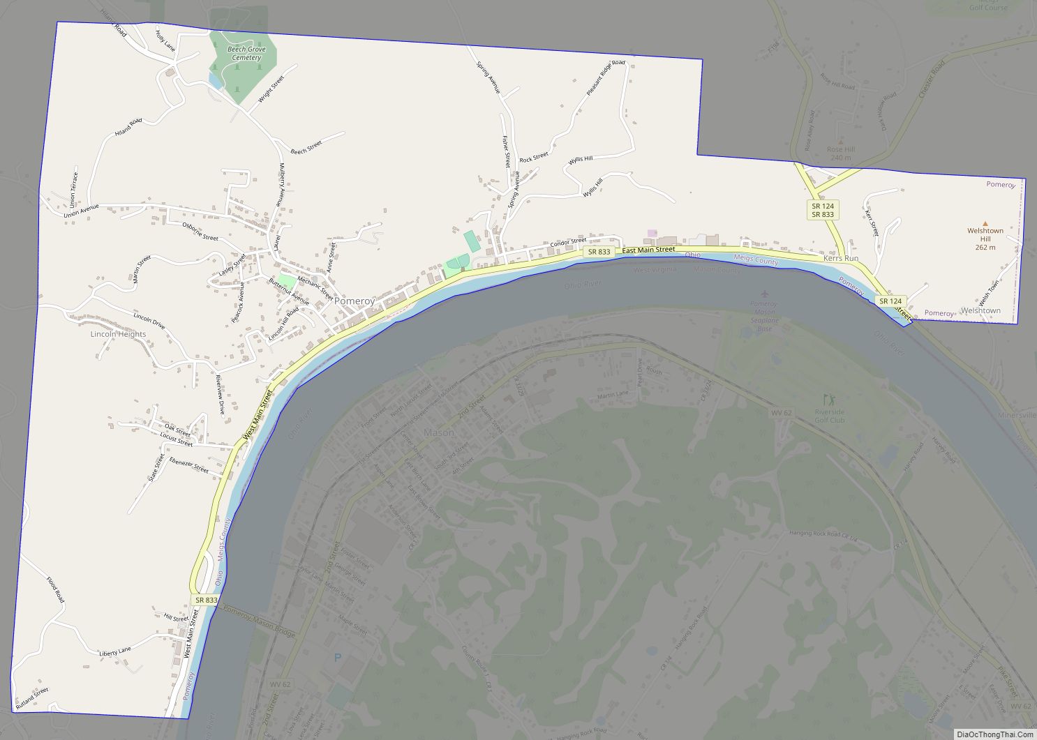
Pomeroy (/ˈpʌmrɔɪ/ PUM-roy) is a village in and the county seat of Meigs County, Ohio, United States, along the Ohio River about 21 miles (34 km) south of Athens. The population was 1,573 at the 2020 census.
| Name: | Pomeroy village |
|---|---|
| LSAD Code: | 47 |
| LSAD Description: | village (suffix) |
| State: | Ohio |
| County: | Meigs County |
| Elevation: | 571 ft (174 m) |
| Total Area: | 3.35 sq mi (8.66 km²) |
| Land Area: | 3.28 sq mi (8.50 km²) |
| Water Area: | 0.06 sq mi (0.16 km²) |
| Total Population: | 1,573 |
| Population Density: | 479.28/sq mi (185.05/km²) |
| ZIP code: | 45769 |
| Area code: | 740 |
| FIPS code: | 3964024 |
| GNISfeature ID: | 1061563 |
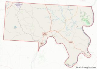
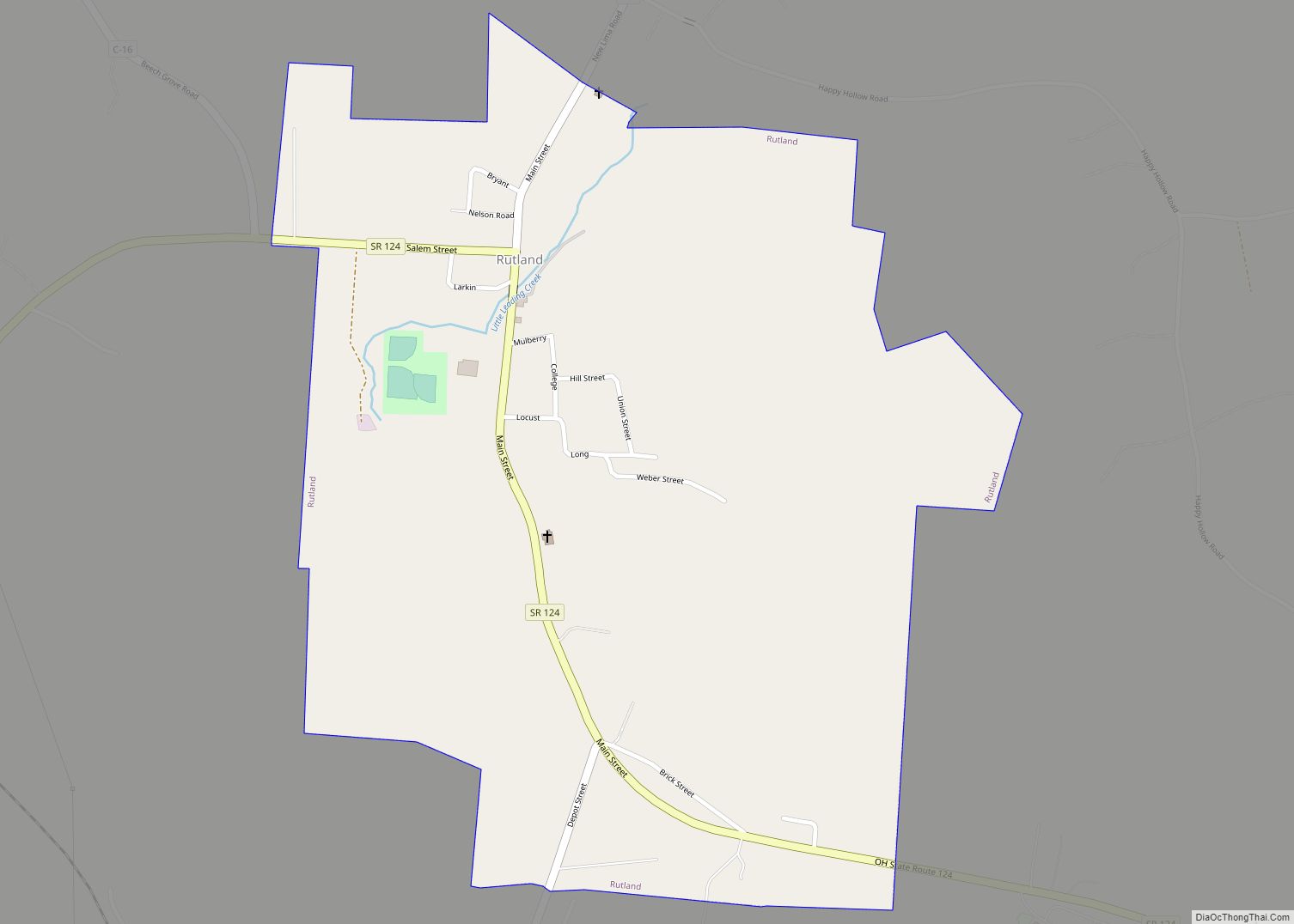
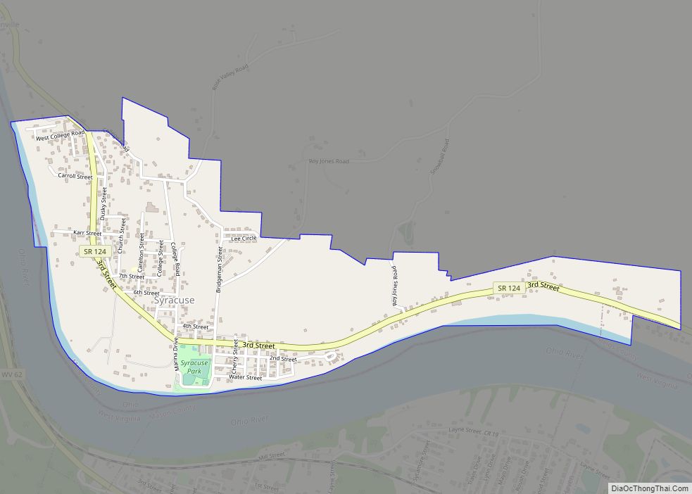
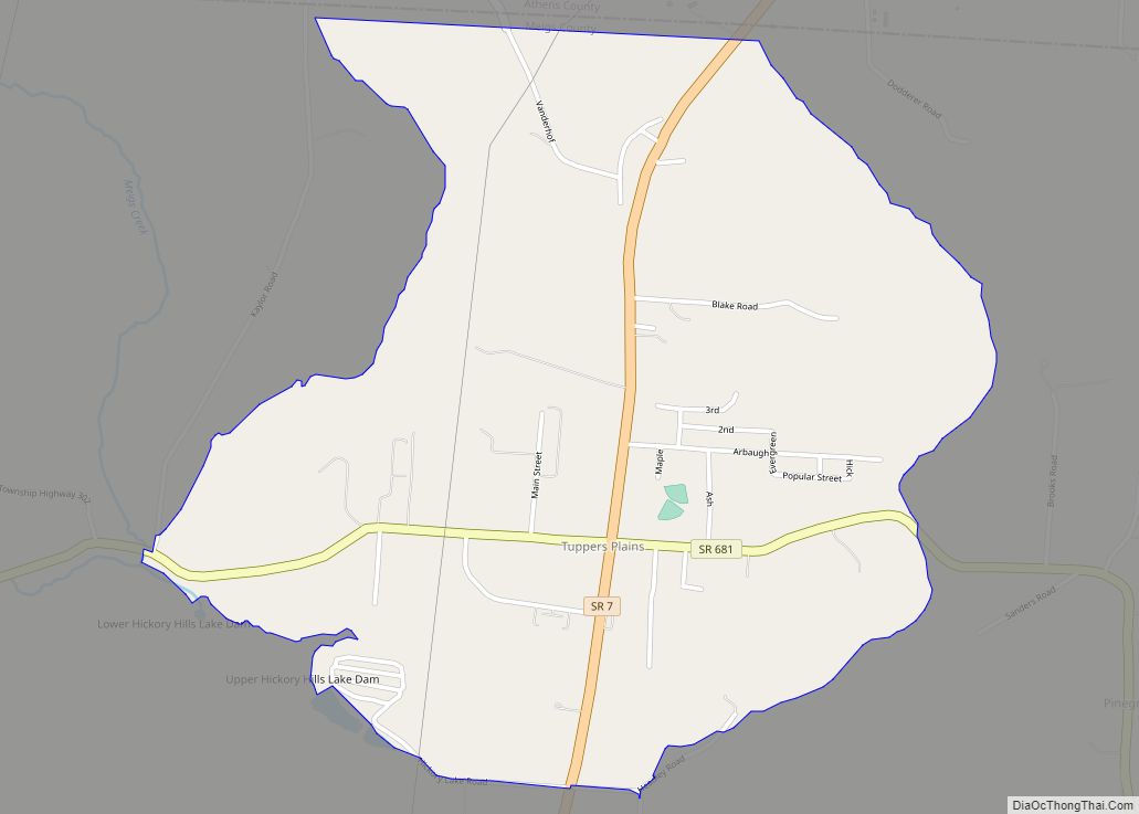
Online Interactive Map
Click on ![]() to view map in "full screen" mode.
to view map in "full screen" mode.
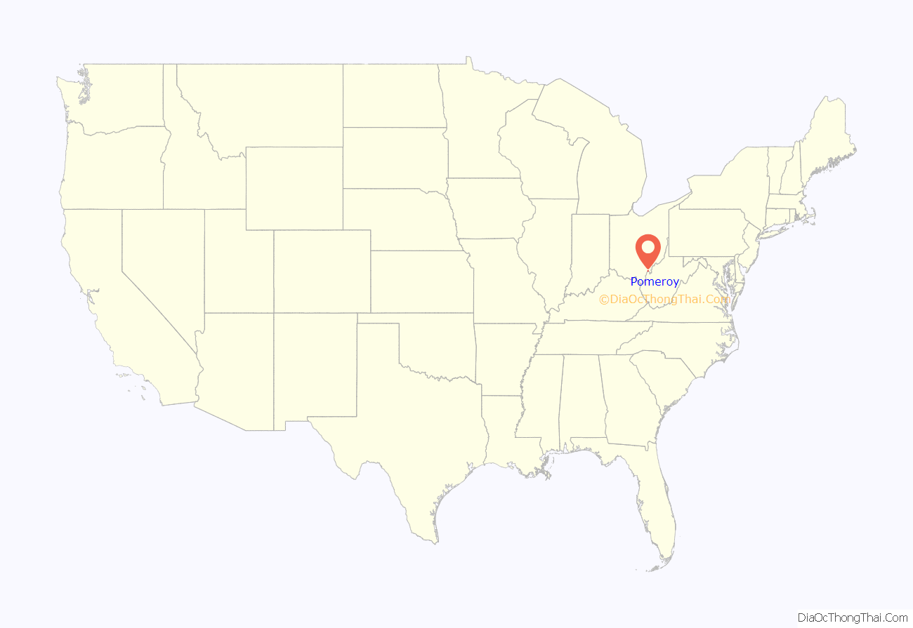
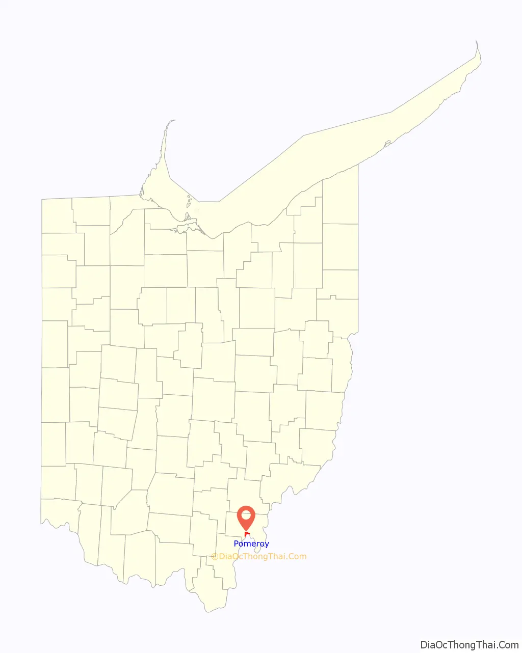
Pomeroy location map. Where is Pomeroy village?
History
Pomeroy was founded in 1804 and named for landowner Samuel Pomeroy. The village was incorporated in 1840, and designated county seat in 1841.
Settlement and economic development
The earliest history of Pomeroy begins with the arrival of Samuel Ervin at what is now Kerr’s Run in 1806. In 1821 Josiah Dill opened a tavern there and Nial Nye in 1826 operated a tavern, mill and wharf-boat.
In 1830 Samuel Wyllys Pomeroy of Massachusetts, arriving by boat from Cincinnati enjoyed the view from the Nye tavern, and the wild turkey, turtle and Ohio River fish. After viewing his coal land purchased in Massachusetts in 1804, and the fertile fields of the county he deemed it “a good healthy place to live, and with proper management a bright industrial future.”
He established the Pomeroy Son’s Company and sent his son-in-law Valentine B. Horton, to develop the coal and other industrial possibilities.
Horton developed the mines, persuaded eastern settlers and those from Germany, Ireland and Wales to come to Pomeroy to mine the coal; instituted modern methods in mining; developed the transportation of coal by river, building the first coal barges and in 1836 the first boat (Condor) which was fired by coal instead of wood.
He brought about the incorporation of the village in 1841, and through political maneuvering the removal of the county court from Chester to Pomeroy in the same year.
When salt was discovered in deep wells near the river (1848) he developed the industry, using the local coal to process the salt. Excelsior Salt Co., among many, opened during that period and continued in business until 1975, when the Environmental Protection Agency forced its closing because of high Sulphur coal smoke in the air and the brine polluting the river.
By 1870 Pomeroy, with a population of 5,000, was a prosperous industrial town. River traffic was heavy. There were steel mills, machine shops, a brewery, organ factory, buggy & wagon factory, coper shops, tanneries, cobbler shops, jewelry stores, bake shops, meat markets, blacksmith shops, furniture factories, boat builders, millinery shops, monument works, flour mills, livery stables, clothing and grocery stores. A newspaper was published in 1843, the telegraph line came in 1848 and the railroad in 1886: the horse powered ferry to Mason, WV in 1854 and the steam ferry in 1847. There were doctors, dentists and lawyers.
The early 20th century was the time of greatest prosperity for Meigs County and likewise Pomeroy. Production of salt, chemicals and coal and their derivatives was at its peak. WWI brought a demand for coal. The Ebersbach family assumed coal production where Horton and others left off; also, machinery. After the strikes of the 1920s and the depression of the 1930s both coal and salt business began to wane, labor problems were great, and salt became more accessible elsewhere.
During WWII and after the building of the bridge across the Ohio River and the TNT plant in West Virginia, there was a sudden and temporary boom in prosperity, but when the war was over, coal and salt production was not resumed. Any condition which affected the region affected the county seat. Population began to decrease and has continued to do so until recent years. Railroads have ceased operation into the Bend and this adversely affected business.
Schools
During the late 1880s, a school was built in the oldest part of town in Kerr’s Run. The school was known as the “Kerr’s Run Colored School”. The school educate children from the first to eighth grade, including James Edwin Campbell and James McHenry Jones, first and third presidents of what is now West Virginia State University. The school remained in operation from the late 1880s through the early 1900s.
After Campbell and Jones had completed 8th grade, they went on to complete their secondary education at Pomeroy Academy. They became the first 1882 (Jones) and in 1884 the second (Campbell) people of color to graduate from Pomeroy Academy, while segregation still plagued the United States.
In 1876, The Pomeroy Academy stood next to the Episcopal Church, and still later became the Pomeroy High School. Pomeroy Academies first graduating class consisted of six students. In 1914 a new building was erected and served as the Senior High Building through 1967. In 1929 a Junior High School was built nearby.
In 1920 there were four grade schools, Viz, Sugar Run, Central, Coalport and Kerr’s Run, and all were integrated school. Later Rutland, Middleport, and Pomeroy were consolidated as Meigs High School at Rock Springs.
Churches
Churches were established as people came to the county, and in Pomeroy included German and Welsh; also, two churches for black people, one at Kerr’s Run, the other on Lincoln Hill. The original buildings have all been removed and new edifices built, and several new denominations have been added.
Natural disasters
Fires and floods were, and still are, a frequent enemy in Pomeroy. All the old wooden buildings were destroyed by fires of 1851, 1856, 1884, and 1927. Another in 1976 took the entire Red Anchor store, which had been in existence since the late 1800s. The floods of 1884, 1913, and 1937 were most disastrous.
Other attributes
The Pomeroy, Ohio McDonald’s location was one of the last two McDonald’s locations in the world that still served pizza. This location served their final pizza on August 31, 2017. McDonald’s phased out pizzas at its stores in the late 1990s.
The courthouse has the distinction of being mentioned in “Ripley’s Believe or Not!” because there is a ground floor entrance to each of its three stories. It also served as a temporary jail for more than 200 of Morgan’s Raid after their capture in the Battle of Buffington Island.
Pomeroy is mentioned in “Ripley’s” a second time for not having any cross streets.
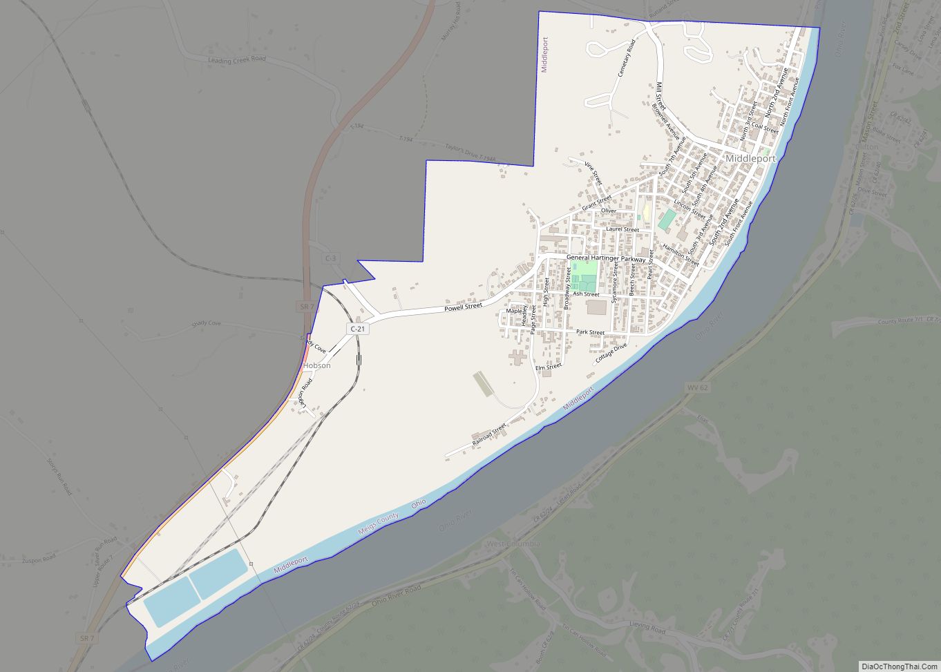
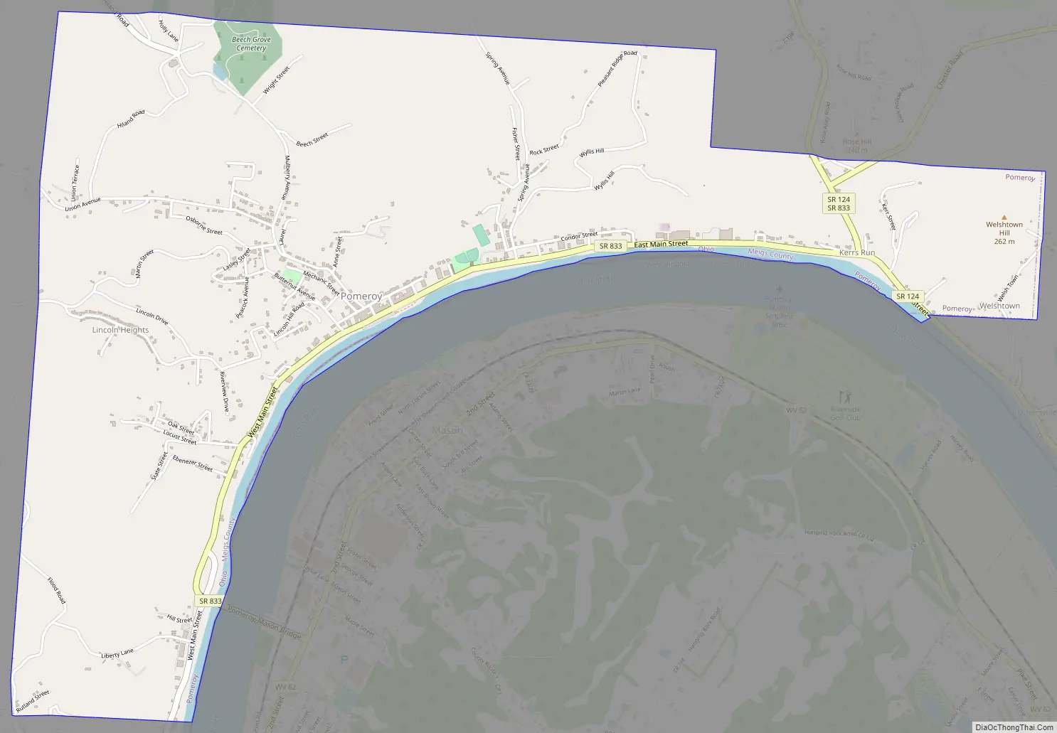
Pomeroy Road Map
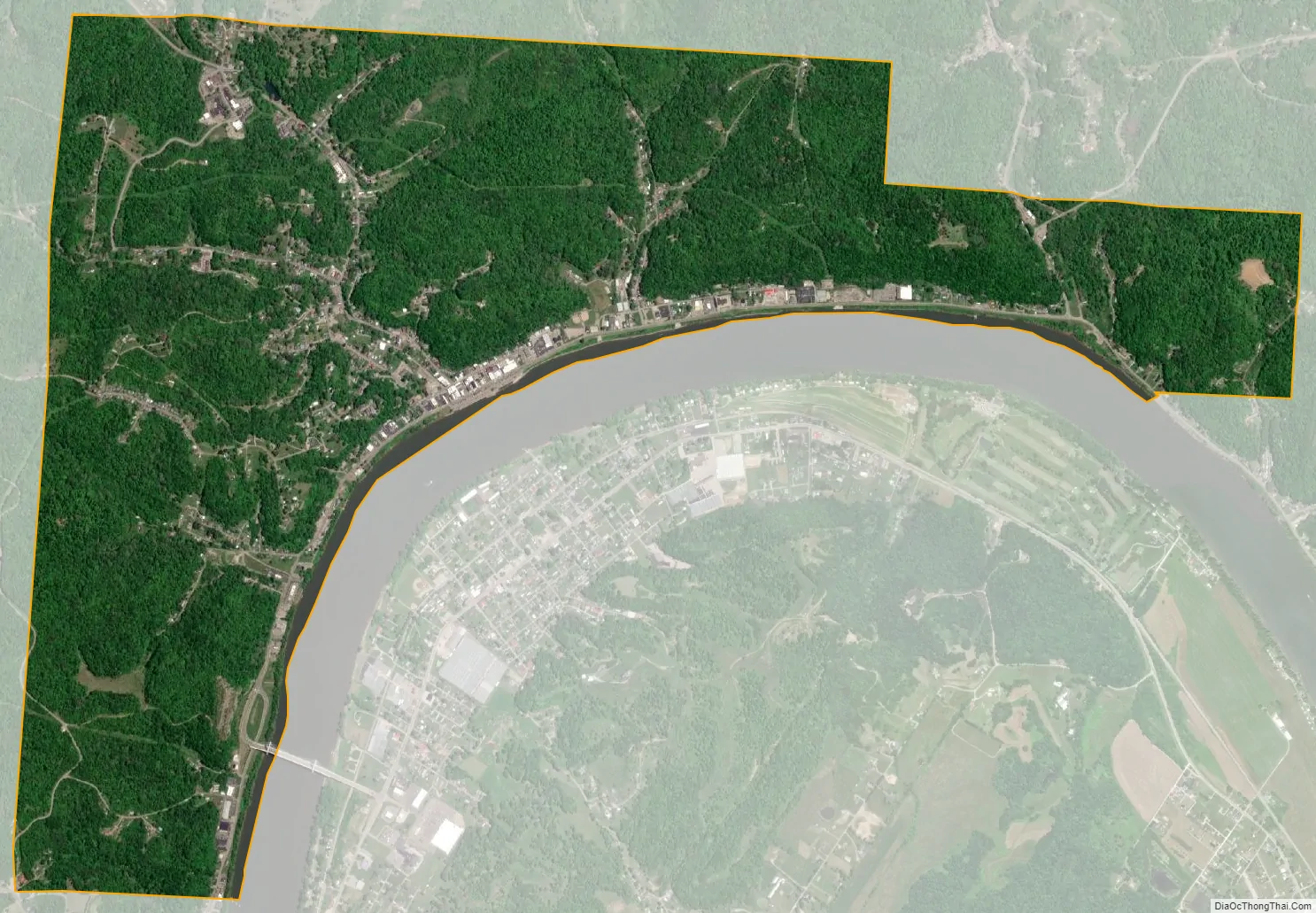
Pomeroy city Satellite Map
Geography
Pomeroy is located at 39°1′41″N 82°1′55″W / 39.02806°N 82.03194°W / 39.02806; -82.03194 (39.028192, −82.031866).
According to the United States Census Bureau, the village has a total area of 3.31 square miles (8.57 km), of which 3.25 square miles (8.42 km) is land and 0.06 square miles (0.16 km) is water.
See also
Map of Ohio State and its subdivision:- Adams
- Allen
- Ashland
- Ashtabula
- Athens
- Auglaize
- Belmont
- Brown
- Butler
- Carroll
- Champaign
- Clark
- Clermont
- Clinton
- Columbiana
- Coshocton
- Crawford
- Cuyahoga
- Darke
- Defiance
- Delaware
- Erie
- Fairfield
- Fayette
- Franklin
- Fulton
- Gallia
- Geauga
- Greene
- Guernsey
- Hamilton
- Hancock
- Hardin
- Harrison
- Henry
- Highland
- Hocking
- Holmes
- Huron
- Jackson
- Jefferson
- Knox
- Lake
- Lake Erie
- Lawrence
- Licking
- Logan
- Lorain
- Lucas
- Madison
- Mahoning
- Marion
- Medina
- Meigs
- Mercer
- Miami
- Monroe
- Montgomery
- Morgan
- Morrow
- Muskingum
- Noble
- Ottawa
- Paulding
- Perry
- Pickaway
- Pike
- Portage
- Preble
- Putnam
- Richland
- Ross
- Sandusky
- Scioto
- Seneca
- Shelby
- Stark
- Summit
- Trumbull
- Tuscarawas
- Union
- Van Wert
- Vinton
- Warren
- Washington
- Wayne
- Williams
- Wood
- Wyandot
- Alabama
- Alaska
- Arizona
- Arkansas
- California
- Colorado
- Connecticut
- Delaware
- District of Columbia
- Florida
- Georgia
- Hawaii
- Idaho
- Illinois
- Indiana
- Iowa
- Kansas
- Kentucky
- Louisiana
- Maine
- Maryland
- Massachusetts
- Michigan
- Minnesota
- Mississippi
- Missouri
- Montana
- Nebraska
- Nevada
- New Hampshire
- New Jersey
- New Mexico
- New York
- North Carolina
- North Dakota
- Ohio
- Oklahoma
- Oregon
- Pennsylvania
- Rhode Island
- South Carolina
- South Dakota
- Tennessee
- Texas
- Utah
- Vermont
- Virginia
- Washington
- West Virginia
- Wisconsin
- Wyoming