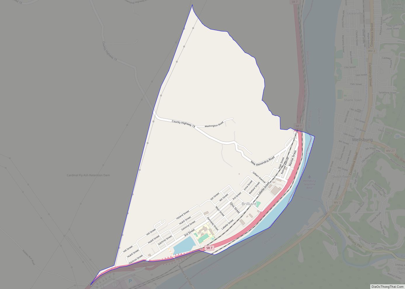
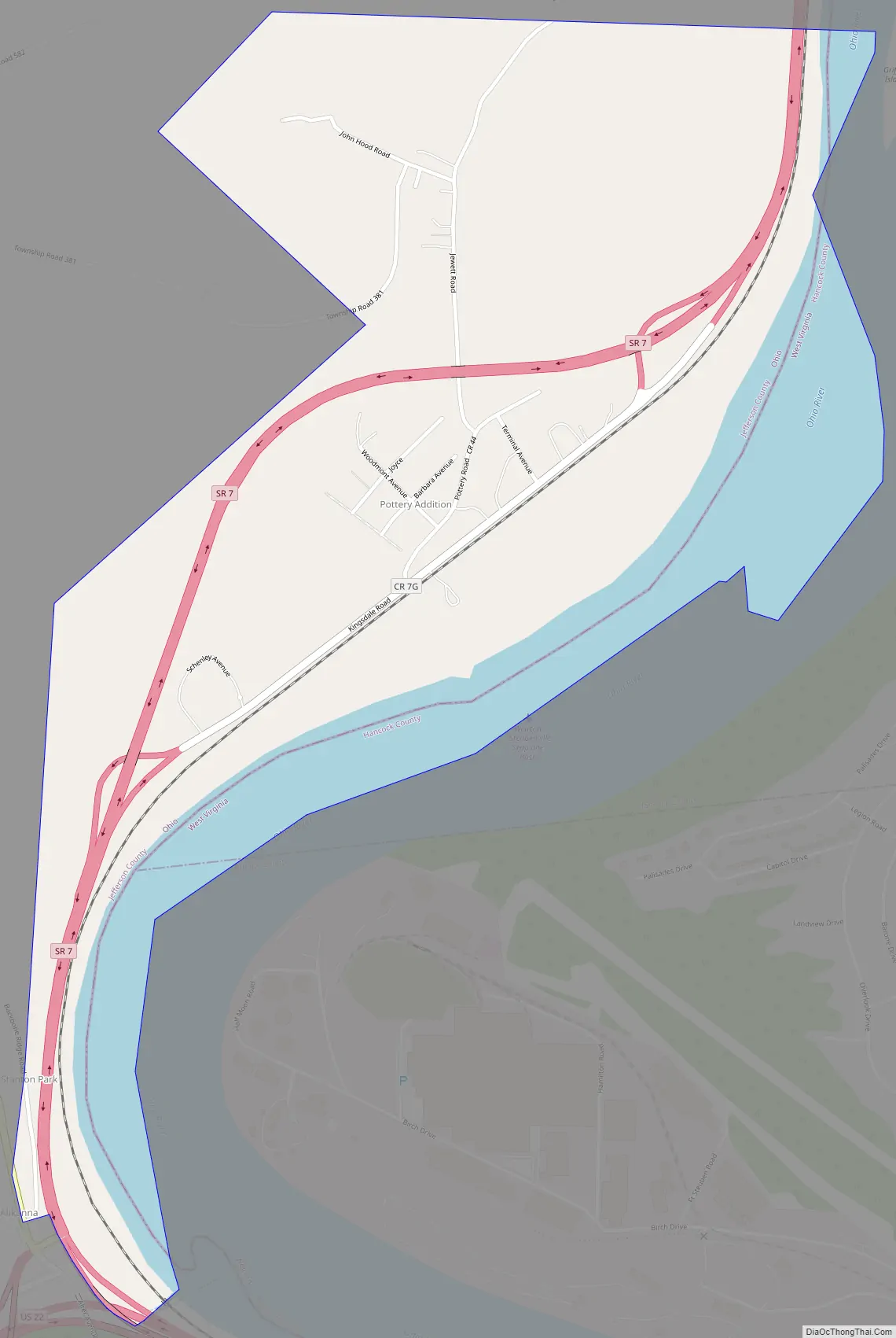
Pottery Addition is a census-designated place (CDP) in Jefferson County, Ohio, United States. Its population was 293 as of the 2010 census. The community is located along the Ohio River and is served by Ohio State Route 7.
| Name: | Pottery Addition CDP |
|---|---|
| LSAD Code: | 57 |
| LSAD Description: | CDP (suffix) |
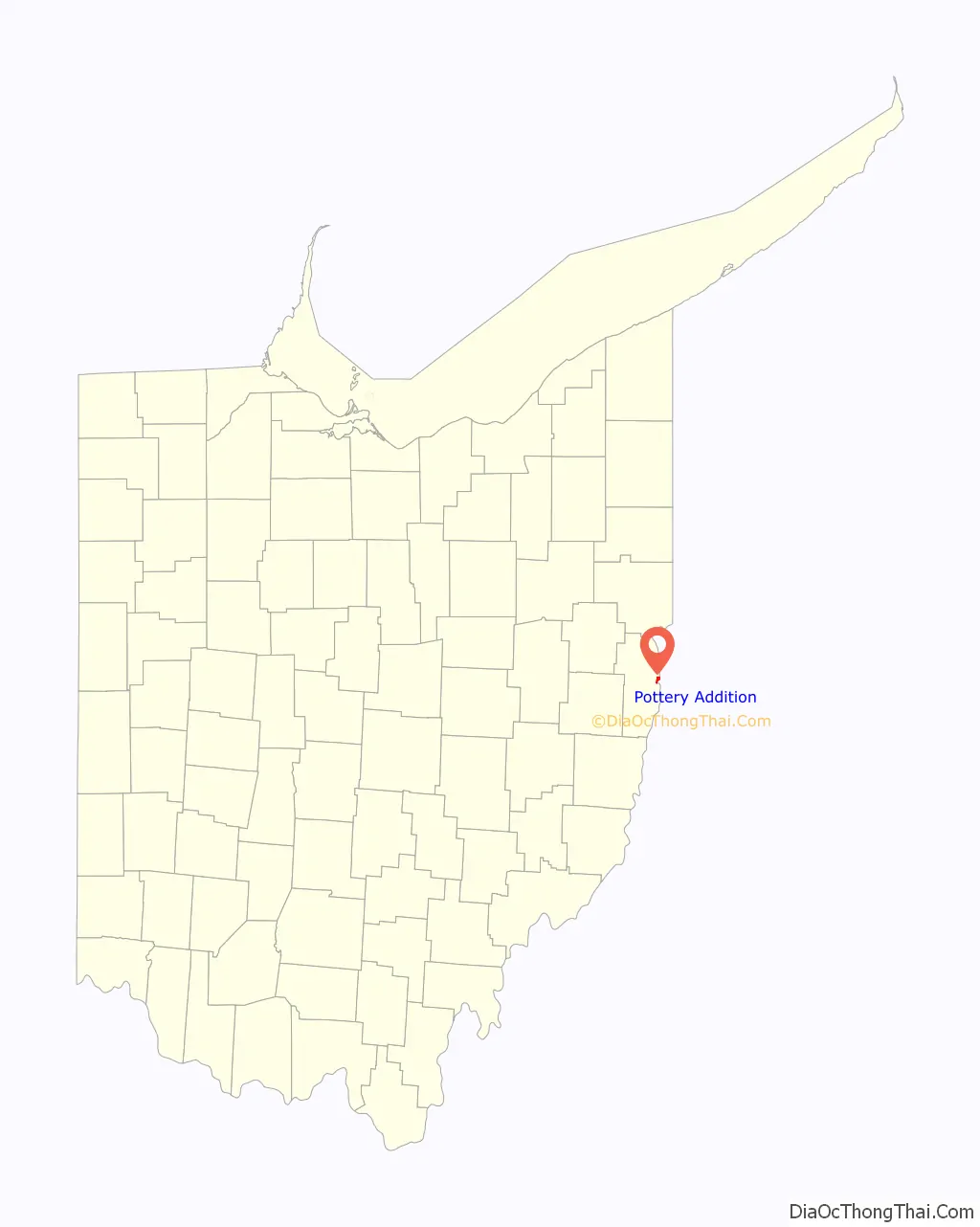
| State: | Ohio |
| County: | Jefferson County |
| Elevation: | 686 ft (209 m) |
| Total Area: | 1.09 sq mi (2.83 km²) |
| Land Area: | 0.85 sq mi (2.19 km²) |
| Water Area: | 0.25 sq mi (0.64 km²) |
| Total Population: | 258 |
| Population Density: | 304.96/sq mi (117.70/km²) |
| Area code: | 740 & 220 |
| FIPS code: | 3964472 |
| GNISfeature ID: | 1049104 |
Online Interactive Map
Click on ![]() to view map in "full screen" mode.
to view map in "full screen" mode.
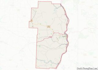
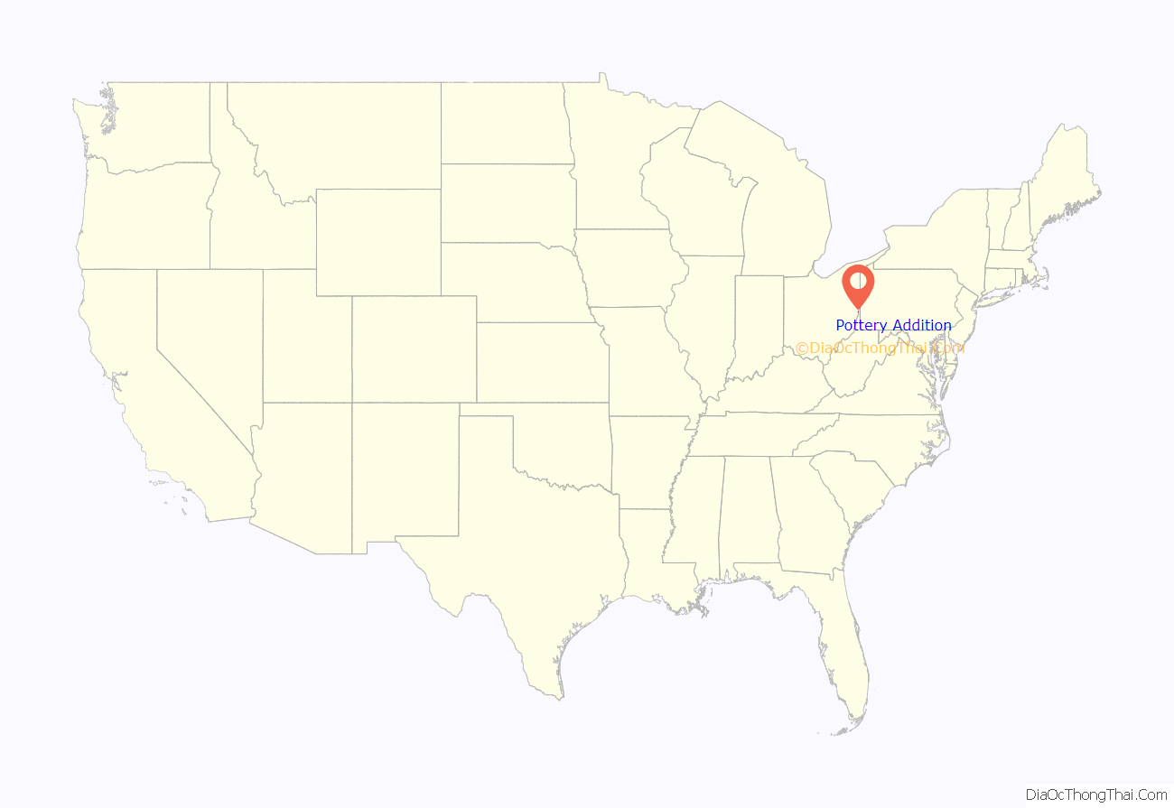
Pottery Addition location map. Where is Pottery Addition CDP?
Pottery Addition Road Map
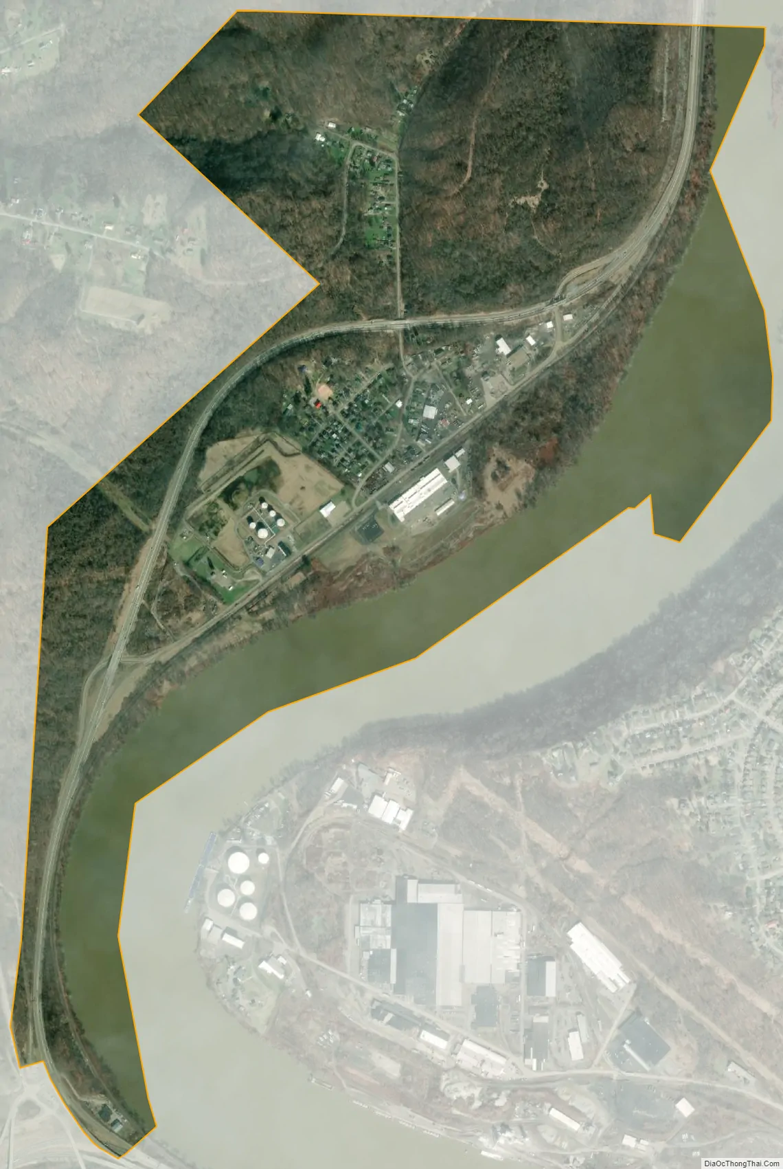
Pottery Addition city Satellite Map
Geography
Pottery Addition is in eastern Jefferson County, in the southeast corner of Island Creek Township. It is bordered to the east by the Ohio River, which serves as the border between Jefferson County, Ohio, and Hancock County, West Virginia. Weirton, West Virginia, is directly across the river. The southern tip of Pottery Addition touches the border of Steubenville, the Jefferson county seat. State Route 7, a four-lane freeway which runs through the community, leads north (upriver) 5 miles (8 km) to Toronto and south 4 miles (6 km) to the center of Steubenville.
According to the U.S. Census Bureau, the CDP has an area of 1.093 square miles (2.83 km); 0.908 square miles (2.35 km) of its area is land, and 0.185 square miles (0.48 km) is water.
See also
Map of Ohio State and its subdivision:- Adams
- Allen
- Ashland
- Ashtabula
- Athens
- Auglaize
- Belmont
- Brown
- Butler
- Carroll
- Champaign
- Clark
- Clermont
- Clinton
- Columbiana
- Coshocton
- Crawford
- Cuyahoga
- Darke
- Defiance
- Delaware
- Erie
- Fairfield
- Fayette
- Franklin
- Fulton
- Gallia
- Geauga
- Greene
- Guernsey
- Hamilton
- Hancock
- Hardin
- Harrison
- Henry
- Highland
- Hocking
- Holmes
- Huron
- Jackson
- Jefferson
- Knox
- Lake
- Lake Erie
- Lawrence
- Licking
- Logan
- Lorain
- Lucas
- Madison
- Mahoning
- Marion
- Medina
- Meigs
- Mercer
- Miami
- Monroe
- Montgomery
- Morgan
- Morrow
- Muskingum
- Noble
- Ottawa
- Paulding
- Perry
- Pickaway
- Pike
- Portage
- Preble
- Putnam
- Richland
- Ross
- Sandusky
- Scioto
- Seneca
- Shelby
- Stark
- Summit
- Trumbull
- Tuscarawas
- Union
- Van Wert
- Vinton
- Warren
- Washington
- Wayne
- Williams
- Wood
- Wyandot
- Alabama
- Alaska
- Arizona
- Arkansas
- California
- Colorado
- Connecticut
- Delaware
- District of Columbia
- Florida
- Georgia
- Hawaii
- Idaho
- Illinois
- Indiana
- Iowa
- Kansas
- Kentucky
- Louisiana
- Maine
- Maryland
- Massachusetts
- Michigan
- Minnesota
- Mississippi
- Missouri
- Montana
- Nebraska
- Nevada
- New Hampshire
- New Jersey
- New Mexico
- New York
- North Carolina
- North Dakota
- Ohio
- Oklahoma
- Oregon
- Pennsylvania
- Rhode Island
- South Carolina
- South Dakota
- Tennessee
- Texas
- Utah
- Vermont
- Virginia
- Washington
- West Virginia
- Wisconsin
- Wyoming