Reading (pronounced /ˈrɛdɪŋ/ RED-ing) is a city in Hamilton County, Ohio, United States. The population was 10,600 at the 2020 census. It is an inner suburb of Cincinnati and is included as part of the Cincinnati metropolitan area.
| Name: | Reading city |
|---|---|
| LSAD Code: | 25 |
| LSAD Description: | city (suffix) |
| State: | Ohio |
| County: | Hamilton County |
| Incorporated: | March 24, 1851 |
| Elevation: | 561 ft (171 m) |
| Total Area: | 2.89 sq mi (7.48 km²) |
| Land Area: | 2.89 sq mi (7.48 km²) |
| Water Area: | 0.00 sq mi (0.00 km²) |
| Total Population: | 10,600 |
| Population Density: | 3,669.09/sq mi (1,416.64/km²) |
| ZIP code: | 45215, 45236, 45237 |
| Area code: | 513 |
| FIPS code: | 3965732 |
| GNISfeature ID: | 1056486 |
| Website: | www.readingohio.org |
Online Interactive Map
Click on ![]() to view map in "full screen" mode.
to view map in "full screen" mode.
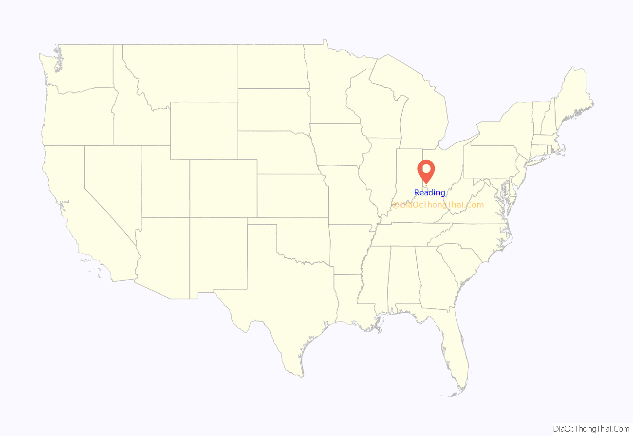
Reading location map. Where is Reading city?
History
In 1794, Abraham Voorhees moved his family from Somerset County, New Jersey, building a large double log cabin along the west bank of the Millcreek in Sycamore Township, in present-day Lockland. In the spring of 1795, Harvey Redinbo, a Pennsylvania Dutchman, visited from Reading, Pennsylvania. Pleased with the land that Voorhees had acquired, Redinbo purchased his own land, in the area of Hunt Road and Columbia Avenue. Around 1798, Voorhees platted a town named Voorhees-Town but did not record it with county officials until January 7, 1804. By then, Redinbo had convinced him to rename the town to Reading, after Redinbo’s hometown.
Between 1830 and 1880, Reading grew rapidly to become the largest village in Hamilton County. It was incorporated as a village on March 24, 1851. The village’s major industry was clothing manufacturing.
The Benson Street Bridge, built in 1901, spans Mill Creek on the city limit with Lockland. It was the second concrete rainbow arch bridge and the first in Ohio.
As of 1912, Reading was a sundown town. African Americans were prohibited from living within the city or remaining there after dark. Most censuses from 1860 through 1960 recorded no African Americans in Reading.
Reading became a city on January 1, 1932. It withdrew from Sycamore Township on May 19, 1943, forming a paper township named “Reading Township”.
Reading Road Map
Reading city Satellite Map
Geography
Reading is located at 39°13′22″N 84°26′21″W / 39.22278°N 84.43917°W / 39.22278; -84.43917 (39.222709, -84.439036). According to the United States Census Bureau, the city has a total area of 2.89 square miles (7.49 km), all land.
Reading is bordered by Cincinnati’s Roselawn neighborhood to the south, Amberley Village and Sycamore Township to the southeast, Blue Ash to the east, Evendale to the north, Lockland to the west, and Arlington Heights to the southwest. Mill Creek divides Reading from Lockland and Arlington Heights.
Reading can be reached by car via Interstate 75, Ohio State Route 126, or U.S. Route 42. The northbound lanes of Mill Creek Expressway run along the city’s west side, with exits onto Galbraith Road and Koehler Avenue. Ronald Reagan Cross County Highway has a complex interchange with Interstate 75 at Reading. Reading lies along Norfolk Southern Railway’s Dayton District and the Indiana and Ohio Railway’s Oasis Subdivision.
See also
Map of Ohio State and its subdivision:- Adams
- Allen
- Ashland
- Ashtabula
- Athens
- Auglaize
- Belmont
- Brown
- Butler
- Carroll
- Champaign
- Clark
- Clermont
- Clinton
- Columbiana
- Coshocton
- Crawford
- Cuyahoga
- Darke
- Defiance
- Delaware
- Erie
- Fairfield
- Fayette
- Franklin
- Fulton
- Gallia
- Geauga
- Greene
- Guernsey
- Hamilton
- Hancock
- Hardin
- Harrison
- Henry
- Highland
- Hocking
- Holmes
- Huron
- Jackson
- Jefferson
- Knox
- Lake
- Lake Erie
- Lawrence
- Licking
- Logan
- Lorain
- Lucas
- Madison
- Mahoning
- Marion
- Medina
- Meigs
- Mercer
- Miami
- Monroe
- Montgomery
- Morgan
- Morrow
- Muskingum
- Noble
- Ottawa
- Paulding
- Perry
- Pickaway
- Pike
- Portage
- Preble
- Putnam
- Richland
- Ross
- Sandusky
- Scioto
- Seneca
- Shelby
- Stark
- Summit
- Trumbull
- Tuscarawas
- Union
- Van Wert
- Vinton
- Warren
- Washington
- Wayne
- Williams
- Wood
- Wyandot
- Alabama
- Alaska
- Arizona
- Arkansas
- California
- Colorado
- Connecticut
- Delaware
- District of Columbia
- Florida
- Georgia
- Hawaii
- Idaho
- Illinois
- Indiana
- Iowa
- Kansas
- Kentucky
- Louisiana
- Maine
- Maryland
- Massachusetts
- Michigan
- Minnesota
- Mississippi
- Missouri
- Montana
- Nebraska
- Nevada
- New Hampshire
- New Jersey
- New Mexico
- New York
- North Carolina
- North Dakota
- Ohio
- Oklahoma
- Oregon
- Pennsylvania
- Rhode Island
- South Carolina
- South Dakota
- Tennessee
- Texas
- Utah
- Vermont
- Virginia
- Washington
- West Virginia
- Wisconsin
- Wyoming
