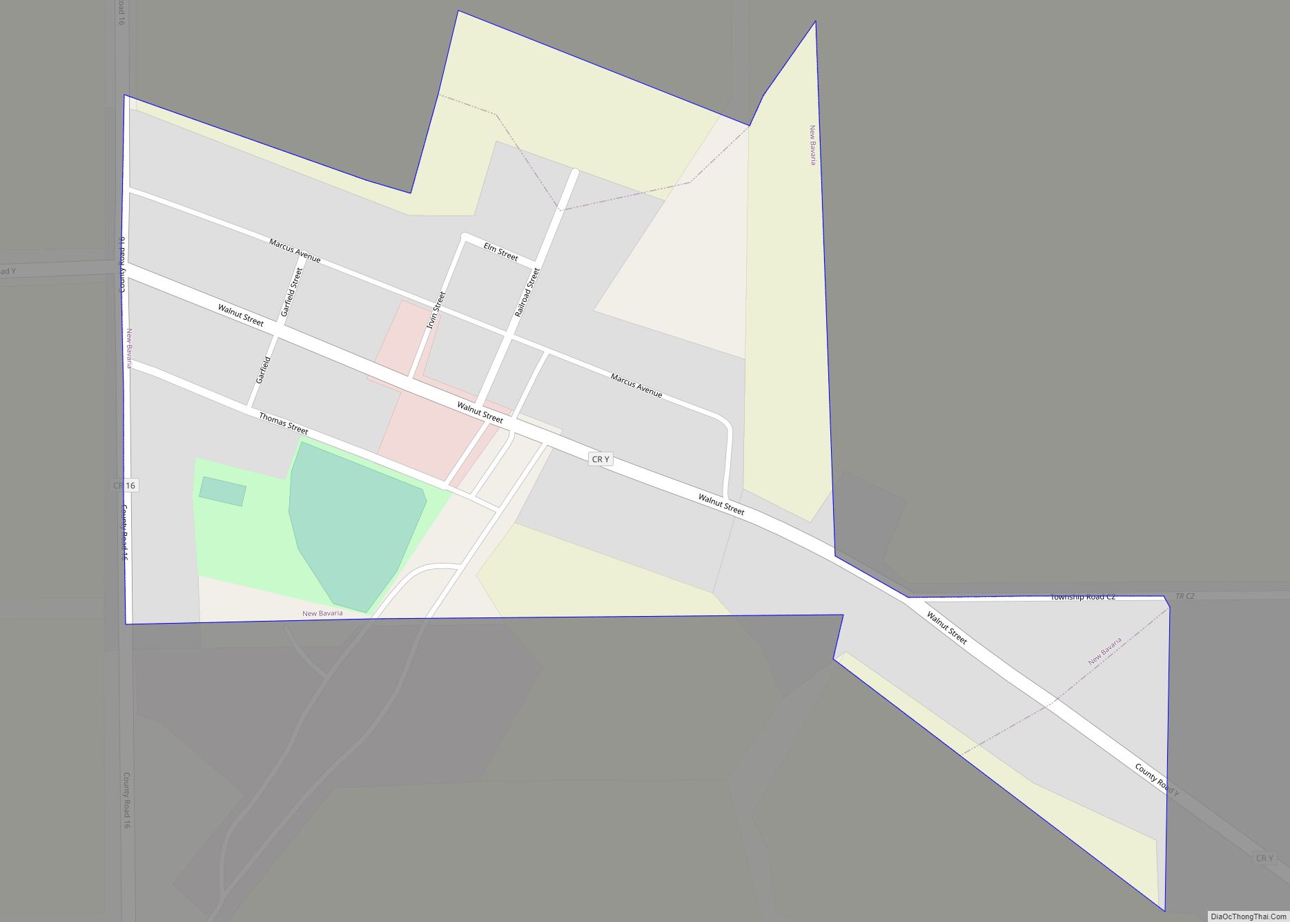
Ridgeville Corners is an unincorporated community and census-designated place (CDP) in southern Ridgeville Township, Henry County, Ohio, United States. It has a post office with the ZIP code 43555. The population was 435 at the 2010 census.
| Name: | Ridgeville Corners CDP |
|---|---|
| LSAD Code: | 57 |
| LSAD Description: | CDP (suffix) |
| State: | Ohio |
| County: | Henry County |
| Elevation: | 735 ft (224 m) |
| Total Area: | 0.91 sq mi (2.37 km²) |
| Land Area: | 0.91 sq mi (2.37 km²) |
| Water Area: | 0.00 sq mi (0.00 km²) |
| Total Population: | 416 |
| Population Density: | 455.14/sq mi (175.65/km²) |
| ZIP code: | 43555 |
| Area code: | 419 |
| FIPS code: | 3967104 |
| GNISfeature ID: | 1061605 |
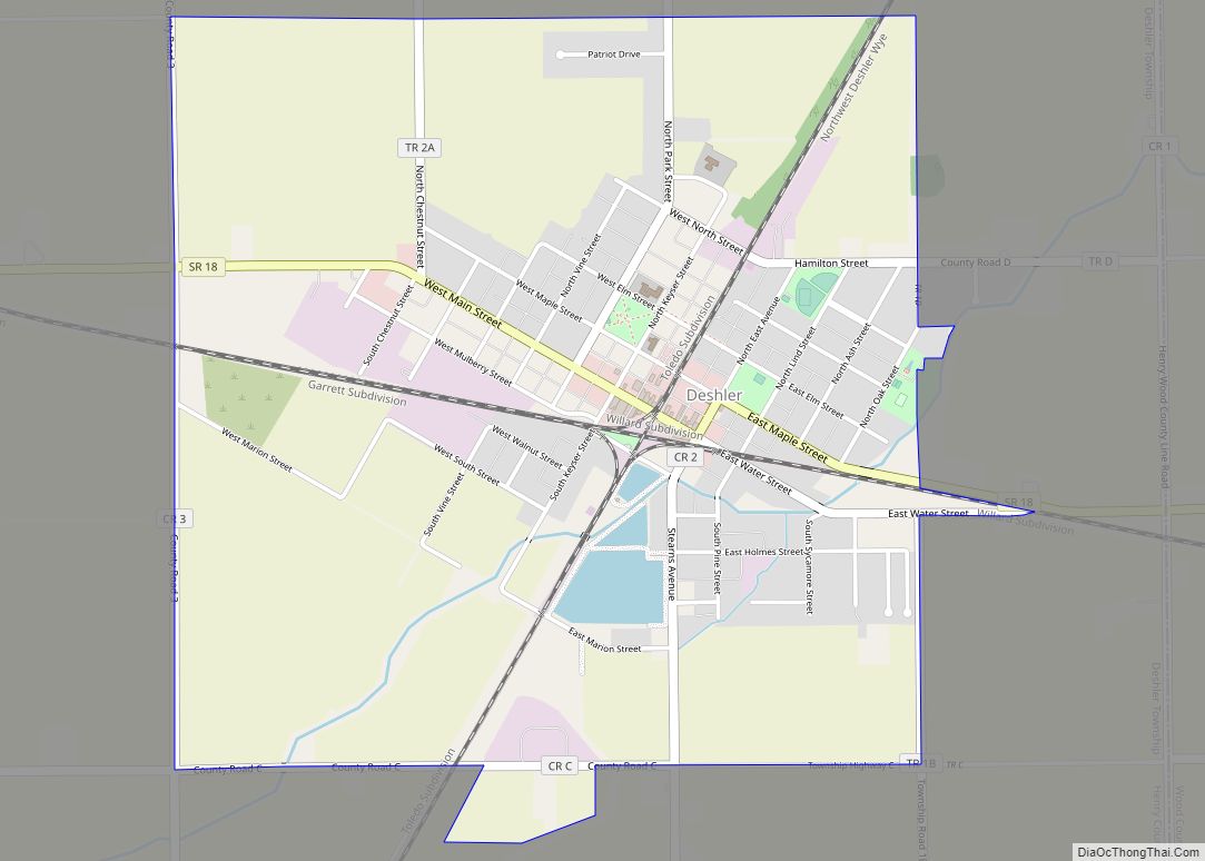
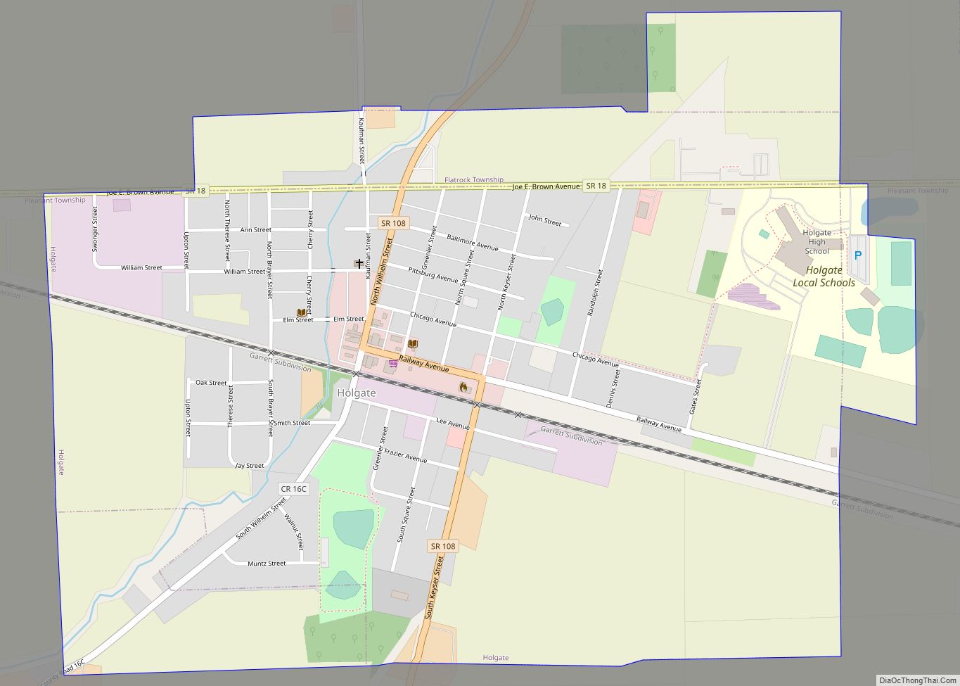
Online Interactive Map
Click on ![]() to view map in "full screen" mode.
to view map in "full screen" mode.
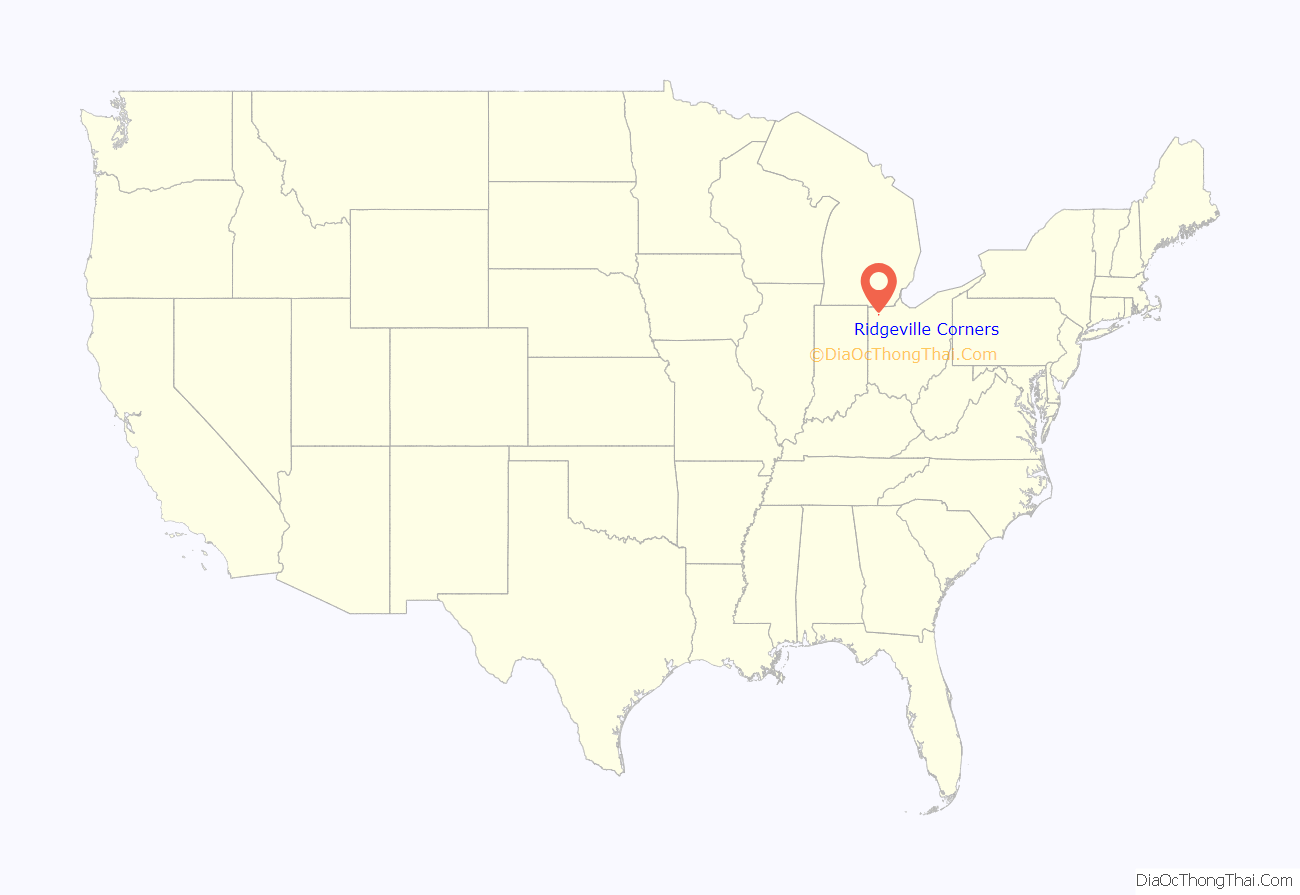
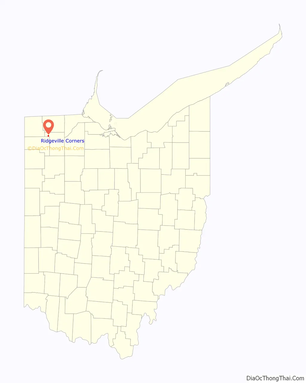
Ridgeville Corners location map. Where is Ridgeville Corners CDP?
History
Ridgeville Corners was laid out at an unknown date as an early trading point of Ridgeville Township. The First Congregational Church in Ridgeville Corners was a stop on the Underground Railroad in the mid-1800s. A post office has been in operation at Ridgeville Corners since 1841.
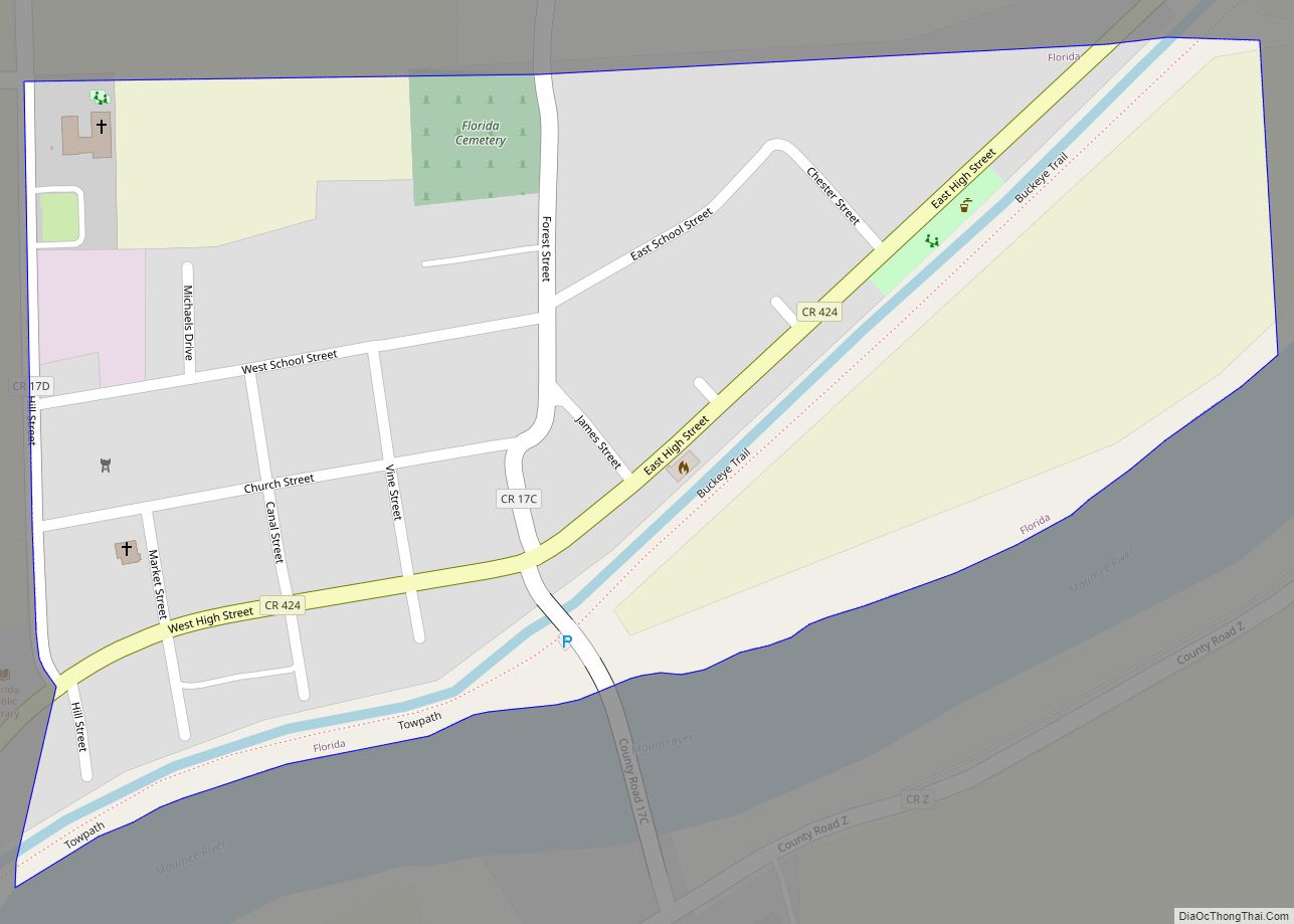
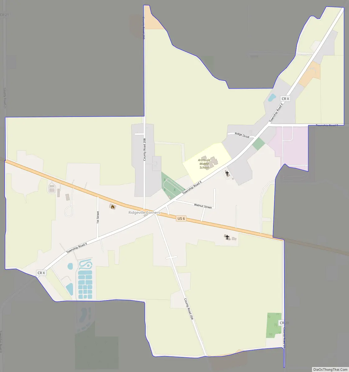
Ridgeville Corners Road Map
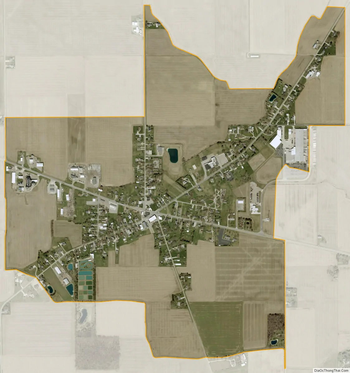
Ridgeville Corners city Satellite Map
Geography
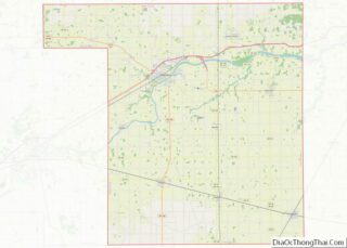
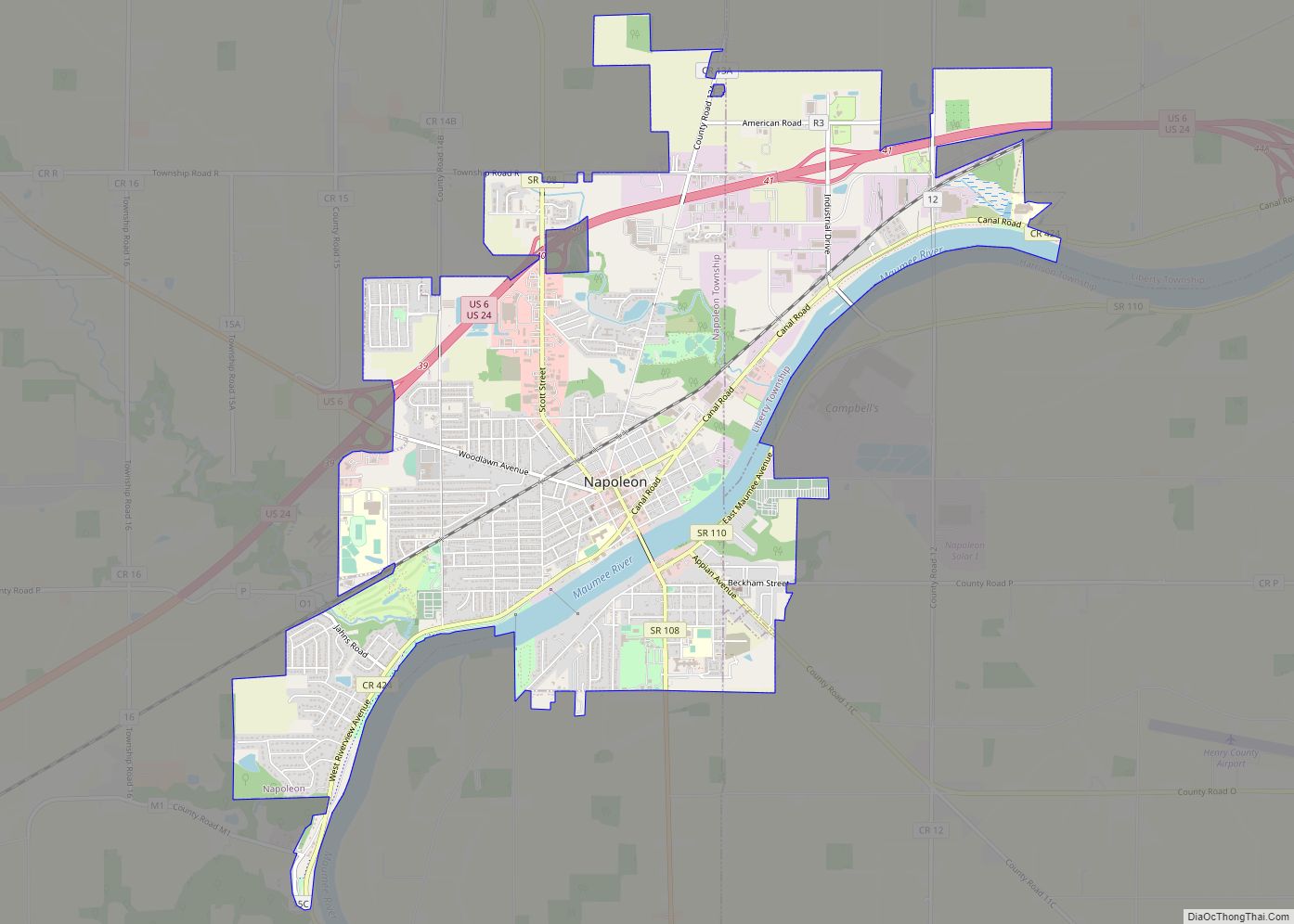
Ridgeville Corners is located along U.S. Route 6, approximately 7 miles (11 km) northwest of Napoleon, the Henry county seat. It is located 16 miles (26 km) southeast of Bryan.
According to the United States Census Bureau, the CDP has an area of 0.93 square miles (2.4 km), all of it recorded as land. As its name suggests, Ridgeville Corners sits on high ground, with the northwest side draining towards the Tiffin River, a south-flowing tributary of the Maumee River, and the southeast side of the community draining directly to the Maumee.
See also
Map of Ohio State and its subdivision:- Adams
- Allen
- Ashland
- Ashtabula
- Athens
- Auglaize
- Belmont
- Brown
- Butler
- Carroll
- Champaign
- Clark
- Clermont
- Clinton
- Columbiana
- Coshocton
- Crawford
- Cuyahoga
- Darke
- Defiance
- Delaware
- Erie
- Fairfield
- Fayette
- Franklin
- Fulton
- Gallia
- Geauga
- Greene
- Guernsey
- Hamilton
- Hancock
- Hardin
- Harrison
- Henry
- Highland
- Hocking
- Holmes
- Huron
- Jackson
- Jefferson
- Knox
- Lake
- Lake Erie
- Lawrence
- Licking
- Logan
- Lorain
- Lucas
- Madison
- Mahoning
- Marion
- Medina
- Meigs
- Mercer
- Miami
- Monroe
- Montgomery
- Morgan
- Morrow
- Muskingum
- Noble
- Ottawa
- Paulding
- Perry
- Pickaway
- Pike
- Portage
- Preble
- Putnam
- Richland
- Ross
- Sandusky
- Scioto
- Seneca
- Shelby
- Stark
- Summit
- Trumbull
- Tuscarawas
- Union
- Van Wert
- Vinton
- Warren
- Washington
- Wayne
- Williams
- Wood
- Wyandot
- Alabama
- Alaska
- Arizona
- Arkansas
- California
- Colorado
- Connecticut
- Delaware
- District of Columbia
- Florida
- Georgia
- Hawaii
- Idaho
- Illinois
- Indiana
- Iowa
- Kansas
- Kentucky
- Louisiana
- Maine
- Maryland
- Massachusetts
- Michigan
- Minnesota
- Mississippi
- Missouri
- Montana
- Nebraska
- Nevada
- New Hampshire
- New Jersey
- New Mexico
- New York
- North Carolina
- North Dakota
- Ohio
- Oklahoma
- Oregon
- Pennsylvania
- Rhode Island
- South Carolina
- South Dakota
- Tennessee
- Texas
- Utah
- Vermont
- Virginia
- Washington
- West Virginia
- Wisconsin
- Wyoming