Rockford is a village in Mercer County, Ohio, United States. The village is on the St. Mary’s River near the center of the western Ohio border 12 miles Northwest of Celina. The population was 1,120 at the 2010 census.
The village was founded in 1815 by French-Indian trader Anthony Madore, and was originally named Shanesville.
| Name: | Rockford village |
|---|---|
| LSAD Code: | 47 |
| LSAD Description: | village (suffix) |
| State: | Ohio |
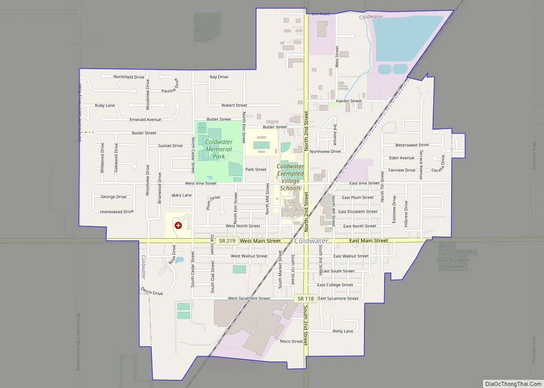
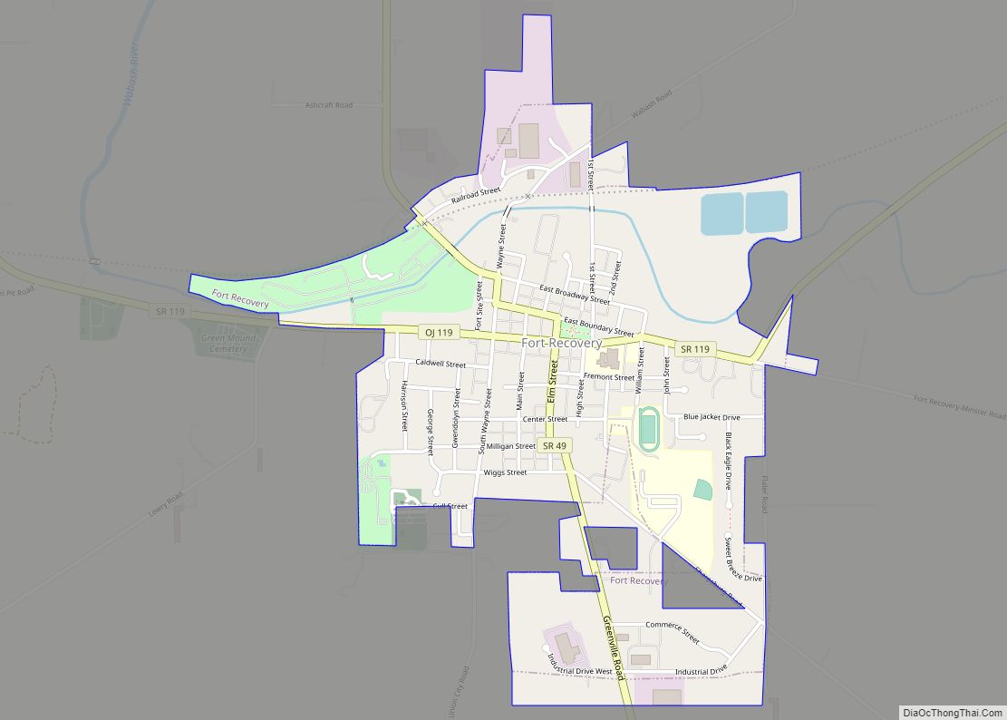
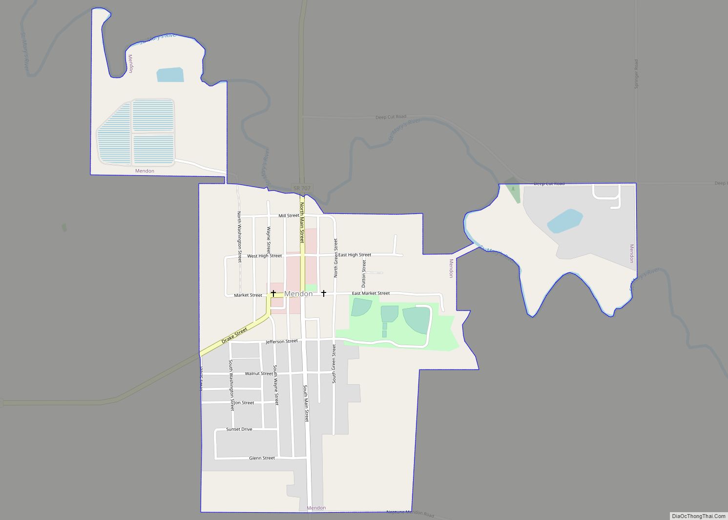
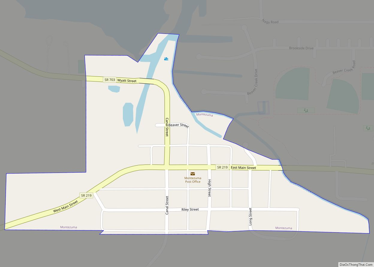
| County: | Mercer County |
| Elevation: | 814 ft (248 m) |
| Total Area: | 0.88 sq mi (2.28 km²) |
| Land Area: | 0.86 sq mi (2.24 km²) |
| Water Area: | 0.02 sq mi (0.04 km²) |
| Total Population: | 1,051 |
| Population Density: | 1,216.44/sq mi (469.43/km²) |
| ZIP code: | 45882 |
| Area code: | 419 |
| FIPS code: | 3967874 |
| GNISfeature ID: | 1061624 |
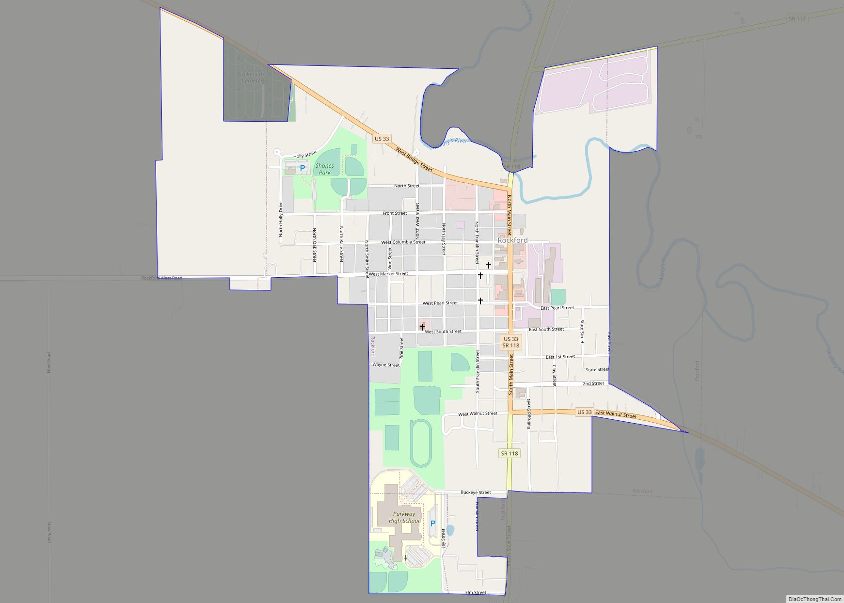
Online Interactive Map
Click on ![]() to view map in "full screen" mode.
to view map in "full screen" mode.
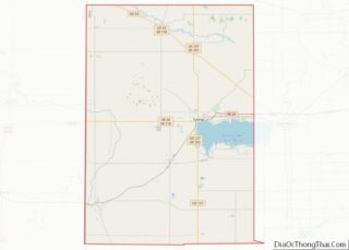
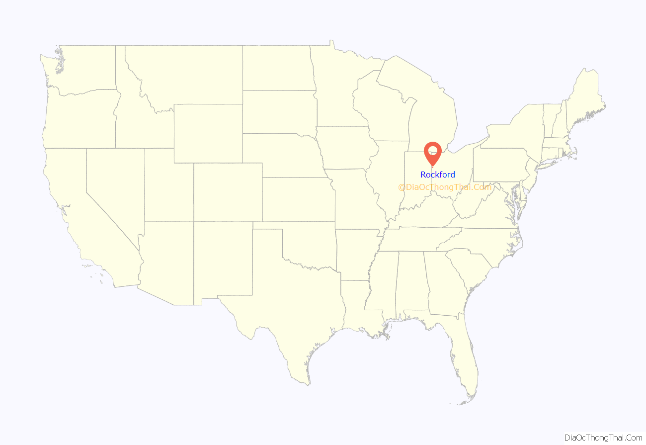
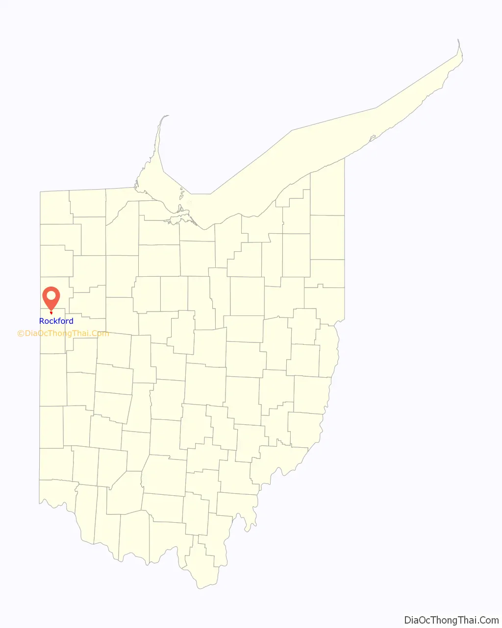
Rockford location map. Where is Rockford village?
History
Prior to European colonisation, the high ground adjacent to St. Marys River at Rockford was used as a camping ground and village site for Native American tribes. Artefacts including weapons and tools have been found on the site.
Early traders, trappers and adventurers used the St. Marys River as a thoroughfare, and frequented trails along the banks of the river. Most notable of these is the Piqua-Fort Wayne Trail linking the Great Lakes to the Ohio River, which crossed to the north bank at Rockford.
During the Indian Wars of the late 18th century, many armies transited Rockhold, most notably General Josiah Harmar en route to his defeat at Kekionga. General Anthony Wayne built Fort Adams in the area of Rockford in the early August 1794, as a temporary relay station and supply depot. Fort Adams was initially garrisoned with 100 soldiers under the command of Lieutenant Underhill. Fort Adams was abandoned in 1796, and is now an archaeological preserve operated by The Archaeological Conservancy. There are no physical remains of the fort.
The earliest records of Rockford originate from French-Indian trader Anthony Madore, who operated a trading post to the north of the current town, on the southern bank of the St. Marys River. It is not known how long Madore owned the post, but he died around 1815.
During the War of 1812, General William Henry Harrison camped in Rockford en route to fight the British and Indian coalition. He was joined at the camp by 200 mounted Ohio volunteers and 800 foot soldiers.
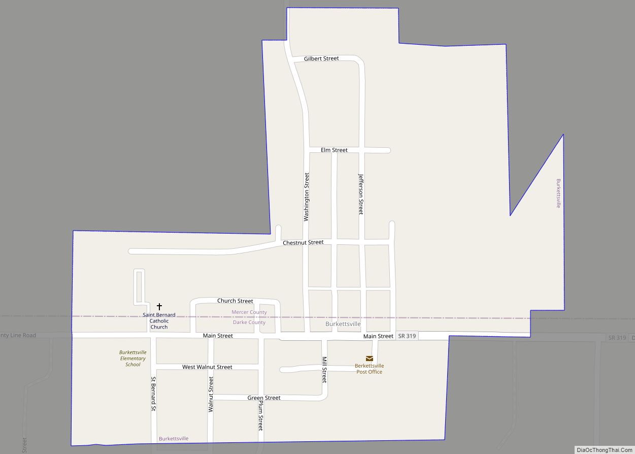
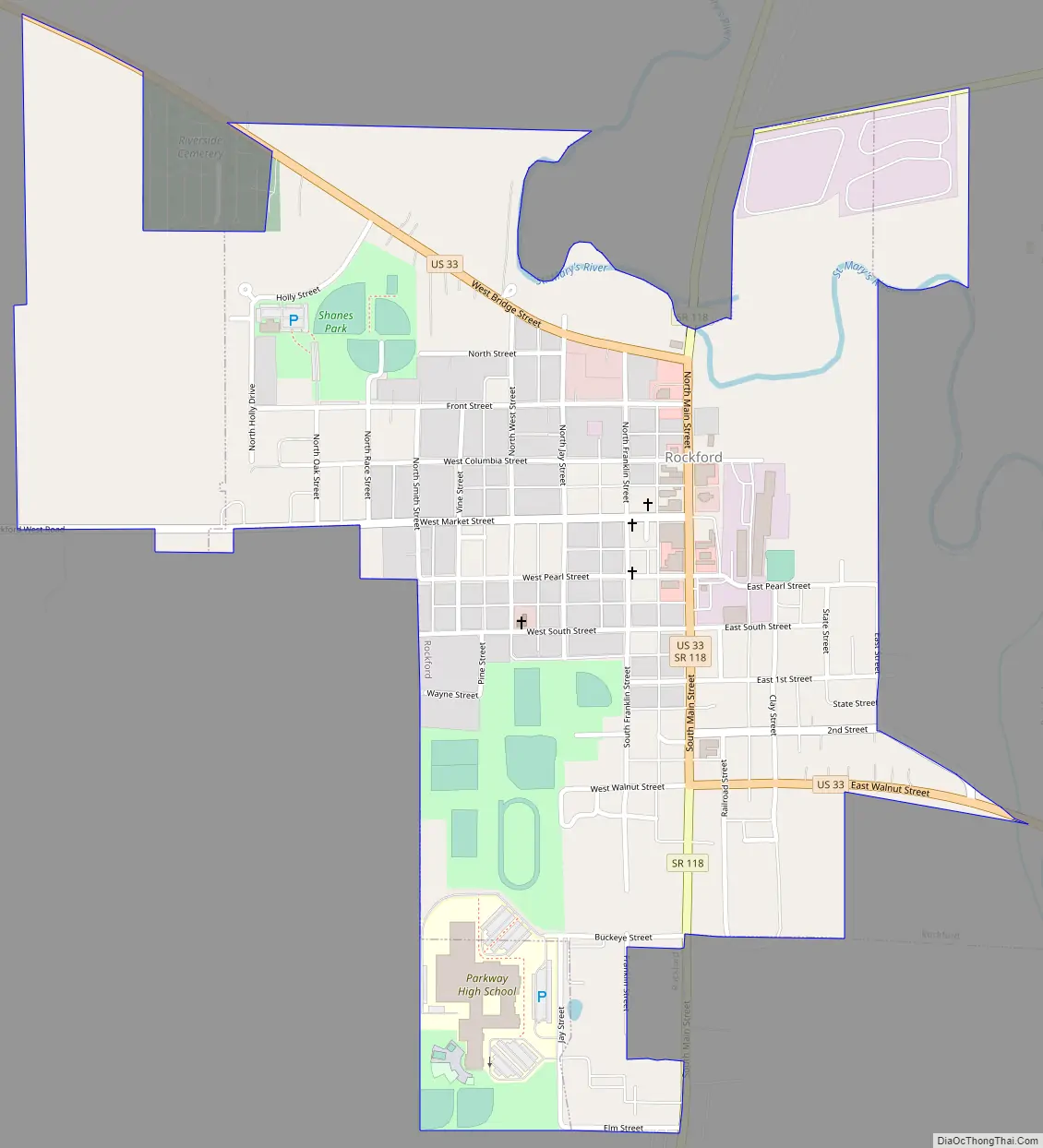
Rockford Road Map
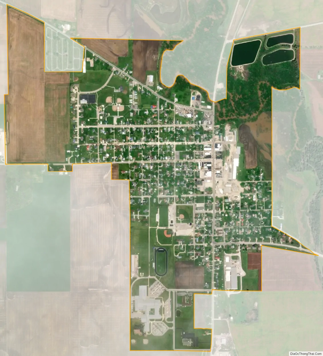
Rockford city Satellite Map
Geography
Rockford is located at 40°41′28″N 84°38′55″W / 40.69111°N 84.64861°W / 40.69111; -84.64861 (40.691022, -84.648627).
According to the United States Census Bureau, the village has a total area of 0.84 square miles (2.18 km), of which 0.82 square miles (2.12 km) is land and 0.02 square miles (0.05 km) is water.
See also
Map of Ohio State and its subdivision:- Adams
- Allen
- Ashland
- Ashtabula
- Athens
- Auglaize
- Belmont
- Brown
- Butler
- Carroll
- Champaign
- Clark
- Clermont
- Clinton
- Columbiana
- Coshocton
- Crawford
- Cuyahoga
- Darke
- Defiance
- Delaware
- Erie
- Fairfield
- Fayette
- Franklin
- Fulton
- Gallia
- Geauga
- Greene
- Guernsey
- Hamilton
- Hancock
- Hardin
- Harrison
- Henry
- Highland
- Hocking
- Holmes
- Huron
- Jackson
- Jefferson
- Knox
- Lake
- Lake Erie
- Lawrence
- Licking
- Logan
- Lorain
- Lucas
- Madison
- Mahoning
- Marion
- Medina
- Meigs
- Mercer
- Miami
- Monroe
- Montgomery
- Morgan
- Morrow
- Muskingum
- Noble
- Ottawa
- Paulding
- Perry
- Pickaway
- Pike
- Portage
- Preble
- Putnam
- Richland
- Ross
- Sandusky
- Scioto
- Seneca
- Shelby
- Stark
- Summit
- Trumbull
- Tuscarawas
- Union
- Van Wert
- Vinton
- Warren
- Washington
- Wayne
- Williams
- Wood
- Wyandot
- Alabama
- Alaska
- Arizona
- Arkansas
- California
- Colorado
- Connecticut
- Delaware
- District of Columbia
- Florida
- Georgia
- Hawaii
- Idaho
- Illinois
- Indiana
- Iowa
- Kansas
- Kentucky
- Louisiana
- Maine
- Maryland
- Massachusetts
- Michigan
- Minnesota
- Mississippi
- Missouri
- Montana
- Nebraska
- Nevada
- New Hampshire
- New Jersey
- New Mexico
- New York
- North Carolina
- North Dakota
- Ohio
- Oklahoma
- Oregon
- Pennsylvania
- Rhode Island
- South Carolina
- South Dakota
- Tennessee
- Texas
- Utah
- Vermont
- Virginia
- Washington
- West Virginia
- Wisconsin
- Wyoming