Rossford is a city in Wood County, Ohio, United States, located along the Maumee River in the Toledo metropolitan area. The population was 6,293 at the 2010 census. The town includes the intersection of Interstate 75 and the Ohio Turnpike. Rossford Public Library and WPAY serve the community.
Rossford was founded as a company town by Edward Ford of the Libbey-Owens-Ford Glass Company. In 1898, Ford purchased 173 acres (0.70 km) along the Maumee River to build the Edward Ford Plate Glass Company.
As workers came to the factory, Ford named the resulting town “Rossford” by combining the last name of his second wife, Caroline Ross, with his. Shortly after the foundation of the plant, Ford built the Ford Club next to the plant, so workers could socialize. In 1998, Rossford’s centennial, the town built a memorial next to the Ford Club in memory of the foundation of the town. The centennial was marked by a street fair, parade, concert, and several other accommodations.
Edward Ford’s father John Baptiste Ford earlier founded Ford City, Pennsylvania as a plate glass company town.
| Name: | Rossford city |
|---|---|
| LSAD Code: | 25 |
| LSAD Description: | city (suffix) |
| State: | Ohio |
| County: | Wood County |
| Elevation: | 617 ft (188 m) |
| Total Area: | 5.20 sq mi (13.46 km²) |
| Land Area: | 5.17 sq mi (13.40 km²) |
| Water Area: | 0.02 sq mi (0.06 km²) |
| Total Population: | 6,299 |
| Population Density: | 1,217.43/sq mi (470.07/km²) |
| ZIP code: | 43460 |
| Area code: | 419/567 |
| FIPS code: | 3968686 |
| GNISfeature ID: | 1049137 |
| Website: | www.rossfordohio.com |
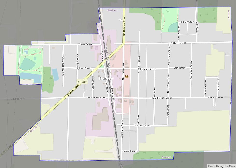
Online Interactive Map
Click on ![]() to view map in "full screen" mode.
to view map in "full screen" mode.
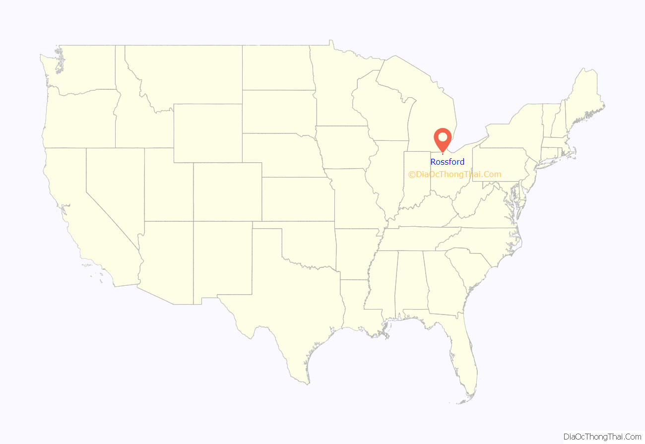
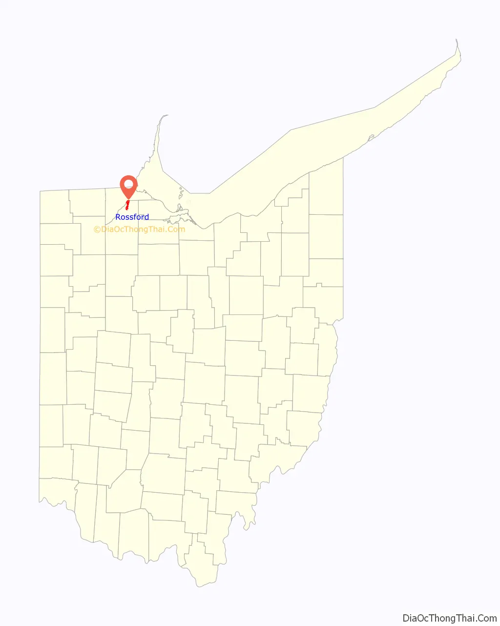
Rossford location map. Where is Rossford city?
Rossford Road Map
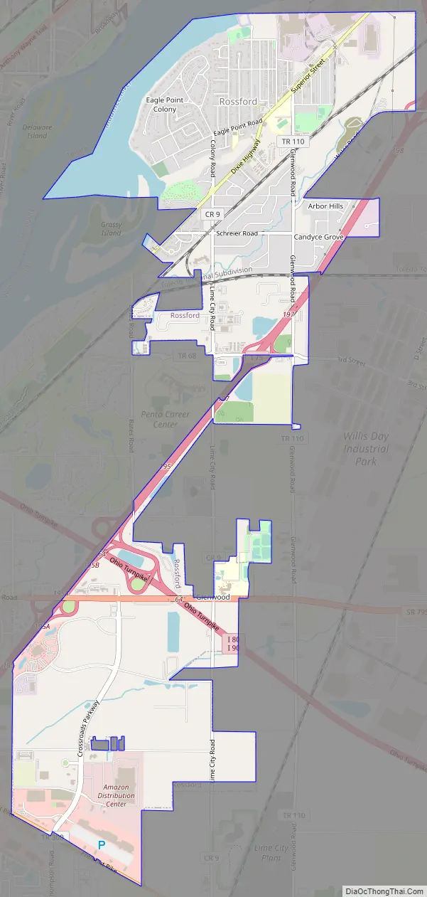
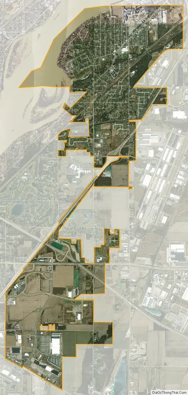
Rossford city Satellite Map
Geography
Rossford is located at 41°35′37″N 83°34′5″W / 41.59361°N 83.56806°W / 41.59361; -83.56806 (41.593717, -83.568047).
According to the United States Census Bureau, the city has a total area of 5.33 square miles (13.80 km), of which 5.02 square miles (13.00 km) is land and 0.31 square miles (0.80 km) is water.
See also
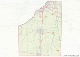
Map of Ohio State and its subdivision:- Adams
- Allen
- Ashland
- Ashtabula
- Athens
- Auglaize
- Belmont
- Brown
- Butler
- Carroll
- Champaign
- Clark
- Clermont
- Clinton
- Columbiana
- Coshocton
- Crawford
- Cuyahoga
- Darke
- Defiance
- Delaware
- Erie
- Fairfield
- Fayette
- Franklin
- Fulton
- Gallia
- Geauga
- Greene
- Guernsey
- Hamilton
- Hancock
- Hardin
- Harrison
- Henry
- Highland
- Hocking
- Holmes
- Huron
- Jackson
- Jefferson
- Knox
- Lake
- Lake Erie
- Lawrence
- Licking
- Logan
- Lorain
- Lucas
- Madison
- Mahoning
- Marion
- Medina
- Meigs
- Mercer
- Miami
- Monroe
- Montgomery
- Morgan
- Morrow
- Muskingum
- Noble
- Ottawa
- Paulding
- Perry
- Pickaway
- Pike
- Portage
- Preble
- Putnam
- Richland
- Ross
- Sandusky
- Scioto
- Seneca
- Shelby
- Stark
- Summit
- Trumbull
- Tuscarawas
- Union
- Van Wert
- Vinton
- Warren
- Washington
- Wayne
- Williams
- Wood
- Wyandot
- Alabama
- Alaska
- Arizona
- Arkansas
- California
- Colorado
- Connecticut
- Delaware
- District of Columbia
- Florida
- Georgia
- Hawaii
- Idaho
- Illinois
- Indiana
- Iowa
- Kansas
- Kentucky
- Louisiana
- Maine
- Maryland
- Massachusetts
- Michigan
- Minnesota
- Mississippi
- Missouri
- Montana
- Nebraska
- Nevada
- New Hampshire
- New Jersey
- New Mexico
- New York
- North Carolina
- North Dakota
- Ohio
- Oklahoma
- Oregon
- Pennsylvania
- Rhode Island
- South Carolina
- South Dakota
- Tennessee
- Texas
- Utah
- Vermont
- Virginia
- Washington
- West Virginia
- Wisconsin
- Wyoming