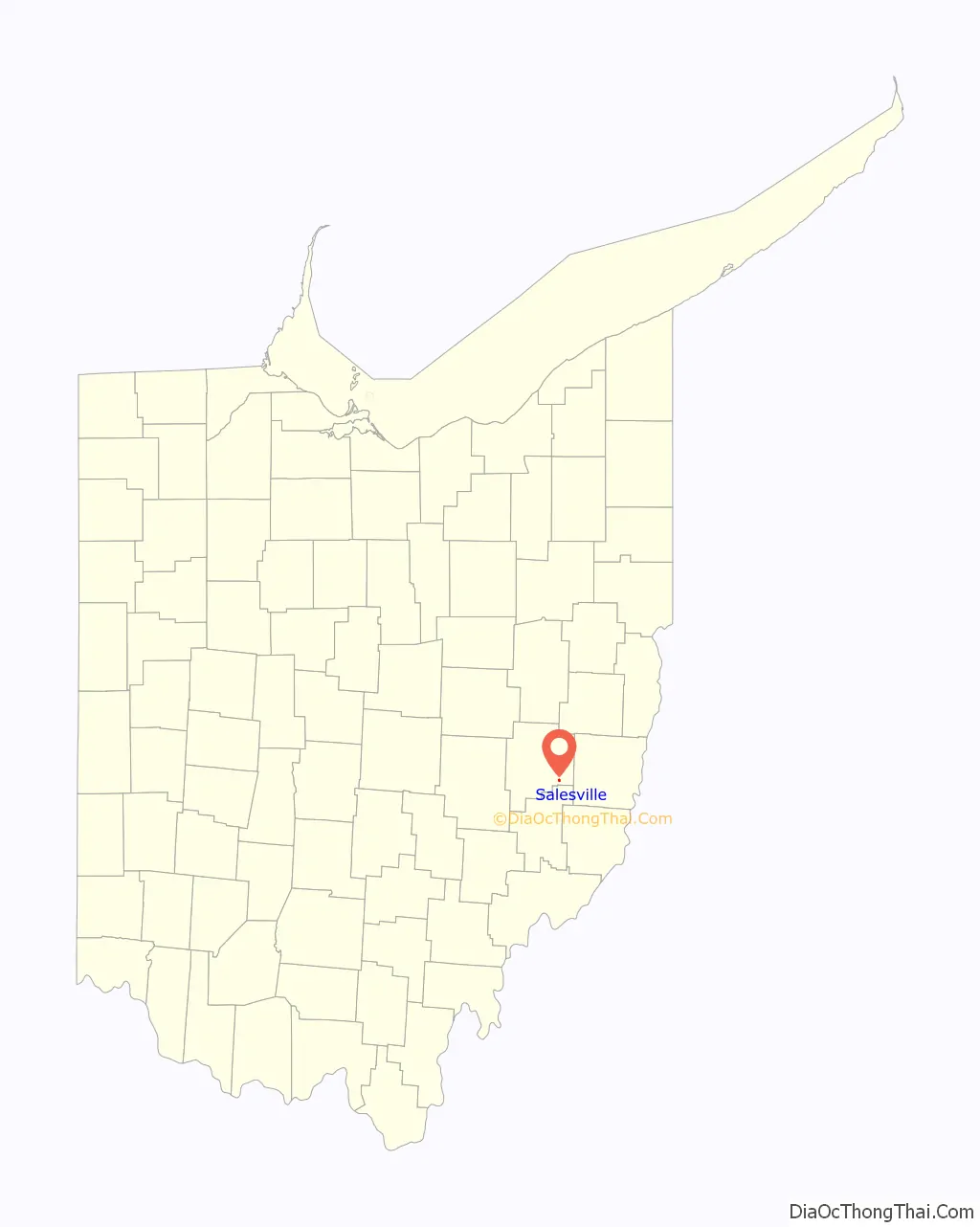
Salesville is a census-designated place and former village in Guernsey County, Ohio, United States. As of the 2020 census, the population was 123, down from 129 at the 2010 census. Its residents voted for dissolution in 2016.
| Name: | Salesville CDP |
|---|---|
| LSAD Code: | 57 |
| LSAD Description: | CDP (suffix) |
| State: | Ohio |
| County: | Guernsey County |
| Incorporated: | 1878; 145 years ago (1878) |
| Elevation: | 866 ft (264 m) |
| Total Area: | 0.19 sq mi (0.50 km²) |
| Land Area: | 0.19 sq mi (0.50 km²) |
| Water Area: | 0.00 sq mi (0.00 km²) |
| Total Population: | 123 |
| Population Density: | 634.02/sq mi (244.29/km²) |
| ZIP code: | 43778 |
| Area code: | 740 |
| FIPS code: | 3970072 |
| GNISfeature ID: | 1049147 |
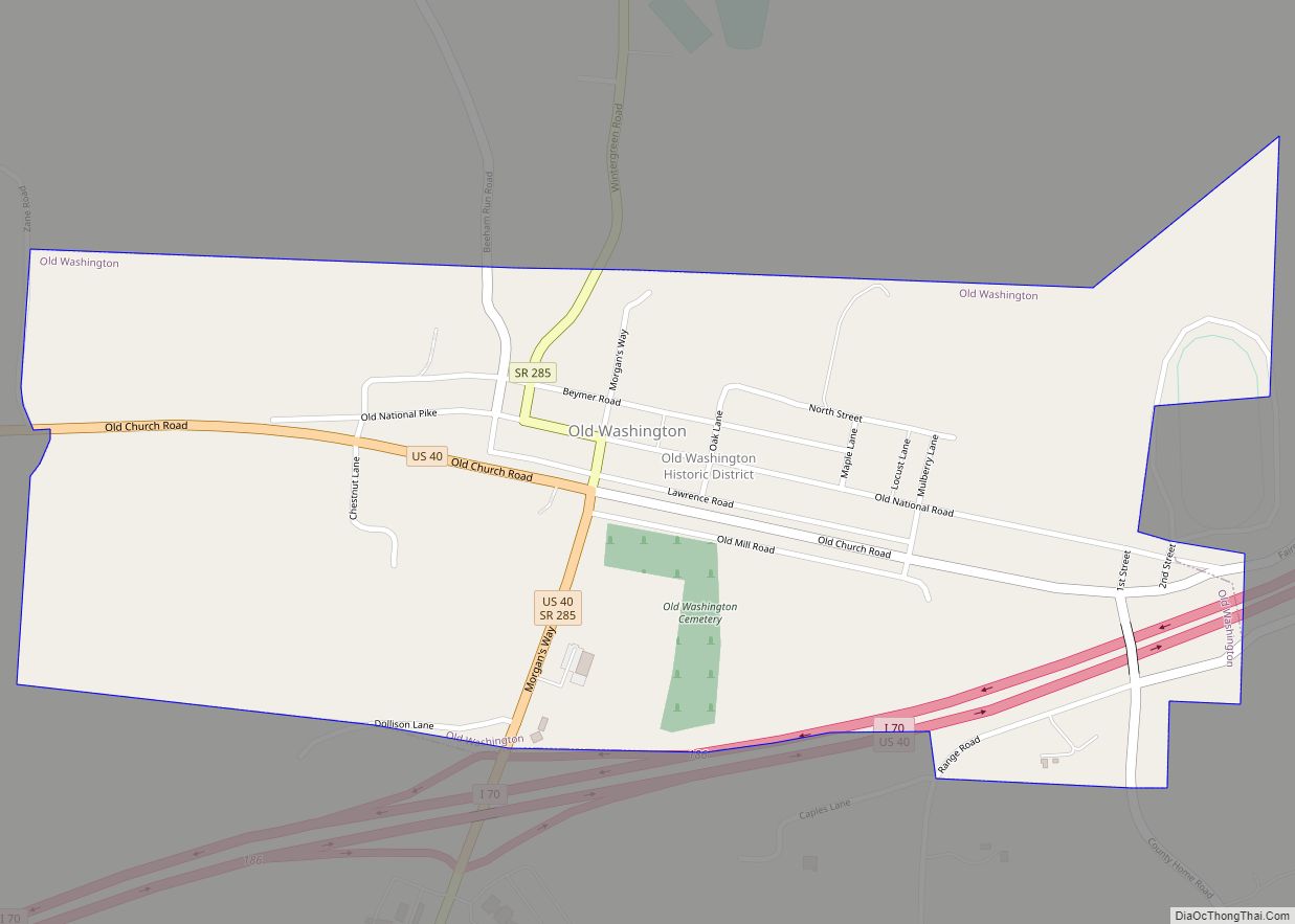
Online Interactive Map
Click on ![]() to view map in "full screen" mode.
to view map in "full screen" mode.
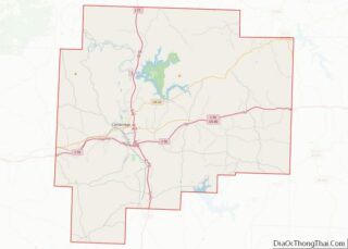
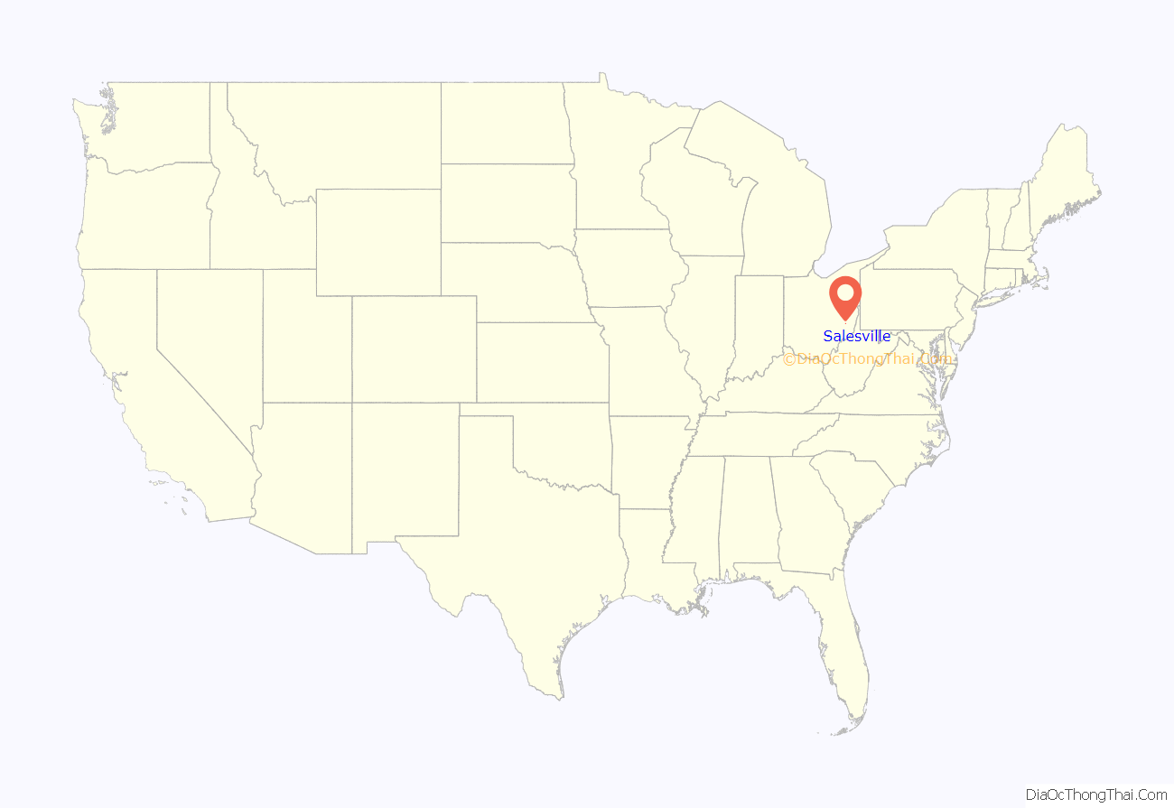
Salesville location map. Where is Salesville CDP?
History
Salesville was platted in 1835. The village was incorporated in 1878. A post office called Salesville was established in 1855, and remained in operation until 2002.
In 1828 at a Salesville camp meeting, Joseph C. Dylkes made his public claim as a messiah, becoming known as the Leatherwood God.
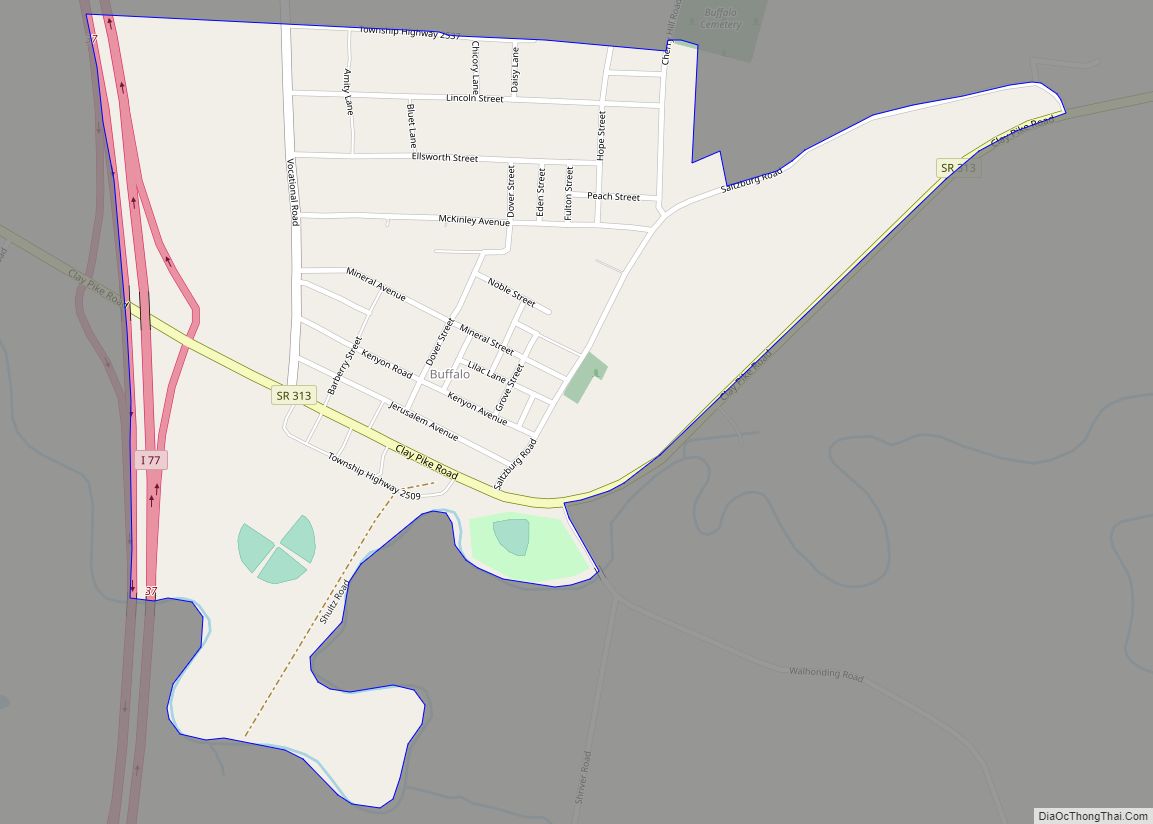
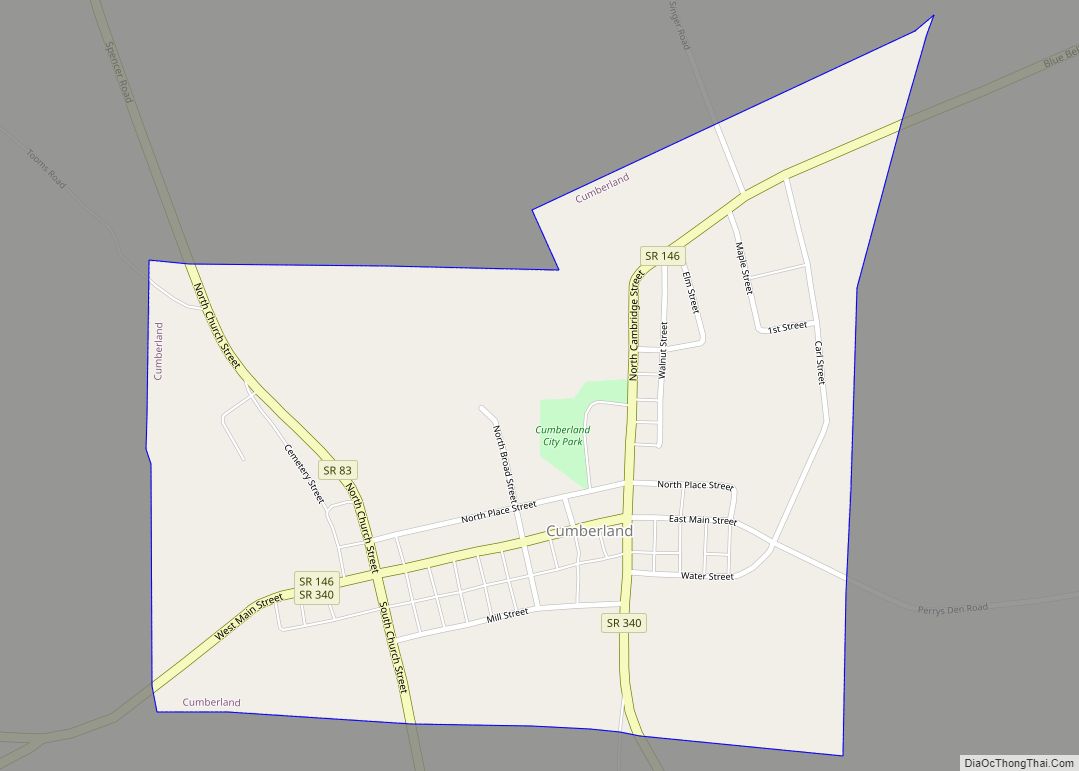
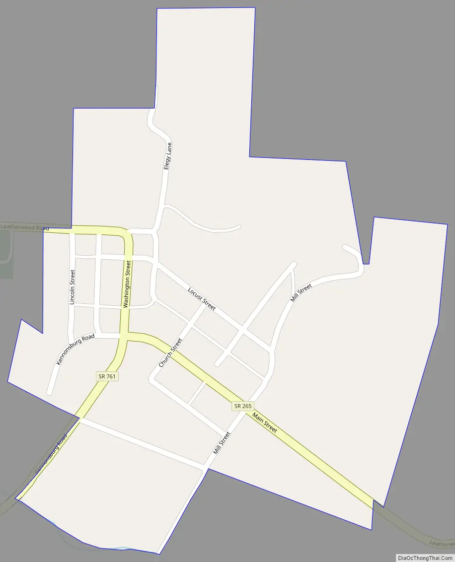
Salesville Road Map
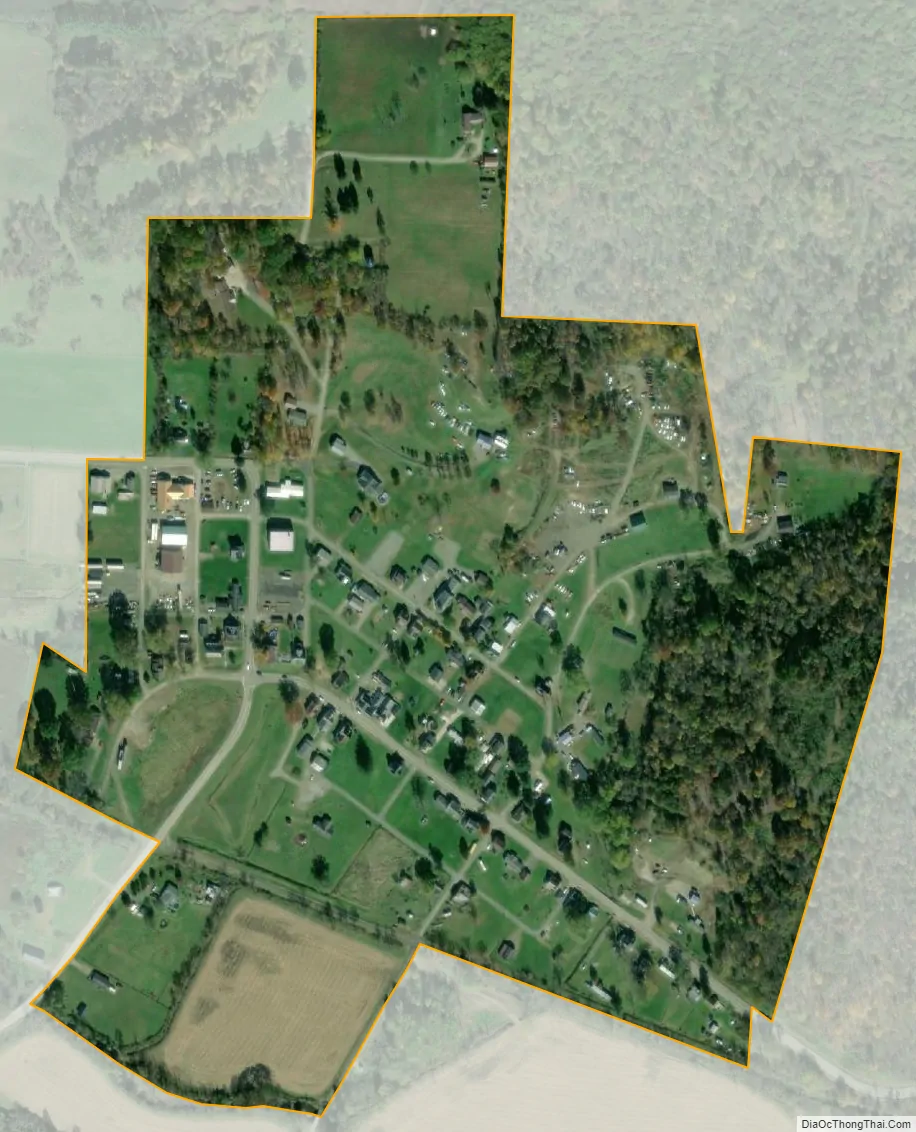
Salesville city Satellite Map
Geography
Salesville is located at 39°58′26″N 81°20′14″W / 39.97389°N 81.33722°W / 39.97389; -81.33722 (39.973987, -81.337326), along Leatherwood Creek.
According to the United States Census Bureau, the village had a total area of 0.10 square miles (0.26 km), all land.
See also
Map of Ohio State and its subdivision:- Adams
- Allen
- Ashland
- Ashtabula
- Athens
- Auglaize
- Belmont
- Brown
- Butler
- Carroll
- Champaign
- Clark
- Clermont
- Clinton
- Columbiana
- Coshocton
- Crawford
- Cuyahoga
- Darke
- Defiance
- Delaware
- Erie
- Fairfield
- Fayette
- Franklin
- Fulton
- Gallia
- Geauga
- Greene
- Guernsey
- Hamilton
- Hancock
- Hardin
- Harrison
- Henry
- Highland
- Hocking
- Holmes
- Huron
- Jackson
- Jefferson
- Knox
- Lake
- Lake Erie
- Lawrence
- Licking
- Logan
- Lorain
- Lucas
- Madison
- Mahoning
- Marion
- Medina
- Meigs
- Mercer
- Miami
- Monroe
- Montgomery
- Morgan
- Morrow
- Muskingum
- Noble
- Ottawa
- Paulding
- Perry
- Pickaway
- Pike
- Portage
- Preble
- Putnam
- Richland
- Ross
- Sandusky
- Scioto
- Seneca
- Shelby
- Stark
- Summit
- Trumbull
- Tuscarawas
- Union
- Van Wert
- Vinton
- Warren
- Washington
- Wayne
- Williams
- Wood
- Wyandot
- Alabama
- Alaska
- Arizona
- Arkansas
- California
- Colorado
- Connecticut
- Delaware
- District of Columbia
- Florida
- Georgia
- Hawaii
- Idaho
- Illinois
- Indiana
- Iowa
- Kansas
- Kentucky
- Louisiana
- Maine
- Maryland
- Massachusetts
- Michigan
- Minnesota
- Mississippi
- Missouri
- Montana
- Nebraska
- Nevada
- New Hampshire
- New Jersey
- New Mexico
- New York
- North Carolina
- North Dakota
- Ohio
- Oklahoma
- Oregon
- Pennsylvania
- Rhode Island
- South Carolina
- South Dakota
- Tennessee
- Texas
- Utah
- Vermont
- Virginia
- Washington
- West Virginia
- Wisconsin
- Wyoming