Sardinia is a village in Brown and Highland counties in the U.S. state of Ohio. The population was 980 at the 2010 census.
| Name: | Sardinia village |
|---|---|
| LSAD Code: | 47 |
| LSAD Description: | village (suffix) |
| State: | Ohio |
| County: | Brown County, Highland County |
| Elevation: | 958 ft (292 m) |
| Total Area: | 1.75 sq mi (4.54 km²) |
| Land Area: | 1.75 sq mi (4.54 km²) |
| Water Area: | 0.00 sq mi (0.00 km²) |
| Total Population: | 1,083 |
| Population Density: | 617.45/sq mi (238.37/km²) |
| ZIP code: | 45171 |
| Area code: | 937, 326 |
| FIPS code: | 3970534 |
| GNISfeature ID: | 1077345 |
| Website: | villageofsardinia.com |
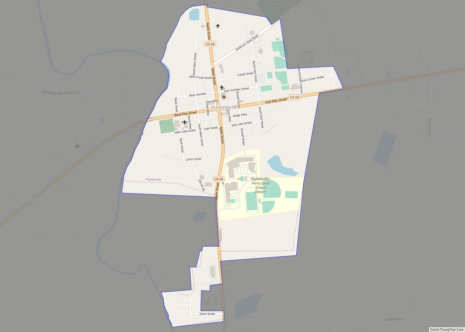
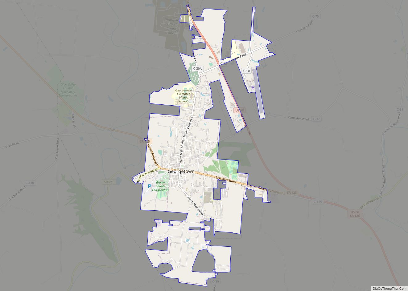
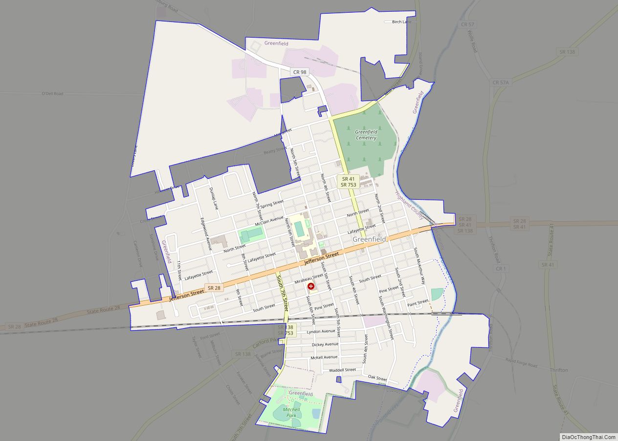
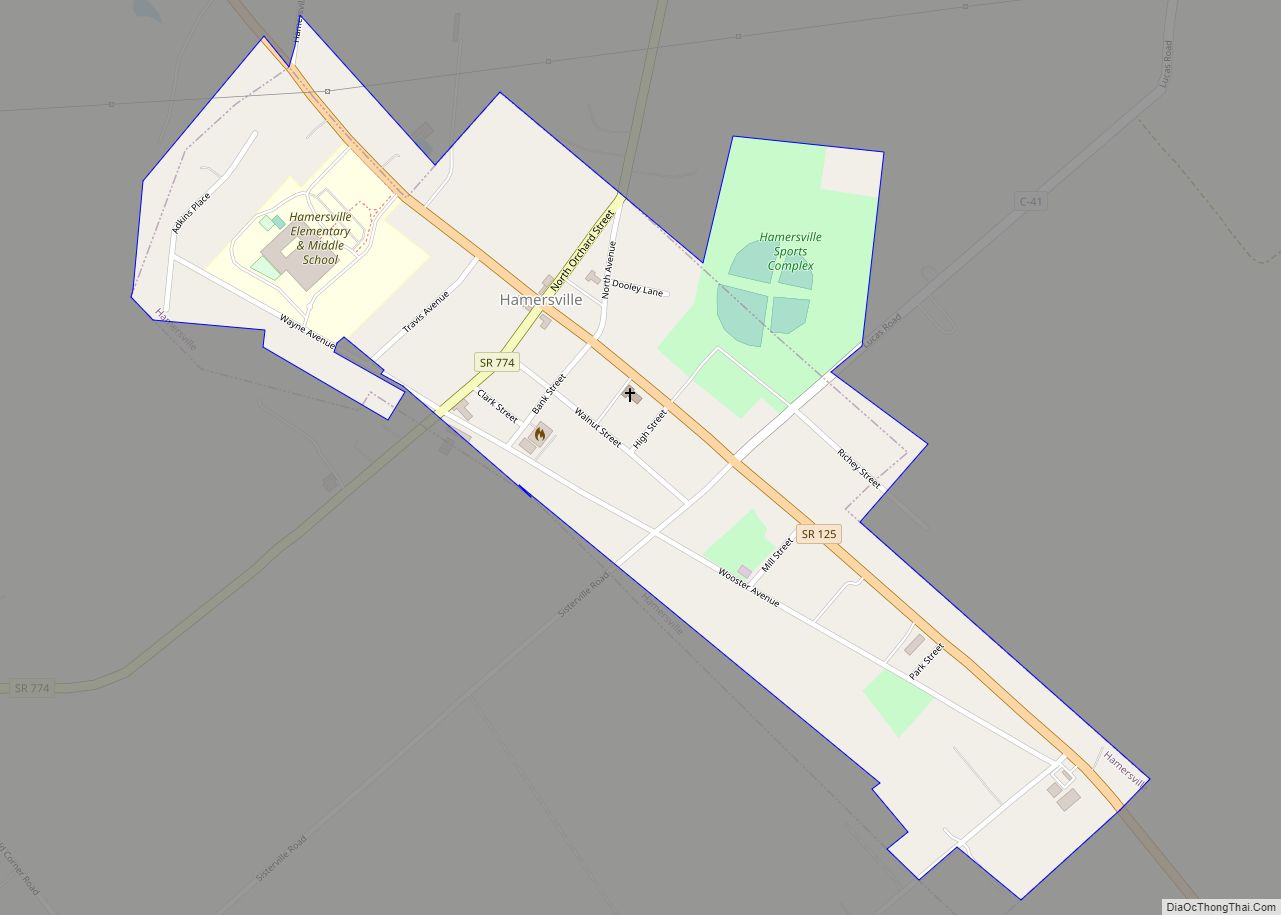
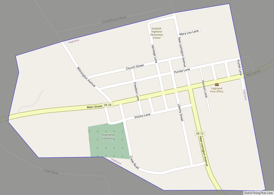
Online Interactive Map
Click on ![]() to view map in "full screen" mode.
to view map in "full screen" mode.
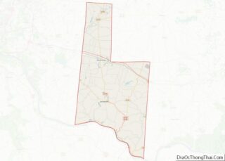
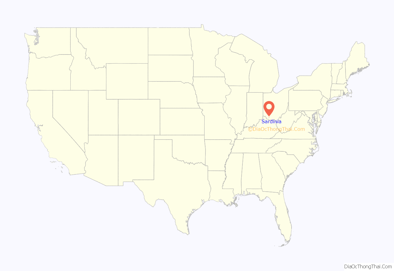
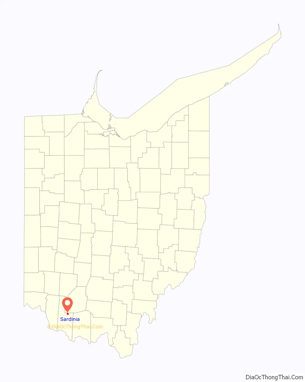
Sardinia location map. Where is Sardinia village?
History
Sardinia was laid out in 1833. The village’s name is derived from the homonymous island in the Mediterranean Sea. Historically, Sardinia was a post village of Brown County, in Washington township, established in 1830, situated on the east fork of White Oak Creek, 12 miles (19 km) north-east of Georgetown, and 44 miles (71 km) east of Cincinnati. In 1860, Sardinia’s population was 200 and Washington Township had a population of 1,300. It was a station on the Cincinnati & Eastern Railroad, today the Cincinnati Eastern Railroad (CCET).
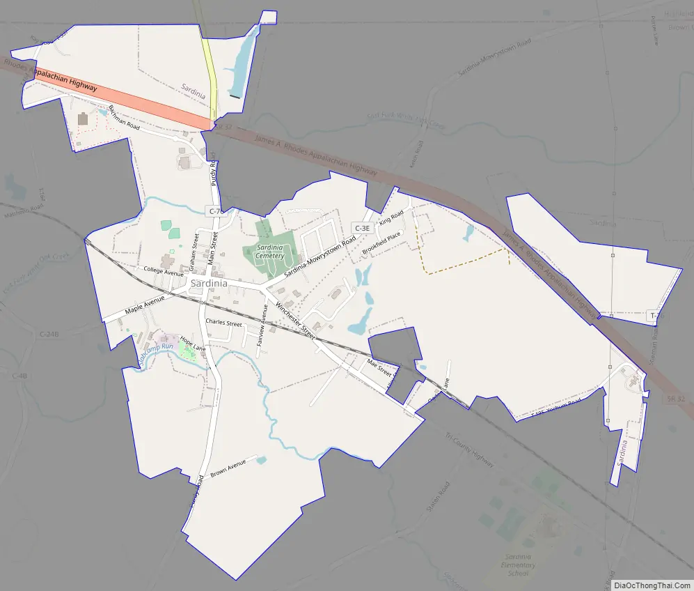
Sardinia Road Map
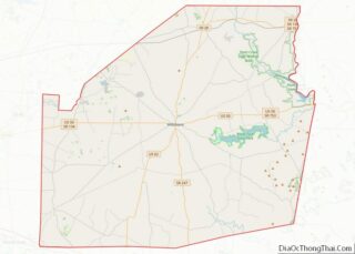
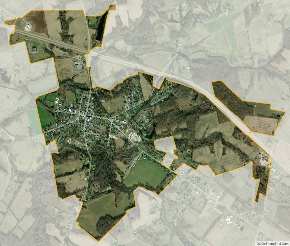
Sardinia city Satellite Map
Geography
Sardinia is located mostly in Washington Township in Brown County, and partly in Clay Township in southwestern Highland County, at 39°0′31″N 83°48′15″W / 39.00861°N 83.80417°W / 39.00861; -83.80417 (39.008718, -83.804213),
According to the United States Census Bureau, the village has a total area of 1.24 square miles (3.21 km), all land.
See also
Map of Ohio State and its subdivision:- Adams
- Allen
- Ashland
- Ashtabula
- Athens
- Auglaize
- Belmont
- Brown
- Butler
- Carroll
- Champaign
- Clark
- Clermont
- Clinton
- Columbiana
- Coshocton
- Crawford
- Cuyahoga
- Darke
- Defiance
- Delaware
- Erie
- Fairfield
- Fayette
- Franklin
- Fulton
- Gallia
- Geauga
- Greene
- Guernsey
- Hamilton
- Hancock
- Hardin
- Harrison
- Henry
- Highland
- Hocking
- Holmes
- Huron
- Jackson
- Jefferson
- Knox
- Lake
- Lake Erie
- Lawrence
- Licking
- Logan
- Lorain
- Lucas
- Madison
- Mahoning
- Marion
- Medina
- Meigs
- Mercer
- Miami
- Monroe
- Montgomery
- Morgan
- Morrow
- Muskingum
- Noble
- Ottawa
- Paulding
- Perry
- Pickaway
- Pike
- Portage
- Preble
- Putnam
- Richland
- Ross
- Sandusky
- Scioto
- Seneca
- Shelby
- Stark
- Summit
- Trumbull
- Tuscarawas
- Union
- Van Wert
- Vinton
- Warren
- Washington
- Wayne
- Williams
- Wood
- Wyandot
- Alabama
- Alaska
- Arizona
- Arkansas
- California
- Colorado
- Connecticut
- Delaware
- District of Columbia
- Florida
- Georgia
- Hawaii
- Idaho
- Illinois
- Indiana
- Iowa
- Kansas
- Kentucky
- Louisiana
- Maine
- Maryland
- Massachusetts
- Michigan
- Minnesota
- Mississippi
- Missouri
- Montana
- Nebraska
- Nevada
- New Hampshire
- New Jersey
- New Mexico
- New York
- North Carolina
- North Dakota
- Ohio
- Oklahoma
- Oregon
- Pennsylvania
- Rhode Island
- South Carolina
- South Dakota
- Tennessee
- Texas
- Utah
- Vermont
- Virginia
- Washington
- West Virginia
- Wisconsin
- Wyoming