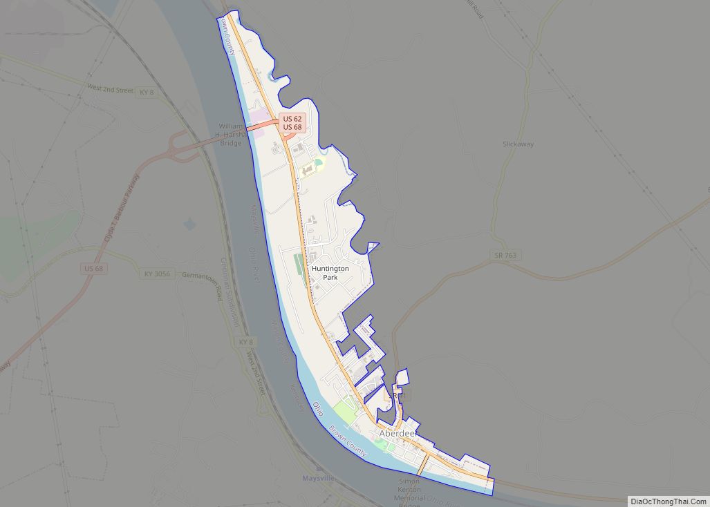
Aberdeen is a village in Huntington Township, Brown County, Ohio, United States, along the Ohio River 50 miles (80 km) southeast of Cincinnati. The population was 1,638 at the 2010 census.
| Name: | Aberdeen village |
|---|---|
| LSAD Code: | 47 |
| LSAD Description: | village (suffix) |
| State: | Ohio |
| County: | Brown County |
| Founded: | 1795 |
| Incorporated: | July 5, 1816 |
| Elevation: | 515 ft (157 m) |
| Total Area: | 1.63 sq mi (4.23 km²) |
| Land Area: | 1.35 sq mi (3.50 km²) |
| Water Area: | 0.28 sq mi (0.74 km²) |
| Total Population: | 1,515 |
| Population Density: | 1,122.22/sq mi (433.21/km²) |
| ZIP code: | 45101 |
| FIPS code: | 3900142 |
| GNISfeature ID: | 1056195 |
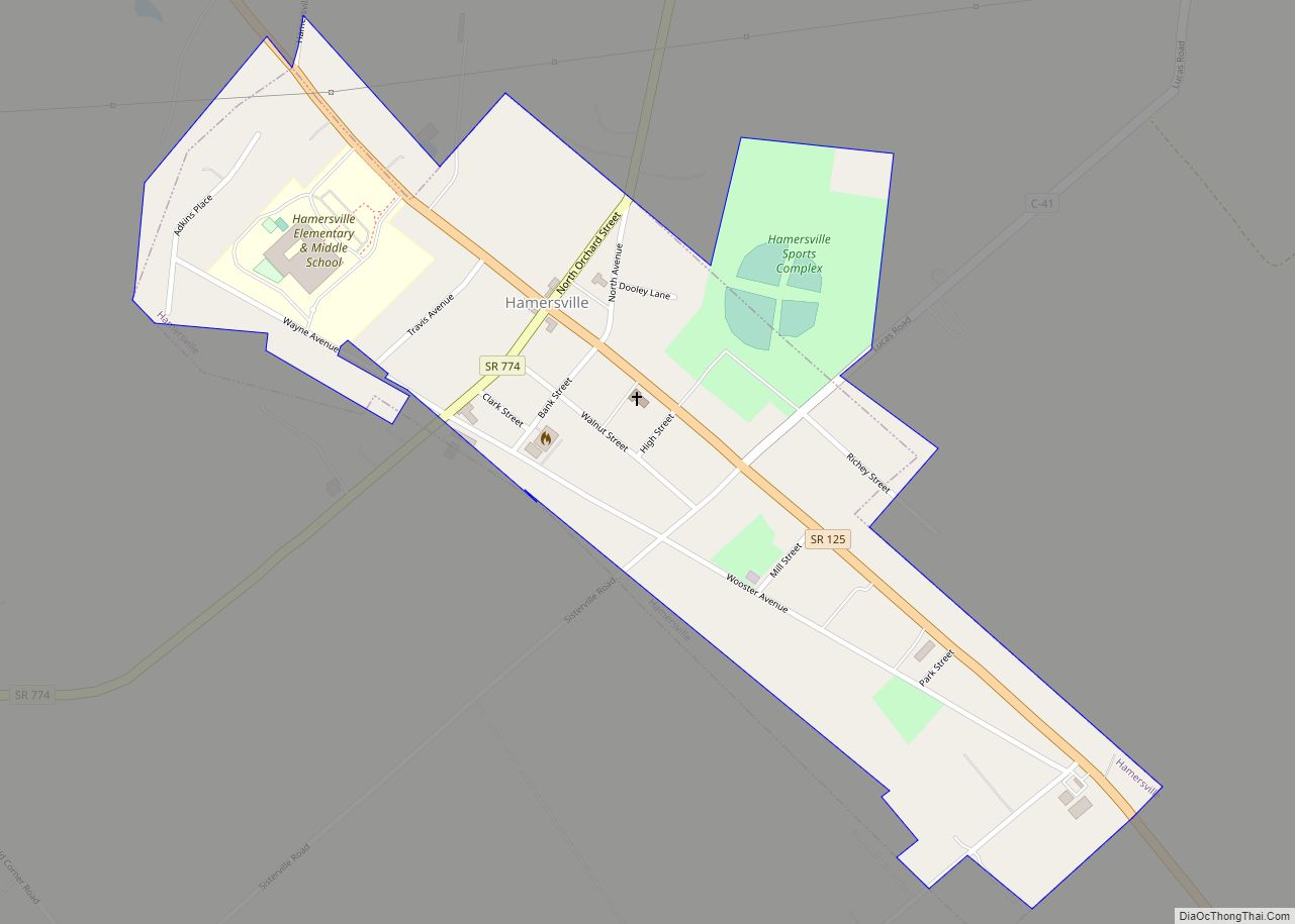
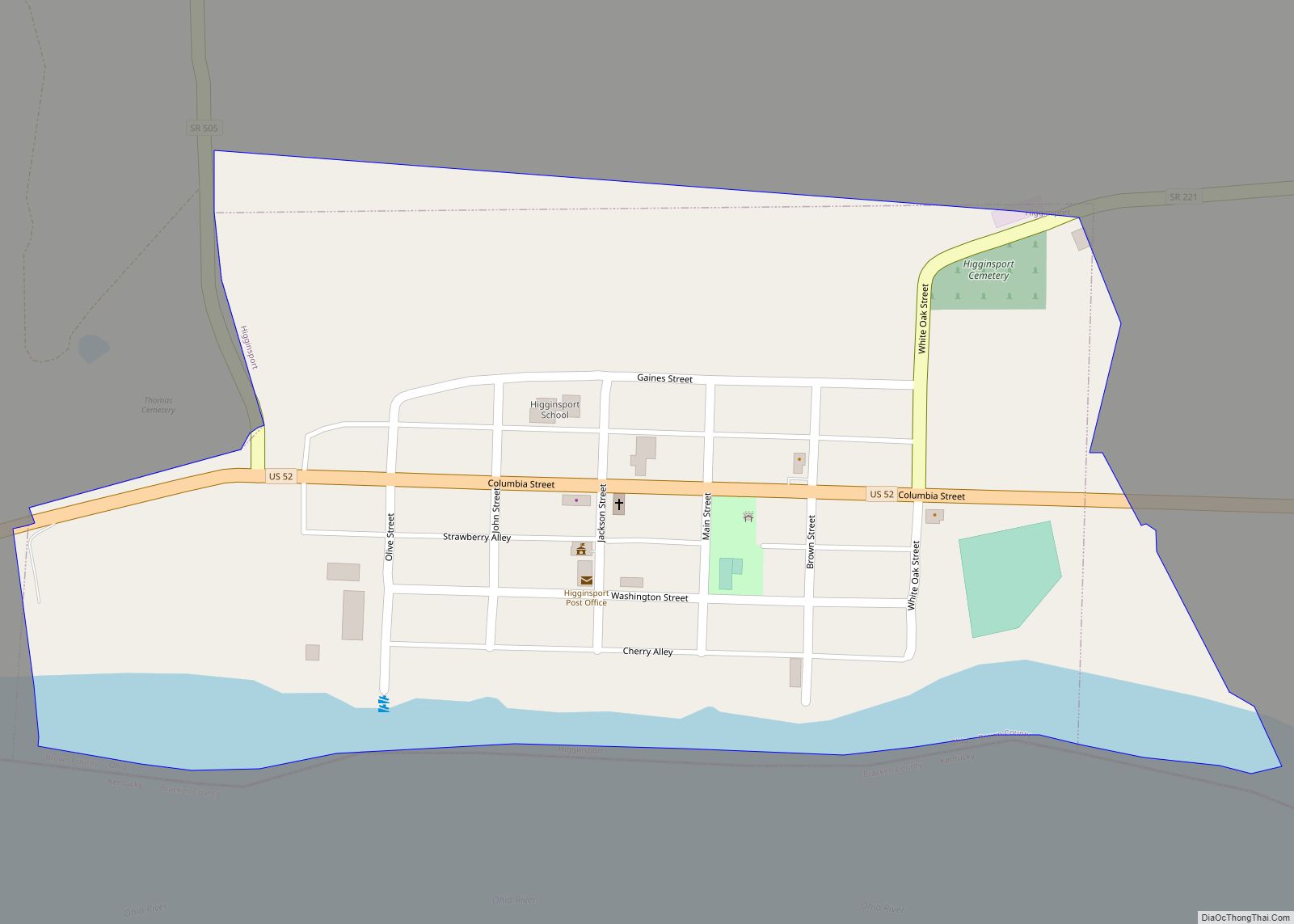
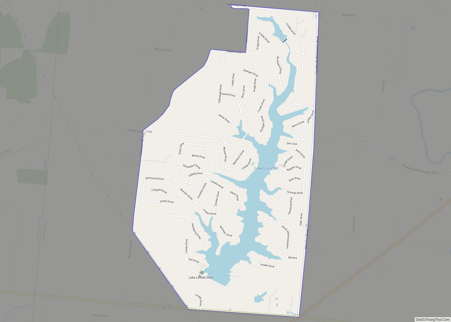
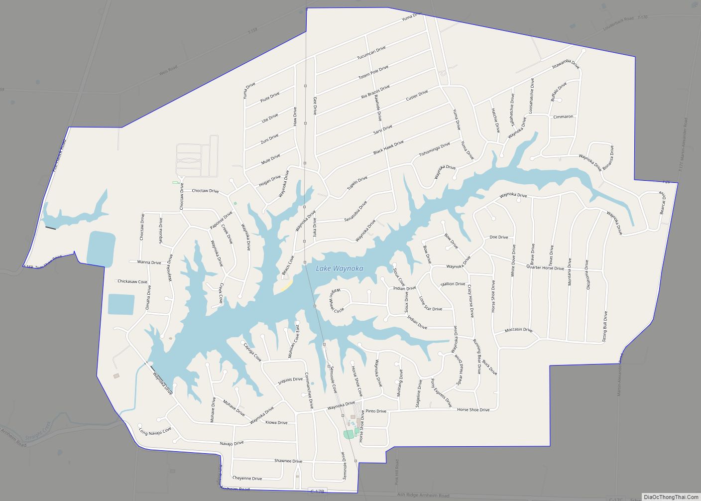
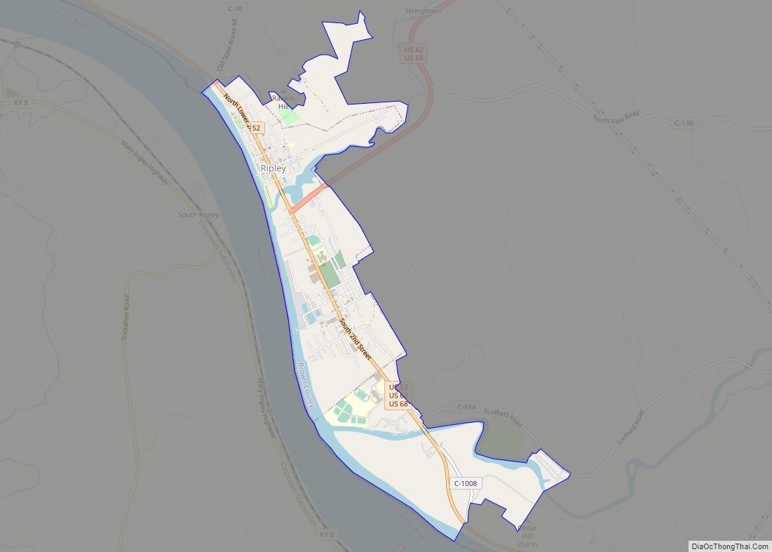
Online Interactive Map
Click on ![]() to view map in "full screen" mode.
to view map in "full screen" mode.
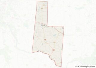
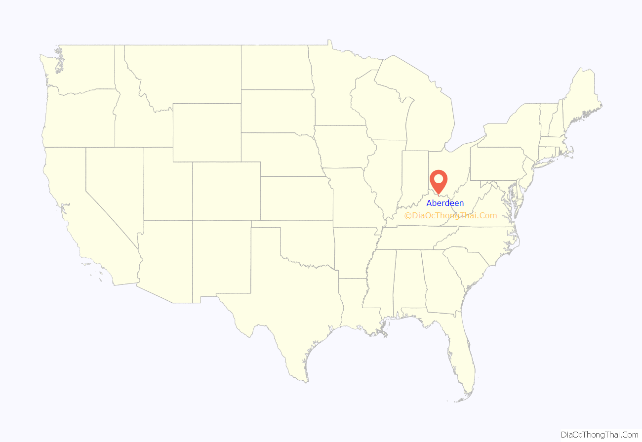
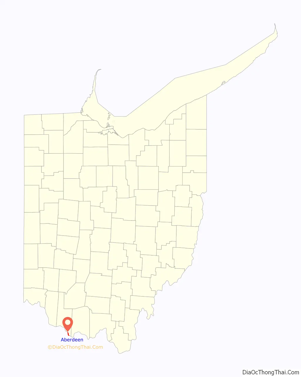
Aberdeen location map. Where is Aberdeen village?
History
Aberdeen was founded by James Edwards in 1795 and platted by Nathan Ellis in 1816. It was incorporated on July 5, 1816. It was part of Zane’s Trace, a frontier road through the Northwest Territory completed in 1797. Aberdeen is connected to Maysville, Kentucky by the Simon Kenton Memorial Bridge and the William H. Harsha Bridge, a cable-stayed bridge completed in 2001.
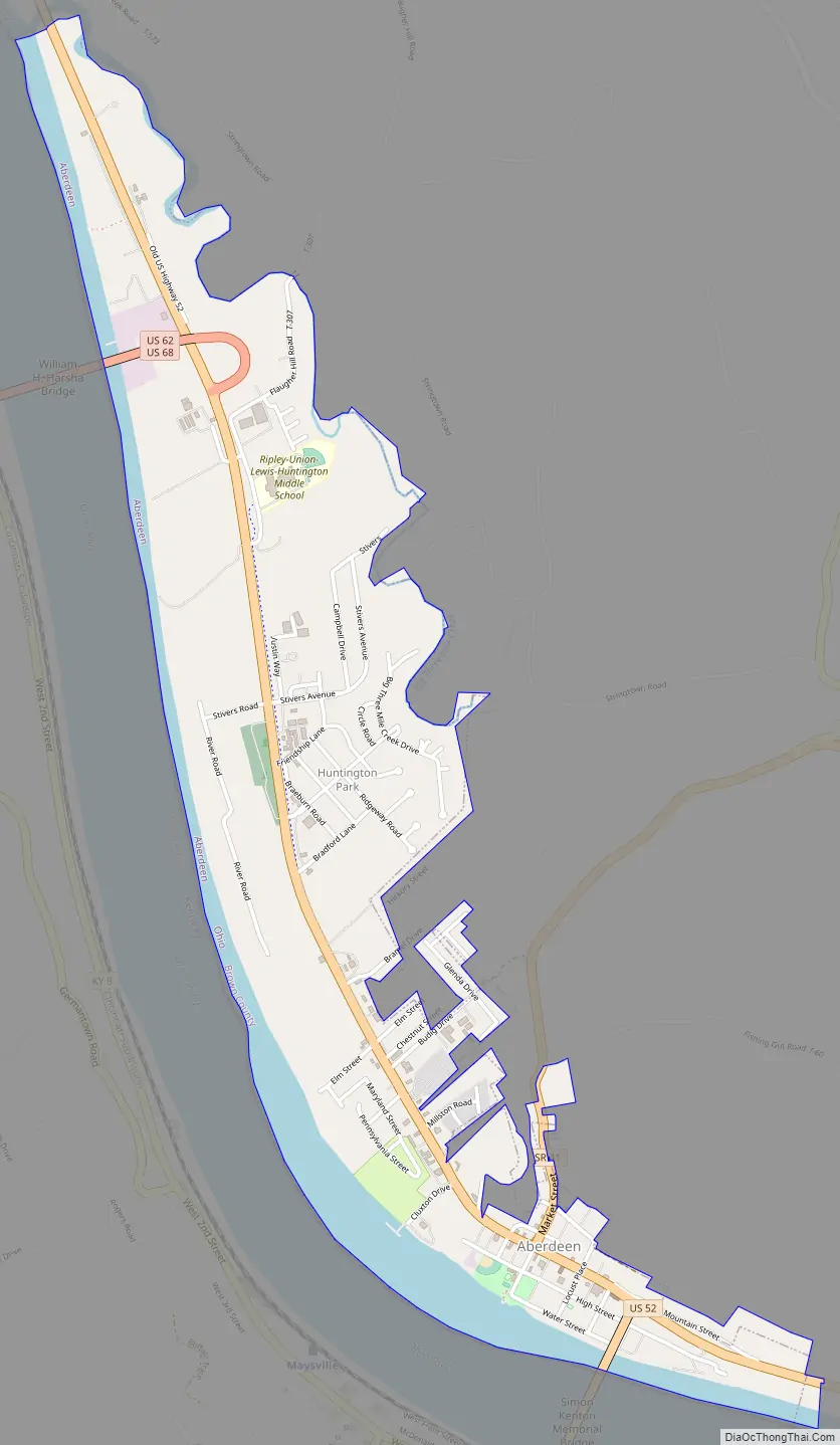
Aberdeen Road Map
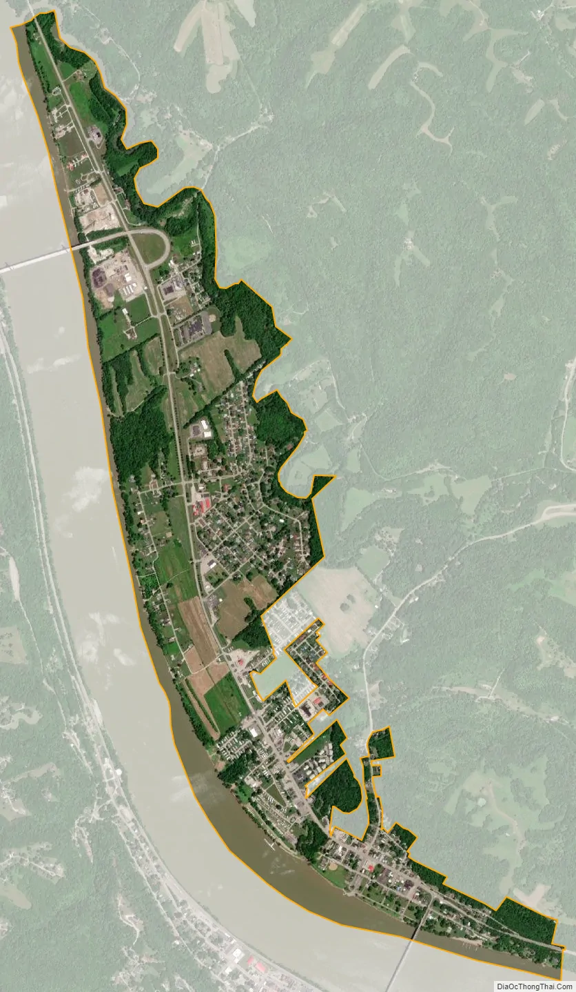
Aberdeen city Satellite Map
Geography
Aberdeen is located at 38°39′54″N 83°46′3″W / 38.66500°N 83.76750°W / 38.66500; -83.76750 (38.665027, -83.767638).
According to the United States Census Bureau, the village has a total area of 1.63 square miles (4.22 km), of which 1.35 square miles (3.50 km) is land and 0.28 square miles (0.73 km) is water.
See also
Map of Ohio State and its subdivision:- Adams
- Allen
- Ashland
- Ashtabula
- Athens
- Auglaize
- Belmont
- Brown
- Butler
- Carroll
- Champaign
- Clark
- Clermont
- Clinton
- Columbiana
- Coshocton
- Crawford
- Cuyahoga
- Darke
- Defiance
- Delaware
- Erie
- Fairfield
- Fayette
- Franklin
- Fulton
- Gallia
- Geauga
- Greene
- Guernsey
- Hamilton
- Hancock
- Hardin
- Harrison
- Henry
- Highland
- Hocking
- Holmes
- Huron
- Jackson
- Jefferson
- Knox
- Lake
- Lake Erie
- Lawrence
- Licking
- Logan
- Lorain
- Lucas
- Madison
- Mahoning
- Marion
- Medina
- Meigs
- Mercer
- Miami
- Monroe
- Montgomery
- Morgan
- Morrow
- Muskingum
- Noble
- Ottawa
- Paulding
- Perry
- Pickaway
- Pike
- Portage
- Preble
- Putnam
- Richland
- Ross
- Sandusky
- Scioto
- Seneca
- Shelby
- Stark
- Summit
- Trumbull
- Tuscarawas
- Union
- Van Wert
- Vinton
- Warren
- Washington
- Wayne
- Williams
- Wood
- Wyandot
- Alabama
- Alaska
- Arizona
- Arkansas
- California
- Colorado
- Connecticut
- Delaware
- District of Columbia
- Florida
- Georgia
- Hawaii
- Idaho
- Illinois
- Indiana
- Iowa
- Kansas
- Kentucky
- Louisiana
- Maine
- Maryland
- Massachusetts
- Michigan
- Minnesota
- Mississippi
- Missouri
- Montana
- Nebraska
- Nevada
- New Hampshire
- New Jersey
- New Mexico
- New York
- North Carolina
- North Dakota
- Ohio
- Oklahoma
- Oregon
- Pennsylvania
- Rhode Island
- South Carolina
- South Dakota
- Tennessee
- Texas
- Utah
- Vermont
- Virginia
- Washington
- West Virginia
- Wisconsin
- Wyoming