Seven Mile is a village in Butler County, Ohio, United States. The population was 712 at the 2020 census.
Seven Mile is served by Edgewood Local School District. Seven Mile Elementary School is the only school located within the village limits.
| Name: | Seven Mile village |
|---|---|
| LSAD Code: | 47 |
| LSAD Description: | village (suffix) |
| State: | Ohio |
| County: | Butler County |
| Elevation: | 653 ft (199 m) |
| Total Area: | 0.72 sq mi (1.87 km²) |
| Land Area: | 0.72 sq mi (1.87 km²) |
| Water Area: | 0.00 sq mi (0.00 km²) |
| Total Population: | 712 |
| Population Density: | 984.79/sq mi (380.32/km²) |
| ZIP code: | 45062 |
| Area code: | 513 |
| FIPS code: | 3971444 |
| GNISfeature ID: | 1065300 |
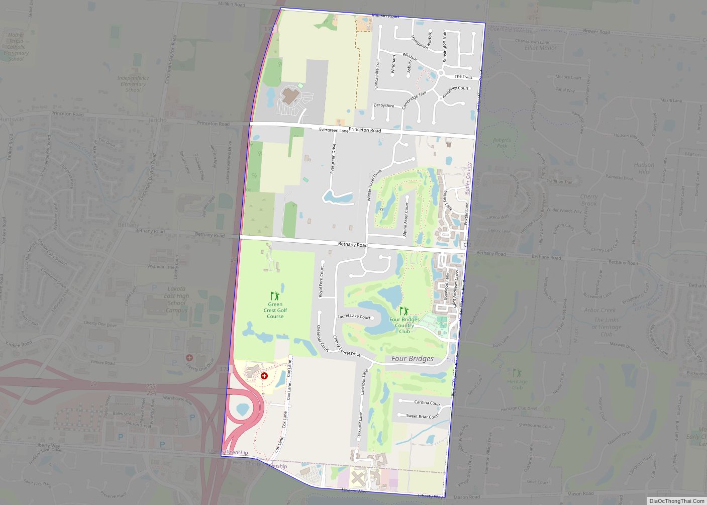
Online Interactive Map
Click on ![]() to view map in "full screen" mode.
to view map in "full screen" mode.
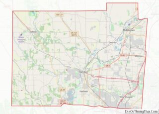
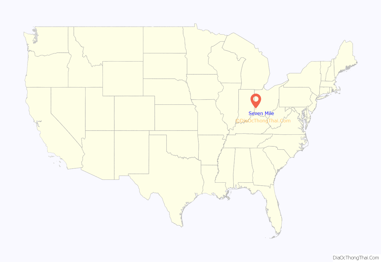
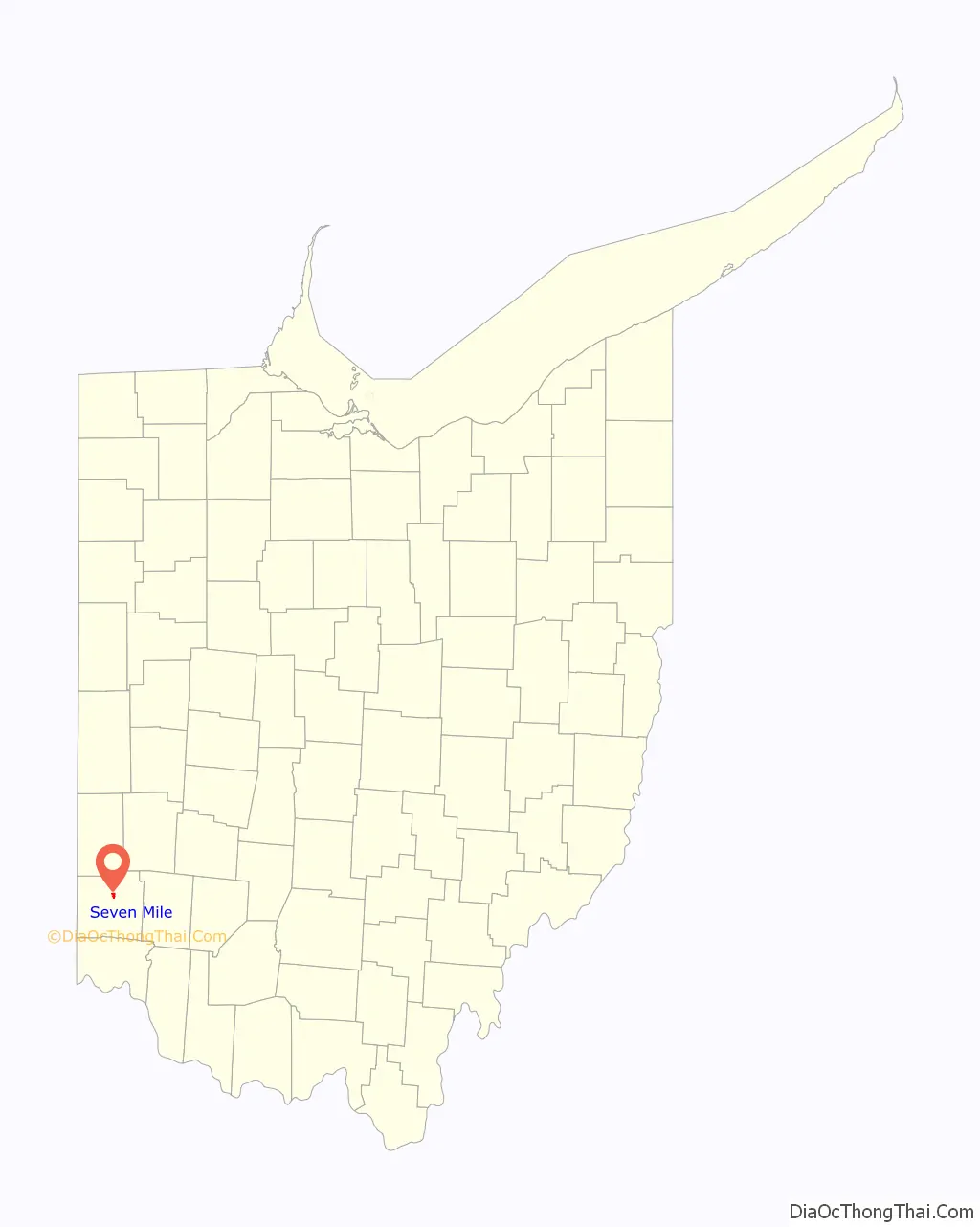
Seven Mile location map. Where is Seven Mile village?
History
230 years ago, On October 6, 1791, 2,200 troops marched to the area and encamped in the bottom on the east side of the creek. The area was then called Seven Mile after the creek name. The Indian name for Seven Mile Creek was Watamaw, meaning shining water.
Seven Mile was laid out on a turnpike in 1841. It took its name from nearby Sevenmile Creek. Seven Mile was incorporated as a village in 1875.
In 1905, Seven Mile contained a hotel, a harness shop, a tin shop, meat store, and a mill. The village was spared during the Great Dayton Flood due to the elevated railroad grade separating it from Sevenmile Creek.
At the turn of the 20th century, the village celebrated a peculiar type of parade called the “Rag’n Fads” where all the children dressed up in the most tattered clothes they owned, according to the April 6, 1901, issue of Leslie’s Weekly.
After a 2016 Ohio law legalized marijuana for medicinal uses to treat 21 ailments, including cancer, traumatic brain injury, post-traumatic stress disorder or chronic pain, Seven Mile was chosen as a site for one of only two dispensary locations within Butler County. The location was chosen because of its proximity to Ohio 127 and it is centrally located within a region that includes Butler, Darke and Preble counties. The dispensary opened October 24, 2019.
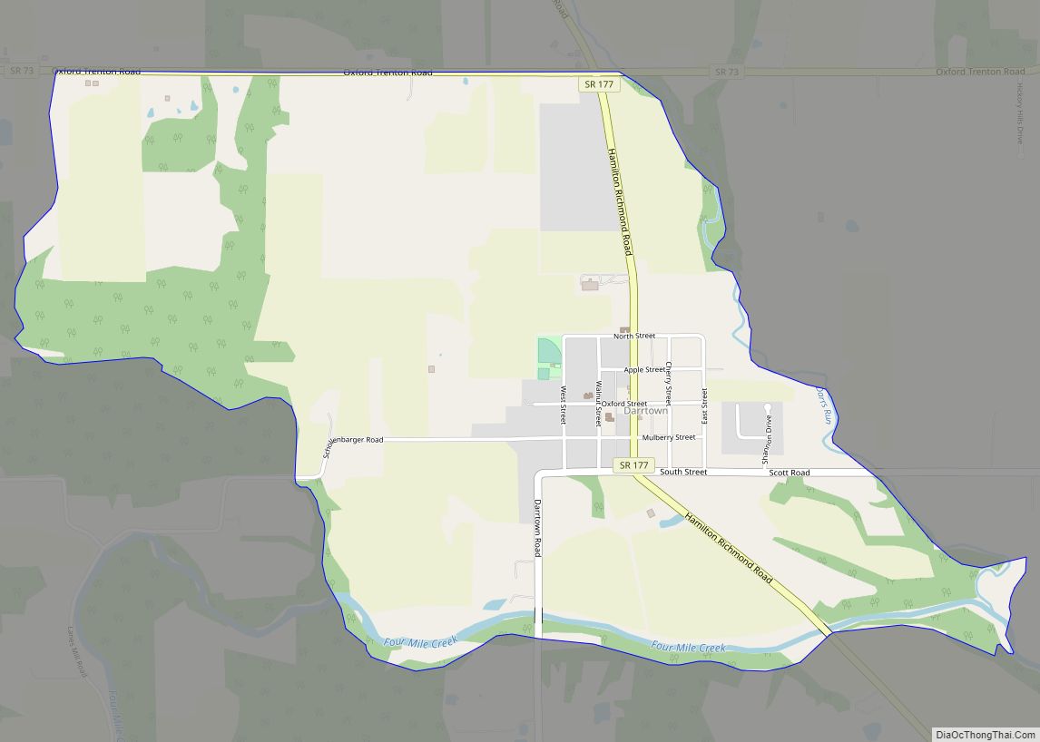
Seven Mile Road Map
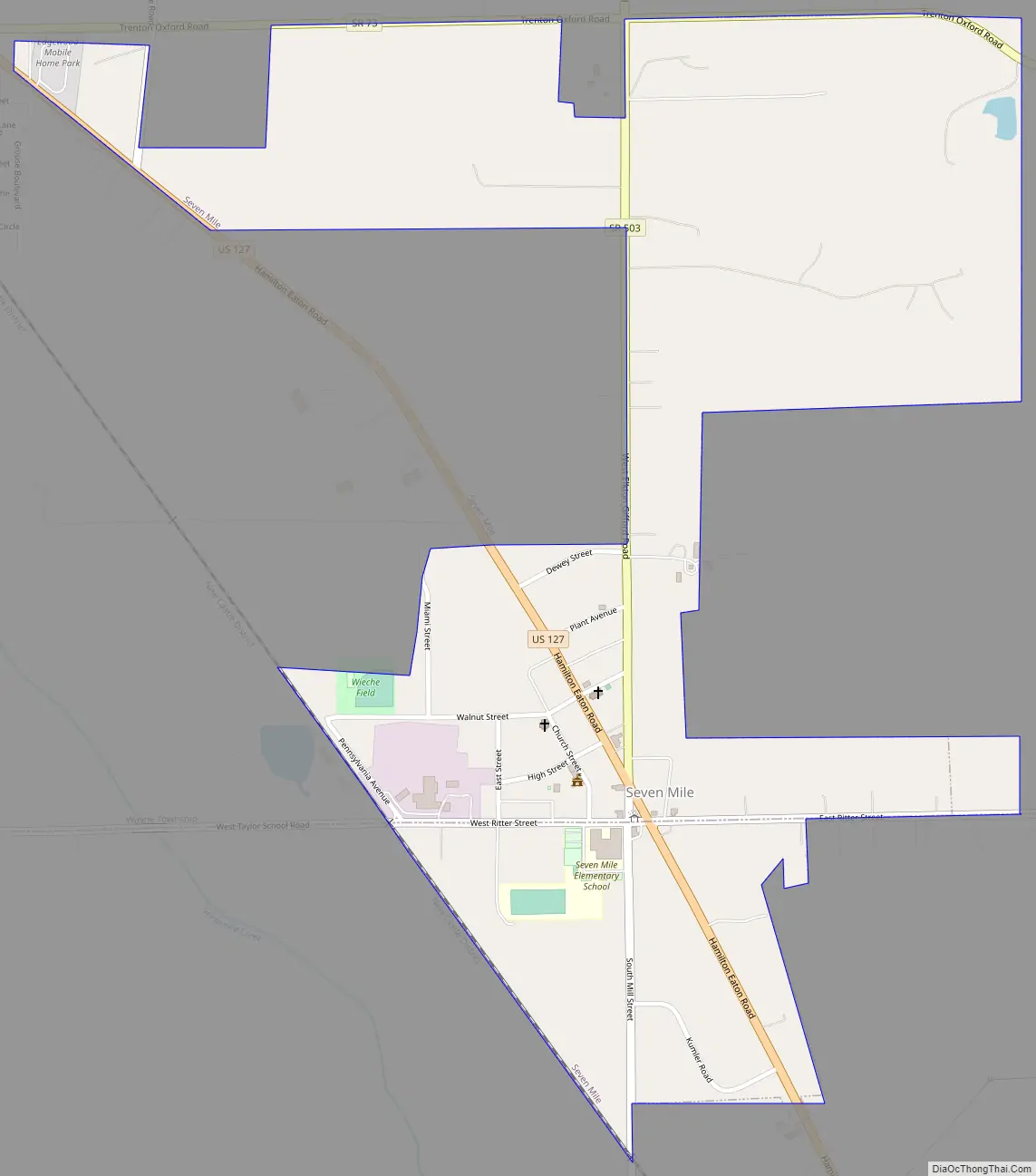
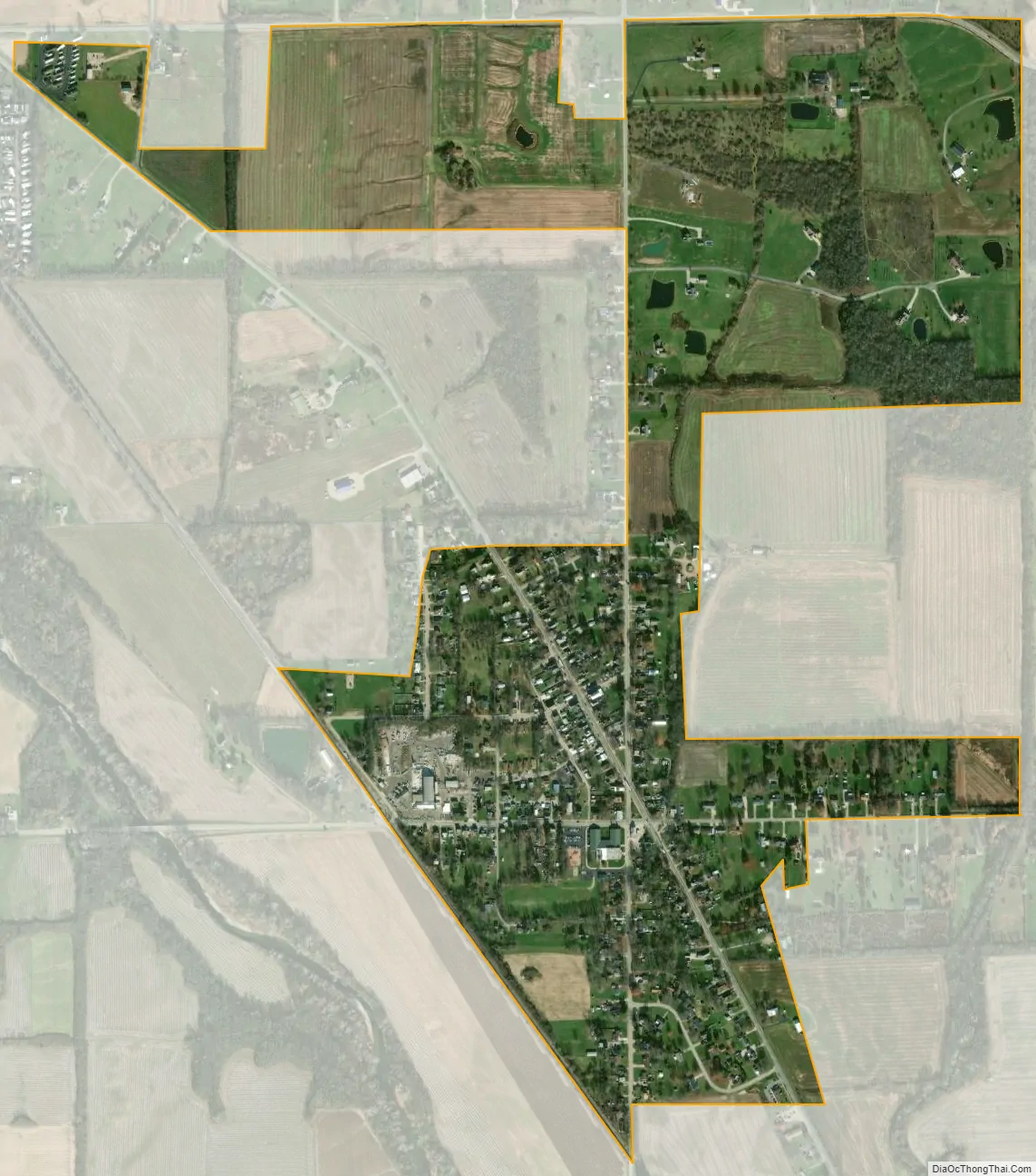
Seven Mile city Satellite Map
Geography
Seven Mile is located at 39°28′56″N 84°33′13″W / 39.48222°N 84.55361°W / 39.48222; -84.55361 (39.482356, -84.553544).
According to the United States Census Bureau, the village has a total area of 0.72 square miles (1.86 km), all land.
See also
Map of Ohio State and its subdivision:- Adams
- Allen
- Ashland
- Ashtabula
- Athens
- Auglaize
- Belmont
- Brown
- Butler
- Carroll
- Champaign
- Clark
- Clermont
- Clinton
- Columbiana
- Coshocton
- Crawford
- Cuyahoga
- Darke
- Defiance
- Delaware
- Erie
- Fairfield
- Fayette
- Franklin
- Fulton
- Gallia
- Geauga
- Greene
- Guernsey
- Hamilton
- Hancock
- Hardin
- Harrison
- Henry
- Highland
- Hocking
- Holmes
- Huron
- Jackson
- Jefferson
- Knox
- Lake
- Lake Erie
- Lawrence
- Licking
- Logan
- Lorain
- Lucas
- Madison
- Mahoning
- Marion
- Medina
- Meigs
- Mercer
- Miami
- Monroe
- Montgomery
- Morgan
- Morrow
- Muskingum
- Noble
- Ottawa
- Paulding
- Perry
- Pickaway
- Pike
- Portage
- Preble
- Putnam
- Richland
- Ross
- Sandusky
- Scioto
- Seneca
- Shelby
- Stark
- Summit
- Trumbull
- Tuscarawas
- Union
- Van Wert
- Vinton
- Warren
- Washington
- Wayne
- Williams
- Wood
- Wyandot
- Alabama
- Alaska
- Arizona
- Arkansas
- California
- Colorado
- Connecticut
- Delaware
- District of Columbia
- Florida
- Georgia
- Hawaii
- Idaho
- Illinois
- Indiana
- Iowa
- Kansas
- Kentucky
- Louisiana
- Maine
- Maryland
- Massachusetts
- Michigan
- Minnesota
- Mississippi
- Missouri
- Montana
- Nebraska
- Nevada
- New Hampshire
- New Jersey
- New Mexico
- New York
- North Carolina
- North Dakota
- Ohio
- Oklahoma
- Oregon
- Pennsylvania
- Rhode Island
- South Carolina
- South Dakota
- Tennessee
- Texas
- Utah
- Vermont
- Virginia
- Washington
- West Virginia
- Wisconsin
- Wyoming