Shelby is a city in Richland County in the U.S. state of Ohio, northwest of the city of Mansfield. It is part of the Mansfield, Ohio Metropolitan Statistical Area. The population was 9,317 as of the 2010 census.
| Name: | Shelby city |
|---|---|
| LSAD Code: | 25 |
| LSAD Description: | city (suffix) |
| State: | Ohio |
| County: | Richland County |
| Founded: | 1834 |
| Incorporated: | 1853 (village) |
| Elevation: | 1,102 ft (336 m) |
| Total Area: | 6.45 sq mi (16.72 km²) |
| Land Area: | 6.31 sq mi (16.35 km²) |
| Water Area: | 0.14 sq mi (0.37 km²) |
| Total Population: | 9,282 |
| Population Density: | 1,470.53/sq mi (567.75/km²) |
| ZIP code: | 44875 |
| Area code: | 419 |
| FIPS code: | 3972102 |
| GNISfeature ID: | 1065313 |
| Website: | shelbycity.oh.gov |
Online Interactive Map
Click on ![]() to view map in "full screen" mode.
to view map in "full screen" mode.
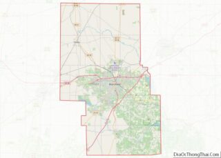
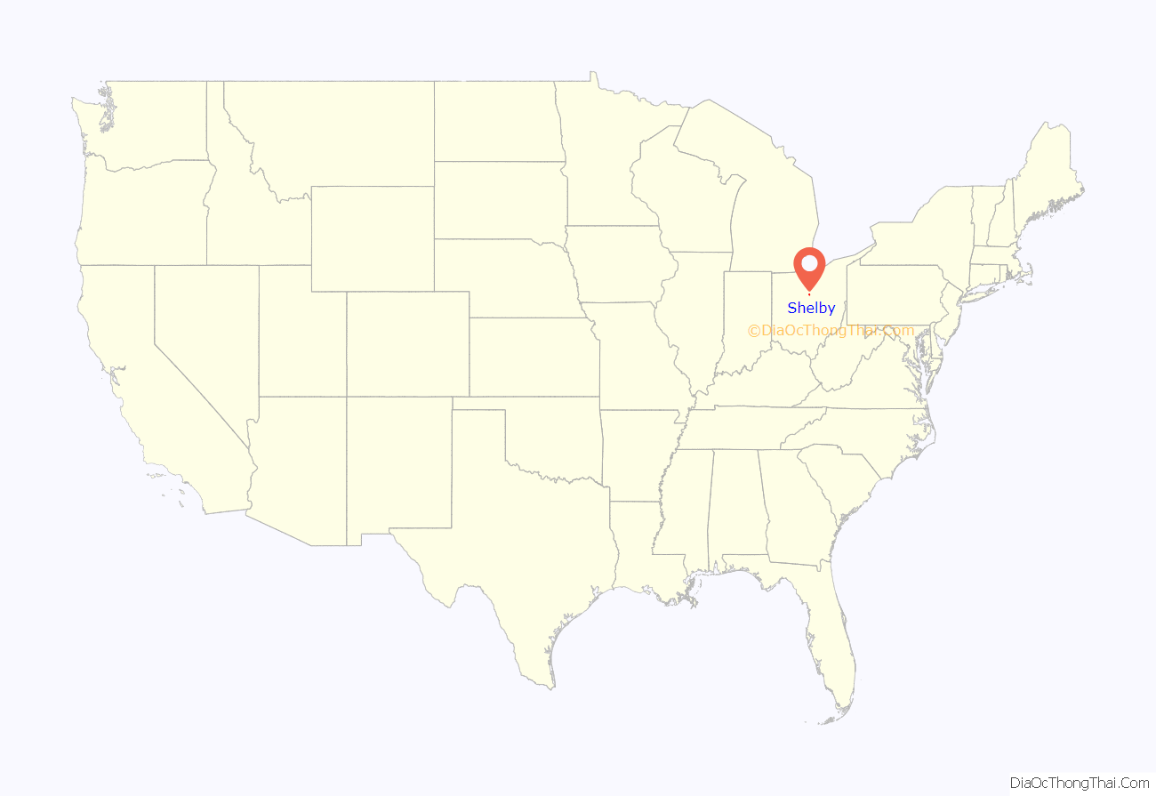
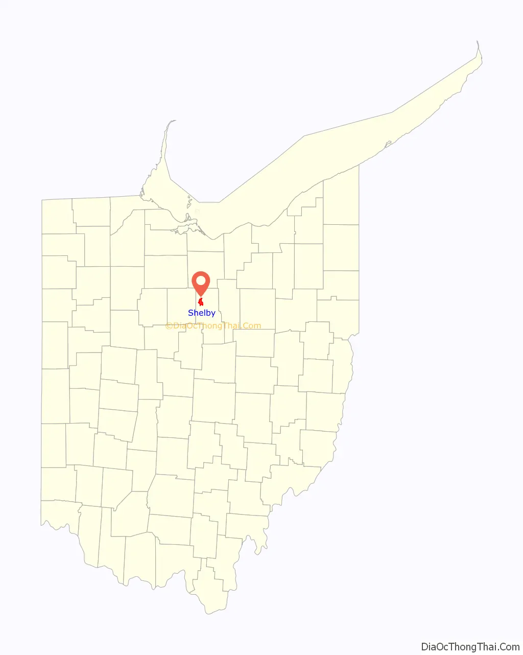
Shelby location map. Where is Shelby city?
History
Shelby was originally called Gamble’s Mills, and under the latter name was platted in 1834.
On April 14, 2019, Shelby was struck by a long tracked EF2 Tornado with winds of 120-125 MPH. At its peak, the tornado was a half mile wide. The tornado damaged more than half a dozen homes, as well as a car dealership on the south of side of Shelby.
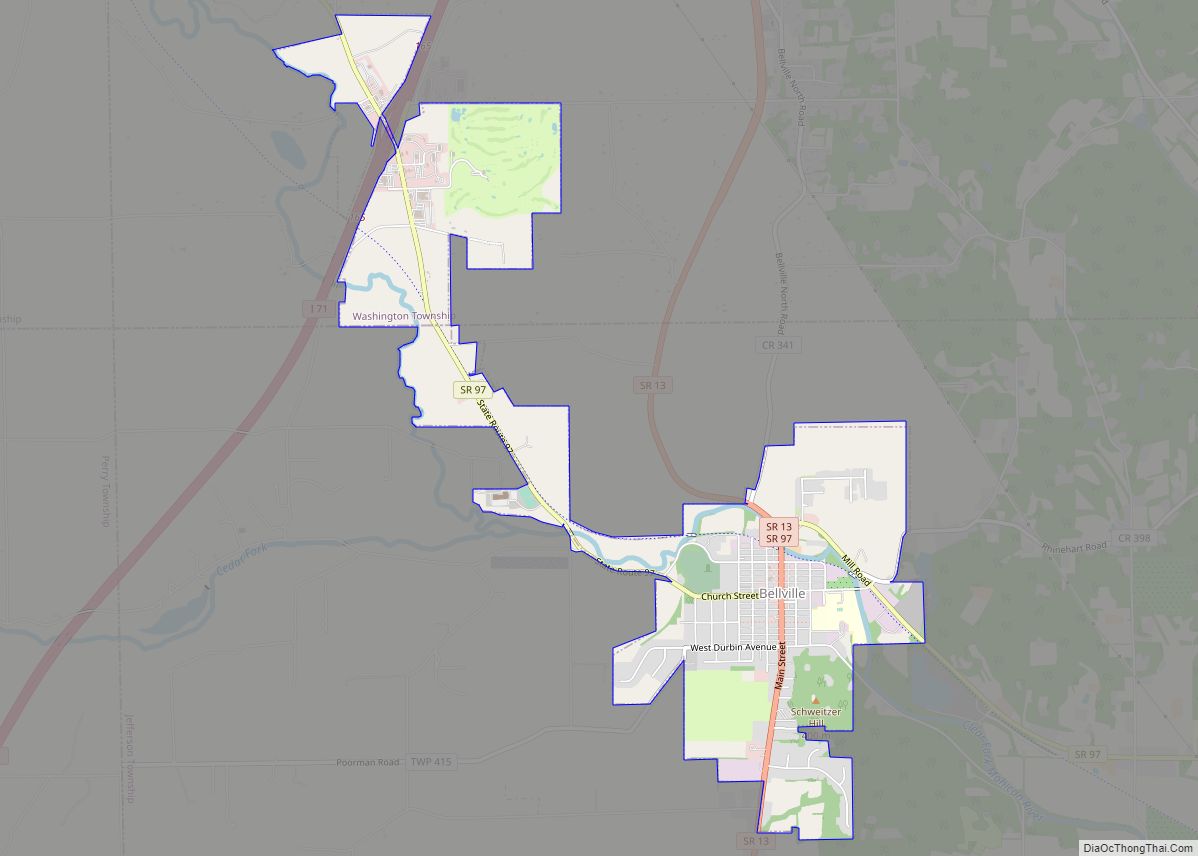
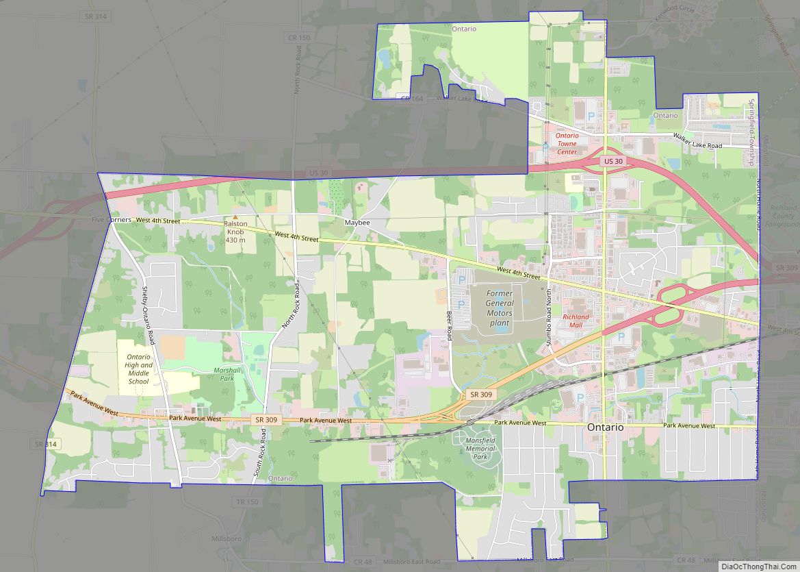
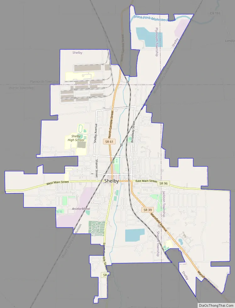
Shelby Road Map
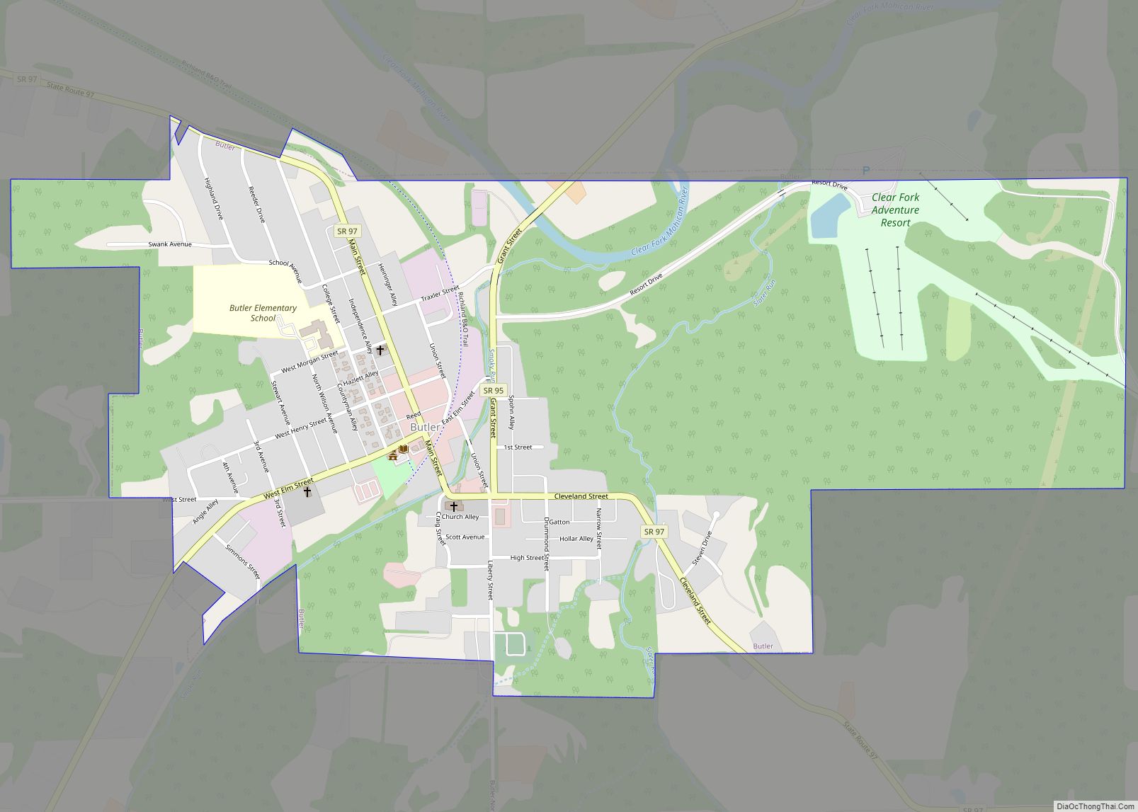
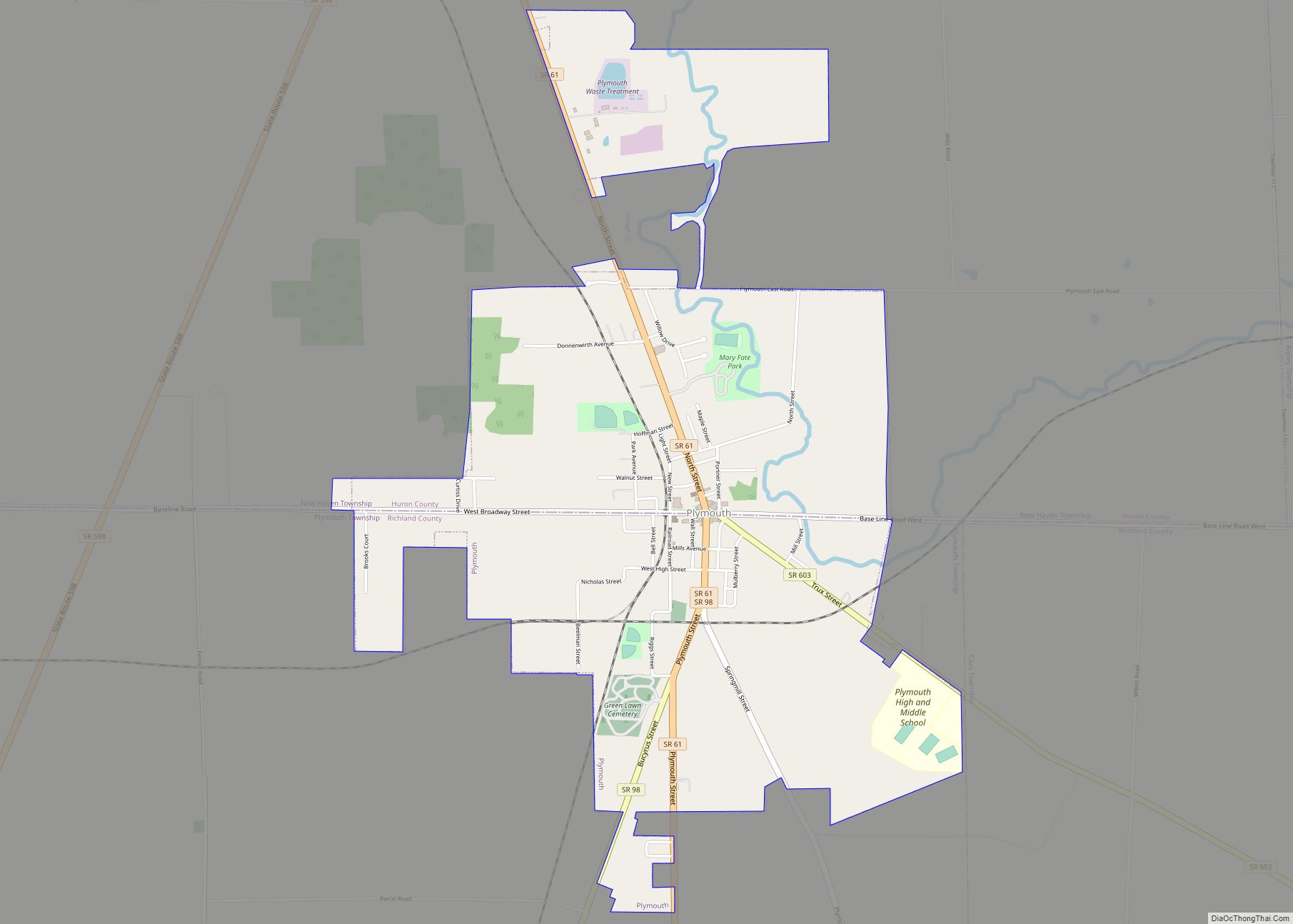
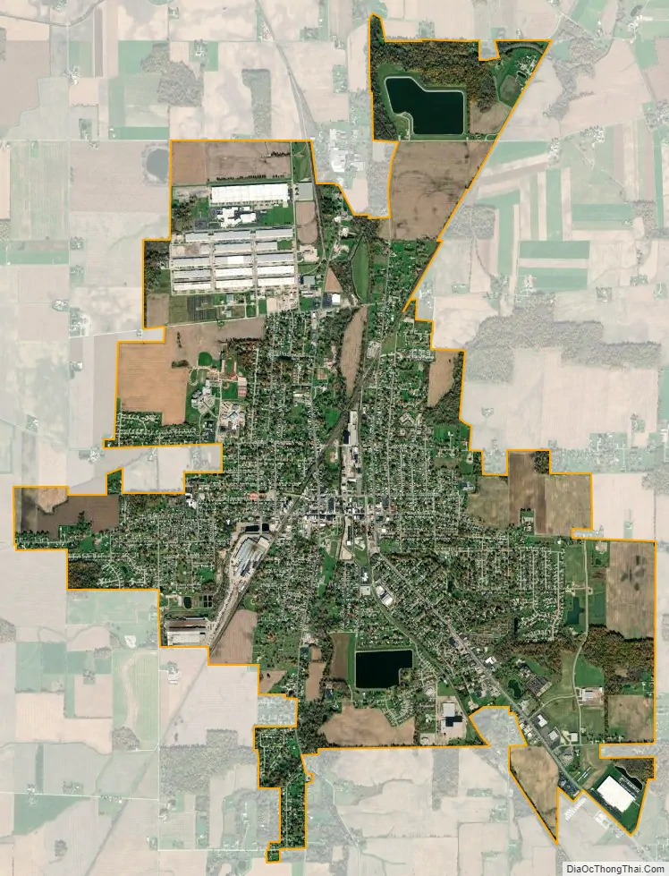
Shelby city Satellite Map
Geography
Shelby is located at 40°53′5″N 82°39′34″W / 40.88472°N 82.65944°W / 40.88472; -82.65944 (40.884645, -82.659529), along the Black Fork of the Mohican River.
According to the United States Census Bureau, the city has a total area of 6.49 square miles (16.81 km), of which 6.35 square miles (16.45 km) is land and 0.14 square miles (0.36 km) is water. Much of the water area consists of the Black Fork of the Mohican River, which flows through downtown; its location makes the city vulnerable to floods.
See also
Map of Ohio State and its subdivision:- Adams
- Allen
- Ashland
- Ashtabula
- Athens
- Auglaize
- Belmont
- Brown
- Butler
- Carroll
- Champaign
- Clark
- Clermont
- Clinton
- Columbiana
- Coshocton
- Crawford
- Cuyahoga
- Darke
- Defiance
- Delaware
- Erie
- Fairfield
- Fayette
- Franklin
- Fulton
- Gallia
- Geauga
- Greene
- Guernsey
- Hamilton
- Hancock
- Hardin
- Harrison
- Henry
- Highland
- Hocking
- Holmes
- Huron
- Jackson
- Jefferson
- Knox
- Lake
- Lake Erie
- Lawrence
- Licking
- Logan
- Lorain
- Lucas
- Madison
- Mahoning
- Marion
- Medina
- Meigs
- Mercer
- Miami
- Monroe
- Montgomery
- Morgan
- Morrow
- Muskingum
- Noble
- Ottawa
- Paulding
- Perry
- Pickaway
- Pike
- Portage
- Preble
- Putnam
- Richland
- Ross
- Sandusky
- Scioto
- Seneca
- Shelby
- Stark
- Summit
- Trumbull
- Tuscarawas
- Union
- Van Wert
- Vinton
- Warren
- Washington
- Wayne
- Williams
- Wood
- Wyandot
- Alabama
- Alaska
- Arizona
- Arkansas
- California
- Colorado
- Connecticut
- Delaware
- District of Columbia
- Florida
- Georgia
- Hawaii
- Idaho
- Illinois
- Indiana
- Iowa
- Kansas
- Kentucky
- Louisiana
- Maine
- Maryland
- Massachusetts
- Michigan
- Minnesota
- Mississippi
- Missouri
- Montana
- Nebraska
- Nevada
- New Hampshire
- New Jersey
- New Mexico
- New York
- North Carolina
- North Dakota
- Ohio
- Oklahoma
- Oregon
- Pennsylvania
- Rhode Island
- South Carolina
- South Dakota
- Tennessee
- Texas
- Utah
- Vermont
- Virginia
- Washington
- West Virginia
- Wisconsin
- Wyoming