Somerville is a census-designated place (CDP) and former village in Milford Township, Butler County, Ohio, United States. The population was 281 at the 2010 census.
| Name: | Somerville CDP |
|---|---|
| LSAD Code: | 57 |
| LSAD Description: | CDP (suffix) |
| State: | Ohio |
| County: | Butler County |
| Incorporated: | 1832 |
| Elevation: | 771 ft (235 m) |
| Total Area: | 0.27 sq mi (0.69 km²) |
| Land Area: | 0.26 sq mi (0.68 km²) |
| Water Area: | 0.00 sq mi (0.01 km²) |
| Total Population: | 258 |
| Population Density: | 977.27/sq mi (377.52/km²) |
| ZIP code: | 45064 |
| Area code: | 513 |
| FIPS code: | 3972998 |
| GNISfeature ID: | 1065345 |
Online Interactive Map
Click on ![]() to view map in "full screen" mode.
to view map in "full screen" mode.
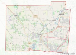
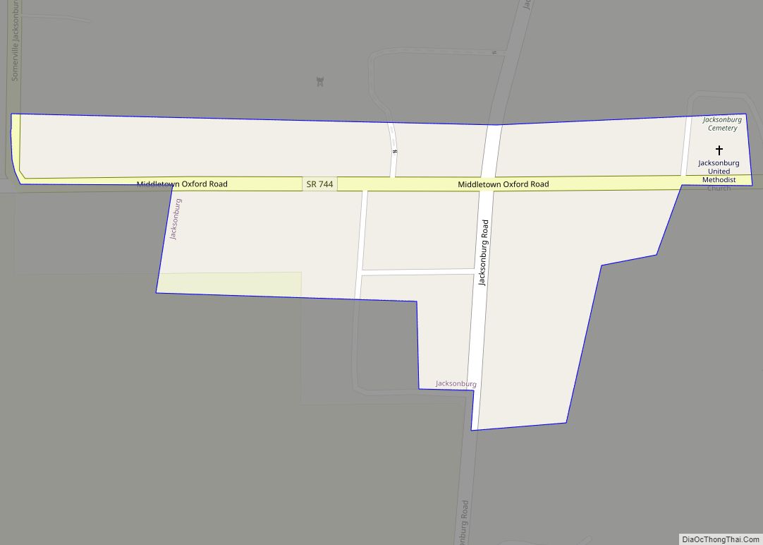
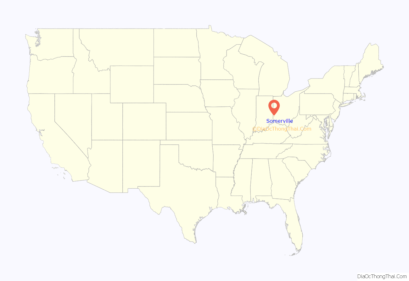
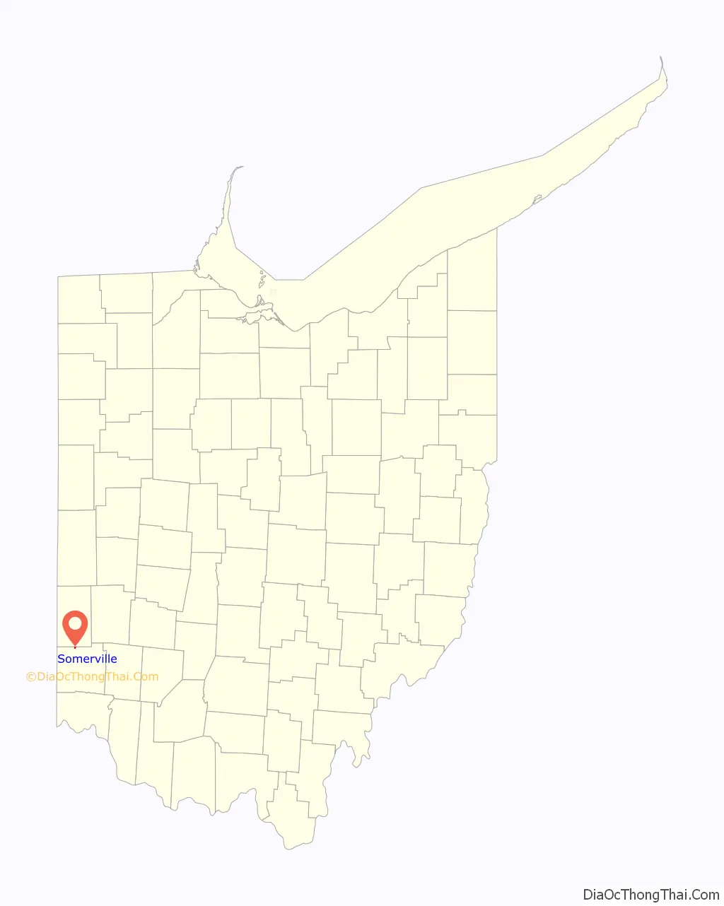
Somerville location map. Where is Somerville CDP?
History
Somerville was incorporated as a village in 1832. On March 15, 2016, Somerville residents voted 52% to 48% to dissolve the village into Milford Township, after its entire council faced term limits or resigned.
Since dissolution of the village, Milford Twp. Has assumed the majority of public services. Milford Twp. Department of Public Works based out of nearby Collinsville provides a majority of these public services. The Milford Twp. Fire Department took control and operations of the Somerville Fire Department Station 191 and has folded it into the department, operating it as Station 163. EMS service is provided by Seven Mile Fire Department and Life Squad based out of Station 171 along with most of east Milford Twp. Butler County Sheriff’s Office provides law enforcement to the community.
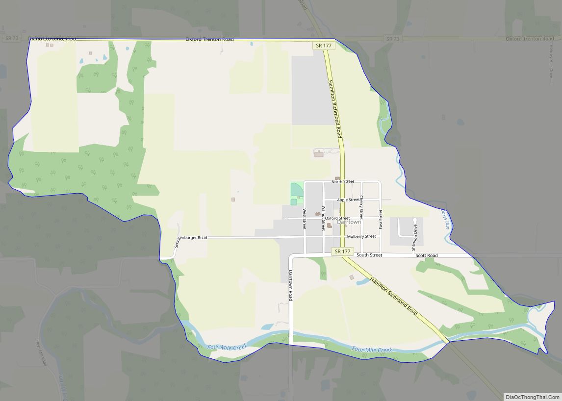
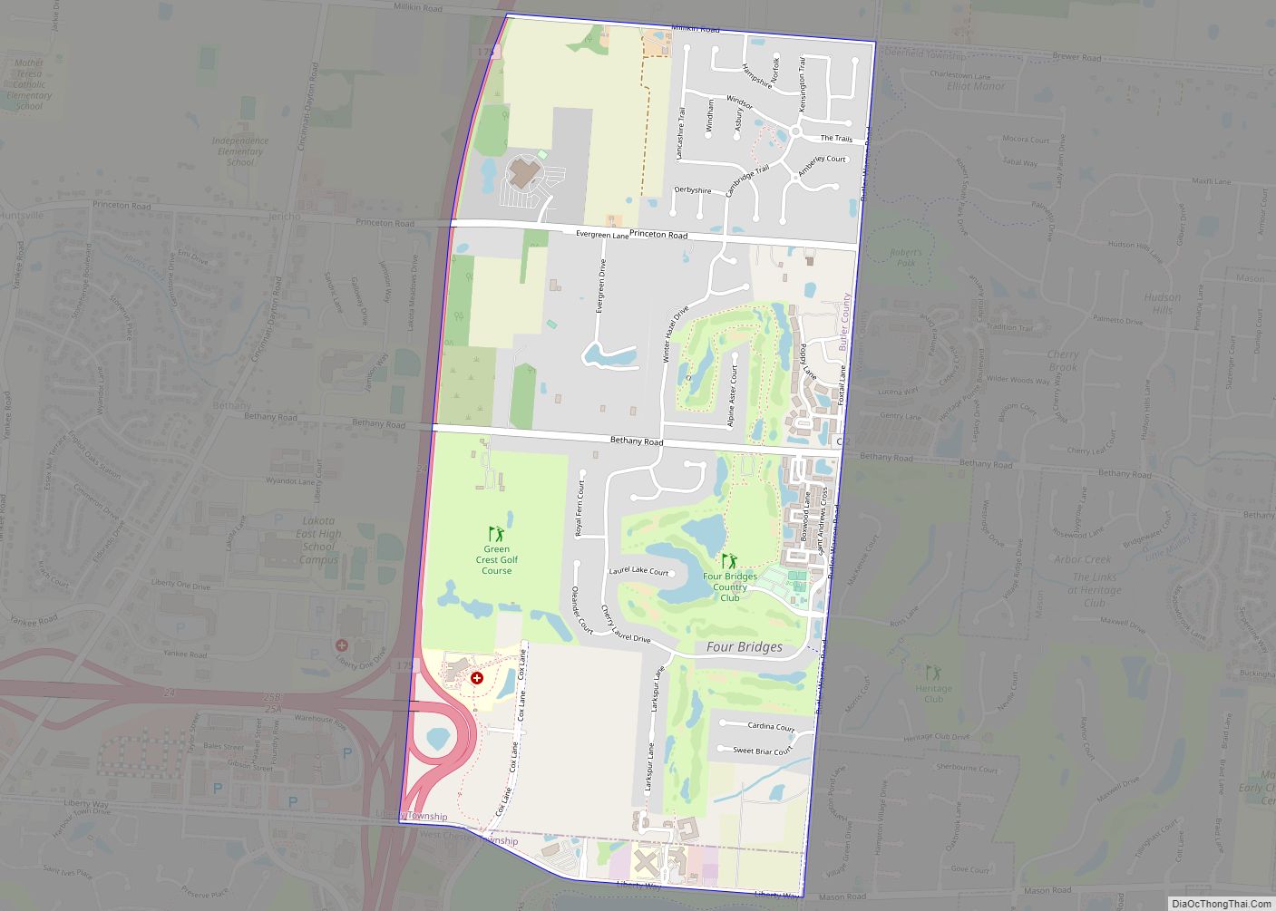
Somerville Road Map
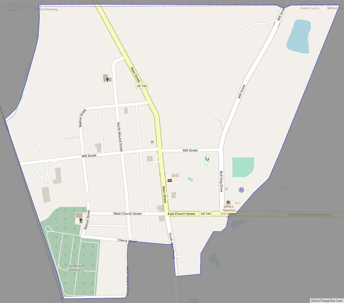
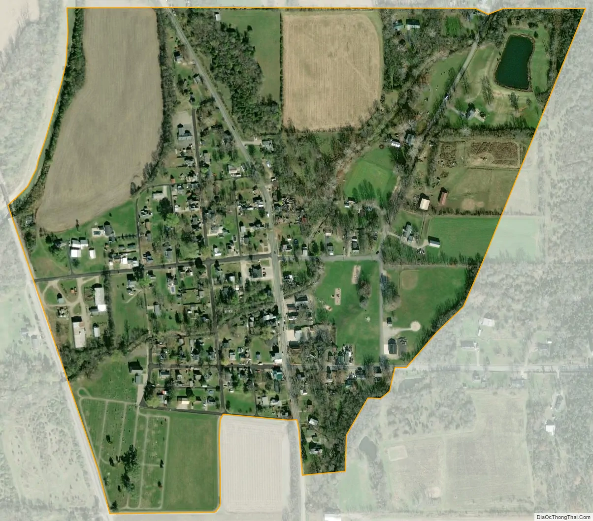
Somerville city Satellite Map
Geography
Somerville is located at 39°33′43″N 84°38′17″W / 39.56194°N 84.63806°W / 39.56194; -84.63806 (39.562003, -84.637949).
According to the United States Census Bureau, the village had a total area of 0.25 square miles (0.65 km), all land.
See also
Map of Ohio State and its subdivision:- Adams
- Allen
- Ashland
- Ashtabula
- Athens
- Auglaize
- Belmont
- Brown
- Butler
- Carroll
- Champaign
- Clark
- Clermont
- Clinton
- Columbiana
- Coshocton
- Crawford
- Cuyahoga
- Darke
- Defiance
- Delaware
- Erie
- Fairfield
- Fayette
- Franklin
- Fulton
- Gallia
- Geauga
- Greene
- Guernsey
- Hamilton
- Hancock
- Hardin
- Harrison
- Henry
- Highland
- Hocking
- Holmes
- Huron
- Jackson
- Jefferson
- Knox
- Lake
- Lake Erie
- Lawrence
- Licking
- Logan
- Lorain
- Lucas
- Madison
- Mahoning
- Marion
- Medina
- Meigs
- Mercer
- Miami
- Monroe
- Montgomery
- Morgan
- Morrow
- Muskingum
- Noble
- Ottawa
- Paulding
- Perry
- Pickaway
- Pike
- Portage
- Preble
- Putnam
- Richland
- Ross
- Sandusky
- Scioto
- Seneca
- Shelby
- Stark
- Summit
- Trumbull
- Tuscarawas
- Union
- Van Wert
- Vinton
- Warren
- Washington
- Wayne
- Williams
- Wood
- Wyandot
- Alabama
- Alaska
- Arizona
- Arkansas
- California
- Colorado
- Connecticut
- Delaware
- District of Columbia
- Florida
- Georgia
- Hawaii
- Idaho
- Illinois
- Indiana
- Iowa
- Kansas
- Kentucky
- Louisiana
- Maine
- Maryland
- Massachusetts
- Michigan
- Minnesota
- Mississippi
- Missouri
- Montana
- Nebraska
- Nevada
- New Hampshire
- New Jersey
- New Mexico
- New York
- North Carolina
- North Dakota
- Ohio
- Oklahoma
- Oregon
- Pennsylvania
- Rhode Island
- South Carolina
- South Dakota
- Tennessee
- Texas
- Utah
- Vermont
- Virginia
- Washington
- West Virginia
- Wisconsin
- Wyoming