South Salem is a village in Ross County, Ohio, United States. The population was 204 at the 2010 census.
| Name: | South Salem village |
|---|---|
| LSAD Code: | 47 |
| LSAD Description: | village (suffix) |
| State: | Ohio |
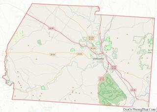
| County: | Ross County |
| Elevation: | 919 ft (280 m) |
| Total Area: | 0.18 sq mi (0.47 km²) |
| Land Area: | 0.18 sq mi (0.47 km²) |
| Water Area: | 0.00 sq mi (0.00 km²) |
| Total Population: | 219 |
| Population Density: | 1,216.67/sq mi (469.94/km²) |
| ZIP code: | 45681 |
| Area code: | 740 |
| FIPS code: | 3973698 |
| GNISfeature ID: | 1065354 |
Online Interactive Map
Click on ![]() to view map in "full screen" mode.
to view map in "full screen" mode.
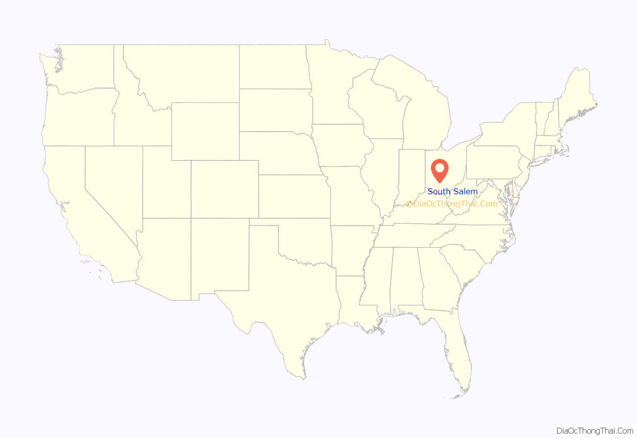
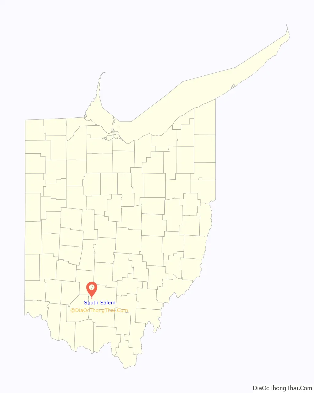
South Salem location map. Where is South Salem village?
History
In 1842, local Presbyterian minister Hugh Stewart Fullerton orchestrated the establishment of a school in southwestern Ross County. Known as the “Salem Academy,” this school became the foundation of the present village: landowner John Sample platted South Salem in 1846 in order better to serve the students and teachers of the school. After two years of rapid growth, the village reached the point that it could easily serve the needs of the school, and growth ceased. Although South Salem incorporated in the 1870s, few other changes occurred during the late years of the nineteenth century. In 1917, its population was deemed to be between 350 and 400 residents, a size that had remained consistent since the 1850s. The Salem Academy (by then known as the “South Salem Academy”) closed in 1907 due to competition from other schools, and since that time, the village has declined in population.
Supposed royalty
According to legend, Mary A. Harriett was born on March 12, 1818, in London, England, the daughter of Queen Victoria’s father, Prince Edward, Duke of Kent and Strathearn. There is no proof of this relationship as autobiographies of Prince Edward fail to mention this fact. Edward, the fourth son of King George III, married Victoria’s mother, Princess Victoria of Saxe-Coburg-Saalfeld on May 29, 1818. Their daughter Alexandrina Victoria was born on May 24, 1819. Mary was primed for the role of queen, but lost all hope of obtaining the throne when she married a commoner, Blyth Jagward Morter. The couple received a marriage settlement of around 3,000 British pounds. However, with the dowry, Mary was ostracized from her royal family because marriage to a commoner was a serious offense.
The Morter family then decided to give up their unhappy life in England and migrate to the United States in 1850. Morter went ahead to build a home and set himself up in business. When he was ready to send for Mary and their children, he wrote them saying he would meet them in New York City. However he heard nothing from his wife and concern for his family’s welfare took him back to England. She apparently had received the letter since she was crossing the Atlantic Ocean at the same time Morter was returning for her. When she and the children arrived in New York City and found no one to meet them, fear and poverty set in. After what must have seemed an endless few months, Morter arrived back in the United States.
The family then traveled by canal and stagecoach to South Salem in 1851. The family moved into their home but it was not yet completed. The windows were still not in place and the plaster was wet. Mary, her condition probably weakened by her journey to Ohio, developed a cold, then tuberculosis, and died shortly afterwards.
Morter carved his wife’s tombstone and buried her in the South Salem Cemetery. Her tombstone reads “Mary A. wife of B. J. Morter, native of England, Died April 16, 1852, aged 34 years, 1 mo. 4 days.” Then at the very bottom of the tombstone is the single word “Think”. When Blyth Morter carved the word “Think” on his wife’s tombstone, perhaps he knew that future generations would stop and look at the grave and would indeed Think.
Gravestone of Mary A. Morter
Closeup of gravestone
The word Think at bottom of gravestone
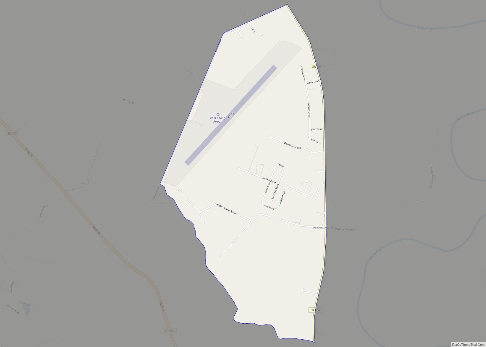
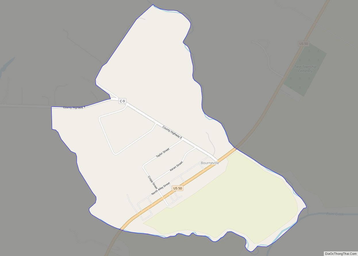
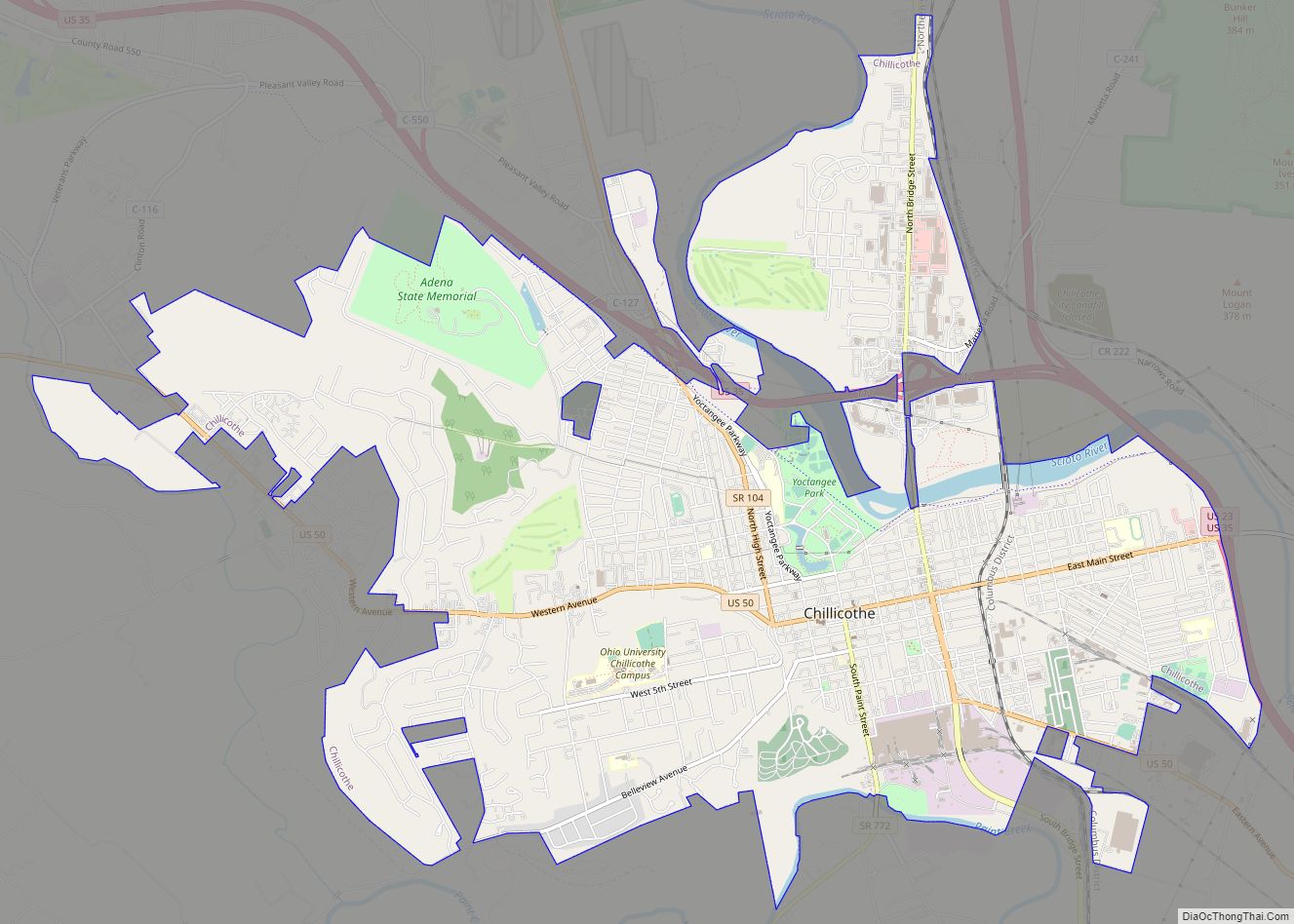
South Salem Road Map
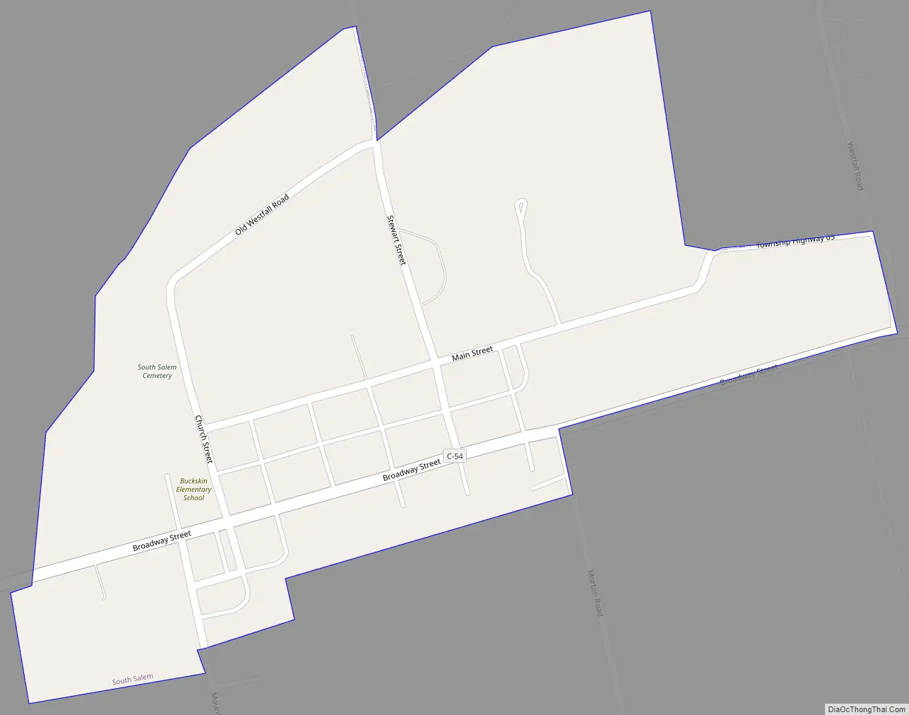
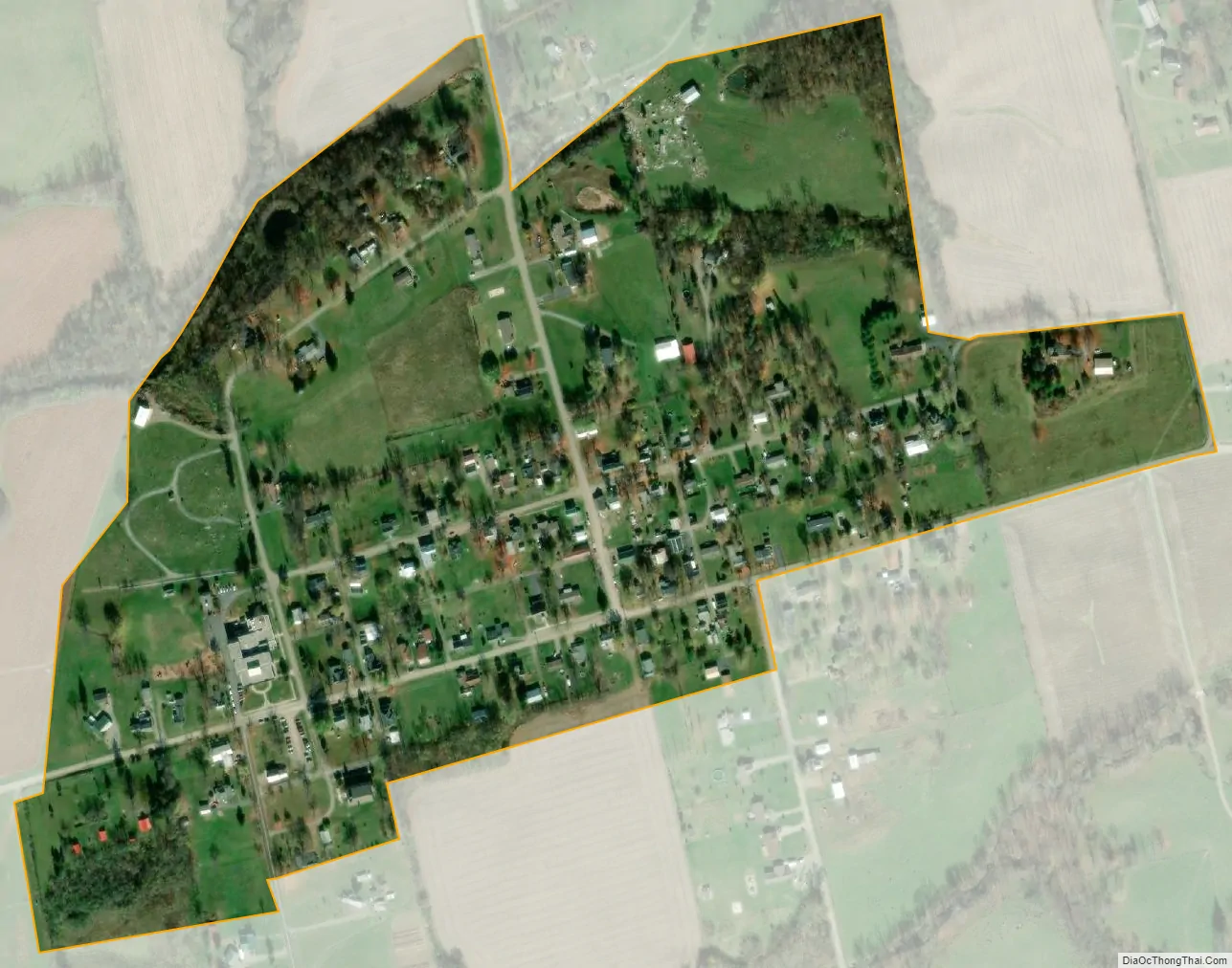
South Salem city Satellite Map
Geography
South Salem is located at 39°20′11″N 83°18′27″W / 39.33639°N 83.30750°W / 39.33639; -83.30750 (39.336418, -83.307392).
According to the United States Census Bureau, the village has a total area of 0.21 square miles (0.54 km), all land.
See also
Map of Ohio State and its subdivision:- Adams
- Allen
- Ashland
- Ashtabula
- Athens
- Auglaize
- Belmont
- Brown
- Butler
- Carroll
- Champaign
- Clark
- Clermont
- Clinton
- Columbiana
- Coshocton
- Crawford
- Cuyahoga
- Darke
- Defiance
- Delaware
- Erie
- Fairfield
- Fayette
- Franklin
- Fulton
- Gallia
- Geauga
- Greene
- Guernsey
- Hamilton
- Hancock
- Hardin
- Harrison
- Henry
- Highland
- Hocking
- Holmes
- Huron
- Jackson
- Jefferson
- Knox
- Lake
- Lake Erie
- Lawrence
- Licking
- Logan
- Lorain
- Lucas
- Madison
- Mahoning
- Marion
- Medina
- Meigs
- Mercer
- Miami
- Monroe
- Montgomery
- Morgan
- Morrow
- Muskingum
- Noble
- Ottawa
- Paulding
- Perry
- Pickaway
- Pike
- Portage
- Preble
- Putnam
- Richland
- Ross
- Sandusky
- Scioto
- Seneca
- Shelby
- Stark
- Summit
- Trumbull
- Tuscarawas
- Union
- Van Wert
- Vinton
- Warren
- Washington
- Wayne
- Williams
- Wood
- Wyandot
- Alabama
- Alaska
- Arizona
- Arkansas
- California
- Colorado
- Connecticut
- Delaware
- District of Columbia
- Florida
- Georgia
- Hawaii
- Idaho
- Illinois
- Indiana
- Iowa
- Kansas
- Kentucky
- Louisiana
- Maine
- Maryland
- Massachusetts
- Michigan
- Minnesota
- Mississippi
- Missouri
- Montana
- Nebraska
- Nevada
- New Hampshire
- New Jersey
- New Mexico
- New York
- North Carolina
- North Dakota
- Ohio
- Oklahoma
- Oregon
- Pennsylvania
- Rhode Island
- South Carolina
- South Dakota
- Tennessee
- Texas
- Utah
- Vermont
- Virginia
- Washington
- West Virginia
- Wisconsin
- Wyoming