St. Clairsville is a city in and the county seat of Belmont County, Ohio, United States. The population was 5,096 at the 2020 census. It is part of the Wheeling metropolitan area.
| Name: | St. Clairsville city |
|---|---|
| LSAD Code: | 25 |
| LSAD Description: | city (suffix) |
| State: | Ohio |
| County: | Belmont County |
| Elevation: | 1,273 ft (388 m) |
| Total Area: | 2.44 sq mi (6.32 km²) |
| Land Area: | 2.42 sq mi (6.27 km²) |
| Water Area: | 0.02 sq mi (0.05 km²) |
| Total Population: | 5,096 |
| Population Density: | 2,104.05/sq mi (812.24/km²) |
| ZIP code: | 43950 |
| FIPS code: | 3969526 |
| GNISfeature ID: | 1082182 |
| Website: | http://www.stclairsville.com/ |
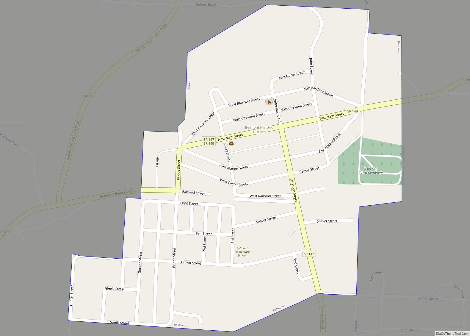
Online Interactive Map
Click on ![]() to view map in "full screen" mode.
to view map in "full screen" mode.
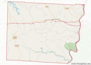
St. Clairsville location map. Where is St. Clairsville city?


History
The seat of justice of Belmont County was originally known as Newellstown, and under the latter name was laid out in the late 1790s by David Newell. The name of the settlement was soon changed to St. Clairsville in honor of Northwest Territory Governor and Revolutionary War Major-General Arthur St. Clair.
In 1833, St. Clairsville contained a brick courthouse and jail, five houses of worship, seventeen or eighteen mercantile stores, several groceries, a drug store, a book store, five taverns, three printing offices, four or five physicians, and fourteen or fifteen lawyers, and a large number of mechanics’ shops. CBS’s well known Charles Kuralt’s program…”On the Road With Charles Kuralt” drove through Saint Clairsville for a TV segment, in the 1960s.
Belmont County was also the venue for the world-famous Jamboree in the Hills outdoor country music festival. In 1986, the syndicated Paul Harvey show featured a special election being held in Belmont County for purposes of Selecting a new official county seal and flag, created by then county resident Michael A Massa.
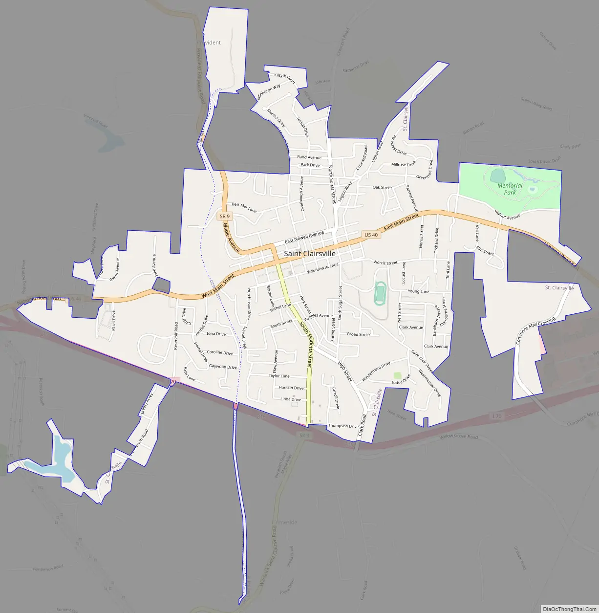
St. Clairsville Road Map
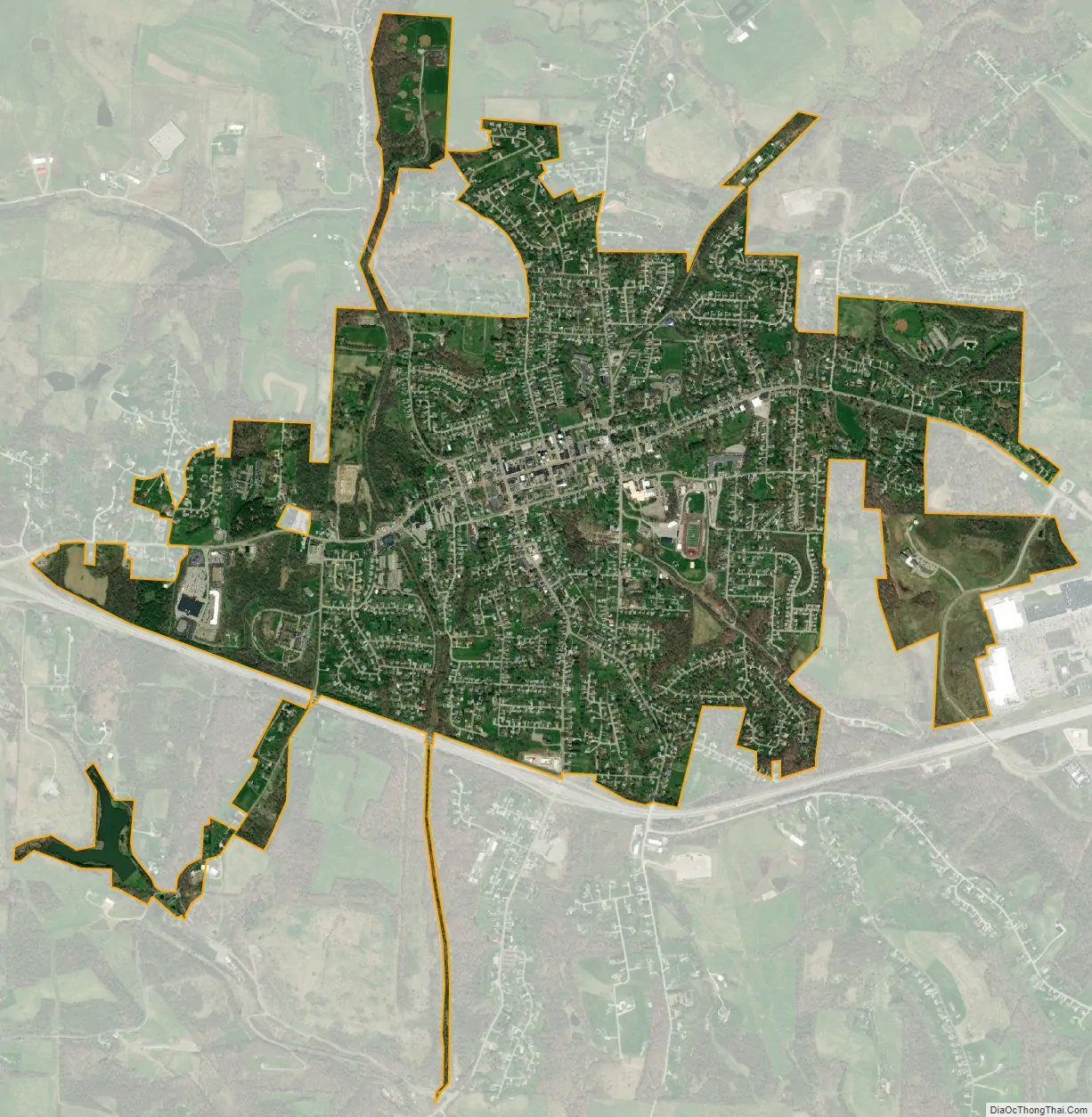
St. Clairsville city Satellite Map
Geography
St. Clairsville is located at 40°4′46″N 80°54′5″W / 40.07944°N 80.90139°W / 40.07944; -80.90139 (40.079379, -80.901274). According to the United States Census Bureau, the city has a total area of 2.44 square miles (6.32 km), of which 2.42 square miles (6.27 km) is land and 0.02 square miles (0.05 km) is water. The Official Belmont County Seal, designed by county native Michael A. Massa, features 13 stars, denoting that the county was the 13th parcel to have originally been incorporated into what was the US Northwest Territory.
See also
Map of Ohio State and its subdivision:- Adams
- Allen
- Ashland
- Ashtabula
- Athens
- Auglaize
- Belmont
- Brown
- Butler
- Carroll
- Champaign
- Clark
- Clermont
- Clinton
- Columbiana
- Coshocton
- Crawford
- Cuyahoga
- Darke
- Defiance
- Delaware
- Erie
- Fairfield
- Fayette
- Franklin
- Fulton
- Gallia
- Geauga
- Greene
- Guernsey
- Hamilton
- Hancock
- Hardin
- Harrison
- Henry
- Highland
- Hocking
- Holmes
- Huron
- Jackson
- Jefferson
- Knox
- Lake
- Lake Erie
- Lawrence
- Licking
- Logan
- Lorain
- Lucas
- Madison
- Mahoning
- Marion
- Medina
- Meigs
- Mercer
- Miami
- Monroe
- Montgomery
- Morgan
- Morrow
- Muskingum
- Noble
- Ottawa
- Paulding
- Perry
- Pickaway
- Pike
- Portage
- Preble
- Putnam
- Richland
- Ross
- Sandusky
- Scioto
- Seneca
- Shelby
- Stark
- Summit
- Trumbull
- Tuscarawas
- Union
- Van Wert
- Vinton
- Warren
- Washington
- Wayne
- Williams
- Wood
- Wyandot
- Alabama
- Alaska
- Arizona
- Arkansas
- California
- Colorado
- Connecticut
- Delaware
- District of Columbia
- Florida
- Georgia
- Hawaii
- Idaho
- Illinois
- Indiana
- Iowa
- Kansas
- Kentucky
- Louisiana
- Maine
- Maryland
- Massachusetts
- Michigan
- Minnesota
- Mississippi
- Missouri
- Montana
- Nebraska
- Nevada
- New Hampshire
- New Jersey
- New Mexico
- New York
- North Carolina
- North Dakota
- Ohio
- Oklahoma
- Oregon
- Pennsylvania
- Rhode Island
- South Carolina
- South Dakota
- Tennessee
- Texas
- Utah
- Vermont
- Virginia
- Washington
- West Virginia
- Wisconsin
- Wyoming