St. Henry is a village in Mercer County, Ohio, United States. The population was 2,596 at the 2020 census.
| Name: | St. Henry village |
|---|---|
| LSAD Code: | 47 |
| LSAD Description: | village (suffix) |
| State: | Ohio |
| County: | Mercer County |
| Elevation: | 971 ft (296 m) |
| Total Area: | 1.77 sq mi (4.59 km²) |
| Land Area: | 1.73 sq mi (4.47 km²) |
| Water Area: | 0.05 sq mi (0.12 km²) |
| Total Population: | 2,596 |
| Population Density: | 1,504.93/sq mi (581.06/km²) |
| Area code: | 419 |
| FIPS code: | 3969540 |
| GNISfeature ID: | 1057982 |
Online Interactive Map
Click on ![]() to view map in "full screen" mode.
to view map in "full screen" mode.
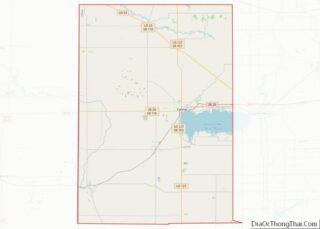
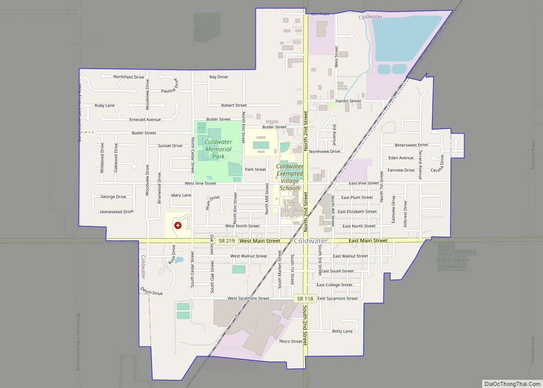
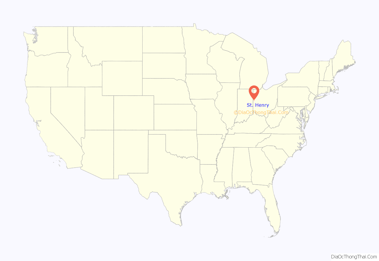
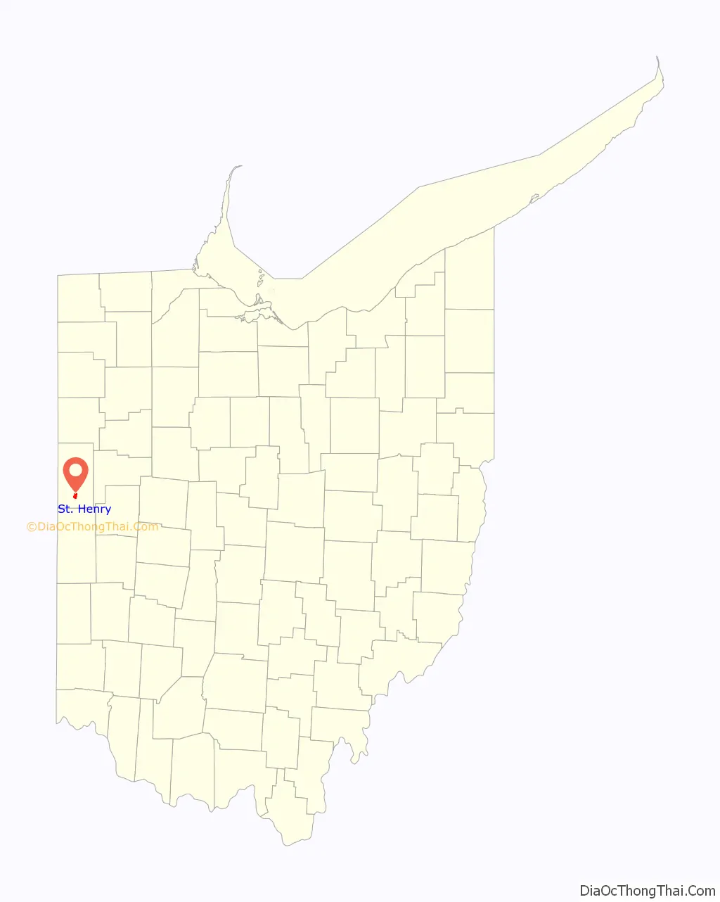
St. Henry location map. Where is St. Henry village?
History
St. Henry was laid out in 1837 by Johann Heinrich Römer (1805-1874). It laid in a tract of land sold to him by his brother Franz on July 7, 1837. The tract was surveyed on July 7, the town was platted on July 13, and the plat was recorded on July 15, the feast of St. Henry. At the center of the village is St. Henry’s Catholic Church. Completed in 1897, the church is listed on the National Register of Historic Places. A post office has been in operation at St. Henry since 1850. The village was incorporated in 1901.
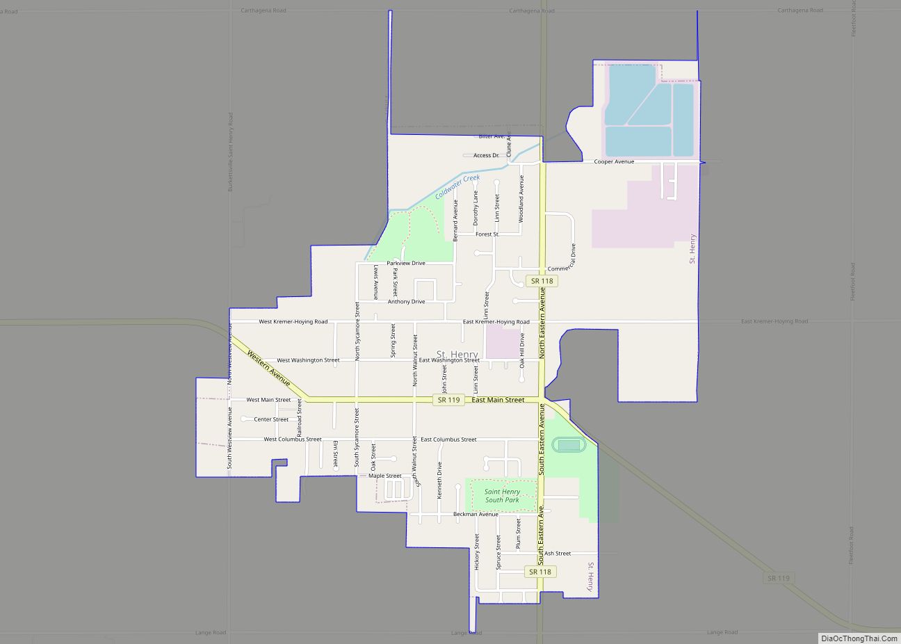
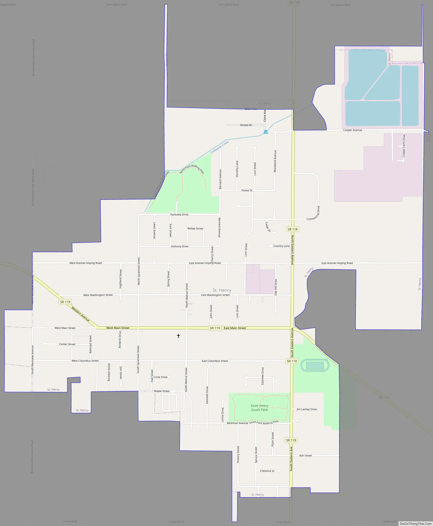
St. Henry Road Map
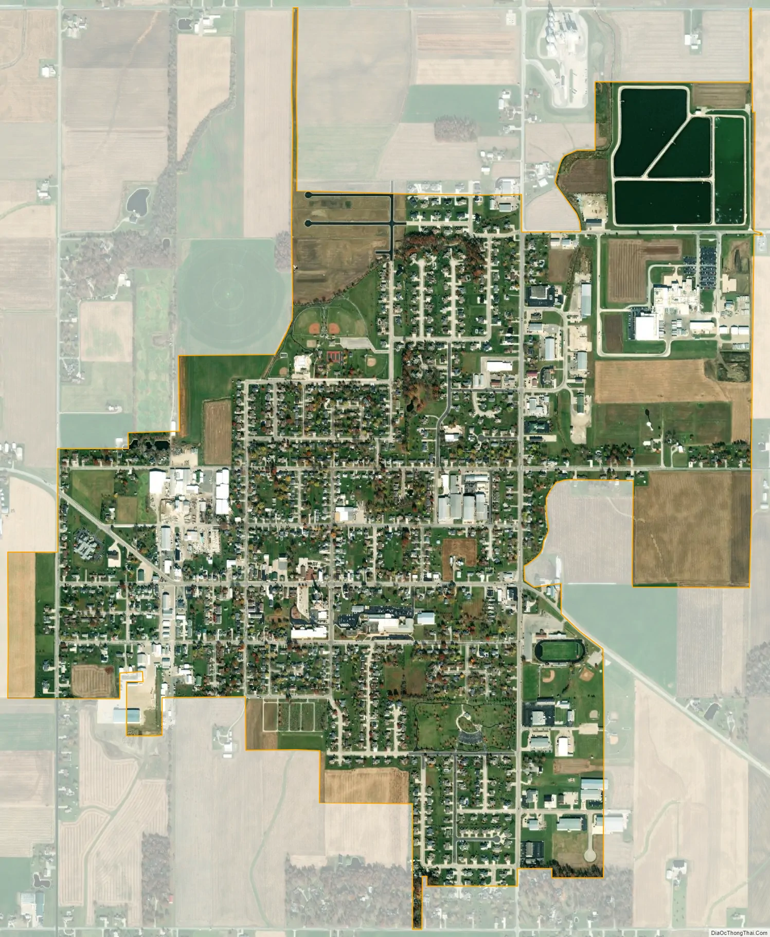
St. Henry city Satellite Map
Geography
St. Henry is located at 40°25′7″N 84°38′10″W / 40.41861°N 84.63611°W / 40.41861; -84.63611 (40.418715, -84.636054). The Wabash River also starts near the city.
According to the United States Census Bureau, the village has a total area of 1.65 square miles (4.27 km), of which 1.60 square miles (4.14 km) is land and 0.05 square miles (0.13 km) is water.
See also
Map of Ohio State and its subdivision:- Adams
- Allen
- Ashland
- Ashtabula
- Athens
- Auglaize
- Belmont
- Brown
- Butler
- Carroll
- Champaign
- Clark
- Clermont
- Clinton
- Columbiana
- Coshocton
- Crawford
- Cuyahoga
- Darke
- Defiance
- Delaware
- Erie
- Fairfield
- Fayette
- Franklin
- Fulton
- Gallia
- Geauga
- Greene
- Guernsey
- Hamilton
- Hancock
- Hardin
- Harrison
- Henry
- Highland
- Hocking
- Holmes
- Huron
- Jackson
- Jefferson
- Knox
- Lake
- Lake Erie
- Lawrence
- Licking
- Logan
- Lorain
- Lucas
- Madison
- Mahoning
- Marion
- Medina
- Meigs
- Mercer
- Miami
- Monroe
- Montgomery
- Morgan
- Morrow
- Muskingum
- Noble
- Ottawa
- Paulding
- Perry
- Pickaway
- Pike
- Portage
- Preble
- Putnam
- Richland
- Ross
- Sandusky
- Scioto
- Seneca
- Shelby
- Stark
- Summit
- Trumbull
- Tuscarawas
- Union
- Van Wert
- Vinton
- Warren
- Washington
- Wayne
- Williams
- Wood
- Wyandot
- Alabama
- Alaska
- Arizona
- Arkansas
- California
- Colorado
- Connecticut
- Delaware
- District of Columbia
- Florida
- Georgia
- Hawaii
- Idaho
- Illinois
- Indiana
- Iowa
- Kansas
- Kentucky
- Louisiana
- Maine
- Maryland
- Massachusetts
- Michigan
- Minnesota
- Mississippi
- Missouri
- Montana
- Nebraska
- Nevada
- New Hampshire
- New Jersey
- New Mexico
- New York
- North Carolina
- North Dakota
- Ohio
- Oklahoma
- Oregon
- Pennsylvania
- Rhode Island
- South Carolina
- South Dakota
- Tennessee
- Texas
- Utah
- Vermont
- Virginia
- Washington
- West Virginia
- Wisconsin
- Wyoming