Stryker is a village in Williams County, Ohio, United States. The population was 1,335 at the 2010 census.
| Name: | Stryker village |
|---|---|
| LSAD Code: | 47 |
| LSAD Description: | village (suffix) |
| State: | Ohio |
| County: | Williams County |
| Elevation: | 712 ft (217 m) |
| Total Area: | 0.90 sq mi (2.32 km²) |
| Land Area: | 0.90 sq mi (2.32 km²) |
| Water Area: | 0.00 sq mi (0.00 km²) |
| Total Population: | 1,259 |
| Population Density: | 1,406.70/sq mi (543.39/km²) |
| ZIP code: | 43557 |
| Area code: | 419 |
| FIPS code: | 3975140 |
| GNISfeature ID: | 1058054 |
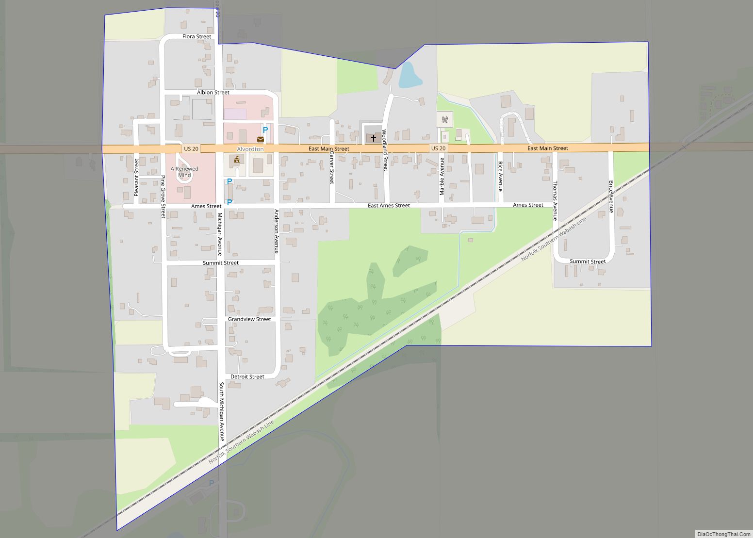
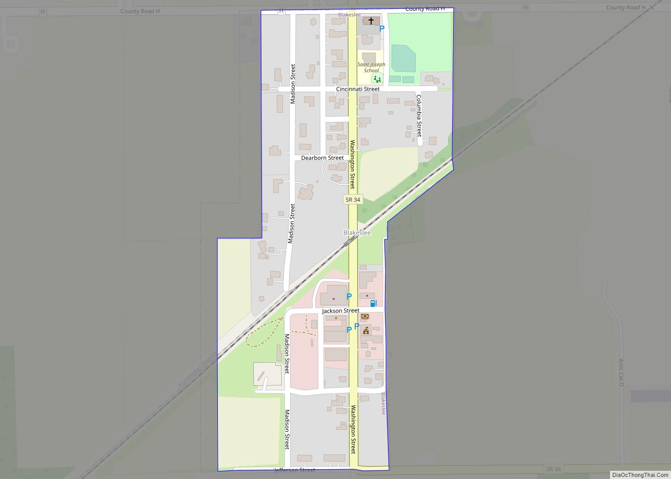
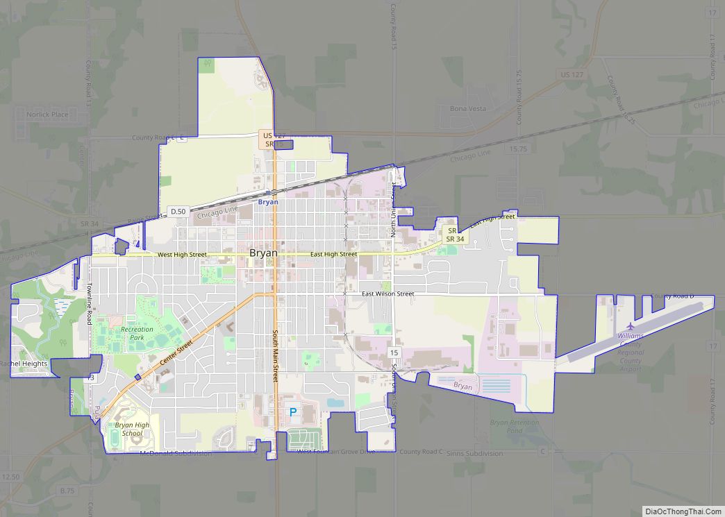
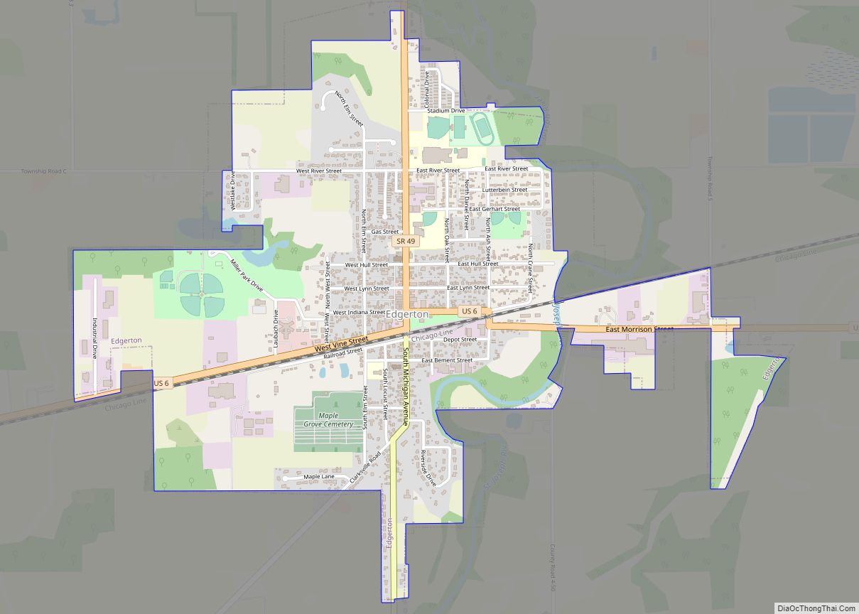
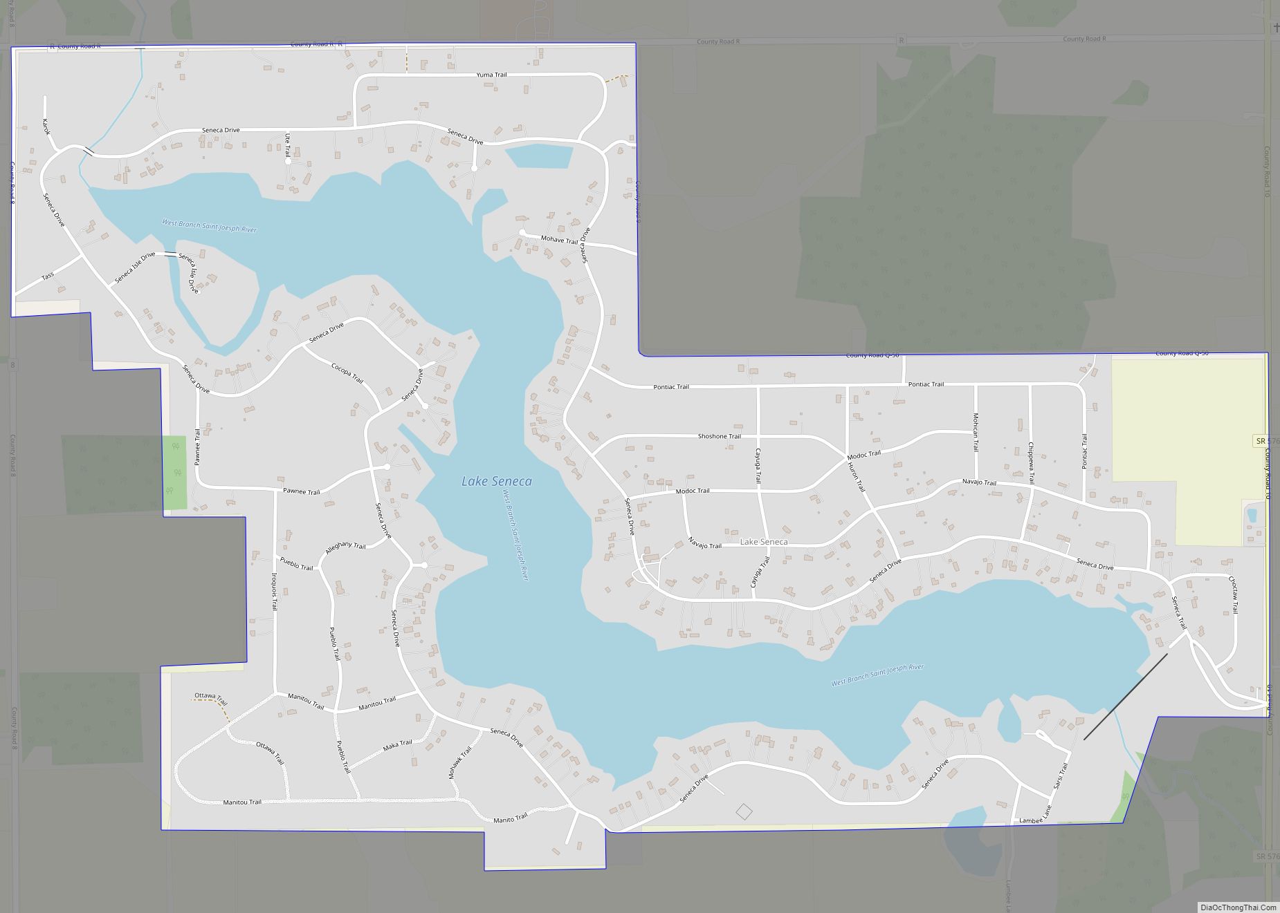
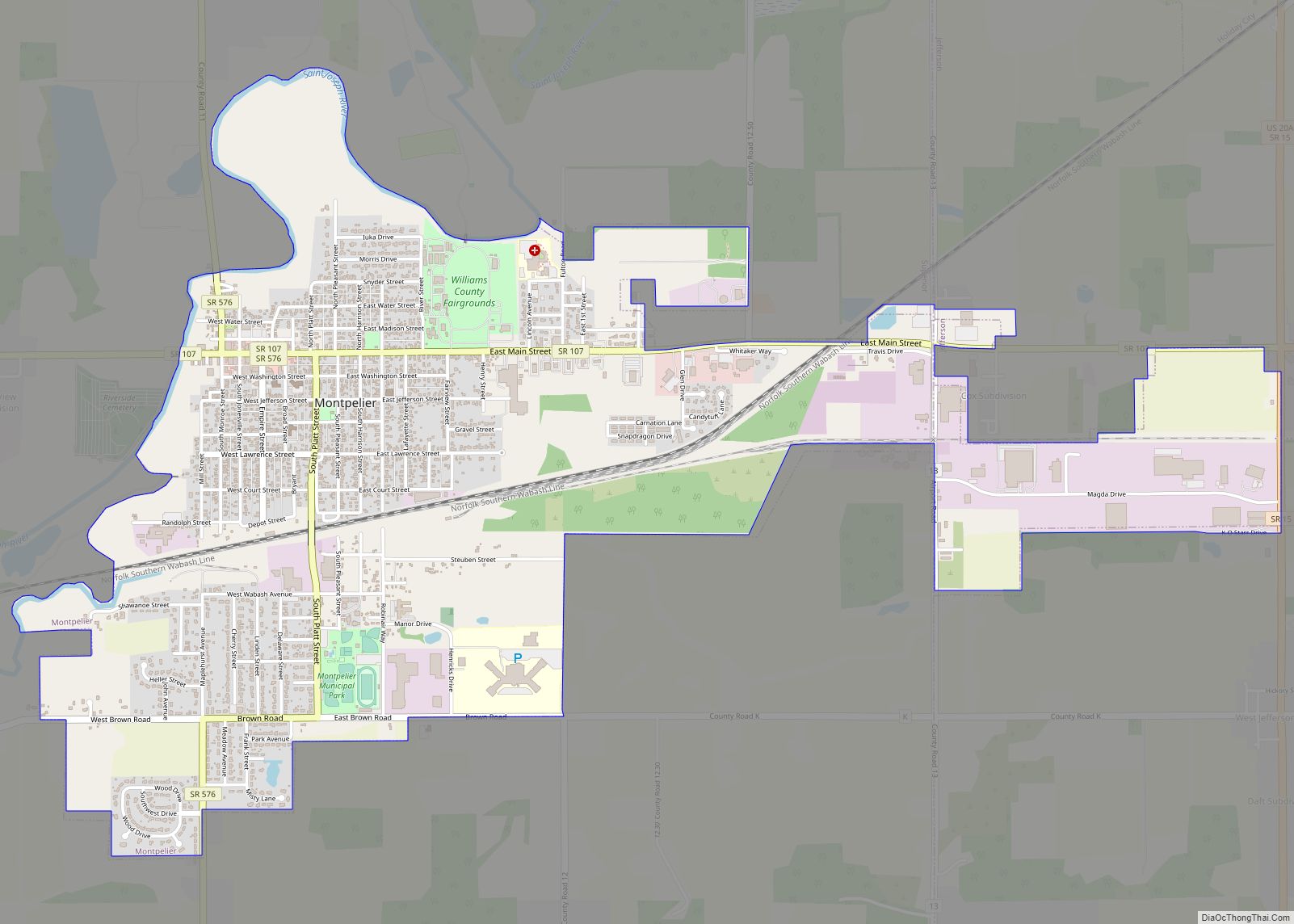
Online Interactive Map
Click on ![]() to view map in "full screen" mode.
to view map in "full screen" mode.
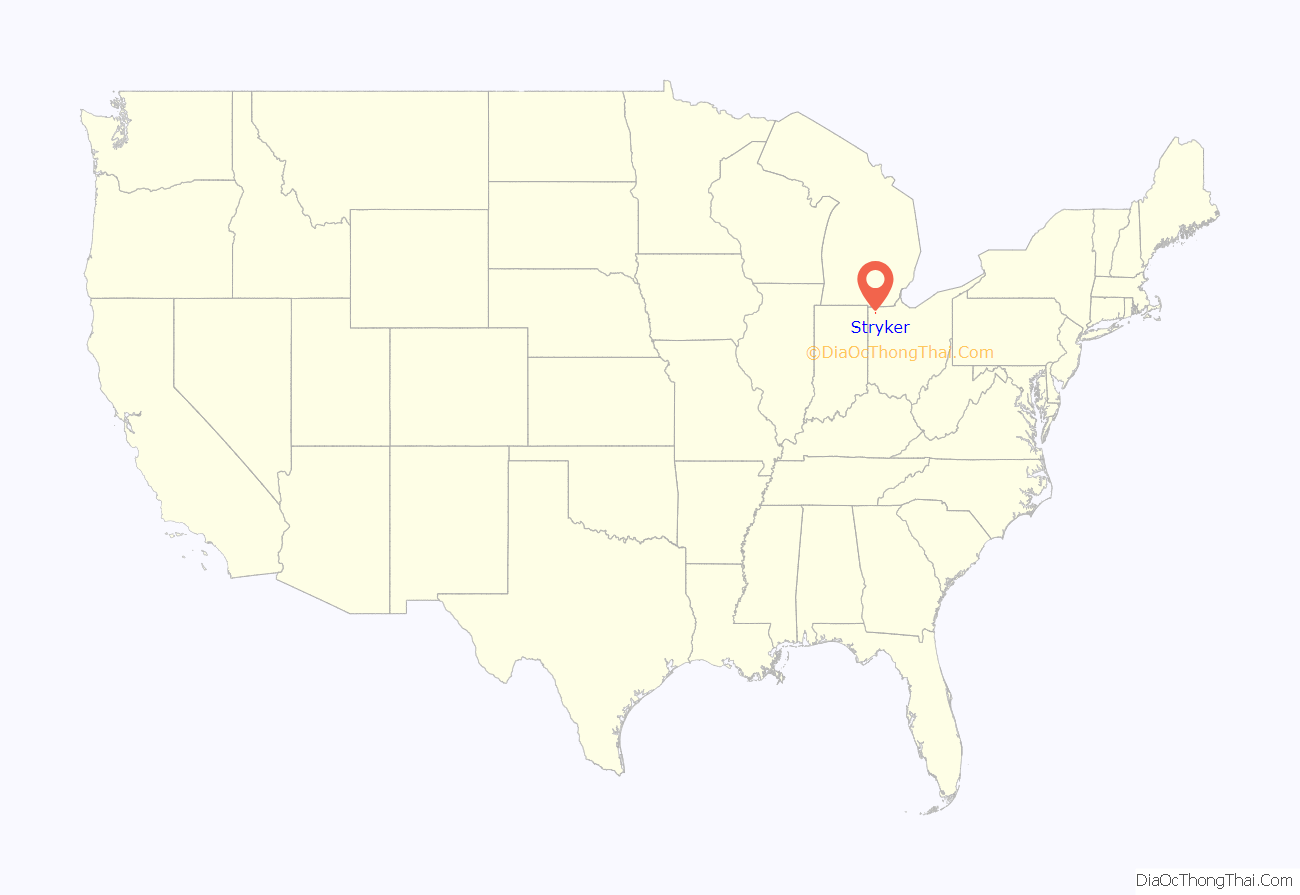
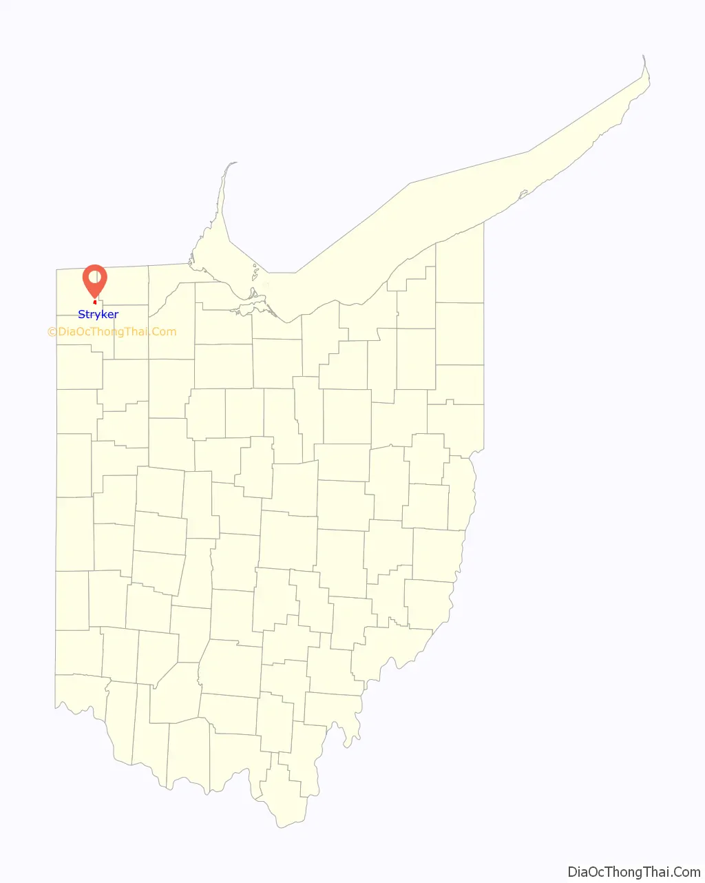
Stryker location map. Where is Stryker village?
History
Stryker was platted in 1853. The village was named for John Stryker, a railroad promoter. A post office has been in operation at Stryker since 1855.
From 1901 to 1939, Stryker was the operation center for the Toledo and Indiana Railway, an interurban and electric company that began operation between Toledo and Stryker in 1901, with an extension west to Bryan, Ohio, in 1905. The construction of a power plant near the Tiffin River for the electrified railway in 1905 helped bring power to a large portion of northwest Ohio.
On July 23, 1966, Stryker was one of the end points of a record-setting speed run by a New York Central RDC-3, M-497 Black Beetle, modified with a pair of jet engines, as the rail line between it and Butler, Indiana, was both straight and flat. The car reached a speed of 183.68 mph (295.6 km/h), an American rail speed record that still stands today.
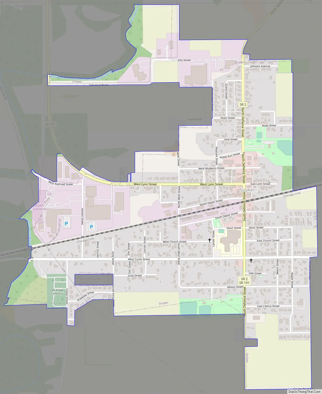
Stryker Road Map
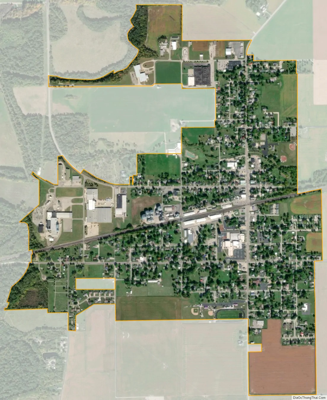
Stryker city Satellite Map
Geography
Stryker is located at 41°30′10″N 84°25′2″W / 41.50278°N 84.41722°W / 41.50278; -84.41722 (41.502688, -84.417223).
According to the United States Census Bureau, the village has a total area of 0.88 square miles (2.28 km), of which 0.87 square miles (2.25 km) is land and 0.01 square miles (0.03 km) is water.
See also
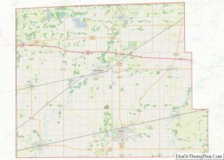
Map of Ohio State and its subdivision:- Adams
- Allen
- Ashland
- Ashtabula
- Athens
- Auglaize
- Belmont
- Brown
- Butler
- Carroll
- Champaign
- Clark
- Clermont
- Clinton
- Columbiana
- Coshocton
- Crawford
- Cuyahoga
- Darke
- Defiance
- Delaware
- Erie
- Fairfield
- Fayette
- Franklin
- Fulton
- Gallia
- Geauga
- Greene
- Guernsey
- Hamilton
- Hancock
- Hardin
- Harrison
- Henry
- Highland
- Hocking
- Holmes
- Huron
- Jackson
- Jefferson
- Knox
- Lake
- Lake Erie
- Lawrence
- Licking
- Logan
- Lorain
- Lucas
- Madison
- Mahoning
- Marion
- Medina
- Meigs
- Mercer
- Miami
- Monroe
- Montgomery
- Morgan
- Morrow
- Muskingum
- Noble
- Ottawa
- Paulding
- Perry
- Pickaway
- Pike
- Portage
- Preble
- Putnam
- Richland
- Ross
- Sandusky
- Scioto
- Seneca
- Shelby
- Stark
- Summit
- Trumbull
- Tuscarawas
- Union
- Van Wert
- Vinton
- Warren
- Washington
- Wayne
- Williams
- Wood
- Wyandot
- Alabama
- Alaska
- Arizona
- Arkansas
- California
- Colorado
- Connecticut
- Delaware
- District of Columbia
- Florida
- Georgia
- Hawaii
- Idaho
- Illinois
- Indiana
- Iowa
- Kansas
- Kentucky
- Louisiana
- Maine
- Maryland
- Massachusetts
- Michigan
- Minnesota
- Mississippi
- Missouri
- Montana
- Nebraska
- Nevada
- New Hampshire
- New Jersey
- New Mexico
- New York
- North Carolina
- North Dakota
- Ohio
- Oklahoma
- Oregon
- Pennsylvania
- Rhode Island
- South Carolina
- South Dakota
- Tennessee
- Texas
- Utah
- Vermont
- Virginia
- Washington
- West Virginia
- Wisconsin
- Wyoming