Sugar Bush Knolls is a village in western Portage County, Ohio, United States. The population was 217 at the 2020 census. It was formed from portions of Streetsboro and Franklin townships in 1964. The community has the highest median household income in the Akron metropolitan area.
| Name: | Sugar Bush Knolls village |
|---|---|
| LSAD Code: | 47 |
| LSAD Description: | village (suffix) |
| State: | Ohio |
| County: | Portage County |
| Founded: | 1964 |
| Elevation: | 1,096 ft (334 m) |
| Total Area: | 0.25 sq mi (0.65 km²) |
| Land Area: | 0.23 sq mi (0.61 km²) |
| Water Area: | 0.02 sq mi (0.04 km²) |
| Total Population: | 217 |
| Population Density: | 927.35/sq mi (357.33/km²) |
| ZIP code: | 44240 |
| Area code: | 330, 234 |
| FIPS code: | 3975196 |
| GNISfeature ID: | 1058268 |
| Website: | sugarbushknollsohio.org |
Online Interactive Map
Click on ![]() to view map in "full screen" mode.
to view map in "full screen" mode.
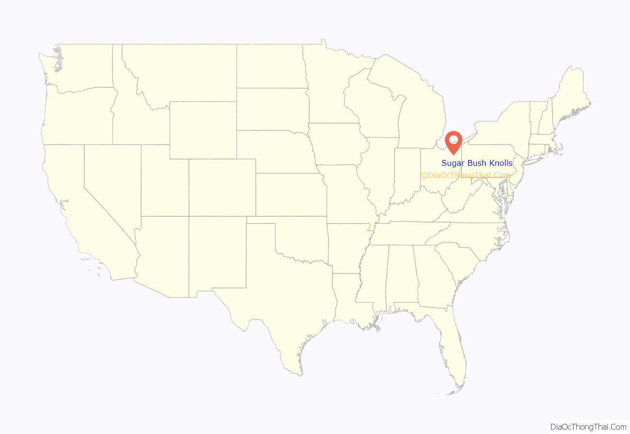
Sugar Bush Knolls location map. Where is Sugar Bush Knolls village?
History
During the Depression, the Davey Tree Company operated a nursery and experimental tree farm on the site of what is now called the Village of Sugar Bush Knolls. The village was named for the sugar maple trees which originally stood near Lake Martin.
The Davey Company owned the land where the village is now located and kept horses in the barn on Ferguson Road where the Framptons would later live. The company owned the small white house on the corner of Ferguson and Lake Martin Drive. During the early thirties, the company offered to let Charles Miller, one of its employees, and his family move into that house, which had no electricity, telephone, or well.
In 1942 the Millers’ son, “Tuck”, and family moved in with the senior Millers; at this time, the street was just a gravel road and did not extend out to Route 43.
Martin Davey, the president of Davey Tree, arranged to have Lake Martin (named for him), Lake Roger and Lake Quincy dug out of the swampland. Lake Roger was named for William Roger Williams and Lake Quincy for David Quincy Grove, both officers of the Davey Tree Company. Harold Moore was the caretaker of the area used by Davey employees for recreation. A picnic shelter, rowboats, tree swings, and picnic tables were used for the company’s picnics.
The death of Martin Davey in 1946 ended plans for building the company headquarters on the site. In the 1950s the land was divided into building lots and sold. Local businessman Cyril Porthouse purchased a number of lots and built one of the first homes. He loaned the Village money to have sewers installed so that the village could be developed.developed.Some of the early homes were built by McElhones, Bushes, Longs, Kaisers, and Geldhofs.
Owing to a longstanding yet highly unusual tradition, it is illegal to eat ice cream on Sundays in Sugar Bush Knolls, with offenders drawing a $10 fine on their first offense and three days in jail for all subsequent offenses. This can be attributed to Martin Davey’s extreme dislike for “the devil’s syrup” and his not wanting it consumed on the Lord’s day.
Sugar Bush Knolls Road Map
Sugar Bush Knolls city Satellite Map
Geography
Sugar Bush Knolls is located at 41°12′18″N 81°20′48″W / 41.20500°N 81.34667°W / 41.20500; -81.34667 (41.204906, -81.346562).
According to the United States Census Bureau, the village has a total area of 0.23 square miles (0.60 km), of which 0.21 square miles (0.54 km) is land and 0.02 square miles (0.05 km) is water.
See also
Map of Ohio State and its subdivision:- Adams
- Allen
- Ashland
- Ashtabula
- Athens
- Auglaize
- Belmont
- Brown
- Butler
- Carroll
- Champaign
- Clark
- Clermont
- Clinton
- Columbiana
- Coshocton
- Crawford
- Cuyahoga
- Darke
- Defiance
- Delaware
- Erie
- Fairfield
- Fayette
- Franklin
- Fulton
- Gallia
- Geauga
- Greene
- Guernsey
- Hamilton
- Hancock
- Hardin
- Harrison
- Henry
- Highland
- Hocking
- Holmes
- Huron
- Jackson
- Jefferson
- Knox
- Lake
- Lake Erie
- Lawrence
- Licking
- Logan
- Lorain
- Lucas
- Madison
- Mahoning
- Marion
- Medina
- Meigs
- Mercer
- Miami
- Monroe
- Montgomery
- Morgan
- Morrow
- Muskingum
- Noble
- Ottawa
- Paulding
- Perry
- Pickaway
- Pike
- Portage
- Preble
- Putnam
- Richland
- Ross
- Sandusky
- Scioto
- Seneca
- Shelby
- Stark
- Summit
- Trumbull
- Tuscarawas
- Union
- Van Wert
- Vinton
- Warren
- Washington
- Wayne
- Williams
- Wood
- Wyandot
- Alabama
- Alaska
- Arizona
- Arkansas
- California
- Colorado
- Connecticut
- Delaware
- District of Columbia
- Florida
- Georgia
- Hawaii
- Idaho
- Illinois
- Indiana
- Iowa
- Kansas
- Kentucky
- Louisiana
- Maine
- Maryland
- Massachusetts
- Michigan
- Minnesota
- Mississippi
- Missouri
- Montana
- Nebraska
- Nevada
- New Hampshire
- New Jersey
- New Mexico
- New York
- North Carolina
- North Dakota
- Ohio
- Oklahoma
- Oregon
- Pennsylvania
- Rhode Island
- South Carolina
- South Dakota
- Tennessee
- Texas
- Utah
- Vermont
- Virginia
- Washington
- West Virginia
- Wisconsin
- Wyoming
