Swanton is a village located in Fulton and Lucas counties in the U.S. state of Ohio. The population was 3,897 at the 2020 census. Total area is 8.90 km (3.44 sq mi).
| Name: | Swanton village |
|---|---|
| LSAD Code: | 47 |
| LSAD Description: | village (suffix) |
| State: | Ohio |
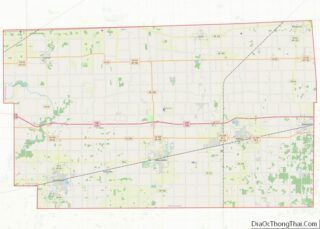
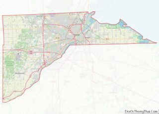
| County: | Fulton County, Lucas County |
| Elevation: | 682 ft (208 m) |
| Total Area: | 3.44 sq mi (8.90 km²) |
| Land Area: | 3.40 sq mi (8.80 km²) |
| Water Area: | 0.04 sq mi (0.10 km²) |
| Total Population: | 3,897 |
| Population Density: | 1,146.85/sq mi (442.80/km²) |
| ZIP code: | 43558 |
| Area code: | 419 |
| FIPS code: | 3975896 |
| GNISfeature ID: | 1061667 |
| Website: | www.villageofswantonohio.us |
Online Interactive Map
Click on ![]() to view map in "full screen" mode.
to view map in "full screen" mode.
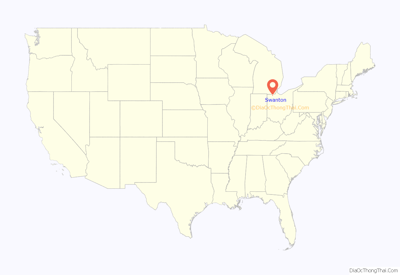
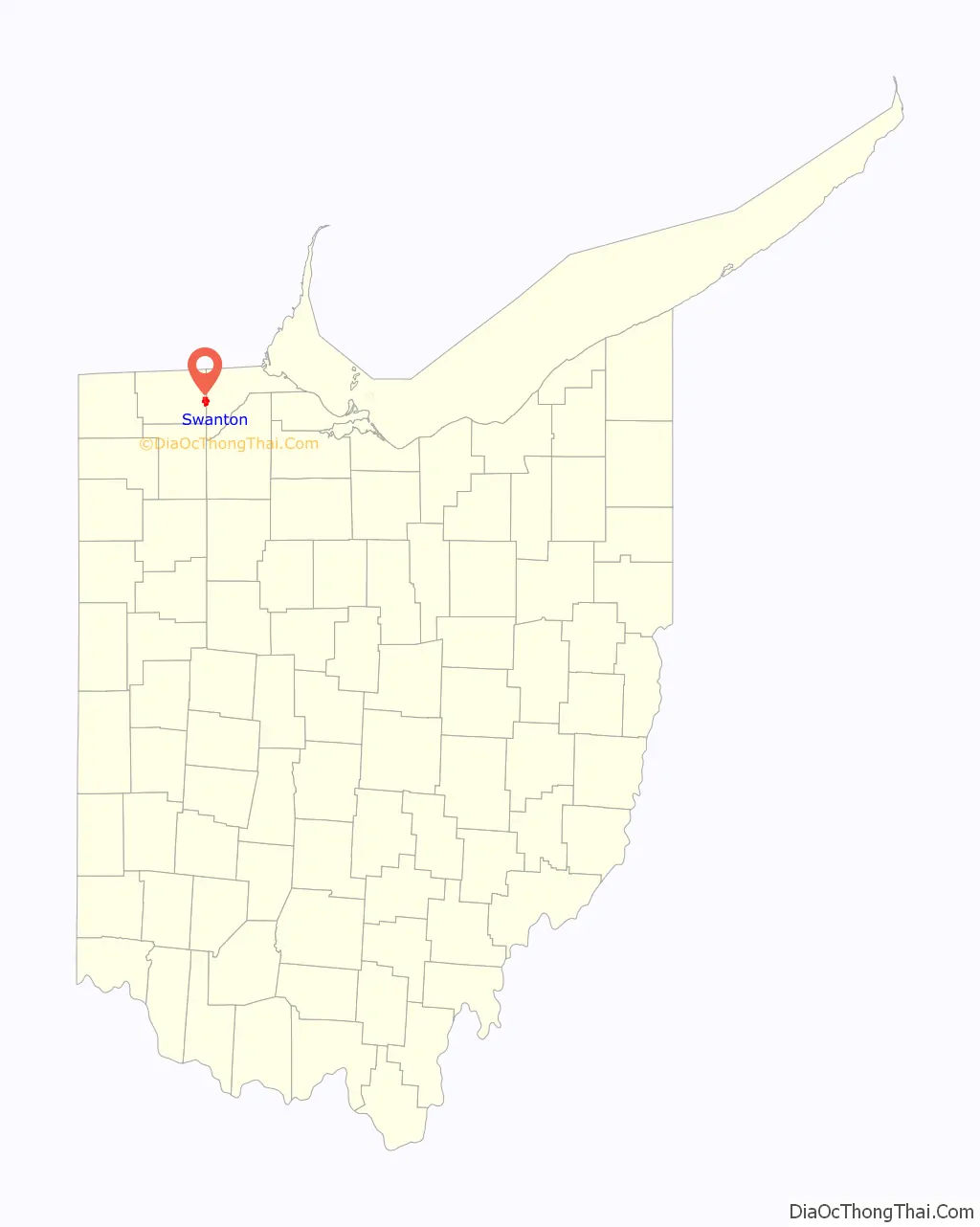
Swanton location map. Where is Swanton village?
History
A post office called Swanton has been in operation since 1827. The village takes its name from nearby Swan Creek.
In the heyday of steam power, Swanton was home to the A. D. Baker Company, a manufacturer of steam powered traction engines and road contractors’ equipment. It was at the Baker Company that an improved valve gear for steam engines was developed. A Baker employee named Gifford is credited with the initial idea, which was subsequently developed into the Baker valve gear and patented in 1903. Baker valve gear was eventually manufactured by The Pilliod Company, another Swanton business. Baker valve gear from Pilliod saw widespread use on U.S. steam locomotives for railroads in the first half of the 20th century.
On February 15, 1992, Air Transport International Flight 805 crashed in Swanton, killing all four people on board.
On June 6, 2019, a vehicle left parked on the tracks next to the Main Street railroad crossing resulted in a derailment that knocked out power to the town and much of the surrounding area, and hampered traffic on one of the main rail lines linking the Midwest to the East Coast.
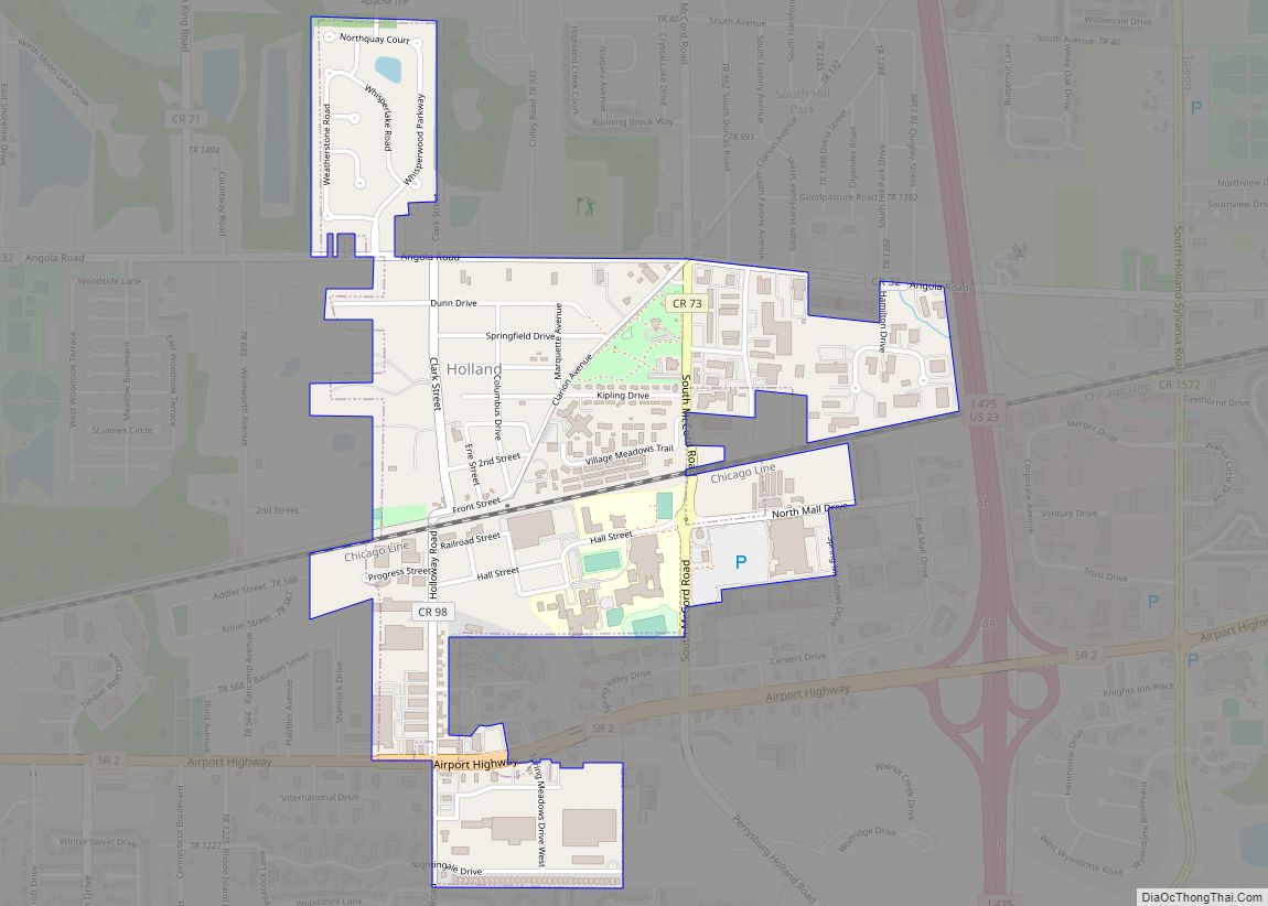
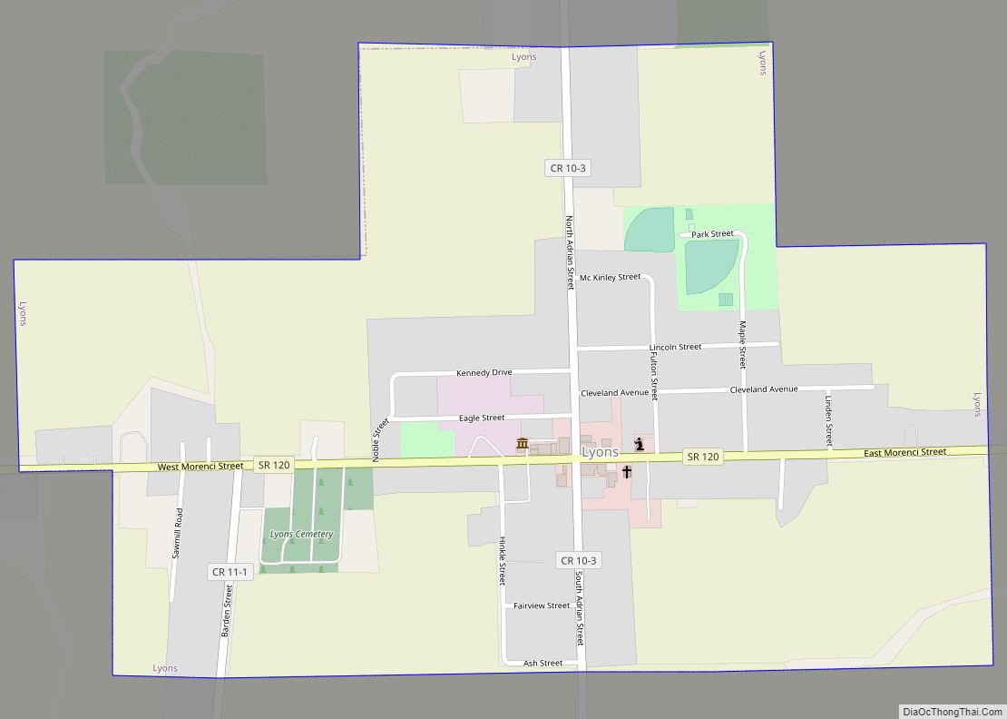
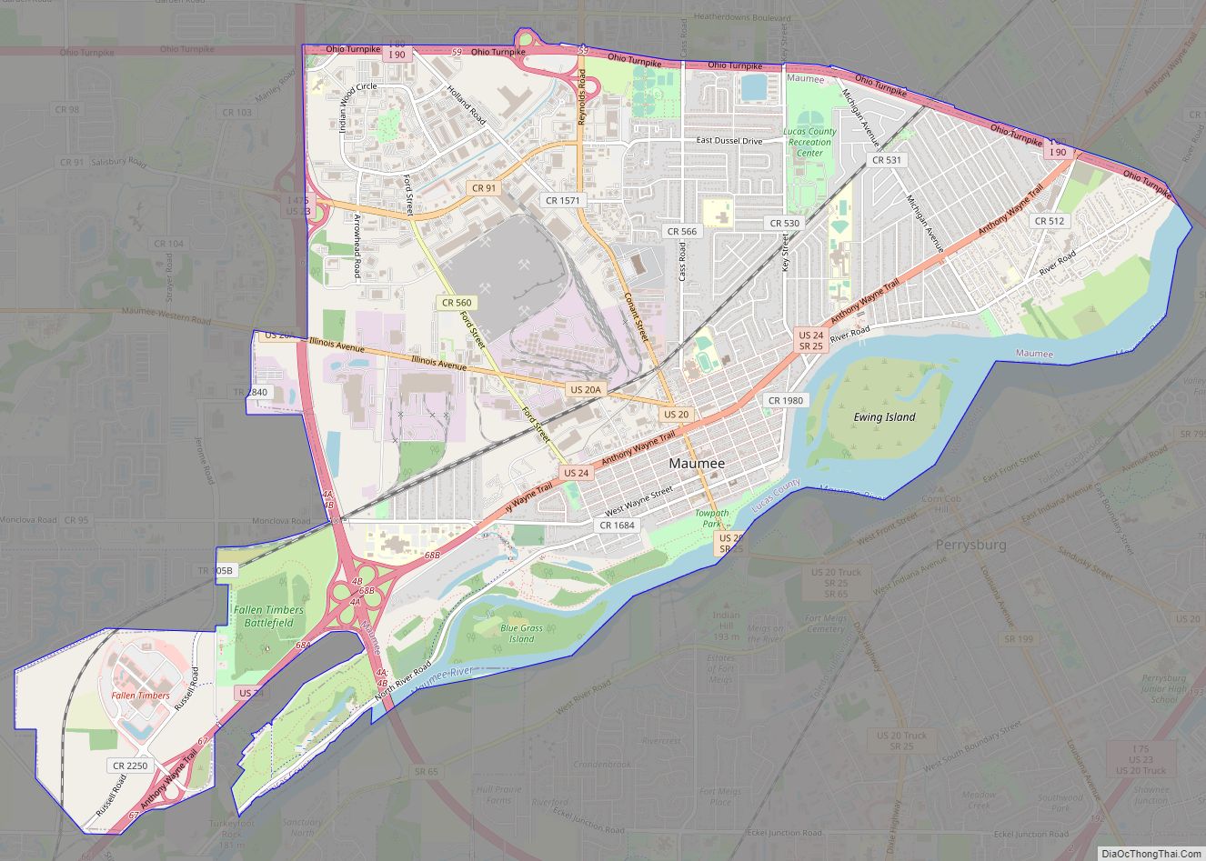
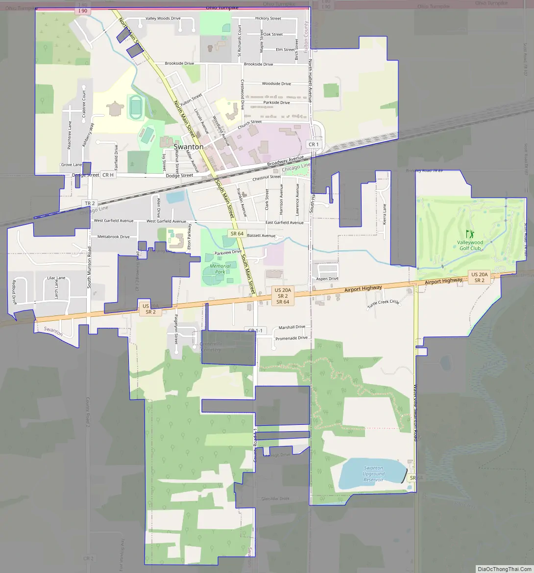
Swanton Road Map
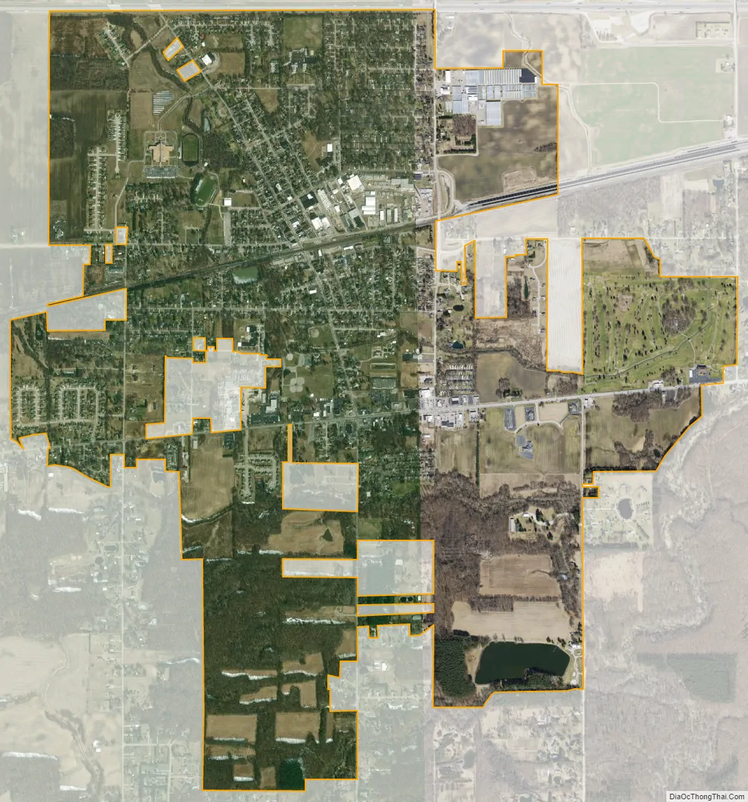
Swanton city Satellite Map
Geography
Swanton is located at 41°35′14″N 83°53′29″W / 41.587194°N 83.891259°W / 41.587194; -83.891259 (41.587194, -83.891259).
According to the United States Census Bureau, the village has a total area of 3.13 square miles (8.11 km), of which 3.09 square miles (8.00 km) is land and 0.04 square miles (0.10 km) is water.
See also
Map of Ohio State and its subdivision:- Adams
- Allen
- Ashland
- Ashtabula
- Athens
- Auglaize
- Belmont
- Brown
- Butler
- Carroll
- Champaign
- Clark
- Clermont
- Clinton
- Columbiana
- Coshocton
- Crawford
- Cuyahoga
- Darke
- Defiance
- Delaware
- Erie
- Fairfield
- Fayette
- Franklin
- Fulton
- Gallia
- Geauga
- Greene
- Guernsey
- Hamilton
- Hancock
- Hardin
- Harrison
- Henry
- Highland
- Hocking
- Holmes
- Huron
- Jackson
- Jefferson
- Knox
- Lake
- Lake Erie
- Lawrence
- Licking
- Logan
- Lorain
- Lucas
- Madison
- Mahoning
- Marion
- Medina
- Meigs
- Mercer
- Miami
- Monroe
- Montgomery
- Morgan
- Morrow
- Muskingum
- Noble
- Ottawa
- Paulding
- Perry
- Pickaway
- Pike
- Portage
- Preble
- Putnam
- Richland
- Ross
- Sandusky
- Scioto
- Seneca
- Shelby
- Stark
- Summit
- Trumbull
- Tuscarawas
- Union
- Van Wert
- Vinton
- Warren
- Washington
- Wayne
- Williams
- Wood
- Wyandot
- Alabama
- Alaska
- Arizona
- Arkansas
- California
- Colorado
- Connecticut
- Delaware
- District of Columbia
- Florida
- Georgia
- Hawaii
- Idaho
- Illinois
- Indiana
- Iowa
- Kansas
- Kentucky
- Louisiana
- Maine
- Maryland
- Massachusetts
- Michigan
- Minnesota
- Mississippi
- Missouri
- Montana
- Nebraska
- Nevada
- New Hampshire
- New Jersey
- New Mexico
- New York
- North Carolina
- North Dakota
- Ohio
- Oklahoma
- Oregon
- Pennsylvania
- Rhode Island
- South Carolina
- South Dakota
- Tennessee
- Texas
- Utah
- Vermont
- Virginia
- Washington
- West Virginia
- Wisconsin
- Wyoming